The best gravel rides in Weißeritztalhänge
4.5
(49)
276
riders
53
rides
Gravel biking in Weißeritztalhänge offers diverse landscapes and varied terrain suitable for the sport. The region is characterized by dense beech forests, providing shaded paths, and features that create a mountain path feel, including sections with auxiliary ropes and footbridges. Riders can navigate a mix of surfaces, from tarmac to loose gravel and root-covered trails, while enjoying expansive valley views. Designated natural monuments also highlight the ecological significance of the area.
Best gravel bike trails in Weißeritztalhänge
- The most popular…
Last updated: July 3, 2026
5.0
(1)
3
riders
57.1km
03:48
870m
870m
Hard gravel ride. Very good fitness required. You may need to push your bike for some segments of this route.
6
riders
29.6km
01:42
350m
350m
Moderate gravel ride. Good fitness required. Mostly paved surfaces. Suitable for all skill levels.

Sign up for free
4.0
(1)
5
riders
38.2km
02:35
600m
600m
Hard gravel ride. Very good fitness required. Mostly paved surfaces. Suitable for all skill levels.
5.0
(5)
14
riders
51.6km
03:12
630m
630m
Hard gravel ride. Very good fitness required. Mostly paved surfaces. Suitable for all skill levels.
4.0
(1)
7
riders
56.5km
03:21
700m
700m
Hard gravel ride. Very good fitness required. Mostly paved surfaces. Suitable for all skill levels.
Get access to more routes and recommendations from other explorers.
Sign up for free
Already have an account?
Our route recommendations are based on thousands of hikes, rides, and runs completed by other people on komoot.
Start today with a free account
Your next adventure awaits.
Login or Signup
Popular around Weißeritztalhänge
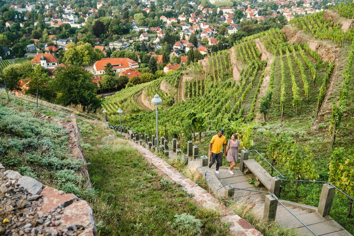
Great places closer to home – nature and fun in the Dresden Elbland
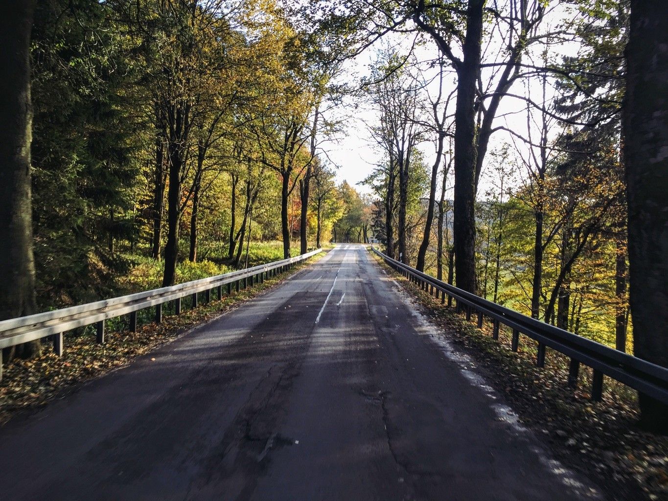
Weekend tours in the Ore Mountains

Wandertouren - Eisenbahn & Wanderstock
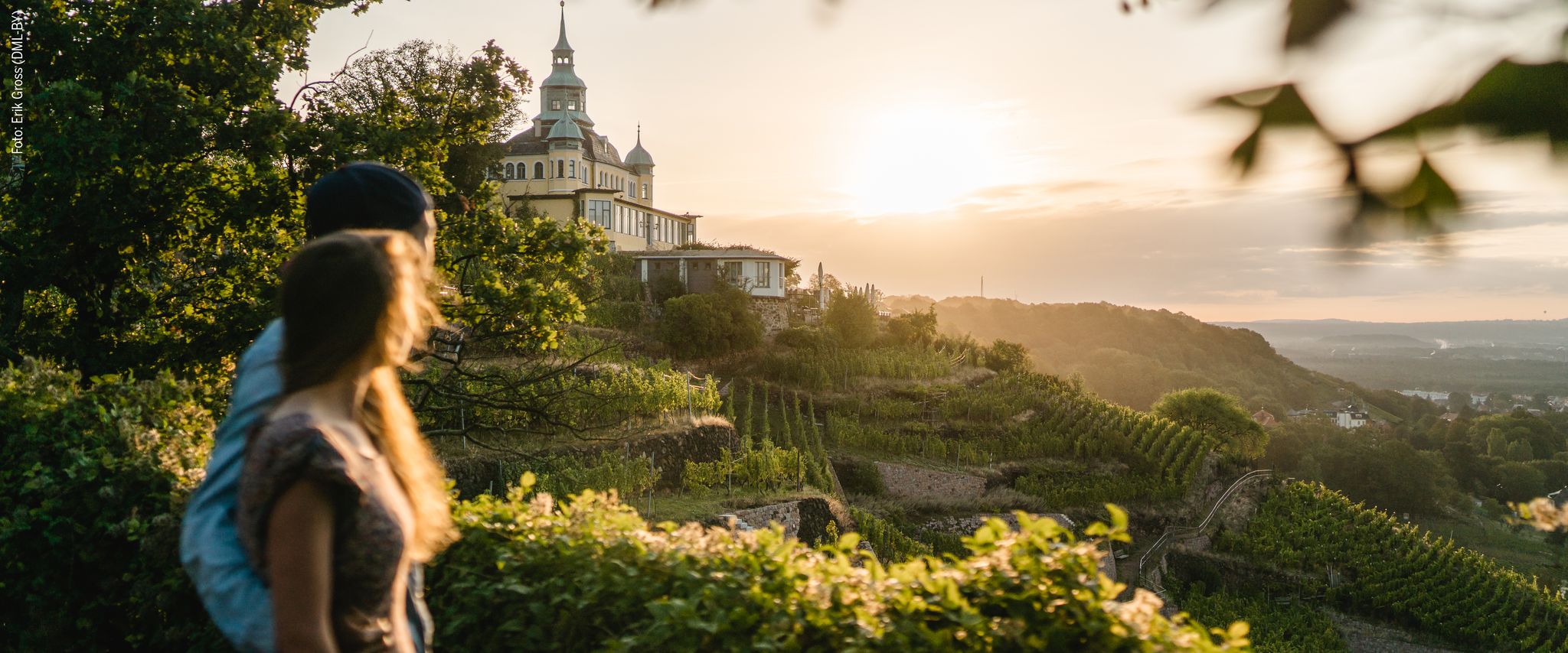
Natur entdecken – 10 Wandertouren abseits der Hauptpfade im Dresden Elbland
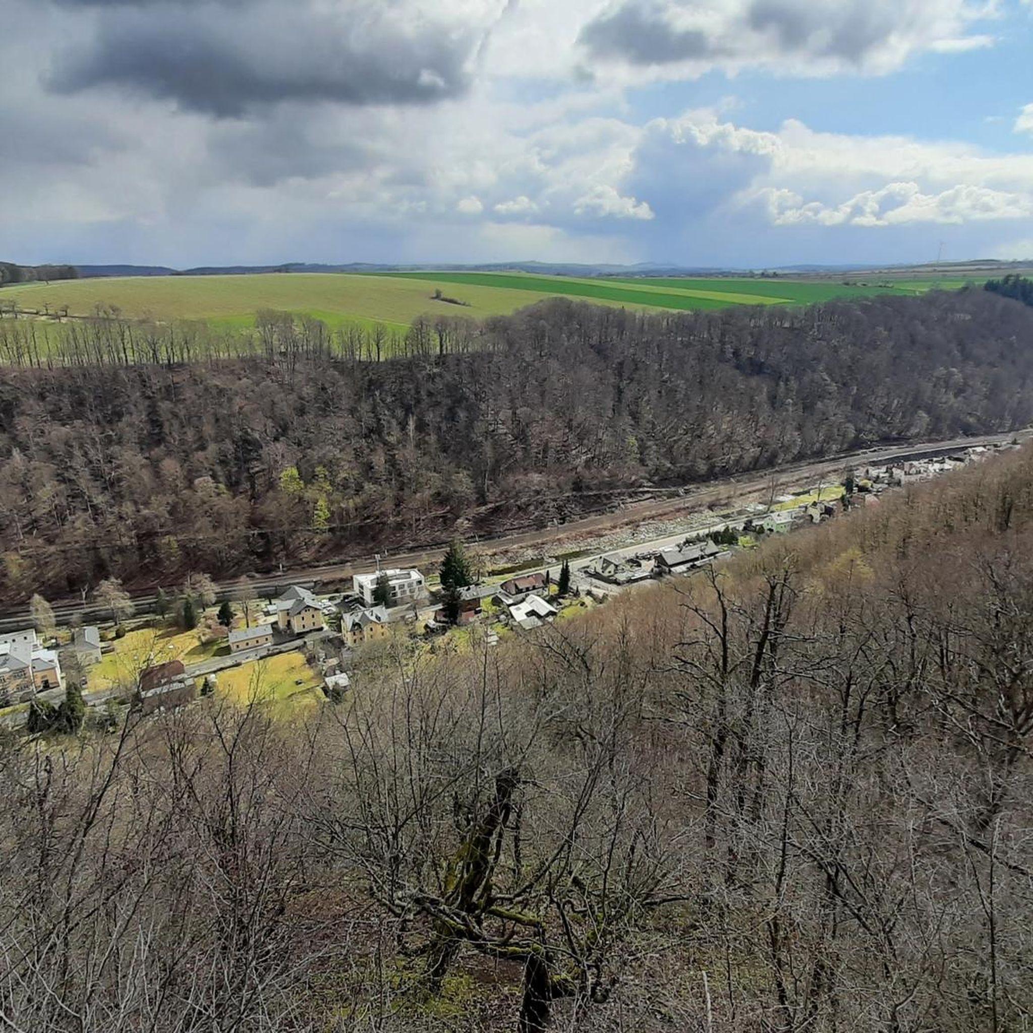
Hiking in Weißeritztalhänge
Cycling in Weißeritztalhänge
Running Trails in Weißeritztalhänge
MTB Trails in Weißeritztalhänge
Road Cycling Routes in Weißeritztalhänge
Other adventures in Weißeritztalhänge


Tips from the Community

The dam was built from 1908 onwards near Klingenberg in the foothills of the Ore Mountains, based on an architectural design by Hans Poelzig. In 1914, the dam went into operation and was named after the last Saxon king: Friedrich-August-Talsperre. The impounded body of water is the Wilde Weißeritz. Its construction was part of a flood protection concept that was developed after the devastating flood of 1897 by the district administration of Dresden-Altstadt under the leadership of District Administrator and Dam Commissioner Arnold Streit. During construction, a standard-gauge industrial railway was built from Klingenberg-Colmnitz station to the construction site, which operated from 1911 to 1914. The Höhenweg trail now runs along its route over the Streichholzbrücke bridge. (Wikipedia)
0
0

The Schlossteich in Grillenburg, with a water surface of approx. 21,000 square meters, invites you to go punting. There are 20 rowing boats available. After a relaxing punting trip, a break at the snack bar, which also offers plenty of seating, is worthwhile. https://www.dresden-elbland.de/de/poi/bootsverleih/gondelerlebnis-imbiss-grillenburg/805811735/
0
0
Bathing, gondola rides or simply enjoying...
1
0

It is simply wonderfully beautiful here 😊.
0
0

Beautiful, but sometimes a bit crowded
0
0
Beautiful path, but whoever is responsible for the gutters is completely incompetent. It's life-threatening. Road cyclists, in particular, please be extremely careful.
0
0

It's always worth stopping by Manu and Kai-Uwe's place. They host wonderful events several times a year.
0
0

Frequently Asked Questions
How many gravel bike trails are available in Weißeritztalhänge?
Weißeritztalhänge offers a wide selection of gravel bike trails, with over 80 routes available for exploration. These range from moderate paths to more challenging routes, catering to various skill levels.
What kind of terrain can I expect on gravel bike trails in Weißeritztalhänge?
The region is known for its diverse terrain, perfect for gravel biking. You'll encounter a mix of surfaces, including tarmac, loose gravel, and root-covered paths. Many routes wind through dense beech forests and feature elements that give a 'mountain path feel,' sometimes with auxiliary ropes and footbridges, alongside expansive valley views.
Are there any family-friendly gravel bike trails in Weißeritztalhänge?
Yes, there are options suitable for families. While some routes can be challenging, you can find easier paths. For instance, the Malter Dam – Malter Reservoir loop from Freital-Coßmannsdorf is a moderate 24.3 km path that winds through varied terrain, including sections along the Malter Reservoir, which might be suitable for families looking for a less strenuous ride.
What are some notable landmarks or attractions I can see along the gravel bike routes?
Weißeritztalhänge is rich in natural and historical attractions. You can encounter the historic Brüderweg Cliffside Trail, the impressive Ruins of Tharandt Castle, or enjoy views from the Stille Liebe Lookout Hut. Other points of interest include Heinrich Cotta's Grave and the Judeich Memorial Grave.
Are there any challenging gravel bike routes for experienced riders?
Absolutely. For experienced riders seeking a challenge, routes like the Malter Dam – View of Klingenberg Reservoir loop from Tharandt offer significant elevation changes over its 57 km distance. Another difficult option is the Rabenauer Grund – View of Klingenberg Reservoir loop from Rabenau, which covers 38.5 km with substantial climbs.
What is the best time of year to go gravel biking in Weißeritztalhänge?
The diverse landscapes and natural features of Weißeritztalhänge make it appealing for gravel biking across multiple seasons. Spring and autumn offer pleasant temperatures and beautiful scenery with changing foliage. Summer provides lush green forests and shaded paths, while winter conditions can vary, potentially offering unique snowy rides, though some paths might be more challenging.
Are there any circular gravel bike routes in the area?
Yes, many of the gravel bike trails in Weißeritztalhänge are designed as loops, allowing you to start and end at the same point. Examples include the Stream in Tharandter Wald – Grillenburg Hunting Lodge loop from Tharandt, which takes you through dense beech forests, and the Weißeritztal – Seer Pond loop from Freital-Hainsberg.
What do other gravel bikers say about the trails in Weißeritztalhänge?
The gravel bike trails in Weißeritztalhänge are highly rated by the komoot community, with an average score of 4.5 stars from over 60 reviews. Riders often praise the diverse landscapes, the engaging mix of surfaces, and the scenic valley views that make for a rewarding outdoor experience.
Is public transport available to access the gravel bike trails?
While specific public transport connections to every trailhead are not detailed, the region is generally accessible. Towns like Tharandt and Freital-Coßmannsdorf, which serve as starting points for several routes, often have public transport links. It's advisable to check local transport schedules for the most convenient access points.
Are there places to stop for refreshments or cafes along the routes?
The region offers various opportunities for breaks. The Stille Liebe Lookout Hut is a notable refuge for rest and scenic contemplation. While specific cafes directly on every trail are not listed, starting points like Tharandt and Freital-Coßmannsdorf typically have amenities where you can find refreshments before or after your ride.
Can I bring my dog on the gravel bike trails in Weißeritztalhänge?
Many outdoor trails in the Weißeritztalhänge region are dog-friendly, especially those through forests and natural areas. However, it's always recommended to keep your dog on a leash, particularly in nature reserves or areas with wildlife, and to check for any specific local regulations or signage on individual trails.
Most popular routes in Weißeritztalhänge
Most popular attractions in Weißeritztalhänge

Get inspired with the komoot mobile app


Explore more
Browse the best Gravel rides in other regions.
