The best traffic-free bike rides in Weißeritztalhänge
4.6
(48)
272
riders
38
rides
Gravel biking in Weißeritztalhänge offers a network of no traffic gravel bike trails through diverse landscapes. The region is characterized by dense beech forests, providing impressive views of the valley and varied terrain. Riders can expect a mix of challenging and scenic routes, often incorporating historical landmarks and natural features. The area's topography includes significant elevation changes, making it suitable for mixed-terrain cycling.
Best no traffic gravel bike trails in Weißeritztalhänge
- The most popular no traffic gravel bike trail is…
Last updated: July 9, 2026
5.0
(1)
3
riders
57.1km
03:48
870m
870m
Hard gravel ride. Very good fitness required. You may need to push your bike for some segments of this route.
6
riders
29.6km
01:42
350m
350m
Moderate gravel ride. Good fitness required. Mostly paved surfaces. Suitable for all skill levels.

Sign up for free
4.0
(1)
5
riders
38.2km
02:35
600m
600m
Hard gravel ride. Very good fitness required. Mostly paved surfaces. Suitable for all skill levels.
5.0
(5)
14
riders
51.6km
03:12
630m
630m
Hard gravel ride. Very good fitness required. Mostly paved surfaces. Suitable for all skill levels.
4.0
(1)
7
riders
56.5km
03:21
700m
700m
Hard gravel ride. Very good fitness required. Mostly paved surfaces. Suitable for all skill levels.
Get access to more routes and recommendations from other explorers.
Sign up for free
Already have an account?
Our route recommendations are based on thousands of hikes, rides, and runs completed by other people on komoot.
Start today with a free account
Your next adventure awaits.
Login or Signup
Popular around Weißeritztalhänge
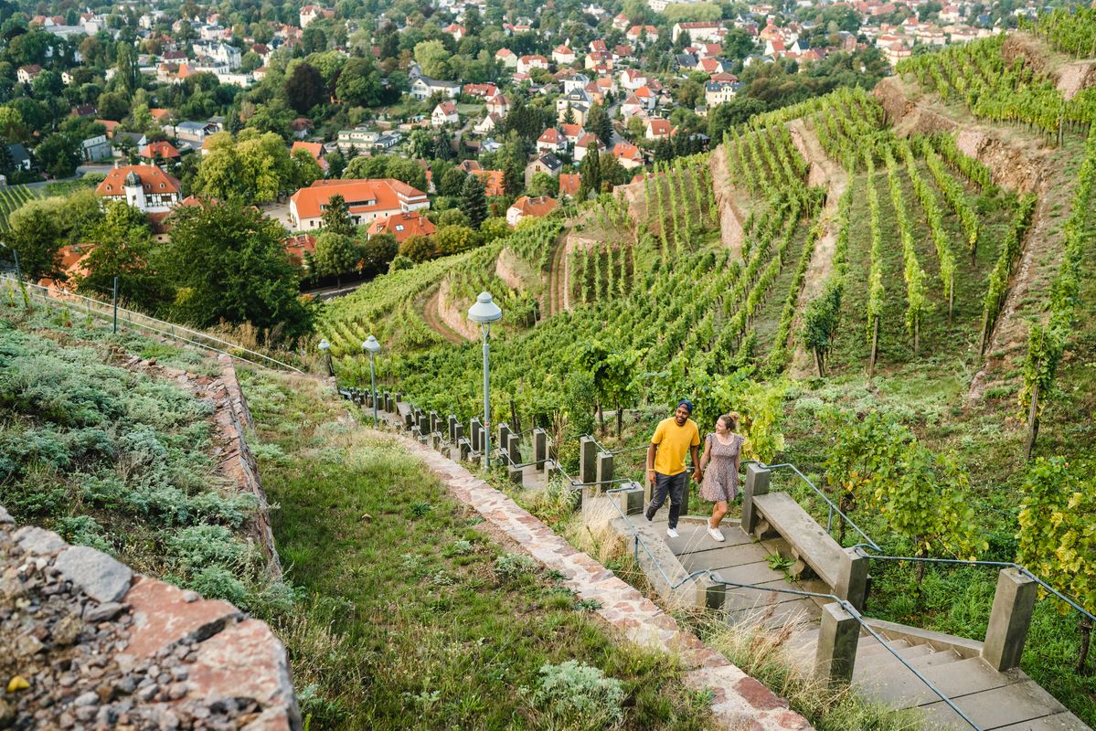
Great places closer to home – nature and fun in the Dresden Elbland
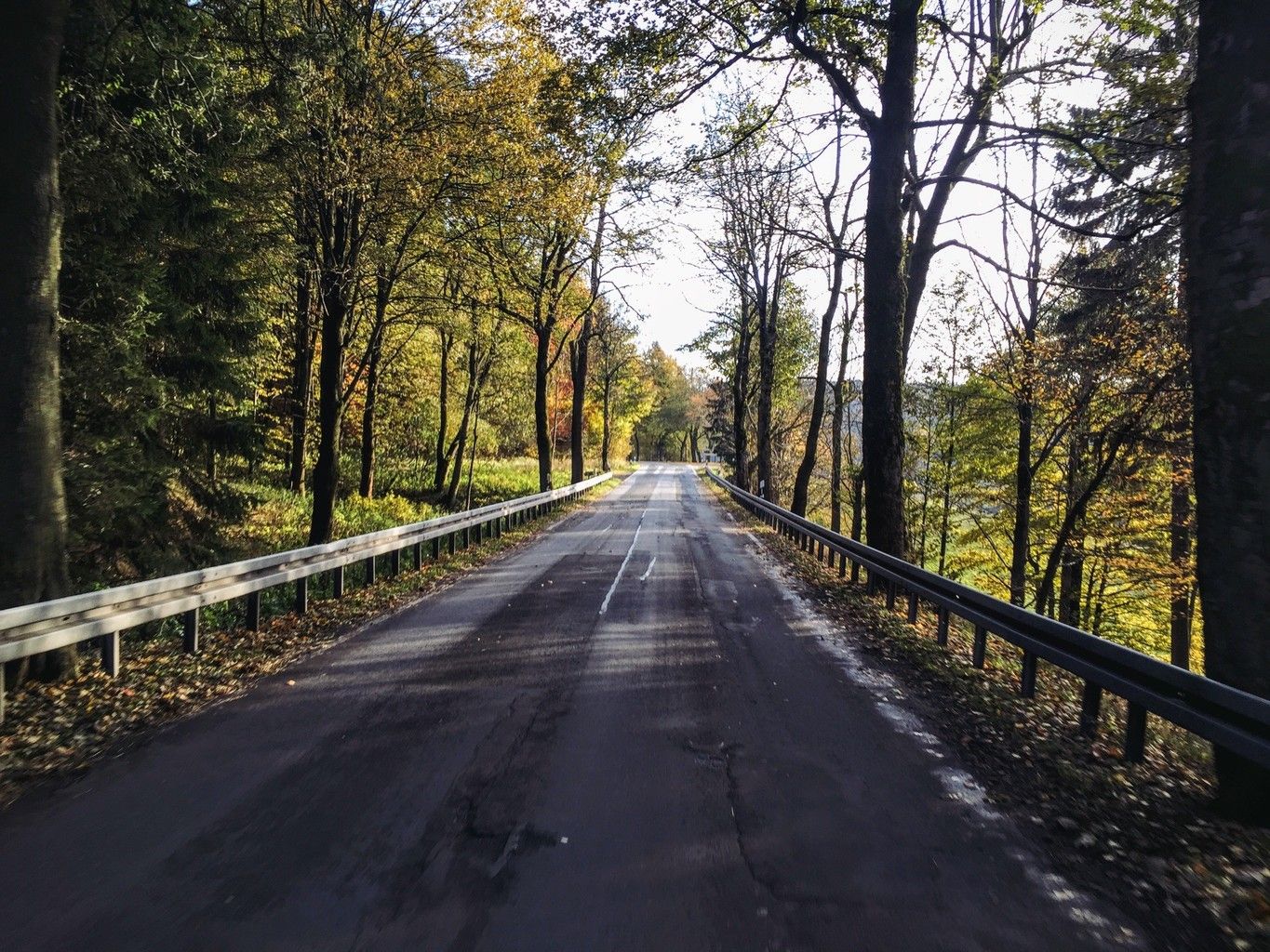
Weekend tours in the Ore Mountains

Wandertouren - Eisenbahn & Wanderstock
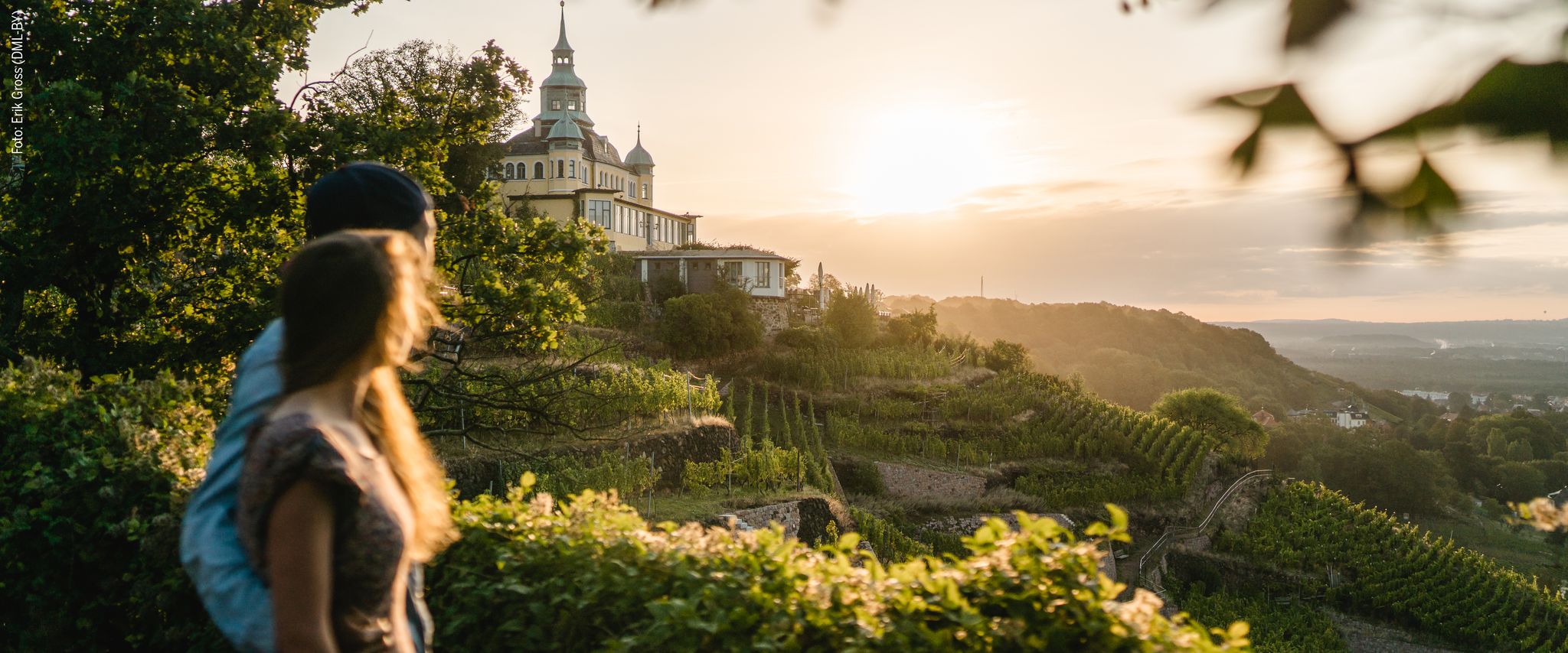
Natur entdecken – 10 Wandertouren abseits der Hauptpfade im Dresden Elbland

Traffic-free bike rides in Weißeritztalhänge
Traffic-free bike rides in Weißeritztalhänge
Other adventures in Weißeritztalhänge


Tips from the Community

The dam was built from 1908 onwards near Klingenberg in the foothills of the Ore Mountains, based on an architectural design by Hans Poelzig. In 1914, the dam went into operation and was named after the last Saxon king: Friedrich-August-Talsperre. The impounded body of water is the Wilde Weißeritz. Its construction was part of a flood protection concept that was developed after the devastating flood of 1897 by the district administration of Dresden-Altstadt under the leadership of District Administrator and Dam Commissioner Arnold Streit. During construction, a standard-gauge industrial railway was built from Klingenberg-Colmnitz station to the construction site, which operated from 1911 to 1914. The Höhenweg trail now runs along its route over the Streichholzbrücke bridge. (Wikipedia)
0
0

The Schlossteich in Grillenburg, with a water surface of approx. 21,000 square meters, invites you to go punting. There are 20 rowing boats available. After a relaxing punting trip, a break at the snack bar, which also offers plenty of seating, is worthwhile. https://www.dresden-elbland.de/de/poi/bootsverleih/gondelerlebnis-imbiss-grillenburg/805811735/
0
0
Bathing, gondola rides or simply enjoying...
1
0

It is simply wonderfully beautiful here 😊.
0
0

Beautiful, but sometimes a bit crowded
0
0
Beautiful path, but whoever is responsible for the gutters is completely incompetent. It's life-threatening. Road cyclists, in particular, please be extremely careful.
0
0

It's always worth stopping by Manu and Kai-Uwe's place. They host wonderful events several times a year.
0
0

Frequently Asked Questions
How many no-traffic gravel bike trails are available in Weißeritztalhänge?
The Weißeritztalhänge region offers a wide selection of over 40 no-traffic gravel bike routes. These trails cater to various skill levels, with 1 easy, 21 moderate, and 18 difficult routes, ensuring there's something for every gravel biker looking to avoid traffic.
What kind of terrain can I expect on the no-traffic gravel bike trails in Weißeritztalhänge?
You can expect diverse terrain, from dense beech forests to scenic valley views. Many routes feature a mix of gravel paths, forest roads, and some sections with a 'mountain path feel,' offering an adventurous experience. The region's varied landscape, including trails like the Brüderweg (though primarily hiking, it gives a sense of the area's character), is ideal for gravel biking.
Are there family-friendly no-traffic gravel bike routes in Weißeritztalhänge?
While many routes offer a good challenge, there are options suitable for families. For a moderate ride that explores the local reservoirs, consider the Malter Dam – Malter Reservoir loop from Freital-Coßmannsdorf, which covers 24.3 km with manageable elevation changes.
What natural features or scenic viewpoints can I expect along the trails?
The region is rich in natural beauty. You'll find impressive views of the Weißeritz valley, dense forests, and several viewpoints. Don't miss the Backofenfelsen Viewpoint or Heinrichs Eck Viewpoint for stunning panoramas. The Stille Liebe Lookout Hut also offers a great spot to pause and enjoy the scenery.
Are there historical sites or attractions along the no-traffic gravel bike routes?
Yes, the Weißeritztalhänge integrates historical and cultural points of interest. You can explore the Ruins of Tharandt Castle, visit Heinrich Cotta's Grave with its valley views, or see the Judeich Memorial Grave. The Brüderweg Cliffside Trail, while primarily for hiking, is a historic path that showcases the region's past.
What is the best time of year to go gravel biking in Weißeritztalhänge?
The Weißeritztalhänge region is beautiful year-round, but spring and autumn often offer the most pleasant conditions for gravel biking. The dense forests provide shade in warmer months, and the autumn foliage is particularly stunning. Always check local weather conditions before heading out.
Are there circular gravel bike routes available?
Yes, many of the no-traffic gravel bike routes in Weißeritztalhänge are designed as circular tours, allowing you to start and end at the same point. An example is the challenging Malter Dam – View of Klingenberg Reservoir loop from Tharandt, a 57 km ride with significant elevation.
Where can I park my car when visiting the Weißeritztalhänge trails?
Parking is generally available in the towns and villages surrounding the Weißeritztalhänge, such as Tharandt, Freital, and Rabenau. Many routes, like the Rabenauer Grund – View of Klingenberg Reservoir loop from Rabenau, start from accessible locations with parking options nearby.
What do other gravel bikers say about the trails in Weißeritztalhänge?
The komoot community highly rates the gravel biking experience in Weißeritztalhänge, with an average score of 4.5 out of 5 stars from 56 ratings. Reviewers often praise the quiet, traffic-free nature of the routes, the diverse landscapes, and the rewarding views.
Are there any routes that explore the Tharandter Wald?
Absolutely. The Tharandter Wald is a significant natural area within the region. You can explore its beauty on routes like the Stream in Tharandter Wald – Grillenburg Hunting Lodge loop from Tharandt, a moderate 28.7 km ride that takes you through the forest to historical sites.
Can I find routes that combine reservoir views with forest riding?
Yes, the region's geography often allows for routes that combine both. For instance, the challenging Rabenauer Grund – Malter Dam loop from Freital-Potschappel offers extensive riding through varied terrain, including views of the Malter Dam and the scenic Rabenauer Grund.
Most popular routes in Weißeritztalhänge
Most popular attractions in Weißeritztalhänge

Get inspired with the komoot mobile app


Explore more
Browse the best Gravel rides in other regions.
