The best cycling routes in Margreider Wald
4.6
(2071)
18,751
riders
74
rides
Touring cycling in Margreider Wald offers a diverse landscape characterized by dense forests and rolling hills, with routes often following river valleys and ascending to scenic viewpoints. The region features varied terrain, including paved roads suitable for touring bikes and some sections with moderate climbs. Elevation gains are common, providing engaging challenges and rewarding vistas across the forested expanse.
Best touring cycling routes in Margreider Wald
- The most popular touring cycling route is Tösner Inn Bridge – View of Pfunds…
Last updated: July 8, 2026
4.7
(86)
726
riders
27.3km
01:43
310m
310m
Moderate bike ride. Good fitness required. Mostly paved surfaces. Suitable for all skill levels.
4.7
(29)
265
riders
41.5km
03:11
750m
750m
Hard bike ride. Very good fitness required. Mostly paved surfaces. Suitable for all skill levels.

Sign up for free
4.8
(18)
203
riders
51.7km
05:30
1,940m
1,940m
Hard bike ride. Very good fitness required. Mostly paved surfaces. Suitable for all skill levels.
53
riders
Easy bike ride. Great for any fitness level. Mostly paved surfaces. Suitable for all skill levels.
5.0
(2)
40
riders
40.2km
03:22
1,060m
1,060m
Hard bike ride. Very good fitness required. Mostly paved surfaces. Suitable for all skill levels.
Get access to more routes and recommendations from other explorers.
Sign up for free
Already have an account?
Our route recommendations are based on thousands of hikes, rides, and runs completed by other people on komoot.
Start today with a free account
Your next adventure awaits.
Login or Signup
Popular around Margreider Wald
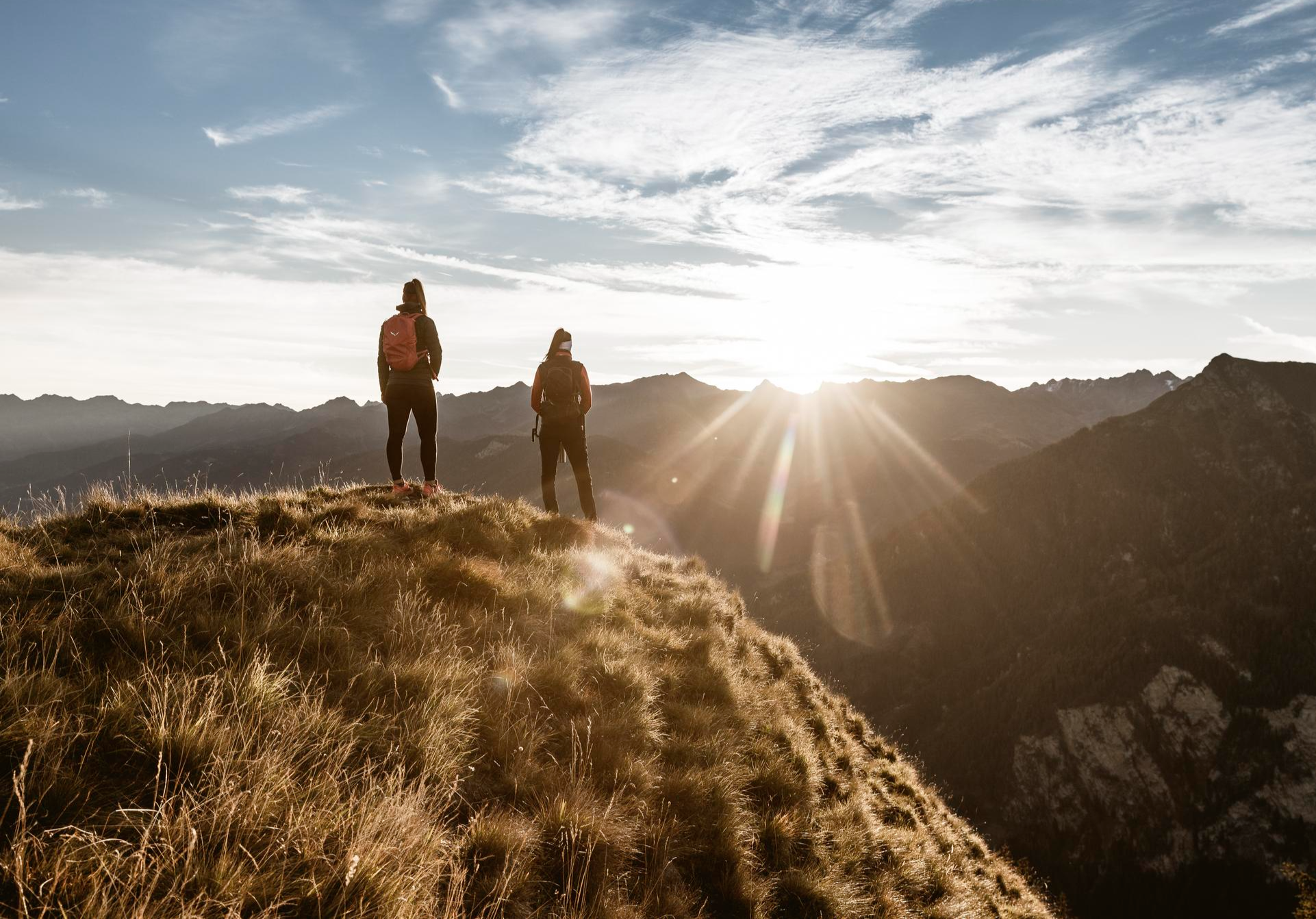
Top hiking tours in the Tyrolean Oberland for your bucket list
11 colourful autumnal walks in Tyrol in the Alps
MTB Trails in Margreider Wald
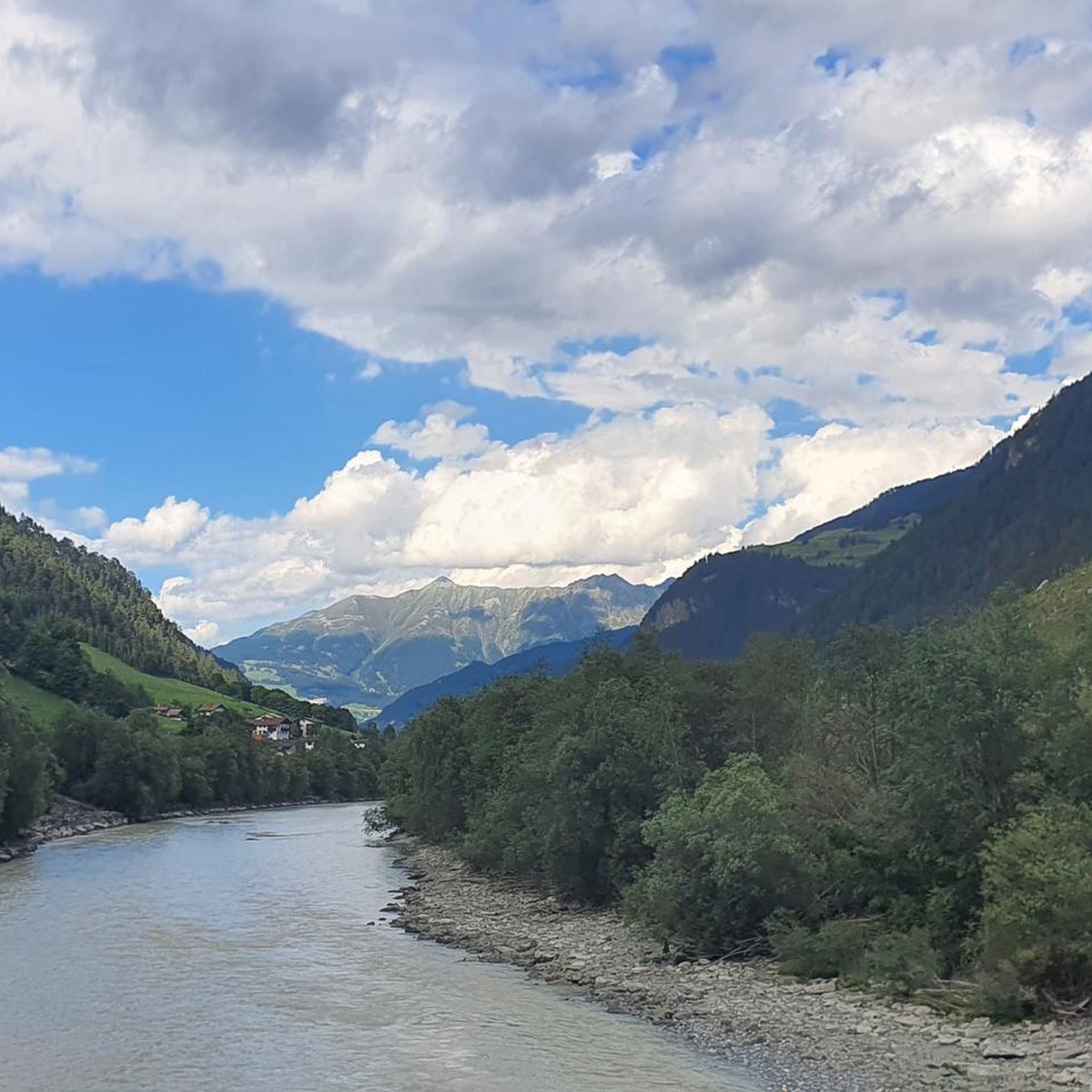
Road Cycling Routes in Margreider Wald
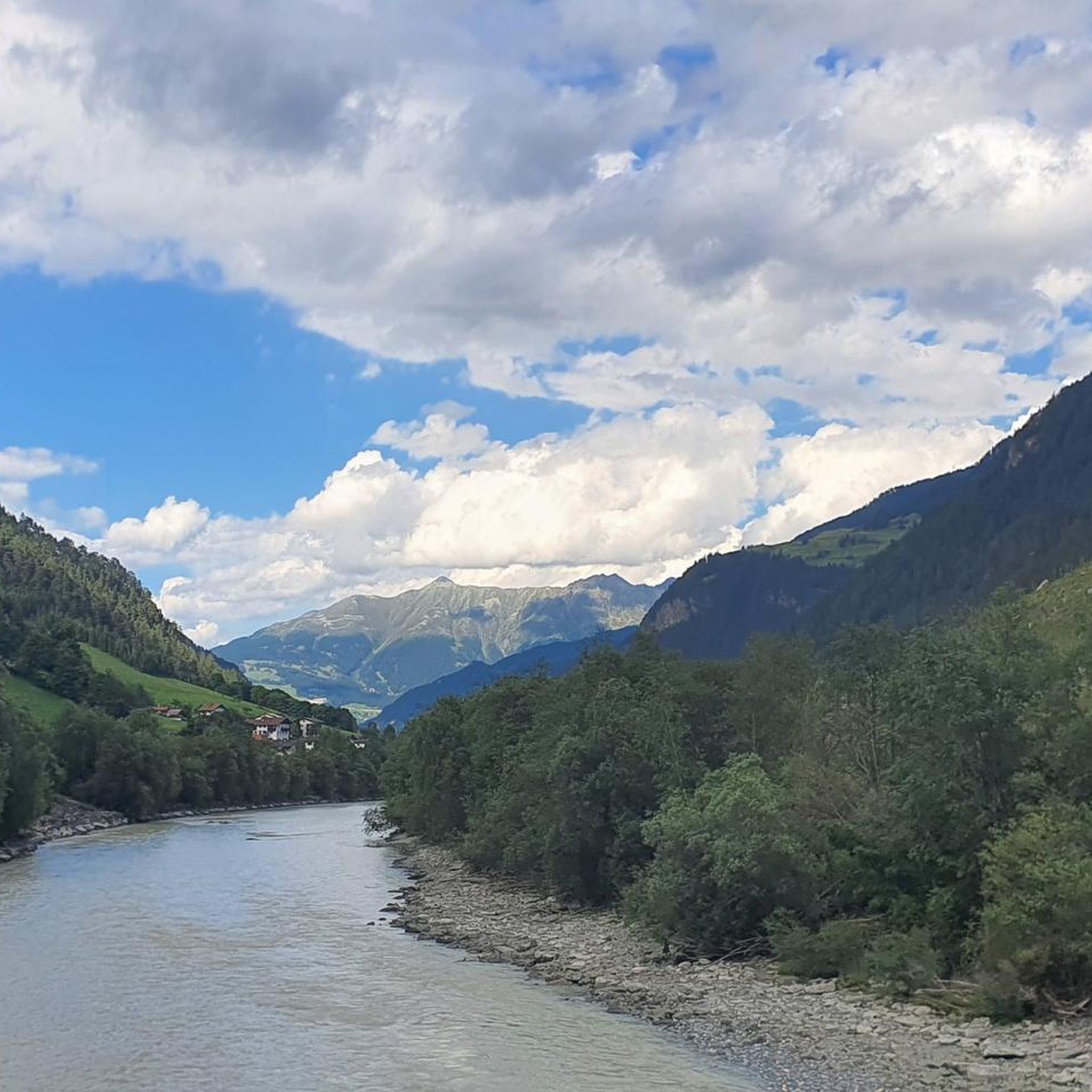
Hiking in Margreider Wald
Gravel biking in Margreider Wald

Mountain Hikes in Margreider Wald
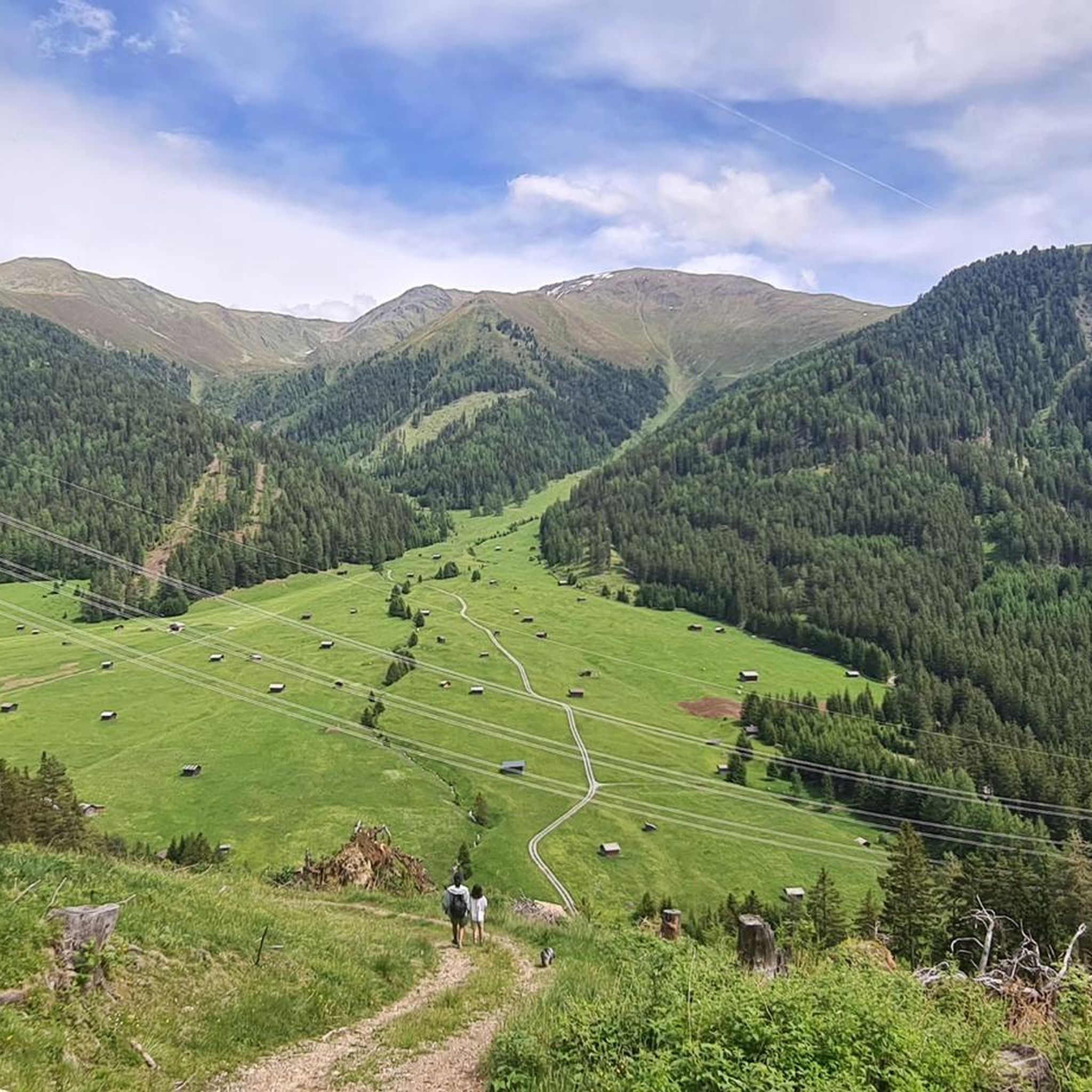
Running Trails in Margreider Wald


Tips from the Community


The rock castle lies at the foot of the Samnaun group and towers on a vertical slate rock high above the Oberinntal. The residential tower was built in the early Middle Ages and first mentioned in documents in 1239.
0
0

A superb inn run by several generations. Truly classy.
1
0

Great trails of all difficulty levels in a beautiful landscape.
0
0


Great café and bike shop in one (including a selection of cakes and pastries 😉)
0
0
Frequently Asked Questions
How many touring cycling routes are available in Margreider Wald?
Margreider Wald offers a diverse selection of over 75 touring cycling routes. These routes cater to various skill levels, with 11 easy, 23 moderate, and 43 difficult options available.
Are there touring cycling routes suitable for beginners in Margreider Wald?
Yes, Margreider Wald features 11 easy touring cycling routes, perfect for beginners or those seeking a relaxed ride. These routes typically have less elevation gain and are shorter in distance, allowing for an enjoyable introduction to the region's landscapes.
What are some challenging touring cycling routes in Margreider Wald for experienced riders?
For experienced touring cyclists seeking a challenge, Margreider Wald offers 43 difficult routes. An example is the View into the Kaunertal – Lader Pond loop from Birkach, which covers 25.7 miles (41.3 km) with significant elevation gain, traversing varied forested and open terrain.
Are there any circular touring cycling routes in Margreider Wald?
Many of the touring cycling routes in Margreider Wald are designed as loops, allowing you to start and finish at the same point. For instance, the Tösner Inn Bridge – View of Pfunds loop from Pfunds is a popular 17.0 miles (27.3 km) circular route offering views of the Inn River.
What is the best time of year for touring cycling in Margreider Wald?
The best time for touring cycling in Margreider Wald is generally from late spring to early autumn (May to October). During these months, the weather is typically mild, and the trails are clear, offering ideal conditions to enjoy the region's dense forests and river valleys. Always check local weather forecasts before heading out.
What kind of terrain can I expect on touring cycling routes in Margreider Wald?
The terrain in Margreider Wald is characterized by dense forests and rolling hills. Routes often follow river valleys, such as the Inn River, and include ascents to scenic viewpoints. You can expect a mix of paved roads suitable for touring bikes and some sections with moderate to significant climbs, providing engaging challenges and rewarding vistas.
Are there any family-friendly touring cycling options in Margreider Wald?
While many routes involve elevation, there are easier options suitable for families, particularly those with older children or using e-bikes. Look for the 11 easy-rated routes, which tend to be shorter and have less demanding climbs, often following flatter river sections. Always check the route details for specific elevation and distance to ensure it matches your family's ability.
What are some interesting places to explore along the touring cycling routes in Margreider Wald?
Along the touring cycling routes, you can discover several natural and cultural highlights. Consider visiting the dramatic Radurschl Gorge, exploring the unique landscape of the Pfundser Tschey Valley, or riding along the scenic Blue Inn River. The Via Claudia Augusta cycling route also passes through the area, offering historical context.
What do other touring cyclists enjoy most about Margreider Wald?
The touring cycling routes in Margreider Wald are highly rated by the komoot community, with an average score of 4.7 stars from over 2,000 reviews. Cyclists frequently praise the region's diverse landscapes, the challenging yet rewarding climbs, and the well-maintained paths that lead through dense woodlands and offer stunning views of river valleys.
Are there any long-distance touring cycling routes in Margreider Wald?
Yes, Margreider Wald offers several longer routes for those looking for extended rides. An example is the Tösner Inn Bridge – View of Pfunds loop from Losner, which is 32.1 miles (51.7 km) long and leads through forested valleys and over hills, typically taking around 5 hours 29 minutes to complete.
Is public transport available to access touring cycling routes in Margreider Wald?
Public transport options, such as regional buses, serve various villages and towns within and around Margreider Wald. Many of these services allow for bicycle transport, though it's advisable to check schedules and bike capacity in advance, especially during peak season. This can be a convenient way to reach starting points or return from longer routes.
Where can I find parking for touring cycling routes in Margreider Wald?
Parking is generally available in the villages and towns that serve as common starting points for touring cycling routes in Margreider Wald. Look for designated parking areas near trailheads or in village centers. Some popular routes, like those starting near Pfunds, will have clear parking facilities. Always check for any local parking regulations or fees.
Most popular routes in Margreider Wald
Most popular attractions in Margreider Wald

Get inspired with the komoot mobile app


Explore more
Browse the best Cycling routes in other regions.
