The best walks and hikes in Margreider Wald
4.6
(7518)
41,384
hikers
15
hikes
Hiking in Margreider Wald offers a distinctive experience through its sub-Mediterranean slope forest ecosystem. This region is characterized by diverse flora, including Manna ash and hop hornbeam, alongside older pines and beeches. Rocky formations and waterways like the Fenner stream add to the varied terrain, while trails often lead through or alongside vineyards.
Best hiking trails in Margreider Wald
- The most popular hiking route is Platzertal mine, a 11.5 miles (18.5 km) trail that takes 6 hours 6 minutes…
Last updated: July 7, 2026
4.8
(12)
33
hikers
18.5km
06:06
890m
890m
Hard hike. Very good fitness required. Easily-accessible paths. Suitable for all skill levels.
4.8
(65)
332
hikers
Moderate hike. Good fitness required. Easily-accessible paths. Suitable for all skill levels.

Sign up for free
4.8
(19)
64
hikers
9.66km
03:20
550m
550m
Moderate hike. Good fitness required. Easily-accessible paths. Suitable for all skill levels.
4.5
(11)
89
hikers
8.43km
03:03
530m
530m
Moderate hike. Good fitness required. Easily-accessible paths. Suitable for all skill levels.
4.5
(4)
22
hikers
5.60km
02:30
530m
530m
Moderate hike. Good fitness required. Easily-accessible paths. Suitable for all skill levels.
Get access to more routes and recommendations from other explorers.
Sign up for free
Already have an account?
Our route recommendations are based on thousands of hikes, rides, and runs completed by other people on komoot.
Start today with a free account
Your next adventure awaits.
Login or Signup
Popular around Margreider Wald
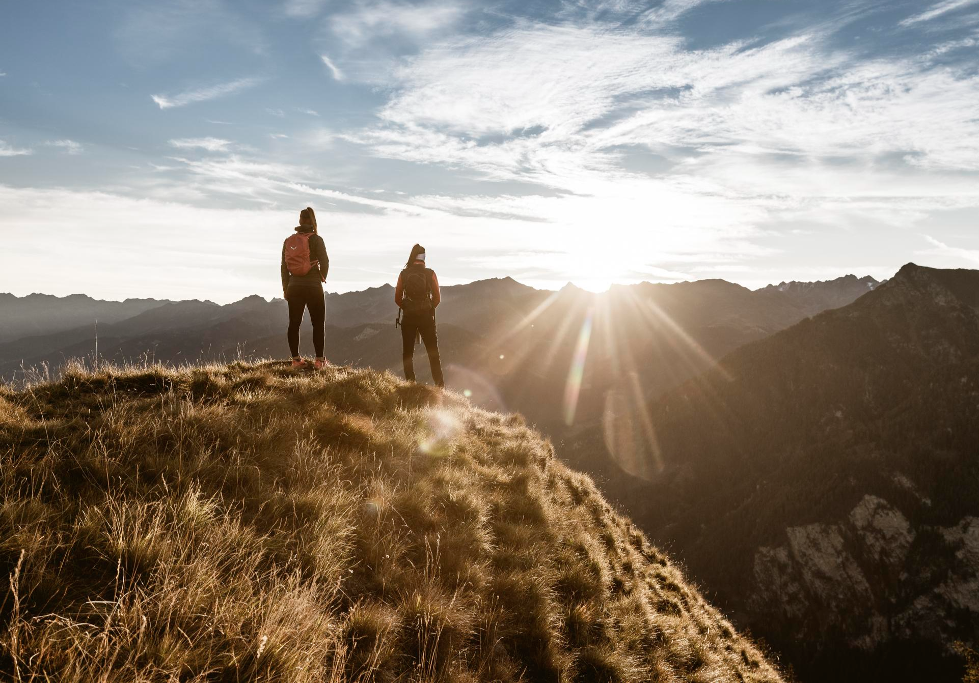
Top hiking tours in the Tyrolean Oberland for your bucket list
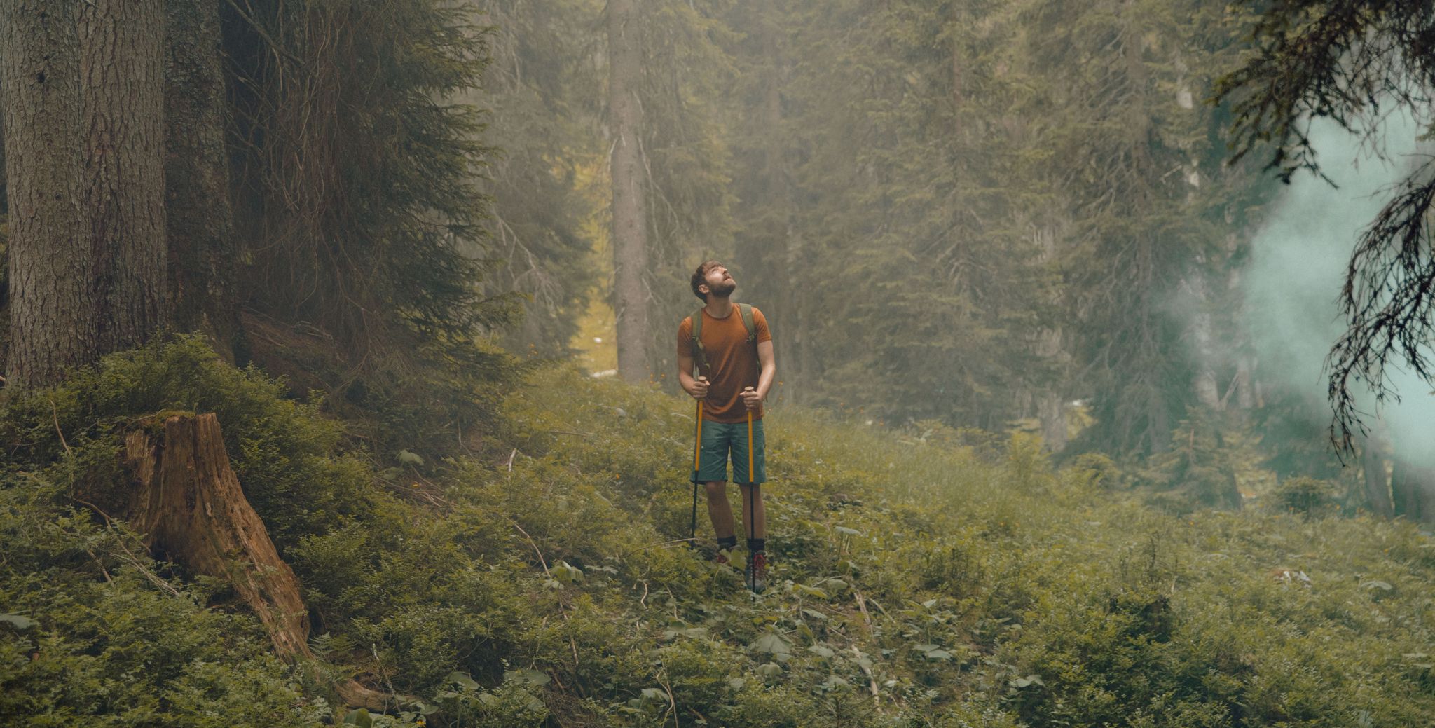
11 colourful autumnal walks in Tyrol in the Alps
Cycling in Margreider Wald
MTB Trails in Margreider Wald
Road Cycling Routes in Margreider Wald
Gravel biking in Margreider Wald

Mountain Hikes in Margreider Wald
Running Trails in Margreider Wald


Tips from the Community

Picturesquely beautiful
0
0
Great location and a fantastic hike there
0
0

Halfway from the valley entrance to the end, there's a good place to stop for a rest. You should definitely take a look inside—a beautiful chapel. Behind the chapel is a water source, which is especially welcome in warm weather.
0
0
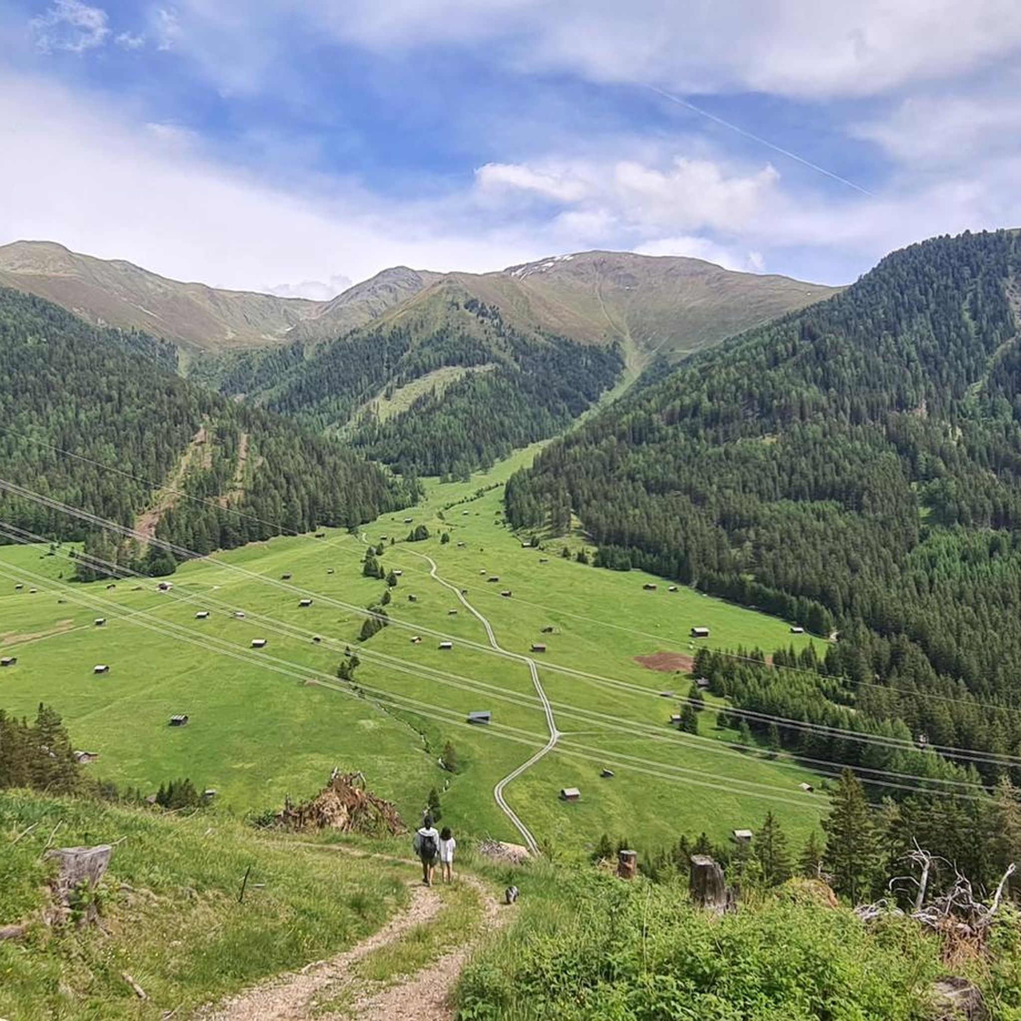
A beautiful and tranquil valley, perfect for enjoying in peace and quiet. Until the haymaking season, the view of the high alpine meadows is simply unforgettable. The hiking bus from Pfunds makes it a perfect start to a beautiful hike.
0
0

The former mine was once one of the highest mines in Europe. Lead, zinc, and copper ores were mined here.
0
0

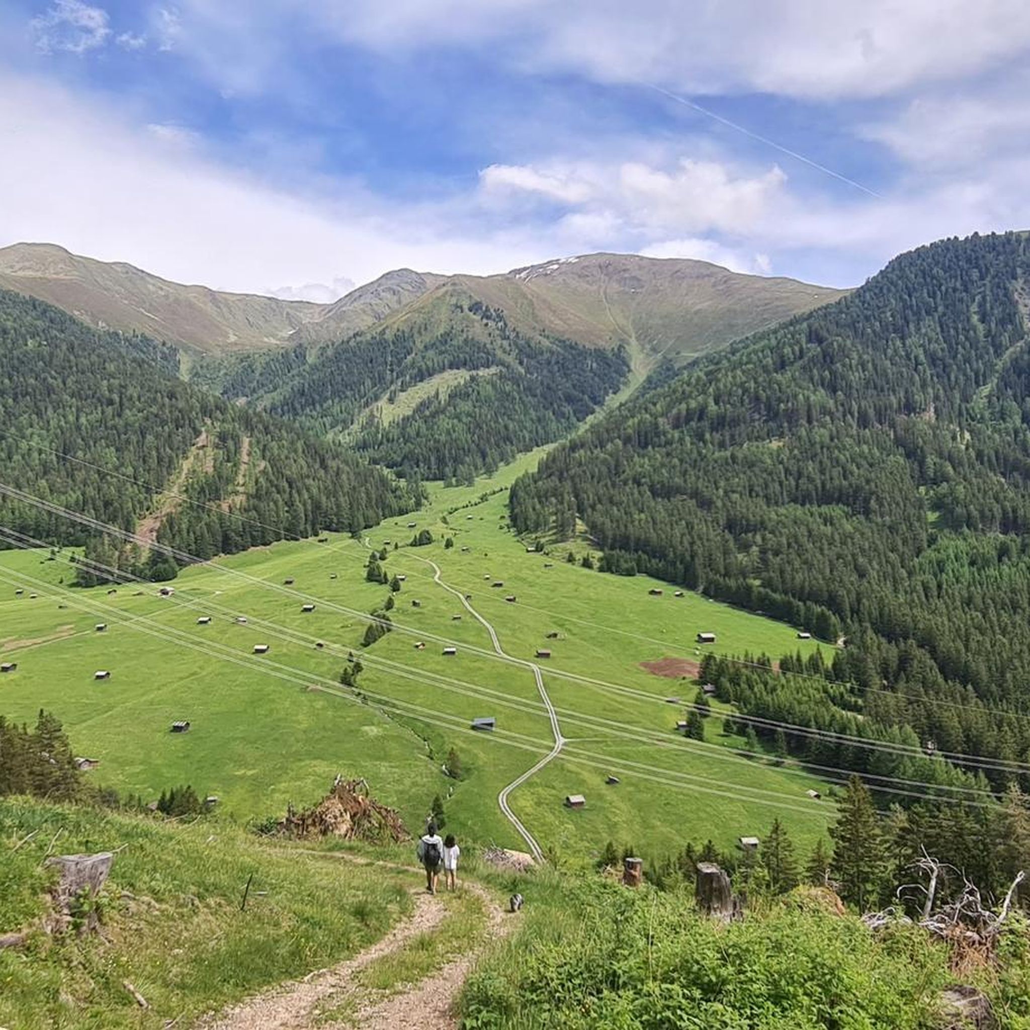
Beautiful view of the small hay huts and the valley
0
0

Beautiful area with a beautiful view
2
0

A bench invites you to take a break.
0
0
Frequently Asked Questions
What kind of unique natural features can I expect to see while hiking in Margreider Wald?
Margreider Wald is renowned for its unique sub-Mediterranean slope forest ecosystem, featuring diverse flora like Manna ash, downy oak, and even rare yew trees. You'll also encounter rocky formations, and the dramatic Fenner stream emerging from dark rock walls. Many trails lead through or alongside picturesque vineyards, especially around Kurtatsch.
Are there hiking trails suitable for beginners or those looking for an easier walk?
Yes, Margreider Wald offers a variety of trails for different skill levels. While many routes are moderate, there are at least 2 easy trails available. These typically feature less elevation gain and shorter distances, allowing for a more relaxed experience amidst the unique forest and vineyard landscapes.
What is the best time of year to go hiking in Margreider Wald?
The region is particularly beautiful in late autumn when the vineyards bordering the forest turn a 'golden dream' hue. However, the sub-Mediterranean climate generally makes for pleasant hiking conditions throughout spring, summer, and early autumn. The diverse flora and unique forest ecosystem offer something to appreciate in every season.
Are there any circular hiking routes in Margreider Wald?
Yes, several routes in Margreider Wald are designed as loops, offering varied scenery without retracing your steps. For example, the Pfundser Tschey High Valley – Chapel of Our Lady of the Snows loop from Pfundser Frudiger is a moderate 11.5 km option, and the Gschnair Alm loop from Pfundser Frudiger covers 9.7 km through diverse flora.
What do other hikers say about the trails in Margreider Wald?
The hiking trails in Margreider Wald are highly rated by the komoot community, with an average score of 4.6 stars from over 3,800 reviews. Hikers often praise the unique sub-Mediterranean forest, the scenic vineyard views, and the well-maintained network of paths that cater to various abilities.
Are there any notable landmarks or viewpoints along the hiking trails?
Yes, hikers can discover several interesting points. The Pfundser Tschey Valley offers picturesque views, and the Frudiger Summit provides expansive panoramas. You might also encounter the dramatic Radurschl Gorge or sections along the Blue Inn River, adding to the scenic diversity.
How many hiking trails are available in Margreider Wald?
There are 15 distinct hiking routes documented in Margreider Wald, ranging from easy strolls to more challenging ascents. This network provides ample opportunities to explore the region's unique landscapes.
Are there any longer or more challenging hikes for experienced hikers?
For experienced hikers seeking a challenge, Margreider Wald offers several difficult routes. The Platzertal mine trail, for instance, is a demanding 18.5 km route that takes over 6 hours to complete and traverses varied, rocky terrain. Another challenging option is the Gschnair Alm – Pfundser Tschey loop from Pfundser Frudiger, covering 12.7 km with significant elevation changes.
What kind of terrain can I expect on the hiking trails?
The terrain in Margreider Wald is quite varied. You'll find paths winding through light sub-Mediterranean slope forests, alongside vineyards, and across rocky sections. The presence of the Fenner stream also adds to the natural diversity, creating an archaic impression in parts of the landscape.
Is Margreider Wald suitable for family hikes?
While specific family-friendly routes are not highlighted, the presence of easy and moderate trails suggests that families can find suitable options. Look for shorter, less strenuous routes that allow children to enjoy the unique forest environment and perhaps the vineyard scenery without excessive challenge.
Are there options for public transport to access hiking trails in Margreider Wald?
While specific public transport details for trailheads are not provided, the region is part of South Tyrol, which generally has a good public transport network. It's advisable to check local bus schedules to Margreid or Kurtatsch, as some routes might be accessible from these villages.
Can I find parking near the hiking trailheads in Margreider Wald?
Parking availability can vary by trailhead. Generally, villages like Margreid and Kurtatsch, which serve as starting points for many hikes, offer parking facilities. It's recommended to check specific route descriptions on komoot for details on parking at individual trailheads.
Most popular routes in Margreider Wald
Most popular attractions in Margreider Wald

Get inspired with the komoot mobile app


Explore more
Browse the best Hikes in other regions.
