The best running trails in Nerang National Park
4.9
(10)
1,837
runners
31
runs
Jogging in Nerang National Park offers a diverse natural environment with an extensive network of trails. The park features dry sclerophyll and open eucalypt forests, along with lush valleys, creeks, and rivers. Its terrain includes a mix of small and large hills, providing varied gradients for running. The park's elevation is approximately 100 meters above sea level, with soils ranging from clay and limestone to loam.
Best jogging routes in Nerang National Park
- The most popular jogging route is Running loop from Nerang, a 5.1 miles (8.2 km) trail that takes 1 hour 3 minutes to complete. This moderate route navigates through varied forest landscapes.
- Another top favourite among local runners is Nerang National Park loop from Nerang, a difficult 11.3 miles (18.2 km) path. This challenging route features significant elevation changes through the park's eucalypt forests.
- Local runners also love the North Street Break – Nerang National Park loop from Nerang, a 14.3 miles (23.0 km) trail leading through extensive forest tracks, often completed in about 3 hours 1 minute.
- Jogging in Nerang National Park is defined by dry sclerophyll forests, open eucalypt forests, and varied hills. The network offers options for different ability levels, from moderate runs to more demanding trails.
- The routes in Nerang National Park are highly rated by the komoot community with an average score of 4.7 stars from 8 reviews. More than 2000 runners have used komoot to explore Nerang National Park's varied terrain.
Last updated: July 4, 2026
5.0
(1)
32
runners
18.0km
02:18
500m
500m
Hard run. Very good fitness required. Mostly paved surfaces. Suitable for all skill levels.
5.0
(2)
26
runners
Hard run. Very good fitness required. Mostly paved surfaces. Suitable for all skill levels.

Sign up for free
13
runners
4.06km
00:33
120m
120m
Moderate run. Good fitness required. Mostly paved surfaces. Suitable for all skill levels.
3
runners
6.61km
00:41
50m
50m
Moderate run. Good fitness required. Mostly paved surfaces. Suitable for all skill levels.
3
runners
6.94km
00:43
40m
40m
Moderate run. Good fitness required. Mostly paved surfaces. Suitable for all skill levels.
Get access to more routes and recommendations from other explorers.
Sign up for free
Already have an account?
Our route recommendations are based on thousands of hikes, rides, and runs completed by other people on komoot.
Start today with a free account
Your next adventure awaits.
Login or Signup
Popular around Nerang National Park

Tips from the Community

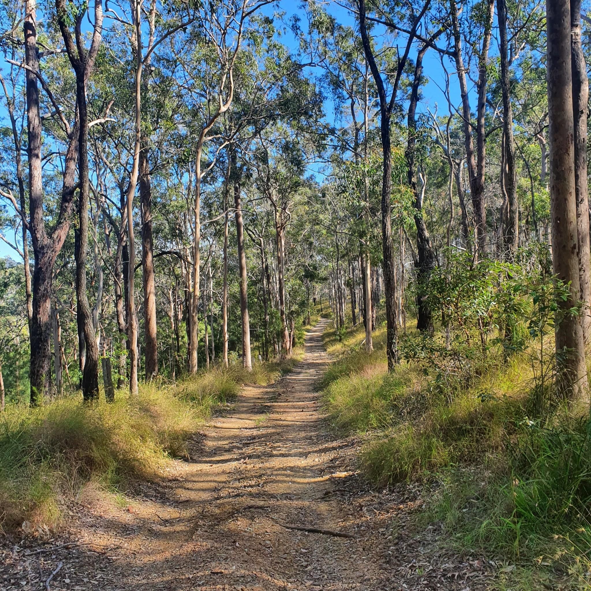
Centre Road Firetrail is a wide dirt and gravel route linking several sections of the park’s trail network. The firetrail moves through open eucalypt forest and rolling terrain, with a mix of gradual climbs and flatter stretches along the ridge lines. It’s shared by walkers, trail runners, mountain bikers, and horse riders, and is generally easy to follow due to its width and clear layout.
0
0
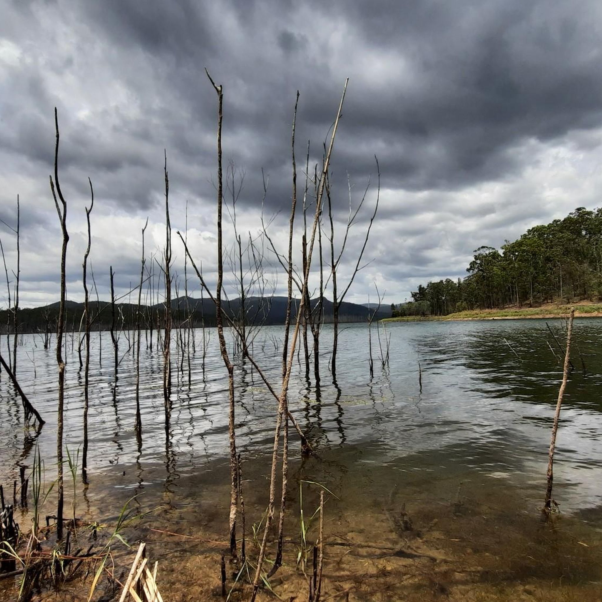
Located in the Gold Coast hinterland, Nerang National Park is made up of open eucalypt forest, dry bushland, and a large network of multi-use trails. The park is widely used for walking, trail running, and mountain biking, with routes ranging from wide fire trails to narrower singletrack. Compared to the nearby rainforest parks, the landscape here is drier and more exposed, with rolling terrain rather than steep climbs.
0
0
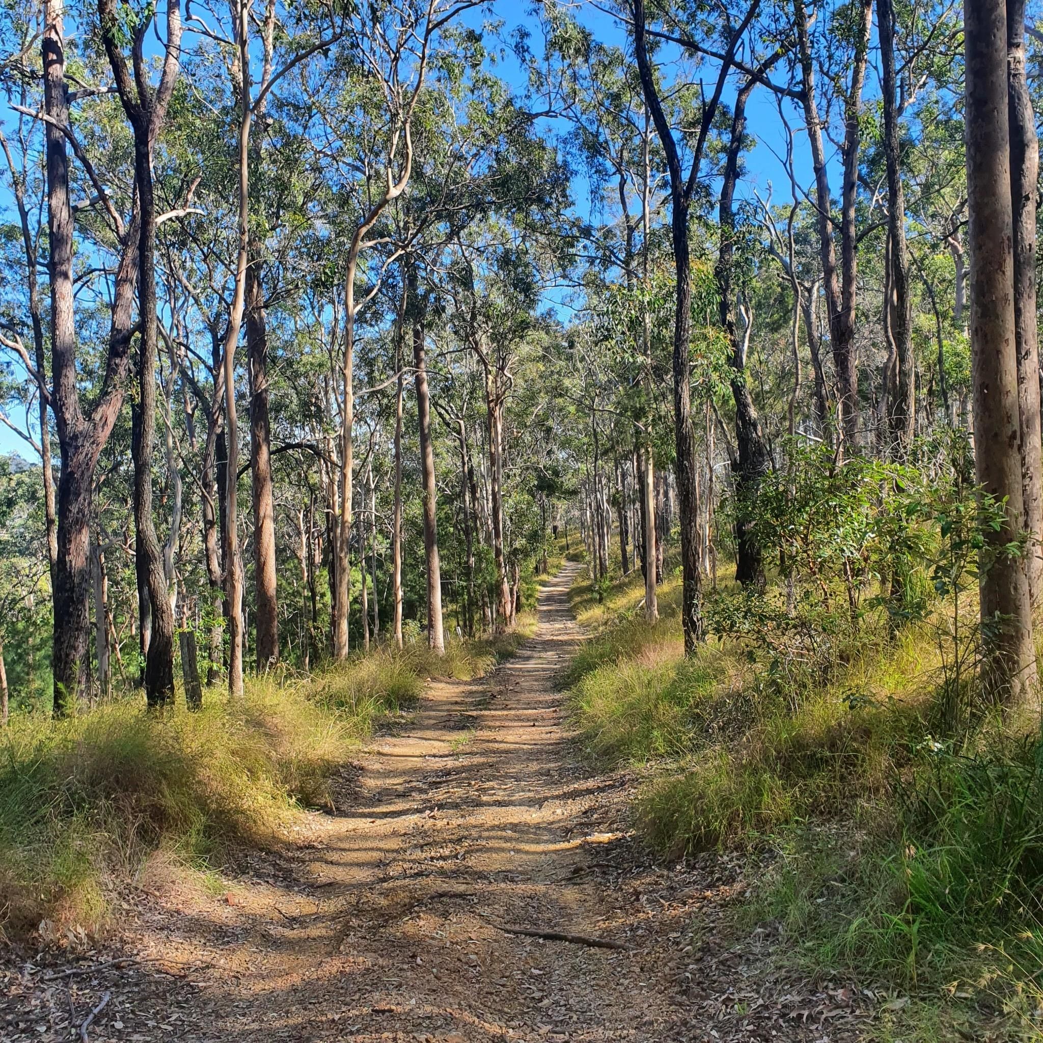
Located within Nerang National Park, this trail follows a network of forest tracks through open eucalypt bushland. The route is mostly wide and well-defined, with a mix of dirt and gravel surfaces underfoot. It’s a shared-use area, so walkers may encounter mountain bikers along parts of the track.
0
0

North Street Break is a shared trail along the park boundary near the North Street access. It links to surrounding loops and connection roads, helping create longer continuous routes through the forest. Like the other breaks, it is primarily a management trail used by walkers, cyclists, and horse riders rather than a purpose-built technical track.
0
0
Nerang National Park protects a large area of open eucalypt forest in Queensland’s Gold Coast hinterland, providing an important refuge for native wildlife close to urban areas. The park is best known for its extensive network of multi-use trails, popular for walking, horse riding and internationally recognised mountain-bike routes developed for the 2018 Commonwealth Games. There are several picnic areas and trailheads for easy access to the peaceful bushland that reflects the park’s distinctive dry forest environment.
0
0
Frequently Asked Questions
How many running trails are available in Nerang National Park?
Nerang National Park offers a comprehensive network of over 40 running trails. These routes cater to various fitness levels, ranging from easy strolls to demanding long-distance runs with significant elevation changes.
Are there easy jogging routes suitable for beginners in Nerang National Park?
Yes, the park features several easy running options. There are 5 trails specifically rated as easy, providing a gentle introduction to the park's diverse landscapes. Many paths are either paved or easily accessible, making them welcoming for joggers of varying abilities.
Where can I find more challenging running trails in Nerang National Park?
For those seeking a challenge, Nerang National Park has 6 difficult running trails. A notable option is the Nerang National Park loop from Nerang, an 18.2 km path with significant elevation changes through eucalypt forests. Another demanding route is the North Street Break – Nerang National Park loop from Nerang, which covers 23.0 km through extensive forest tracks.
Are there circular running trails available in Nerang National Park?
Yes, many of the running routes in Nerang National Park are circular, allowing you to start and finish at the same point. Examples include the popular Running loop from Nerang and the more challenging Nerang National Park loop from Nerang.
Can I bring my dog on the running trails in Nerang National Park?
As a national park, dogs are generally not permitted on the trails within Nerang National Park to protect the native wildlife and natural environment. It's always best to check the official Queensland Parks and Wildlife Service website for the most current regulations: parks.qld.gov.au/parks/nerang.
What kind of wildlife can I expect to see while running in Nerang National Park?
Joggers in Nerang National Park have excellent opportunities to observe diverse native wildlife. You might spot kangaroos, wallabies, koalas, possums, echidnas, and over 220 species of birds. The wide fire trails often provide good vantage points for wildlife spotting.
Are there any scenic viewpoints or natural features to look out for on the running routes?
Absolutely! The park offers breathtaking views of surrounding rivers, mountains, and even distant beaches from various trails. You'll also encounter diverse landscapes, including dry sclerophyll and open eucalypt forests, lush valleys, creeks, and a critically endangered subtropical lowland rainforest patch in the park's center.
What do other runners enjoy most about jogging in Nerang National Park?
The running trails in Nerang National Park are highly rated by the komoot community, with an average score of 4.7 stars from 8 reviews. Runners often praise the diverse natural environment, the extensive network of trails catering to all levels, and the opportunity to experience a serene natural escape close to the Gold Coast.
Is Nerang National Park accessible by public transport for runners?
While Nerang National Park is only 12 kilometers from Surfers Paradise, direct public transport access to the trailheads can be limited. It's advisable to check local bus routes or consider ride-sharing services to reach the park's entry points. Many routes, like those starting 'from Nerang', imply access from the nearby town.
Are there any family-friendly running or walking options in the area?
Yes, for families looking for a more relaxed experience, the Parkwood Family Park loop from Arundel offers a moderate 6.4 km route. While not strictly within the national park, it's a nearby option that provides a pleasant, accessible path suitable for families.
What are the typical terrain and elevation changes like on the running trails?
The terrain in Nerang National Park is varied, featuring dry sclerophyll forests, open eucalypt forests, and lush valleys. The park's elevation is approximately 100 meters above sea level, with trails including a mix of small and large hills, providing diverse gradients. Soils range from clay and limestone to more aerated loam near water bodies.
What is the best time of day or year to go running in Nerang National Park?
The Gold Coast region generally has a subtropical climate. Early mornings or late afternoons are often ideal for running to avoid the midday heat, especially during summer. Spring and autumn offer milder temperatures, making them excellent seasons for exploring the trails. Always check local weather forecasts before heading out.
Most popular routes in Nerang National Park

Get inspired with the komoot mobile app


Explore more
Browse the best Running Trails & Routes in other regions.
