The best cycling routes in Nerang National Park
4.0
(41)
877
riders
33
rides
Touring cycling in Nerang National Park offers routes through diverse landscapes in the Gold Coast hinterland. The park features dry rainforests, open eucalypt forests, and distinctive casuarina groves. The terrain includes small to large hills, crisscrossed by creeks and rivers, providing varied surfaces for touring bikes. Routes often follow creek lines and traverse steep gullies, showcasing varied vegetation.
Best touring cycling routes in Nerang National Park
- The most popular touring cycling route is Nerang State Forest loop from Nerang, a 6.4 miles (10.2 km) trail that takes about 56 minutes to complete. This route traverses varied forest landscapes within the park.
- Another top favourite among local touring cyclists is Terminator Summit loop from Nerang, a moderate 9.2 miles (14.8 km) path. This route offers a mix of terrain and includes sections with elevation gain.
- Local touring cyclists also love the Surfers Paradise Beach – Gold Coast Meter Maids Mural loop from Parkwood, an 18.9 miles (30.5 km) trail leading through urban and natural areas, often completed in about 1 hour 49 minutes.
- Touring cycling in Nerang National Park is defined by dry rainforests, open eucalypt forests, and creek lines. The network offers options for different ability levels, from moderate to difficult.
- The routes in Nerang National Park are highly rated by the komoot community with an average score of 4.1 stars from over 25 reviews. More than 700 touring cyclists have used komoot to explore Nerang National Park's varied terrain.
Last updated: July 4, 2026
4
riders
15.2km
01:29
300m
300m
Moderate bike ride. Good fitness required. Mostly paved surfaces. Suitable for all skill levels.
3.0
(1)
65
riders
25.2km
02:26
450m
450m
Hard bike ride. Very good fitness required. Mostly paved surfaces. Suitable for all skill levels.

Sign up for free
9
riders
30.4km
01:49
160m
160m
Moderate bike ride. Good fitness required. Mostly paved surfaces. Suitable for all skill levels.
3.0
(2)
17
riders
67.3km
03:50
170m
170m
Moderate bike ride. Good fitness required. Mostly paved surfaces. Suitable for all skill levels.
5.0
(1)
9
riders
44.6km
02:38
160m
160m
Moderate bike ride. Good fitness required. Mostly paved surfaces. Suitable for all skill levels.
Get access to more routes and recommendations from other explorers.
Sign up for free
Already have an account?
Our route recommendations are based on thousands of hikes, rides, and runs completed by other people on komoot.
Start today with a free account
Your next adventure awaits.
Login or Signup

Tips from the Community

Anzac Park sits along the Broadwater with open grass, large shade trees, and direct access to the shoreline. The park includes picnic areas, a playground, and a memorial space, with wide views across the water toward South Stradbroke Island.
0
0
North Kirra Beach has a more open, windswept feel, with long stretches of sand and fewer crowds compared to the busier parts of the Gold Coast. Behind the beach, park areas are set up with barbecues, picnic spots, and playgrounds, along with toilets and showers. It’s patrolled during peak periods, so it’s worth sticking between the flags if you’re heading in for a swim.
0
0

Stretching along 36 kilometers of shoreline the Oceanway connects dozens of beaches, parks, viewpoints, and sand dunes. The shared use path invites those on foot and wheels to enjoy all that the Gold Coast has to offer at their own pace.
0
0
This stretch of the Gold Coast Oceanway follows the coastline from Point Danger to Currumbin Alley, linking some of the southern Gold Coast’s best beaches and viewpoints. The route is mostly level and easy to follow, running along paved oceanfront paths past Coolangatta, Rainbow Bay, Kirra, and Tugun. Along the way you’ll pass popular surf breaks, beachfront parks, and plenty of spots to stop for a swim or coffee. With constant views of the Pacific and regular sea breezes, it’s an enjoyable coastal walk where you can often spot surfers, dolphins, and migrating whales during the winter months.
0
0

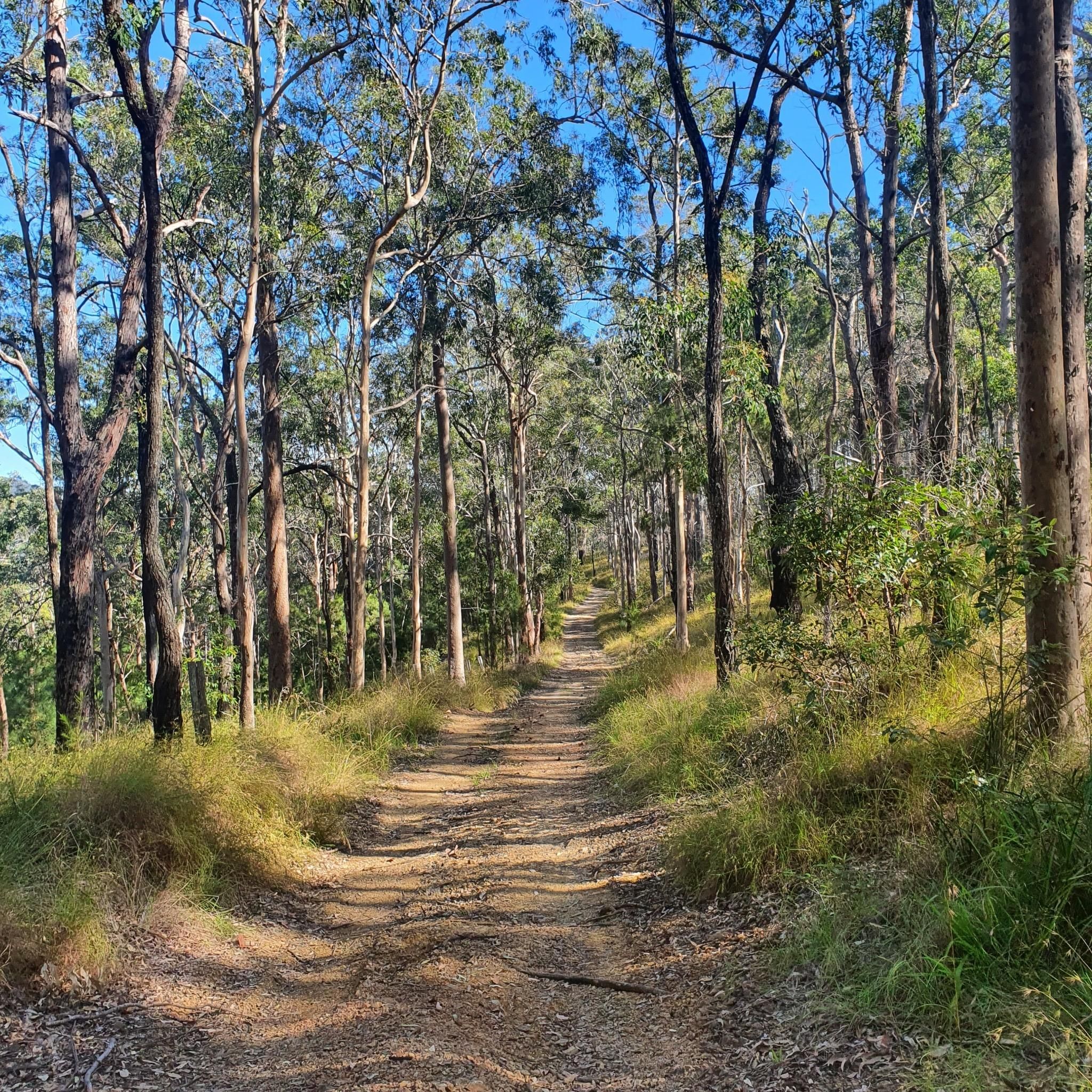
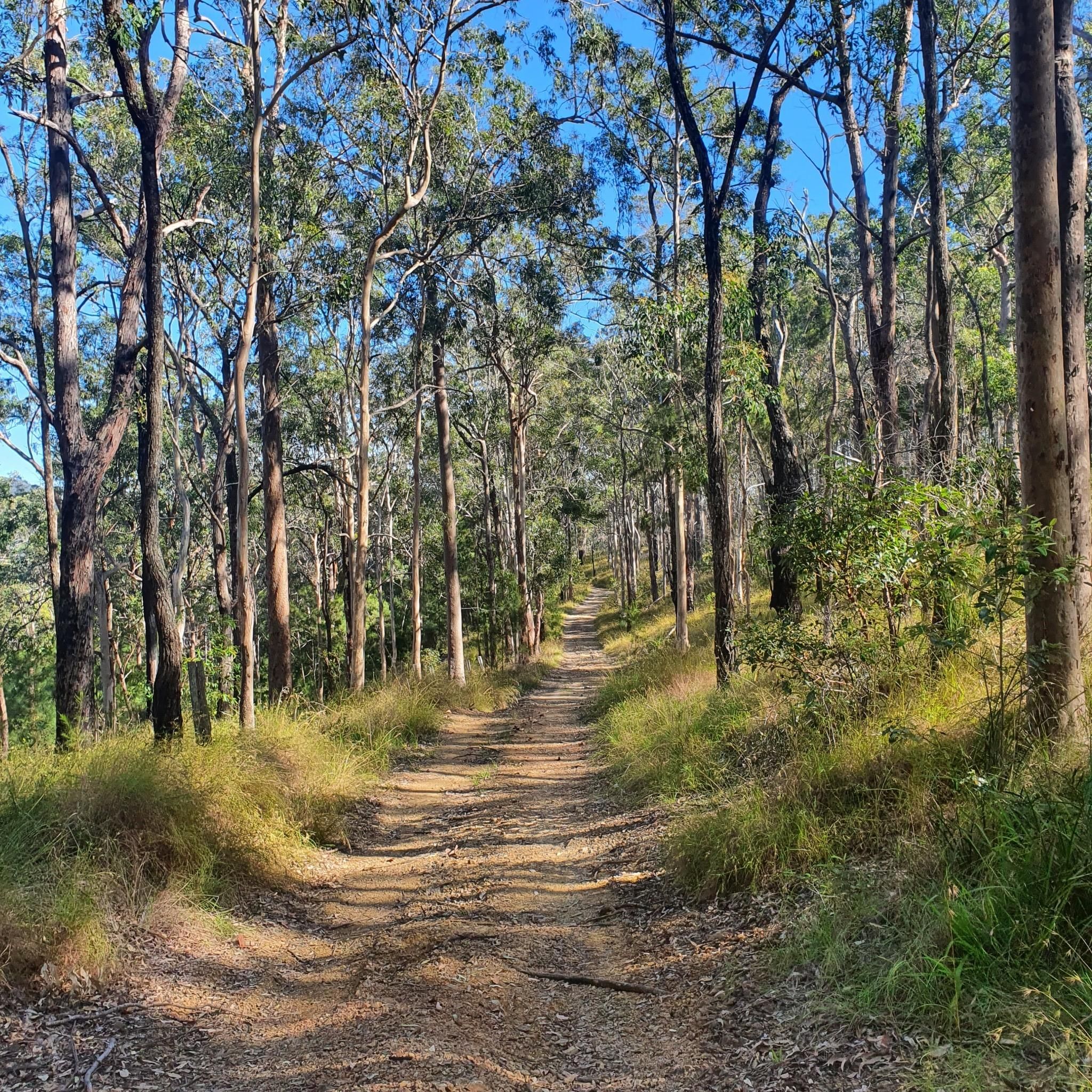
Nerang National Park protects a large area of open eucalypt forest in Queensland’s Gold Coast hinterland, providing an important refuge for native wildlife close to urban areas. The park is best known for its extensive network of multi-use trails, popular for walking, horse riding and internationally recognised mountain-bike routes developed for the 2018 Commonwealth Games. There are several picnic areas and trailheads for easy access to the peaceful bushland that reflects the park’s distinctive dry forest environment.
0
0
Yarrayne Break is a shared management trail that runs through open eucalypt forest in Nerang National Park, linking several mountain-bike loops and fire roads. As a connector route, it has gentler gradients compared to most of the nearby singletrack sections. The track is accessible to walkers, riders, and horse users, serving as a key multi-use corridor within the park’s trail network.
0
0
The Gold Coast Oceanway is a paved coastal path that runs parallel to the beach, linking suburbs along the shoreline. This section near Surfers Paradise follows the edge of the sand, offering uninterrupted ocean views with the skyline rising behind you. The wide, sealed path is shared by walkers, runners and cyclists, so keep left and stay aware of faster traffic. Shade is limited along exposed stretches, making early morning or late afternoon a more comfortable time to walk.
0
0
Surfers Paradise Beach is a broad stretch of sand that faces directly onto the Coral Sea, with consistent surf and wide coastal views. The beach runs alongside the high-rise skyline, creating one of the Gold Coast’s most recognisable scenes. Swimming is safest between the red and yellow flags where lifeguards patrol. Conditions can change with swell and wind, and rips are present at times.
0
0
Frequently Asked Questions
How many touring cycling routes are available in Nerang National Park?
Komoot offers a selection of over 45 touring cycling routes within Nerang National Park. These routes cater to various skill levels, with options ranging from moderate to difficult.
What kind of terrain can I expect on touring cycling routes in Nerang National Park?
The park's touring cycling routes traverse diverse landscapes, including dry rainforests, open eucalypt forests, and distinctive casuarina groves. You'll often find yourself cycling along creek lines and through steep gullies, showcasing varied vegetation. While primarily known for mountain biking, some routes, like The Flying Bean Cafe loop from Nerang, offer mostly paved surfaces suitable for touring bikes, while others may include unpaved sections.
Are there any family-friendly touring cycling options in Nerang National Park?
While many trails in Nerang National Park are designed for mountain biking, some routes may be suitable for families depending on their experience and bike type. The Region Research mentions the Casuarina Grove circuit as an easy, family-friendly option within the park, though specific touring cycling routes explicitly labeled 'family-friendly' are not detailed in the provided komoot data. Generally, routes with mostly paved surfaces and lower elevation gain would be more suitable.
What are the typical elevation gains on touring cycling routes in Nerang National Park?
Elevation gains vary significantly across the routes. For example, the Terminator Summit loop from Nerang involves an elevation gain of approximately 275 meters over its 14.8 km distance, making it a moderate challenge. In contrast, longer routes like The Flying Bean Cafe loop from Nerang can feature substantial climbs, with over 1750 meters of elevation gain over 91 km, indicating a difficult rating.
Can I find circular touring cycling routes in Nerang National Park?
Yes, many of the touring cycling routes in Nerang National Park are designed as loops, allowing you to start and finish at the same point. Examples include the popular Nerang State Forest loop from Nerang and the more challenging Terminator Summit loop from Nerang.
What natural features or landmarks can I see while cycling in Nerang National Park?
As you cycle through Nerang National Park, you'll encounter diverse natural features such as dry rainforests, open eucalypt forests, and unique casuarina groves, which are home to glossy black-cockatoos. The trails often follow creek lines and traverse steep gullies, offering scenic views and changes in vegetation. The park also contains a small, significant patch of critically endangered subtropical lowland rainforest and forms the headwaters of the Ramsar-listed Coombabah Lake Conservation Park.
What do other touring cyclists enjoy most about cycling in Nerang National Park?
The touring cycling routes in Nerang National Park are highly rated by the komoot community, with an average score of 4.1 stars from over 25 reviews. Cyclists often praise the diverse forest landscapes, the variety of terrain, and the opportunity to explore both natural and urban areas on longer routes like Surfers Paradise sign – Gold Coast Meter Maids Mural loop from Parkwood.
Is Nerang National Park suitable for dog-friendly cycling?
Generally, national parks in Queensland, including Nerang National Park, have restrictions on pets to protect wildlife. Dogs are typically not permitted on trails within the park. It's always best to check the official Queensland Parks and Wildlife Service website for the most current regulations regarding pets before planning your visit.
Are there any cafes or places to eat near the cycling routes in Nerang National Park?
While the park itself is a natural sanctuary, the surrounding areas, particularly Nerang and Parkwood, offer amenities. One route, The Flying Bean Cafe loop from Nerang, even incorporates a cafe into its name, suggesting nearby options for refreshments. You'll find various cafes and eateries in the towns adjacent to the park.
What is the best time of year to go touring cycling in Nerang National Park?
The Gold Coast region generally experiences a subtropical climate. The cooler, drier months from autumn to spring (roughly April to October) are often considered ideal for outdoor activities like cycling, as temperatures are milder and humidity is lower. Summers can be hot and humid, with a higher chance of rain, which might affect trail conditions.
Is there parking available for cyclists at Nerang National Park?
Yes, Nerang National Park provides designated parking areas for visitors. Access points to the trail network, such as those near the Nerang State Forest section, typically have parking facilities available for cyclists. It's advisable to check specific park maps or local information for the most convenient parking locations depending on your chosen route.
Can I access Nerang National Park by public transport with my bike?
Public transport options to Nerang National Park may be limited, and policies regarding bikes on buses or trains can vary. While Nerang is accessible by public transport, reaching the specific park entrances or trailheads might require a combination of transport modes or a short ride from the nearest stop. It's recommended to check TransLink's website for current public transport routes and bike carriage policies in the Gold Coast area.
Most popular routes in Nerang National Park

Get inspired with the komoot mobile app


Explore more
Browse the best Cycling routes in other regions.
