The best walks and hikes around Glenties Municipal District
4.7
(886)
5,709
hikers
97
hikes
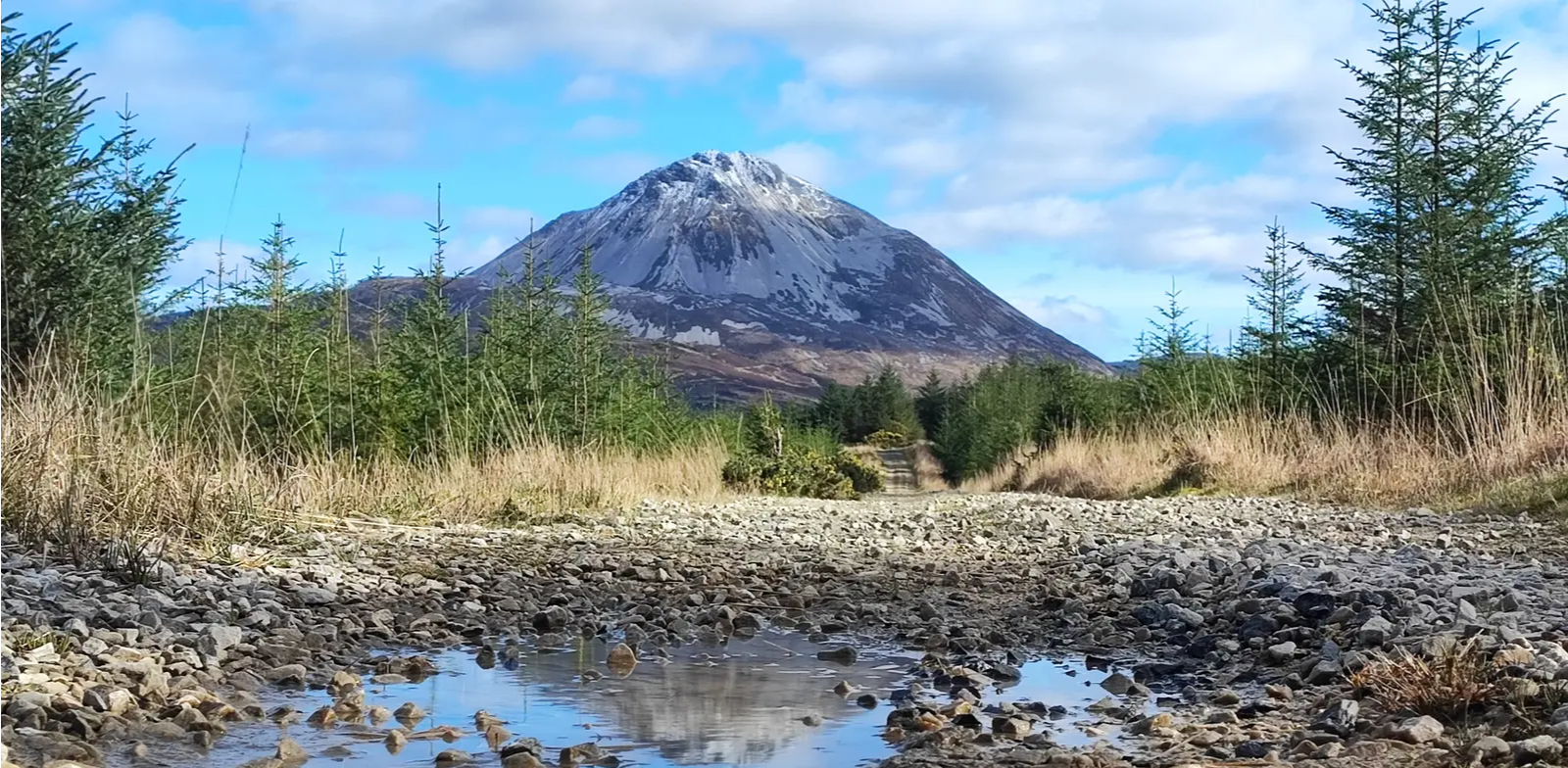
Hiking around Glenties Municipal District offers diverse landscapes, from rugged mountains to expansive forests and dramatic coastlines. The region is characterized by significant natural features, including peaks like Mount Errigal and Muckish Mountain, and extensive woodlands within Glenveagh National Park and Ards Forest Park. Numerous lakes, such as Lough Veagh, and river walks further define the varied terrain.
Best hiking trails around Glenties Municipal District
- The most popular hiking route is Glenveagh Castle along Lough Veagh, an easy 4.5 miles (7.2 km) trail that takes about 1 hour 55 minutes to complete. This route follows the shore of Lough Veagh within Glenveagh National Park.
- Another top favourite among local hikers is Mount Errigal & Mackoght loop, a moderate 3.9 miles (6.2 km) path. This trail offers panoramic views from two prominent peaks.
- Local hikers also love the Glenveagh Castle via the Bridle Path & Derryveagh Mountains, a 10.2 miles (16.4 km) trail leading through mountainous terrain and forest, often completed in about 4 hours 30 minutes.
- Hiking around Glenties Municipal District is defined by rugged mountains, expansive forests, and dramatic coastlines. The network offers options for various ability levels, from easy strolls to challenging mountain climbs.
- The routes in Glenties Municipal District are highly rated by the komoot community with an average score of 4.7 stars from over 490 reviews. More than 3700 hikers have used komoot to explore Glenties Municipal District's varied terrain.
Last updated: July 2, 2026
4.7
(129)
806
hikers
Easy hike. Great for any fitness level. Easily-accessible paths. Suitable for all skill levels.
4.8
(14)
67
hikers
6.23km
03:07
590m
590m
Moderate hike. Good fitness required. Mostly accessible paths. Sure-footedness required.

Sign up for free
4.9
(15)
67
hikers
Moderate hike. Good fitness required. Easily-accessible paths. Suitable for all skill levels.
4.7
(23)
68
hikers
7.00km
02:42
110m
120m
Moderate hike. Good fitness required. Easily-accessible paths. Suitable for all skill levels.
4.8
(19)
90
hikers
Easy hike. Great for any fitness level. Easily-accessible paths. Suitable for all skill levels.
5.0
(4)
67
hikers
3.27km
01:57
350m
350m
Hard hike. Good fitness required. Sure-footedness, sturdy shoes and alpine experience required.
4.6
(8)
38
hikers
13.4km
03:40
220m
210m
Moderate hike. Good fitness required. Easily-accessible paths. Suitable for all skill levels.
3.3
(3)
16
hikers
9.75km
02:49
240m
240m
Moderate hike. Good fitness required. Easily-accessible paths. Suitable for all skill levels.
4.8
(6)
47
hikers
8.88km
02:28
160m
150m
Moderate hike. Good fitness required. Easily-accessible paths. Suitable for all skill levels.
4.8
(4)
53
hikers
3.76km
00:58
10m
10m
Easy hike. Great for any fitness level. Easily-accessible paths. Suitable for all skill levels.
Get access to more routes and recommendations from other explorers.
Sign up for free
Already have an account?
Our route recommendations are based on thousands of hikes, rides, and runs completed by other people on komoot.
Start today with a free account
Your next adventure awaits.
Login or Signup
Popular around Glenties Municipal District
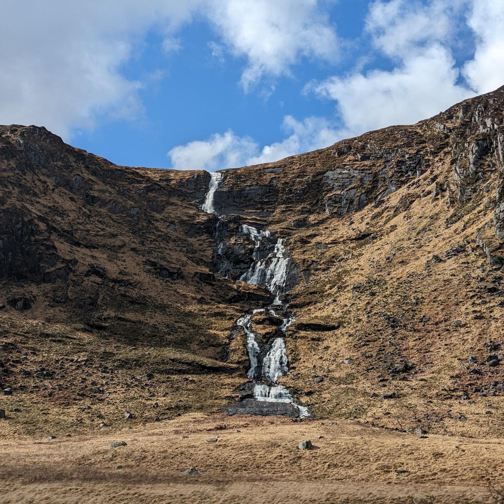
Hiking around Glenveagh National Park
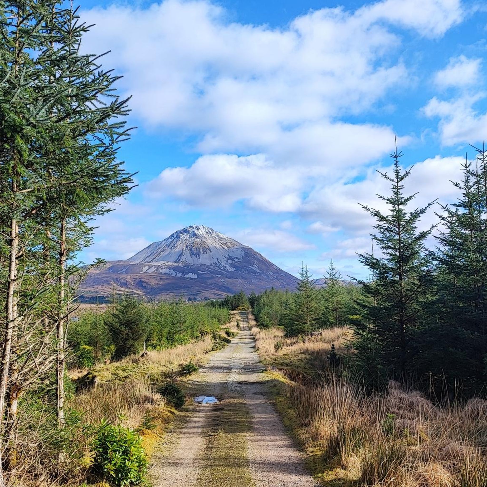
Hiking around Lough Nacung
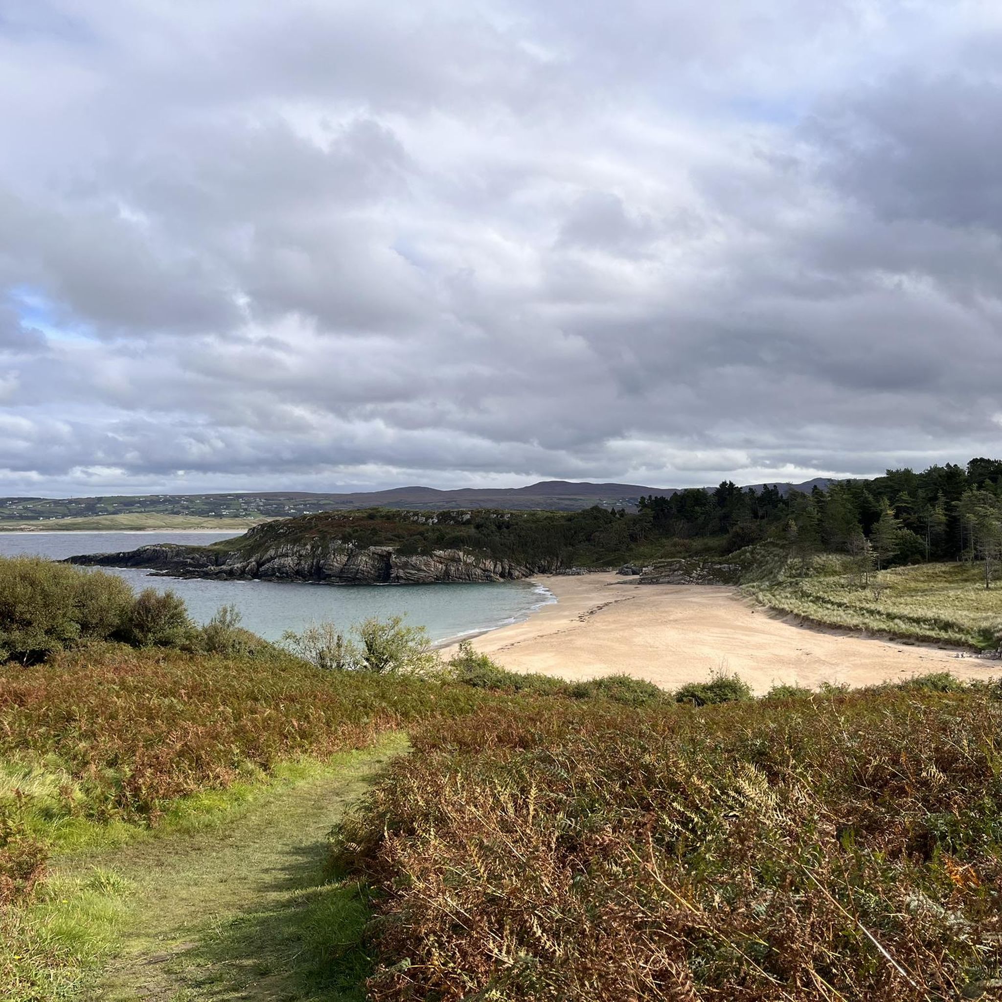
Hiking around Ards Forest
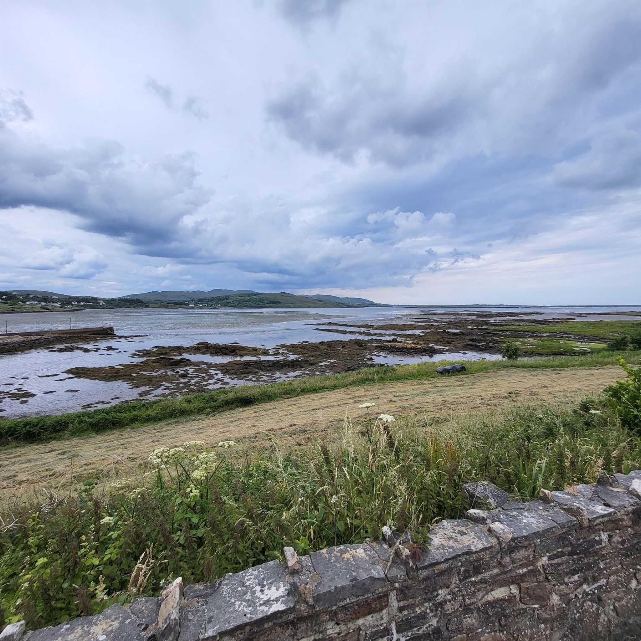
Hiking around Dungloe Lough
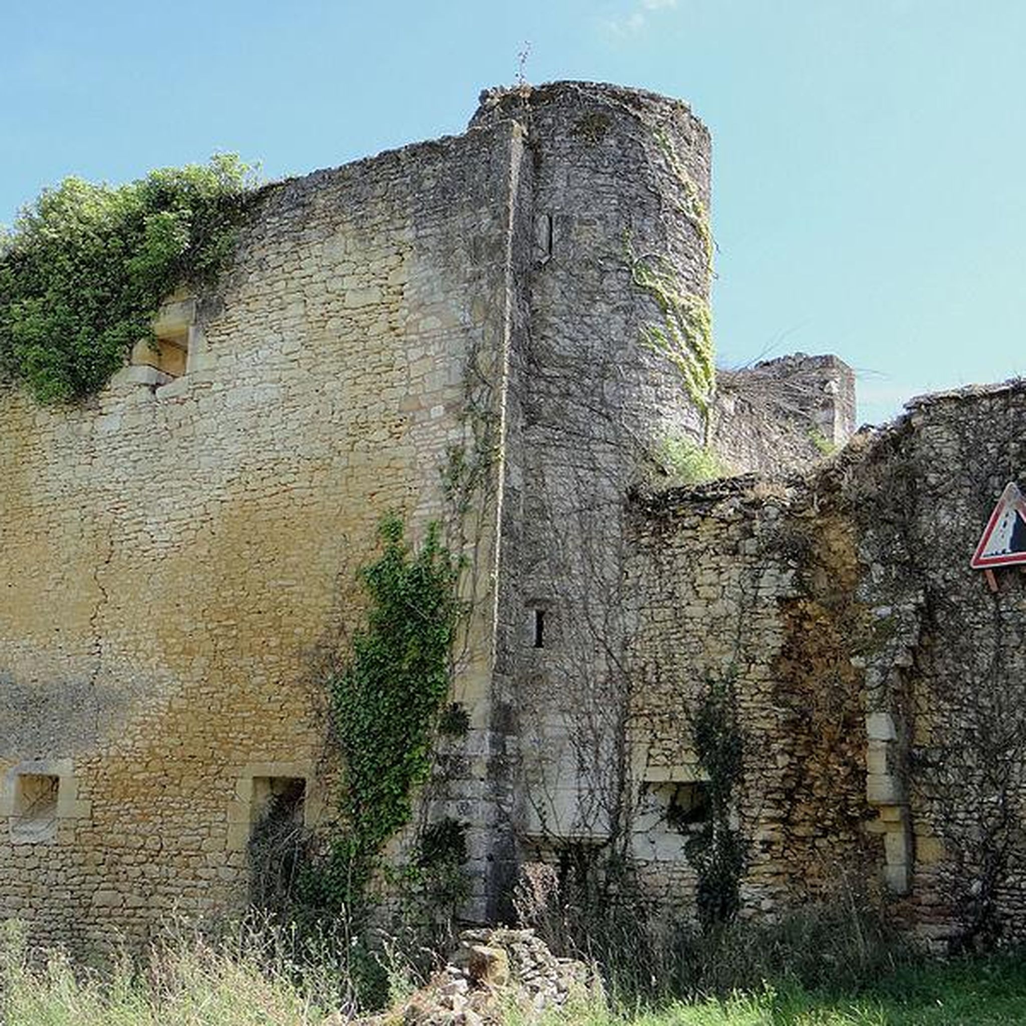
Hiking around Lough Barra
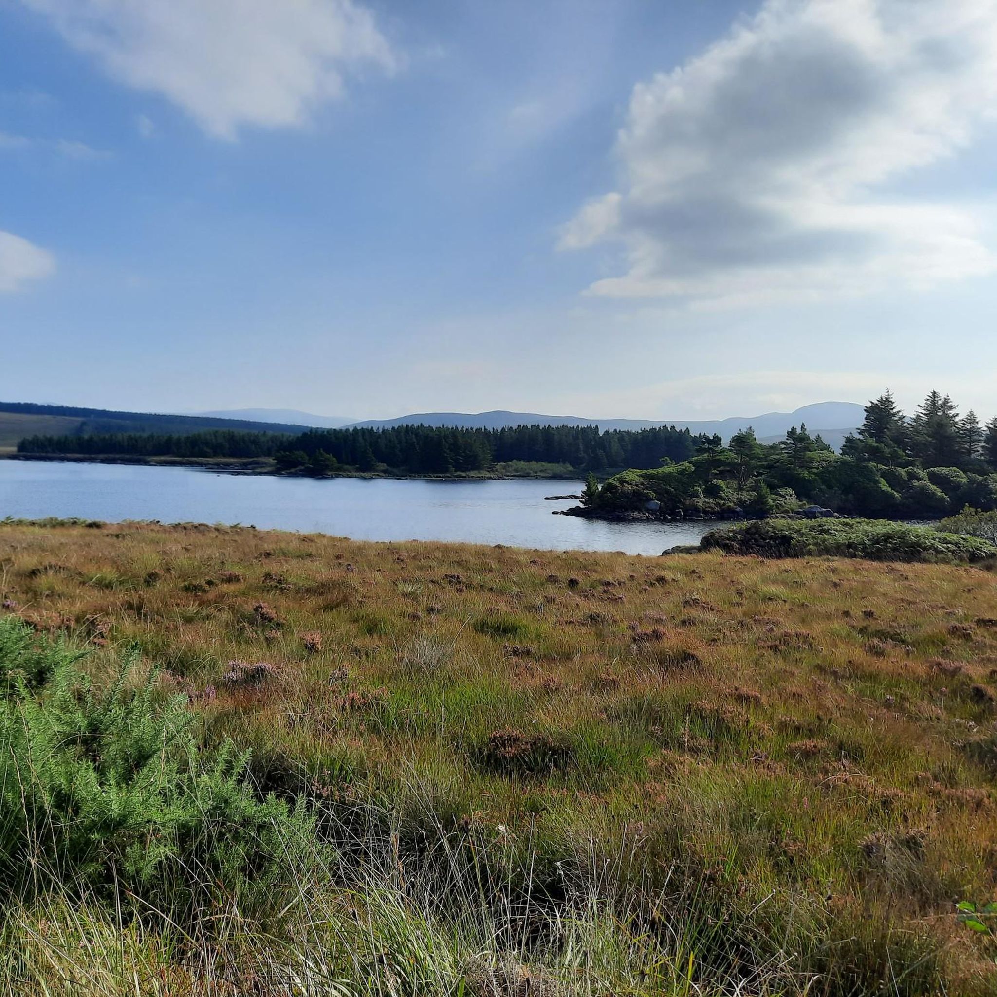
Hiking around Lough Aleck More
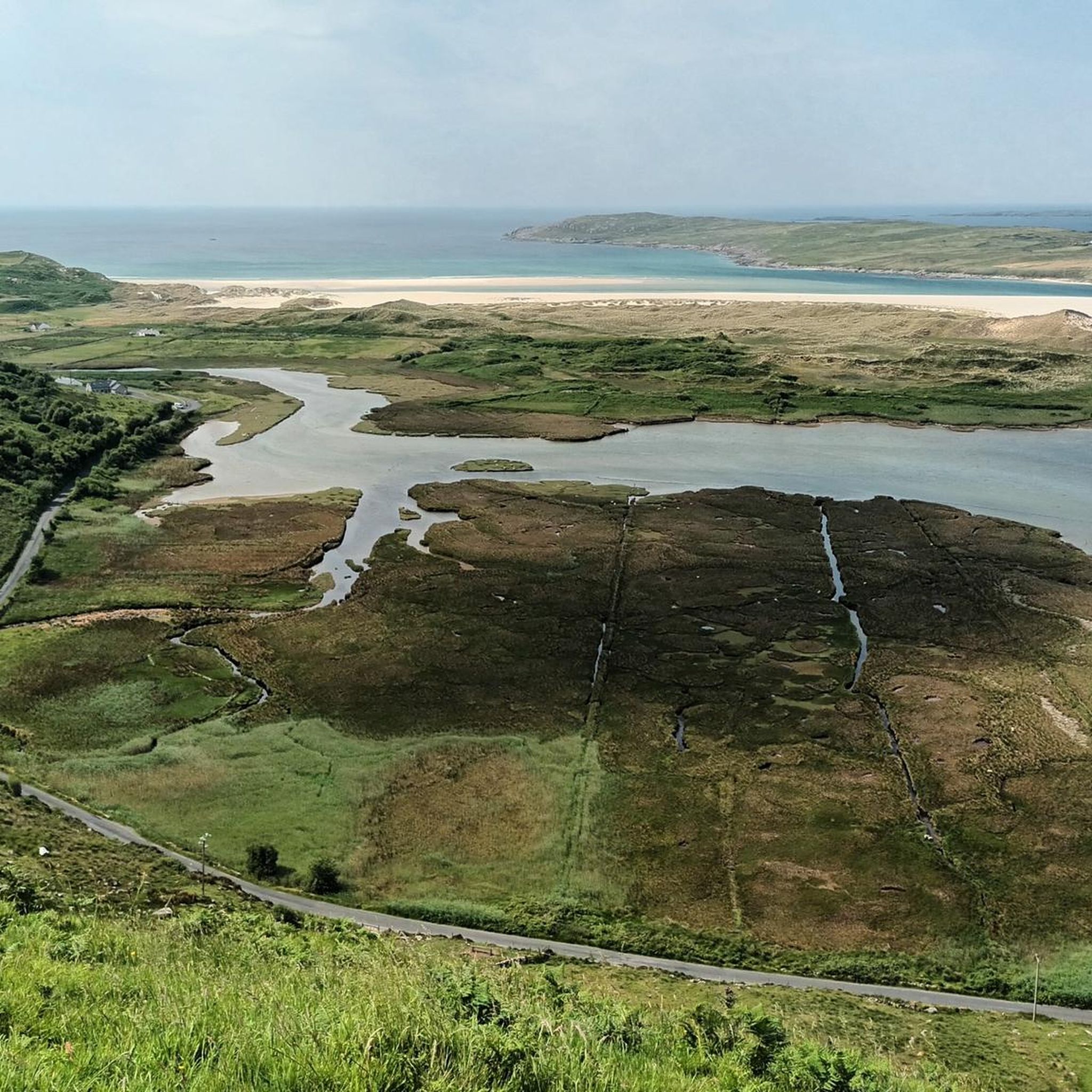
Hiking around Kiltooris Lough
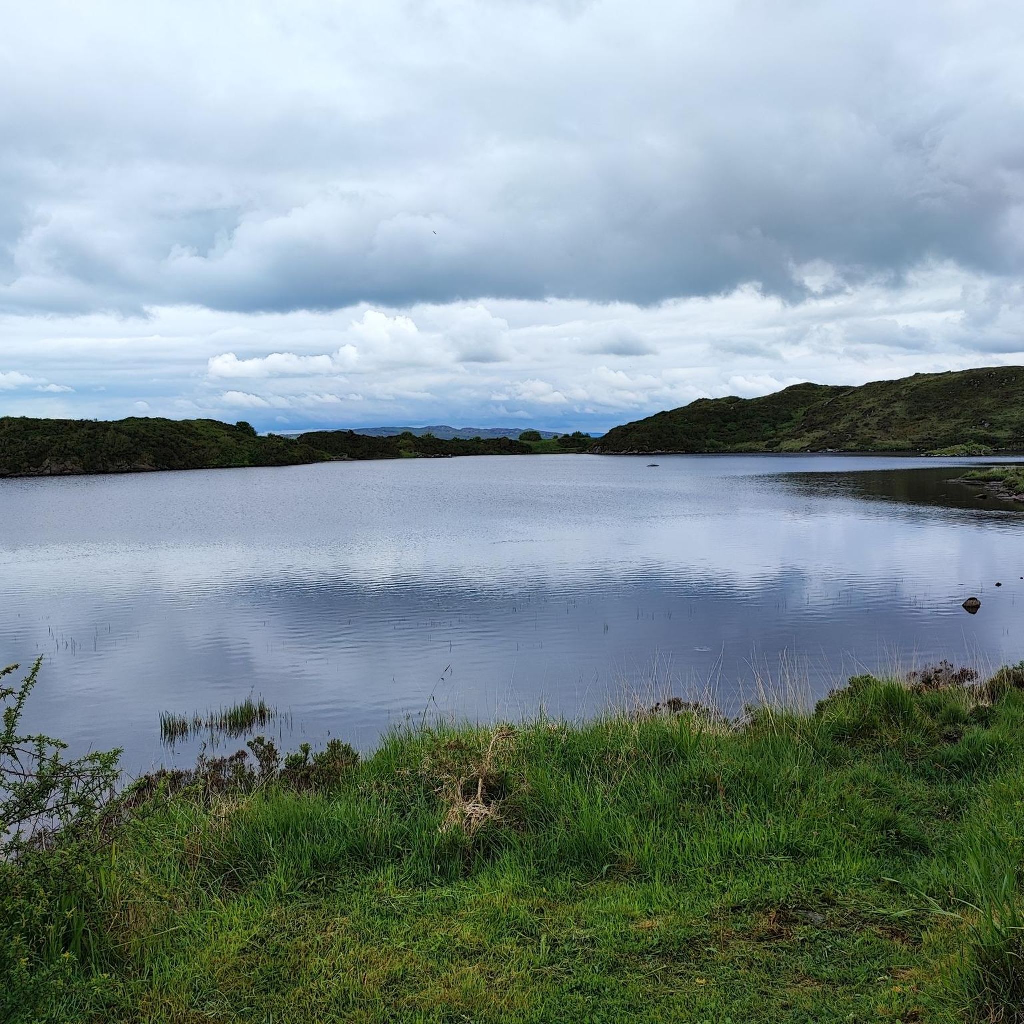
Hiking around Doon Lough
Slí An Earagail – An adventure between the Atlantic and Errigal

Follow the water - Along Ireland's rivers and lakes
Other adventures around Glenties Municipal District


Tips from the Community

In this beautiful little corner of Donegal there are 9 different walking trails, each offering something different
5
0

"Where the mountains rise to the oft-changing skies, And the castle stands stately and gray; Where the still lake still lies, beneath that wild, rugged hill, In the vale of lovely Glenveagh..." By: Herbert W.K. Sterritt
2
0

The lookout is rather unspectacular. The magnificent coastal landscape is worth seeing.
0
0
A beautiful place. In contrast to southern Ireland, such as Kerry, Donegal is quite original, the climate is much harsher and there are fewer tourists. It is more likely that you will find individual tourists here.
0
0

One of the many highlights on the hiking trail. Lots of variety and great views round off the tour.
0
0
From the sea side, Muckish Mountain looks like a giant lying wild boar in silhouette. It can be climbed well and safely and offers a great view.
0
0
One of the rare forest areas in Ireland, situated on a ridge leading to the sea.
1
0
Frequently Asked Questions
What types of hiking trails can I find in Glenties Municipal District?
Glenties Municipal District offers a diverse range of hiking trails, from rugged mountain climbs to tranquil forest walks and dramatic coastal paths. You can explore expansive forests, serene lakes, and river walks, as well as challenging peaks like Mount Errigal and Muckish Mountain. The region's proximity to the Wild Atlantic Way also provides spectacular coastal views.
How many hiking routes are available in Glenties Municipal District?
There are over 85 hiking routes available in Glenties Municipal District, catering to various fitness levels and preferences. This includes a good mix of easy, moderate, and difficult trails.
Are there easy hikes suitable for families or beginners?
Yes, Glenties Municipal District has many easy trails perfect for families and beginners. For instance, the Glenveagh Castle along Lough Veagh route is an easy walk within Glenveagh National Park. The Derrylahan Nature Trail also offers an accessible experience through varied habitats. Additionally, Ards Forest Park features several gentle loops, and the town of Glenties itself has local looped walks like the Alter Loop.
What are some challenging hikes for experienced trekkers?
For experienced hikers seeking a challenge, the region offers routes like the Mount Errigal & Mackoght loop, which provides panoramic views from two prominent peaks. Another demanding option is the ascent of Muckish Mountain via the Miner's Path. These trails involve significant elevation gain and rugged terrain.
What natural landmarks or attractions can I see while hiking?
The region is rich in natural beauty. You can encounter impressive peaks like Mount Errigal, dramatic coastal features such as the Horn Head Cliffs, and serene areas like Ards Forest Park. Don't miss the stunning Assaranca Waterfall or the unique Crohy Head Sea Arch.
Are there any circular hiking routes in the area?
Yes, many trails in Glenties Municipal District are designed as loops. Examples include the Mount Errigal & Mackoght loop, the Ards Forest Park loop to Binnagorm Beach & Sheep Haven Bay, and the Horn Head Loop Walk. The town of Glenties also offers several local looped walks.
What do other hikers enjoy most about the trails in Glenties Municipal District?
The trails in Glenties Municipal District are highly rated by the komoot community, with an average score of 4.7 stars from over 490 reviews. Hikers often praise the region's stunning natural beauty, the diversity of landscapes from mountains to coastlines, and the well-maintained paths that cater to various skill levels.
Can I bring my dog on the hiking trails?
Many outdoor areas in Glenties Municipal District are dog-friendly, but it's important to check specific regulations for each location, especially within national parks or nature reserves. Generally, dogs should be kept on a leash to protect wildlife and ensure the safety of other hikers.
Are there any trails that feature coastal views or beaches?
Absolutely. The region's location along the Wild Atlantic Way means many trails offer spectacular coastal scenery. The Horn Head Loop Walk provides dramatic cliff views. Within Ards Forest Park, you can find trails leading to areas like Sheephaven Bay Beach, offering a mix of forest and seaside exploration.
What is the best time of year to go hiking in Glenties Municipal District?
The best time for hiking in Glenties Municipal District is typically from late spring to early autumn (May to September), when the weather is generally milder and daylight hours are longer. However, the region's beauty can be enjoyed year-round, with each season offering a unique experience, though winter hikes may require more preparation for colder, wetter conditions.
Are there any historical sites or ruins to explore on the trails?
Yes, you can discover historical elements while hiking. For example, the Horn Head Signal Tower Ruins offer a glimpse into the region's past with stunning views. Glenveagh National Park also features the 19th-century Glenveagh Castle, which can be explored as part of several hiking routes.
Are there any less crowded hiking options for a quieter experience?
While popular spots like Glenveagh National Park and Mount Errigal can attract visitors, many of the smaller looped walks around the town of Glenties, such as the Meenahalla Loop or Mullantyboyle Loop, often provide a quieter experience. Exploring trails within Ards Forest Park outside of peak hours can also offer more solitude.
Most popular routes around Glenties Municipal District
Most popular attractions around Glenties Municipal District

Get inspired with the komoot mobile app


Didn’t find what you were looking for?
Check out more Hikes throughout Glenties Municipal District below and find the perfect route in your destination.
Explore more
Browse the best Hikes in other regions.
