The best traffic-free bike rides around Glenties Municipal District
4.3
(15)
1,123
riders
14
rides
No traffic road cycling routes around Glenties Municipal District offer a diverse landscape for cyclists, characterized by a mix of coastal and mountainous terrain. The region features significant cliffs, sandy beaches, and sea loughs along its Atlantic coastline, contrasting with inland areas dominated by peaks like Mount Errigal and Muckish Mountain. Glenties itself is situated where two glens meet, near the confluence of the Owenea and Stranaglough rivers, with numerous lakes and forested areas like Ards Forest Park contributing to…
Last updated: July 10, 2026
5.0
(1)
16
riders
16.7km
00:59
310m
310m
Moderate road ride. Good fitness required. Some segments of this route may be unpaved and difficult to ride.
8
riders
15.2km
00:48
200m
200m
Easy road ride. Great for any fitness level. Mostly well-paved surfaces and easy to ride.

Sign up for free
6
riders
20.4km
01:05
240m
240m
Easy road ride. Great for any fitness level. Mostly well-paved surfaces and easy to ride.
7
riders
16.2km
01:00
200m
200m
Easy road ride. Great for any fitness level. Mostly well-paved surfaces and easy to ride.
5
riders
32.6km
02:03
230m
230m
Moderate road ride. Good fitness required. Some segments of this route may be unpaved and difficult to ride.
Get access to more routes and recommendations from other explorers.
Sign up for free
Already have an account?
Our route recommendations are based on thousands of hikes, rides, and runs completed by other people on komoot.
Start today with a free account
Your next adventure awaits.
Login or Signup
Popular around Glenties Municipal District
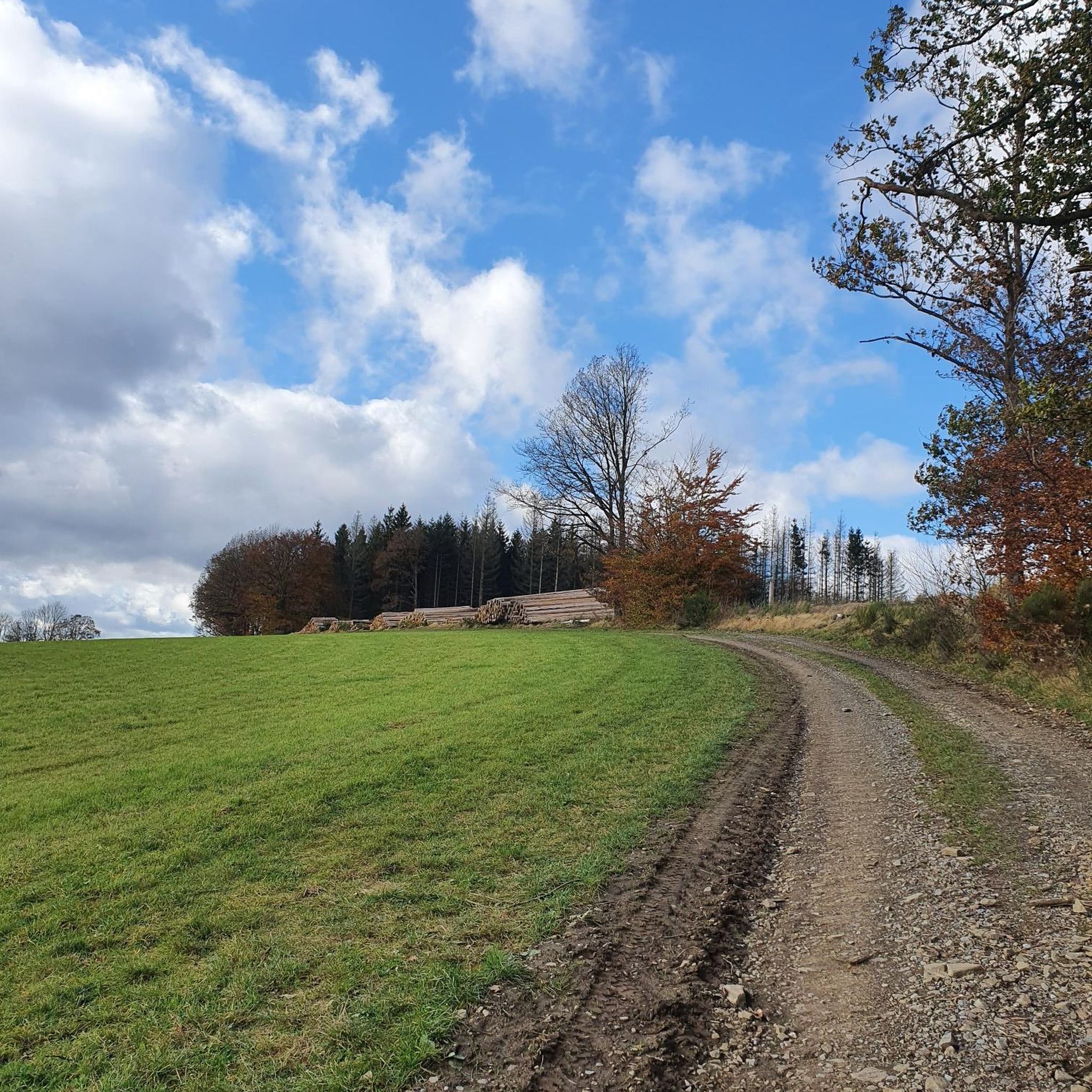
Traffic-free bike rides around Ards Forest
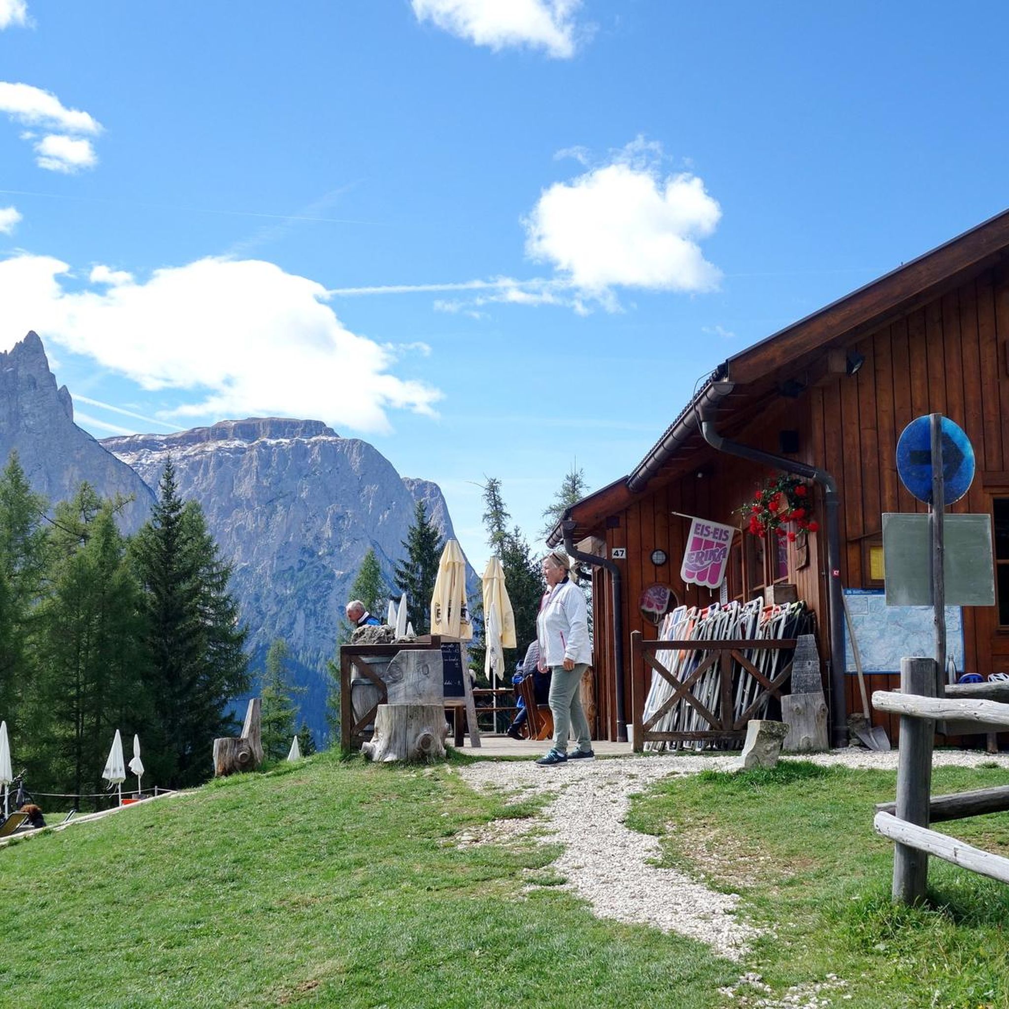
Traffic-free bike rides around Glenveagh National Park

Traffic-free bike rides around Dungloe Lough
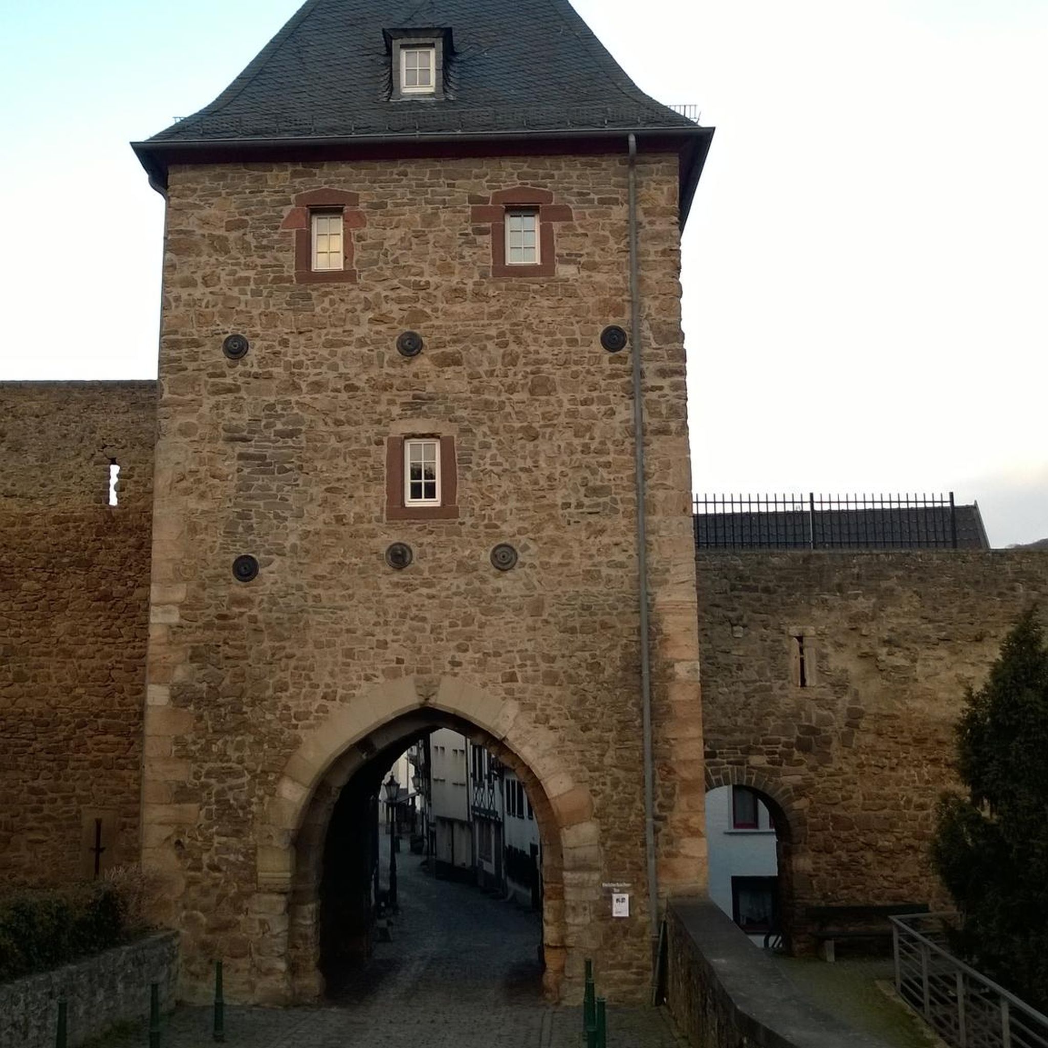
Traffic-free bike rides around Lough Aleck More

Traffic-free bike rides around Lough Finn

Traffic-free bike rides around Lough Barra
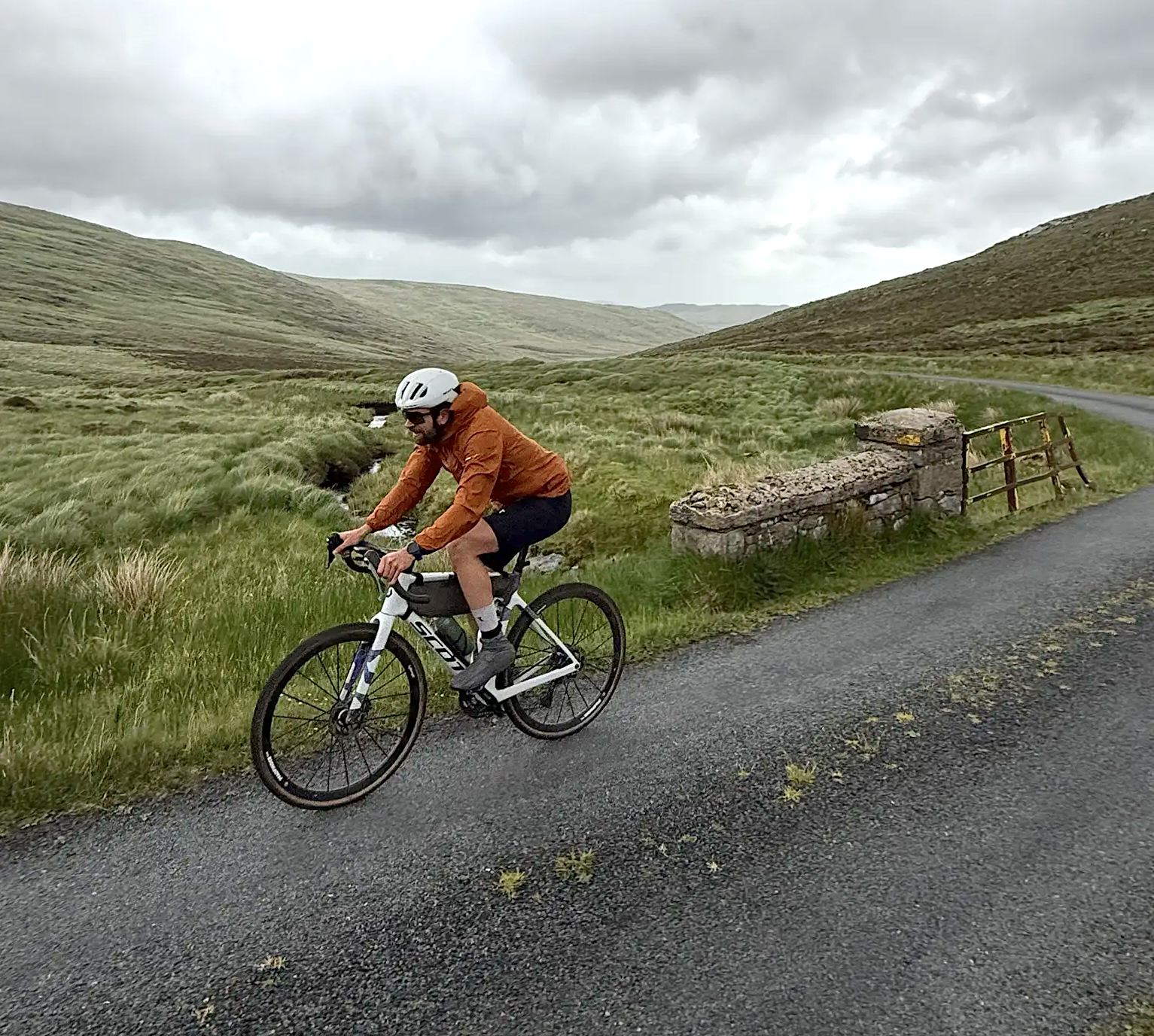
Cycling in County Donegal with Jonas Deichmann
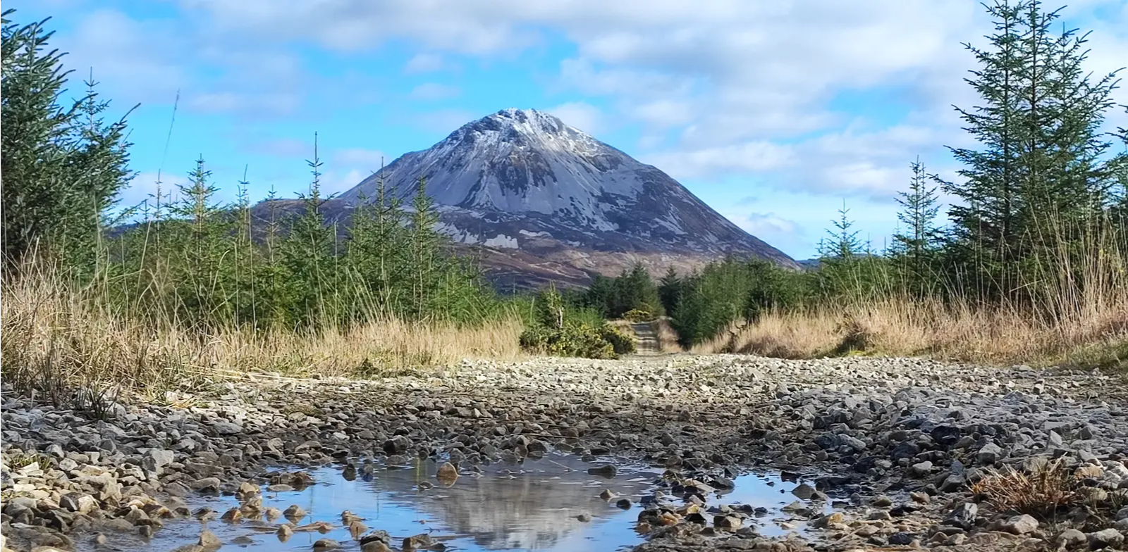
Slí An Earagail – An adventure between the Atlantic and Errigal

Follow the water - Along Ireland's rivers and lakes
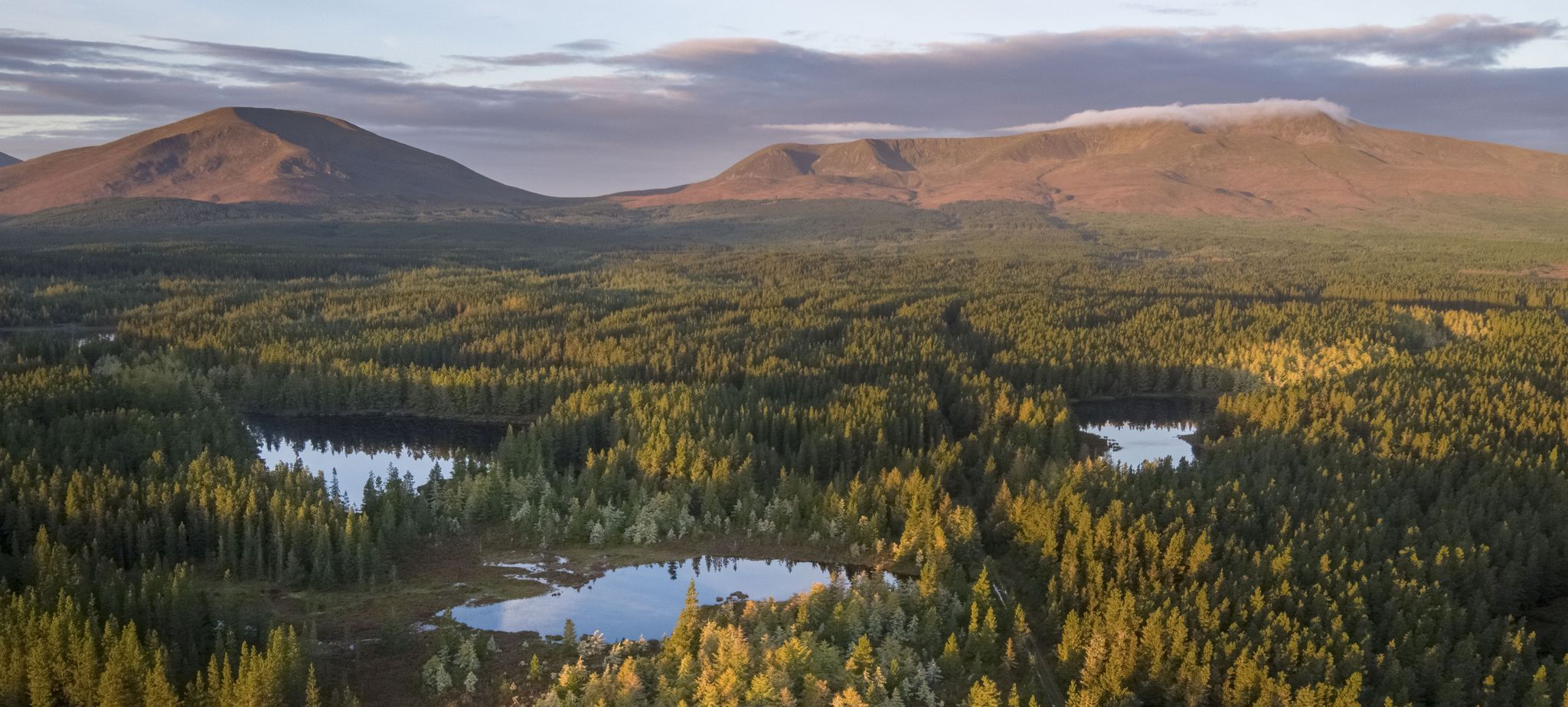
Discover Ireland's unspoilt nature in its national parks
Other adventures around Glenties Municipal District


Tips from the Community

Rossguill lies between Fanad to the east and Horn Head to the west, a narrow peninsula where heather, dunes, and ocean alternate. The coastline is open and slightly curved, with calm beaches and low ridges that constantly offer new views of Mulroy Bay and the Atlantic side. The roads run close to the water and through small, scattered settlements, making the landscape feel both vast and intimate. It is an area defined primarily by light, wind, and the open space of North Donegal.
6
0
From this high point, you look out over Tranarossan Bay, a quiet, semi-circular inlet on the north coast of Rosguill. The view combines clear turquoise water, light sandy beaches, and the rugged rock heads that are so typical of this part of the Wild Atlantic Way. In good light, you can see how the bay looks almost Caribbean, while the rugged hills behind preserve the pure Donegal character.
6
0
Rosguill Panorama: The Untamed North Coast. Photo tip: Use the depth of the coastline to give scale to your photo. The contrasts between the green heath, the dark rocks, and the changing light on the water make this a top location for landscape photography. From this elevated point, you look down on the rugged beauty of Dooey Beach, a vast stretch of golden sand constantly shaped by the powerful surf of the Atlantic Ocean. No tourist crowds, just wind, water, and the rhythm of the waves. The panorama is a 360-degree spectacle: the ocean stretches to the horizon, while the rugged coastline of the bay is framed by deep blue inlets and white foam crests. For cyclists on the Atlantic Drive, this is a challenging but rewarding segment — the narrow road follows the cliff edge, giving an intense sense of freedom.
6
0
One of the least interesting parts of the bike route.
4
0
Maghery Beach is a long, quiet beach on the west coast of Donegal, enclosed between low dunes and the open Atlantic Ocean. From here you look out over the rocky islands and the rugged coastline towards Crohy Head. The beach feels wide and empty, with only the sound of the waves and the wind sweeping over the dunes.
5
0
Crohy Head Sea Arch, locally also known as The Breeches, is a striking coastal formation on the rugged cliffs southwest of Dungloe. The arch seen from the cliff is actually the Bristi Sea Stack, one of several natural arches carved out here by Atlantic erosion. The silhouette — a narrow, tall rock with a hollowed-out passage — forms one of Donegal's most recognizable coastal sights. The surroundings consist of steep grassy slopes, dark rocks, and open views towards Maghery and Arranmore.
5
0
At this point, a solitary bench stands with a magnificent view over the rugged coastline of Crohy. You look out over rock plateaus, deep inlets, and the open Atlantic horizon. It is a quiet, sheltered spot where you can pause for a moment and truly appreciate the dramatic shapes of the coast.
7
0
This beach is beautifully nestled in a sheltered cove near the local harbour, giving it a pleasantly calm character compared to the larger, open beaches nearby. At low tide, the waters slowly recede, revealing numerous tide pools among the rocks; these rock pools are a paradise for families who can explore them together in search of small sea creatures.
4
0
Frequently Asked Questions
How many no traffic road cycling routes are available in Glenties Municipal District?
There are over 10 dedicated no traffic road cycling routes in the Glenties Municipal District, offering a variety of experiences for different fitness levels. You'll find a mix of easy coastal loops and more moderate rides through scenic landscapes.
Are there any easy, family-friendly no traffic road cycling routes in the Glenties Municipal District?
Yes, the region offers several easy routes perfect for families or those seeking a relaxed ride. For instance, the View of Rosbeg Inlet – Rosbeg Beach loop from Inishkeel is an easy option with beautiful coastal views. Another great choice is the Maghery Beach – Crohy Head Sea Arch loop from Dungloe, which is also rated as easy and offers stunning scenery.
What kind of scenery can I expect on these no traffic road cycling routes?
The no traffic road cycling routes in Glenties Municipal District offer incredibly diverse scenery. You'll experience rugged coastlines with dramatic cliffs and sandy beaches, serene sea loughs, and views of majestic mountains like Mount Errigal and Muckish Mountain. Many routes also wind through picturesque glens and past tranquil lakes such as Lough Finn and Lough Ea.
Are there any circular no traffic road cycling routes?
Yes, many of the no traffic road cycling routes in the Glenties Municipal District are designed as circular loops, allowing you to start and end at the same point. Examples include the Rossguill Peninsula – View of Doagh Bay loop from Crockangallagher and the View of Rosbeg Inlet – Rosbeg Beach loop from Dawros ED, both offering scenic circular rides.
What are some notable natural attractions I can see along these routes?
The region is rich in natural beauty. Along your rides, you might encounter the dramatic Horn Head Cliffs, the impressive Crohy Head Sea Arch, or enjoy the tranquil shores of Sheephaven Bay Beach. Inland, you'll find views of Mount Errigal and the beautiful Assaranca Waterfall.
What is the best time of year to enjoy no traffic road cycling in Glenties Municipal District?
The best time to enjoy no traffic road cycling in Glenties Municipal District is generally from late spring to early autumn (May to September). During these months, the weather is typically milder, with longer daylight hours and less rainfall, making for more pleasant riding conditions. However, the dramatic landscapes are beautiful year-round.
Are there options for more challenging no traffic road cycling?
Yes, while this guide focuses on no traffic routes, the Glenties Municipal District also offers more challenging road cycling experiences for those with good fitness. Routes like the Glencolmcille and Slieve League Cycle Loop (from Ardara) feature significant elevation changes and longer distances, providing a rewarding challenge amidst stunning scenery.
Where can I find parking for these no traffic road cycling routes?
Parking is generally available in the towns and villages that serve as starting points for many routes, such as Dungloe or Glenties. For specific routes, it's advisable to check the route details on komoot for designated parking areas or suitable roadside spots near the trailhead.
Can I find places to stop for refreshments or a meal along these routes?
Yes, many routes pass through or near small towns and villages where you can find local cafes, pubs, and shops to refuel. The region is known for its hospitality, and you'll often find welcoming spots to enjoy a break and a bite to eat, especially in places like Glenties, Dungloe, or Ardara.
What do other cyclists say about the no traffic road cycling routes in Glenties Municipal District?
The no traffic road cycling routes in Glenties Municipal District are highly rated by the komoot community, with an average score of 4.1 stars. Reviewers often praise the breathtaking coastal and mountain scenery, the quiet roads, and the sense of tranquility found on these routes, making for a truly immersive cycling experience.
Are there any routes that offer opportunities for wild swimming?
While not explicitly part of the cycling routes, the Glenties Municipal District's coastline and numerous lakes offer opportunities for wild swimming. Maghera Beach, known for its powder-like sand and sea caves, is a popular spot, and many coastal routes will bring you close to beautiful beaches where you can take a refreshing dip.
How long are the no traffic road cycling routes in the area?
The no traffic road cycling routes in Glenties Municipal District vary in length. You can find shorter, easy routes around 15-20 km, such as the View of Rosbeg Inlet – Rosbeg Beach loop from Inishkeel (approx. 15 km). There are also longer, more moderate options like the Burtonport Harbour – Dungloe River Walk loop from Rutland Island, which is about 32 km, offering rides suitable for various time commitments and fitness levels.
Most popular routes around Glenties Municipal District
Most popular attractions around Glenties Municipal District

Get inspired with the komoot mobile app


Didn’t find what you were looking for?
Check out more Road cycling routes throughout Glenties Municipal District below and find the perfect route in your destination.
Explore more
Browse the best Road cycling routes in other regions.
