The best cycling routes around Glenties Municipal District
4.6
(79)
740
riders
91
rides
Touring cycling around Glenties Municipal District offers diverse landscapes, from dramatic coastal cliffs and serene beaches to expansive forests and mountainous terrain. The region is characterized by its position at the meeting point of two glens and two rivers, with the Bluestack Mountains to the south-east and Mount Errigal providing a prominent landmark. Natural features include Horn Head Cliffs, Sheephaven Bay Beach, and Ards Forest Park, which encompasses sand dunes, saltwater lakes, and varied woodlands.
Best touring cycling routes around…
Last updated: July 7, 2026
5.0
(5)
54
riders
32.7km
02:36
460m
460m
Hard bike ride. Very good fitness required. Some segments of this route may be unpaved and difficult to ride.
4.9
(8)
48
riders
20.5km
01:28
410m
410m
Moderate bike ride. Good fitness required. Mostly paved surfaces. Suitable for all skill levels.

Sign up for free
4.0
(5)
17
riders
38.0km
02:23
420m
420m
Moderate bike ride. Good fitness required. Mostly paved surfaces. Suitable for all skill levels.
5.0
(3)
13
riders
28.9km
01:57
480m
480m
Hard bike ride. Very good fitness required. Mostly paved surfaces. Suitable for all skill levels.
5.0
(2)
19
riders
7.59km
00:29
60m
60m
Easy bike ride. Great for any fitness level. Mostly paved surfaces. Suitable for all skill levels.
5.0
(1)
3
riders
15.3km
00:58
160m
160m
Moderate bike ride. Good fitness required. Mostly paved surfaces. Suitable for all skill levels.
5.0
(3)
10
riders
77.6km
05:08
830m
830m
Hard bike ride. Very good fitness required. Some segments of this route may be unpaved and difficult to ride.
5.0
(1)
9
riders
46.7km
02:54
470m
470m
Hard bike ride. Very good fitness required. Mostly paved surfaces. Suitable for all skill levels.
6
riders
37.6km
02:17
290m
290m
Moderate bike ride. Good fitness required. Mostly paved surfaces. Suitable for all skill levels.
5.0
(3)
6
riders
25.3km
01:30
180m
180m
Moderate bike ride. Good fitness required. Mostly paved surfaces. Suitable for all skill levels.
Get access to more routes and recommendations from other explorers.
Sign up for free
Already have an account?
Our route recommendations are based on thousands of hikes, rides, and runs completed by other people on komoot.
Start today with a free account
Your next adventure awaits.
Login or Signup
Popular around Glenties Municipal District
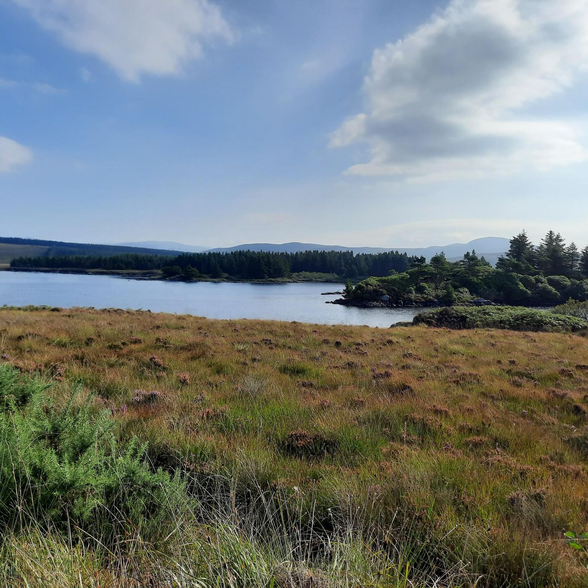
Cycling around Dungloe Lough
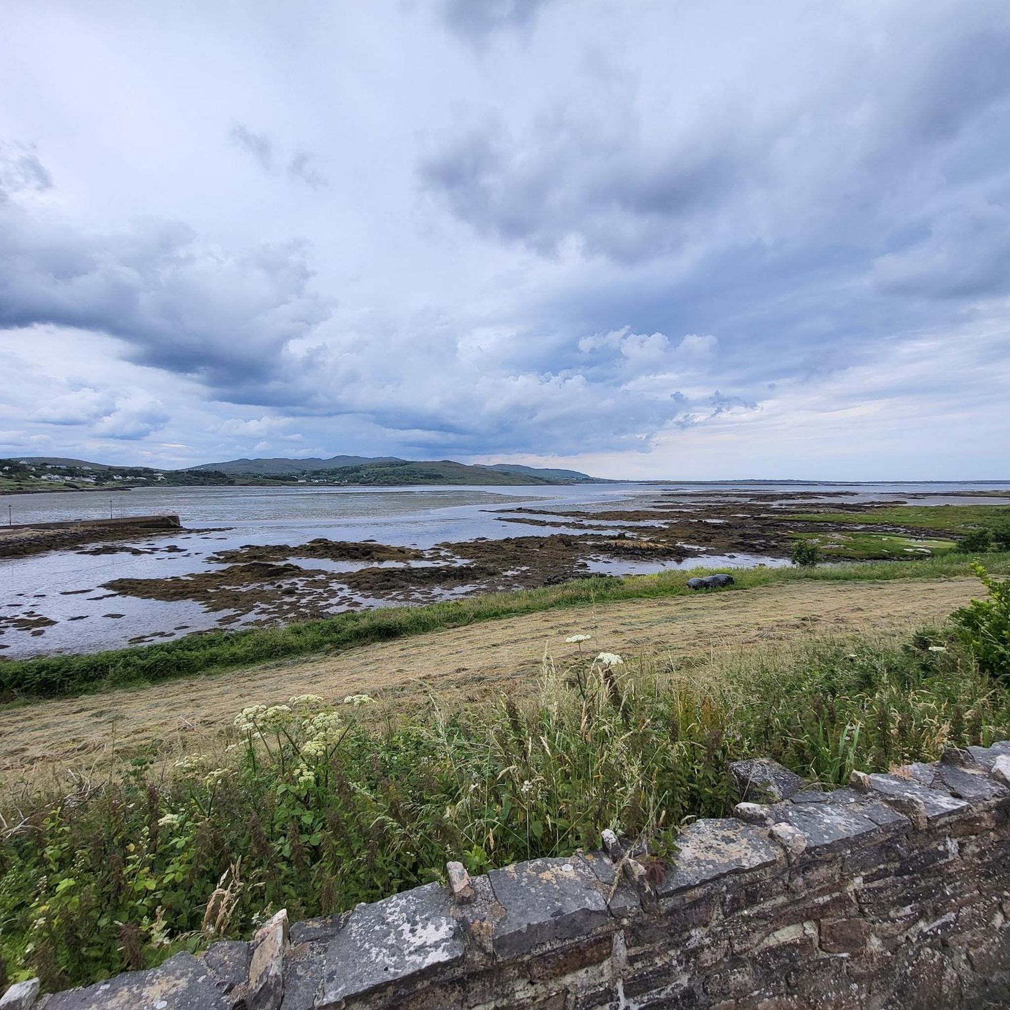
Cycling around Lough Aleck More
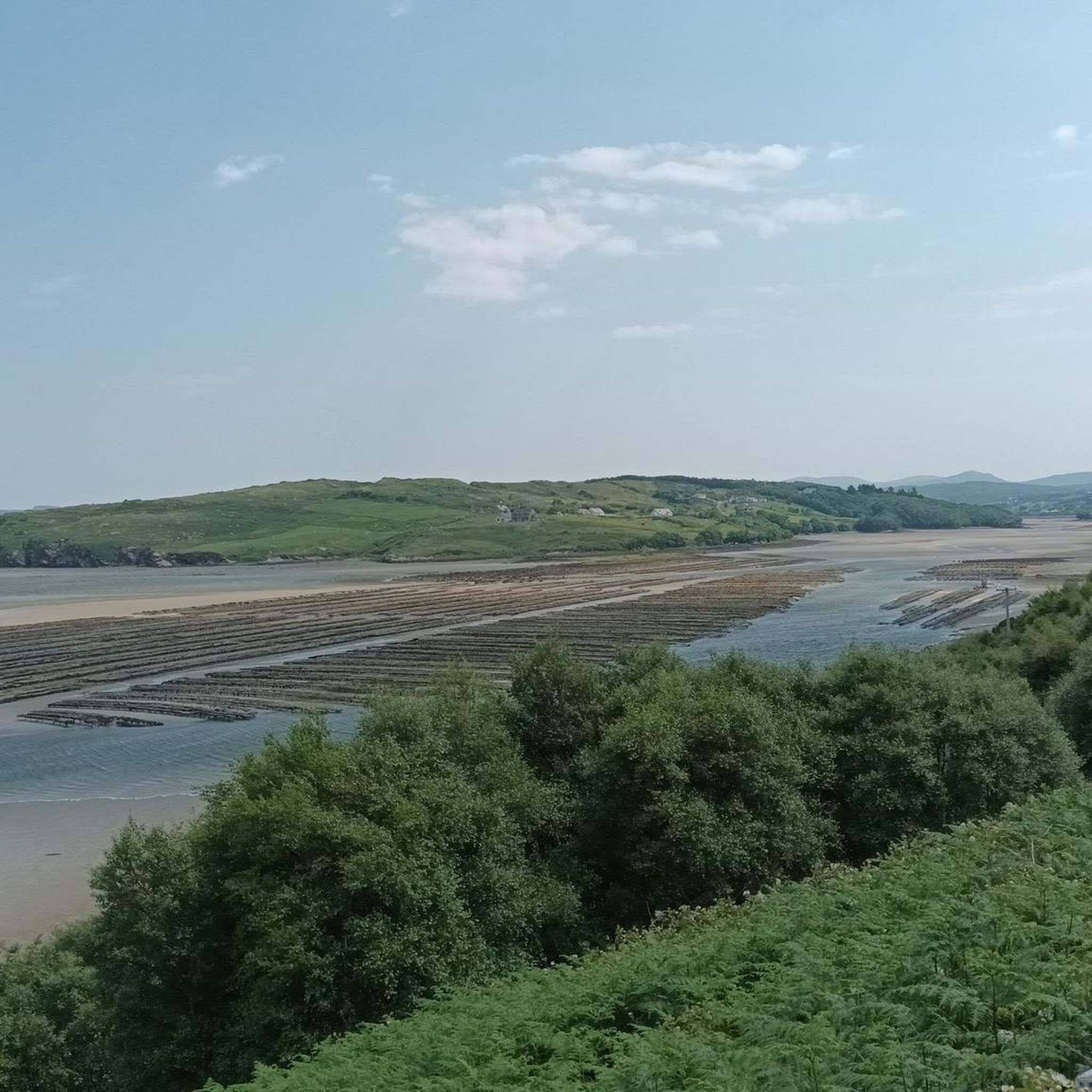
Cycling around Kiltooris Lough
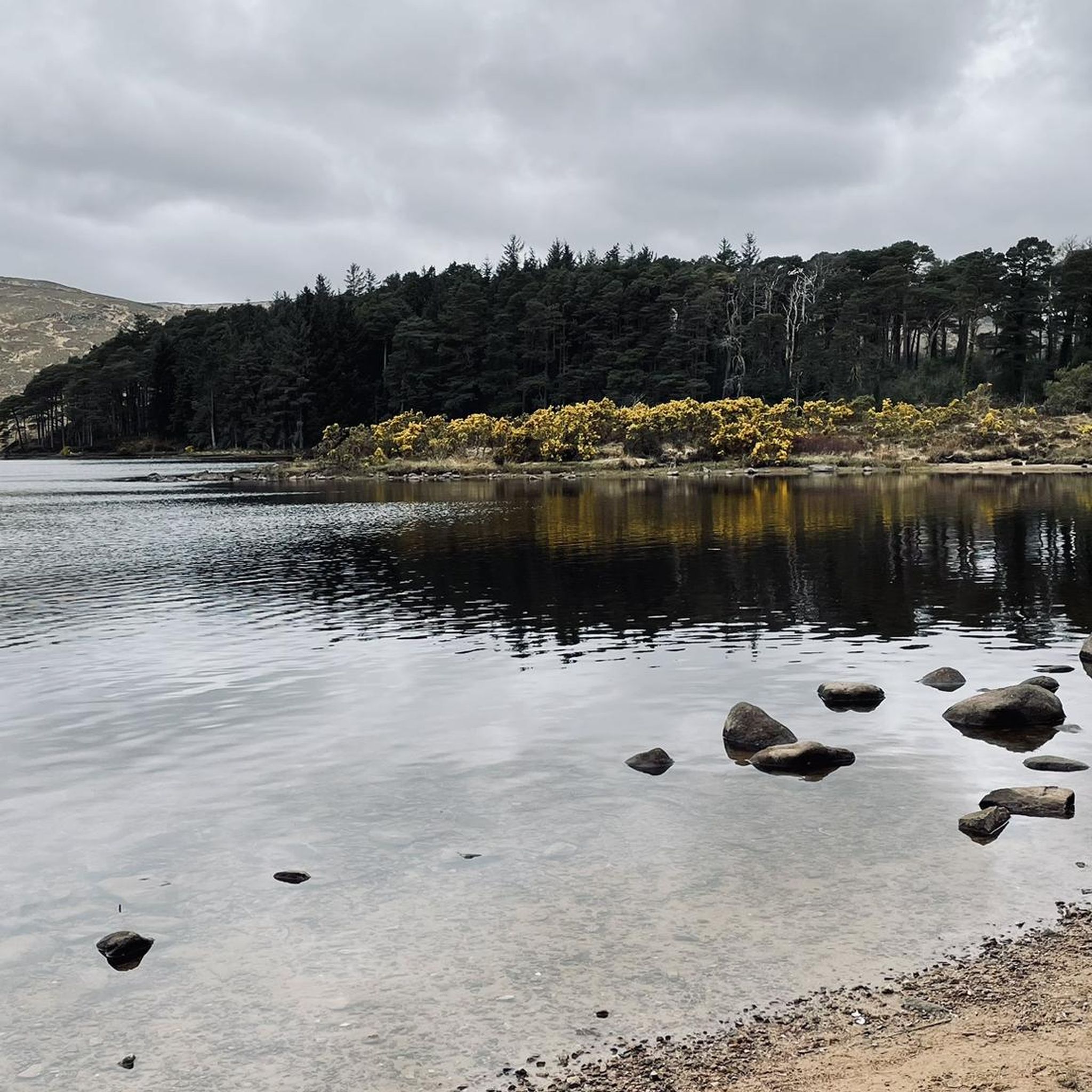
Cycling around Glenveagh National Park
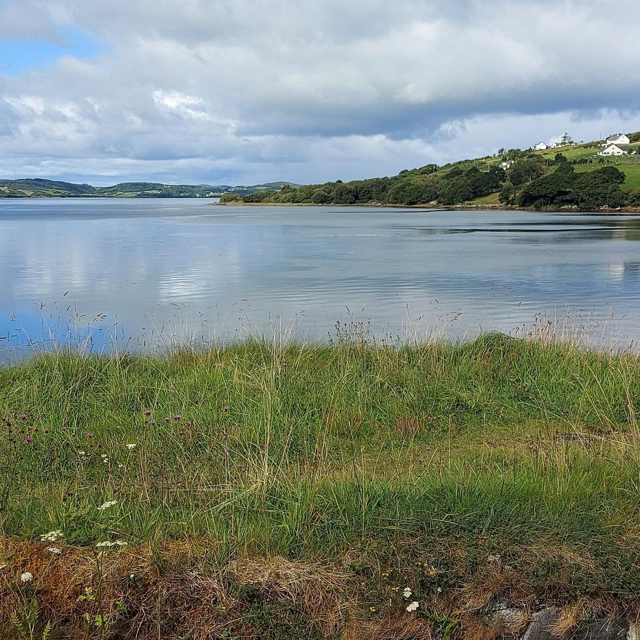
Cycling around Doon Lough
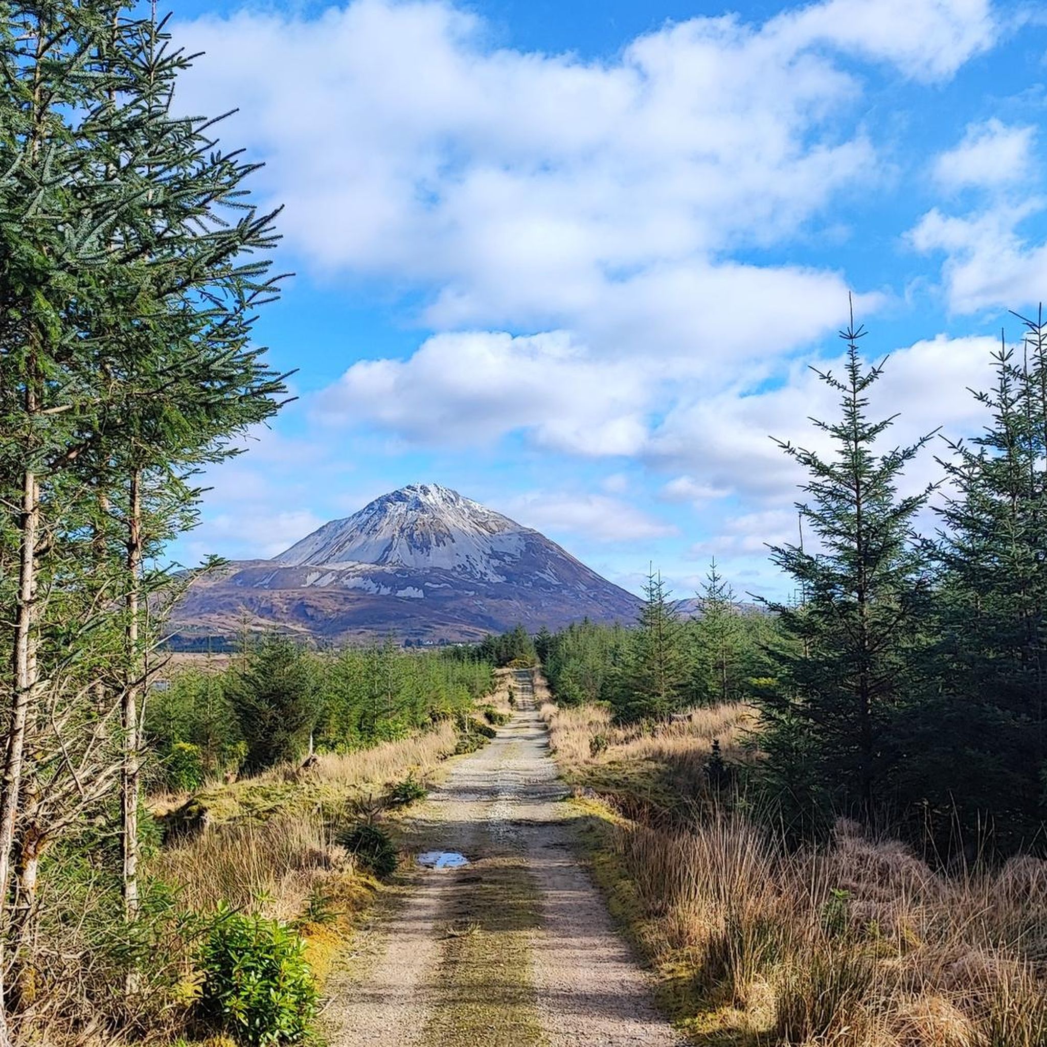
Cycling around Lough Nacung
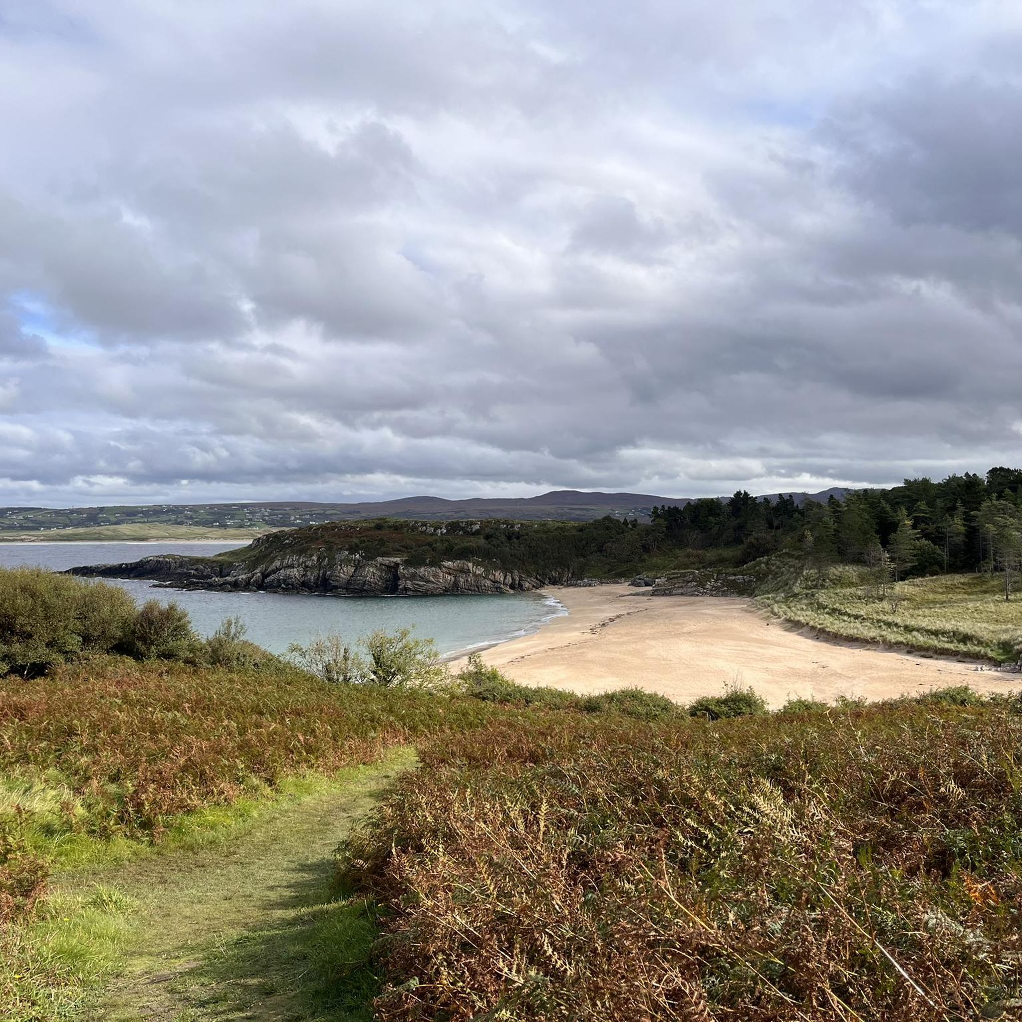
Cycling around Ards Forest
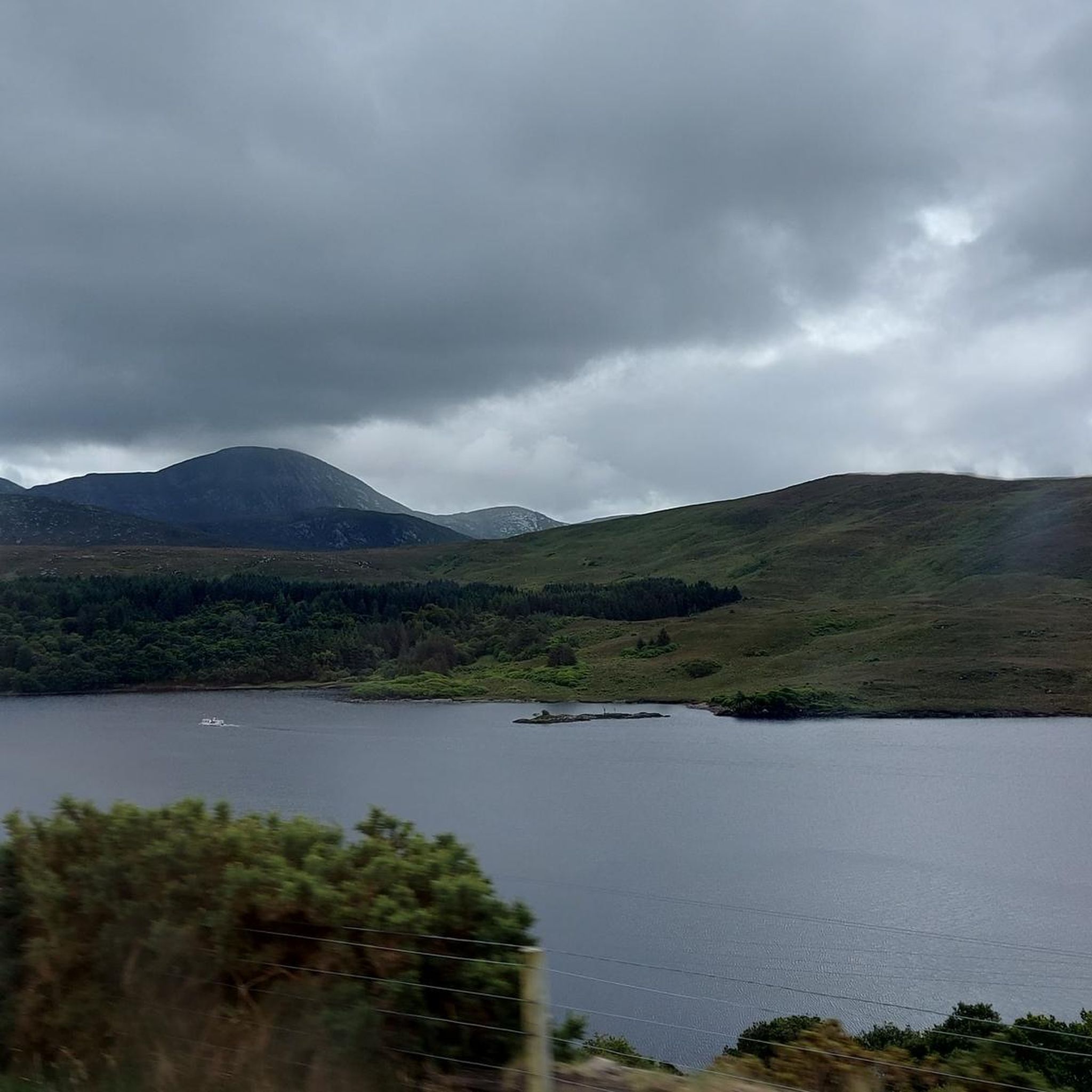
Cycling around Lough Barra
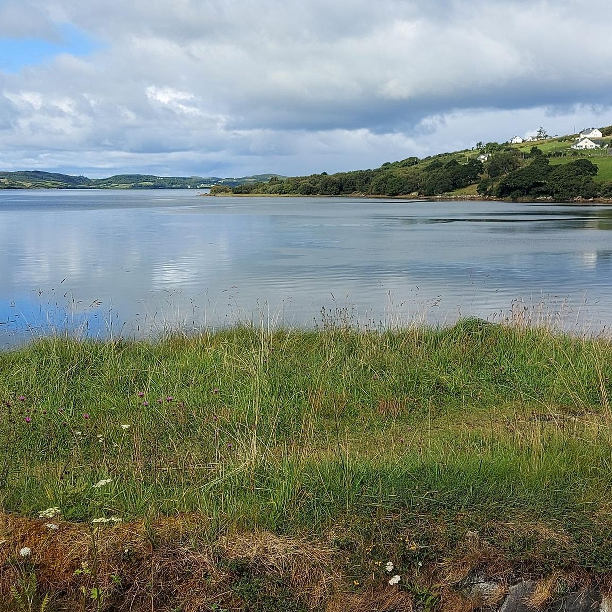
Cycling around Lough Finn
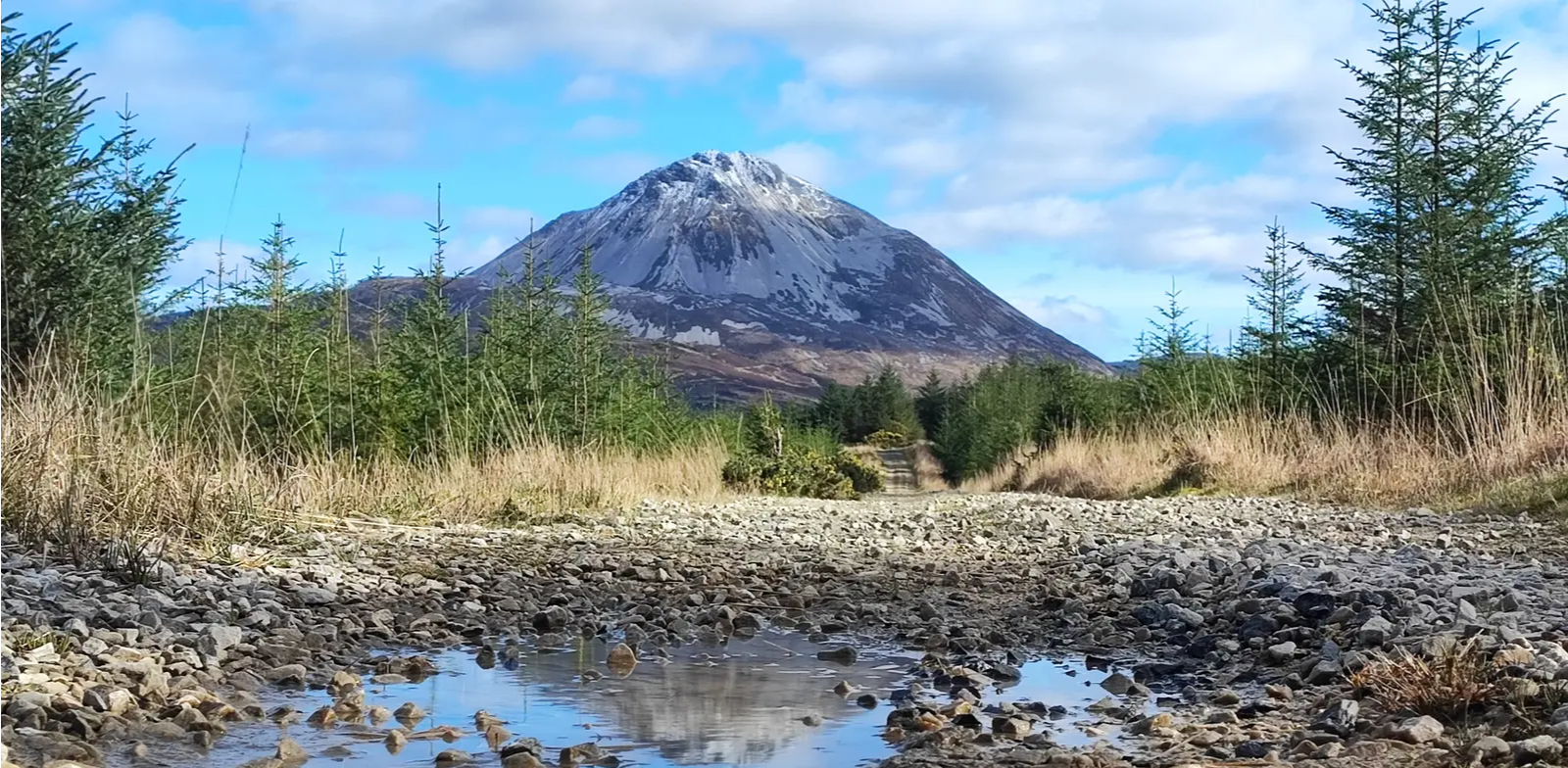
Slí An Earagail – An adventure between the Atlantic and Errigal
Other adventures around Glenties Municipal District


Tips from the Community

Mount Errigal (751 m) is the highest mountain in Donegal and one of Ireland's most iconic peaks. The mountain is immediately striking with its sharp, pyramid-shaped silhouette and its quartz summit that shines almost white in sunlight. Errigal stands apart from the surrounding hills, giving it a dominant presence from all directions — especially when driving inland from Dungloe, Doochary, or Dunlewey.
5
0
This beach is beautifully nestled in a sheltered cove near the local harbour, giving it a pleasantly calm character compared to the larger, open beaches nearby. At low tide, the waters slowly recede, revealing numerous tide pools among the rocks; these rock pools are a paradise for families who can explore them together in search of small sea creatures.
4
0
From your vantage point, you have a breathtaking view over the Rosbeg Inlet, where the crystal-clear water slowly recedes at low tide, exposing the hidden sandbanks within the cove. As your gaze drifts further across Dawros Bay, you see how the wider expanse of water eventually flows powerfully into the vast Atlantic Ocean. The surrounding landscape is characterized by a rugged, rocky coastline so typical of the unspoiled beauty of the Wild Atlantic Way. In the immediate vicinity, you look out over the rolling green hills that embrace the charming, small fishing village of Rosbeg.
4
0
Mariakapelletje Glengesh (Ardara side) Small white chapel of Mary just below the summit of the Glengesh pass, built as a wayside shrine for travelers. A quiet landmark in the Ardara valley, right where the last meters of the climb begin.
5
0
A deep, V-shaped valley stretching between Ardara and Glencolumbkille, carved by ancient glaciers and surrounded by steep, green-grass slopes. The road winds down in wide hairpin bends, offering new views of the quiet, remote landscape at every turn. The valley is one of Donegal's most recognizable mountain passes, forming an impressive transition between coast and inland.
5
0
Hidden in the green landscape near Kilclooney, you'll find this spectacular Neolithic portal tomb, one of the most elegant examples of prehistoric architecture in Ireland. The enormous capstone of the largest dolmen balances with astonishing precision on its supporting stones and has overlooked the surrounding fields for over 5,000 years. Directly next to it lies a second, smaller dolmen, making this site a remarkable archaeological ensemble.
7
0

"Where the mountains rise to the oft-changing skies, And the castle stands stately and gray; Where the still lake still lies, beneath that wild, rugged hill, In the vale of lovely Glenveagh..." By Herbert W.K. Sterritt
1
0

The route out of the valley is not recommended with heavy equipment, but it is possible, but it is extremely strenuous and only possible if you push the bike. With lighter luggage and the right bike, it is more likely to be possible.
0
0
Frequently Asked Questions
How many touring cycling routes are available in Glenties Municipal District?
There are over 90 touring cycling routes available in Glenties Municipal District, offering a wide range of options for different skill levels and preferences. The komoot community has explored these routes over 700 times.
What is the general difficulty level of touring cycling routes in Glenties Municipal District?
The routes in Glenties Municipal District cater to various abilities. You'll find a good mix, with approximately 7 easy routes, 45 moderate routes, and 42 difficult routes. This ensures options for both casual riders and those seeking a challenge.
What kind of landscapes can I expect to see while touring cycling in Glenties Municipal District?
Glenties Municipal District offers incredibly diverse landscapes. You can expect dramatic coastal cliffs like Horn Head, serene beaches such as Sheephaven Bay and Dooey Beach, expansive forests including Ards Forest Park, and mountainous terrain with views of the Bluestack Mountains and Mount Errigal. The region is also characterized by its glens and rivers, providing a rich backdrop for exploration.
What do other touring cyclists say about the routes in Glenties Municipal District?
The touring cycling routes in Glenties Municipal District are highly rated by the komoot community, with an average score of 4.6 stars from over 60 reviews. Cyclists often praise the stunning coastal views, the challenging ascents, and the peaceful natural settings found throughout the district.
Are there any notable natural landmarks or viewpoints along the cycling routes?
Yes, the district is rich in natural landmarks. You can cycle past the dramatic Horn Head Cliffs, enjoy views of Mount Errigal, or discover the beautiful Assaranca Waterfall. The Crohy Head Sea Arch is another impressive natural feature worth seeing.
Can I find any historical sites or cultural attractions while cycling in the area?
Absolutely. The region offers historical points of interest such as the Horn Head Signal Tower Ruins, built during the Napoleonic Wars. The town of Glenties itself, a five-time winner of the Irish Tidy Towns Competition, has a pleasant appearance with cafes and pubs, and you can visit St. Connell's Museum and Heritage Centre for insights into local history.
Are there any forest parks suitable for cycling?
Yes, Ards Forest Park is a standout natural feature covering around 1200 acres. It encompasses sand dunes, beaches, salt marshes, saltwater lakes, and various forests, offering numerous trails that are excellent for exploring by bike.
Are there opportunities for wild swimming near the cycling routes?
The Glenties Municipal District, with its extensive coastline and numerous loughs, offers several spots for wild swimming. Beaches like Sheephaven Bay and Dooey Beach are tranquil options, and many loughs such as Lough Nacroaghy and Lough Finn provide opportunities to connect with nature and enjoy a refreshing dip.
Are there family-friendly cycling options in Glenties Municipal District?
For families, the easy-rated routes are a great starting point. An excellent option is the short and relatively flat route to Glenveagh Castle from the Glenveagh National Park Visitors Centre, which is just under 8 km. Ards Forest Park also offers trails suitable for family cycling.
Are there any circular touring cycling routes in the district?
Yes, many routes in the district are circular, allowing you to start and end in the same location. Examples include The Rosses Loop, Naran & Rosbeg loop from Ardara, and the challenging Glenveagh National Park & Dunlewey Lough loop from Dungloe.
What is the best time of year for touring cycling in Glenties Municipal District?
The best time for touring cycling in Glenties Municipal District is generally from late spring to early autumn (May to September). During these months, the weather is typically milder, with longer daylight hours and less rainfall, making for more enjoyable cycling conditions. However, be prepared for changeable weather at any time of year.
Are there cafes or pubs along the cycling routes for refreshments?
While many routes traverse natural and rural areas, charming towns like Glenties offer cafes and pubs where cyclists can relax and refuel. It's advisable to plan your route and check for amenities in towns or villages along your chosen path, especially for longer tours.
Most popular routes around Glenties Municipal District
Most popular attractions around Glenties Municipal District

Get inspired with the komoot mobile app


Didn’t find what you were looking for?
Check out more Cycling routes throughout Glenties Municipal District below and find the perfect route in your destination.
Explore more
Browse the best Cycling routes in other regions.
