The best mountain hikes around Rottachsee
4.9
(183)
1,591
hikers
47
hikes
Mountaineering routes around Rottachsee offer access to the diverse landscapes of the Allgäu region in Bavaria. While the immediate vicinity of Rottachsee features more moderate, gently hilly terrain and meadows, the broader Allgäu Alps provide opportunities for more challenging alpine experiences. The region is characterized by its clear lake, impressive dam, and an alpine panorama that serves as a backdrop to many routes.
Best mountaineering routes around Rottachsee
- The most popular mountaineering route is Old Salt Road – Alpe Müllers Berg loop from Greifenmühle, a 9.8 miles (15.8 km) trail that takes 4 hours 52 minutes to complete. This moderate route explores historical paths and offers views of the surrounding alpine pastures.
- Another top favourite among local mountaineers is Jäger memorial on Grünten – Grüntenspitze and Jägerdenkmal loop from Abzw. Brosisellegg, a difficult 9.2 miles (14.8 km) path. This route ascends to the Grüntenspitze, providing extensive views of the Allgäu mountains.
- Local mountaineers also love the Reuterwanne Summit – Reuterwanne Peak loop from Wertach, a 8.1 miles (13.0 km) trail leading through varied terrain to the Reuterwanne Summit, often completed in about 4 hours 30 minutes.
- Mountaineering around Rottachsee is defined by its proximity to the Allgäu Alps, offering routes through open landscapes, wide views, and challenging alpine terrain. The network provides options for different ability levels, from moderate ascents to difficult summit trails.
- The routes in Rottachsee are highly rated by the komoot community with an average score of 4.8 stars from over 260 reviews. More than 2000 mountaineers have used komoot to explore Rottachsee's varied terrain.
Last updated: July 1, 2026
2
hikers
15.5km
04:44
420m
420m
Moderate mountaineering route. Good fitness required. Mostly accessible paths. Sure-footedness required.
5.0
(2)
17
hikers
Hard mountaineering route. Very good fitness required. Sure-footedness, sturdy shoes and alpine experience required.

Sign up for free
10
hikers
13.0km
04:31
670m
670m
Moderate mountaineering route. Good fitness required. Easily-accessible paths. Suitable for all skill levels.
6
hikers
21.1km
06:20
650m
650m
Hard mountaineering route. Very good fitness required. Easily-accessible paths. Suitable for all skill levels.
5.0
(6)
39
hikers
Hard mountaineering route. Good fitness required. Sure-footedness, sturdy shoes and alpine experience required.
Get access to more routes and recommendations from other explorers.
Sign up for free
Already have an account?
Our route recommendations are based on thousands of hikes, rides, and runs completed by other people on komoot.
Start today with a free account
Your next adventure awaits.
Login or Signup
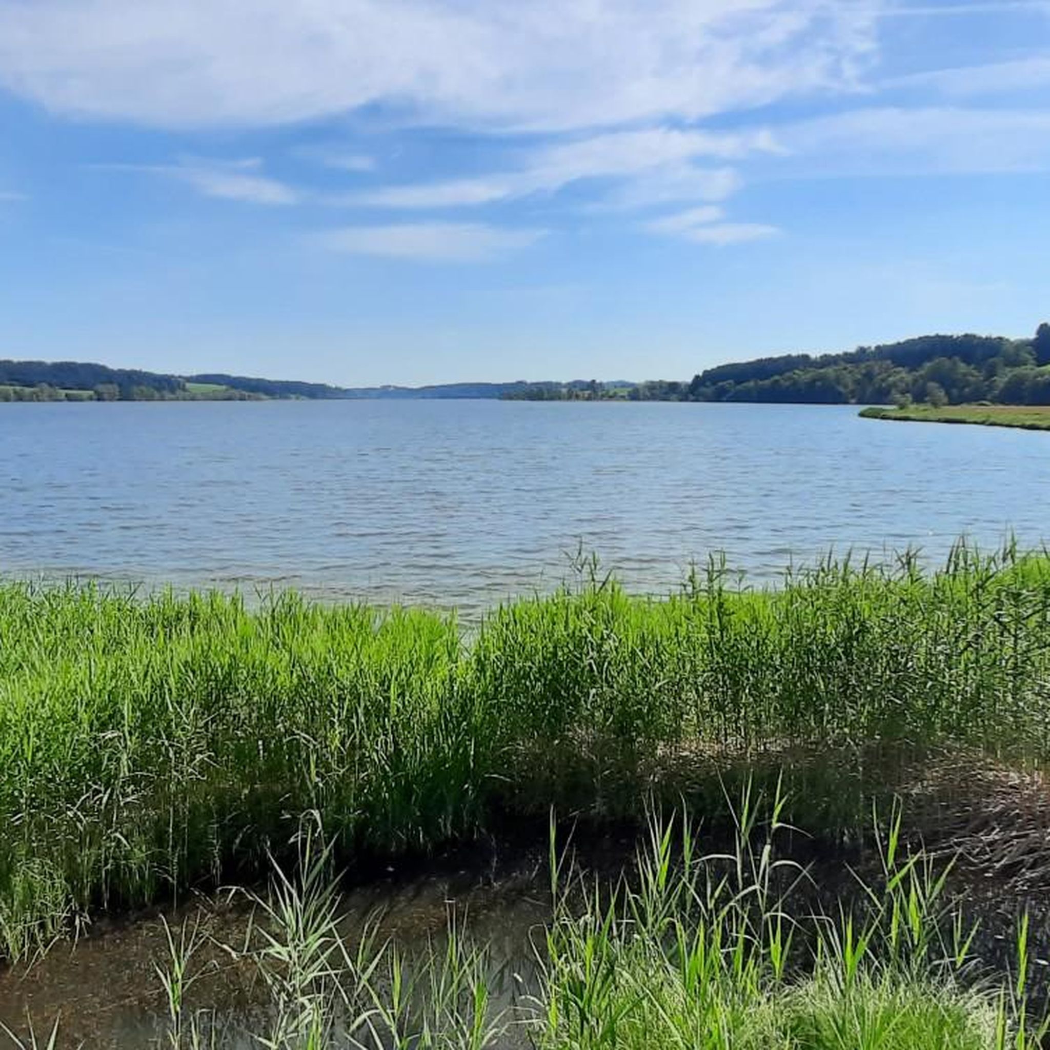
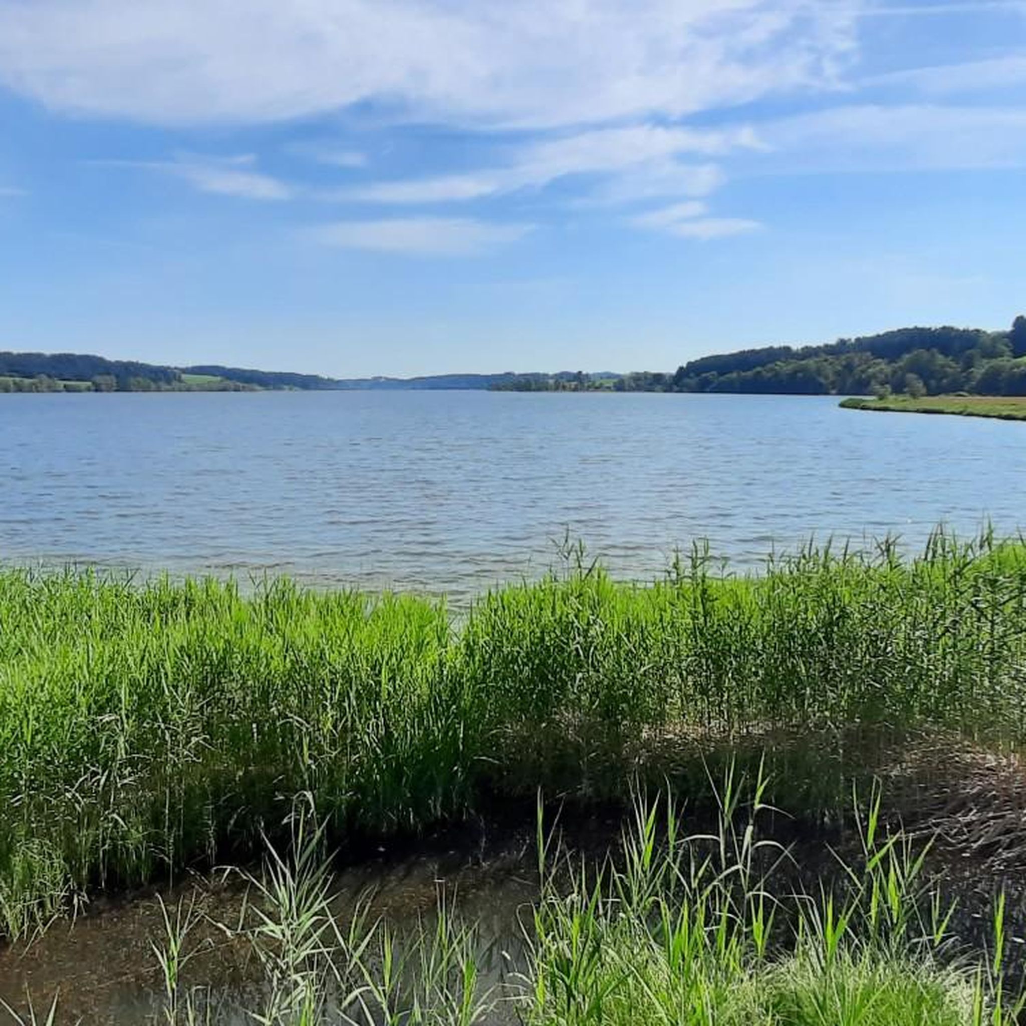
Tips from the Community

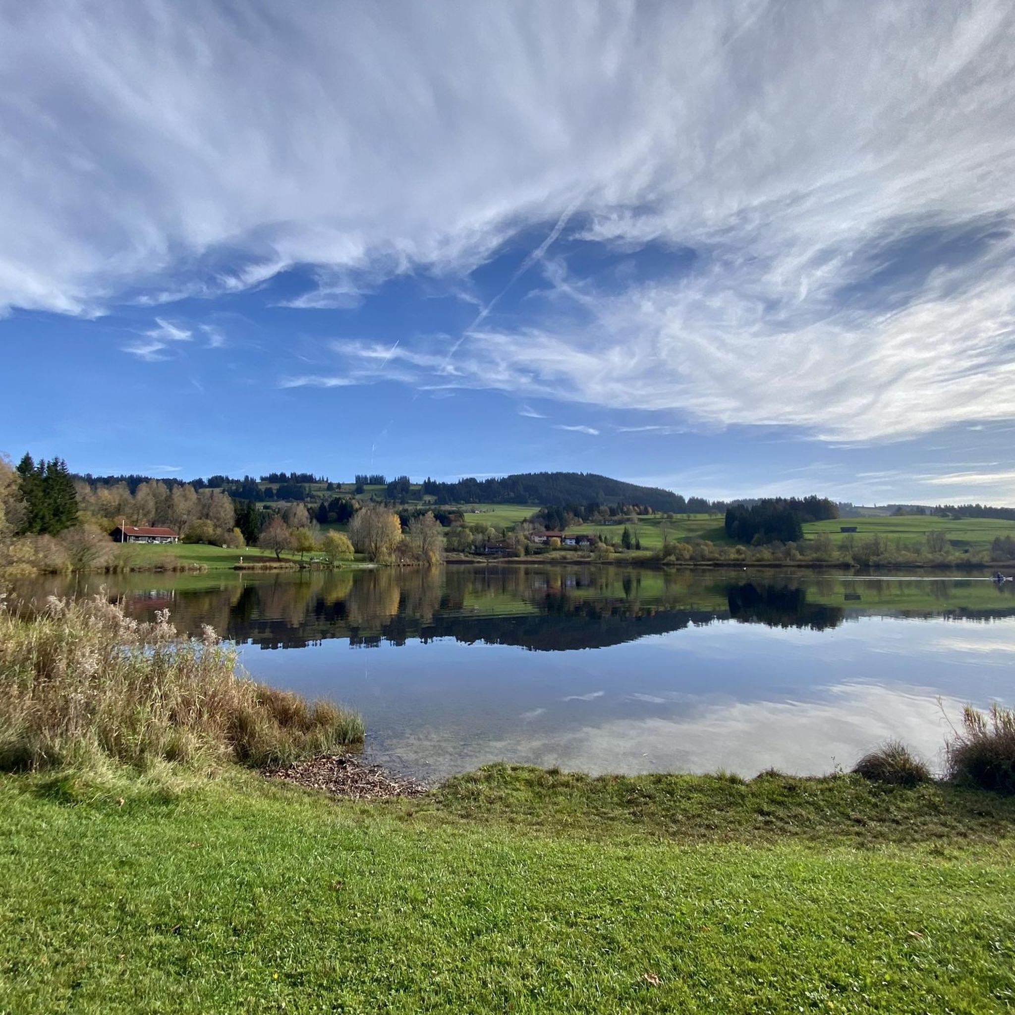
"Fountain 80" is a small, quiet place that invites you to linger.
0
0

Grünten is always a good choice :-)
0
0

This is what it can look like on the Grünten 👻👻 - and this also has its charm
0
0

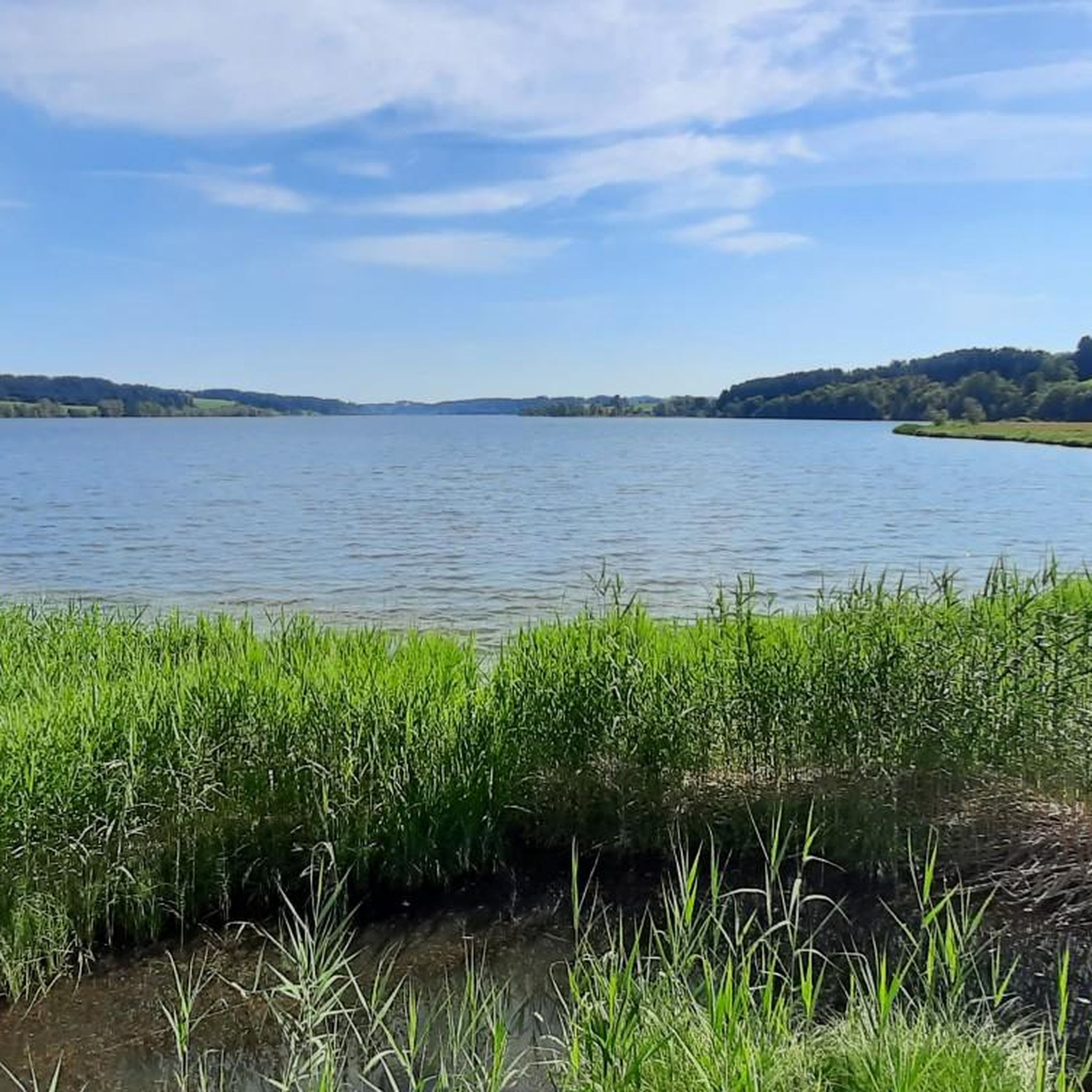
The reservoir was completed in 1962 and is used for flood protection and power generation. The Grüntensee and some areas of its shores are also used as recreational areas. On the north shore of the Grüntensee is the Kletterwald Grüntensee (a high ropes course). The lake was named after the Grünten mountain, which is about 11 kilometers southwest and is a striking feature on the northern edge of the Allgäu Alps. Source: https://de.wikipedia.org/wiki/Gr%C3%BCntensee
1
0
The path from the Obere Reuterwanne Alp up to the summit runs across the alp's treeless mountain pasture. This guarantees a magnificent view to the southwest. And encounters with the pasture's users, namely the cows, are inevitable.
1
0
From the Alpe Obere Reuterwanne a meadow path leads directly to the summit of the Reuterwanne.
1
0
Directly below the summit, a beautiful steep path on the north ridge of the Reuterwanne.
1
0

Frequently Asked Questions
How many mountaineering routes are available around Rottachsee?
There are over 50 mountaineering routes available around Rottachsee, offering a wide range of experiences from moderate ascents to more challenging alpine trails. These routes explore the diverse landscapes of the Allgäu region.
What kind of terrain and landscapes can I expect on mountaineering routes near Rottachsee?
Mountaineering routes near Rottachsee offer a varied landscape. Close to the lake, you'll find more moderate, gently hilly terrain and meadows. As you venture into the broader Allgäu Alps, you can expect more challenging alpine experiences, characterized by open landscapes, wide views, and an impressive alpine panorama. The region is known for its clear lake and significant dam.
Are there any family-friendly mountaineering routes around Rottachsee?
While many mountaineering routes in the broader Allgäu region can be quite demanding, there are options suitable for families. The immediate vicinity of Rottachsee offers more moderate trails. For example, the Old Salt Road – Alpe Müllers Berg loop from Greifenmühle is a moderate route that explores historical paths and offers pleasant views, making it a good option for those looking for a less strenuous experience.
What are the difficulty levels of mountaineering routes in the Rottachsee area?
The mountaineering routes around Rottachsee and in the surrounding Allgäu Alps cater to various skill levels. You'll find a good mix, with 30 moderate routes and 19 difficult routes. Harder routes, corresponding to SAC 4–6 on the Swiss Alpine Club scale, require good fitness, sure-footedness, sturdy shoes, and alpine experience.
What do other mountaineers enjoy most about the routes in Rottachsee?
The mountaineering routes around Rottachsee are highly rated by the komoot community, with an average score of 4.8 stars from over 260 reviews. Mountaineers often praise the diverse terrain, the extensive views of the Allgäu mountains, and the opportunity to explore both gentle lake-side paths and more challenging alpine ascents.
Are there any circular mountaineering routes available?
Yes, many mountaineering routes in the region are designed as loops, allowing you to start and end at the same point. For instance, the challenging Jäger memorial on Grünten – Grüntenspitze and Jägerdenkmal loop from Abzw. Brosisellegg takes you to the Grüntenspitze, offering extensive views. Another popular circular option is the Reuterwanne Summit – Reuterwanne Peak loop from Wertach.
What are some of the more challenging mountaineering routes near Rottachsee?
For experienced mountaineers seeking a challenge, routes like the Jäger memorial on Grünten – Grüntenspitze and Jägerdenkmal loop from Abzw. Brosisellegg offer significant ascents and extensive views. Another demanding option is the Jäger memorial on Grünten – Grüntenspitze and Jägerdenkmal loop from Untere Bichler Alpe, which also leads to the Grüntenspitze. These routes require good fitness and alpine experience.
What can I see along the mountaineering routes around Rottachsee?
Beyond the stunning mountain views, you can discover several points of interest. The routes often pass by the beautiful Lake Rottach itself, and you might encounter the Eastern shore of the Rottachsee. There's also a Rottachsee Information Board providing insights into the area. For a break, you could visit the Kiosk at Bisseroysee.
What is the best season for mountaineering around Rottachsee?
The best season for mountaineering around Rottachsee generally spans from late spring to early autumn, when the weather is more stable and trails are clear of snow. However, the Allgäu region offers diverse experiences year-round. While the lake area is suitable for gentler activities, winter mountaineering in the higher Allgäu Alps requires specific gear and knowledge of conditions.
Are there any routes that offer particularly good views of the Allgäu Alps?
Absolutely. Many routes are renowned for their panoramic vistas. The Jäger memorial on Grünten – Grüntenspitze and Jägerdenkmal loop from Abzw. Brosisellegg, for example, ascends to the Grüntenspitze, providing extensive views of the Allgäu mountains. Similarly, the Grünten Lift Station – View of the Allgäu Alps loop from Untere Bichler Alpe is specifically highlighted for its views of the Allgäu Alps.
How can I access mountaineering routes around Rottachsee by public transport?
While specific public transport details for every trailhead are not provided, the Allgäu region generally has bus connections to various villages. For routes closer to the lake, such as those near Petersthal or Moosbach, local buses might offer access. For routes deeper in the Alps, public transport options might be more limited, and checking local bus schedules for specific trailheads is recommended.
Most popular routes around Rottachsee
Most popular attractions around Rottachsee

Get inspired with the komoot mobile app


Explore more
Browse the best Mountain Hikes & Routes in other regions.
