Things to Do around Rettenberg
Rettenberg is a municipality in the Oberallgäu district of Bavaria, Germany, characterized by its scenic landscape of majestic mountains and lush green meadows. The region is embedded in the Allgäu Alps, featuring prominent natural elements like the Grünten mountain, the Rottachberg massif, and the Rottach reservoir. This diverse terrain, with wide forest and meadow paths alongside narrower trails, provides varied settings for several sports like hiking, mountain biking, road cycling, touring cycling, and more.
Things to Do in Rettenberg
Rettenberg…
177
Routes
4.6
(3784)
Average rating
24588
People visited

4.8
(45)
158
hikers
10.2km
05:05
900m
950m
Hard hike. Very good fitness required. Sure-footedness, sturdy shoes and alpine experience required.
4.7
(675)
3,365
hikers
6.48km
03:13
590m
590m
Hard hike. Good fitness required. Sure-footedness, sturdy shoes and alpine experience required.
4.7
(287)
1,437
hikers
12.4km
05:25
880m
880m
Hard hike. Very good fitness required. Mostly walkable paths. Sure-footedness required.
4.7
(216)
736
hikers
12.3km
05:05
820m
820m
Hard hike. Very good fitness required. Sure-footedness, sturdy shoes and alpine experience required.
Get access to more routes and recommendations from other explorers.
Already have an account?
4.6
(91)
2,310
riders
47.1km
02:17
670m
670m
Moderate road ride. Good fitness required. Mostly well-paved surfaces and easy to ride.
4.7
(155)
2,468
riders
72.0km
03:21
890m
890m
Moderate road ride. Good fitness required. Mostly well-paved surfaces and easy to ride.
5.0
(2)
132
riders
Hard road ride. Very good fitness required. Mostly well-paved surfaces and easy to ride.
5.0
(10)
146
riders
30.5km
01:44
680m
680m
Moderate road ride. Good fitness required. Mostly well-paved surfaces and easy to ride.
Get access to more routes and recommendations from other explorers.
Already have an account?
4.5
(54)
351
riders
22.5km
01:39
500m
500m
Hard bike ride. Very good fitness required. Mostly paved surfaces.
4.3
(14)
205
riders
Moderate bike ride. Good fitness required. Mostly paved surfaces.
4.5
(10)
166
riders
13.2km
00:49
130m
130m
Easy bike ride. Mostly paved surfaces.
4.7
(49)
255
riders
60.3km
04:04
910m
910m
Hard bike ride. Very good fitness required. Mostly paved surfaces.
Get access to more routes and recommendations from other explorers.
Already have an account?
4.7
(85)
226
riders
30.2km
02:31
870m
870m
Moderate mountain bike ride. Good fitness required. Advanced riding skills necessary.
4.8
(33)
124
riders
30.3km
02:30
790m
790m
Hard mountain bike ride. Good fitness required. Advanced riding skills necessary. Some portions of the route may require you to push your bike.
4.8
(76)
364
riders
38.1km
03:12
990m
990m
Hard mountain bike ride. Very good fitness required. Advanced riding skills necessary.
4.7
(14)
75
riders
13.5km
01:28
670m
670m
Moderate mountain bike ride. Good fitness required.
Get access to more routes and recommendations from other explorers.
Already have an account?
4.6
(34)
280
hikers
7.56km
03:56
720m
720m
Hard mountaineering route. Good fitness required. Sure-footedness, sturdy shoes and alpine experience required.
4.8
(31)
230
hikers
11.6km
05:30
930m
930m
Hard mountaineering route. Very good fitness required. Sure-footedness, sturdy shoes and alpine experience required.
4.8
(5)
63
hikers
9.67km
04:58
910m
910m
Hard mountaineering route. Very good fitness required. Sure-footedness, sturdy shoes and alpine experience required.
5.0
(5)
44
hikers
6.34km
02:21
410m
410m
Moderate mountaineering route. Good fitness required. Easily walkable paths.
Get access to more routes and recommendations from other explorers.
Already have an account?
5.0
(2)
85
runners
14.9km
01:35
130m
130m
Moderate run. Good fitness required. Mostly paved surfaces.
57
runners
9.86km
01:29
460m
460m
Hard run. Very good fitness required. Sure-footedness, sturdy shoes and alpine experience required.
5.0
(10)
48
runners
Hard run. Good fitness required. Sure-footedness, sturdy shoes and alpine experience required.
5.0
(4)
46
runners
8.19km
00:54
140m
140m
Moderate run. Good fitness required. Mostly paved surfaces.
Get access to more routes and recommendations from other explorers.
Already have an account?
4.8
(16)
142
riders
71.9km
04:39
1,440m
1,440m
Hard gravel ride. Very good fitness required. Mostly paved surfaces.
4.8
(9)
73
riders
53.5km
03:05
700m
700m
Hard gravel ride. Very good fitness required. Mostly paved surfaces.
4.5
(4)
47
riders
43.8km
02:48
470m
470m
Hard gravel ride. Very good fitness required. Mostly paved surfaces.
4.4
(5)
43
riders
47.0km
02:54
710m
710m
Hard gravel ride. Very good fitness required. Mostly paved surfaces.
Get access to more routes and recommendations from other explorers.
Already have an account?
Top attractions in the region
Explore the region
Most popular attractions in Rettenberg
Collections


Nearby adventure guides
Natural areas to explore nearby
Frequently asked questions
What outdoor activities are available in Rettenberg?
Rettenberg offers a variety of outdoor activities including hiking, mountain biking, road cycling, touring cycling, jogging, and mountaineering. The region features diverse terrain suitable for various skill levels.
Where can I find hiking trails in Rettenberg?
Rettenberg offers 156 hiking routes, ranging from easy paths to more challenging mountain trails. Detailed information can be found in the Hiking around Rettenberg guide.
Are there mountain biking trails in Rettenberg?
Yes, Rettenberg is known for its mountain biking opportunities, with 83 routes available. The MTB Trails around Rettenberg guide provides further details on routes, including those around the Rottachberg massif.
What cycling routes are available in Rettenberg?
Rettenberg offers routes for road cycling and touring cycling, with 17 road cycling and 57 touring cycling routes. Guides like Road Cycling Routes around Rettenberg and Cycling around Rettenberg provide comprehensive information.
Does Rettenberg offer routes for beginners or families?
Rettenberg's diverse terrain includes wide forest and meadow paths, suitable for various skill levels, including easier options. Specific family-friendly routes can be found by filtering for difficulty on komoot.
What natural features or landmarks can be found in Rettenberg?
Rettenberg features natural elements such as the Grünten mountain, the Rottachberg massif, and the Rottach reservoir. The area also includes various viewpoints, trails, and huts.
How popular is Rettenberg for outdoor activities on komoot?
Rettenberg has more than 400 routes available, with over 41,000 visitors sharing their experiences. Routes in the region have an average rating of 4.6 out of 5 stars.
Are there specific komoot guides for Rettenberg?
Yes, komoot offers several guides for Rettenberg, including Hiking around Rettenberg, MTB Trails around Rettenberg, and Road Cycling Routes around Rettenberg. Other guides cover jogging, mountaineering, and gravel biking.
What is the official website for Rettenberg?
The official website for the municipality of Rettenberg is www.gemeinde-rettenberg.de. This site provides general information about the area.
How can I contact the Rettenberg municipal administration or tourist information?
For inquiries, the Rettenberg municipal administration can be reached at +49 (0) 8327 920-0. For tourist information, contact Touristinfo Rettenberg at +49 (0) 8327 920-40.
Are there options for mountaineering in Rettenberg?
Yes, Rettenberg offers 26 routes specifically for mountaineering. The Mountain Hikes around Rettenberg guide provides more information on these routes.
What types of paths can be expected on trails in Rettenberg?
Trails in Rettenberg feature a mix of wide forest and meadow paths, alongside narrower trails. This diversity caters to different preferences and activity types.
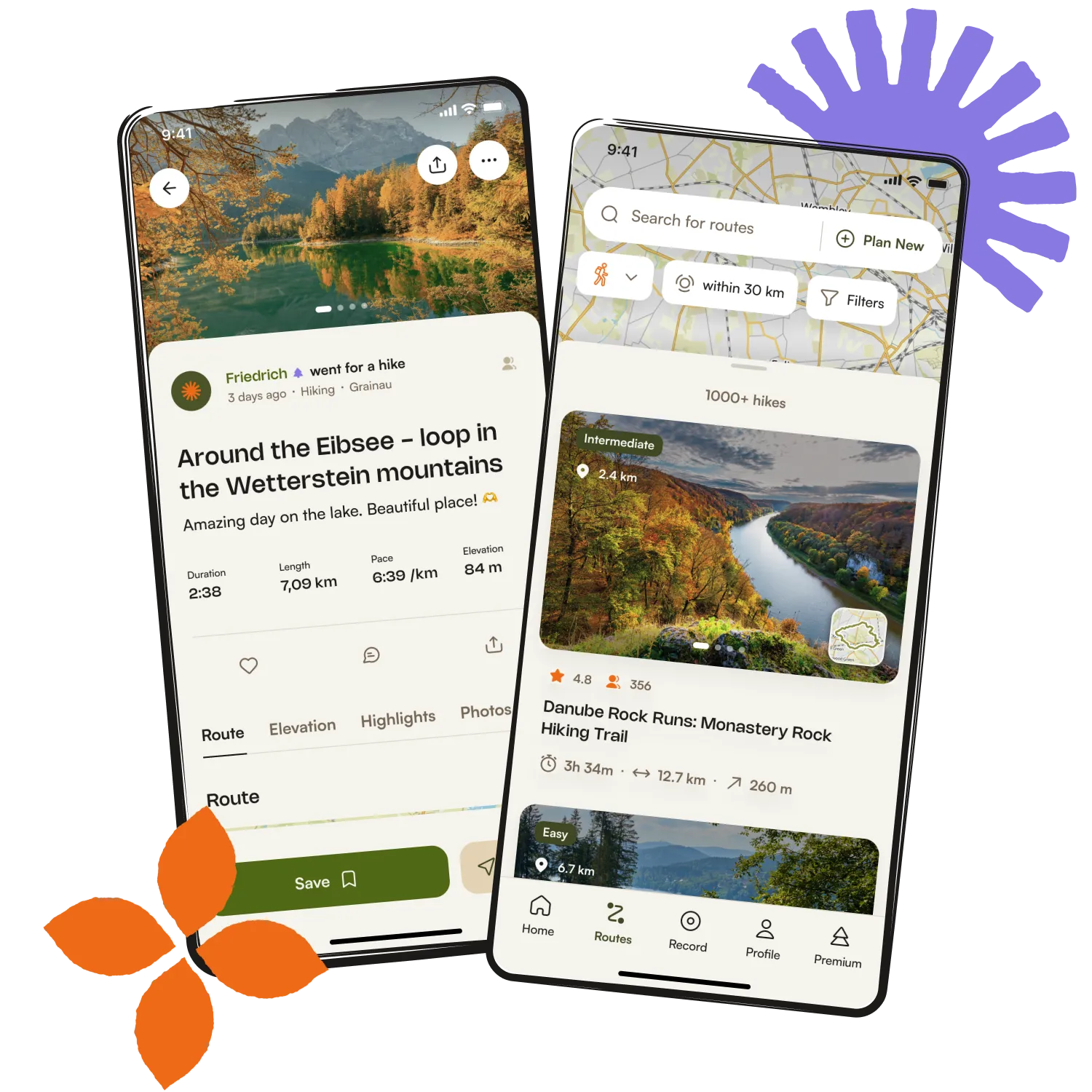
Get inspired with the komoot mobile app

