The best road cycling routes around Schalkenmehrener Maar
4.6
(162)
2,150
riders
146
rides
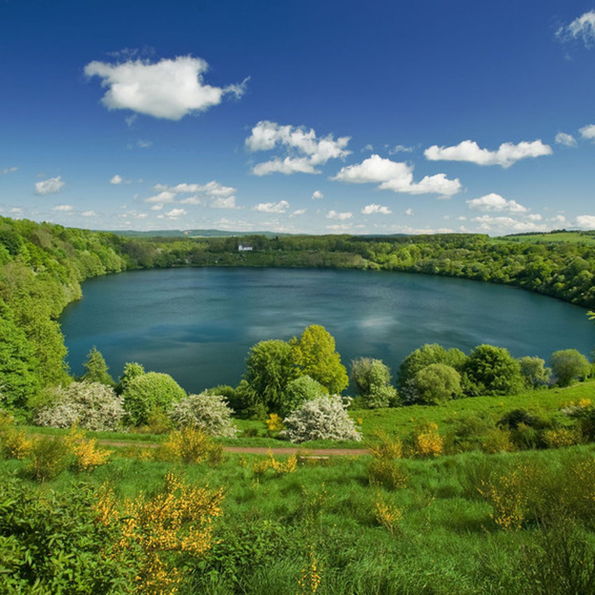
Road cycling around Schalkenmehrener Maar offers routes through the distinctive volcanic landscape of the Volcanic Eifel region in Germany. The area is characterized by its maars, which are circular lakes formed by volcanic eruptions, surrounded by wooded slopes. Cyclists will encounter a varied terrain of gently rolling hills, lush forests, and open fields, providing diverse riding experiences. The region's geological history includes numerous volcanic cones and lava streams, contributing to its unique features.
Best road cycling routes around Schalkenmehrener Maar
- The most popular road cycling route is Strohner Lava Bomb – Pulvermaar loop from Schalkenmehren, a 29.4 miles (47.3 km) trail that takes 2 hours 26 minutes to complete. This moderate route explores the volcanic features of the Eifel.
- Another top favourite among local road cyclists is Mosel-Maare Cycle Path – Maare-Moselle Cycle Path loop from Schalkenmehren, a difficult 38.8 miles (62.4 km) path. This route incorporates sections of the well-known Maare-Mosel Cycle Path.
- Local road cyclists also love the Kyllburg Riverside – Maare-Moselle Cycle Path loop from Schalkenmehren, a 66.7 miles (107.4 km) trail leading through varied Eifel landscapes, often completed in about 5 hours 31 minutes.
- Road cycling around Schalkenmehrener Maar is defined by volcanic maars, rolling hills, and dense forests. The network offers options for different ability levels, from moderate loops to more challenging long-distance routes.
- The routes in Schalkenmehrener Maar are highly rated by the komoot community with an average score of 4.6 stars from over 100 reviews. More than 2000 road cyclists have used komoot to explore Schalkenmehrener Maar's varied terrain.
Last updated: July 10, 2026
4.8
(12)
195
riders
Moderate road ride. Good fitness required. Some segments of this route may be unpaved and difficult to ride.
4.3
(6)
36
riders
Moderate road ride. Good fitness required. Some segments of this route may be unpaved and difficult to ride.

Sign up for free
5.0
(2)
17
riders
Moderate road ride. Good fitness required. Some segments of this route may be unpaved and difficult to ride.
11
riders
62.8km
03:18
1,140m
1,140m
Hard road ride. Very good fitness required. Some segments of this route may be unpaved and difficult to ride.
13
riders
57.1km
02:50
810m
810m
Moderate road ride. Good fitness required. Some segments of this route may be unpaved and difficult to ride.
Get access to more routes and recommendations from other explorers.
Sign up for free
Already have an account?
Our route recommendations are based on thousands of hikes, rides, and runs completed by other people on komoot.
Start today with a free account
Your next adventure awaits.
Login or Signup
Tips from the Community

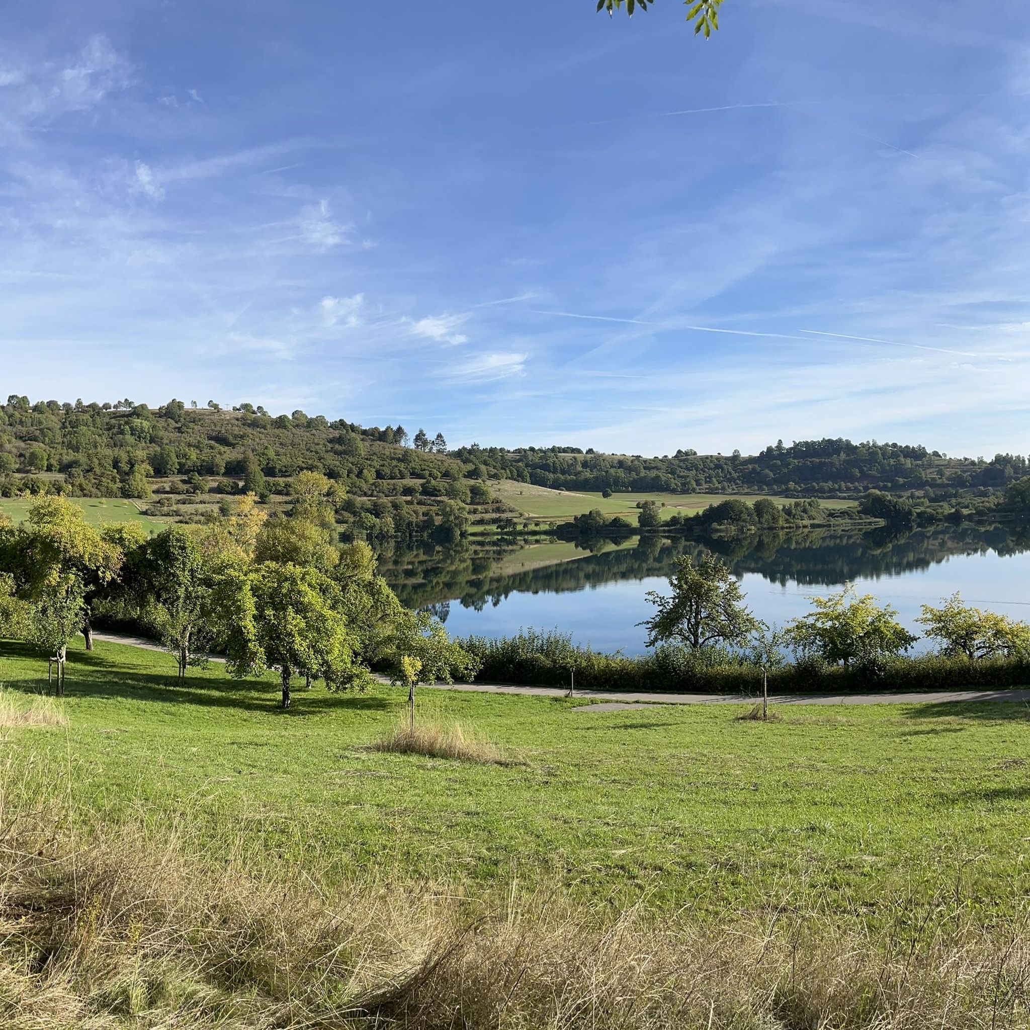
The Mosel-Maare cycle path is very beautiful and scenically varied. Will repeat this! There is also a cycle bus which you can use to get to Daun, for example, and then ride towards the Moselle (Lieser).
0
0

Very good surface, lots of deciduous forest
0
0

"Old Station" Schalkenmehren Passenger service between Daun and Wittlich was discontinued on November 1, 1981. Schalkenmehren. Approaching the Old Station in Schalkenmehren on the former railway line, today's Maare-Mosel cycle path, and seeing the station building, it's hard to believe that it was opened as a fourth-class railway station exactly 100 years ago. But how did it all begin 100 years ago? Surveying for the Daun-Wittlich railway line began as early as 1897. General preparatory work for the single-track line began in 1907. But it would take some time before the Daun-Schalkenmehren-Gillenfeld section opened on December 1, 1909, with the line running over the 28-meter-high Daun viaduct and through the 560-meter-long Schalkenmehren railway tunnel, "Großes Schlitzohr" (Great Sly Fox). The extension from Gillenfeld to Manderscheid to Pantenburg was completed on May 1, 1910, and the extension from Manderscheid-Pantenburg to Wittlich, signifying the completion of the entire line, was completed on July 1, 1910. The completion of the Daun-Wittlich railway line brought rapid development to the village of Schalkenmehren. In the first year of the line's existence (1910), 18,968 tickets were sold in Schalkenmehren, followed by 25,057 in 1913, 27,969 in 1919, and even 30,279 in 1922. In addition, Schalkenmehren station was designed for general cargo traffic and the receipt and dispatch of wagonloads. Text / Source: www.volksfreund.de/ https://www.volksfreund.de/region/vulkaneifel/ein-schmuckstueck-fuer-nostalgiker_aid-5712448
13
0

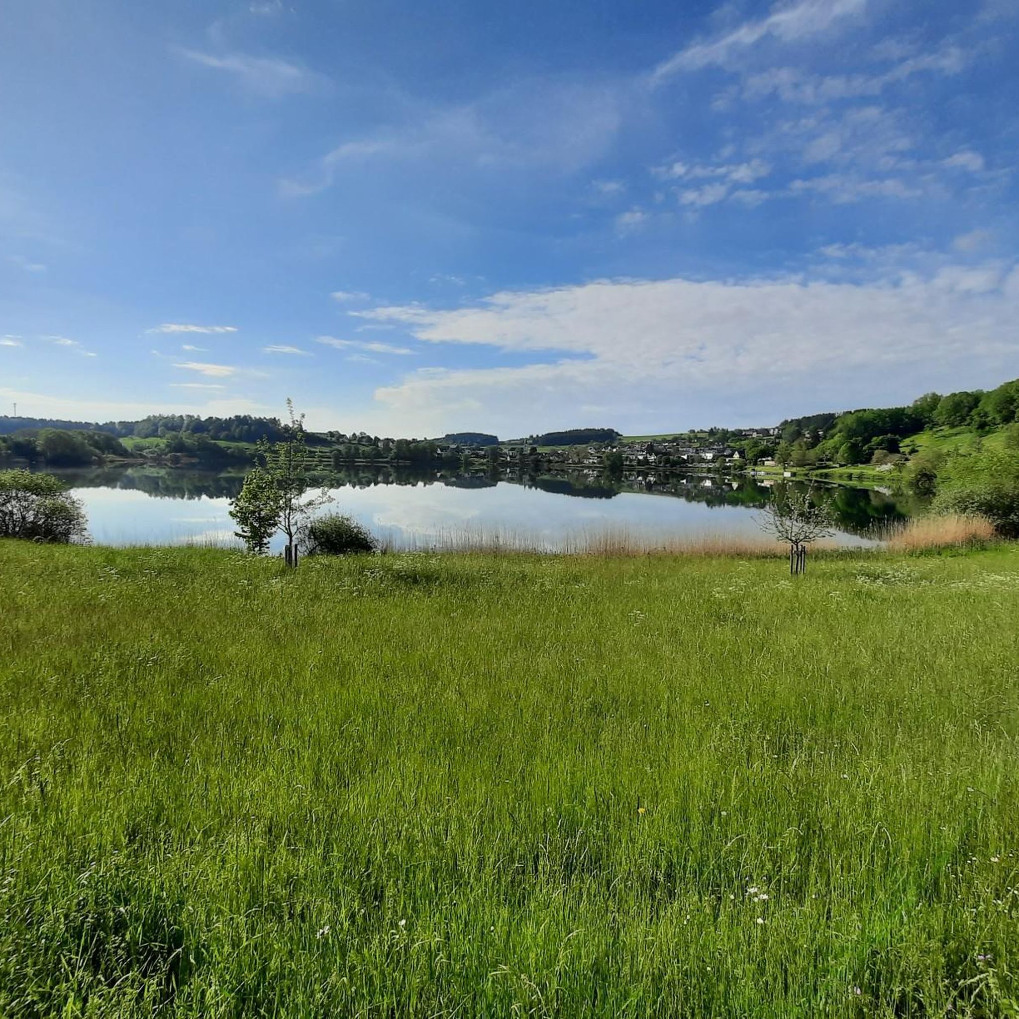
The Maare-Mosel cycle path is a real highlight - especially with the impressive viaducts and the former railway tunnels, which bring a touch of adventure to the tour. The path leads through beautiful landscapes, and a short break at the rest area near Gillenfeld is ideal for recharging your batteries and enjoying nature. This stop is perfect for relaxing and enjoying the view over the Eifel before continuing on. A highly recommended cycle path that combines nature and a piece of railway history!
1
0

Cozy spa town and start of two hikes
0
0

In the beautiful Alfbach valley, about 1.5 km east of Mückeln, the vanished village of Schutzalf was located until the end of the 19th century. The former hamlet, consisting of three or four houses and a chapel with a brother's apartment, was located between the Sprinker Hof and the Sprinker Mühle, both of which were owned by the Augustinian monastery of Springiersbach, which was founded at the beginning of the 12th century. Schutzalf served as a place of pilgrimage at the time, and a fragment of the cross was kept in its chapel. The year 1545 is said to have been inscribed above the entrance to the chapel. According to oral tradition, the remains of the altar stones from the Schutzalf chapel can still be found on a meadow by the Alfbach. Schutzalf also included the former monastery pond, located 600 m west of it, which the local community of Mückeln transformed into a unique wetland biotope. For many years, to be precise since Schutzalf was abandoned after the death of the last resident in 1882, the stones in the meadow were the only thing that reminded people of the vanished place.
2
0

A nice opportunity to take a break, always great when there are enough options.
1
0
It's very easy to ride. A real pleasure, especially uphill.
2
0
Frequently Asked Questions
What kind of terrain can I expect when road cycling around Schalkenmehrener Maar?
The region offers a diverse road cycling experience, characterized by the distinctive volcanic landscape of the Volcanic Eifel. You'll encounter a mix of gently rolling hills, lush forests, and open fields. The geological history means varied terrain, from paths around the maars to routes with more challenging ascents, catering to different fitness levels.
Are there road cycling routes suitable for beginners or those looking for an easier ride?
Yes, the area provides options for various ability levels. While many routes feature rolling hills, there are easier sections and paths. For instance, the Strohner Lava Bomb – Pulvermaar loop from Schalkenmehren is rated as moderate, offering a good balance for many riders. The broader region also includes parts of the largely easy and family-friendly Maare-Mosel Cycle Path.
What are some challenging road cycling routes in the Schalkenmehrener Maar area?
For experienced road cyclists seeking a challenge, routes like the Mosel-Maare Cycle Path – Maare-Moselle Cycle Path loop from Schalkenmehren and the Kyllburg Riverside – Maare-Moselle Cycle Path loop from Schalkenmehren are rated as difficult. These routes feature significant elevation gains and longer distances, providing a demanding ride through the Eifel landscapes.
What do other road cyclists enjoy most about cycling in Schalkenmehrener Maar?
The road cycling routes around Schalkenmehrener Maar are highly rated by the komoot community, with an average score of 4.6 stars from over 100 reviews. Cyclists often praise the stunning volcanic landscapes, the scenic beauty of the maars, and the varied terrain that keeps rides engaging. The well-maintained paths and the opportunity to explore unique geological features are frequently highlighted.
Are there any circular road cycling routes around Schalkenmehrener Maar?
Yes, many of the routes are designed as loops, allowing you to start and end in the same location. Examples include the Strohner Lava Bomb – Pulvermaar loop from Schalkenmehren and the Dandelion fields – Kehlberg Swing loop from Schalkenmehren. A well-maintained cycle path also directly encircles the Schalkenmehrener Maar itself, offering continuous beautiful views.
What natural features or landmarks can I see along the road cycling routes?
The routes offer views of the distinctive volcanic landscape, including the maars (circular lakes formed by volcanic eruptions) and wooded slopes. You can also discover unique points of interest such as the Konrad Scholzen Chainsaw Wood Sculptures directly on the maar's shore. The broader Volcanic Eifel region features numerous volcanic cones, lava streams, and natural mineral springs, locally known as 'Dreese'.
Is it possible to find food and drink options along the cycling routes?
Yes, there are local establishments that cater to cyclists. For example, Café Maarblick in Schalkenmehren is conveniently located near cycling routes and offers a resting spot. The village shop, Village Shop Maaritimes, also provides facilities for visitors.
What is the best time of year for road cycling around Schalkenmehrener Maar?
The region is generally pleasant for road cycling from spring through autumn. During these seasons, the weather is typically mild, and the natural landscapes are at their most vibrant. While winter cycling is possible, conditions can be more challenging due to colder temperatures and potential for ice or snow.
Are there family-friendly road cycling options in the area?
Yes, the region offers routes suitable for families. The Maare-Mosel Cycle Path, which is accessible from the area, is known for being largely easy and family-friendly. Many of the local routes also feature gently rolling hills and well-maintained paths, making them enjoyable for cyclists of varying ages and abilities.
Where can I park my car when starting a road cycling tour?
Parking is generally available in and around Schalkenmehren, the main starting point for many routes. Look for designated parking areas within the village or near popular trailheads. Specific parking information can often be found on local tourism websites or detailed route descriptions.
Can I access the road cycling routes using public transport?
The Volcanic Eifel region has public transport options, though their frequency might vary. Daun, a larger town near Schalkenmehrener Maar, serves as a hub and is often connected by bus services. From Daun, it may be possible to reach Schalkenmehren or other starting points for cycling routes. It's advisable to check local bus schedules in advance.
Are there any specific cycling permits required for road biking in the Eifel region?
Generally, no specific permits are required for road cycling on public roads and designated cycle paths in the Eifel region. However, always respect local regulations, private property, and nature conservation areas. Stick to marked routes and paths to ensure a smooth and enjoyable ride.
Most popular routes around Schalkenmehrener Maar
Most popular attractions around Schalkenmehrener Maar

Get inspired with the komoot mobile app


Explore more
Browse the best Road cycling routes in other regions.
