The best running trails in White Mountain National Forest
4.5
(2)
664
runners
140
runs
Jogging routes in White Mountain National Forest traverse a diverse landscape characterized by dense hardwood forests, alpine peaks, and numerous mountain lakes and streams. The region offers over 1,100 miles of trails, providing varied terrain for running. Runners can find paths ranging from mostly paved surfaces to rugged, steep, and technical routes. Elevation gains vary significantly across the forest's extensive trail network.
Best jogging routes in White Mountain National Forest
- The most popular jogging route is Presidential Traverse trail run, a 34.6 miles (55.7 km) trail that takes about 9 hours 52 minutes to complete. This challenging long-distance route features significant elevation gain across multiple peaks.
- Another top favourite among local runners is Tuckerman Ravine and Lion's Head Trail Loop, a difficult 8.0 miles (12.9 km) path. This route offers rugged terrain with notable elevation changes and scenic views.
- Local runners also love the Hancock Loop Trail, a 9.1 miles (14.7 km) trail leading through dense forests and offering mountain views, often completed in about 2 hours 3 minutes.
- Jogging in White Mountain National Forest is defined by dense hardwood forests, majestic alpine peaks, and crystal-clear mountain lakes and streams. The extensive trail network offers options for various ability levels, from accessible paths to rugged, technical terrain.
- The routes in White Mountain National Forest are highly rated by the komoot community with an average score of 4.5 stars from 2 reviews. More than 800 runners have used komoot to explore White Mountain National Forest's varied terrain.
Last updated: July 7, 2026
45
runners
55.7km
09:53
3,460m
3,460m
Prepare for a demanding jogging adventure on the Presidential Traverse, a difficult route spanning 34.6 miles (55.7 km) with an impressive 11360 feet (3462 metres) of elevation gain. You will spend an estimated 9 hours and 52 minutes navigating dramatic alpine ridges and experiencing expansive views across the White Mountains. Much of the trail runs above the treeline, offering prolonged vistas, and you will summit numerous peaks, including the iconic Mount Washington Summit.
Planning your visit requires careful attention to the highly unpredictable weather, which can be severe even in summer. Because you will be exposed above the treeline for extended periods, you must carry essential emergency gear and know your bail-out routes. This route demands a high degree of preparedness for its rugged and technical terrain, so check conditions thoroughly before you go.
The Presidential Traverse is recognized as one of New England's most challenging endurance tests, featuring the most prolonged continuous stretch of above-treeline running in the Eastern United States. This iconic adventure offers a significant physical and mental test, making it a notable achievement for any trail runner. You will encounter a unique environment where the weather shapes the landscape and the experience.
34
runners
12.9km
02:39
1,260m
1,260m
The Tuckerman Ravine and Lion's Head Trail Loop offers a difficult and rugged jogging experience through varied alpine scenery. You'll begin with a gradual climb before the path steepens considerably beyond Crystal Cascade, often requiring bouldering and rock scrambling. This 8.0-mile (12.9 km) loop features 4126 feet (1258 metres) of elevation gain, with an estimated duration of 2 hours and 39 minutes for those attempting to jog it.
Prepare for a challenging outing that demands sturdy shoes and sure-footedness; continuous jogging is largely impractical due to the technical nature of the path. While rated for jogging, many experienced individuals tackle this route as a strenuous hike, which typically takes around 5 to 7 hours. Plan your visit accordingly, ensuring you have the necessary fitness and alpine experience.
This loop is set within the White Mountain National Forest, guiding you past Hermit Lake, an alpine lake at the base of the iconic Tuckerman Ravine. You'll also ascend to the distinctive sheer rock peak of Lion's Head, and from the summit of Mount Washington, you can enjoy unparalleled 360-degree views. It's a notable route for its demanding character and spectacular high-alpine environment.

Sign up for free
21
runners
14.7km
02:03
730m
730m
Prepare for a challenging jogging experience on the Hancock Loop Trail, a difficult route covering 9.1 miles (14.7 km). You will encounter varied terrain, beginning with a relatively flat section along the scenic North Fork of the Hancock Branch of the Pemigewasset River. As you ascend, the path becomes steeper and rockier, leading you towards the summits of North and South Hancock. This strenuous workout involves gaining 2379 feet (725 metres) in elevation, typically taking around 2 hours and 3 minutes to complete. From the South Peak, you can enjoy expansive views to the east, while the North Peak offers vistas south towards the Sandwich Range, providing a true sense of wilderness.
To begin your journey, head to the Hancock Overlook, which serves as the starting point for the loop and is conveniently located on the Kancamagus Highway. It is advisable to plan your visit when water levels are low, as the trail features numerous brook crossings that can become challenging. While the trail is accessible for much of the year, it is particularly recommended for fall foliage excursions when the surrounding landscape is vibrant with color.
This route offers a deep immersion into the White Mountain National Forest, showcasing its rugged beauty and diverse ecosystems. The progression from riverside paths to exposed mountain peaks highlights the region's dramatic geological features. The Hancock Loop Trail stands out as an excellent option if you are seeking a demanding workout combined with the serene solitude of a true wilderness setting.
19
runners
8.19km
01:28
610m
610m
Embark on the Moat Mountain Trail, a difficult jogging route spanning 5.1 miles (8.2 km) with a significant elevation gain of 1986 feet (605 metres). This challenging path, estimated to take 1 hours and 28 minutes, leads you through varied terrain including wooded sections, rocky ascents, and open ledges. Your reward is the open, rocky summit of South Moat Mountain, offering expansive 360-degree panoramic views across the White Mountain National Forest, including Mount Washington and the Presidential Range.
When planning your visit, be prepared for sustained elevation gain and steep climbs over rocky and exposed sections. Some parts of the trail might require rock scrambling, and stream crossings can make the path wet, so wearing appropriate footwear is essential. While the northern half of the traverse is generally more runnable, always use caution on technical sections, especially when rocks are wet.
This route is ideal if you are an experienced trail runner seeking a substantial challenge within the White Mountain National Forest. The diverse environment and the rewarding summit views make it a notable option for those looking to push their limits and experience the rugged beauty of the region.
13
runners
10.7km
01:19
100m
100m
The Lincoln Woods Trail offers a delightful jogging experience through the White Mountain National Forest, tracing an old railroad grade alongside the East Branch of the Pemigewasset River. You'll cross a charming suspension bridge at the start, then enjoy continuous riverside views and occasional mountain glimpses, including Mount Bond, as you head into the Pemigewasset Wilderness. The terrain is generally smooth and easy, making it a perfect moderate 6.6-mile (10.7 km) route with just 321 feet (98 metres) of elevation gain.
Planning your visit is straightforward, with a large parking lot, ranger station, and flush bathrooms at the trailhead. Remember that a $5 recreation fee or a White Mountain National Forest Yearly Parking Pass is required. The trail is popular year-round; in winter, it's still accessible due to packed snow, though microspikes are a good idea for the 1 hour and 18 minutes it takes to complete.
This trail is steeped in history, following the former East Branch & Lincoln Railroad, a logging line that operated until 1948. You might even spot remnants of old logging camps along the way. It also serves as a gateway to other scenic spots, most notably the beautiful Franconia Falls, located just a short detour off the main path, making it a great option for family-friendly jogging.
Get access to more routes and recommendations from other explorers.
Sign up for free
Already have an account?
Our route recommendations are based on thousands of hikes, rides, and runs completed by other people on komoot.
Start today with a free account
Your next adventure awaits.
Login or Signup
Popular around White Mountain National Forest

The Appalachian Trail — America's most iconic long-distance hike
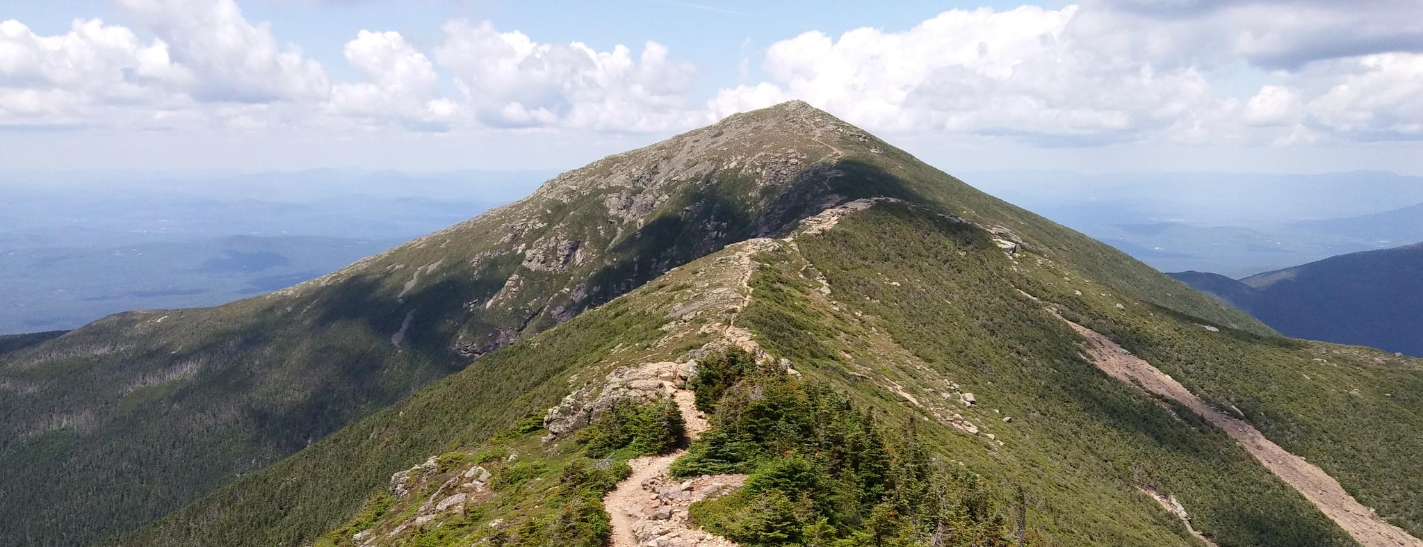
Pemigewasset Loop — A White Mountains classic I keep coming back to
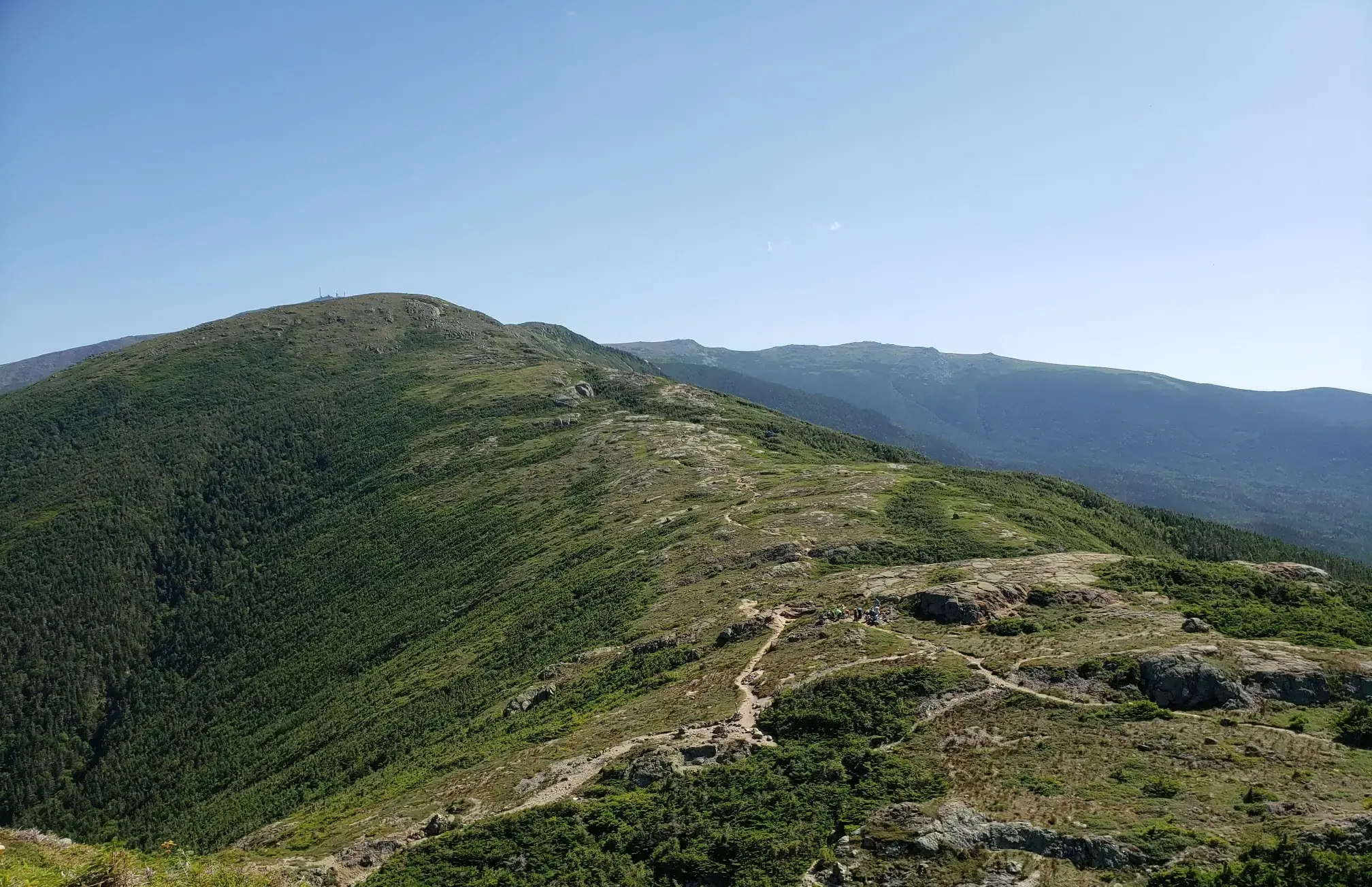
The Presidential Traverse — A classic New Hampshire sandbag
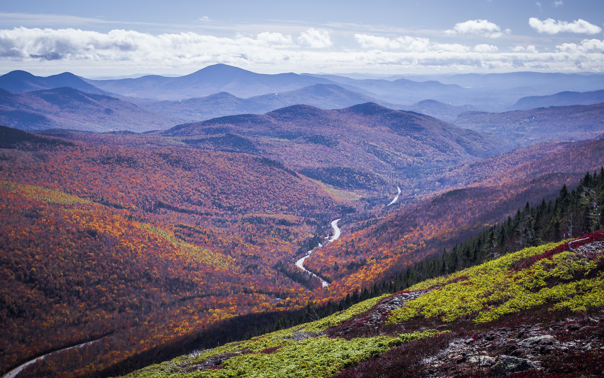
Cohos Trail — Exploring New Hampshire’s remote North Woods

New England – vibrant cities, picturesque coastlines and wild mountain landscapes
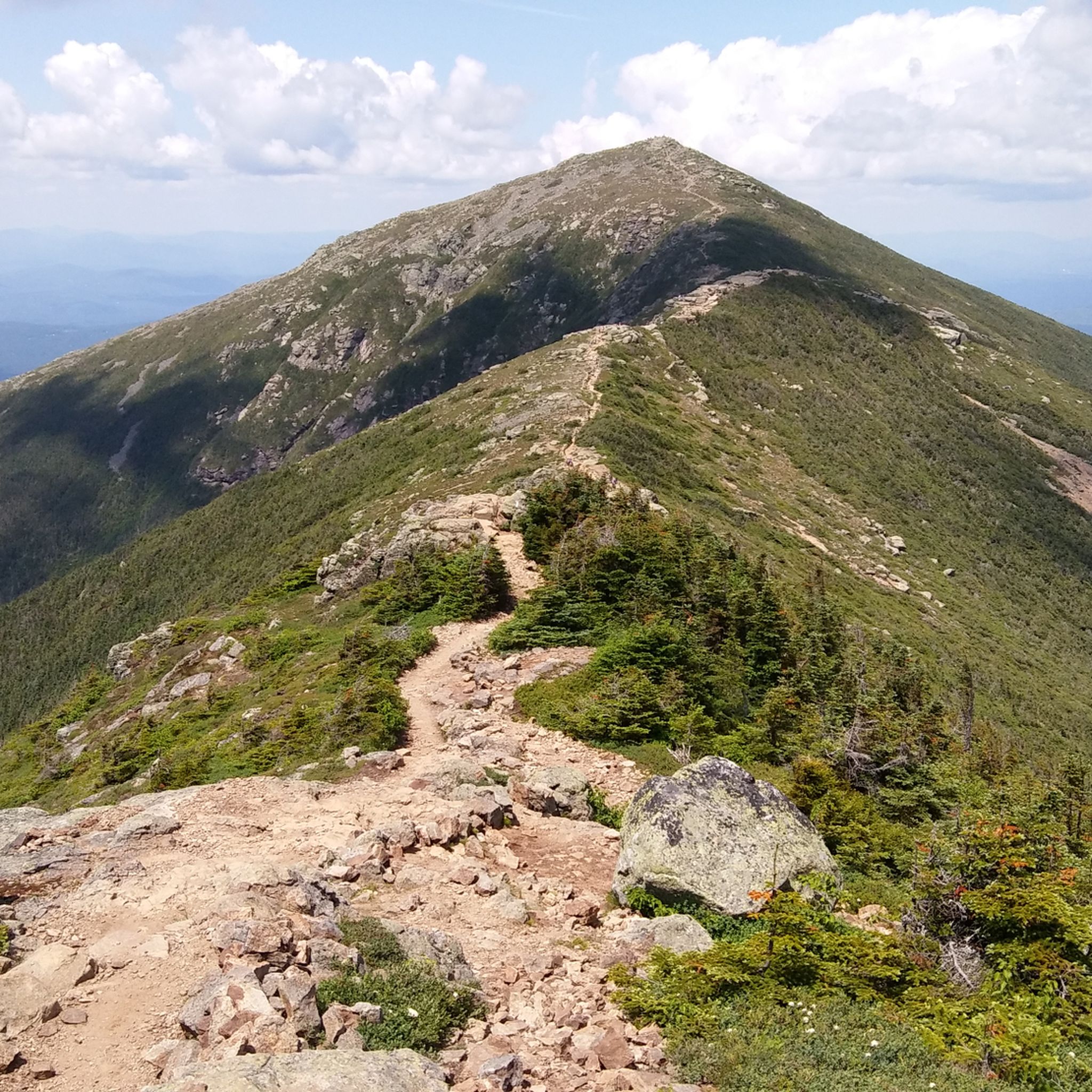
Hiking in White Mountain National Forest
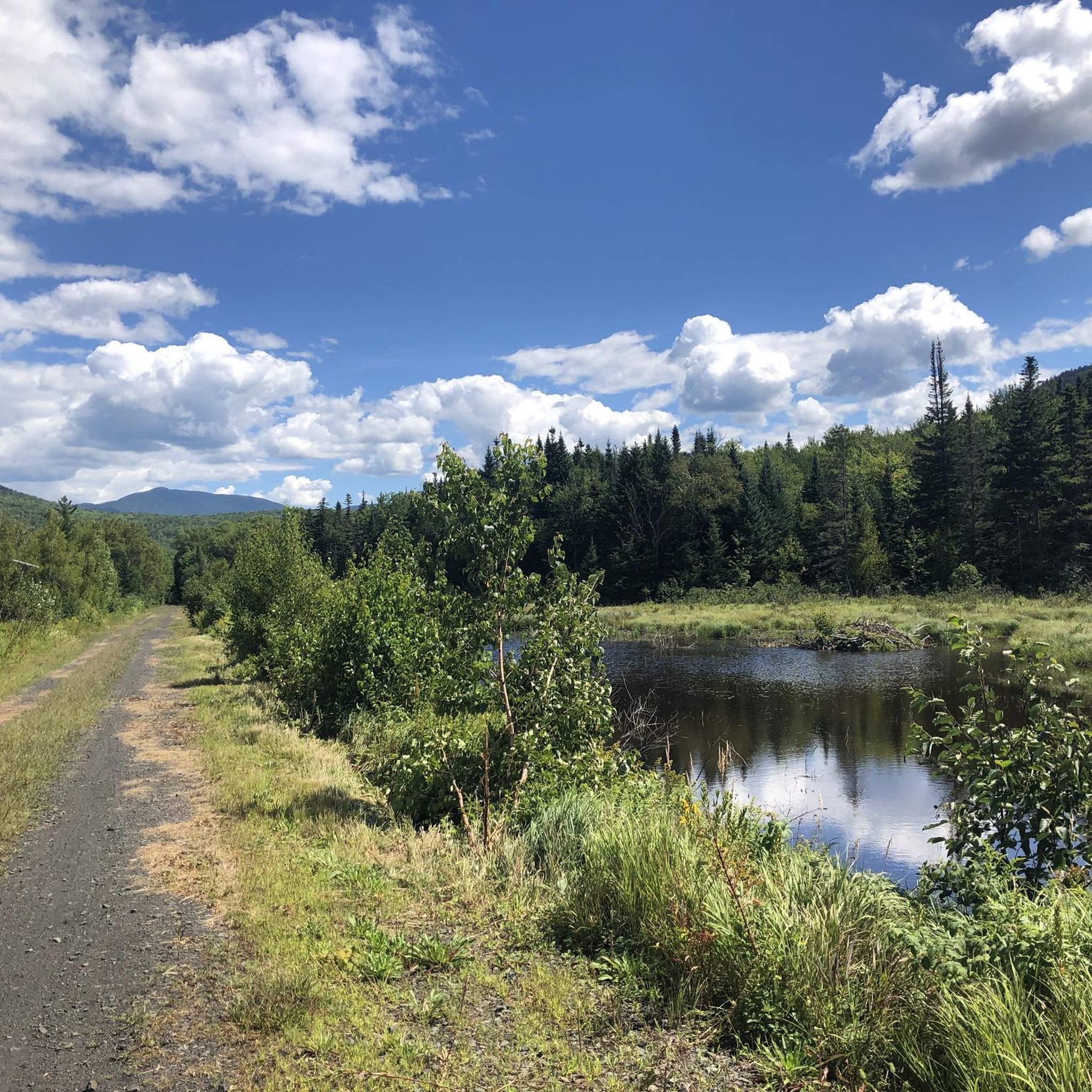
Cycling in White Mountain National Forest
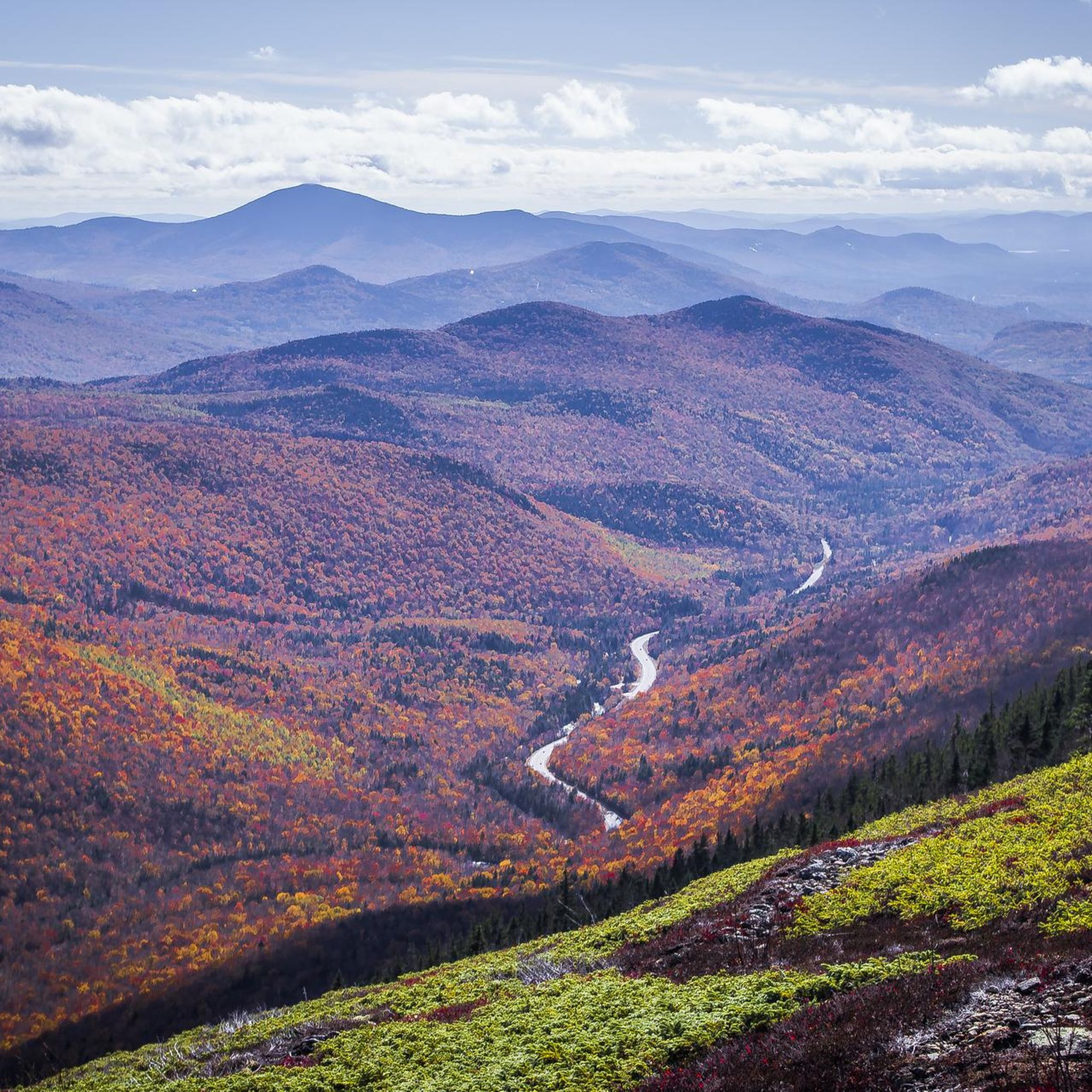
Road Cycling Routes in White Mountain National Forest
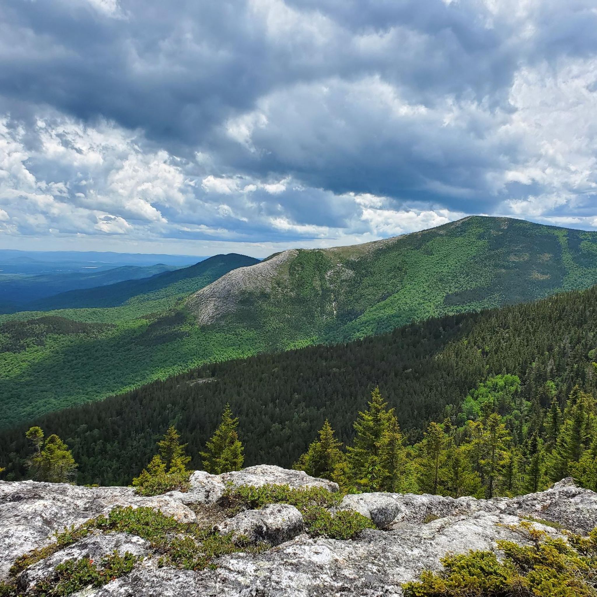
MTB Trails in White Mountain National Forest
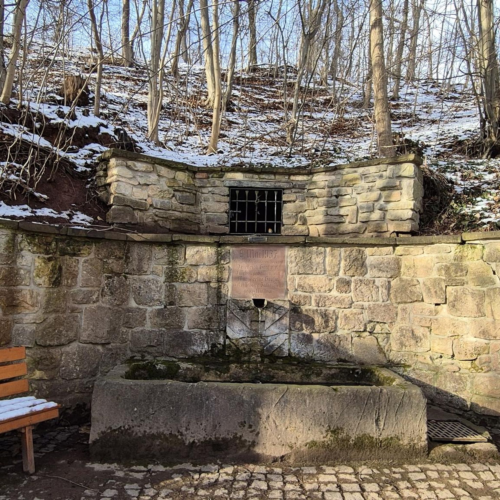
Gravel biking in White Mountain National Forest
Other adventures in White Mountain National Forest


Tips from the Community

Lake of the Clouds Hut is the highest and one of the most iconic of the AMC’s backcountry huts. Perched at 5,012 feet between Mount Monroe and Mount Washington, it offers stunning alpine views, dramatic sunsets, and a front-row seat to the Presidential Range’s famously unpredictable weather. It's a great place to stop and refill water bottles or shelter from the weather on a day hike or an iconic (and popular!) place to spend the night. The hut is full-service during the summer and early fall, with bunk accommodations, family-style dinner and breakfast, potable water, and composting toilets. It sleeps over 90 hikers and is a popular overnight stop for those tackling the Presidential Traverse. Reservations are essential and fill quickly.
1
0

Washington is the most prominent mountain in the eastern U.S. and an absolutely incredible peak to bag. This is easily one of the best summits in New England. It is also the most dangerous if you come unprepared, especially in the winter. Washington creates its own rapidly changing weather system and is known for being the deadliest small mountain in the world. The second-fastest wind speed on earth was recorded here at over 230mph. That said, a quarter million people visit Washington every year, and if you come prepared and respect the mountain you have nothing to fear and are guaranteed to have an epic summit.
0
0

Dress warmly. Snow season begins July 1 and ends June 30. We were at 68 mph at the summit. Keeping your hat on is a good idea. Two days ago, when we were last up there, it was 73 degrees Fahrenheit and the wind was blowing lightly around 23 mph. Mt. Washington is the highest peak within 1,000 miles, making it an exposed location with what the US Weather Service calls the worst and most surprising weather in the world.
0
0

Nice stop at mountain lakes
0
0

At a height of 6,288 feet in elevation, Mount Washington is the highest point in the range, state, and region. Some people drive to the summit, but there are a couple of days each year that you can bike the paved road to the top, which is a popular challenge for avid cyclists. A gravel bike can be handy since some of the road grades get so steep that you need that bigger cassette. The two events hosted each year for cyclists is the Mount Washington Auto Road Bicycle Hillclimb race each August and the Early Bird (which is just a solo ride for 150 riders) in July. There are places to refill your water, go to the restroom, lock up your bike, and even get a bike to eat if you need it at the top on race day. Note that all riders have to get a ride down the mountain and aren't allowed to bike down the road!
0
0
At a height of 6,288 feet in elevation, Mount Washington is the highest point in the range, state, and region. Some people drive to the summit, but there are a couple days each year that you can bike the paved road to the top, which is a popular challenge for avid cyclists. The two events hosted each year for cyclists is the Mount Washington Auto Road Bicycle Hillclimb race each August and the Early Bird (which is just a solo ride for 150 riders) in July. There are places to refill your water, go to the restroom, lock up your bike, and even get a bike to eat if you need it at the top on race day. Note that all riders have to get a ride down the mountain and aren't allowed to bike down the road!
0
0
Crystal Cascade is a beautiful, two-tiered waterfall right off the Tuckerman's Ravine Trail and less than a mile from the Pinkham Notch Visitor Center. You can see it from a bridge on the trail but better viewing opportunities are just off the trail up a short series of stone stairs that take you to a wide, clear platform.
0
0
Lions Head is a distinctive sheer, rock peak on the eastern flank of Mount Washington between Tuckerman and Huntington Ravine; from the base of Tuckerman's in particular, Lions Head dominates the skyline. There is a popular trail that takes you up and over this feature between these two iconic bowls to the Alpine Garden and summit of Mount Washington.
0
0
Frequently Asked Questions
How many running routes are available in White Mountain National Forest?
White Mountain National Forest offers a vast network of trails, with over 160 running routes documented on komoot. These routes cater to various skill levels, from easy paths to very challenging long-distance runs.
What kind of terrain can I expect on the running trails in the White Mountains?
The terrain in White Mountain National Forest is incredibly diverse. You'll find everything from mostly paved surfaces suitable for beginners to rugged, steep, and technical paths for advanced trail runners. The landscape features dense hardwood forests, majestic alpine peaks, and numerous crystal-clear mountain lakes and streams, providing a dynamic backdrop for your run.
Are there running routes suitable for beginners in White Mountain National Forest?
Yes, there are several options for beginner runners. The forest offers paths with mostly paved surfaces, typically up to 3 miles with around 330 feet of elevation gain. For instance, areas like Franconia Falls, Mount Willard, and Artists Bluff are recommended for those new to trail running.
What are some challenging running routes for experienced trail runners?
Experienced trail runners will find plenty of demanding options. Routes like the Tuckerman Ravine and Lion's Head Trail Loop offer rugged terrain and significant elevation changes. For an even greater challenge, the Presidential Traverse trail run is an exceptionally difficult long-distance route with substantial elevation gain across multiple peaks.
Can I find running routes with scenic views or waterfalls?
Absolutely! White Mountain National Forest is renowned for its lustrous natural beauty. Many running routes offer breathtaking scenic views of alpine peaks and dense forests. For waterfalls, consider routes near Diana's Baths Waterfalls or Arethusa Falls, where you can enjoy the sound and sight of cascading water.
Are there any loop running trails in the White Mountain National Forest?
Yes, loop trails are a popular option for runners who prefer not to retrace their steps. The Hancock Loop Trail is a great example, leading through dense forests and offering mountain views. Other areas like the Franconia Ridge Loop also provide excellent circular running experiences.
What natural attractions can I explore while running in the White Mountains?
Beyond the trails themselves, the White Mountains offer numerous natural attractions. You can encounter the majestic Diana's Baths with its series of small waterfalls, or the impressive Flume Gorge, an 800-foot natural chasm. The scenic Crawford Notch also provides stunning views of rivers, waterfalls, and forests.
Are the running trails in White Mountain National Forest dog-friendly?
Many trails in White Mountain National Forest are dog-friendly, but it's always best to check specific trail regulations before heading out. Generally, dogs are welcome on leash, but some areas or protected zones might have restrictions. Always ensure your dog is well-behaved and that you clean up after them.
What do other runners enjoy most about jogging in White Mountain National Forest?
The running routes in White Mountain National Forest are highly rated by the komoot community, with an average score of 4.5 stars. Reviewers often praise the diverse and beautiful scenery, the variety of terrain for all skill levels, and the opportunity to connect with nature amidst the dense forests and alpine peaks.
Are there any less crowded running trails in the White Mountains?
While popular trails can get busy, especially during peak season, the White Mountain National Forest has over 1,100 miles of trails, offering many opportunities to find quieter routes. Exploring trails slightly off the main tourist paths or visiting during off-peak hours can lead to a more serene running experience. Consider less-known sections of the extensive trail network for more solitude.
What should I bring for trail running in White Mountain National Forest?
Given the varied terrain and potential for rapid weather changes, it's wise to be prepared. Essential items include appropriate trail running shoes, layers of clothing, sufficient water and snacks, a map or GPS device (like komoot), and basic first-aid supplies. For longer or more challenging routes, consider a headlamp and emergency shelter.
Are there any running routes that are particularly good for families?
Yes, several routes are suitable for families looking for a more relaxed running or walking experience. Trails around Franconia Falls or Artists Bluff are generally less strenuous and offer beautiful scenery without extreme elevation gains, making them enjoyable for various ages and fitness levels.
Most popular routes in White Mountain National Forest
Most popular attractions in White Mountain National Forest

Get inspired with the komoot mobile app


Explore more
Browse the best Running Trails & Routes in other regions.
