The best running trails in Inyo National Forest
4.6
(6)
656
runners
101
runs
Jogging in Inyo National Forest offers diverse landscapes, from high mountain wilderness to high desert terrain, across nearly two million acres. The region features dramatic elevation changes, numerous Sierra Nevada summits, and hundreds of pristine lakes, rivers, and creeks. Volcanic formations and ancient forests also contribute to the varied natural environment, providing a range of challenging and scenic running routes.
Best jogging routes in Inyo National Forest
- The most popular jogging route is Duck Pass Trail, a 7.5 miles (12.1 km) trail that takes 1 hour 45 minutes to complete. This route features a significant elevation gain to stunning alpine lakes and panoramic High Sierra views.
- Another top favourite among local runners is North Fork Big Pine Creek Trail, a difficult 10.8 miles (17.4 km) path. This trail leads to turquoise alpine lakes and offers views of Temple Crag and Palisade Glacier.
- Local runners also love the Mount Whitney Trail to Lone Pine Lake, a 6.1 miles (9.8 km) trail leading through remarkable mountain scenery, often completed in about 1 hour 30 minutes.
- Jogging in Inyo National Forest is defined by high mountain wilderness, high desert terrain, and pristine lakes, with options for different ability levels.
- The routes in Inyo National Forest are highly rated by the komoot community with an average score of 4.75 stars from more than 5 reviews. More than 600 runners have used komoot to explore Inyo National Forest's varied terrain.
Last updated: October 10, 2026
28
runners
12.1km
01:45
520m
520m
Embark on a challenging jogging adventure along the Duck Pass Trail, a difficult route spanning 7.5 miles (12.1 km) with a significant elevation gain of 1690 feet (515 metres). You can expect to complete this high alpine journey in about 1 hour and 44 minutes. As you ascend, you will jog through serene pine forests and expansive alpine meadows, passing a series of pristine lakes like Skelton Lake and Barney Lake before reaching the iconic Duck Pass itself. From the pass, you are rewarded with sweeping panoramic views of the deep blue Duck Lake and the majestic 11,000-foot peaks that define the High Sierra landscape.
Planning your visit requires careful consideration, as the entire trail is situated above 9,000 feet. It is highly advisable to acclimatize to the high altitude in Mammoth Lakes before you begin to prevent altitude sickness. Even if you visit in late summer, be prepared for the possibility of encountering snow patches, particularly as you approach Duck Pass. Remember to manage your pace and ensure you stay well-hydrated throughout your jogging excursion.
This route offers a quintessential high alpine jogging experience within the John Muir Wilderness, known for its rugged beauty and remote feel. The continuous string of crystal-clear alpine lakes and the dramatic mountain vistas from Duck Pass make it a standout trail in the region. It provides a true test of endurance and a deep immersion into the natural grandeur of the Sierra Nevada mountains, far removed from urban distractions.
19
runners
17.4km
02:33
780m
780m
The North Fork Big Pine Creek Trail offers a challenging jogging experience through the stunning High Sierra. You will cover a distance of 10.8 miles (17.4 km) with a significant elevation gain of 2551 feet (778 metres), making it a difficult route best suited for experienced trail runners. Along the way, you'll pass through diverse landscapes, from sagebrush slopes to dense forests, and eventually reach alpine environments with views of granite peaks like Temple Crag and Mount Sill. Expect to complete this route in about 2 hours and 32 minutes, immersing yourself in the rugged beauty of the John Muir Wilderness.
To make the most of your visit, plan your jogging trip between late spring and early fall. Winter conditions often bring snow and ice, making the trail less accessible. Starting your day early is a good strategy; it helps you avoid the heat in exposed sections and increases your chances of finding parking, especially during peak seasons. Be mindful of the altitude, as the trail begins at nearly 8,000 feet and ascends much higher, so altitude sickness can be a concern for some.
This route is particularly notable for its series of seven glacially fed alpine lakes, collectively known as the Big Pine Lakes, which are famous for their striking vibrant turquoise color. As you ascend, you might even catch distant views of the impressive Palisade Glacier. The changing scenery and the reward of these pristine lakes make the North Fork Big Pine Creek Trail a memorable journey for those seeking a demanding yet incredibly scenic outdoor adventure.

13
runners
9.82km
01:31
520m
520m
Embark on a challenging jogging route up the Mount Whitney Trail to Lone Pine Lake, a difficult 6.1-mile (9.8 km) journey within Inyo National Forest. You will ascend 1722 feet (525 metres) over an estimated 1 hour and 30 minutes, experiencing a dramatic shift in scenery from open valley views to serene pine and fir groves. The trail culminates at the clear, blue waters of Lone Pine Lake, offering a rewarding vista against the Sierra Nevada mountains.
To plan your visit, start your adventure at Whitney Portal, where parking is available. While a day trip to Lone Pine Lake does not require the highly sought-after Mount Whitney summit permit, you will need a wilderness permit if you intend to stay overnight. It is wise to arrive early, especially during peak seasons, to secure parking and begin your jogging experience smoothly.
This route provides a unique opportunity to explore the lower elevations of the Mount Whitney area, renowned for its rugged beauty and diverse ecosystems. The trail offers a glimpse into the vastness of the Sierra Nevada, a mountain range known for its granite peaks and alpine lakes. It serves as an accessible entry point into this iconic wilderness, allowing you to experience its grandeur without the full commitment of a summit attempt.
7
runners
8.75km
01:04
170m
170m
Embark on a moderate jogging route through the stunning Little Lakes Valley, covering 5.4 miles (8.7 km) with an elevation gain of 554 feet (169 metres). You can expect to complete this journey in about 1 hour and 4 minutes, passing by a series of captivating glacial lakes like Mack Lake. The trail offers a dynamic experience as you jog through scenic tree tunnels and expansive meadows, all set against a backdrop of dramatic 13,000-foot peaks.
When planning your visit, remember that the trailhead sits at over 10,000 feet, so the thinner air might make your jogging feel more strenuous. This is a popular destination, especially during summer weekends, so arriving early is a good idea to secure parking. Always be mindful that you are in active bear country; make sure to use bear-proof containers for all your food and refuse to keep wildlife safe and undisturbed.
The Little Lakes Valley is renowned for its chain of incredibly clear glacial lakes, which often perfectly reflect the surrounding mountains and sky. This unique natural environment, framed by towering peaks such as Bear Creek Spire, creates a truly memorable setting for your outdoor activity. The valley's distinct geology and pristine waters are what make this trail a standout experience in the John Muir Wilderness.
7
runners
24.6km
03:28
970m
970m
Prepare for a demanding jogging experience on the White Mountain Peak Trail, a difficult route that spans 15.3 miles (24.6 km). You will ascend 3176 feet (968 metres) in elevation, with an estimated duration of 3 hours and 28 minutes. As you jog, you will find yourself in a high-altitude, desert-like landscape, characterized by tough grasses and low-lying plants, offering expansive views of the Eastern Sierra range and the distant Nevada desert.
Planning your visit requires careful consideration due to the trail's remote location and high elevation. There is no shade along the route, and you won't find reliable water sources, so bring plenty of hydration. Starting your jog early in the day is highly recommended, especially during July and August, to avoid the strong winds and afternoon thunderstorms that can develop at this altitude.
This route leads you to California's third-highest peak, offering panoramic vistas that include prominent peaks like Mount Ritter, Banner, and even Mount Whitney on a clear day. The striking contrast between the sharp Sierra Nevada peaks and the hot desert stretching out to the east makes this a unique high-altitude adventure. Keep an eye out for marmots, which are often spotted along the way.
Get access to more routes and recommendations from other explorers.
Already have an account?
Our route recommendations are based on thousands of hikes, rides, and runs completed by other people on komoot.
Start today with a free account
Your next adventure awaits.
Popular around Inyo National Forest

John Muir Trail – Along the legendary trail through the magical Sierra Nevada

The Sierra High Route — Solitude in California's alpine country

Pacific Crest Trail from Mexico to Canada – 4,200 kilometres of wilderness
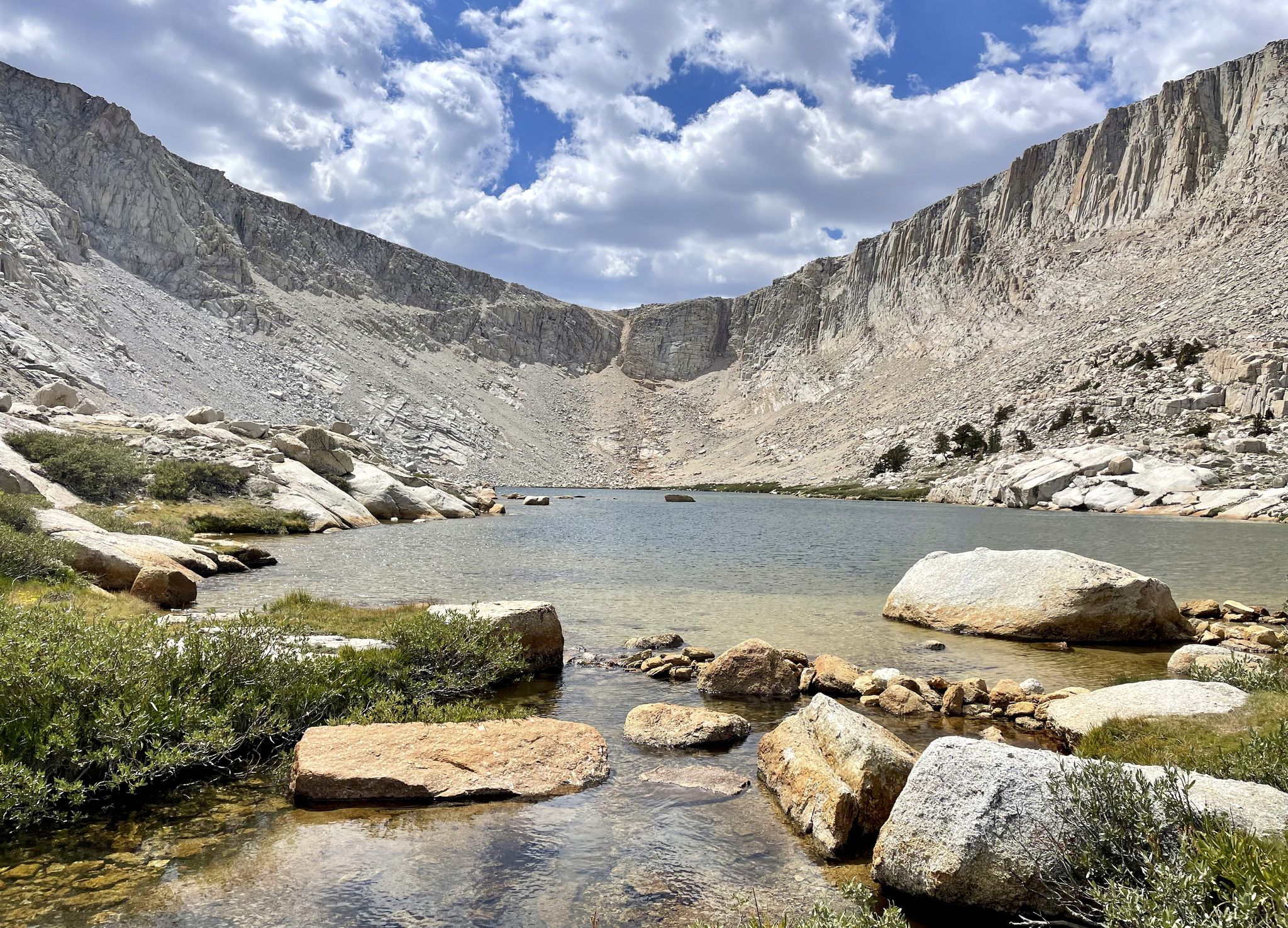
Cottonwood Lakes Loop — Exploring the Golden Trout Wilderness
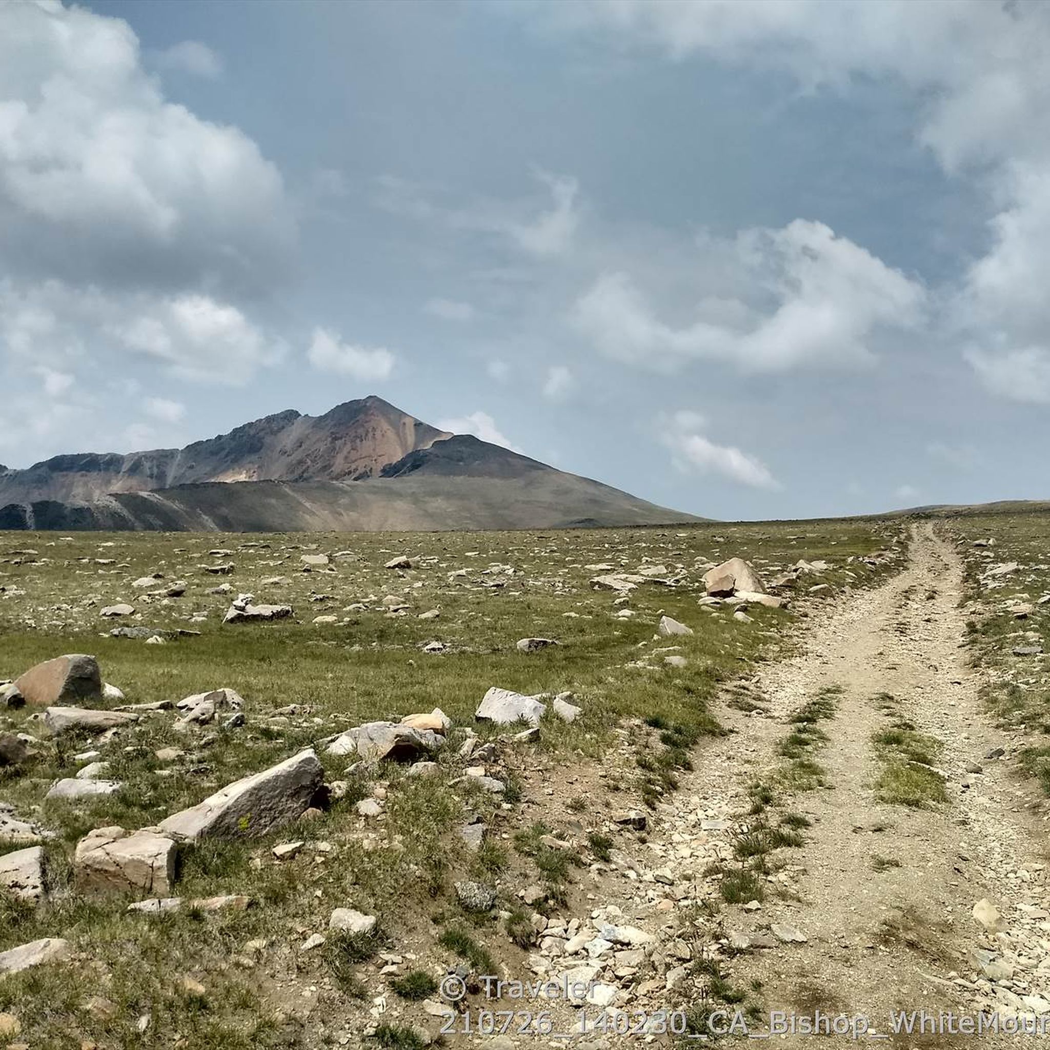
Hiking in Inyo National Forest
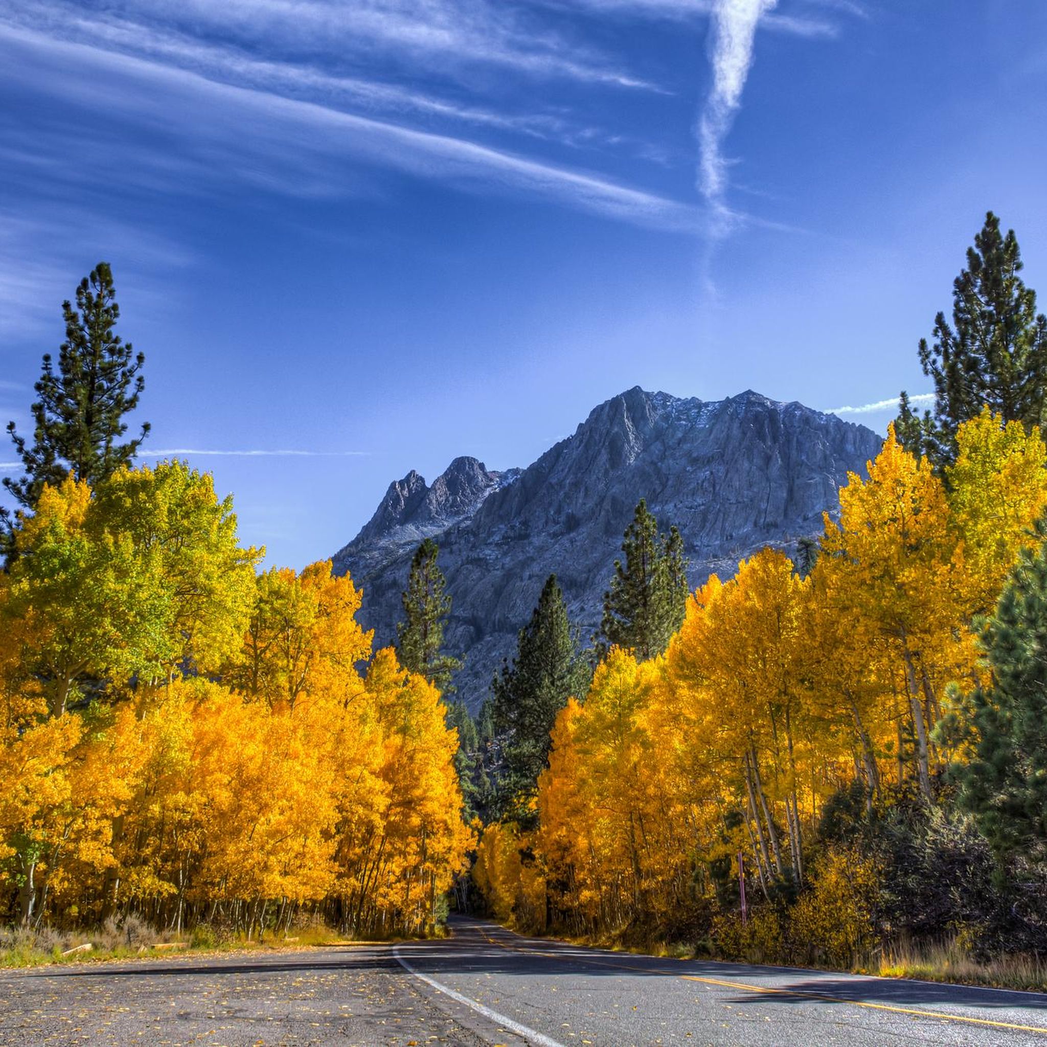
Cycling in Inyo National Forest
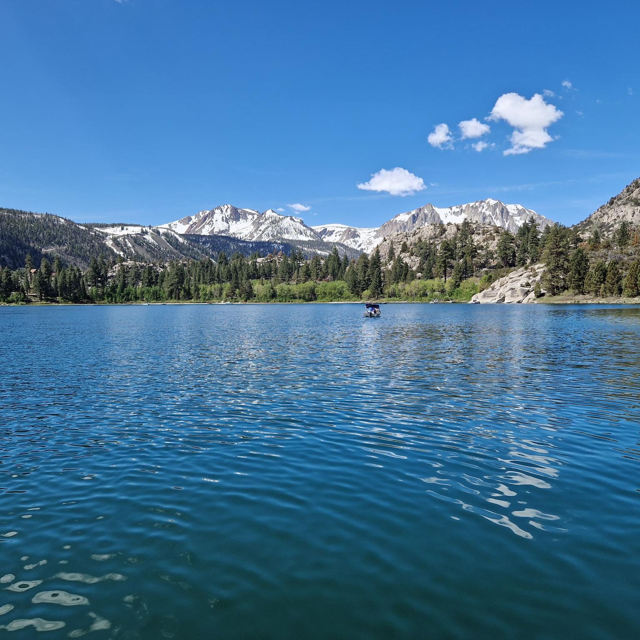
Road Cycling Routes in Inyo National Forest
MTB Trails in Inyo National Forest
Gravel biking in Inyo National Forest
Other adventures in Inyo National Forest


Tips from the Community


At 10,800 feet, this high mountain saddle is breathtaking, with sweeping views of Duck Lake and the surrounding Silver Divide peaks. It's the ultimate reward for the challenging ascent. Here, you can catch your breath in the crisp mountain air and enjoy the stunning Sierra Nevada vistas.
0
0

Very beautiful and isolated mountain peak in the White Mountains. The view of the Sierra Nevada and towards Death Valley is great. The climb is not particularly difficult, there are no climbing sections or anything similar. However, due to the length of the tour and the altitude, it should not be underestimated.
1
1

Heart Lake is one of the more popular lakes along the Little Lakes Valley Trail. The trail up to the lake is not too challenging and passes several old gold mines.
1
0

The pictures taken from this small rocky outcrop above Second Lake, marked here by a tentsite symbol, are ICONIC. If the pictures above look familiar, that’s because… well.. they are! Temple Crag from across Second Lake is one of the most frequently photographed “scenes” of the Eastern Sierras. Just a quick search on the internet of “Big Pine Lakes” will pull up countless pictures almost identical to each other of this exact lake/peak combo. (Seriously, try it 😂) And honestly, it’s easy to understand why! The setting is otherwordly!
1
0
FIRST Lake is, ironically, the LAST place for this water to rest before heading down through Big Pine Valley as the North Fork Big Pine Creek and entering, as a tributary, the Owens River 6,000ft below! To the east you are offered a lovely view to Mount Alice, while to the south Temple Crag commands your attention! The water in First Lake, as well as the ither Big Pine Lakes, often can be seen with a beautiful teal hue, caused by the refraction of sunlight on particles of glacial silt in the water!
0
0
Frequently Asked Questions
How many running routes are available in Inyo National Forest?
Inyo National Forest offers a wide variety of running opportunities, with nearly 100 dedicated routes available on komoot. These routes cater to all levels, from easy jogs to challenging trail runs.
What kind of terrain can I expect on the jogging trails in Inyo National Forest?
The terrain in Inyo National Forest is incredibly diverse, ranging from high mountain wilderness to high desert landscapes. You'll find trails with varied surfaces, including flat sections, uneven ground, small hills, and steep, rocky, or rooted areas. This variety provides both challenging and scenic running experiences.
Are there any easy or family-friendly running routes in Inyo National Forest?
Yes, Inyo National Forest has options for easier and family-friendly runs. While many routes are challenging, some trails like the Convict Lake Loop Trail or portions of the Mono Lake Boardwalk offer more accessible options. There are 15 routes specifically rated as easy on komoot, perfect for a relaxed jog.
What are some of the most scenic natural features I can see while running in Inyo National Forest?
Inyo National Forest is renowned for its breathtaking natural beauty. Runners can enjoy stunning alpine lakes, panoramic High Sierra views, and dramatic mountain scenery. Notable features include the distinctive limestone formations ('tufa towers') at Mono Lake, the beautiful June Lake, and the ancient Bristlecone Pine Forest, home to some of the world's oldest living trees. You might also encounter volcanic formations and hot springs near Mammoth.
Are there any running trails that feature waterfalls or significant water bodies?
Absolutely! Water is a prominent feature in Inyo National Forest. Many routes will take you past hundreds of pristine lakes, ponds, rivers, and creeks. For specific waterfall views, you might find highlights like Waterfall Between Middle and Northern Lakes or Minaret Falls along your journey. The June Lake Loop also offers picturesque water views.
Do I need a permit for trail running in Inyo National Forest?
While many trails are open for general use, some areas within Inyo National Forest, especially wilderness areas or popular routes like Mount Whitney, may require permits for day use or overnight stays, particularly during peak seasons. It's always best to check the official Inyo National Forest website for the most current permit requirements before heading out.
What do other runners enjoy most about jogging in Inyo National Forest?
The komoot community highly rates the running experiences in Inyo National Forest, with an average score of 4.75 stars. Runners frequently praise the diverse and stunning landscapes, the clean air, clear skies, and the breathtaking views that enhance every outdoor experience. The variety of challenging and scenic routes also receives high marks.
Are there any loop running trails available in Inyo National Forest?
Yes, there are several loop running trails in Inyo National Forest that allow you to start and end at the same point, offering a convenient and varied experience. While specific loop routes are numerous, you can find options like the Convict Lake Loop Trail, which is known for its accessibility and scenic beauty.
What is the best season for running in Inyo National Forest?
The best season for running in Inyo National Forest generally depends on the elevation and specific trail. Summer and early fall offer the most accessible conditions for higher elevation trails, with pleasant temperatures. Spring can be beautiful but may still have snow at higher altitudes. Late fall and winter bring snow to many areas, making some trails suitable only for snowshoeing or cross-country skiing, though lower elevation routes might remain accessible.
Are there dog-friendly running trails in Inyo National Forest?
Many trails in Inyo National Forest are dog-friendly, allowing you to bring your canine companion along for a run. However, regulations can vary by specific area, especially within wilderness zones or around sensitive wildlife habitats. Always keep your dog on a leash and be prepared to pack out waste. Check specific trail regulations before you go to ensure a pleasant experience for everyone.
Where can I find parking for trailheads in Inyo National Forest?
Many trailheads throughout Inyo National Forest offer designated parking areas. Popular spots like those for Duck Pass Trail or Minaret Vista Trail typically have parking facilities. It's advisable to arrive early during peak seasons, as parking can fill up quickly. Some remote trailheads might have limited parking, so planning ahead is recommended.
Can I reach any running trails in Inyo National Forest using public transport?
While direct public transport to every trailhead can be limited due to the vastness of Inyo National Forest, some areas, particularly around Mammoth Lakes, offer shuttle services or public transport options that can get you closer to certain trailheads. For example, the Mammoth Lakes area has a transit system that can provide access to various recreational spots. It's best to research local transport options for your specific starting point.
Which running routes offer views of iconic Sierra Nevada peaks?
Many routes in Inyo National Forest provide stunning views of the Sierra Nevada peaks. For example, the North Fork Big Pine Creek Trail offers views of Temple Crag and Palisade Glacier. The Mount Whitney Trail to Lone Pine Lake provides remarkable mountain scenery, including views of Mount Whitney itself. The Minaret Vista Trail offers panoramic views of Mammoth Lakes' iconic skyline, including the sharp spires of the Minarets, Mount Ritter, and Banner Peak.
Most popular routes in Inyo National Forest
Most popular attractions in Inyo National Forest

Get inspired with the komoot mobile app


Explore more
Browse the best Running Trails & Routes in other regions.
