The best road cycling routes around Oberalpsee
4.6
(589)
31,495
riders
34
rides
Road cycling routes around Oberalpsee are situated in the Swiss Alps, featuring the Oberalp Pass at an elevation of over 2,000 meters. The region is characterized by its mountain lake, Oberalpsee, surrounded by steep rock faces and alpine meadows. The pass road itself is well-maintained and paved, offering sweeping bends and some hairpin turns suitable for road cycling. Elevation gains of several hundred meters are common across the routes, providing varied challenges for cyclists.
Best road cycling routes around Oberalpsee
…Last updated: October 11, 2026
5
riders
9.71km
00:43
380m
380m
Moderate road ride. Good fitness required. Some segments of this route may be unpaved and difficult to ride.
33
riders
42.4km
03:18
1,380m
1,380m
Hard road ride. Very good fitness required. Some segments of this route may be unpaved and difficult to ride.

4.9
(167)
8,798
riders
106km
07:18
3,170m
3,170m
Hard road ride. Very good fitness required. Some segments of this route may be unpaved and difficult to ride.
4.9
(102)
5,306
riders
120km
07:49
3,680m
3,680m
Hard road ride. Very good fitness required. Some segments of this route may be unpaved and difficult to ride.
4.9
(102)
5,305
riders
120km
07:39
3,580m
3,580m
Hard road ride. Very good fitness required. Mostly well-paved surfaces and easy to ride.
Get access to more routes and recommendations from other explorers.
Already have an account?
Our route recommendations are based on thousands of hikes, rides, and runs completed by other people on komoot.
Start today with a free account
Your next adventure awaits.
Popular around Oberalpsee
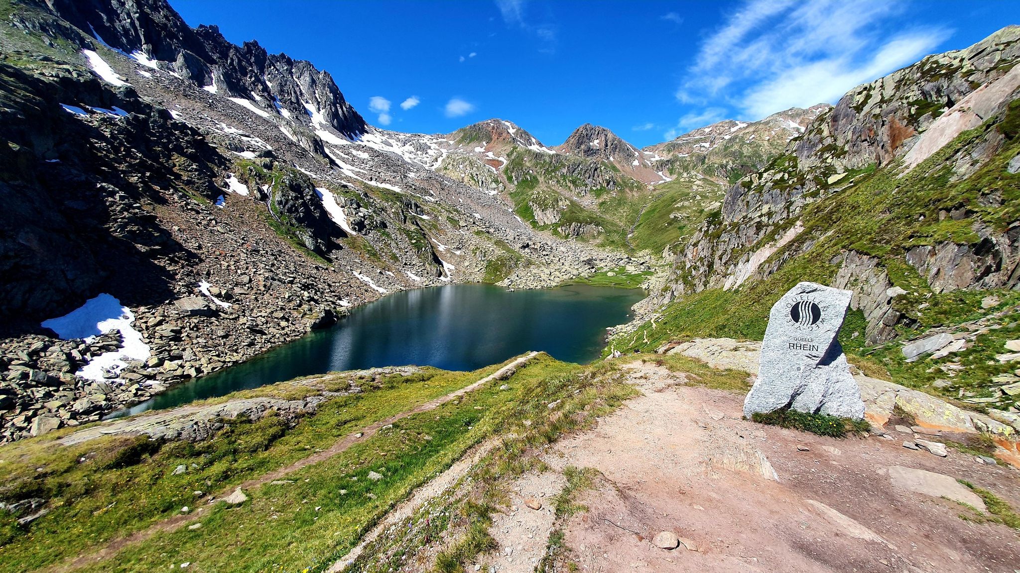
Four Springs Trail — Find flow in Switzerland's Gotthard Massif
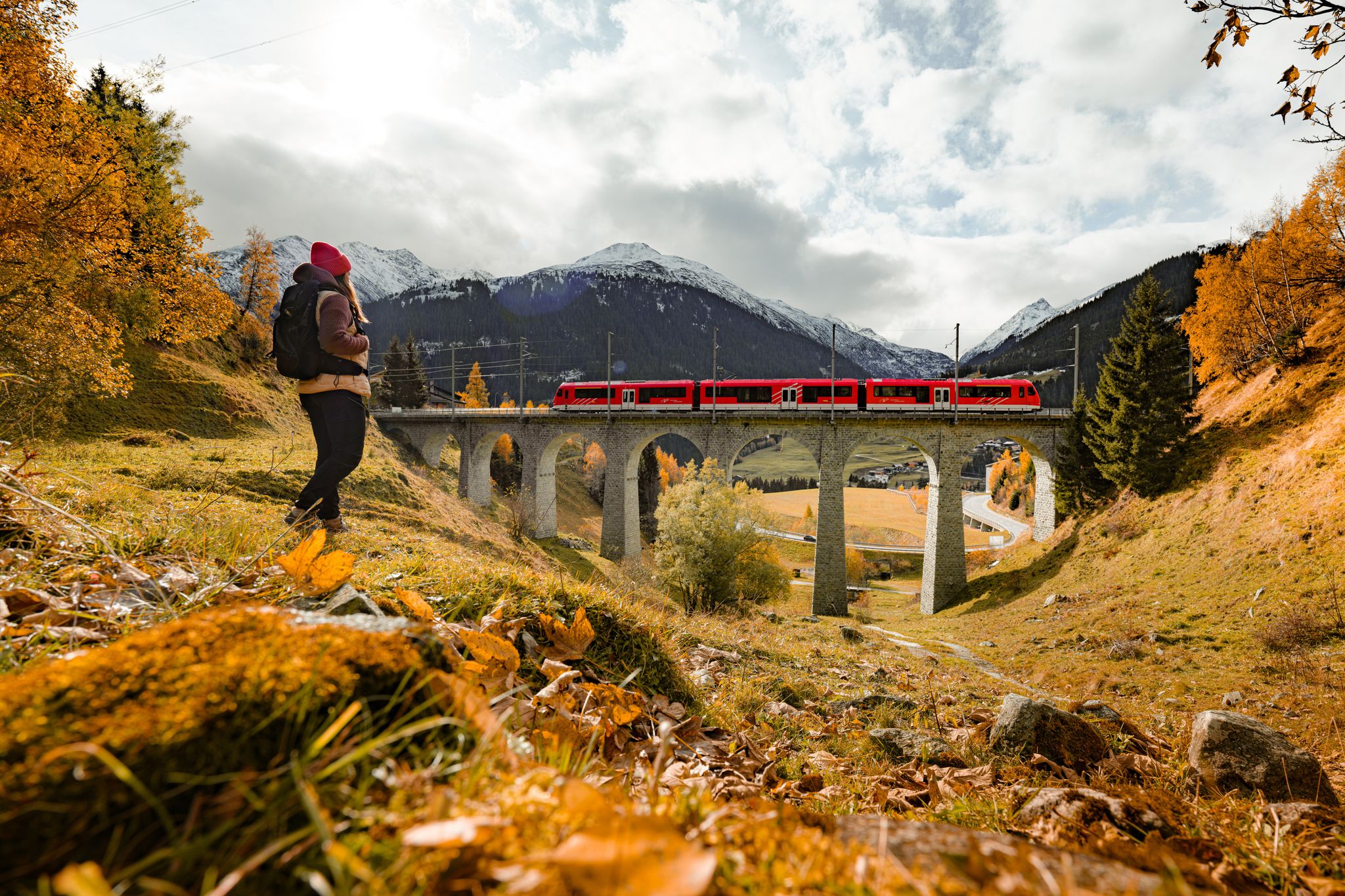
Fantastic hiking through the Alps with the Matterhorn Gotthard Railway
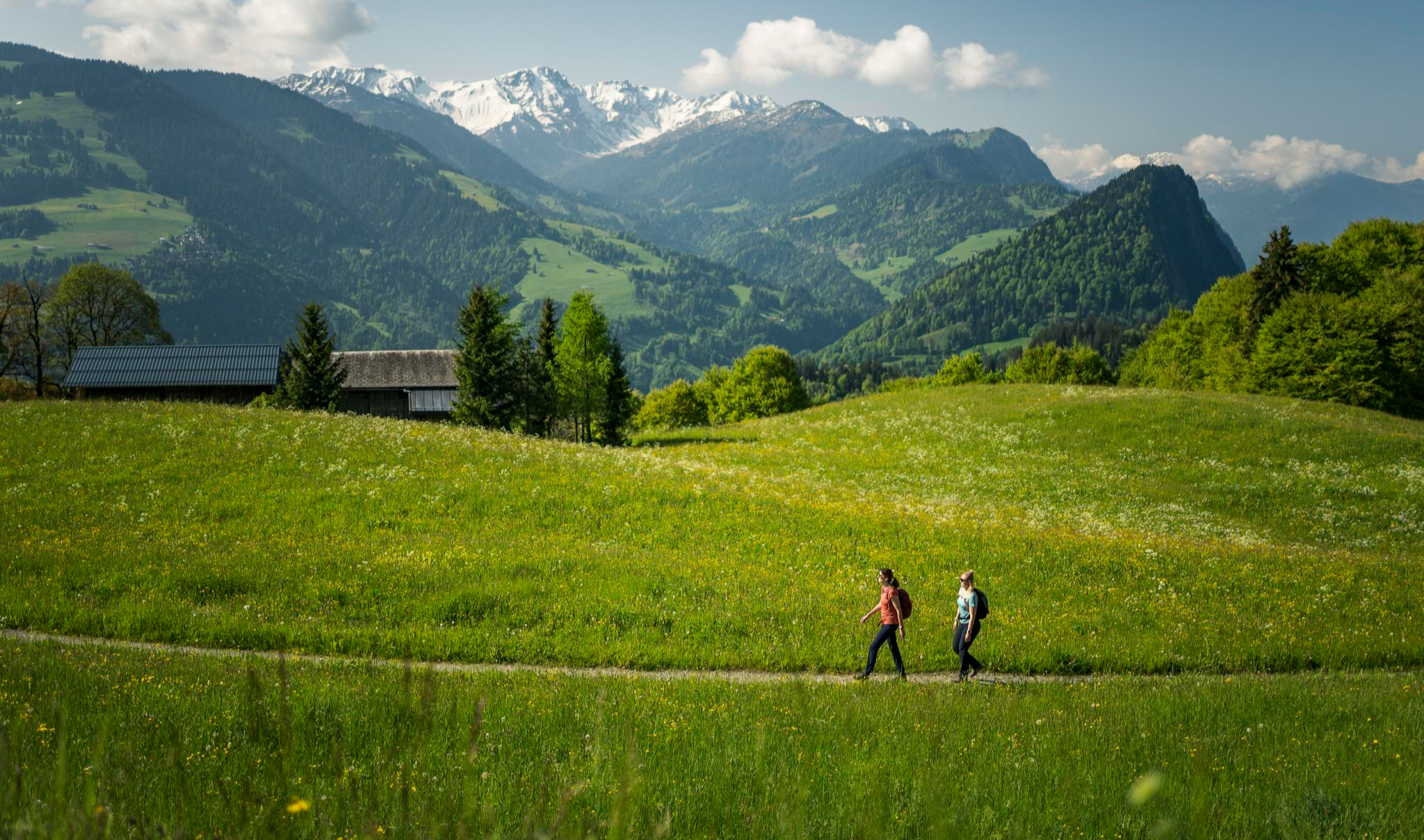
Hiking with respect and tolerance – it just makes sense!
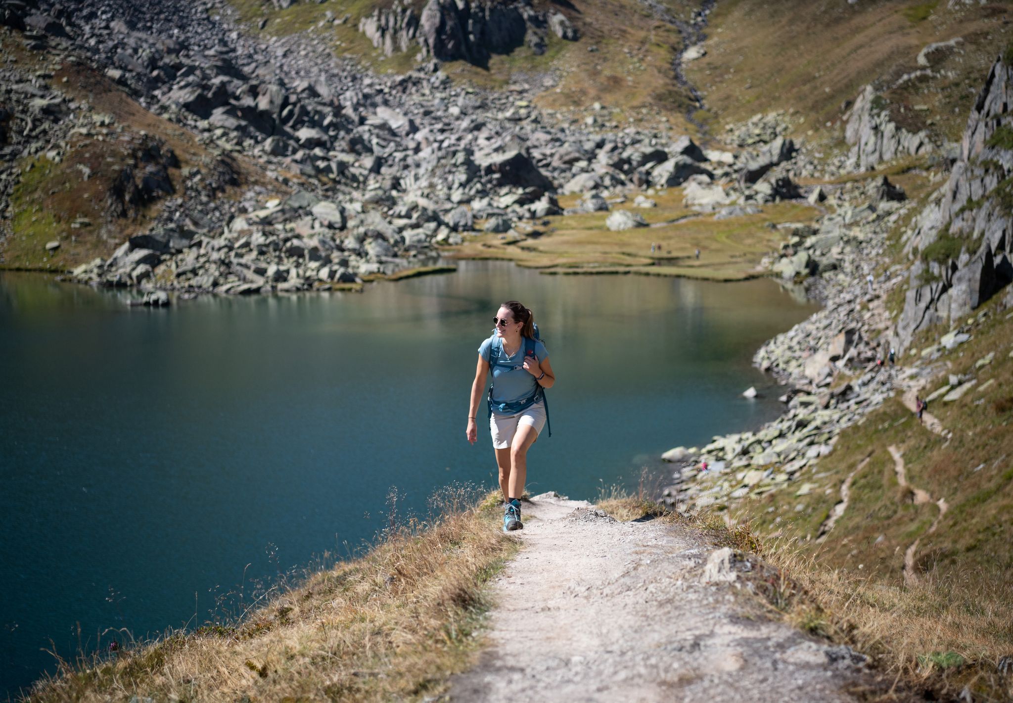
Varied hikes around the source of the mighty Rhine
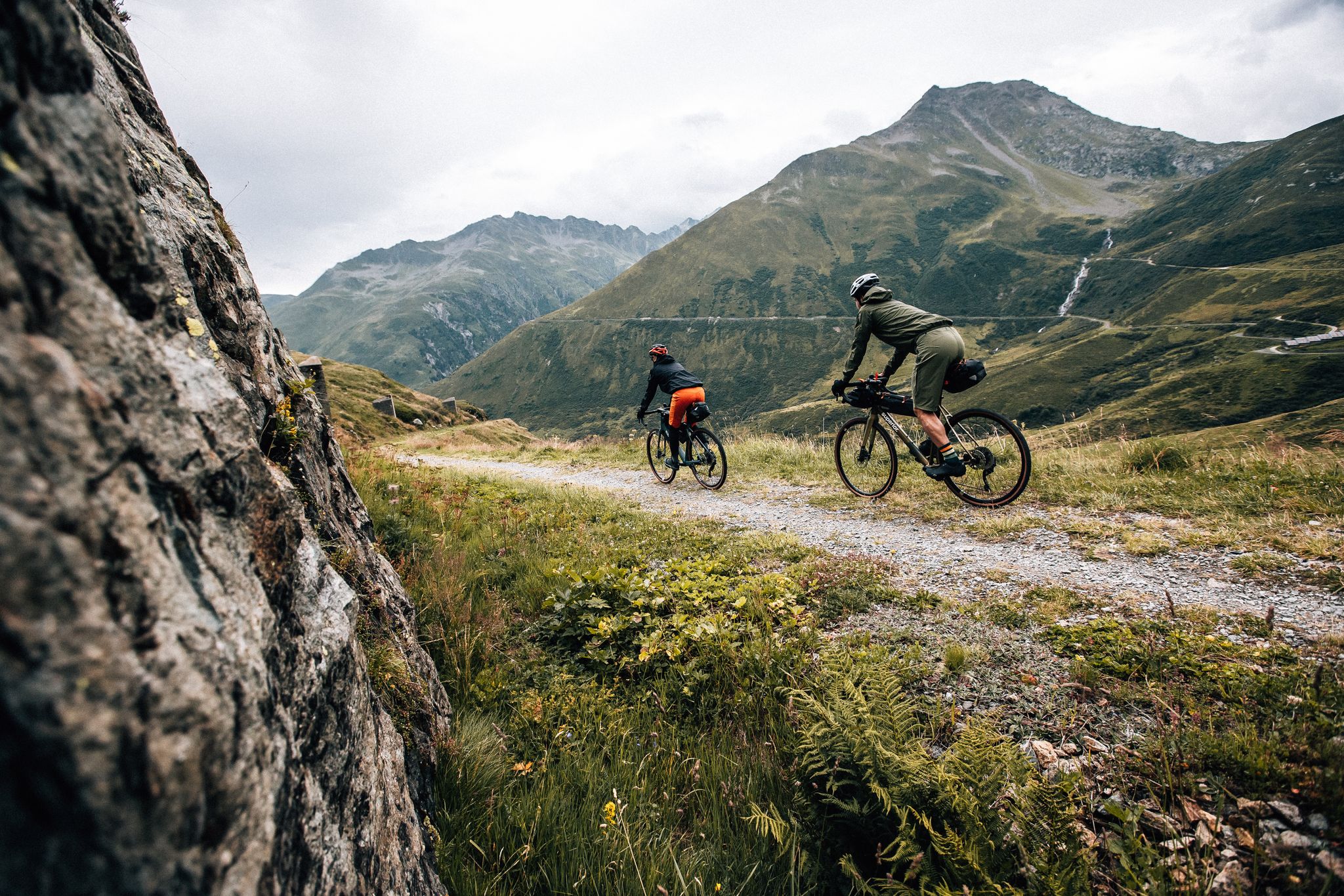
Trans Grischun – cross Graubünden on a gravel bike
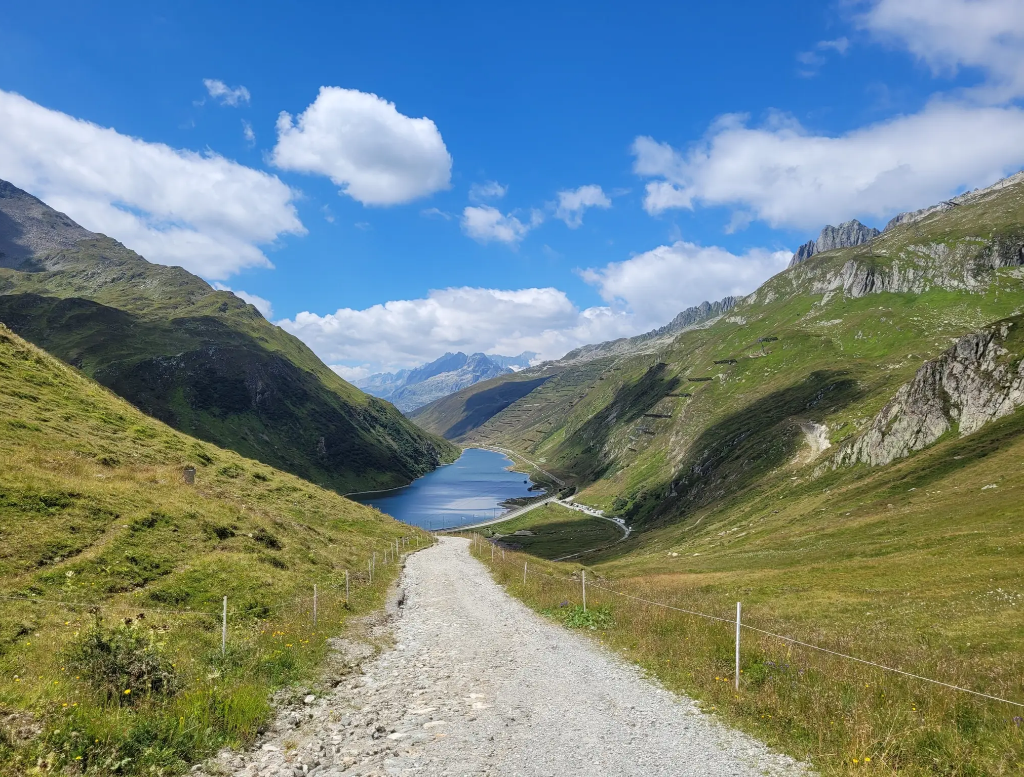
Senda Sursilvana – lungo il Giovane Reno tra natura e tradizione
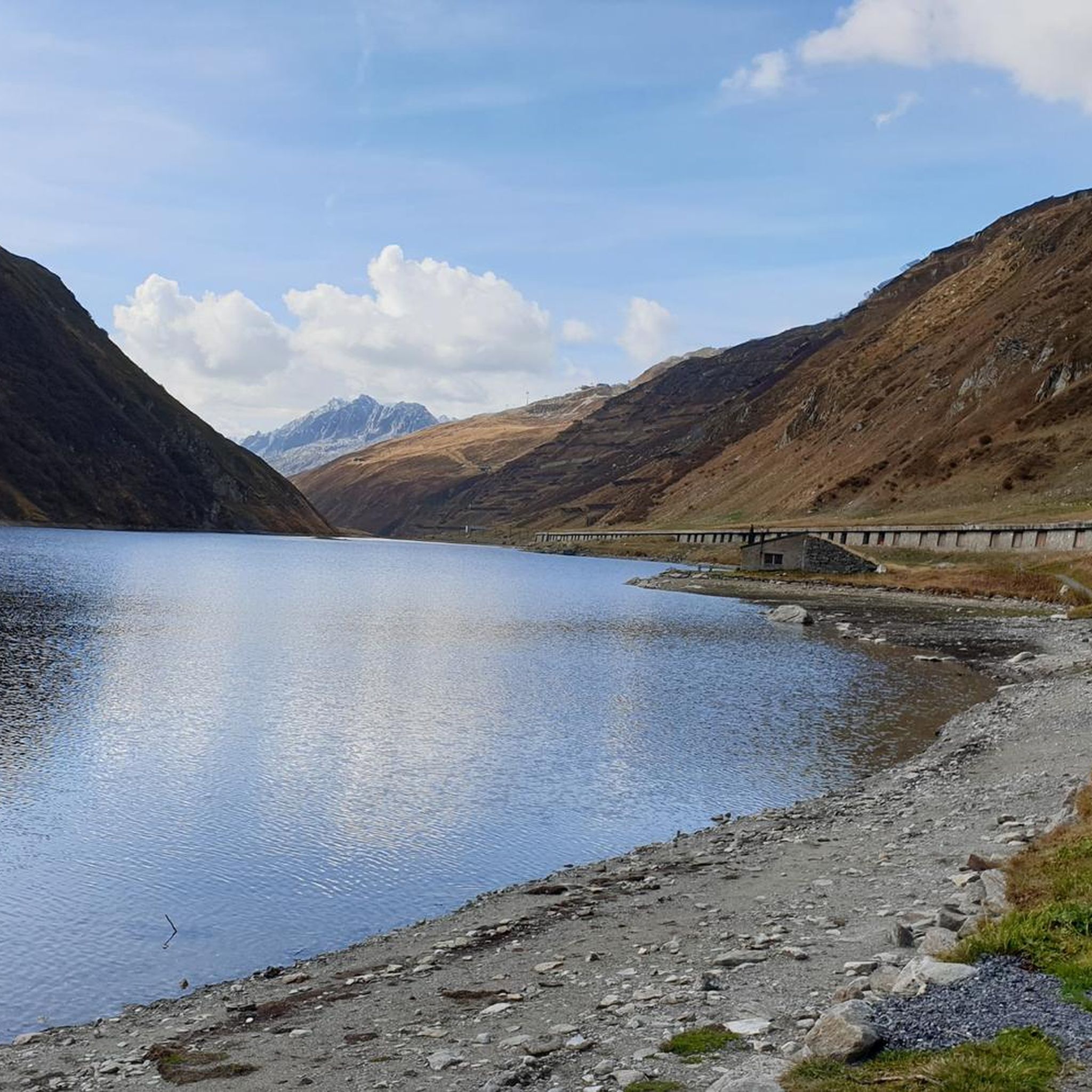
Hiking around Oberalpsee
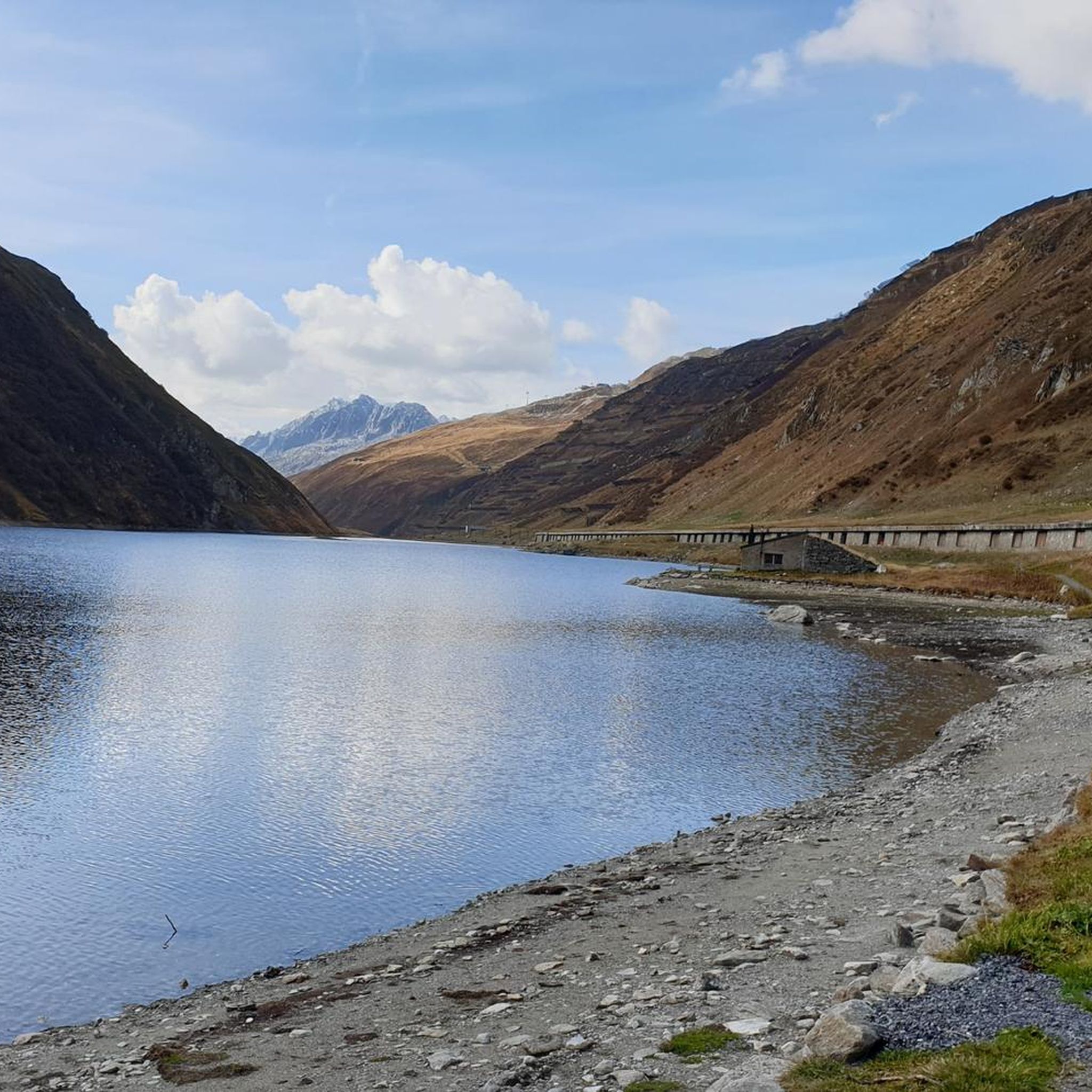
Cycling around Oberalpsee
MTB Trails around Oberalpsee
Running Trails around Oberalpsee
Other adventures around Oberalpsee


Tips from the Community

You can see how much further you have to go. Dreamy.
0
0

The cycle path is bordered by a gravel path that delights hikers.
4
0

Wonderful panoramic and distant view after a steep climb
1
0

At 2,478 meters above sea level, the Nufenen Pass (Nufenenpass in German) connects the Goms Valley in the upper Valais with the Bedretto Valley in the upper Ticino. From Airolo, the climb is approximately 22 kilometers (average gradient 5.6%), while from Ulrichen it is shorter but more challenging: 14 kilometers at an average gradient of approximately 7.9%.
0
0

The Furka Pass is a 2,429 m high Swiss road pass in the Alps. It connects the Urseren Valley (the upper valley of the Reuss River) in the canton of Uri with the Goms district in the canton of Valais. It straddles the European watershed between the Mediterranean Sea and the North Sea. Source: Furka Pass – Wikipedia https://share.google/zJGI3KsPRtARfpYje
6
0

The classic ascent to the Furka Pass is the eastern route from Realp, which is also often used in the Tour de Suisse. At the edge of Realp, you pass the access point for the historic Furka Railway and can already see the adventurous road climbing upwards. It quickly becomes clear that this pass is by no means an easy one, as the lower section, which is winding, boasts double-digit gradients.
2
0


Since the tunnel on the Grimsel Pass road is only accessible by bike downhill, you'll have to take the old pass road. However, it's not a must, as the path, part of which is cobblestone, is much more beautiful and spectacular anyway.
2
0
Frequently Asked Questions
How many road cycling routes are available around Oberalpsee?
There are over 35 road cycling routes around Oberalpsee, offering a diverse range of experiences for cyclists. These routes are highly rated by the komoot community, with an average score of 4.6 stars.
What is the best time of year for road cycling around Oberalpsee?
The best time for road cycling around Oberalpsee is generally during the summer months when the Oberalp Pass road is open to traffic. This period offers pleasant weather, lush alpine meadows, and the full beauty of the high Alps.
What kind of terrain and difficulty can I expect on road cycling routes near Oberalpsee?
The terrain around Oberalpsee is characteristic of the high Alps, featuring well-maintained, mostly paved roads with sweeping bends and some tight hairpin turns. You can expect significant elevation gains, with routes ranging from moderate to difficult. There are 3 easy routes, 16 moderate routes, and 18 difficult routes available.
Are there challenging climbs for experienced road cyclists around Oberalpsee?
Yes, Oberalpsee and the surrounding region offer challenging climbs suitable for experienced road cyclists. The Oberalp Pass itself is one of four beautiful +2000 meter passes accessible from Andermatt, providing substantial elevation gains. Routes like Tschamut-Selva train station – Val Bugnei Railway Viaduct loop from Tschamut-Selva are rated as difficult, covering over 42 km with significant ascents.
Are there family-friendly or beginner-friendly road cycling options around Oberalpsee?
While many routes involve significant climbs, there are a few easier options available. The region offers 3 easy routes, which could be suitable for families or beginners looking for a less strenuous experience. These routes often feature gentler gradients and shorter distances.
What landmarks or natural features can I see while road cycling around Oberalpsee?
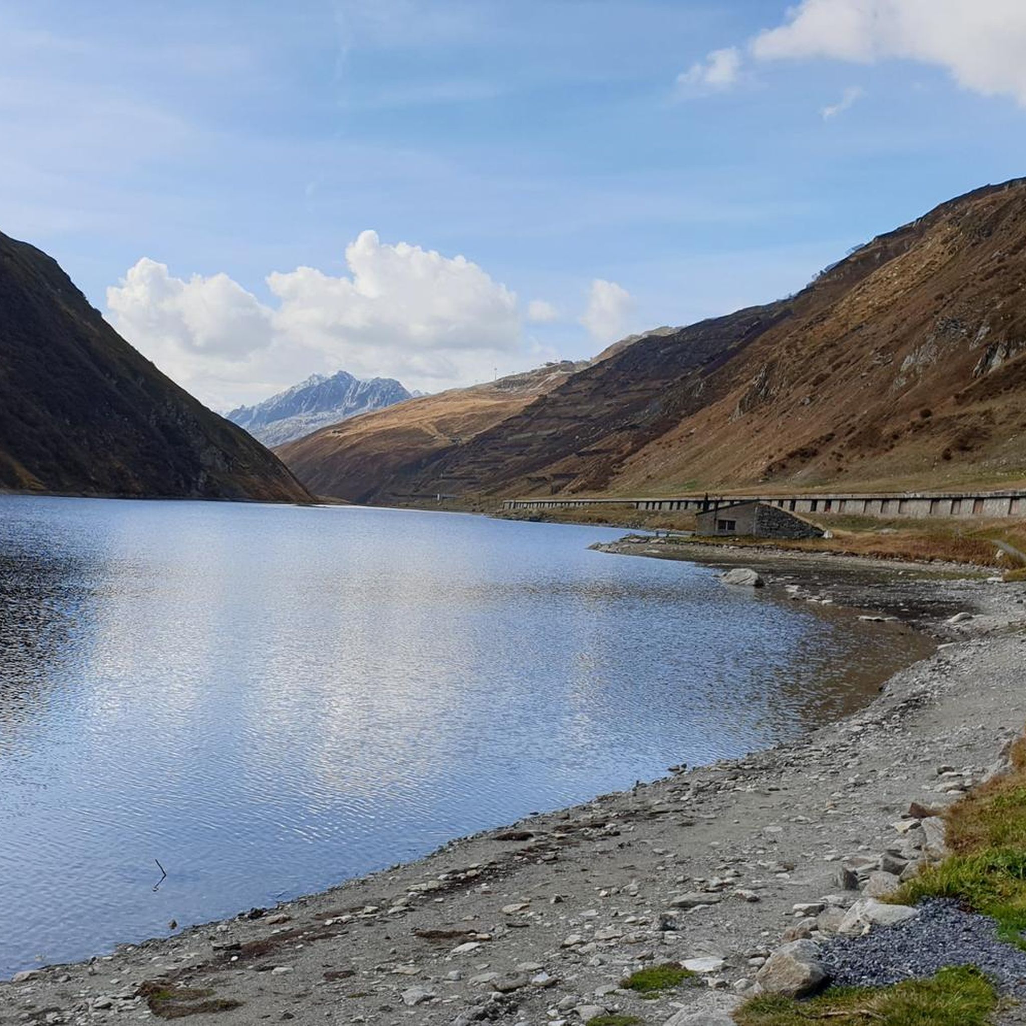
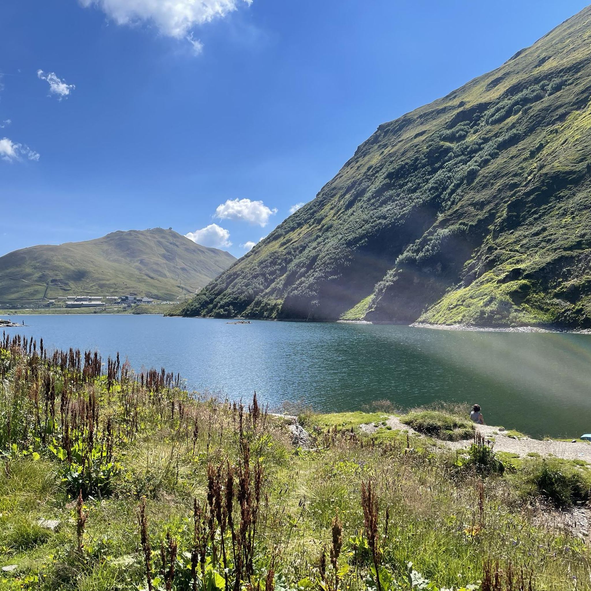
Road cycling around Oberalpsee offers stunning views of the turquoise-blue lake itself, surrounded by steep rock faces and alpine meadows. You might also spot the unique Lighthouse, a replica symbolizing the source of the Rhine, and catch glimpses of the Matterhorn Gotthard Railway. The region is also known for its wildflowers like alpine roses and gentian, especially in summer.
Are there circular road cycling routes around Oberalpsee?
Yes, many road cycling routes around Oberalpsee are designed as circular tours, allowing you to start and end in the same location. An example is the popular Oberalp Pass – Oberalp Lake loop from Oberalppass, which offers views of the pass and the lake.
Can I access road cycling routes around Oberalpsee using public transport?
Yes, the Oberalp Pass is well-served by public transport. The Matterhorn Gotthard Railway runs directly over the pass, making it convenient to reach starting points for road cycling routes. This allows cyclists to access various sections of the pass road without needing a car.
Is there parking available for road cyclists at Oberalpsee?
Parking is generally available at the Oberalp Pass, providing convenient access for road cyclists. From the pass, you can easily start various loops and routes, including those that explore the lake and surrounding areas.
What do other road cyclists enjoy the most about road cycling in Oberalpsee?
The area is highly rated by the komoot community, with an average score of 4.6 stars from over 350 reviews. Reviewers often praise the stunning alpine scenery, the well-maintained pass road with its sweeping bends, and the varied challenges offered by the routes. The relatively lower traffic compared to other passes is also frequently mentioned as a positive aspect.
Are there places to stop for refreshments or accommodation along the road cycling routes?
Yes, the area around Oberalpsee and the Oberalp Pass is dotted with mountain huts, such as Maighels and Badus huts. These huts provide simple overnight accommodation, serve as base camps for mountain tours, and offer regional dishes and refreshments, making them ideal stops during your ride.
Can I combine road cycling with other activities, like hiking, near Oberalpsee?
Absolutely. The Oberalpsee region is a hub for outdoor activities. From the Oberalp Pass, you can easily access numerous hiking trails, including the path to Lake Toma (Lai da Tuma), considered the source of the Rhine, which is about a 90-minute to two-hour hike away. This allows for a diverse outdoor experience.
Most popular routes around Oberalpsee

Get inspired with the komoot mobile app


Explore more
Browse the best Road cycling routes in other regions.
