The best mountain hikes around Oberalpsee
5.0
(26)
282
hikers
8
hikes
Mountaineering routes around Oberalpsee are set in a high-alpine environment within the Swiss Alps, centered around the Oberalp Pass at 2,046 meters above sea level and the turquoise Oberalpsee. The landscape features rugged mountainous terrain, including peaks such as Pazolastock and Rossbodenstock, and is home to the source of the Rhine River at Lake Toma. This area provides diverse challenges for mountaineers, from demanding summit ascents to routes exploring alpine lakes and passes.
Best mountaineering routes around Oberalpsee
- The most…
Last updated: October 9, 2026
5.0
(1)
9
hikers
12.9km
04:59
680m
680m
Hard mountaineering route. Good fitness required. Sure-footedness, sturdy shoes and alpine experience required.
5.0
(2)
6
hikers
18.6km
09:00
1,300m
1,300m
Hard mountaineering route. Very good fitness required. Sure-footedness, sturdy shoes and alpine experience required.

5.0
(1)
8
hikers
7.14km
03:46
640m
640m
Moderate mountaineering route. Good fitness required. Mostly accessible paths. Sure-footedness required.
4
hikers
16.7km
07:52
1,140m
1,140m
Hard mountaineering route. Very good fitness required. Sure-footedness, sturdy shoes and alpine experience required.
4.9
(20)
206
hikers
6.79km
04:00
480m
480m
Hard mountaineering route. Good fitness required. Sure-footedness, sturdy shoes and alpine experience required.
Get access to more routes and recommendations from other explorers.
Already have an account?
Our route recommendations are based on thousands of hikes, rides, and runs completed by other people on komoot.
Start today with a free account
Your next adventure awaits.
Popular around Oberalpsee
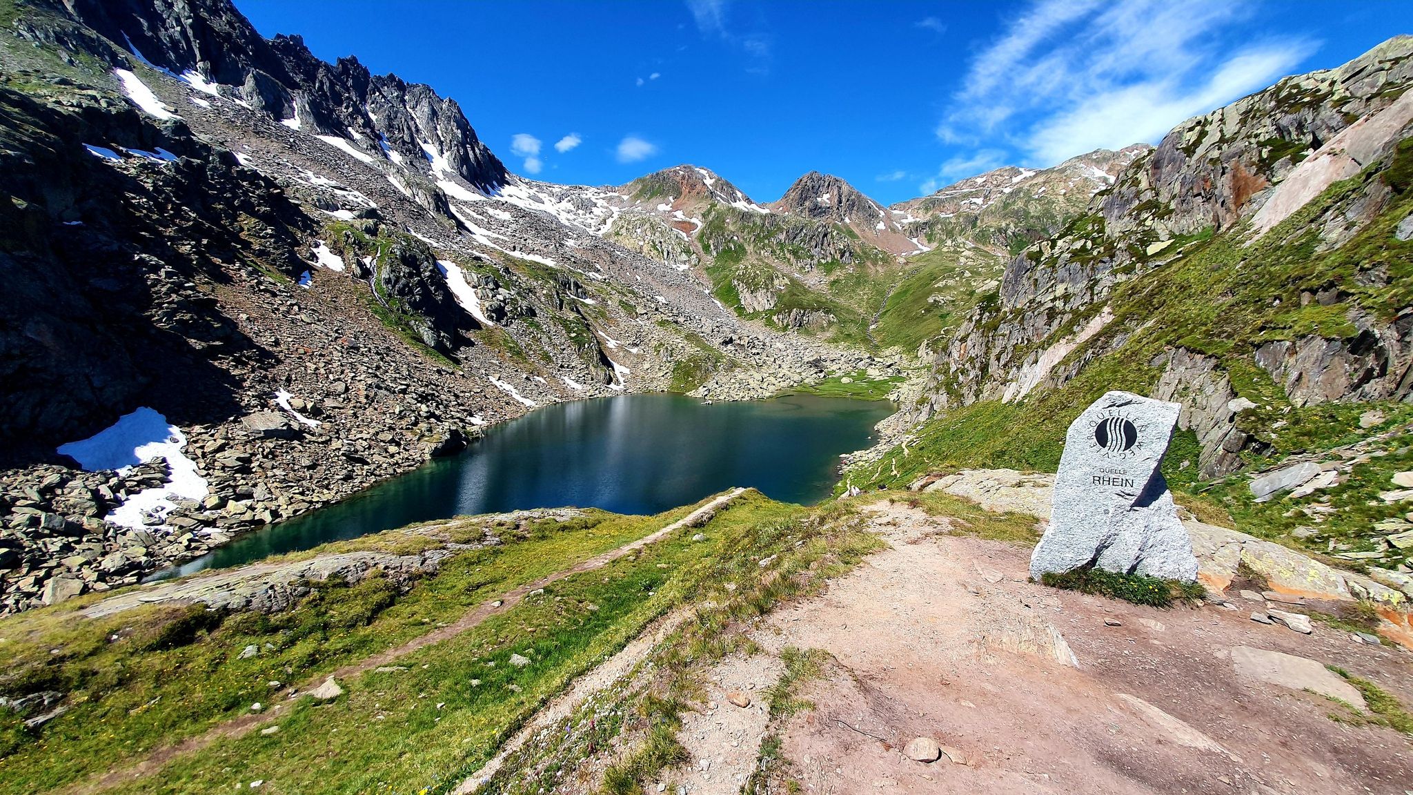
Four Springs Trail — Find flow in Switzerland's Gotthard Massif
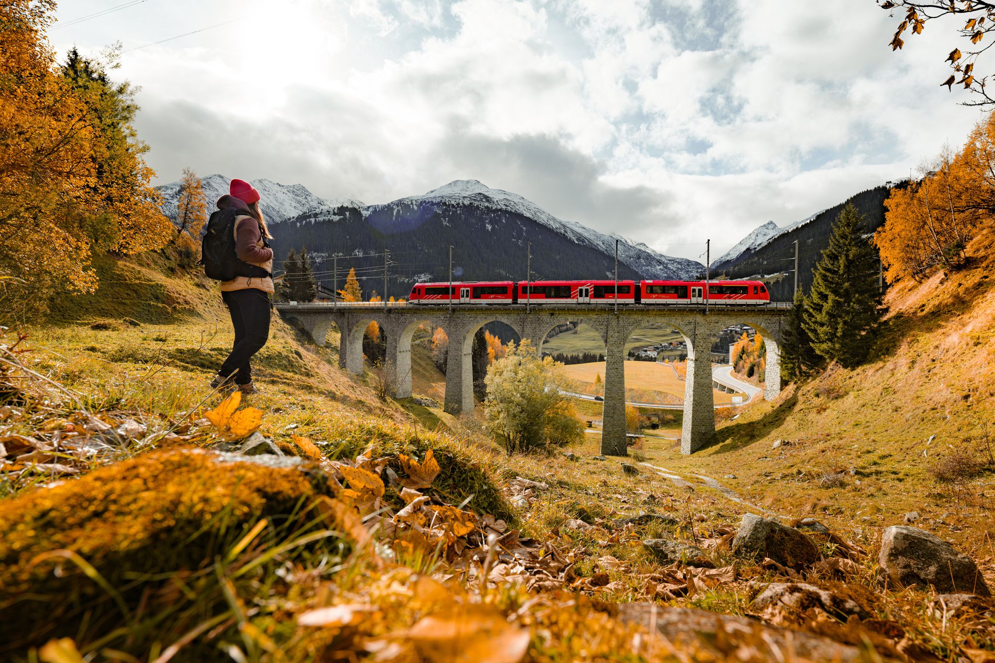
Fantastic hiking through the Alps with the Matterhorn Gotthard Railway
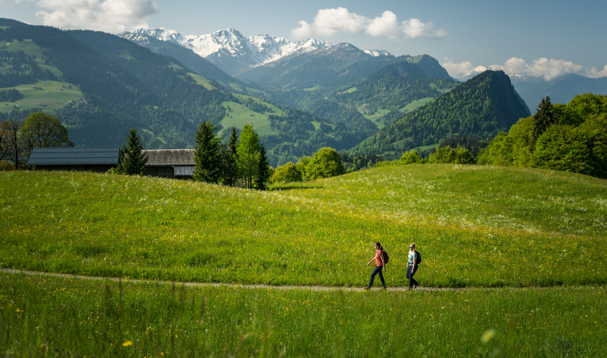
Hiking with respect and tolerance – it just makes sense!
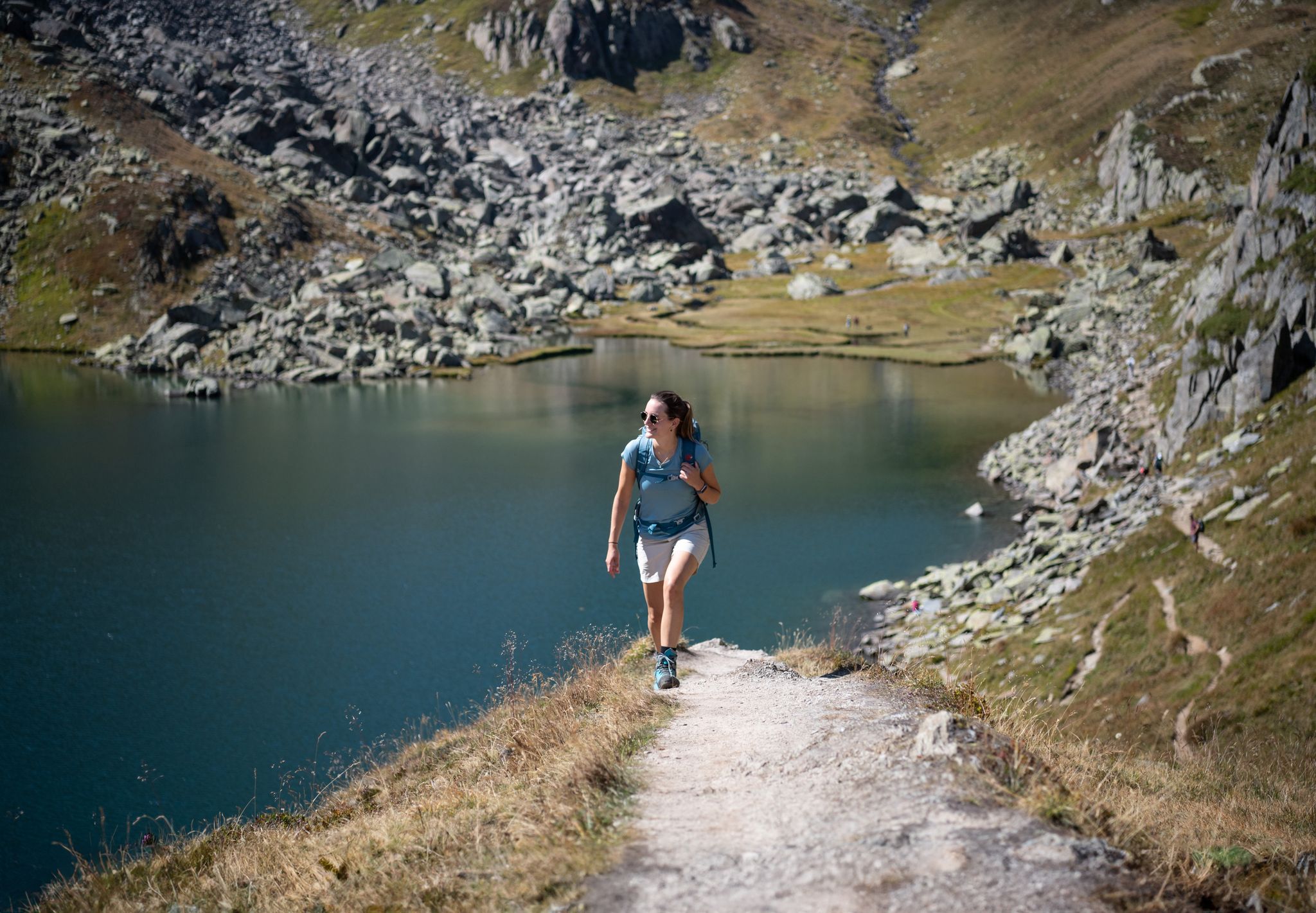
Varied hikes around the source of the mighty Rhine
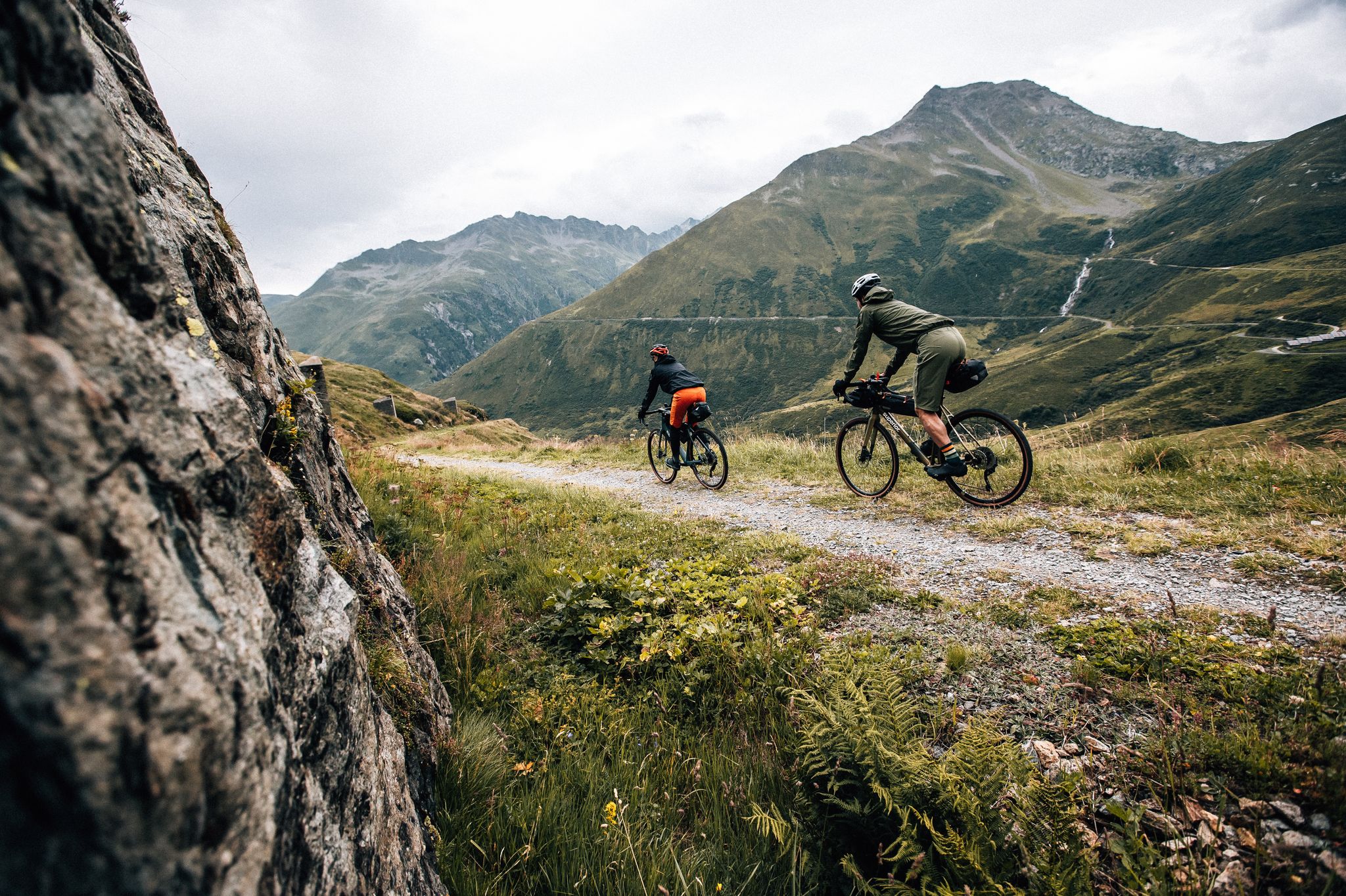
Trans Grischun – cross Graubünden on a gravel bike
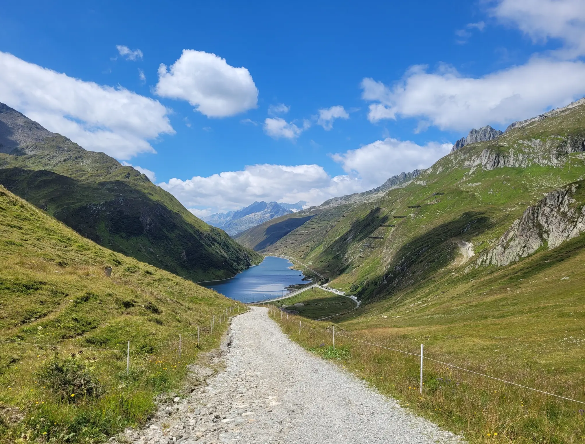
Senda Sursilvana – lungo il Giovane Reno tra natura e tradizione
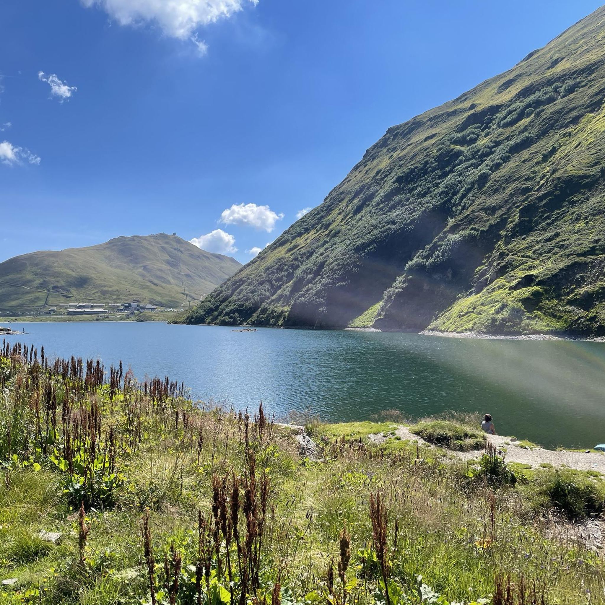
Road Cycling Routes around Oberalpsee
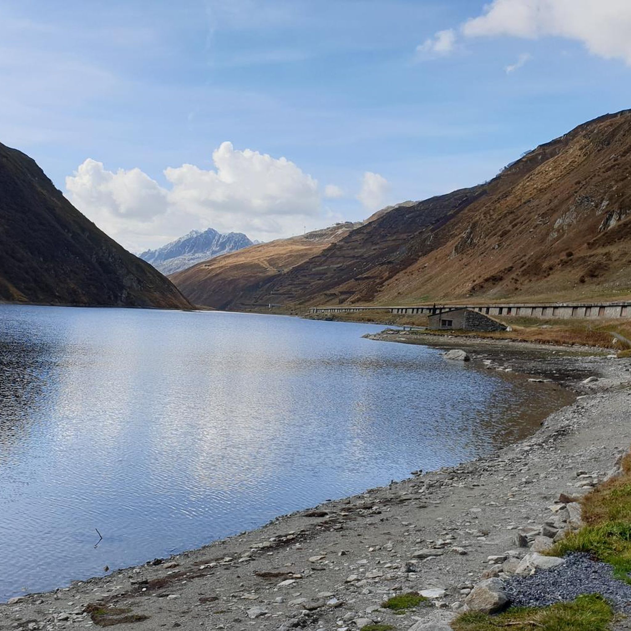
Hiking around Oberalpsee
Cycling around Oberalpsee
MTB Trails around Oberalpsee
Other adventures around Oberalpsee


Tips from the Community

It's always nice to ride through there!
0
0

A lighthouse was erected here. It refers to the mouth of the Rhine in the Netherlands into the North Sea.
0
0

The lighthouse stands on the Oberalp Pass, the Tomasee (Lai da Tuma) is nearby (you can hike there and back on a new path) is the actual beginning of the Rhine.
1
0

Engraved or rather carved into the rock, it is literally monumental.
3
0
The bubbling of the water almost covers the noise of the traffic.
5
0
The gurgling of the water adds a sense of grandeur to this beautiful place
5
0
A very pleasant shady place to ride
5
0

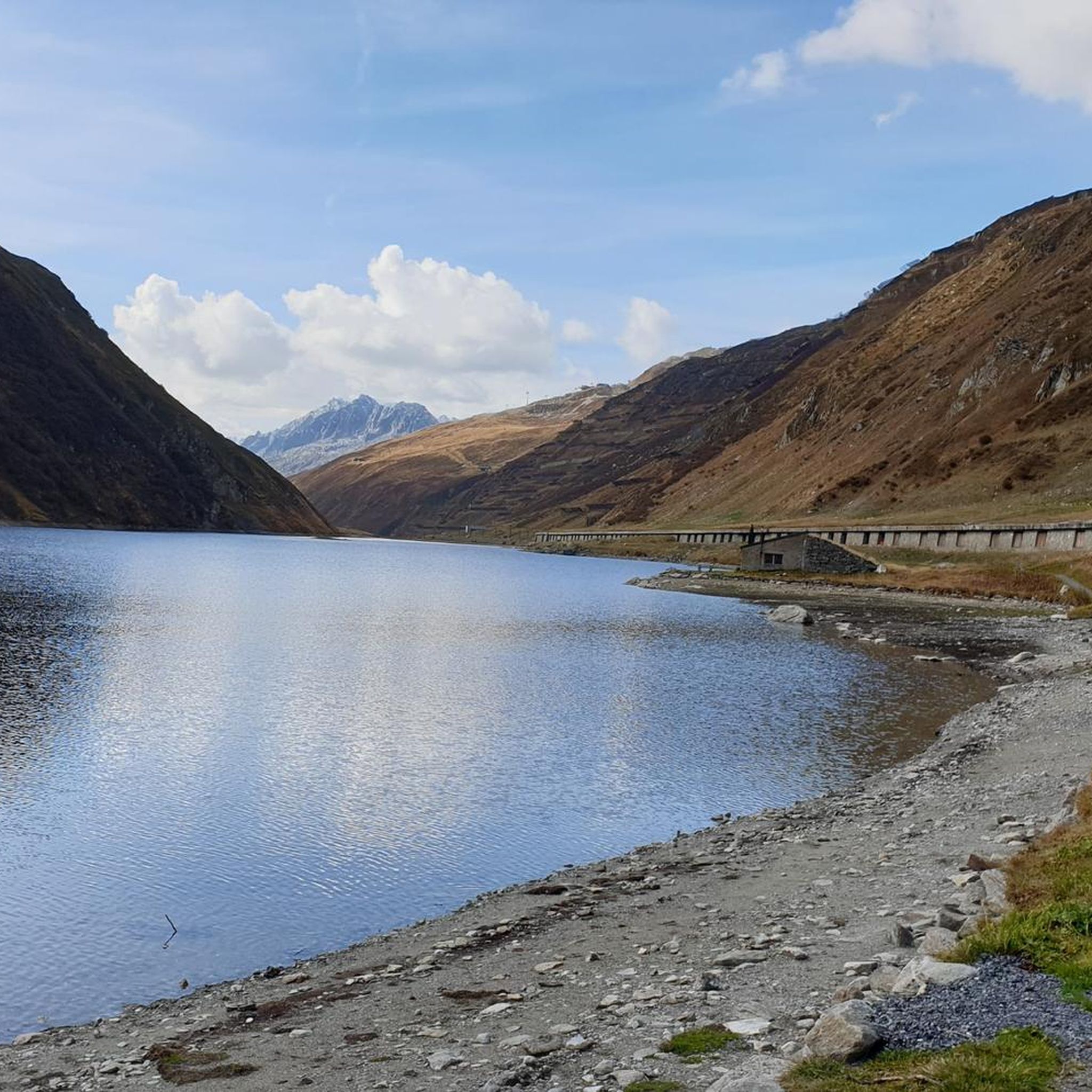
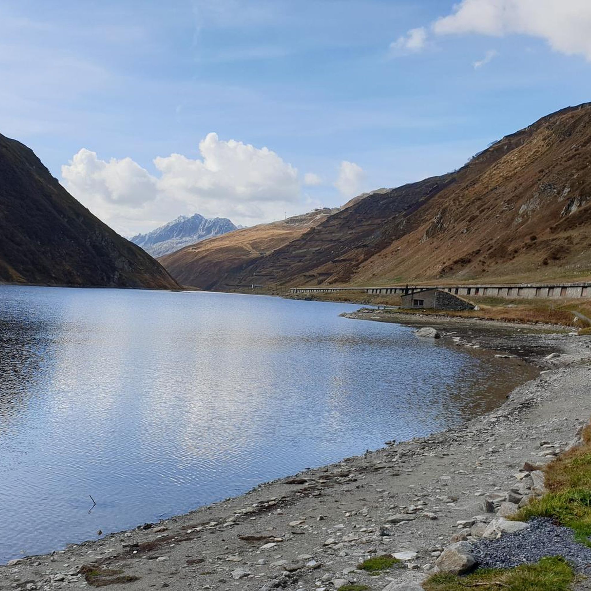
The Oberalpsee is located at an altitude of 2,028 meters directly on the Oberalp Pass between Uri and Graubünden. The clear mountain lake is the source of the Vorderrhein and a popular destination for hikers. Surrounded by alpine landscape, it invites you to linger, take photos, and enjoy the impressive mountain scenery.
7
0
Frequently Asked Questions
How many mountaineering routes are available around Oberalpsee?
There are over 10 distinct mountaineering routes around Oberalpsee, offering a variety of challenges and scenic experiences in the high-alpine environment.
What kind of difficulty can I expect from mountaineering routes in the Oberalpsee region?
The mountaineering routes around Oberalpsee are predominantly challenging, with 9 out of 11 routes rated as difficult. There are also 2 moderate routes available, but no easy mountaineering options. These routes often involve significant elevation gain and require good fitness and alpine experience.
What natural features and landmarks can I discover while mountaineering near Oberalpsee?
Many routes will lead you to the stunning turquoise Oberalpsee itself. A significant attraction is the nearby source of the Rhine River, Lake Toma (Lai da Tuma), which is accessible via several routes, including the Lake Toma (Lai da Tuma) – Tomasee (Source of the Rhine) loop from Oberalppass. You might also encounter the unique Alpine Lighthouse, a replica symbolizing the Rhine's source, located at the Oberalp Pass.
Are there any routes that offer exceptional panoramic views?
Absolutely. For extensive views, consider the Rossbodenstock Summit – Lake Toma (Lai da Tuma) loop from Oberalppass, which takes you to the Rossbodenstock Summit. Another excellent option for high mountain vistas is the Pazolastock (2,739 m) loop from Oberalppass, leading to the Pazolastock summit.
Are there any circular mountaineering routes around Oberalpsee?
Yes, many of the mountaineering routes around Oberalpsee are designed as loops. Popular circular options include the Lake Toma (Lai da Tuma) – Tomasee (Source of the Rhine) loop from Oberalppass, the Rossbodenstock Summit – Lake Toma (Lai da Tuma) loop from Oberalppass, and the Pazolastock (2,739 m) loop from Oberalppass.
What is the best time of year for mountaineering in the Oberalpsee area?
The best season for mountaineering around Oberalpsee is typically from late spring to early autumn, generally June through September, when the high-alpine trails are mostly free of snow and weather conditions are more stable. Always check current weather and trail conditions before heading out, as snow can persist at higher elevations.
Is the Oberalpsee region accessible by public transport?
Yes, the Oberalp Pass is very well connected by public transport. The Matterhorn Gotthard Railway runs year-round, and the famous Glacier Express panoramic train also reaches its highest point here, making it a convenient starting point for various tours.
Are there any family-friendly hiking options near Oberalpsee, even if not full mountaineering?
While most mountaineering routes are difficult, the area around Oberalpsee offers easier walks suitable for families. For instance, the walk along the shores of Oberalpsee itself is gentle. The hike to Lake Toma (Lai da Tuma) from Oberalp Pass is a popular option, though it still involves some ascent, it's generally considered a rewarding hike for active families. The Lutersee area is also noted as ideal for children due to its proximity to the lake.
Can I bring my dog on the mountaineering trails around Oberalpsee?
Generally, dogs are permitted on hiking and mountaineering trails in Switzerland, but it's crucial to keep them on a leash, especially in nature reserves, near livestock, and in areas with wildlife. Always carry water for your dog and be mindful of their physical limits in challenging alpine terrain. Specific restrictions might apply in certain areas, so look for local signage.
What amenities are available near the Oberalp Pass for mountaineers?
At the Oberalp Pass, you'll find basic amenities. There are restaurants and cafes available. For accommodation, the Maighels and Badus huts, run by the Swiss Alpine Club, provide lodging and serve as excellent base camps for mountain and climbing tours in the region.
What do other mountaineers enjoy most about the routes around Oberalpsee?
The mountaineering routes around Oberalpsee are highly rated by the komoot community, with an average score of 5.0 stars. Reviewers often praise the stunning high-alpine landscapes, the challenge of the summit ascents, and the unique experience of visiting the source of the Rhine River at Lake Toma.
Are there any less crowded mountaineering paths if I prefer solitude?
While specific routes can vary in popularity, exploring paths that deviate from the most direct routes to Lake Toma or the main summits might offer more solitude. The region's extensive network means that with a bit of planning, you can often find serene and secluded climbing venues, particularly on the north side of the pass, or choose routes like the Lolenpass – Lake Toma (Lai da Tuma) loop from Oberalppass which might be less frequented than the most popular loops.
Most popular routes around Oberalpsee

Get inspired with the komoot mobile app


Explore more
Browse the best Mountain Hikes & Routes in other regions.
