The best road cycling routes around Setesdal Vesthei - Ryfylkeheiane landskapsvernområde
5.0
(7)
197
riders
8
rides
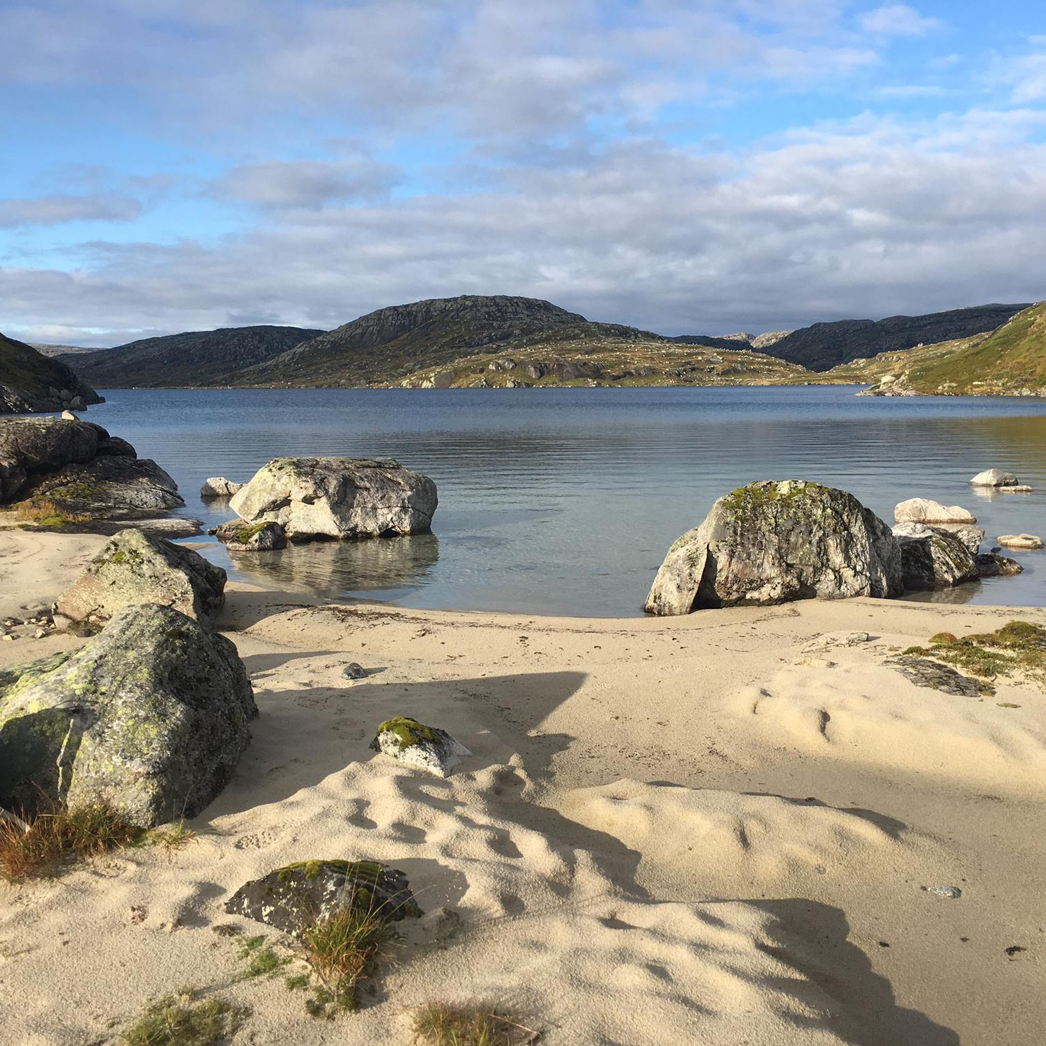
Road cycling routes around Setesdal Vesthei - Ryfylkeheiane landskapsvernområde traverse a varied landscape, from dramatic fjord scenery in the west to high mountains and undulating heathland dotted with numerous lakes in the east. The region features bare, windswept moors, birch scrub, and pine forests, transitioning to rugged terrain with smooth rock faces at higher elevations. Roads often follow valleys and climb through mountain passes, offering diverse terrain for road cyclists.
Best road cycling routes around Setesdal Vesthei - Ryfylkeheiane landskapsvernområde
- The most popular road cycling route is Beautiful lake views – Lysebotn Tunnel loop from Ådneram Fjellgrend, a 34.9 miles (56.2 km) trail that takes 3 hours 35 minutes to complete. This difficult route features significant elevation gain and scenic lake views.
- Another top favourite among local road cyclists is Ortevatnet – Kvislevatnet loop from Fidjeland, a difficult 42.8 miles (68.9 km) path. This route offers a challenging ride through a landscape characterized by lakes and open terrain.
- Local road cyclists also love the Tjaldalsvatnet – Dåsvatn loop from Bortelid, a 66.5 miles (107.1 km) trail leading through a landscape of lakes and forests, often completed in about 4 hours 59 minutes.
- Road cycling around Setesdal Vesthei - Ryfylkeheiane landskapsvernområde is defined by fjord scenery, high mountain passes, and extensive heathlands. The network offers options for various ability levels, from moderate to difficult.
- The routes in Setesdal Vesthei - Ryfylkeheiane landskapsvernområde are highly rated by the komoot community with an average score of 4.75 stars from over 11 reviews. More than 400 road cyclists have used komoot to explore Setesdal Vesthei - Ryfylkeheiane landskapsvernområde's varied terrain.
Last updated: July 12, 2026
5.0
(2)
24
riders
95.0km
05:04
1,600m
1,600m
Hard road ride. Very good fitness required. Some segments of this route may be unpaved and difficult to ride.
16
riders
108km
05:10
1,300m
1,300m
Hard road ride. Very good fitness required. Some segments of this route may be unpaved and difficult to ride.

Sign up for free
5.0
(4)
135
riders
23.7km
01:46
950m
950m
Cycle the Lysebotn Pass, a difficult 14.7-mile route on National Cycle Route 2, featuring 27 switchbacks and stunning fjord views.
8
riders
50.3km
02:48
970m
970m
Hard road ride. Very good fitness required. Some segments of this route may be unpaved and difficult to ride.
9
riders
36.3km
02:00
670m
670m
Moderate road ride. Good fitness required. Mostly well-paved surfaces and easy to ride.
Get access to more routes and recommendations from other explorers.
Sign up for free
Already have an account?
Our route recommendations are based on thousands of hikes, rides, and runs completed by other people on komoot.
Start today with a free account
Your next adventure awaits.
Login or Signup
Popular around Setesdal Vesthei - Ryfylkeheiane landskapsvernområde
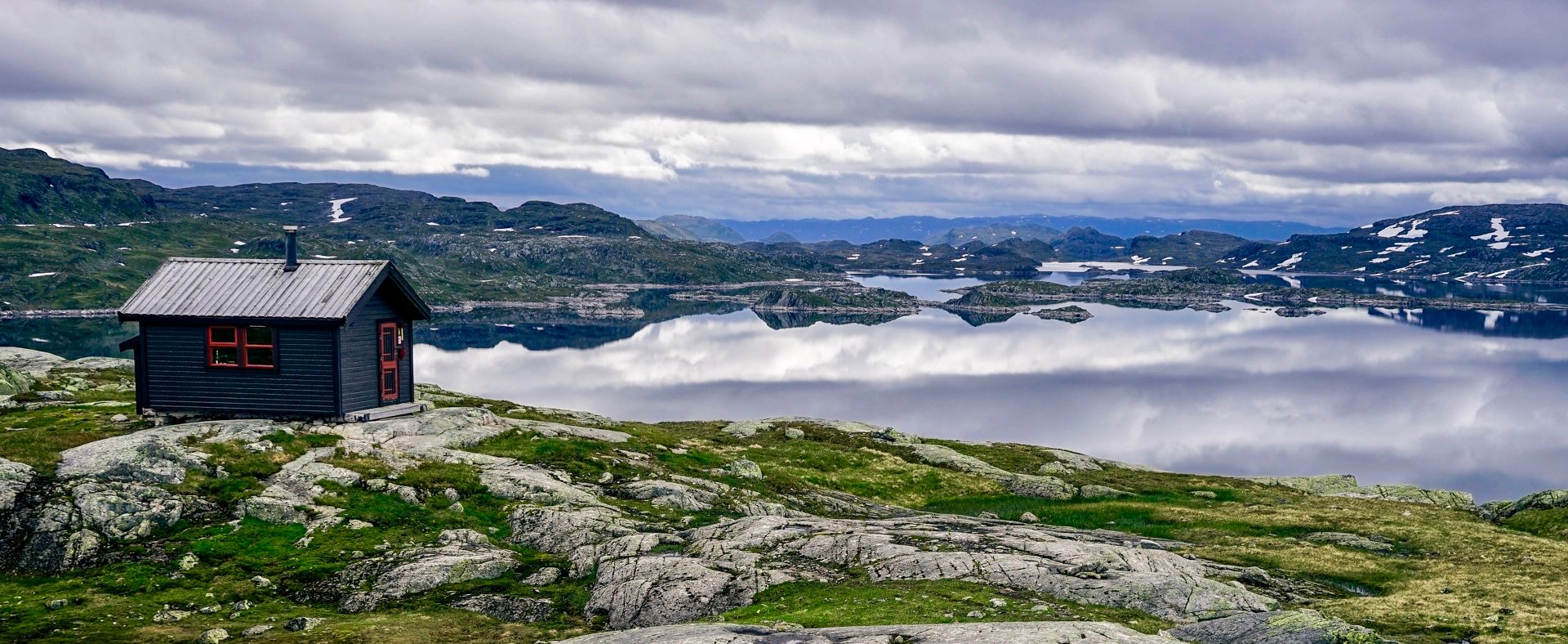
150 km in the Wilderness of Norway
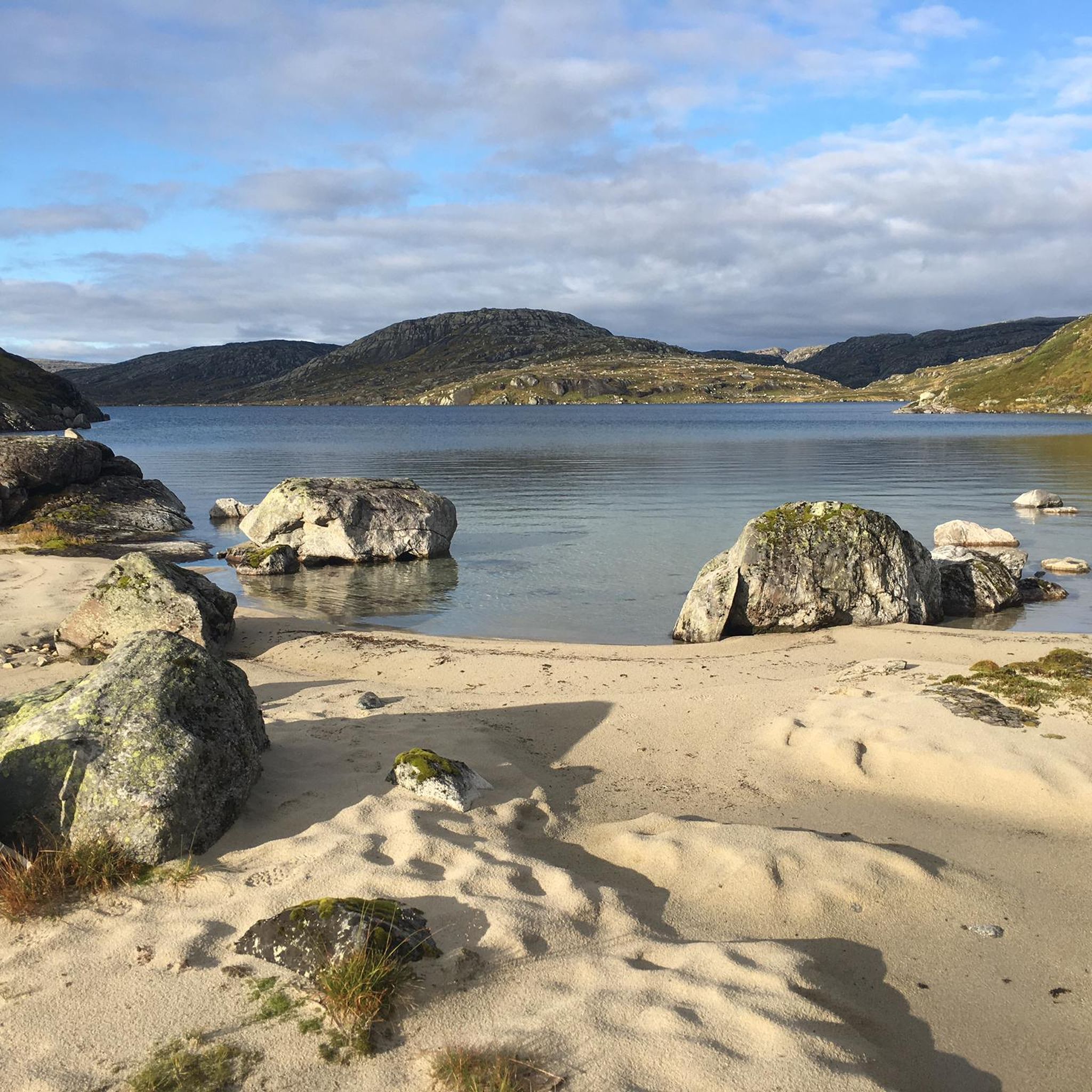
Hiking around Setesdal Vesthei - Ryfylkeheiane landskapsvernområde
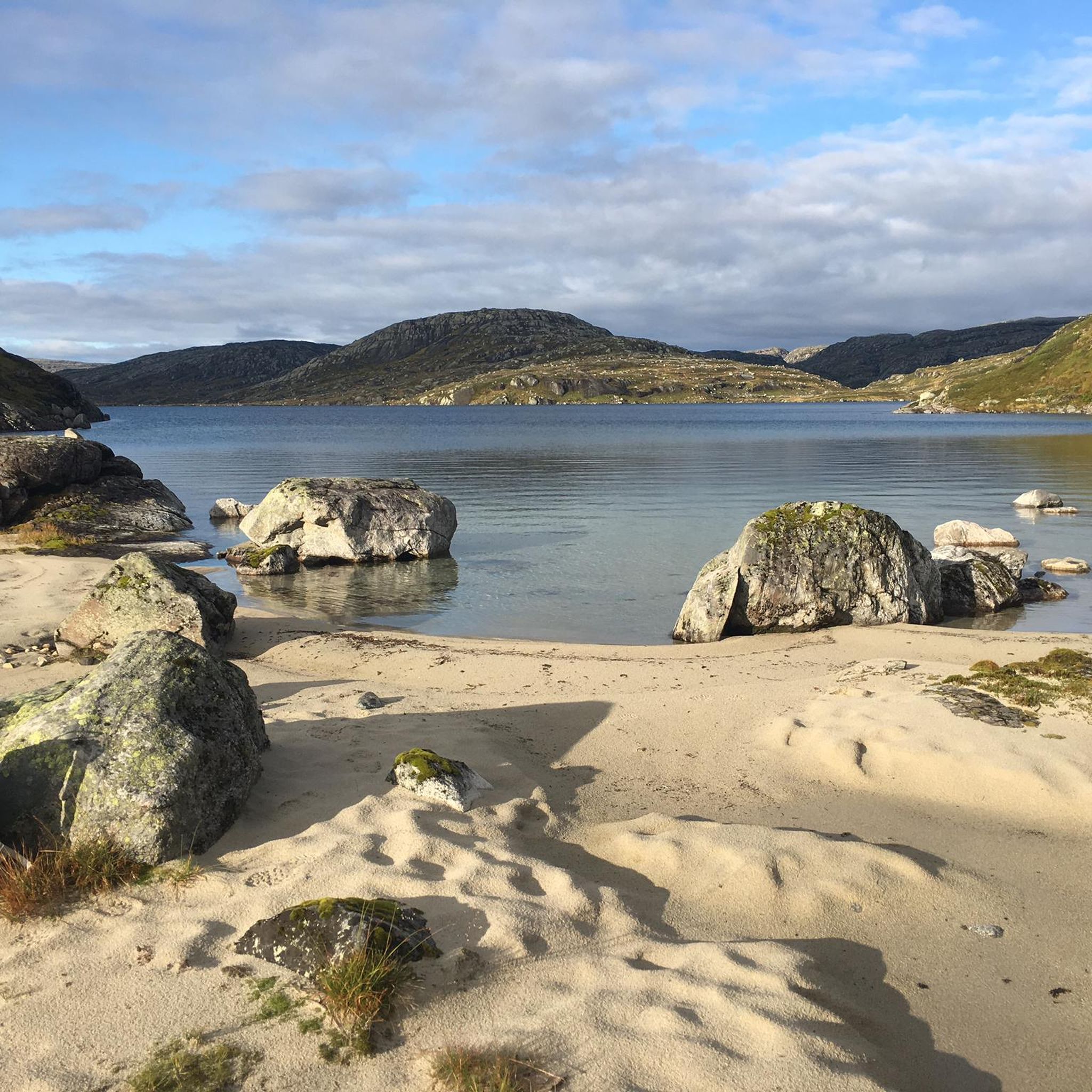
Cycling around Setesdal Vesthei - Ryfylkeheiane landskapsvernområde
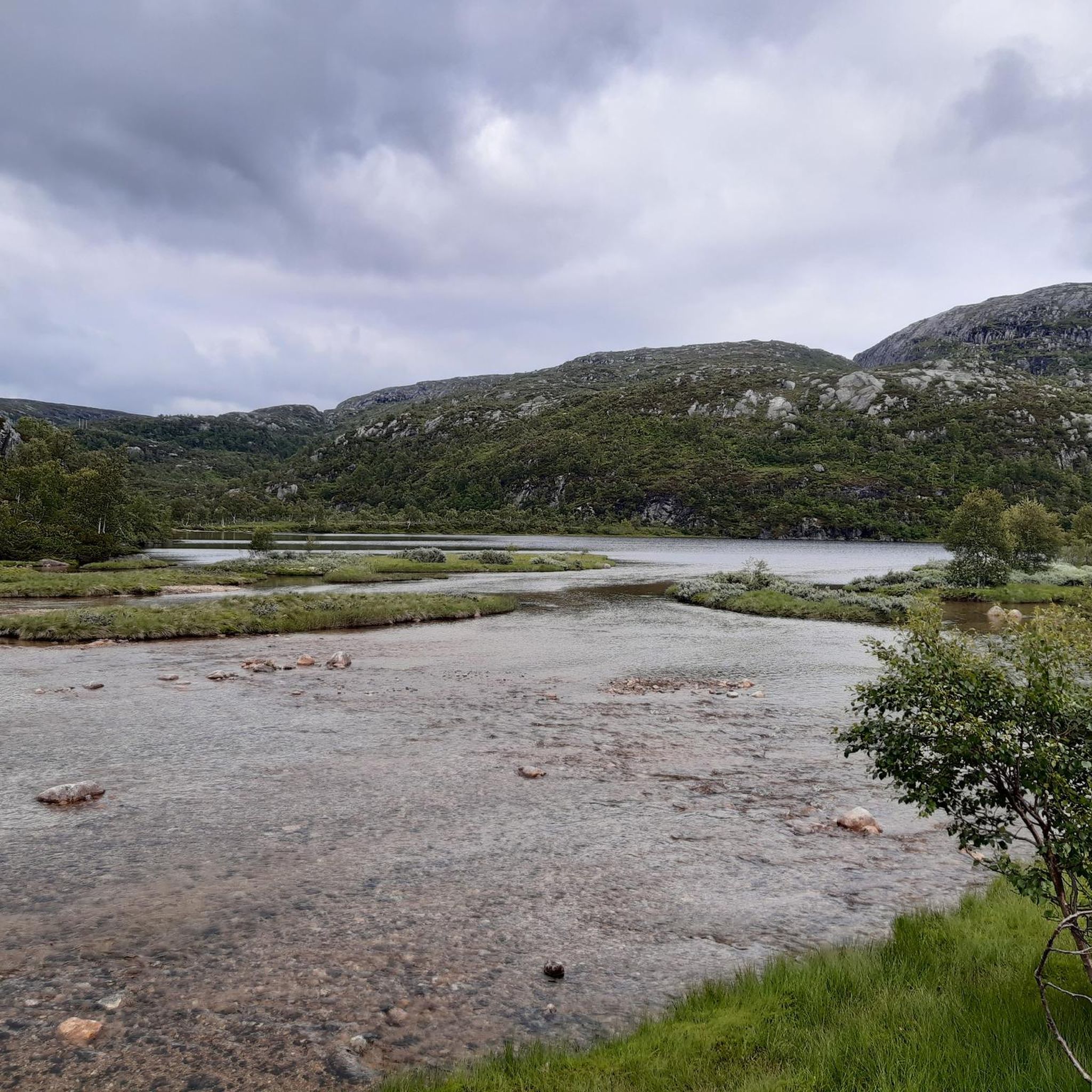
Running Trails around Setesdal Vesthei - Ryfylkeheiane landskapsvernområde
MTB Trails around Setesdal Vesthei - Ryfylkeheiane landskapsvernområde
Other adventures around Setesdal Vesthei - Ryfylkeheiane landskapsvernområde

Tips from the Community

The views crossing over the Bjørnevassåni River bridge here on the outskirts of Brokkestøylen are beautiful. The distant mountain views mixed in with woodland with a meandering river in the foreground make for a gorgeous opportunity for a photograph. It gives a typical Norwegian aura of tranquillity.
0
0

Whilst the view from the summit of Løefjell is magnificent, admiring the mountain from the valley is also a pleasure. If you’re planning to make the climb, you can get a sense of the challenge that lies ahead.
0
0

Nice cafe halfway up Lysebotn Pass, serving everything you need to get the rest of the way up the climb (or celebrate on your way down!) The real highlight is the view of the stunning switchbacks.
0
0

What a stunning view. A typical Fjord paradise from the harbour of Lysebotn. Before taking on the famous pass, enjoy the view and the pretty village.
0
0
Lovely views of the (often frozen) lakes at the top of the Lysebotn pass. Well worth the effort of the stunning climb, just make sure you've got a layer to put on at the top, it can be cold.
0
0
Frequently Asked Questions
How many road cycling routes are available in Setesdal Vesthei - Ryfylkeheiane landskapsvernområde?
There are 15 road cycling routes available in the Setesdal Vesthei - Ryfylkeheiane landskapsvernområde, offering a diverse range of experiences for cyclists.
What is the typical difficulty level of road cycling routes in this region?
The routes in Setesdal Vesthei - Ryfylkeheiane landskapsvernområde range from moderate to difficult. There are 6 moderate routes and 8 difficult routes, with one easy option available, ensuring choices for various skill levels.
What kind of terrain can I expect when road cycling here?
You can expect a varied landscape, from dramatic fjord scenery in the west, including the Lysefjord, to high mountains and vast, undulating heathland dotted with numerous idyllic lakes in the east. The terrain includes bare, windswept moors, birch scrub, pine forests, and rugged sections with smooth rock faces at higher elevations. Roads often follow valleys and climb through mountain passes.
What are some notable landmarks or attractions along the road cycling routes?
The region offers several striking attractions. You can experience the scenic Lysevegen Road, known for its dramatic views. Other points of interest include the Stavbrokka Pass and various DNT cabins like Bossbu Cabin by Botnsvatnet, which offer unique opportunities to explore the mountain landscape.
When is the best time of year for road cycling in Setesdal Vesthei - Ryfylkeheiane landskapsvernområde?
The best time for road cycling is generally during the summer season. Roads like the Brokke-Suleskard Road (Fv45), which traverses the protected area, are typically closed between November 1st and May 20th due to snow, indicating that late spring through early autumn offers the most accessible and pleasant conditions.
Are there any challenging road cycling routes for experienced riders?
Yes, the region is known for its challenging routes. For instance, the Beautiful lake views – Lysebotn Tunnel loop from Ådneram Fjellgrend is a difficult 56.2 km trail with significant elevation gain. Another demanding option is the Ortevatnet – Kvislevatnet loop from Fidjeland, a 68.9 km path through a landscape of lakes and open terrain.
Can I find circular road cycling routes in the area?
Yes, several routes are designed as loops, allowing for circular tours. Examples include the Beautiful lake views – Lysebotn Tunnel loop from Ådneram Fjellgrend, the Ortevatnet – Kvislevatnet loop from Fidjeland, and the Tjaldalsvatnet – Dåsvatn loop from Bortelid.
What do other cyclists say about road cycling in Setesdal Vesthei - Ryfylkeheiane landskapsvernområde?
The area is highly rated by the komoot community, with an average score of 4.75 stars from over 11 reviews. Cyclists often praise the stunning fjord scenery, high mountain passes, and extensive heathlands, as well as the diverse options for various ability levels.
Are there any easy or family-friendly road cycling routes?
While many routes are moderate to difficult, there is at least one easy route available, making it possible to find options suitable for less experienced riders or families. It's always recommended to check the specific route details for elevation and distance to ensure it matches your group's capabilities.
What are the road surface conditions like for road bikes?
Most main routes are paved and suitable for road bikes. However, some areas, particularly those less traveled, might include gravel sections. For example, some gravel roads, like the one from Rv. 9 towards Galten, are closed to general vehicle traffic but are ideal for cycling, offering a quieter experience. Always check route descriptions for specific surface information.
Is public transport available for cyclists with bikes in the region?
Information regarding specific public transport options that accommodate bikes is limited. It is advisable to check with local transport providers directly for their policies on carrying bicycles, especially for longer journeys into or out of the protected area.
Where can I find parking for my car when starting a road cycling route?
Specific parking locations are often available at the start points of popular routes or near key attractions. For example, routes starting from Ådneram Fjellgrend or Fidjeland likely have designated parking areas. It's recommended to check the individual route descriptions on komoot for detailed information on parking facilities.
Are there places to stay overnight for cyclists, such as cabins or accommodation?
Yes, the region features a network of DNT (Norwegian Trekking Association) cabins, such as Bossbu Cabin by Botnsvatnet, Stavskar in Setesdal Vesthei, and Kringlevatn Cabin. These offer unique opportunities for exploring the mountain landscape and provide accommodation for multi-day trips. Additionally, there may be other guesthouses or hotels in nearby towns.
Most popular routes around Setesdal Vesthei - Ryfylkeheiane landskapsvernområde
Most popular attractions around Setesdal Vesthei - Ryfylkeheiane landskapsvernområde

Get inspired with the komoot mobile app


Explore more
Browse the best Road cycling routes in other regions.
