The best running trails in the Tras-os-monte
4.4
(94)
4,457
runners
378
runs
Jogging in the Tras-os-monte offers diverse terrain across a region characterized by rugged mountains, deep valleys, and expansive plateaus. This northeastern Portuguese area is home to significant natural parks like Montesinho and Douro International, providing extensive networks of trails. Runners can explore varied landscapes, from high-altitude "Terra Fria" to warmer "Terra Quente" zones, with routes often following riverbanks or winding through traditional villages. The natural features create a range of running experiences suitable for different fitness levels.
Best jogging routes…
Last updated: July 7, 2026
5.0
(1)
80
runners
32.0km
04:22
1,150m
990m
Hard run. Very good fitness required. Mostly paved surfaces. Suitable for all skill levels.
15
runners
6.70km
01:03
390m
390m
Hard run. Very good fitness required. Mostly paved surfaces. Suitable for all skill levels.

Sign up for free
3
runners
21.2km
03:52
950m
950m
Hard run. Very good fitness required. Sure-footedness, sturdy shoes and alpine experience required.
3
runners
20.3km
02:27
510m
510m
Hard run. Very good fitness required. Mostly paved surfaces. Suitable for all skill levels.
1
runners
19.2km
02:47
820m
820m
Hard run. Very good fitness required. Sure-footedness, sturdy shoes and alpine experience required.
79.5km
11:18
3,050m
3,050m
Hard run. Very good fitness required. Sure-footedness, sturdy shoes and alpine experience required.
5.0
(2)
118
runners
10.9km
01:07
30m
30m
Moderate run. Good fitness required. Mostly paved surfaces. Suitable for all skill levels.
110
runners
36.3km
04:31
1,180m
1,180m
Hard run. Very good fitness required. Sure-footedness, sturdy shoes and alpine experience required.
5.0
(2)
113
runners
9.84km
01:01
20m
20m
Moderate run. Good fitness required. Mostly paved surfaces. Suitable for all skill levels.
5.0
(2)
95
runners
12.1km
01:15
50m
50m
Moderate run. Good fitness required. Mostly paved surfaces. Suitable for all skill levels.
Get access to more routes and recommendations from other explorers.
Sign up for free
Already have an account?
Our route recommendations are based on thousands of hikes, rides, and runs completed by other people on komoot.
Start today with a free account
Your next adventure awaits.
Login or Signup
Popular around Tras-os-monte
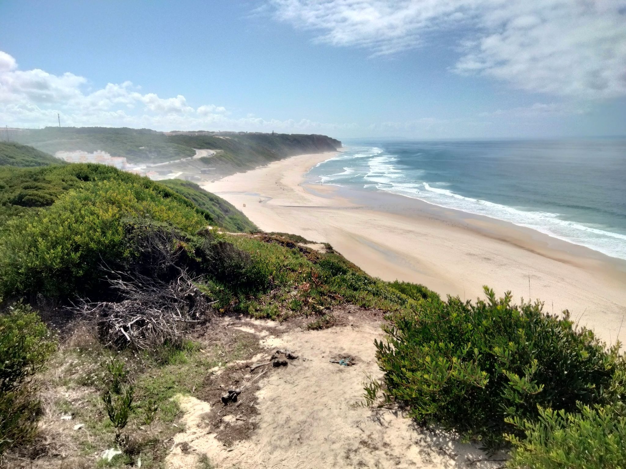
Portugal's Atlantic coast (north) – from Caminha to Lisbon
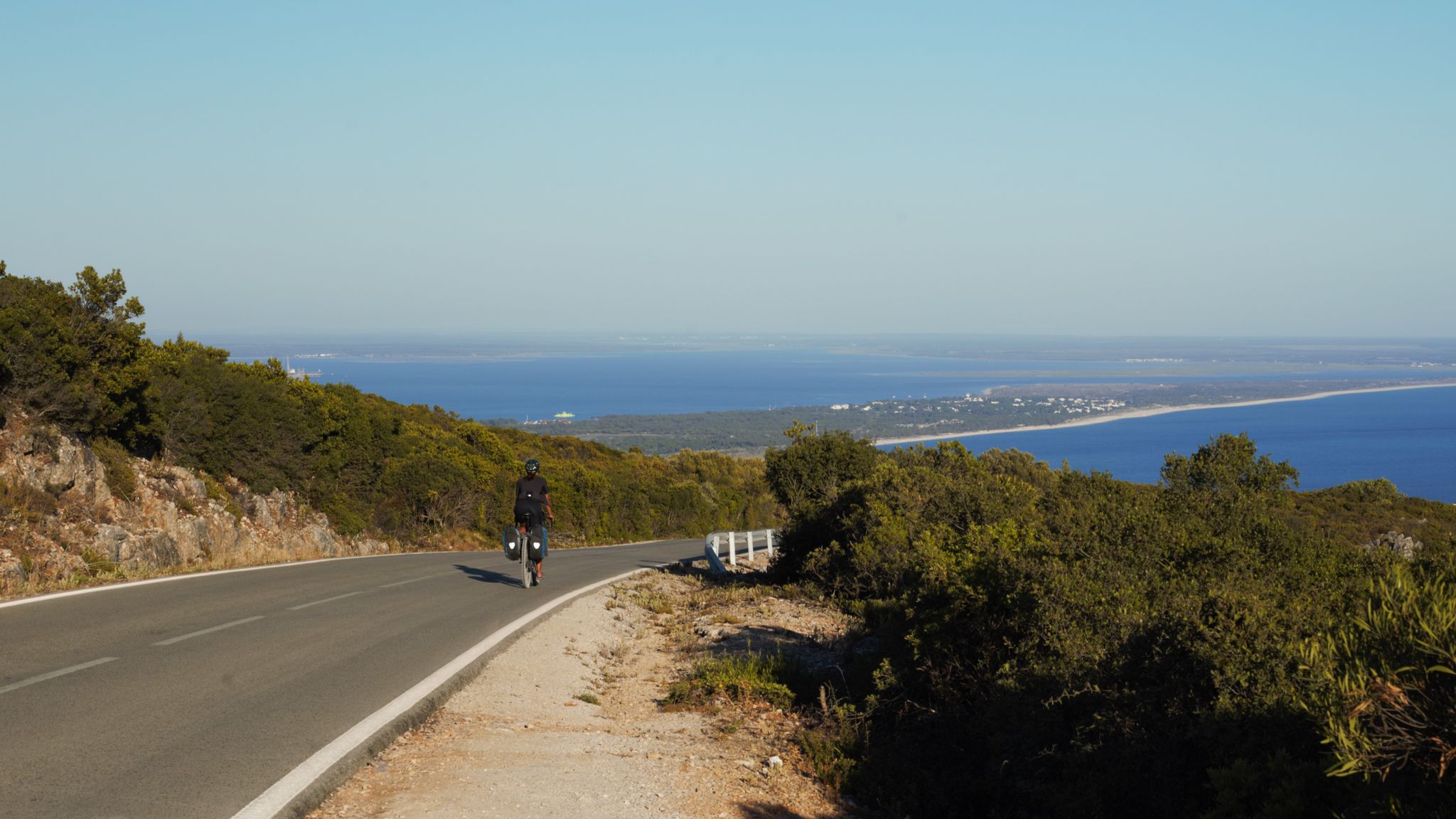
The breaking waves – cycle along the Atlantic coast of Portugal
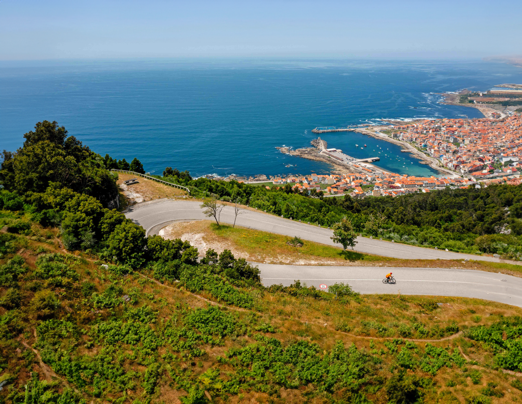
With TOUR in Northern Portugal
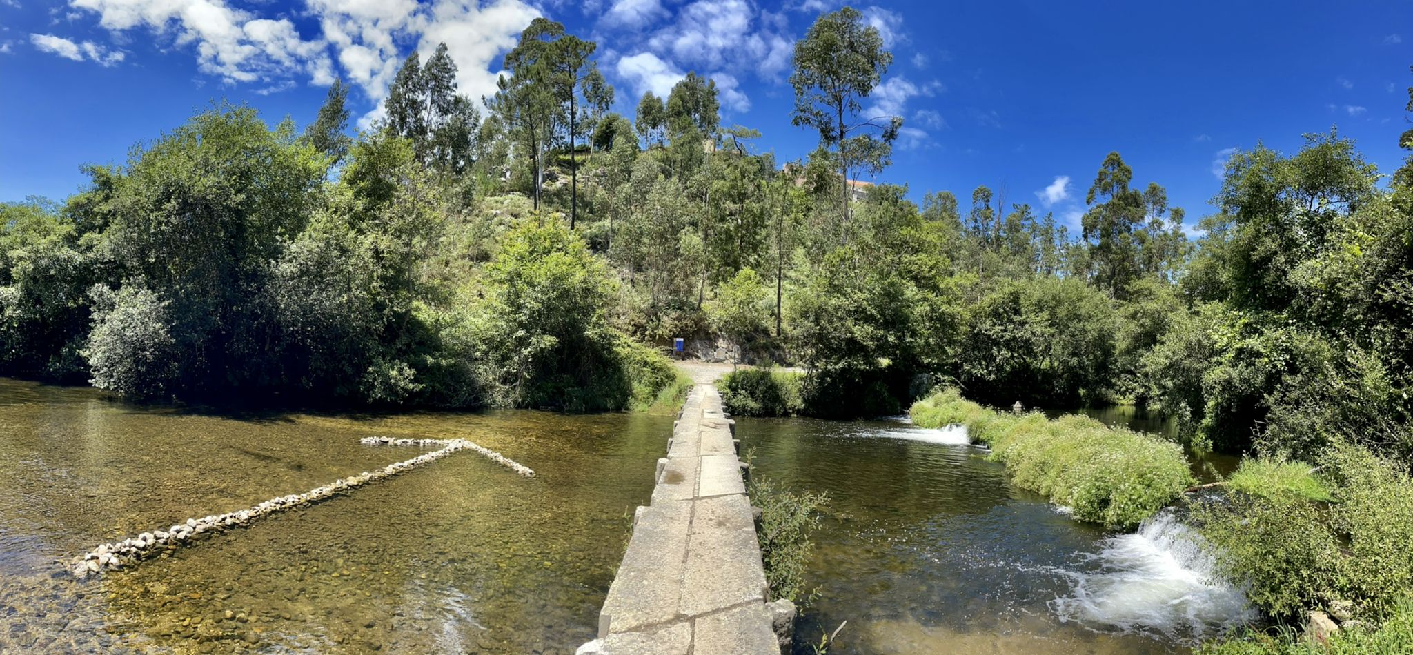
The challenge that knows no frontiers — Portuguese Coast Path
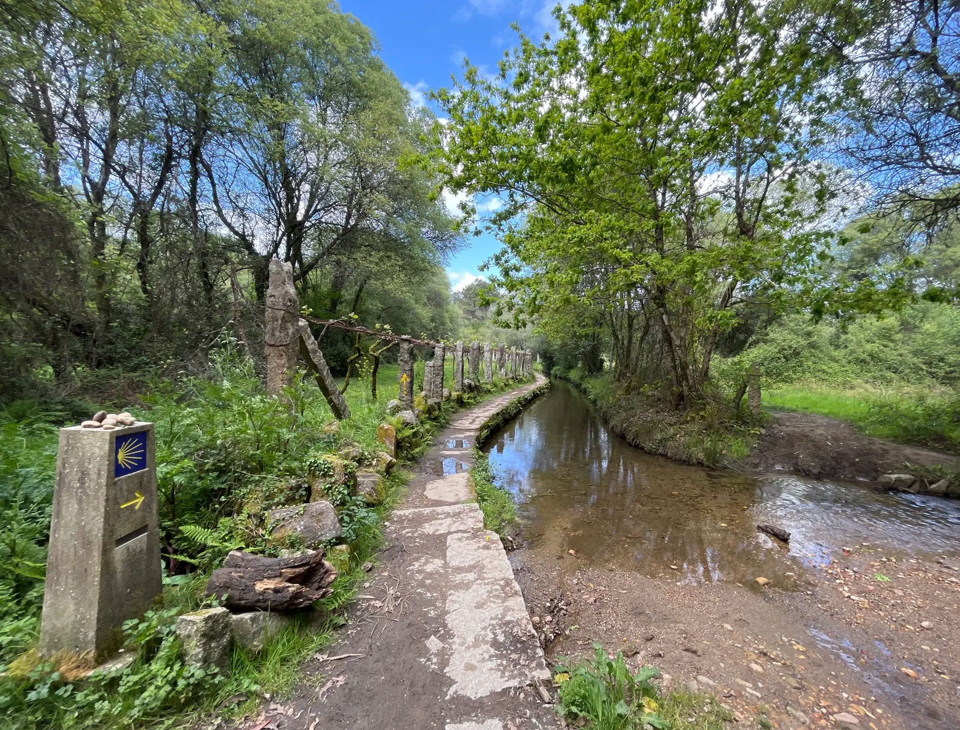
Na Rota dos Peregrinos – o Caminho Central Português
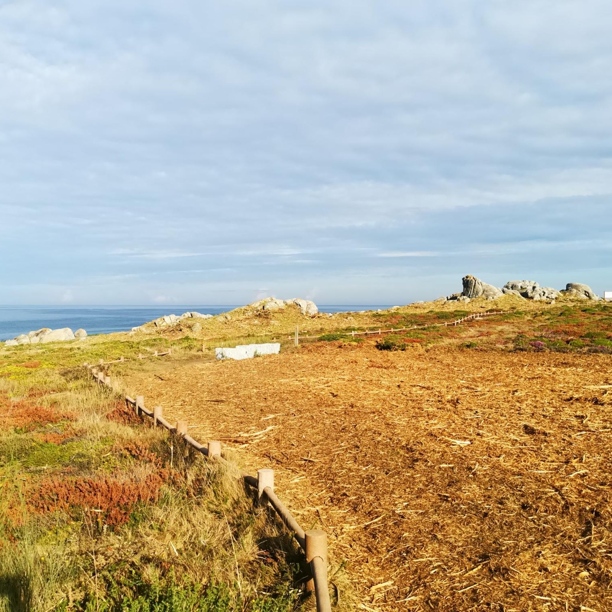
Hiking in the Tras-os-monte
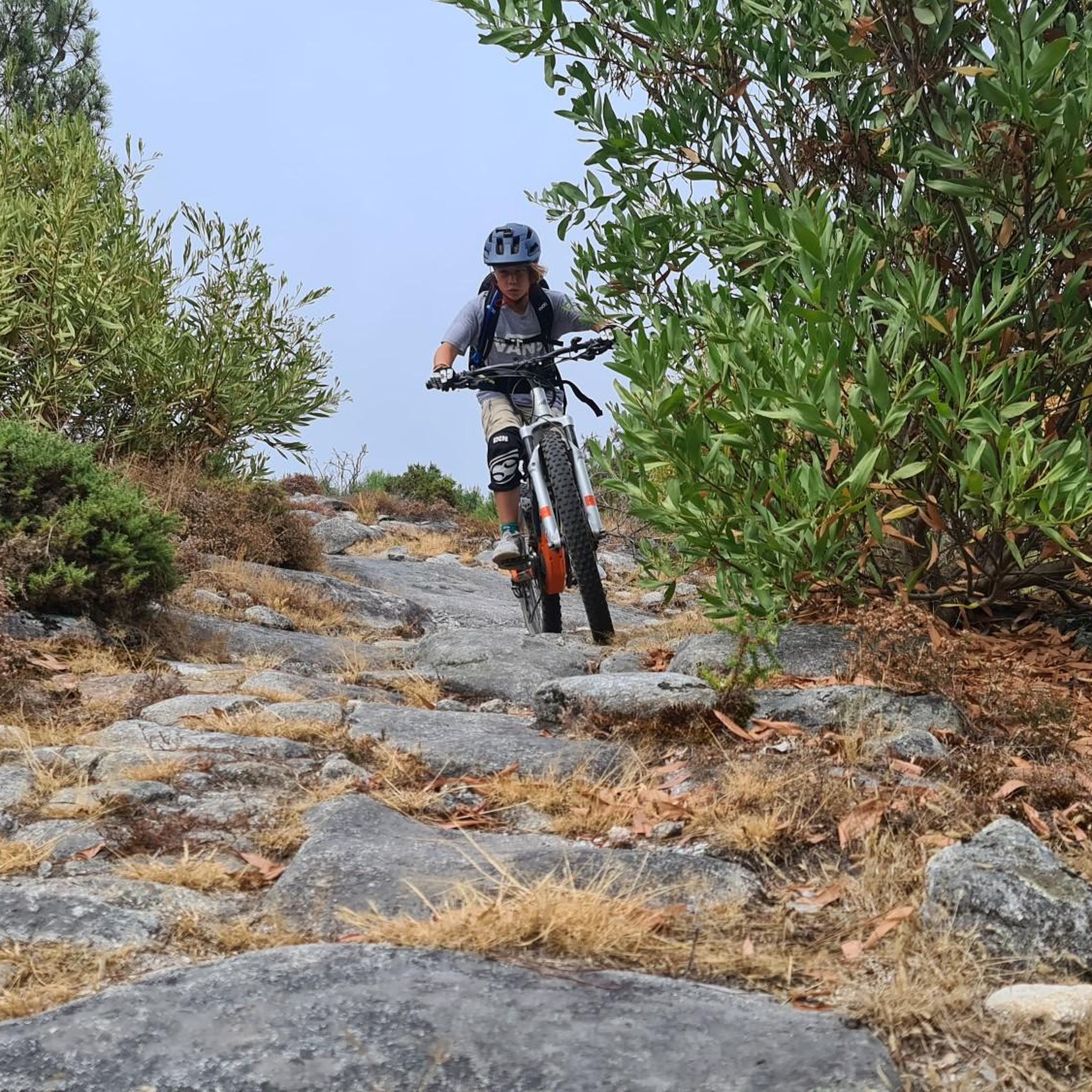
MTB Trails in the Tras-os-monte
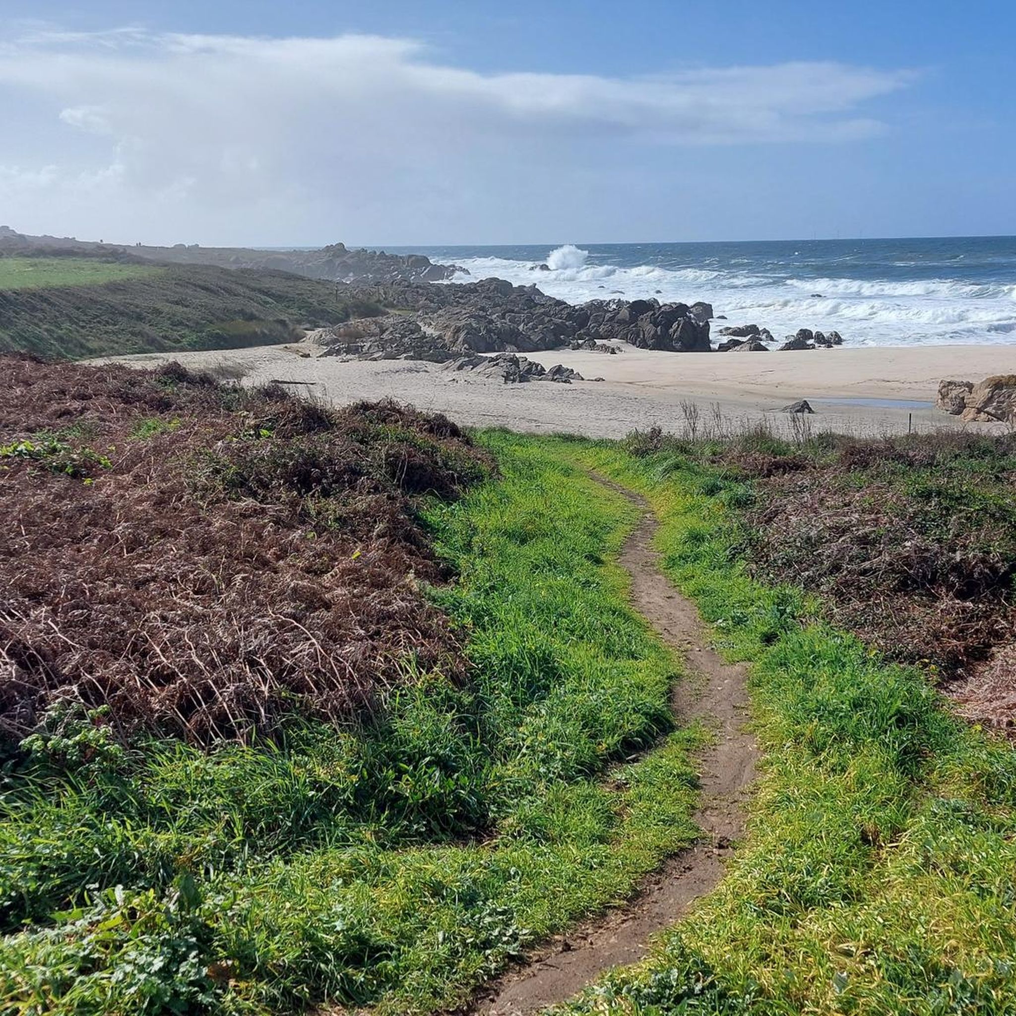
Cycling in the Tras-os-monte
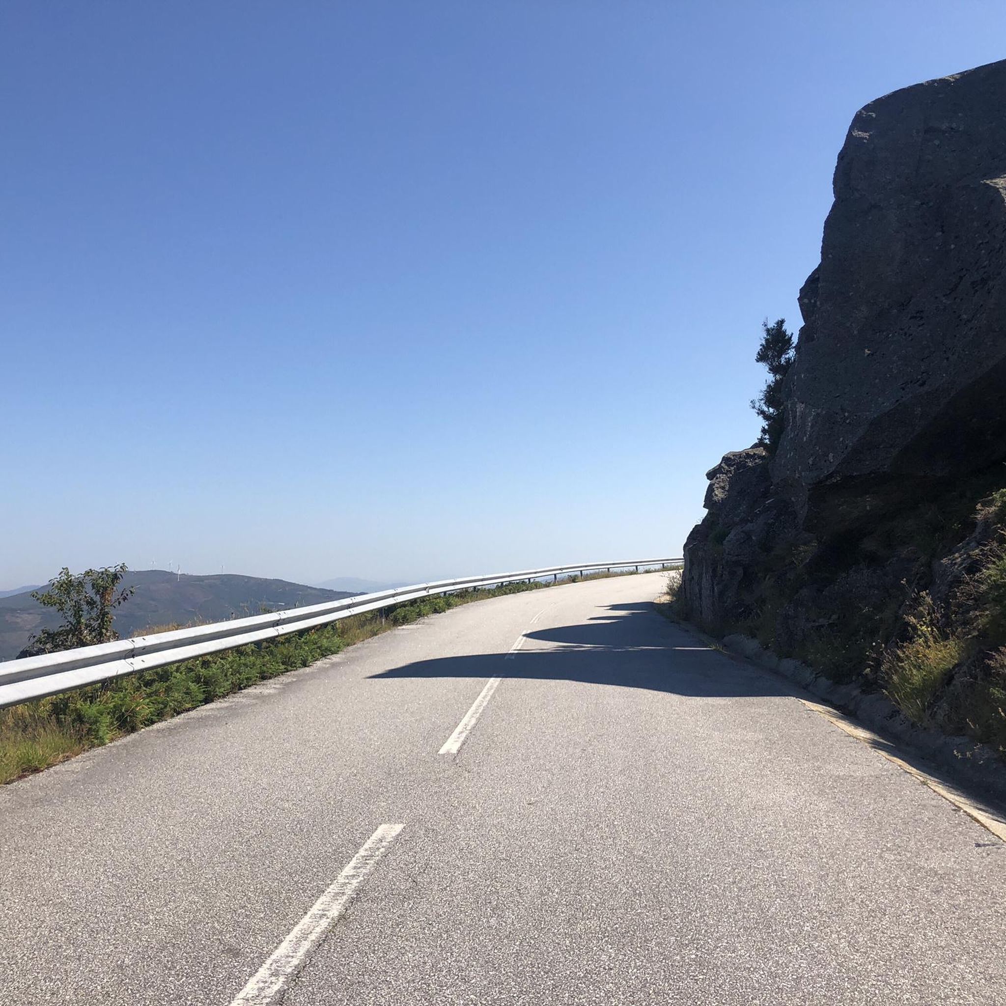
Road Cycling Routes in the Tras-os-monte
Gravel biking in the Tras-os-monte
Other adventures in the Tras-os-monte


Tips from the Community


The Chalcedony Trail (PR1 TBR – Trilho da Cidade da Calcedonia) is one of the most iconic routes in Peneda-Gerês National Park, located in Covide (Braga), within the municipality of Terras de Bouro. It leads to the ruins of the City of Chalcedony, an ancient pre-Roman hill fort high in the mountains. It offers panoramic views over the Homem River valley and the Gerês mountains. The trail passes through native forests, rocky areas, and natural viewpoints.
2
0
A spectacular rocky section where granite boulders rise like "sleeping giants" all around you. The trail ascends towards the peak of Curvaceira, at 919m, and offers panoramic views of the deep Covide Valley.
2
0
Sanctuary of Our Lady of Peneda, located in northern Portugal: It is located in the parish of Gavieira, municipality of Arcos de Valdevez, within the Peneda-Gerês National Park, about 150 km from Porto. [pt.wikipedia.org], [danielasan...araujo.com] It is built over a cave beneath a granite massif known as Penedo da Meadinha, in a spectacular location bordering a deep valley.
3
0
Locally known as socalcos, these are platforms built on granite walls to utilize steep slopes and transform them into farmland. This ancient method allowed for the production of grain and pasture in an extremely mountainous environment. The Sistelo cultural landscape, comprised of these terraces, is recognized as a National Monument.
4
0

The North Coast Ecovia is a cycling and pedestrian route that stretches for 73 kilometers, connecting Caminha to Apúlia in northern Portugal. It is part of the North Coast Natural Park and offers stunning views of the Atlantic coast and natural landscape. Points of Interest: - Beaches: The North Coast Ecovia passes by several beaches, including Esposende Beach, Suave Mar Beach, Cepães Beach, Barrelas Beach, and Rio de Moinhos Beach.
1
0
The Monastery of Santa Maria das Júnias is a ruined monastery, of which the church remains, located on the outskirts of Pitões das Júnias. The last Cistercian monk became the parish priest of the village of Pitões das Júnias in 1834, the date of the abolition of religious orders in Portugal. As a historical curiosity, it is worth noting that Dom Pedro de Pitões, one of the main drivers of the conquest of Lisbon from the Moors in 1147, was ordained bishop of Porto at this monastery.
0
0
The sanctuary was built between the end of the 18th century and the third quarter of the 19th century. The church was completed in 1875.
1
0
Frequently Asked Questions
How many running routes are available in Trás-os-Montes?
Trás-os-Montes offers a vast network of trails, with over 380 running routes documented on komoot. These range from easy jogs to challenging long-distance runs, catering to all fitness levels.
Are there any easy or beginner-friendly jogging routes in Trás-os-Montes?
Yes, Trás-os-Montes has options for beginners. While many routes are moderate to difficult, there are 13 routes classified as easy. Look for trails along riverbanks or on the Mirandese Plateau for less elevation change. For a moderate option, consider the Ecovia Litoral Norte loop from Âncora-Praia, which offers a relatively flat 10.9 km path.
What kind of natural landscapes can I expect to see while running in Trás-os-Montes?
Trás-os-Montes, meaning 'Beyond the Mountains,' lives up to its name with diverse landscapes. You'll find rugged mountains, deep river valleys, and expansive plateaus. The region is home to significant natural parks like Montesinho, known for its pristine nature, and Douro International, characterized by dramatic gorges. Trails often wind through chestnut groves, along rivers, or offer panoramic views over the Douro River.
Are there any circular running routes in Trás-os-Montes?
Yes, many routes in Trás-os-Montes are designed as circular paths, allowing you to start and end at the same point. An example is the challenging Between the Sea and the Mountain (PR 5) — circular route, which covers 20.3 km. Another is the Circular Ruta to Minas dos Carris in Peneda-Gerês National Park.
What are some challenging long-distance running trails in the region?
For experienced runners seeking a challenge, Trás-os-Montes offers several demanding long-distance routes. The GR 1 Peneda and Soajo Mountains Crossing is a significant undertaking at nearly 80 km. Another option is the Peneda-Gerês Great Route: Pitões das Júnias, a 32 km trail exploring mountainous terrain.
Can I find running routes with viewpoints in Trás-os-Montes?
Absolutely! The mountainous and river-carved landscape of Trás-os-Montes provides numerous stunning viewpoints. Many trails offer panoramic vistas, especially in areas like the Douro International Natural Park. Look for routes near Miradouro de São Salvador or São Leonardo in Miranda do Douro for breathtaking scenery during your run.
Are there any waterfalls or lakes to see along the running paths?
Yes, the region boasts beautiful natural water features. You can find highlights like the Cela Cavalos Waterfall or the serene Blue Pool. The Montesinho Natural Park is particularly known for its rivers and waterfalls, making it a great area to explore for such sights.
What do other runners think about the trails in Trás-os-Montes?
The running routes in Trás-os-Montes are highly rated by the komoot community, with an average score of 4.4 stars from over 80 reviews. More than 4000 runners have used komoot to explore the varied terrain, often praising the region's untamed nature, diverse landscapes, and the extensive network of trails that offer both challenging mountain routes and tranquil riverside paths.
Are there any historical sites or landmarks I can discover while jogging?
Yes, Trás-os-Montes is rich in history and rural charm. You can jog through traditional, stone-built villages and discover ancient sites. For example, the Campo do Gerês Roman Road loop offers a glimpse into ancient history. You might also encounter historical sites like the Aquis Querquennis Roman Camp or impressive structures like the Fortress of Valença.
What is the best time of year to go running in Trás-os-Montes?
The best time depends on your preference. The region has two distinct climatic zones: 'Terra Fria' (Cold Land) with higher altitudes and colder, wetter climates, and 'Terra Quente' (Hot Land) to the south with warmer, drier climates. Spring and autumn generally offer pleasant temperatures for running across the region. The Douro International Natural Park, with its Mediterranean microclimate, offers warmer winters, which can be ideal for off-season running.
Are there any running routes suitable for families with children?
While many routes are challenging, families can find suitable options by looking for easier, shorter trails, particularly those with minimal elevation changes. Riverbank paths, like those along the Tua River, often provide relatively flat and scenic routes that are more accessible for a family jog. Always check the route's difficulty and length before heading out with children.
Can I find routes that are accessible by public transport or have parking facilities?
Many trailheads in Trás-os-Montes, especially those near villages or natural park entrances, offer parking facilities. While public transport access can be limited in some of the more remote areas, larger towns like Miranda do Douro, Bragança, and Chaves serve as good starting points with better transport links. It's advisable to check specific route details for parking information and public transport options to the trailhead.
Most popular routes in the Tras-os-monte
Most popular attractions in the Tras-os-monte

Get inspired with the komoot mobile app


Explore more
Browse the best Running Trails & Routes in other regions.
