The best mountain hikes in Sør-Trøndelag
5.0
(1)
17
hikers
6
hikes
Mountaineering in Sør-Trøndelag offers diverse terrain across expansive mountain ranges and national parks. The region features prominent peaks such as Blåhøa and Trollhetta, alongside varied landscapes including forests and fjords. These natural features provide a range of mountaineering opportunities for different skill levels.
Best mountaineering routes in Sør-Trøndelag
- The most popular mountaineering route is Ørnsnydda loop from Jenstad, a 4.0 miles (6.5 km) trail that takes 2 hours 54 minutes to complete. This moderate route features significant elevation gain. …
Last updated: October 4, 2026
5.0
(1)
6
hikers
22.2km
09:10
1,020m
1,020m
Hard mountaineering route. Very good fitness required. Mostly accessible paths. Sure-footedness required.
3
hikers
13.2km
04:03
360m
360m
Moderate mountaineering route. Good fitness required. Mostly accessible paths. Sure-footedness required.

3
hikers
12.1km
05:46
1,000m
1,000m
Hard mountaineering route. Very good fitness required. Sure-footedness, sturdy shoes and alpine experience required.
1
hikers
7.86km
02:20
230m
230m
Moderate mountaineering route. Good fitness required. Easily-accessible paths. Suitable for all skill levels.
1
hikers
Moderate mountaineering route. Good fitness required. Mostly accessible paths. Sure-footedness required.
2
hikers
12.7km
04:23
630m
630m
Moderate mountaineering route. Good fitness required. Easily-accessible paths. Suitable for all skill levels.
Our route recommendations are based on thousands of hikes, rides, and runs completed by other people on komoot.
Start today with a free account
Your next adventure awaits.
Popular around Sør-Trøndelag
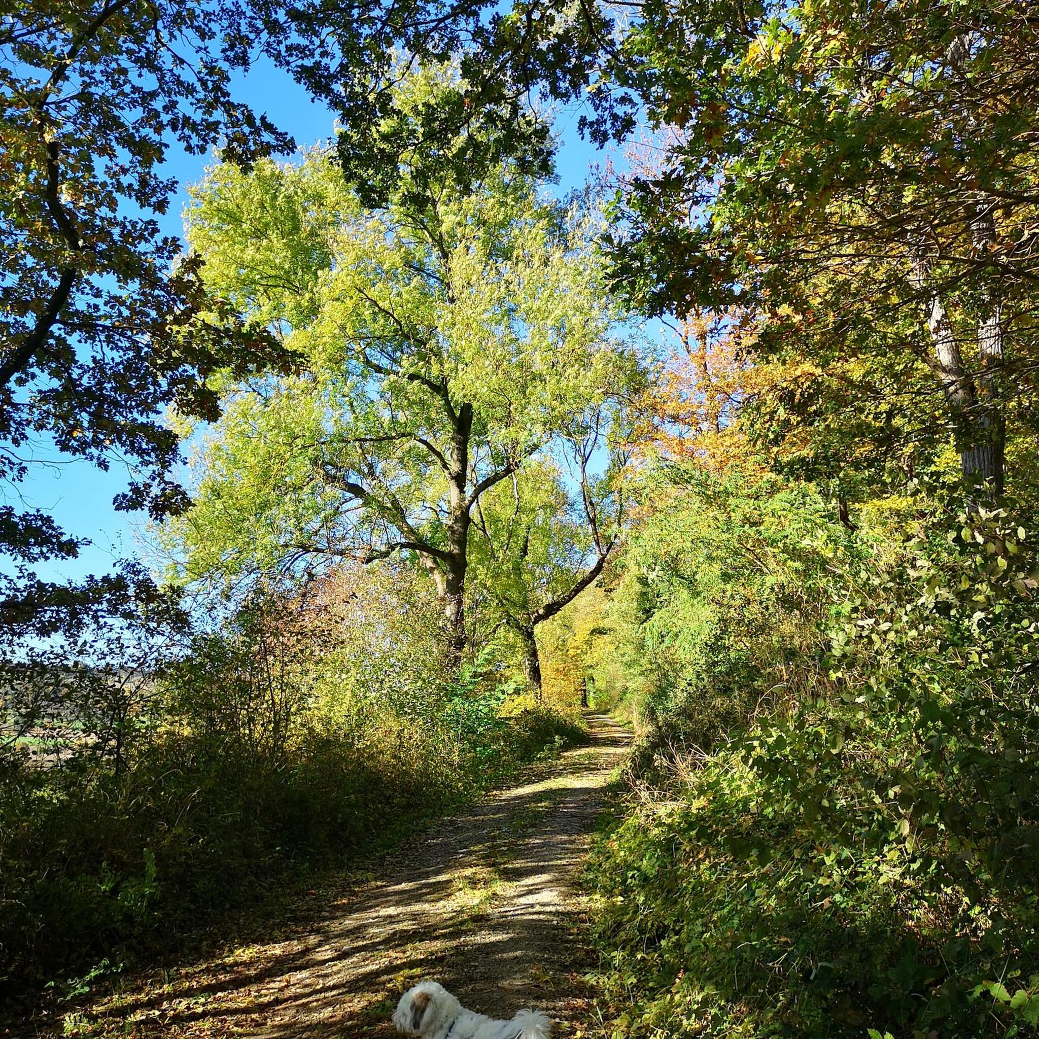
Mountain Hikes around Oppdal
Mountain Hikes around Drivdalen
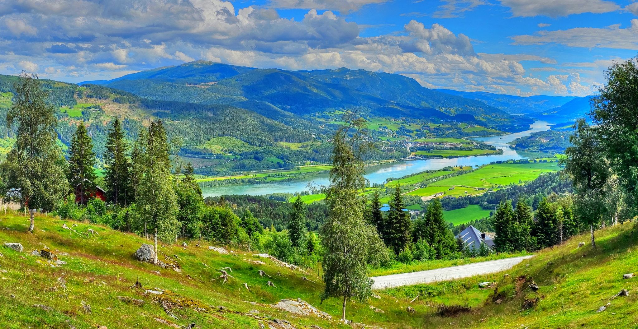
Pilgrim Route – An epic journey across Norway
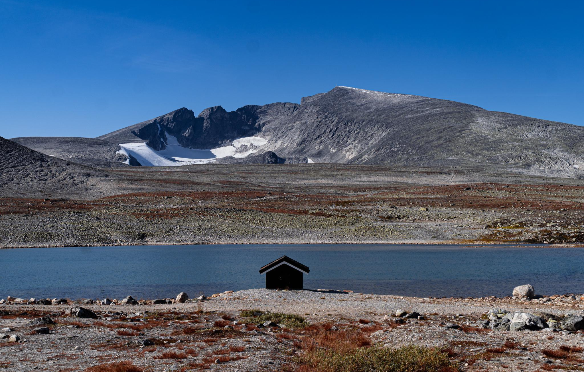
SignaTUR SAGA – Reindeer, wild trails and mighty peaks
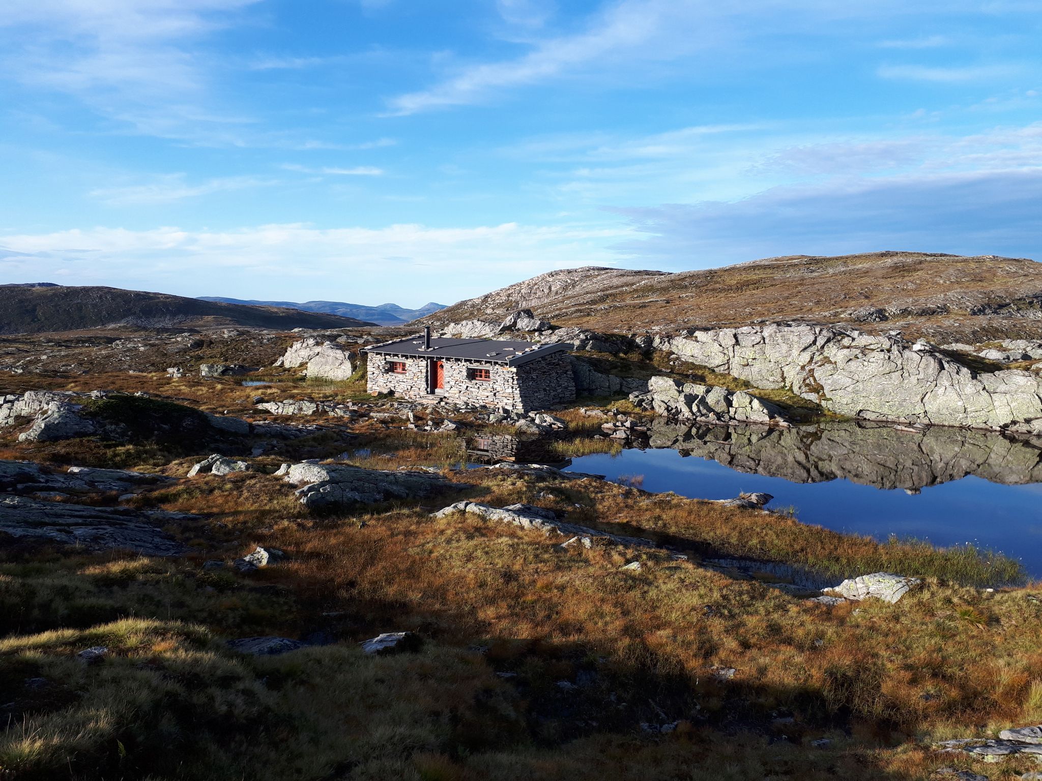
SignaTUR Fjordruta – Where sky, sea, fjords and mountains meet
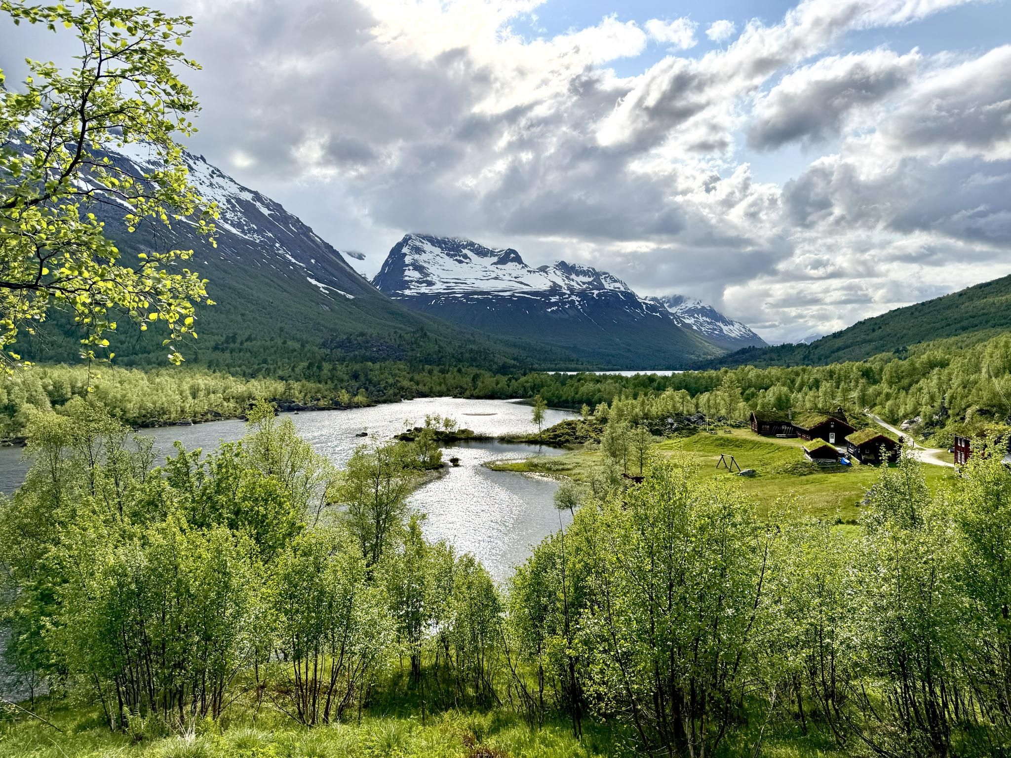
SignaTUR Trollheimen – Discover the mountainous 'home of the trolls'
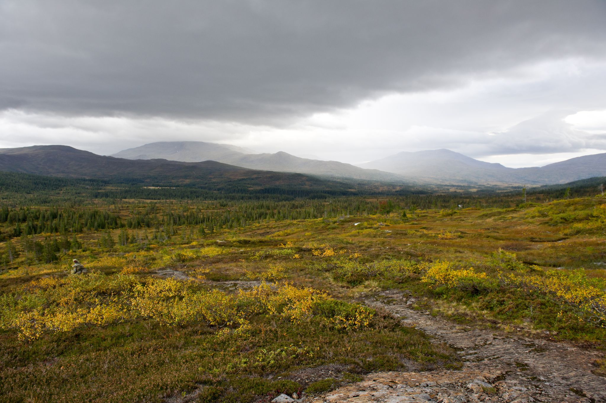
SignaTUR Norge på tvers — Norway latitudinally
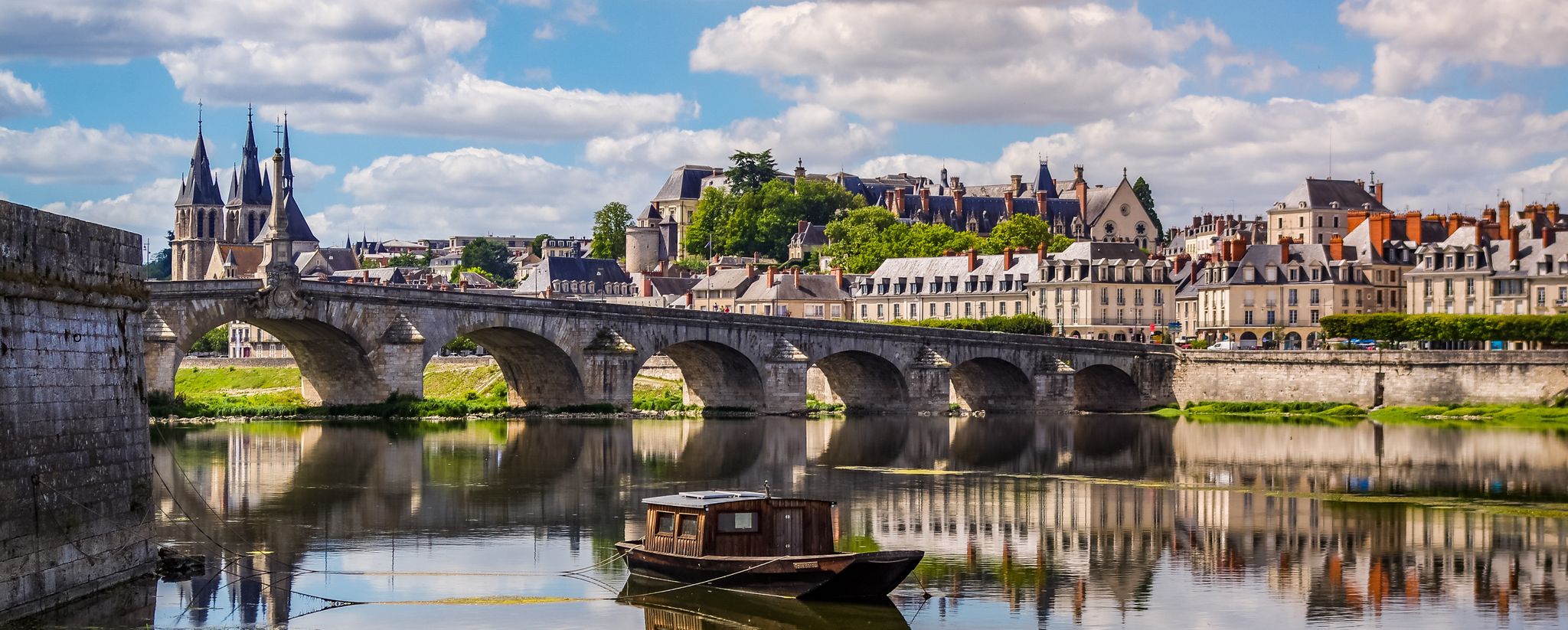
EuroVelo 3 – A cycling pilgrimage from Norway to France
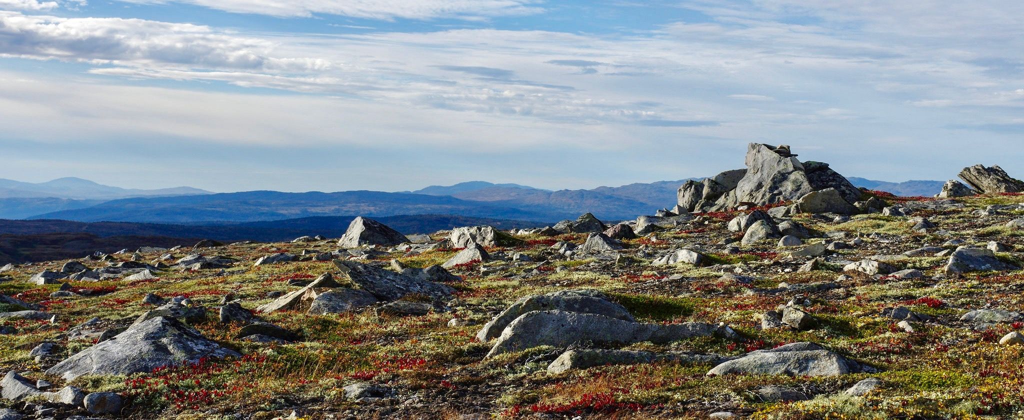
Østerdalsleden — Norway's wildest pilgrim route
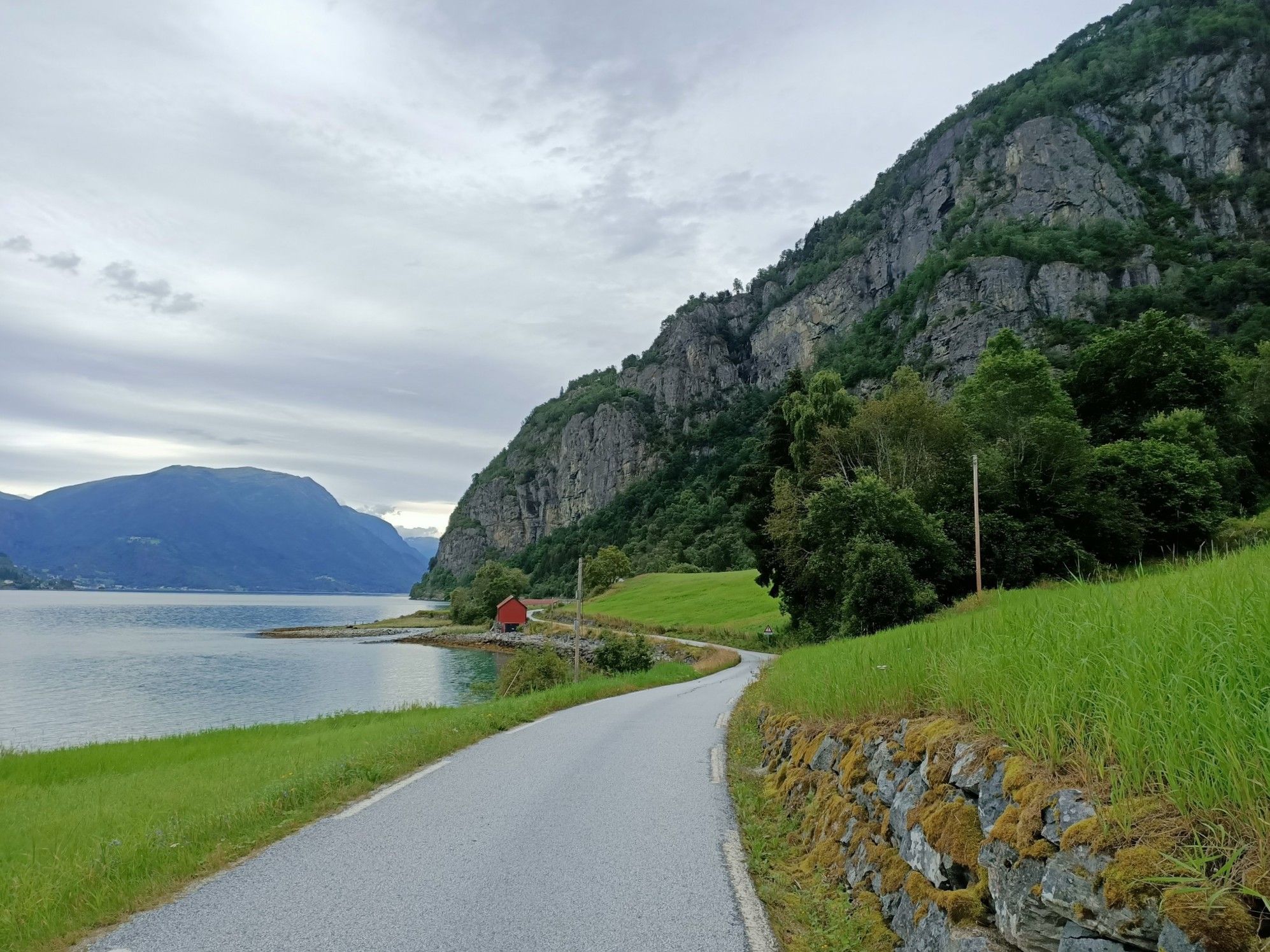
Beyond the peaks – Sognefjellsveien
Other adventures in Sør-Trøndelag


Tips from the Community

Bridge is closed!!!
0
0

A charming picnic spot sits right by the water's edge, equipped with wooden tables and benches. It provides the perfect rest stop for walkers to sit back, enjoy an outdoor lunch, and take in the beautiful forest views across the lake.
0
0

This peaceful pond invites you to dream, contemplate, and take a break. Feel free to find your own quiet spot to enjoy nature and even take a nap.
0
0

This new bridge takes hikers across Gravbekken on the way to and from Gjevilvasshytta, the oldest DNT hut. From here, the SignaTUR Trollheimen follows the stream all the way to Gjevillvatnet.
1
0
A lovely section of trail in Estenstadmarka, this section takes you between the lakes of Tømmerholtdammen and Estenstaddammen. From here, you can hike to the Månen viewpoint for excellent city and fjord views or head for the Burmaklippen, Trondheim's mini Trolltunga.
1
0

A well-built bridge that allows you to cross the river without getting wet.
0
0
A little water wheel apparatus along the forest path.
0
0
Impressive view of Trondheim – the refuge close by is open in summer.
0
0
Frequently Asked Questions
Are there mountaineering routes suitable for beginners in Sør-Trøndelag?
Yes, Sør-Trøndelag offers several moderate mountaineering routes that are suitable for those with some hiking experience. For example, the Ørnsnydda loop from Jenstad is a moderate 6.5 km trail that takes under 3 hours to complete, offering a good introduction to the region's terrain.
What are some challenging mountaineering routes for experienced hikers in Sør-Trøndelag?
For experienced mountaineers, Sør-Trøndelag presents demanding routes with significant elevation gain. Consider the difficult Blåhøa Summit View – Blåhø Summit loop from Røstbekken, a 22.1 km path ascending over 1,000 meters to spectacular summit views. Another challenging option is the Gjørahaugen – Ekkertinden loop from Gjøra kapell, which also features nearly 1,000 meters of ascent over 12.1 km.
Are there any circular mountaineering routes in Sør-Trøndelag?
Many of the mountaineering routes in Sør-Trøndelag are designed as loops, allowing you to start and end at the same point. Examples include the Kongsvoll Station – Kongsvold Fjeldstue loop from Kongsvoll, a 13.2 km trail through mountain landscapes, and the Storhøa loop from Søstosætra, a moderate 12.6 km route.
What kind of natural features or landmarks can I expect to see on these routes?
Sør-Trøndelag's mountaineering routes often traverse diverse landscapes, from expansive mountain ranges to national parks. You can encounter prominent peaks like Blåhøa and Trollhetta, and explore areas within the Dovrefjell-Sunndalsfjella National Park, known for its unique wildlife. For specific viewpoints, consider routes leading to summits like Geitfjellet Summit or Storheia Summit.
What is the typical duration for mountaineering routes in Sør-Trøndelag?
The duration varies significantly based on the route's length and difficulty. Moderate routes like the Estenstad Dam – Estenstad Cabin loop from Dragvoll can be completed in about 2 hours 20 minutes. More challenging routes, such as the Blåhøa Summit View – Blåhø Summit loop, can take over 9 hours, requiring a full day or multi-day planning.
Are there any family-friendly mountaineering options in Sør-Trøndelag?
While many routes are moderate to difficult, some shorter, less strenuous sections within larger mountain areas or nature reserves like Bymarka near Trondheim offer family-friendly hiking. For a moderate mountaineering experience that could be suitable for active families, consider the Kongsvoll Station – Kongsvold Fjeldstue loop from Hjerkinn, which is 7.2 km and takes under 2.5 hours.
What is the best time of year for mountaineering in Sør-Trøndelag?
The best time for mountaineering in Sør-Trøndelag is typically during the summer months, from June to September, when the weather is milder, and trails are generally free of snow. This period offers the most accessible conditions and longer daylight hours for exploring the mountain ranges and national parks.
Are dogs allowed on the mountaineering routes in Sør-Trøndelag?
Generally, dogs are allowed on hiking trails in Norway, but specific rules may apply in national parks and nature reserves, especially during certain seasons (e.g., nesting periods for birds, or when livestock are grazing). It's always best to check local regulations for the specific area you plan to visit, and dogs should be kept on a leash.
What do other mountaineers say about the routes in Sør-Trøndelag?
The mountaineering routes in Sør-Trøndelag are highly rated by the komoot community, with an average score of 5.0 stars from 3 reviews. Reviewers often praise the region's diverse terrain, expansive mountain ranges, and the rewarding summit views.
Are there any unique attractions or activities near the mountaineering areas?
Beyond the trails, Sør-Trøndelag offers unique attractions. You can explore the historic Røros region, a UNESCO World Heritage site, which combines hiking with cultural exploration. For a different kind of adventure, the region is home to Munkstigen, Norway's oldest via ferrata, offering authentic climbing experiences and spectacular views over the Trondheim Fjord.
Do I need a permit for mountaineering in Sør-Trøndelag?
Generally, you do not need a permit for general mountaineering or hiking on established trails in Sør-Trøndelag. However, if you plan to enter specific national parks or protected areas, especially for activities like hunting or fishing, there might be regulations or permits required. Always check the specific rules for the area you intend to visit.
Most popular routes in Sør-Trøndelag
Most popular attractions in Sør-Trøndelag

Get inspired with the komoot mobile app


Didn’t find what you were looking for?
Check out more Mountain Hikes & Routes throughout Sør-Trøndelag below and find the perfect route in your destination.
Explore more
Browse the best Mountain Hikes & Routes in other regions.
