Top 6 Mountain Passes around Solutré-Pouilly
Mountain passes around Solutré-Pouilly are characterized by a distinctive landscape dominated by limestone escarpments rather than traditional mountain ranges. The region features prominent geological formations such as the Rock of Solutré, the Rock of Vergisson, and Mont Pouilly, which offer elevated viewpoints. These sites provide panoramic views of the Mâconnais vineyards and the Saône plain. The area is recognized for its natural beauty and historical significance, including prehistoric importance.
Best mountain passes around Solutré-Pouilly
- The most popular mountain passes is…
Last updated: June 26, 2026
Col de Gerbet
Highlight • Mountain Pass
Translated by Google •
Tip by

Col de la Sibérie, 638 m
Highlight • Mountain Pass
Translated by Google •
Tip by

Sign up now to discover places like this
Get recommendations on the best single tracks, peaks, & plenty of other exciting outdoor places.
Sign up for free
Col des Enceints - 529 m
Highlight • Mountain Pass
Translated by Google •
Tip by
Col du Bois Clair
Highlight • Mountain Pass
Tip by

Col de la Grange du Bois
Highlight • Mountain Pass
Translated by Google •
Tip by

Sign up for free to discover even more mountain passes around Solutré-Pouilly.
Sign up for free
Already have an account?
Start today with a free account
Your next adventure awaits.
Login or Signup
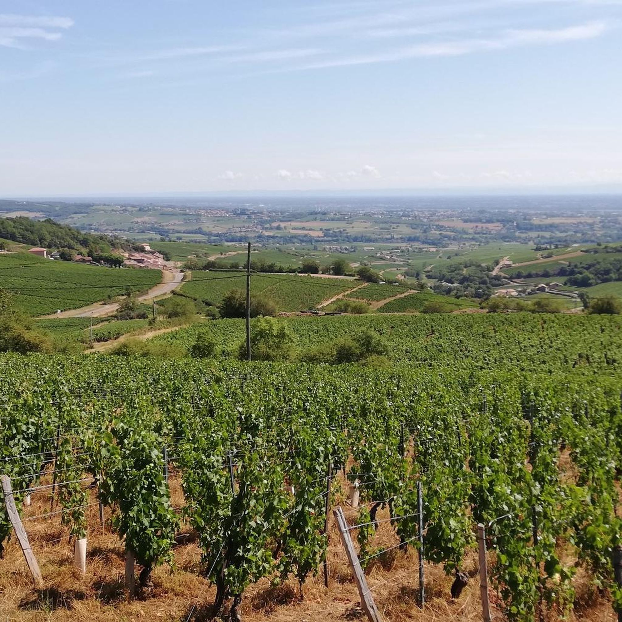
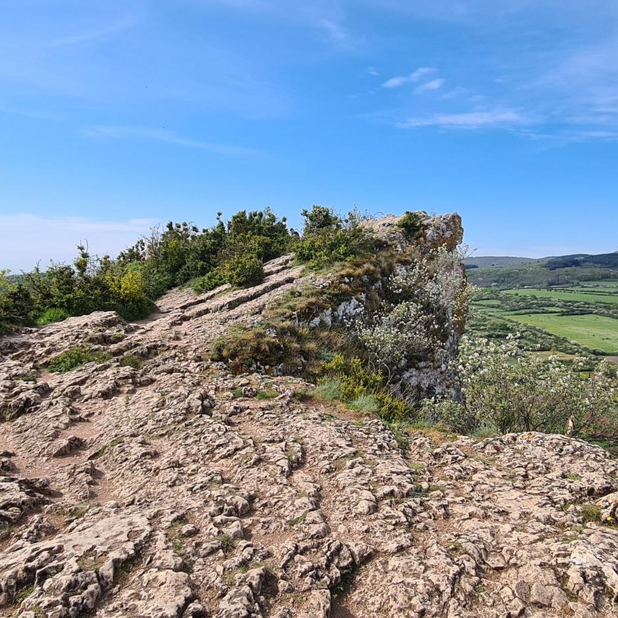
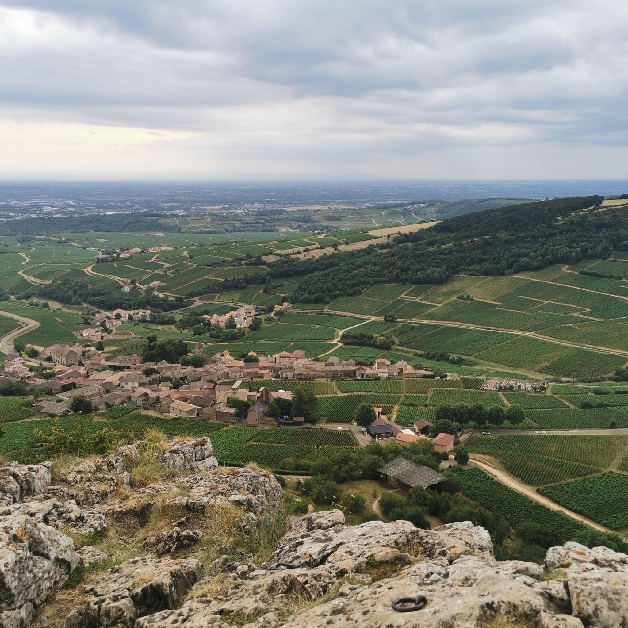
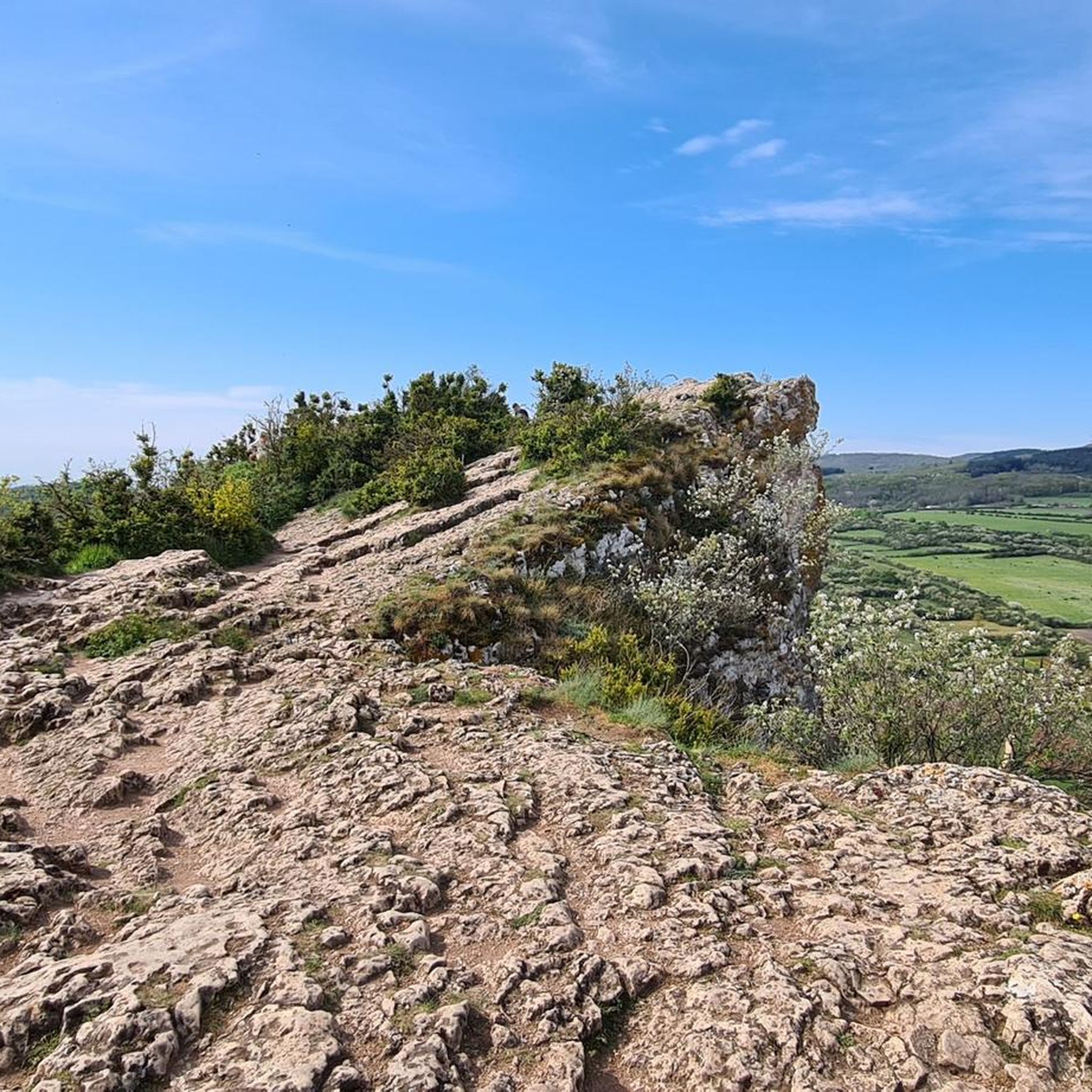

Tips from the Community

Although the pass is located in France and is not extremely high, its name translates to "Siberia Pass". The name goes back to the often very cold, snow-rich winds and the harsh weather conditions in winter.
1
0
The Col de Gerbet (612 m) is an idyllic mountain pass in the French wine-growing region of Beaujolais. Depending on the starting point, various roads with little traffic lead up to the pass via the D137. From Juliénas (south-east approach): This route is 7.3 kilometers long. It overcomes 342 meters of altitude with a steady, moderate gradient of 4.7% on average. The road winds through shady forest sections. From La Croix Blanche (west approach): A tougher variant 4.5 kilometers long. Here you conquer 270 meters of altitude with an average gradient of 6% and ramps of up to 11%.
1
0
The Col du Bois Clair is a 396-meter high French mountain pass in the Massif Central. It is located in the Bourgogne-Franche-Comté region in the Saône-et-Loire department and lies within the municipality of Sologny. The pass summit is crossed by the departmental road D17. Beneath the pass runs the Tunnel du Bois Clair, a former railway tunnel. At 1.6 kilometers long, it is the longest tunnel in France accessible to bicycles. Today it serves as part of the Voie Verte cycle path, but is closed from October to April to protect hibernating bats.
0
0
The Col des Enceints is a mountain pass in the French region of Bourgogne-Franche-Comté (Département Saône-et-Loire) with a summit elevation of 529 meters. The pass is located in the Mâconnais mountains (Monts du Mâconnais) near the municipality of Bourgvilain. It is a popular route, especially among cyclists and hikers: For cyclists: The ascent from Pierreclos extends over approximately 4.3 kilometers with an elevation difference of about 257 meters and an average gradient of just under 6% (up to 12% at its steepest). For hikers: A moderate, approximately 8.5-kilometer circular hiking trail from Bourgvilain leads over the pass, among other routes, passing through forests and past small hamlets.
1
0


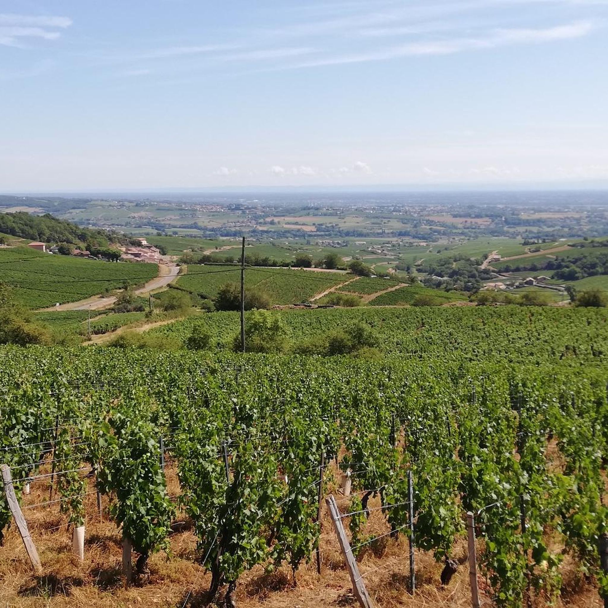
Magnificent view after a nice, not very technical descent
1
0

Finally there is a sign, certainly not like we are used to seeing them. Towards the orientation table, there is a post with a green border at the top where the name of the pass is indicated. In the area, that seems to be how the passes are marked, like its neighbor the Col de Pierreclos for example.
0
0

Passage of the Gerbet (612 m) and Siberia (611 m) are beautiful, but also recall the martyrs of resistance who fought against occupiers.
1
0
Frequently Asked Questions
What are the most distinctive elevated natural features around Solutré-Pouilly?
The region is renowned for its unique limestone escarpments rather than traditional mountain passes. The most prominent are the Rock of Solutré, the Rock of Vergisson, and Mont Pouilly. These formations offer exceptional panoramic views and are central to the area's natural beauty and historical significance.
What makes the Rock of Solutré a significant site to visit?
The Rock of Solutré is a designated 'Grand Site de France' known for its geological rarity, formed from fossilized coral reefs. It holds immense archaeological importance as the eponymous site of the Solutrean Paleolithic culture. Visitors can enjoy panoramic views of the Mâconnais vineyards and, on clear days, Mont Blanc. A museum at its foot showcases prehistoric findings.
Are there any traditional mountain passes in the broader Solutré-Pouilly area?
While Solutré-Pouilly itself is characterized by its 'roches' (rocks), the broader region includes several passes. Notable ones mentioned in local routes include Col de Gerbet, located between the Mâconnais and Beaujolais, and Col de la Sibérie, which offers views of the Alps and Mont Blanc on clear days.
What kind of views can I expect from these elevated points?
From the Rock of Solutré, you'll see sweeping vistas of the Mâconnais vineyards and the Saône plain. The Rock of Vergisson provides a unique perspective of the Rock of Solutré itself and the Beaujolais valley. From Mont Pouilly, you can enjoy uninterrupted views over the Saône plain and both sister rocks. Passes like Col de la Sibérie can offer glimpses of the Alps and Mont Blanc.
What outdoor activities are popular near the mountain passes and rocks?
The area is excellent for both hiking and cycling. Many routes incorporate the Rock of Solutré, Rock of Vergisson, and Mont Pouilly. You can find various hiking trails, including loops that connect these peaks, and numerous road cycling routes and general cycling tours that traverse the scenic Mâconnais landscape and its passes.
Are there easy or family-friendly hikes around Solutré-Pouilly's elevated features?
Yes, the ascent to the summit of the Rock of Solutré is a popular 4-kilometer (2.5-mile) hike with moderate elevation gain, generally accessible to most. The hike to the Rock of Vergisson is often considered shorter and easier. There are also many hiking routes in the area with varying difficulty levels, including easier loops suitable for families.
What historical significance do these sites hold?
The Rock of Solutré is globally recognized for its prehistoric importance, being the type-site for the Solutrean Paleolithic culture, with evidence of human occupation dating back 55,000 years. Additionally, the Col de la Sibérie features a poignant memorial to Resistance fighters from World War II.
What is the best time of year to visit Solutré-Pouilly for outdoor activities?
Spring and autumn generally offer the most pleasant weather for hiking and cycling, with comfortable temperatures and beautiful scenery, especially during the grape harvest season in the vineyards. Summer can be hot, particularly on exposed routes like Col de la Grange du Bois, which lacks shade. Winter hiking is possible but requires appropriate gear.
What unique flora and fauna can be found on these limestone formations?
The 'pelouse calcaire' grasslands on the summits of the Rock of Solutré and Mont Pouilly host unique flora adapted to the limestone soil. The Rock of Vergisson is known for its protected dry lawns, often maintained by grazing goats, contributing to a slightly wilder ecosystem.
Are there any specific cycling challenges or notable passes for cyclists?
Cyclists appreciate passes like Col de Gerbet, which features an average gradient of 6% over 4.5 km, offering a good challenge. The Col de la Grange du Bois is known for its quiet roads and views of the Rock of Solutré. Many routes offer diverse perspectives of the Mâconnais landscape, with some passes providing ultra-calm roads and forest sections.
What do visitors particularly enjoy about the mountain passes and elevated features in Solutré-Pouilly?
Visitors frequently praise the exceptional panoramic views, especially those of the Mâconnais vineyards and the Saône plain. The unique geological formations, like the Rock of Solutré, are a major draw. Many also appreciate the quiet roads for cycling and the historical significance of the sites. The community has shared 61 upvotes and 4 photos across the highlights, indicating strong positive engagement.
Most popular routes around Solutré-Pouilly
Most popular attractions around Solutré-Pouilly

Get inspired with the komoot mobile app


Explore more
See even more epic mountain passes by checking out these guides around Solutré-Pouilly:
