The best gravel rides around Solutré-Pouilly
4.9
(17)
85
riders
30
rides
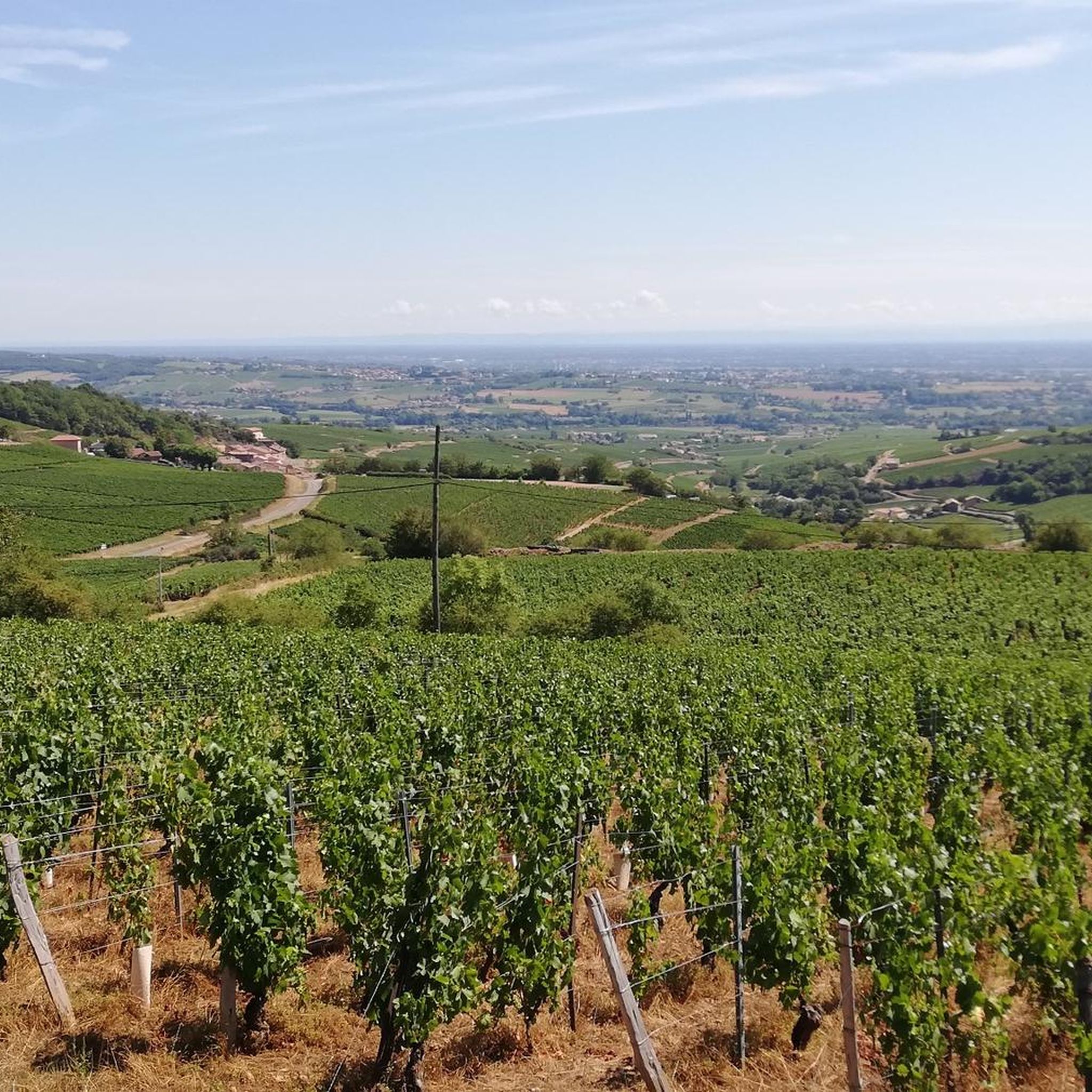
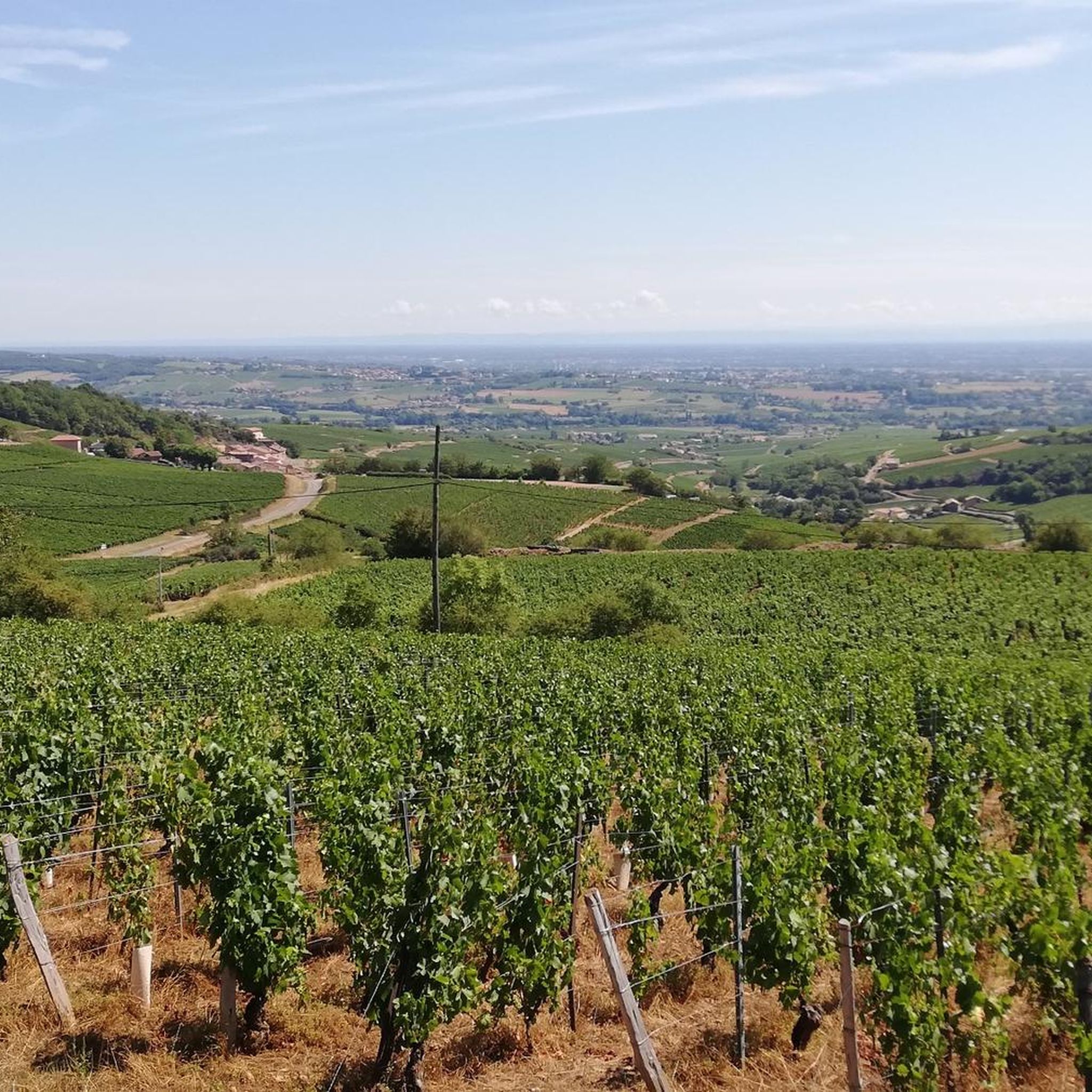
Gravel biking around Solutré-Pouilly offers routes through a landscape characterized by rolling hills, vineyards, and river valleys. The region features prominent limestone escarpments, including the Rock of Solutré and Mont Pouilly, alongside bocage and forests. This diverse terrain provides a mix of paved and unpaved paths, creating varied conditions for gravel cyclists. Expect routes that traverse agricultural areas and connect to larger river systems like the Saône.
Best gravel bike trails around Solutré-Pouilly
- The most popular gravel bike trail is…
Last updated: July 3, 2026
5.0
(2)
18
riders
34.9km
01:41
50m
50m
Easy gravel ride. Great for any fitness level. Mostly paved surfaces. Suitable for all skill levels.
4.8
(5)
8
riders
37.4km
02:21
180m
180m
Moderate gravel ride. Good fitness required. Mostly paved surfaces. Suitable for all skill levels.

Sign up for free
5.0
(1)
4
riders
49.5km
03:52
1,050m
1,050m
Hard gravel ride. Very good fitness required. Mostly paved surfaces. Suitable for all skill levels.
5.0
(1)
4
riders
31.8km
02:35
600m
600m
Hard gravel ride. Very good fitness required. Mostly paved surfaces. Suitable for all skill levels.
2
riders
29.1km
01:57
140m
140m
Easy gravel ride. Great for any fitness level. Mostly paved surfaces. Suitable for all skill levels.
Get access to more routes and recommendations from other explorers.
Sign up for free
Already have an account?
Our route recommendations are based on thousands of hikes, rides, and runs completed by other people on komoot.
Start today with a free account
Your next adventure awaits.
Login or Signup
Tips from the Community

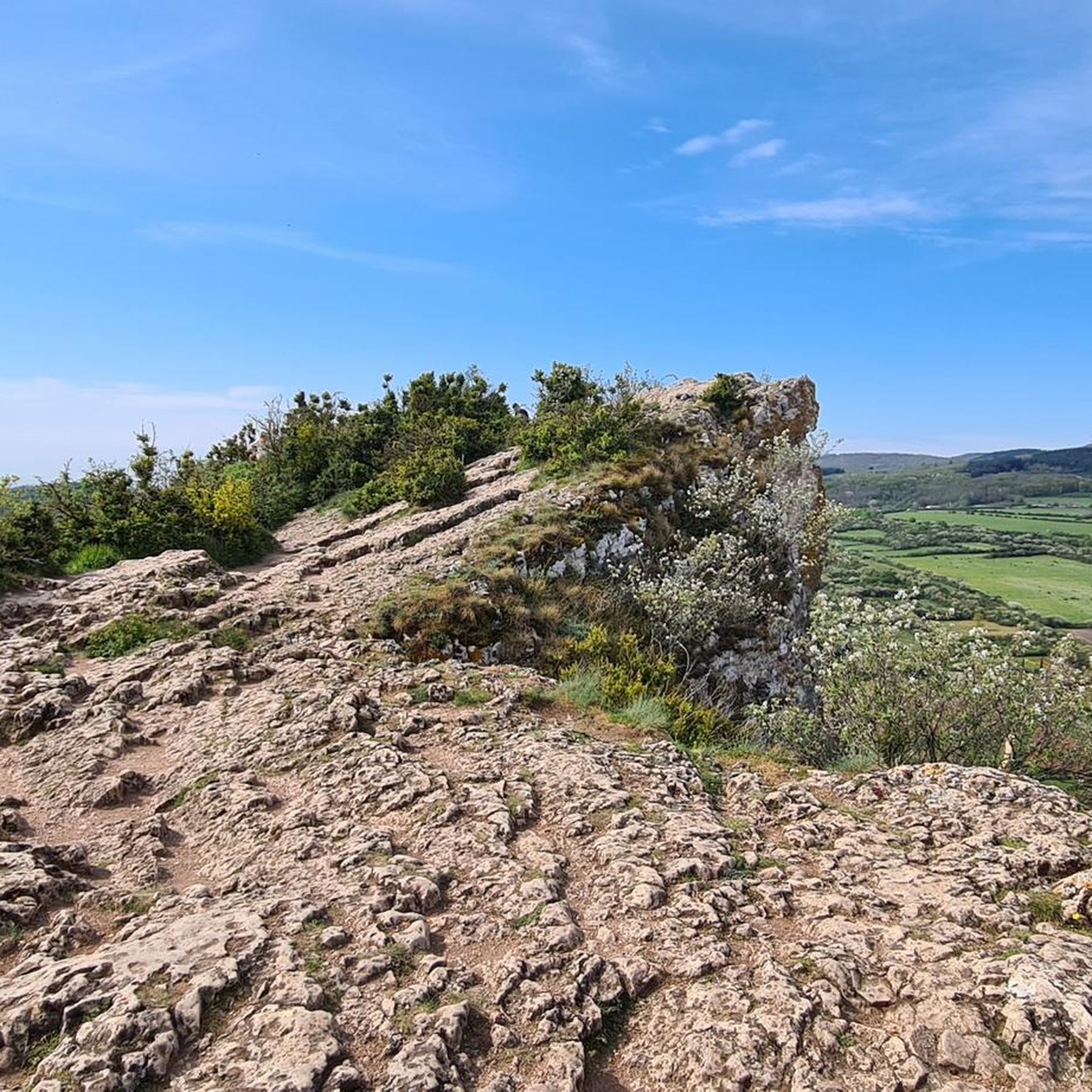
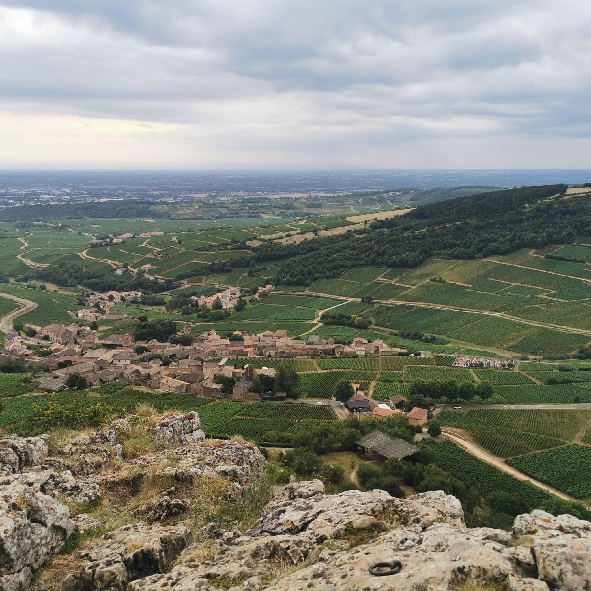
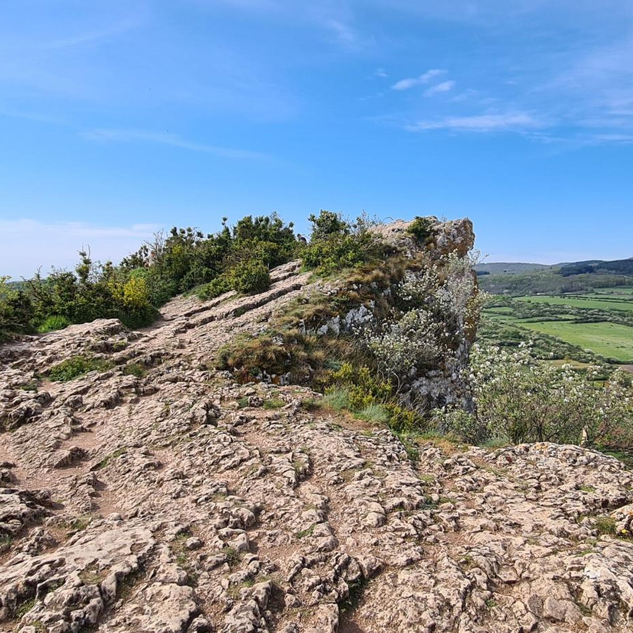
The Rock of Solutré is a world-famous, 493-meter-high limestone rock in the south of the Burgundy region. It is located amidst the picturesque vineyards of the municipality of Solutré-Pouilly. The region is officially designated as a Grand Site de France. The hike to the summit is easy to moderate and very doable for families. It takes about 1 hour for the entire loop (approx. 4 kilometers round trip). The elevation gain is around 100 to 140 meters from the official parking lot on well-maintained paths with information panels, although there are many steps.
1
0
Although the pass is located in France and is not extremely high, its name translates to "Siberia Pass". The name goes back to the often very cold, snow-rich winds and the harsh weather conditions in winter.
1
0
The Maison de Bois (Wooden House) is located at Place aux Herbes in the center of Mâcon. It is the oldest and most famous residential building in the city. It was built between 1490 and 1510. The ground floor is made of masonry, while the three floors above are built entirely of wood. The wooden structure is famous for its countless, partly grotesque and suggestive carvings. Mythical creatures, monkey masks, and naked and winged figures can be seen. Today, a popular bar-restaurant is located on the ground floor.
1
0
The Esplanade Lamartine forms the green heart of the Mâcon waterfront, directly on the Saône. The area is named after the famous French poet, writer, and politician Alphonse de Lamartine, who was born in Mâcon in 1790. A striking bronze statue in his honor dominates the square. The large, white "MACON" lettering from your photo is a very popular photo motif for tourists. It stands on a green strip directly on the Esplanade and offers the river as well as the rows of houses opposite as a backdrop.
1
0
The ruins of the former cathedral Vieux-Saint-Vincent (Old Saint-Vincent) in the historic Saint-Vincent quarter in Mâcon. The structure originally dates from the 11th century (Romanesque) and was extended in the 13th century in the Gothic style. It was the main church of the historic Diocese of Mâcon. During the French Revolution, the cathedral was declared national property. The nave and choir were subsequently methodically demolished and the stones sold as building material. Essentially, the two striking towers of the west facade, the narthex, and an artful Romanesque tympanum have been preserved.
0
0
The Voie Verte (Green Way) is a former, paved railway line. At the starting point in Charnay-lès-Mâcon is the Vélo-Gare du Mâconnais - a former train station, which today serves as a tourist office and bicycle rental.
1
0
The Col de Gerbet (612 m) is an idyllic mountain pass in the French wine-growing region of Beaujolais. Depending on the starting point, various roads with little traffic lead up to the pass via the D137. From Juliénas (south-east approach): This route is 7.3 kilometers long. It overcomes 342 meters of altitude with a steady, moderate gradient of 4.7% on average. The road winds through shady forest sections. From La Croix Blanche (west approach): A tougher variant 4.5 kilometers long. Here you conquer 270 meters of altitude with an average gradient of 6% and ramps of up to 11%.
1
0

Great welcome, even just for a coffee, filling up with water and disposing of our waste. Looking at the menu, the dishes seem delicious.
0
0
Frequently Asked Questions
How many gravel bike trails are available in the Solutré-Pouilly area?
There are over 20 gravel bike trails around Solutré-Pouilly, offering a variety of options for different skill levels and preferences. The komoot community has explored more than 20 routes in the region.
Are there easy gravel bike trails suitable for beginners or families?
Yes, the region offers several moderate routes that are suitable for beginners or families. For instance, the Between Tournus and Mâcon – Fleurville Lake loop from Mâcon-Ville is a moderate 47.3 km path with minimal elevation gain, making it a good choice for a relaxed ride.
What are some options for long-distance gravel biking in Solutré-Pouilly?
For those seeking a longer adventure, the La Voie Bleue – Beauregard loop from Crêches-sur-Saône is a challenging 148.8 km route that follows the Saône river and connects several towns, typically taking over 10 hours to complete.
Where can I find challenging gravel bike routes with significant climbs?
If you're looking for a challenge, the Col de Gerbet – Col de la Grange du Bois loop from Mâcon-Loché-TGV is a difficult 49.5 km trail that features significant elevation gain, climbing over 1000 meters through hilly terrain.
What are the typical trail conditions for gravel biking in Solutré-Pouilly?
The gravel bike trails around Solutré-Pouilly feature a diverse mix of terrain. You can expect a combination of paved sections, unpaved paths, vineyard tracks, and routes along river valleys. The region is characterized by rolling hills, providing varied conditions for gravel cyclists.
What is the best time of year for gravel biking in Solutré-Pouilly?
The spring and autumn months generally offer the most pleasant conditions for gravel biking in Solutré-Pouilly, with milder temperatures and beautiful scenery as the vineyards change color. Summer can be warm, especially in the open vineyard areas, while winter may bring colder temperatures and potentially wet conditions on unpaved paths.
Can I access gravel trails around Solutré-Pouilly by public transport?
Many routes start from towns with good public transport connections. For example, routes like the Between Tournus and Mâcon – Fleurville Lake loop and the Saint Philibert Abbey – Tournus loop both start from Mâcon-Ville, which is accessible by train. The Col de Gerbet – Col de la Grange du Bois loop starts from Mâcon-Loché-TGV.
What interesting landmarks or natural monuments can I see along the gravel bike trails?
The region is rich in natural and historical landmarks. Many routes offer views of iconic sites such as the Roche de Solutré and Vergisson Rock. You might also encounter viewpoints like Rémont Mountain or historical sites like Saint Philibert Abbey, depending on your chosen route.
Are most gravel bike trails in Solutré-Pouilly loop routes?
Yes, many of the gravel bike trails in the Solutré-Pouilly area are designed as loop routes, allowing you to start and finish at the same point. This includes popular options like the La Saône, great cycle routes 👍 loop from Crêches-sur-Saône and the Saint Philibert Abbey – Tournus loop from Mâcon-Ville.
What do other gravel bikers enjoy the most about gravel biking in Solutré-Pouilly?
The area is highly rated by the komoot community, with an average score of 4.9 stars. Reviewers often praise the diverse landscape, including vineyard-lined paths, scenic river routes, and the challenge of the rolling hills. The mix of natural beauty and cultural landmarks is frequently highlighted as a key draw.
Are there gravel routes that offer scenic viewpoints?
Absolutely. The hilly terrain and prominent natural features like the Roche de Solutré provide numerous opportunities for scenic views. Routes that traverse the higher elevations or pass near landmarks such as Rémont Mountain will offer expansive panoramas of the vineyards and surrounding countryside.
Most popular routes around Solutré-Pouilly
Most popular attractions around Solutré-Pouilly

Get inspired with the komoot mobile app


Explore more
Browse the best Gravel rides in other regions.
