The best road cycling routes around Albbruck
4.6
(515)
9,733
riders
213
rides
Road cycling around Albbruck offers diverse landscapes at the southern foothills of the Black Forest and along the High Rhine. The region features a mix of terrain, from relatively flat sections along the Rhine and Alb rivers to more challenging climbs into the Black Forest hills. Cyclists can navigate routes with elevation gains ranging from approximately 200 meters to over 900 meters, providing options for various fitness levels. The area's natural features include the Albtal Gorge and panoramic views from…
Last updated: July 5, 2026
4.3
(6)
176
riders
71.2km
03:15
750m
750m
Moderate road ride. Good fitness required. Mostly well-paved surfaces and easy to ride.
4.7
(13)
192
riders
59.9km
02:28
360m
360m
Moderate road ride. Good fitness required. Some segments of this route may be unpaved and difficult to ride.

Sign up for free
4.0
(5)
146
riders
44.6km
01:57
260m
260m
Moderate road ride. Great for any fitness level. Some segments of this route may be unpaved and difficult to ride.
4.8
(23)
138
riders
53.4km
02:44
740m
740m
Moderate road ride. Good fitness required. Mostly well-paved surfaces and easy to ride.
4.5
(4)
67
riders
93.7km
04:48
1,580m
1,580m
Hard road ride. Very good fitness required. Mostly well-paved surfaces and easy to ride.
Get access to more routes and recommendations from other explorers.
Sign up for free
Already have an account?
Our route recommendations are based on thousands of hikes, rides, and runs completed by other people on komoot.
Start today with a free account
Your next adventure awaits.
Login or Signup
Popular around Albbruck
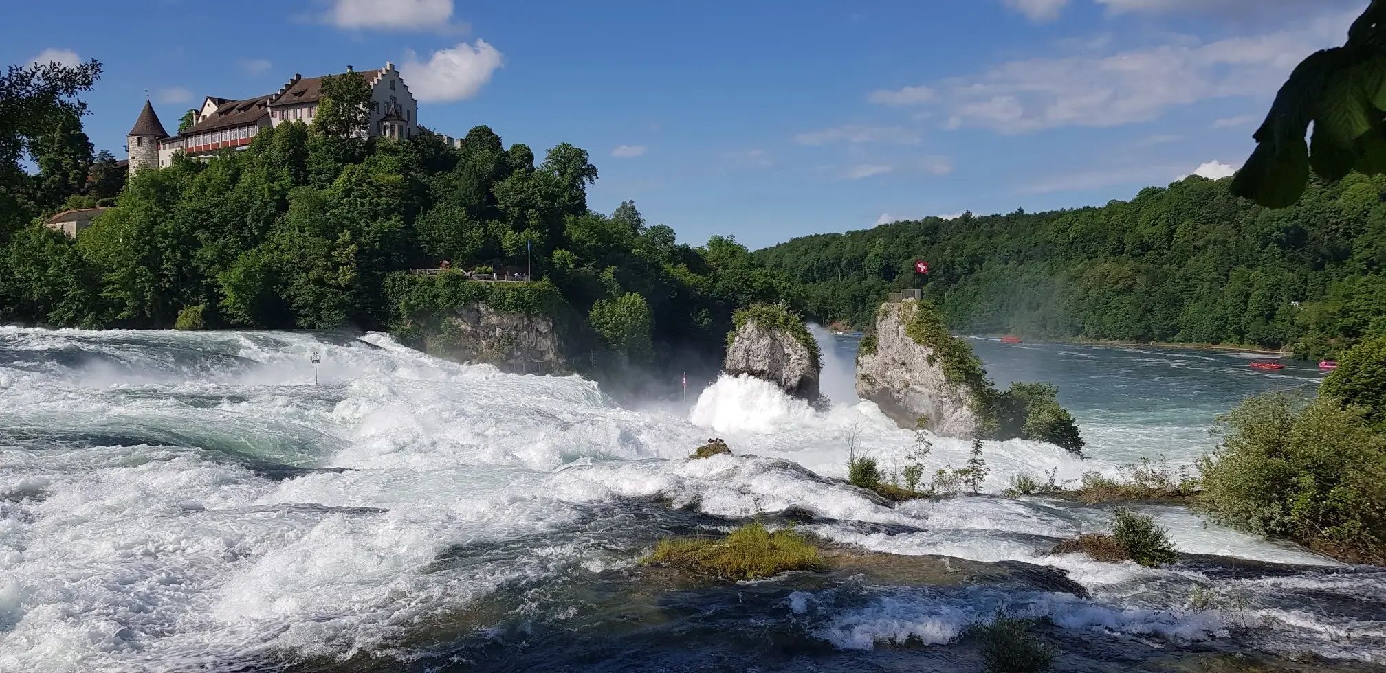
Hochrhein-Höhenweg – Forests and rivers from Germany to Switzerland
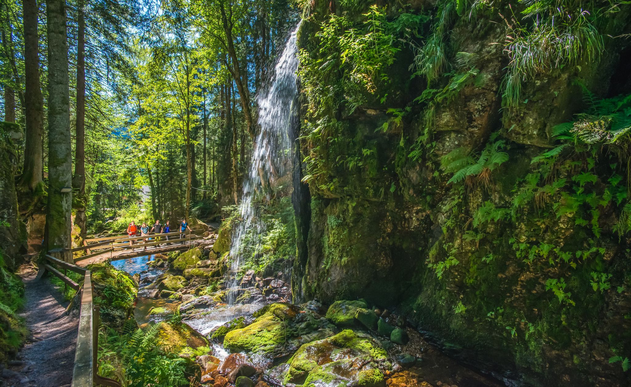
Albsteig Schwarzwald – Hike along the River Alb through the Black Forest in Germany
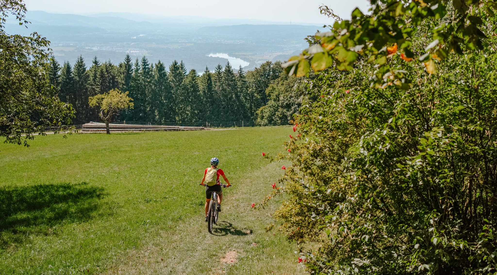
Build your dream ride: Modular biking in the Southern Black Forest
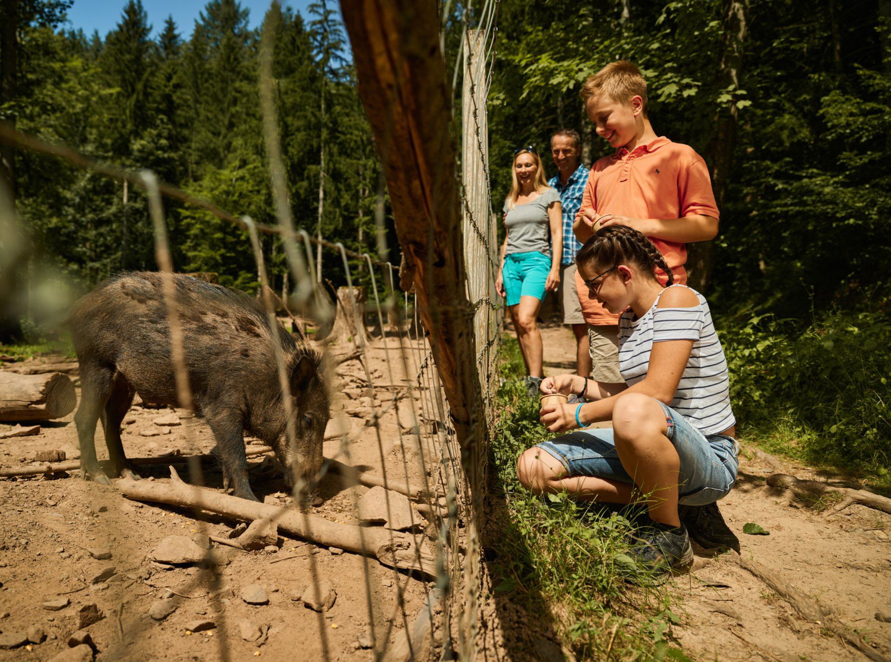
Animal Tours – family hikes in the southern Black Forest

Discover premium and quality long-distance hiking in southern Germany
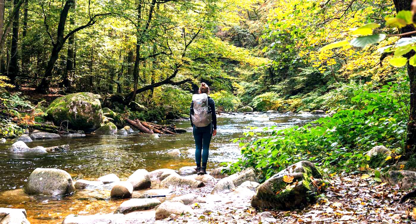
3 days hiking the Albsteig Trail – the Black Forest in Germany
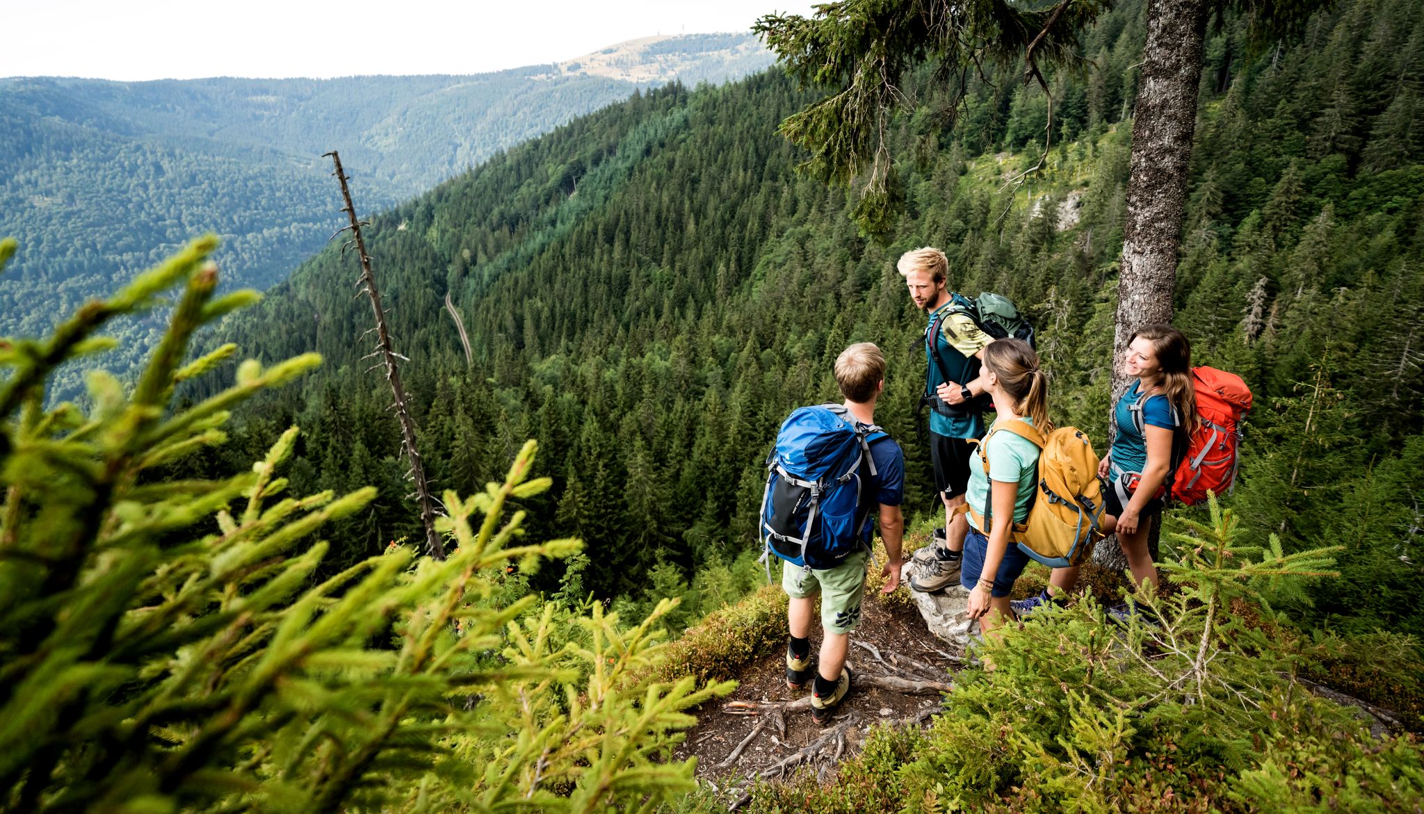
Hiking adventures in the Black Forest
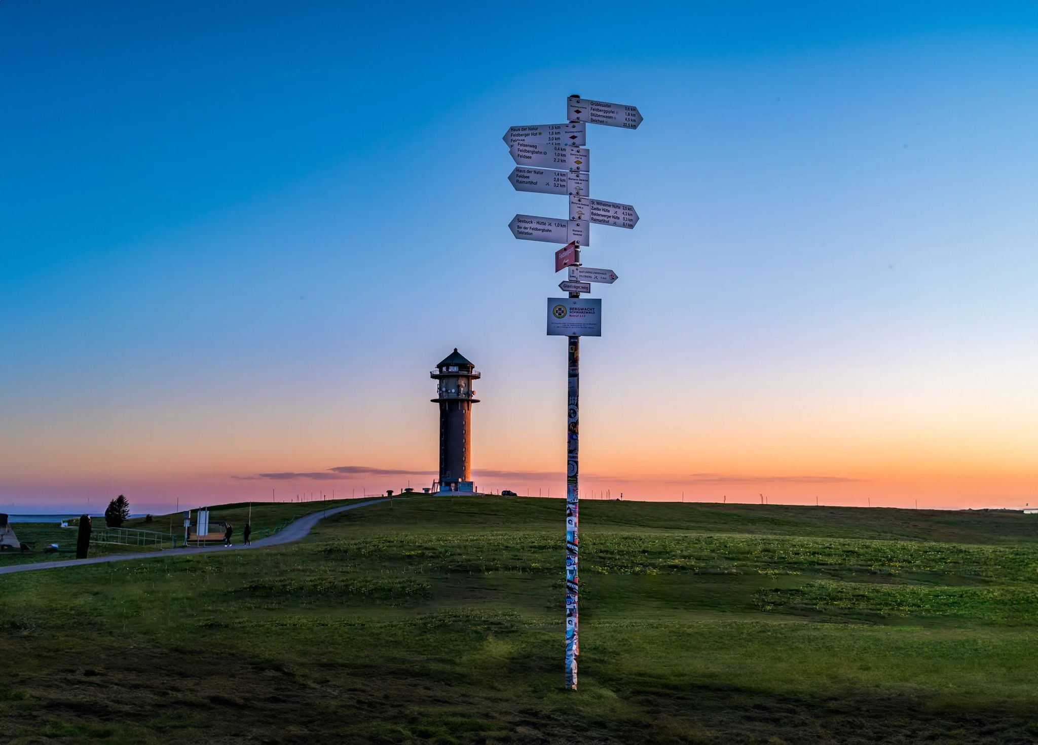
The most beautiful long-distance hiking trails in the Black Forest
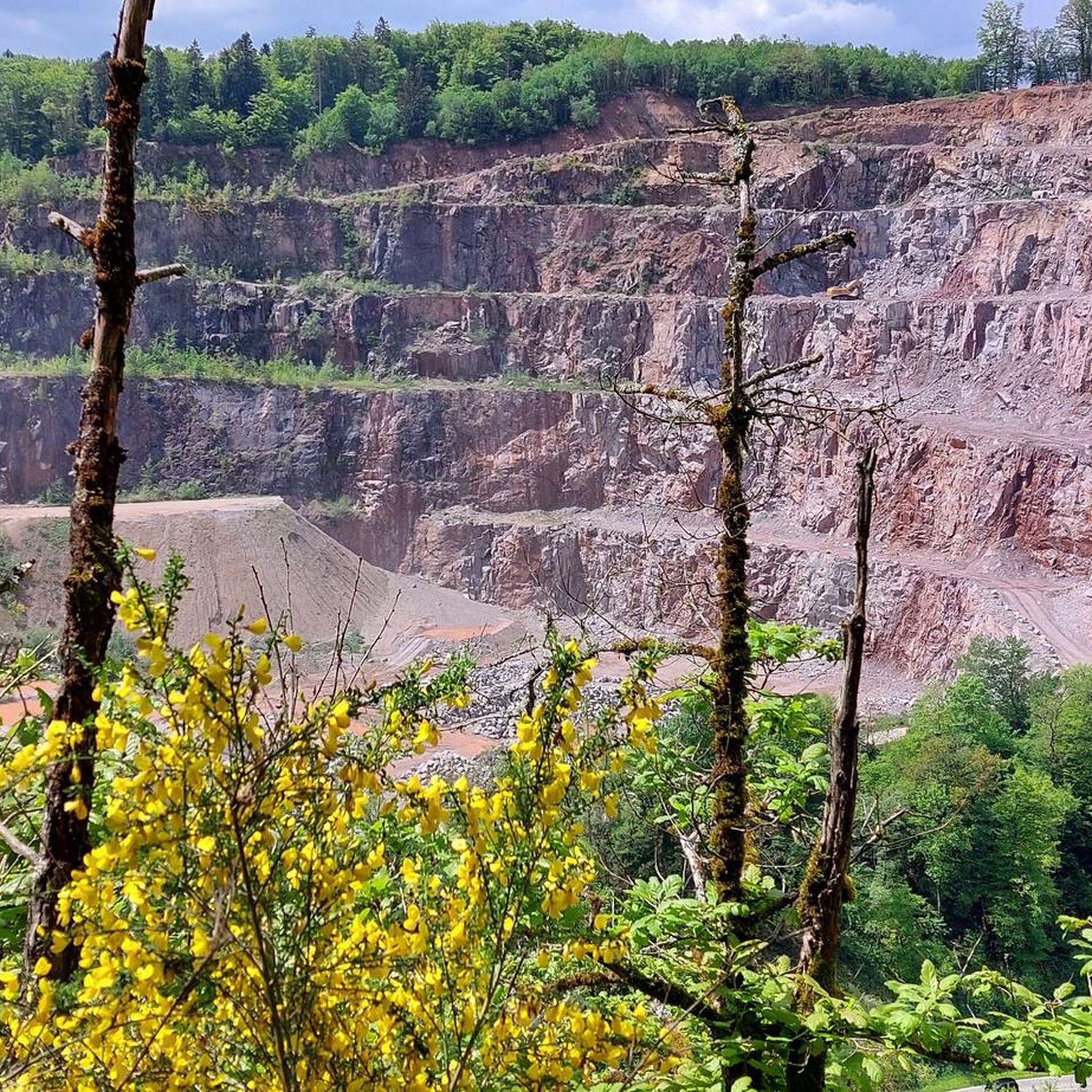
Hiking around Albbruck
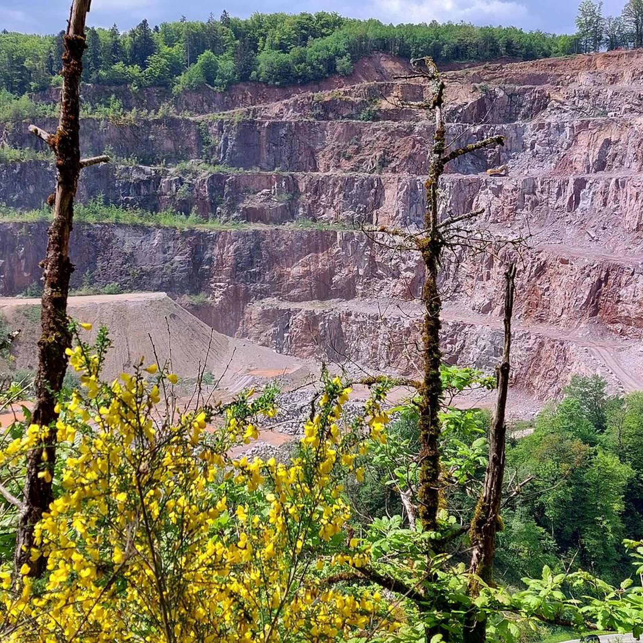
Cycling around Albbruck
Other adventures around Albbruck


Tips from the Community

Pleasant gradient, easy to manage. Beware, we are not alone on the road. Especially when going downhill. The route is also popular with motorcyclists and cars, especially on weekends and holidays when the weather is nice.
0
0


The historic stone bridge and the town hall shape the cityscape of Laufenburg and tell of the long history of the border town on the Rhine. The view of the bridge, which connects Germany and Switzerland, makes this place a particularly worthwhile stop in the old town.
0
0
The historic city gate is one of Laufenburg's striking landmarks and recalls the long history of the old town. Anyone who passes by here is immediately immersed in the medieval flair of the charming Rhine town.
0
0
Beautiful viewpoint overlooking Laufenburg and the Rhine. After the climb, a short break is worthwhile to enjoy the view of the old town and the river valley. In clear weather, the view extends far beyond the surroundings.
0
0

A clear viewpoint over the Schluchsee from the road. The calm lake backed by dense forest is characteristic of this part of the Black Forest — a moment to take in the scenery before the final descent.
0
0
With a mountain bike, the riverside path along the Rhine in Waldshut is a very pleasant section. I rolled along the water in a relaxed way and found the mix of Rhine views, calm riverside atmosphere, and proximity to the old town really nice. Perfect for taking the pace down a bit and enjoying the tour comfortably.
0
0
A very beautiful photo opportunity: the last bridge over the Aare River. Here, after 292 kilometers, the Aare flows into the Rhine.
0
0
Frequently Asked Questions
What kind of terrain can I expect on road cycling routes in Albbruck?
Road cycling around Albbruck offers a diverse mix of terrain. You'll find relatively flat sections along the High Rhine and Alb rivers, ideal for relaxed rides. For more challenging experiences, routes extend into the Black Forest foothills, featuring climbs with elevation gains ranging from approximately 200 meters to over 900 meters, and even up to 1500 meters on some difficult routes.
Are there road cycling routes suitable for beginners or those looking for an easier ride?
Yes, Albbruck offers options for various skill levels. While many routes are moderate, there are at least 15 easy road cycling routes available. These typically follow flatter sections along the rivers, providing a less strenuous experience. For example, routes like the View of Klingnauer Stausee – Cycle Path Near KKL loop from Albbruck offer moderate challenges with manageable ascents.
What natural features and landmarks can I see along the road cycling routes in Albbruck?
The region is rich in natural beauty and interesting landmarks. You can cycle along the scenic High Rhine and Alb River, or explore the dramatic Albtal Gorge with its deep ravines and bubbling streams. Notable viewpoints include the Lehenkopf Tower, offering expansive views, and the Gugelturm Observation Tower with Views of the Alps on clear days. Historic sites like Kasteln Castle and the Kaiserstuhl Castle are also accessible along routes.
Are there any routes that feature waterfalls?
While road cycling routes primarily focus on paved surfaces, the Albtal Gorge, a prominent natural feature near Albbruck, is known for its picturesque waterfalls. You can find highlights like the Great Höllbach Waterfall and Krai-Woog Gumpen Waterfall in the broader region, which might be accessible via short detours or combined with other activities.
What is the best time of year for road cycling in Albbruck?
The best time for road cycling in Albbruck is generally during the warmer months, from spring through autumn. The region experiences pleasant weather during these seasons, making it ideal for exploring the diverse landscapes. Always check the local weather forecast before heading out, especially when planning longer rides or those with significant elevation changes.
Are there any circular road cycling routes around Albbruck?
Yes, many of the road cycling routes around Albbruck are designed as loops, offering convenient circular tours. Examples include the Kasteln Castle – Laufenburg City Gate loop from Dogern and the Upper Tower Kaiserstuhl – Kaiserstuhl Castle and Bridge loop from Dogern. These circular routes allow you to start and end at the same point, making logistics easier.
How long are the road cycling routes in Albbruck?
The road cycling routes around Albbruck vary significantly in length to suit different preferences. You can find shorter rides, such as the 'Aare Bridge, Koblenz – Klingnau Reservoir loop from Albbruck' at about 34.7 km, to more extensive tours like the Äulemer Kreuz Pass Summit – Äulemer Höhe Pass Road loop from Dogern, which covers over 90 km.
What do other road cyclists enjoy most about cycling in Albbruck?
The road cycling routes in Albbruck are highly rated by the komoot community, with an average score of 4.6 stars from over 460 reviews. Cyclists often praise the varied terrain, which offers both scenic river-side rides and challenging climbs into the Black Forest foothills, as well as the well-maintained paved surfaces suitable for road bikes. The combination of natural beauty and diverse routes makes it a popular destination.
Are there any challenging road cycling routes for experienced riders?
Absolutely. For experienced road cyclists seeking a challenge, Albbruck offers several difficult routes with significant elevation gains. For instance, the Äulemer Kreuz Pass Summit – Äulemer Höhe Pass Road loop from Dogern is a difficult 93.7 km route with over 1500 meters of ascent, providing a demanding and rewarding experience.
Is public transport available to access road cycling routes in Albbruck?
Albbruck is generally accessible, and public transport options may be available to reach the starting points of various routes. For specific details on bus or train connections that accommodate bicycles, it's advisable to check local public transport schedules and regulations in advance, especially if you plan to bring your bike on board.
Are there places to park for cyclists in Albbruck?
While specific parking areas for cyclists are not detailed, Albbruck, as a destination for outdoor activities, typically offers public parking facilities. It is recommended to check local signage or municipal websites for information on designated parking areas that are convenient for accessing the road cycling routes.
Can I find cafes or pubs along the road cycling routes in Albbruck?
The region around Albbruck, including towns and villages along the High Rhine and within the Black Forest foothills, offers various opportunities for refreshments. Many routes pass through or near settlements where you can find cafes, pubs, or restaurants to refuel during your ride. Planning your route with komoot can help identify such stops.
Most popular routes around Albbruck
Most popular attractions around Albbruck

Get inspired with the komoot mobile app


Explore more
Browse the best Road cycling routes in other regions.
