The best hikes from bus stations around Albbruck
4.3
(662)
2,689
hikers
41
hikes
Bus station hiking trails around Albbruck offer access to a diverse natural landscape on the southern edge of the Black Forest, along the High Rhine. The region is characterized by deep gorges, bubbling streams, and varied forest paths. Hikers can explore a network of trails that traverse narrow valleys and sunny field paths, often providing views towards the Southern Black Forest Nature Park. This area provides a range of routes suitable for different fitness levels, from gentle walks to more…
Last updated: June 28, 2026
4.8
(20)
95
hikers
22.6km
06:43
670m
670m
Hard hike. Very good fitness required. Mostly accessible paths. Sure-footedness required.
4.4
(12)
44
hikers
Moderate hike. Good fitness required. Easily-accessible paths. Suitable for all skill levels.

Sign up for free
4.3
(6)
37
hikers
8.05km
02:19
190m
190m
Moderate hike. Good fitness required. Easily-accessible paths. Suitable for all skill levels.
4.7
(6)
21
hikers
17.5km
05:07
470m
470m
Hard hike. Very good fitness required. Easily-accessible paths. Suitable for all skill levels.
4.0
(1)
15
hikers
8.31km
02:19
160m
160m
Moderate hike. Good fitness required. Easily-accessible paths. Suitable for all skill levels.
Get access to more routes and recommendations from other explorers.
Sign up for free
Already have an account?
Our route recommendations are based on thousands of hikes, rides, and runs completed by other people on komoot.
Start today with a free account
Your next adventure awaits.
Login or Signup
Popular around Albbruck
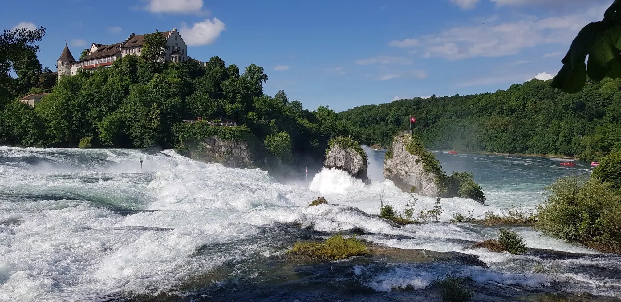
Hochrhein-Höhenweg – Forests and rivers from Germany to Switzerland
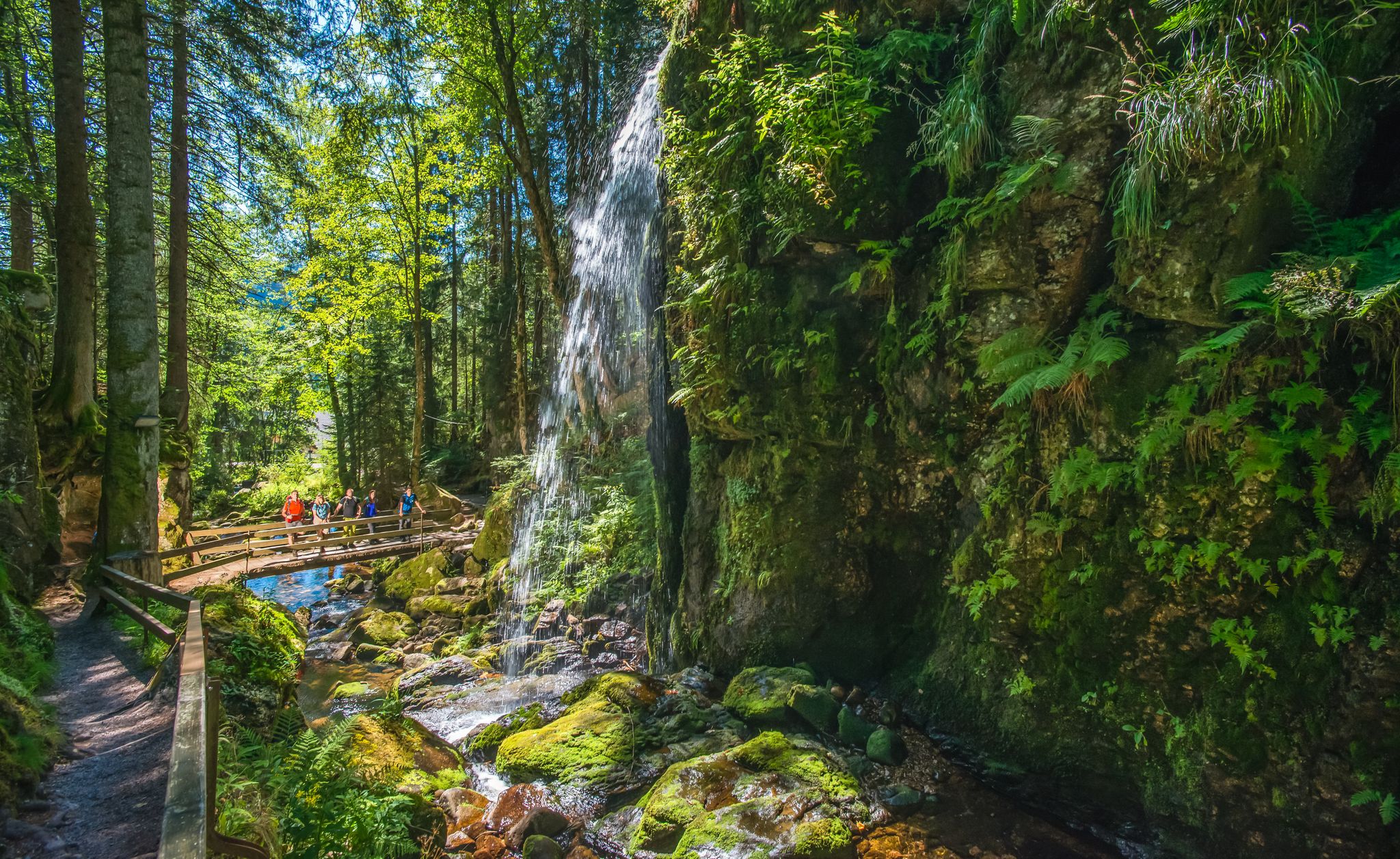
Albsteig Schwarzwald – Hike along the River Alb through the Black Forest in Germany
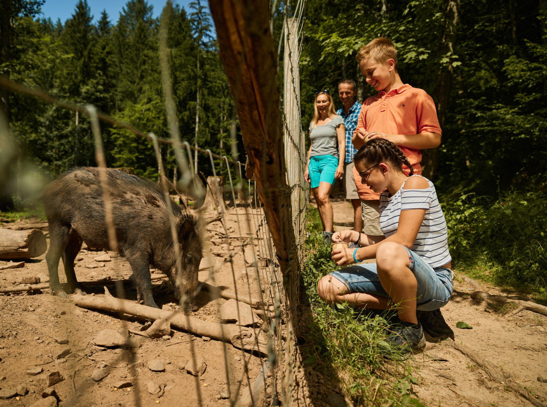
Animal Tours – family hikes in the southern Black Forest

Discover premium and quality long-distance hiking in southern Germany
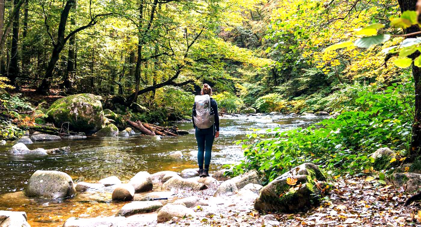
3 days hiking the Albsteig Trail – the Black Forest in Germany
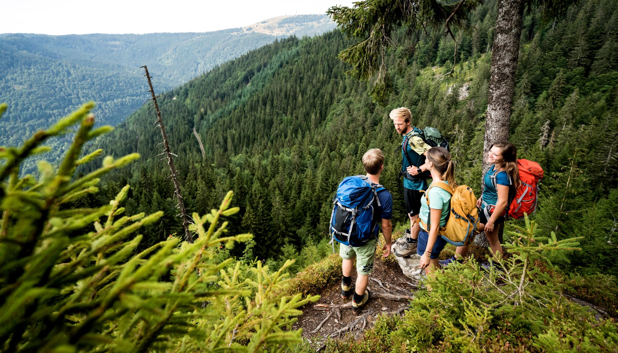
Hiking adventures in the Black Forest
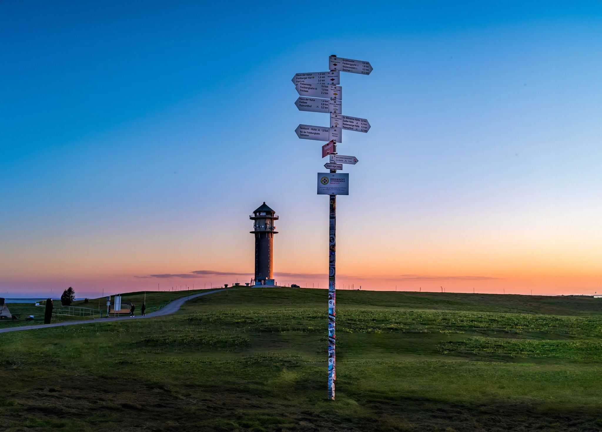
The most beautiful long-distance hiking trails in the Black Forest
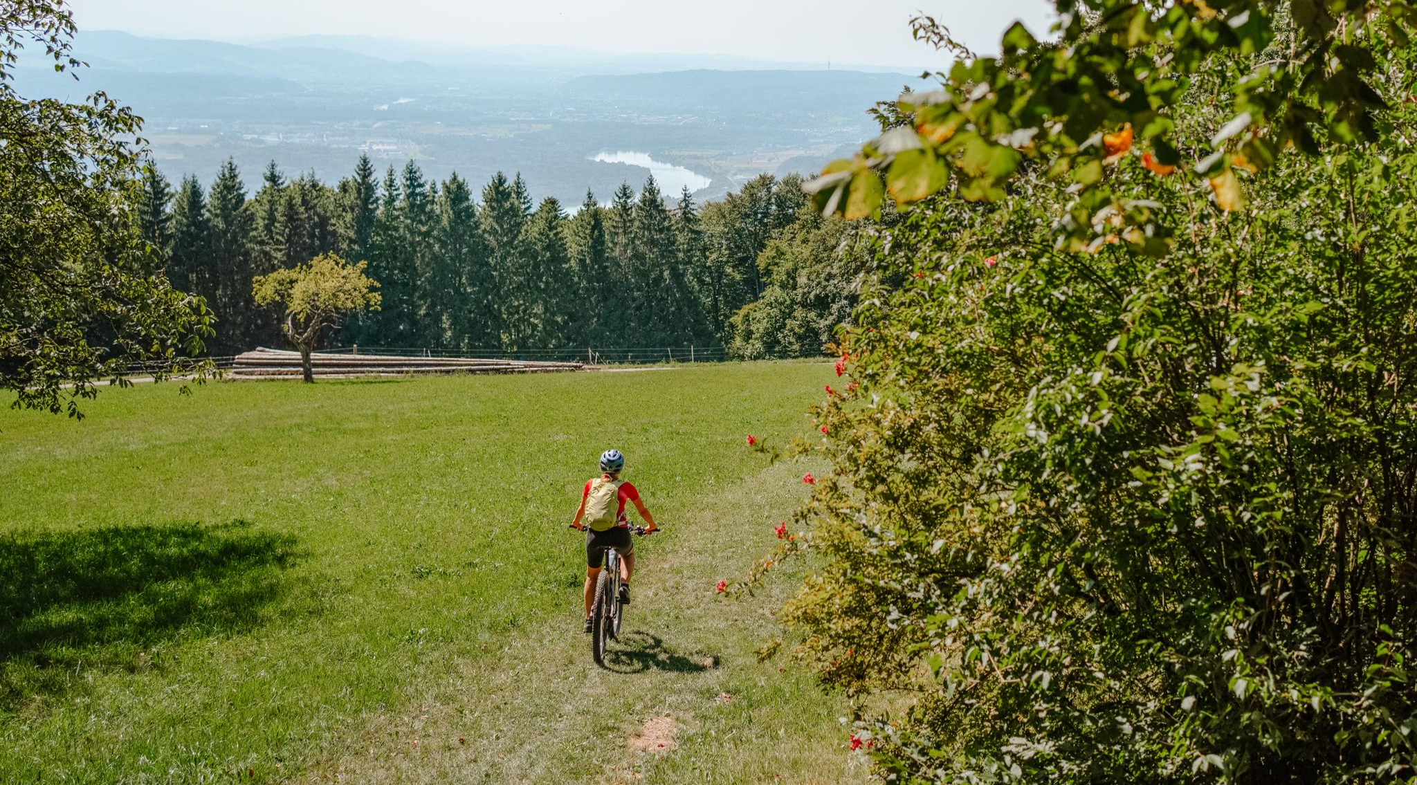
Build your dream ride: Modular biking in the Southern Black Forest
Other adventures around Albbruck


Tips from the Community


The Albtal-Brücke bridge on the Studingerstieg offers impressive views of the valley and the surrounding Black Forest landscape. A striking point along the route, where a short stop is worthwhile to enjoy the special location and the view.
0
0
The Albbrücke impressively spans the river and offers beautiful views of the Alb and the surrounding nature. A striking point along the route, well-suited for a short stop and a photo.
0
0

We crossed the Alb on the hike from Göhrwil to Waldshut, a beautiful, quiet place
0
0

We were lucky enough to observe two chamois today. Beautiful and large specimens. Unfortunately, we couldn't take a photo. So next time in this area, keep your camera handy!
0
0

January 2025. It was -3 degrees cold. But it was still a very beautiful sight. The icicles on the waterfall and on the rocks, the sunlight - simply fantastic. I have never been to the Höllbach waterfall in winter. But it is definitely worth seeing at this time of year too. 🦉
1
0

⚠️ Please note ⚠️ You must not believe the hiking signs. If you follow the hiking signs you ONLY get to the viewing platform "Teufelskueche" and it is above the "Teufelskuechen- Badestelle". You can NOT get to the water from the platform, only from the street side (L154). There is also a small parking area for about 3 cars.
1
0

Danger! The signage is incomplete and the Albtal Gorge can be life-threatening.
0
0
Frequently Asked Questions
How many hiking trails are accessible from bus stations around Albbruck?
Albbruck offers over 40 hiking trails that are easily accessible from various bus stations, providing a wide range of options for exploring the region's natural beauty. These routes cater to different preferences, from leisurely strolls to more challenging treks.
What kind of difficulty levels can I expect on bus station hikes in Albbruck?
The trails around Albbruck accessible by bus stations offer a good mix of difficulties. You'll find approximately 21 easy routes perfect for a relaxed outing, 18 moderate trails for those seeking a bit more challenge, and 3 difficult routes for experienced hikers looking for a strenuous adventure.
Are there any bus station hikes in Albbruck that feature waterfalls?
Yes, the Albbruck region is known for its beautiful waterfalls. For a hike that takes you directly to a significant cascade, consider the Höllbach Bridge – Great Höllbach Waterfall loop from Schneeglöckchenstandort auf Gemarkung Buch. This moderate 16 km route leads you to the impressive Great Höllbach Waterfall, which is a major highlight in the area.
Can I find circular hiking routes starting from bus stations in Albbruck?
Absolutely. Many routes in Albbruck are designed as circular walks, making them convenient for public transport users. An excellent example is the Alb Bridge – Bridge Over the Alb loop from Mühlbachtal, a moderate 8 km trail that offers scenic views and brings you back to your starting point.
What natural features or landmarks can I see along the bus station hiking trails?
The trails around Albbruck are rich in natural beauty and interesting landmarks. You can explore deep gorges like the Alb Valley Gorge, discover unique geological formations such as the Teufelsküche Rock Formations and Pools, or visit historical sites like the Wieladingen Castle Ruins. Many routes also offer panoramic viewpoints over the Southern Black Forest Nature Park.
Are there any family-friendly bus station hikes in Albbruck?
Yes, Albbruck offers several family-friendly options. While specific 'Animal Tours' are available in the wider region, for a moderate and manageable hike from a bus station, the Zinkenbrunnen – Chamois in the Alb Valley loop from Mühlbachtal is a great choice. It's about 8.3 km long and suitable for families looking for a pleasant outdoor experience.
What is the best time of year to go hiking from bus stations in Albbruck?
The Albbruck region is beautiful year-round, but spring (April-May) and autumn (September-October) are particularly popular for hiking. During these seasons, the weather is generally mild, and the landscapes are vibrant with blooming flowers or colorful foliage. Summer offers warmer temperatures, while winter can provide opportunities for snowy walks, though some trails might be less accessible.
Are there any longer, more challenging bus station hikes available?
For experienced hikers seeking a longer and more challenging adventure, the Bridge over the Alb River – Höllbach Bridge loop from Niederwihl is an excellent choice. This difficult route spans over 24 km with significant elevation gain, offering a full day of immersive hiking through diverse terrain.
What do other hikers enjoy most about the bus station trails in Albbruck?
The komoot community highly rates the hiking experience around Albbruck, with an average score of 4.36 stars from over 570 ratings. Hikers frequently praise the diverse scenery, from deep gorges and bubbling streams to panoramic viewpoints, and the excellent accessibility of trails from public transport hubs.
Can I find hikes with good viewpoints accessible by bus in Albbruck?
Yes, the region boasts numerous viewpoints. The Chälhuddle Viewpoint Bench – Shelter loop from Albbruck is a challenging 17.4 km route that includes the Chälhuddle Viewpoint, offering stunning vistas over the surrounding landscape and into the Alb valley.
Most popular routes around Albbruck
Most popular attractions around Albbruck

Get inspired with the komoot mobile app


Explore more
Browse the best Hikes in other regions.
