Easy hikes and walks around Albbruck
4.3
(685)
2,663
hikers
90
hikes
Easy hiking trails around Albbruck are situated at the southern edge of Germany's Black Forest, offering a landscape characterized by the Alb Valley, the River Alb, and the High Rhine. The region features deep gorges, extensive forests, and rolling hills, providing diverse terrain for outdoor activities. Hikers can explore paths along riverbanks, through shaded woodlands, and across open meadows. This area is part of the Southern Black Forest foothills, with elevations generally under 200 meters, making it suitable for accessible…
Last updated: October 17, 2026
4.2
(5)
21
hikers
4.08km
01:12
120m
120m
Easy hike. Great for any fitness level. Easily-accessible paths. Suitable for all skill levels.
4.4
(10)
39
hikers
3.51km
00:58
70m
60m
Easy hike. Great for any fitness level. Easily-accessible paths. Suitable for all skill levels.

4.5
(6)
29
hikers
6.25km
01:43
100m
100m
Easy hike. Great for any fitness level. Easily-accessible paths. Suitable for all skill levels.
4.4
(10)
40
hikers
3.55km
00:59
70m
70m
Easy hike. Great for any fitness level. Easily-accessible paths. Suitable for all skill levels.
4.0
(5)
18
hikers
3.73km
01:02
60m
60m
Easy hike. Great for any fitness level. Easily-accessible paths. Suitable for all skill levels.
Get access to more routes and recommendations from other explorers.
Already have an account?
Our route recommendations are based on thousands of hikes, rides, and runs completed by other people on komoot.
Start today with a free account
Your next adventure awaits.
Popular around Albbruck
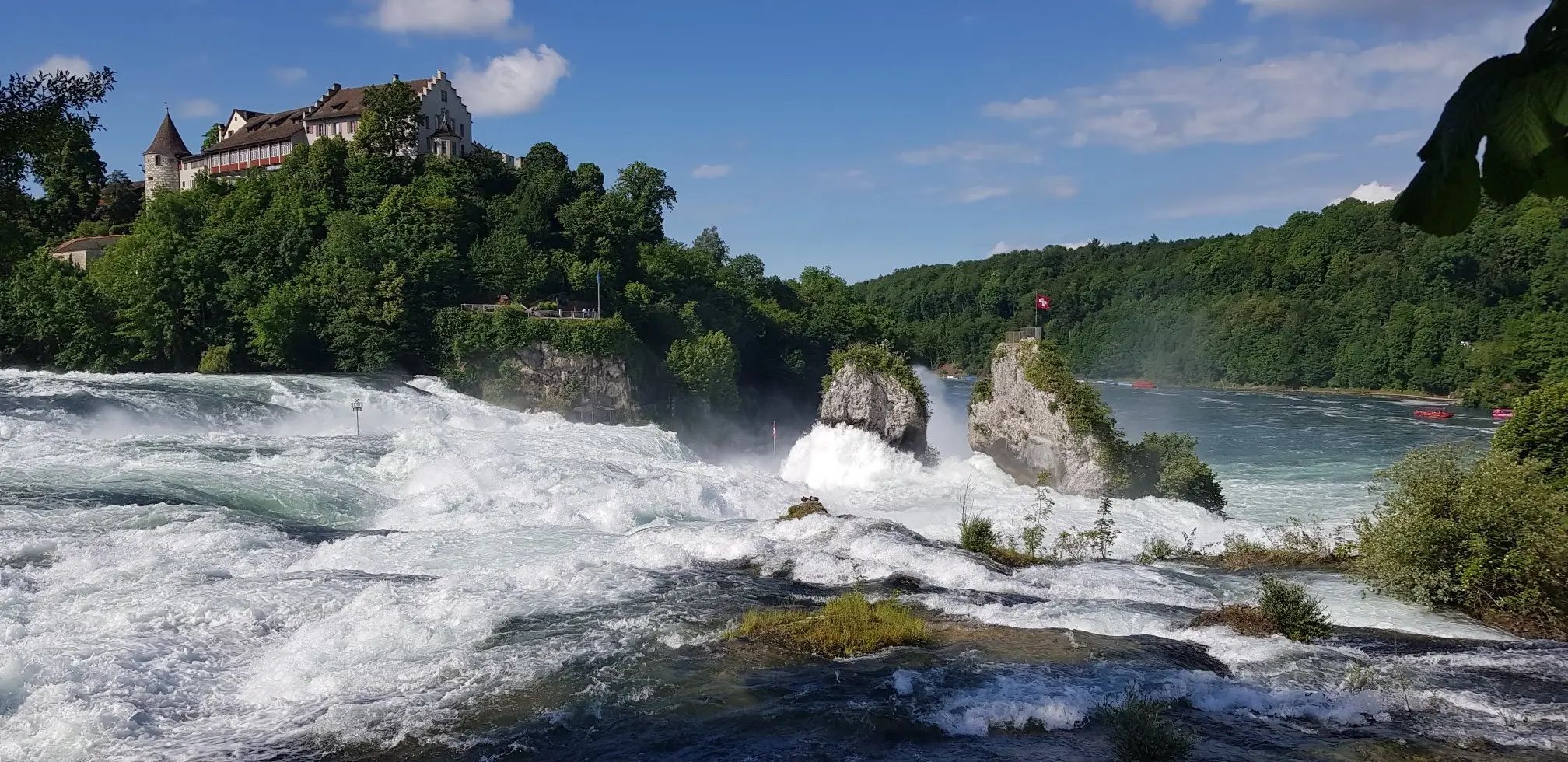
Hochrhein-Höhenweg – Forests and rivers from Germany to Switzerland
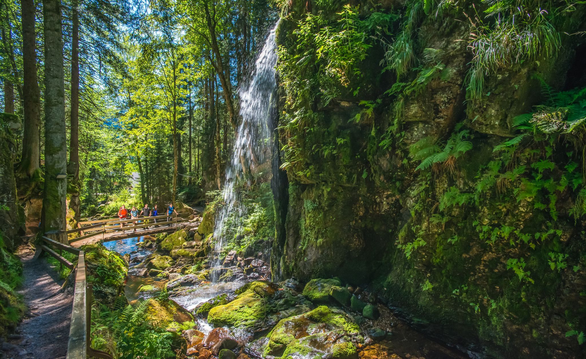
Albsteig Schwarzwald – Hike along the River Alb through the Black Forest in Germany
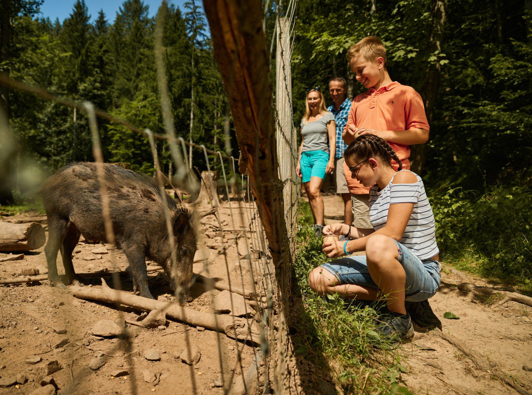
Animal Tours – family hikes in the southern Black Forest

Discover premium and quality long-distance hiking in southern Germany
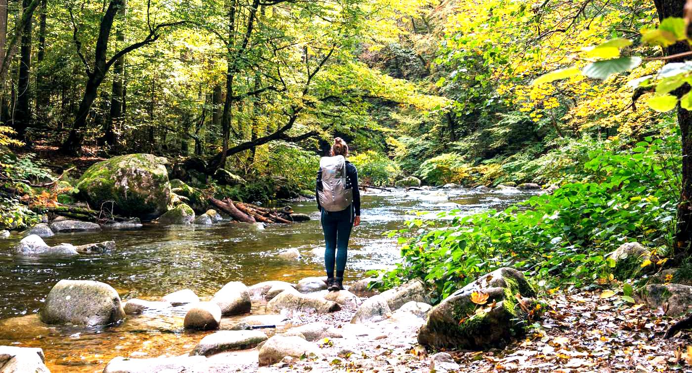
3 days hiking the Albsteig Trail – the Black Forest in Germany
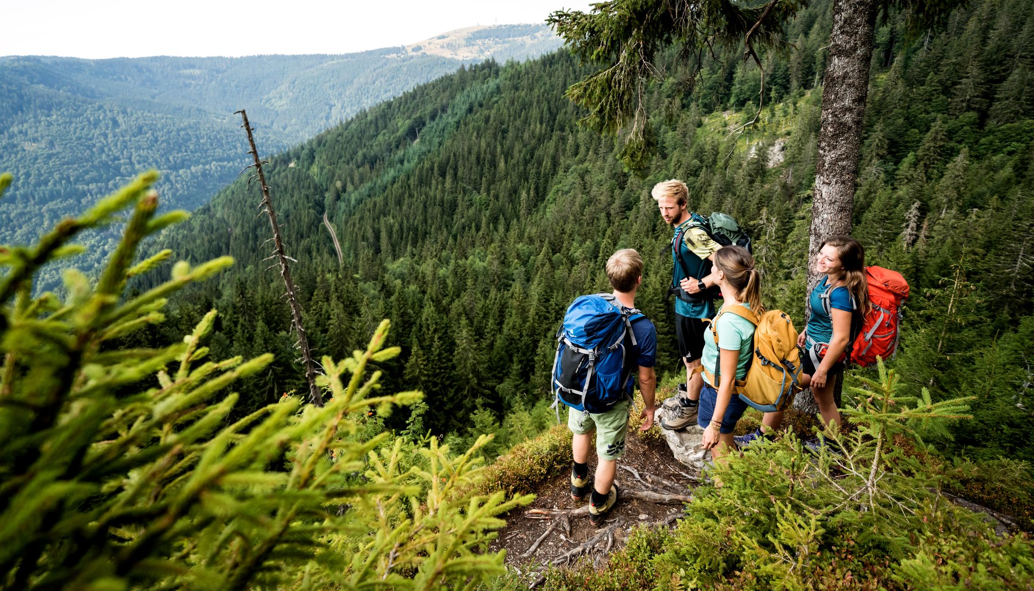
Hiking adventures in the Black Forest
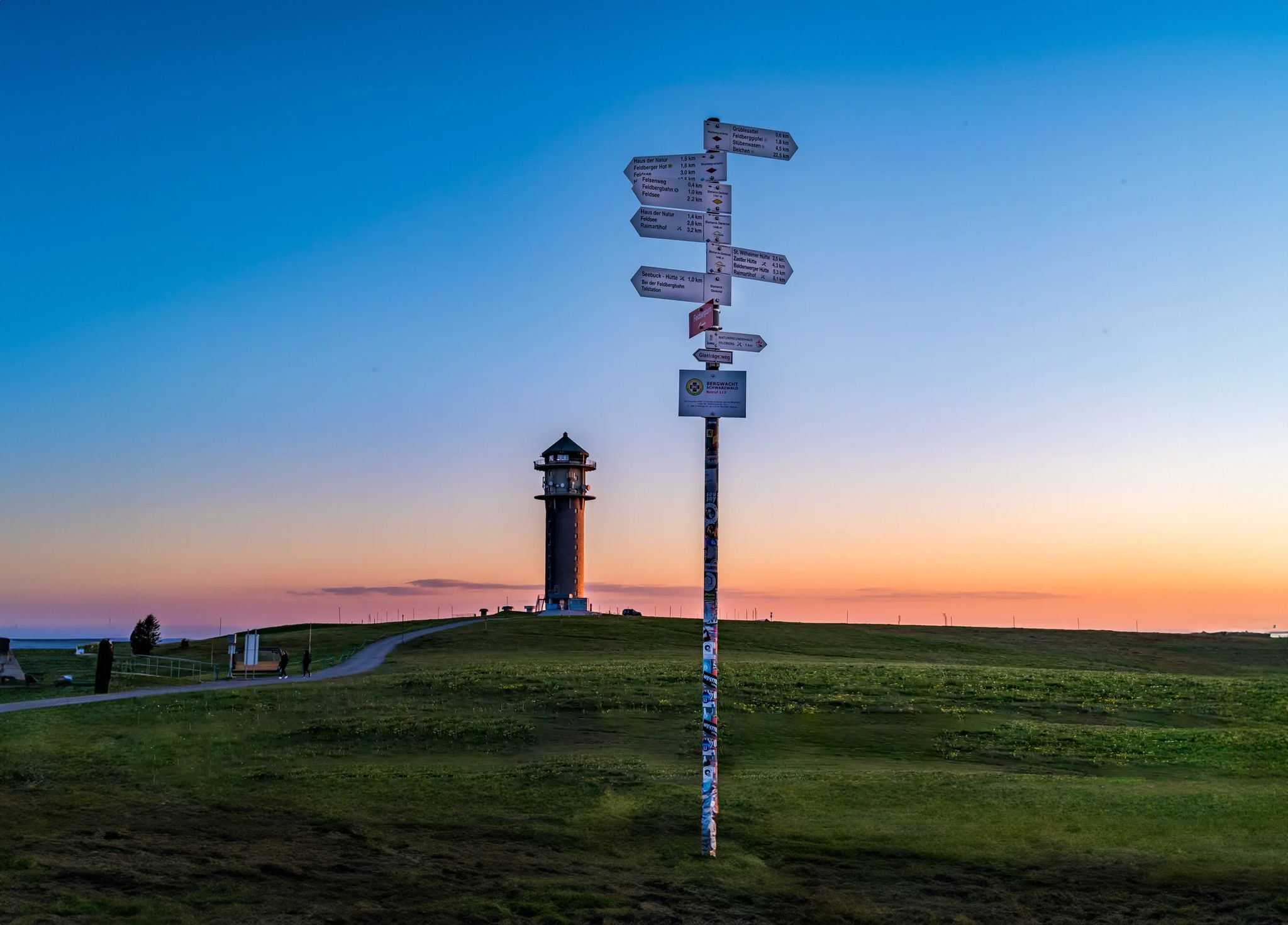
The most beautiful long-distance hiking trails in the Black Forest
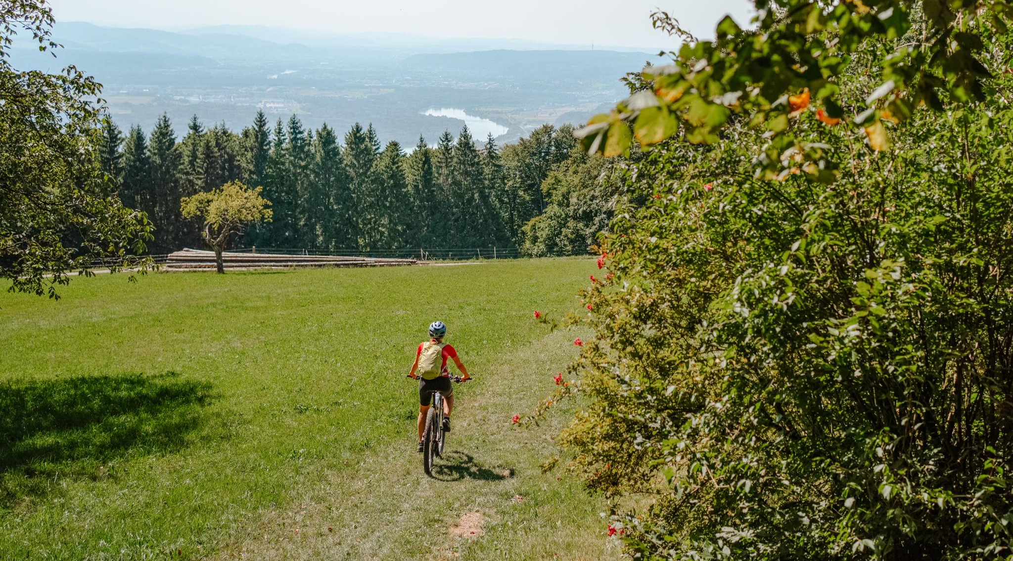
Build your dream ride: Modular biking in the Southern Black Forest
Other adventures around Albbruck


Tips from the Community

Grandiose view into the Steinachtal – perfect spot to take a breath.
0
0
A quick stop on the walk – from the bench you have a clear view of the industrial plant 🏭 An interesting contrast between nature and technology, perfect for a short break or photos.
0
0
Beautiful viewpoint overlooking Göhrwil and the surrounding hills. Perfect for a short break and some photos 📸 Best seen on a clear day or at sunset.
0
0
A beautiful, easily rideable gravel road through the Southern Black Forest Nature Park – ideal for gravel and mountain biking. Usually in good condition, but can become soft in places after rain.
0
0
The trail is wide and well-maintained. Beautiful views, running, racing, cycling – everything is possible.
0
0
"Panoramic view over the nature park – ideal for a quick photo."
0
0
Beautiful, quiet forest path – relaxing to drive and ideal for taking a deep breath.
0
0
"A quiet rest area in the Southern Black Forest Nature Park – a perfect break with a beautiful view."
0
0
Frequently Asked Questions
How many easy hiking trails are there around Albbruck?
Albbruck offers a wide selection of easy hiking trails, with over 45 routes specifically categorized as easy. In total, there are nearly 100 hiking tours available in the region, catering to various preferences and fitness levels.
What kind of landscapes can I expect on easy hikes in Albbruck?
Easy hikes in Albbruck traverse diverse landscapes, including the picturesque Alb Valley with its deep gorges and the serene banks of the High Rhine. You'll also find paths winding through the expansive Black Forest woodlands and across open meadows, offering varied scenery with elevations generally under 200 meters.
Are there any easy circular walks in Albbruck?
Yes, many easy trails in Albbruck are circular, perfect for a relaxed outing. A popular option is the Hiking loop from Birkingen, which is 4.1 km long and takes about 1 hour 12 minutes to complete, offering varied local scenery.
Can I find viewpoints on easy hiking trails in Albbruck?
Absolutely. Several easy routes lead to scenic viewpoints. For example, the Shelter – Chälhuddle Viewpoint Bench loop from Iburg is a 6.2 km trail that takes you through forested areas to a rewarding viewpoint. Another great option is the High pasture with panoramic views loop from Unteralpfen.
Are there any waterfalls accessible on easy hikes?
While the region is known for its waterfalls, many of the more dramatic ones are on harder routes. However, you can find the beautiful Lehenbach Waterfalls nearby, which can be incorporated into some walks, offering a tranquil natural highlight.
What historical landmarks can I see near the easy trails?
The Albbruck area is rich in history. You can explore the Wieladingen Castle Ruins or the Besserstein Castle Ruins, which offer glimpses into the past amidst scenic surroundings. The Fairytale staircase up to the Wieladingen castle ruins is also a unique point of interest.
What do other hikers say about the easy trails in Albbruck?
The easy hiking trails in Albbruck are highly regarded by the komoot community, with an average rating of 4.4 stars from over 500 reviews. Hikers often praise the well-maintained paths, the varied scenery, and the accessibility of the routes, making them enjoyable for a wide range of visitors.
Are there any easy trails with views of the Steinach Valley?
Yes, for scenic views of the Steinach Valley, consider the View of the Steinach Valley – View of Görwihl loop from Iburg. This easy 3.5 km path provides beautiful panoramas of the valley and surrounding areas.
What is the best time of year for easy hikes in Albbruck?
Albbruck is enjoyable for easy hikes throughout much of the year. Spring brings lush greenery and blooming wildflowers, while autumn offers vibrant fall foliage. Summer is pleasant for forest walks, and even mild winter days can be beautiful, especially if you catch a glimpse of frozen waterfalls.
Are there any places to rest or have a snack along the easy trails?
Many trails in the Black Forest region, including those around Albbruck, often feature benches, shelters, or even small huts. For a more substantial stop, you might find a country inn like the Country Inn Eichrüttehof near some routes, perfect for a break.
What are the typical distances and durations for easy hikes in Albbruck?
Easy hikes in Albbruck typically range from 3 to 6 kilometers in distance, with durations from just over an hour to about 2 hours. For instance, the View of Görwihl – View of the Steinach Valley loop from Iburg is 3.5 km and takes approximately 1 hour.
Most popular routes around Albbruck
Most popular attractions around Albbruck

Get inspired with the komoot mobile app


Explore more
Browse the best Hikes in other regions.
