The best cycling routes around Saint-Mary-Le-Plain
4.8
(24)
231
riders
47
rides
Touring cycling around Saint-Mary-Le-Plain, located in the Cantal department of south-central France, offers diverse landscapes shaped by its volcanic terrain. The region features elevations ranging from 640 to 1,021 meters, providing varied climbs and descents. Cyclists can explore the Arcueil river valley, known for its natural cavities, and extensive forests. This area is part of the Auvergne Volcanoes Regional Natural Park, characterized by its dramatic mountain scenery.
Best touring cycling routes around Saint-Mary-Le-Plain
- The most popular touring cycling route is…
Last updated: October 16, 2026
4.0
(1)
28
riders
118km
08:00
2,010m
2,010m
Hard bike ride. Very good fitness required. Mostly paved surfaces. Suitable for all skill levels.
4.4
(5)
31
riders
Moderate bike ride. Good fitness required. Mostly paved surfaces. Suitable for all skill levels.

23
riders
88.7km
06:43
1,530m
1,530m
Hard bike ride. Very good fitness required. You may need to push your bike for some segments of this route.
5.0
(1)
16
riders
56.8km
03:43
830m
830m
Hard bike ride. Very good fitness required. Mostly paved surfaces. Suitable for all skill levels.
5.0
(1)
8
riders
Hard bike ride. Very good fitness required. Mostly paved surfaces. Suitable for all skill levels.
Get access to more routes and recommendations from other explorers.
Already have an account?
Our route recommendations are based on thousands of hikes, rides, and runs completed by other people on komoot.
Start today with a free account
Your next adventure awaits.


Tips from the Community

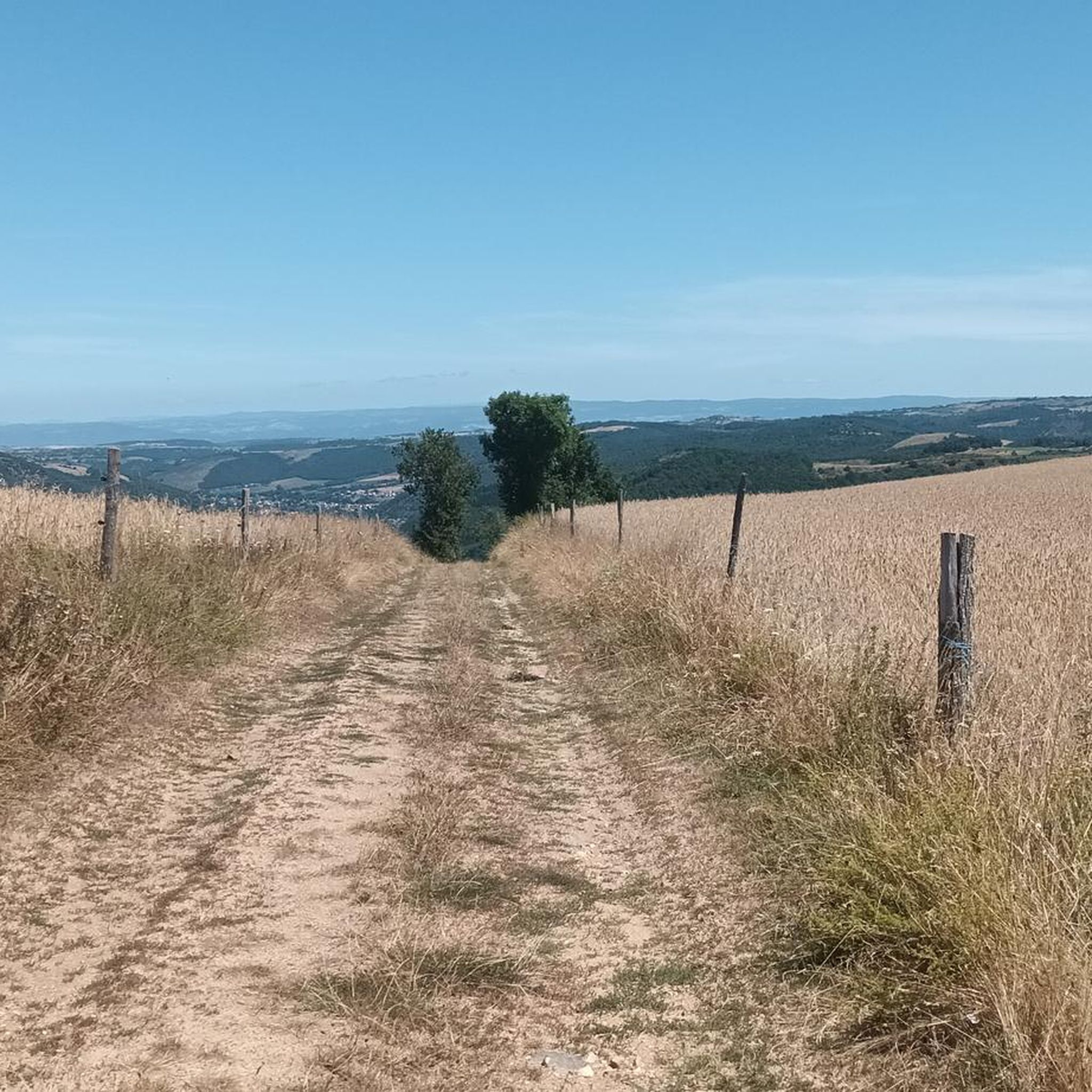
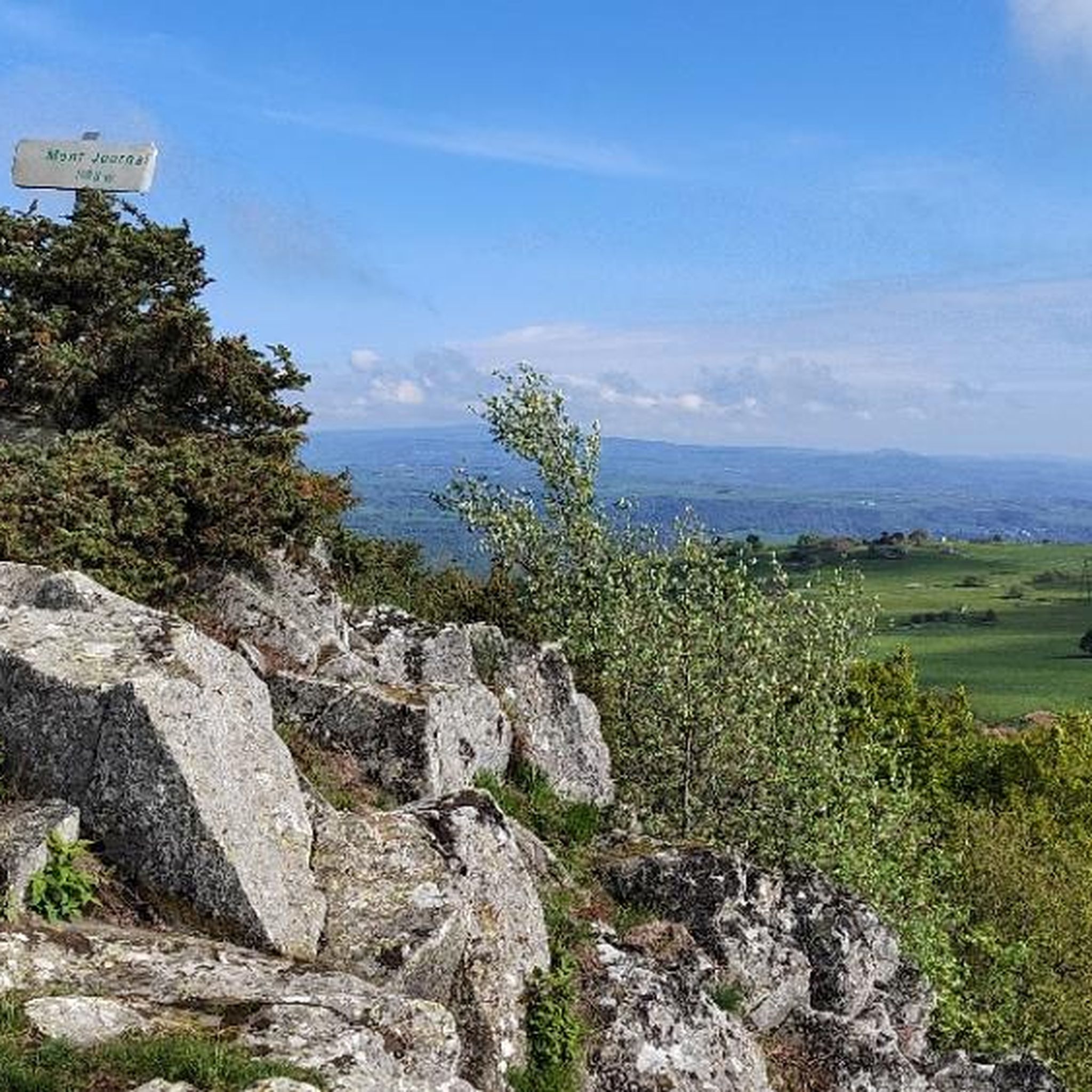
A beautiful, partly shady climb from Claux to the pass. Then the real challenge begins at Puy Mary.
0
0

The route takes you through incredibly beautiful scenery as you head up the valley.
1
0

By bike you can see this castle from different angles. It is worth the detour.
2
0
By bike you can see this castle from different angles. It is worth the detour.
1
0

Very beautiful little ruin well highlighted, there is an incredible view of the sunset and picnic tables next to the castle.
0
0
This pass is rather easy if we compare it with what awaits us, the Puy Mary
1
0

In the northwest of Haute-Loire, Lempdes-sur-Allagnon is a welcoming stopover on the edge of the waters of Alagnon. The center of the town reveals two historic monuments with the Hall and the Saint-Giraud church.
0
0
Frequently Asked Questions
How many touring cycling routes are available around Saint-Mary-Le-Plain?
There are over 45 touring cycling routes available around Saint-Mary-Le-Plain. These routes cater to various skill levels, with options ranging from easy to difficult, ensuring a suitable ride for most cyclists.
What kind of terrain can I expect when touring cycling in Saint-Mary-Le-Plain?
The region is characterized by its dramatic volcanic terrain, with elevations ranging from 640 to 1,021 meters, offering both challenging climbs and rewarding descents. You'll also encounter picturesque river valleys, such as the Arcueil, and lush forests, providing a diverse and engaging cycling experience.
Are there any easy touring cycling routes for beginners or families?
While many routes in the area are challenging, there is at least one easy touring cycling route available. The broader Cantal region, which Saint-Mary-Le-Plain is part of, offers varied terrain, so it's advisable to check route profiles for gentler gradients if you're looking for a more relaxed ride.
What are some of the more challenging touring cycling routes in the area?
For experienced touring cyclists seeking a challenge, routes like the Serre Pass – Pas de Peyrol Pass (1,589 m) loop from Massiac - Blesle offer significant elevation gain through volcanic landscapes. Another demanding option is the Entrance to Cantal – Massiac loop from Massiac - Blesle, which provides a substantial workout over 56.8 km.
Are there any circular touring cycling routes around Saint-Mary-Le-Plain?
Yes, many of the touring cycling routes in the area are designed as loops, allowing you to start and finish at the same point. For example, the Sailhant Castle – Saint-Flour loop from Coren is a challenging 90.3 km circular route that showcases historic sites and varied terrain.
What are some interesting places or landmarks to see along the touring cycling routes?
The region offers several points of interest. You might encounter historic sites like the Chapelle Sainte Madeleine or pass through charming towns such as Massiac. Natural features include the dramatic Gorges of the Sianne and scenic viewpoints like the Lastic Viewpoint. The View of Léotoing castle – Blesle loop from Massiac - Blesle specifically highlights a historic castle view.
Is Saint-Mary-Le-Plain part of a larger cycling network or natural park?
Yes, Saint-Mary-Le-Plain is situated within or in close proximity to the Auvergne Volcanoes Regional Natural Park, an area celebrated for its natural beauty and outdoor activities. The broader Cantal region is also part of the V74 cycle route, known as "La Grande Traversée du Volcan à Vélo," which links the Lot valley with the Allier valley over 160 km of tarmac roads.
What do other touring cyclists say about the routes in Saint-Mary-Le-Plain?
The touring cycling routes around Saint-Mary-Le-Plain are highly regarded by the komoot community, with an average rating of 4.7 stars from over 10 reviews. Cyclists often praise the diverse volcanic landscapes, the challenging yet rewarding climbs, and the opportunity to explore the natural beauty of the Auvergne Volcanoes Regional Natural Park.
What is the best season for touring cycling in Saint-Mary-Le-Plain?
Given the region's elevations and volcanic terrain, spring through autumn generally offers the most favorable conditions for touring cycling. Summers are pleasant, but be prepared for potential heat on climbs. Autumn provides beautiful foliage, while spring brings fresh greenery. Winter can be challenging due to snow and colder temperatures, especially at higher passes like Pas de Peyrol.
Are there any routes that offer views of historic castles or medieval towns?
Absolutely. The Lempdes-sur-Allagnon – View of Léotoing castle loop from Massiac - Blesle is a great option for those interested in historic architecture, as it passes by the impressive Léotoing castle. The wider Cantal area also features medieval towns like Murat, which can be explored as part of a longer tour.
What are the typical distances and durations for touring cycling routes here?
Routes vary significantly in length and duration. You can find shorter rides, but many popular touring routes are quite substantial. For instance, the Serre Pass – Pas de Peyrol Pass (1,589 m) loop from Massiac - Blesle is 117.9 km and typically takes around 8 hours, while the View of Léotoing castle – Blesle loop from Massiac - Blesle is 67.8 km and can be completed in about 4 hours 30 minutes.
Most popular routes around Saint-Mary-Le-Plain
Most popular attractions around Saint-Mary-Le-Plain

Get inspired with the komoot mobile app


Explore more
Browse the best Cycling routes in other regions.
