The best road cycling routes around Saint-Mary-Le-Plain
4.8
(27)
492
riders
62
rides
Road cycling routes around Saint-Mary-Le-Plain are set within the Cantalien countryside, featuring a landscape shaped by volcanic origins and traditional stone structures. The terrain offers varied altitudes, ranging from 640 to 1,021 meters, providing a mix of ascents and descents. This area, part of the Parc Naturel Régional des Volcans d'Auvergne, presents diverse road cycling opportunities.
Best road cycling routes around Saint-Mary-Le-Plain
- The most popular road cycling route is Saint-Flour Medieval Town – View of the Garabit Viaduct loop from…
Last updated: October 16, 2026
4.7
(3)
46
riders
56.5km
02:52
900m
900m
Hard road ride. Very good fitness required. Mostly well-paved surfaces and easy to ride.
5.0
(1)
25
riders
66.3km
03:24
1,060m
1,060m
Hard road ride. Very good fitness required. Mostly well-paved surfaces and easy to ride.

9
riders
108km
05:46
2,130m
2,130m
Hard road ride. Very good fitness required. Mostly well-paved surfaces and easy to ride.
5.0
(1)
6
riders
50.6km
02:29
770m
770m
Moderate road ride. Good fitness required. Mostly well-paved surfaces and easy to ride.
5.0
(1)
10
riders
51.4km
02:13
440m
440m
Moderate road ride. Good fitness required. Mostly well-paved surfaces and easy to ride.
Get access to more routes and recommendations from other explorers.
Already have an account?
Our route recommendations are based on thousands of hikes, rides, and runs completed by other people on komoot.
Start today with a free account
Your next adventure awaits.

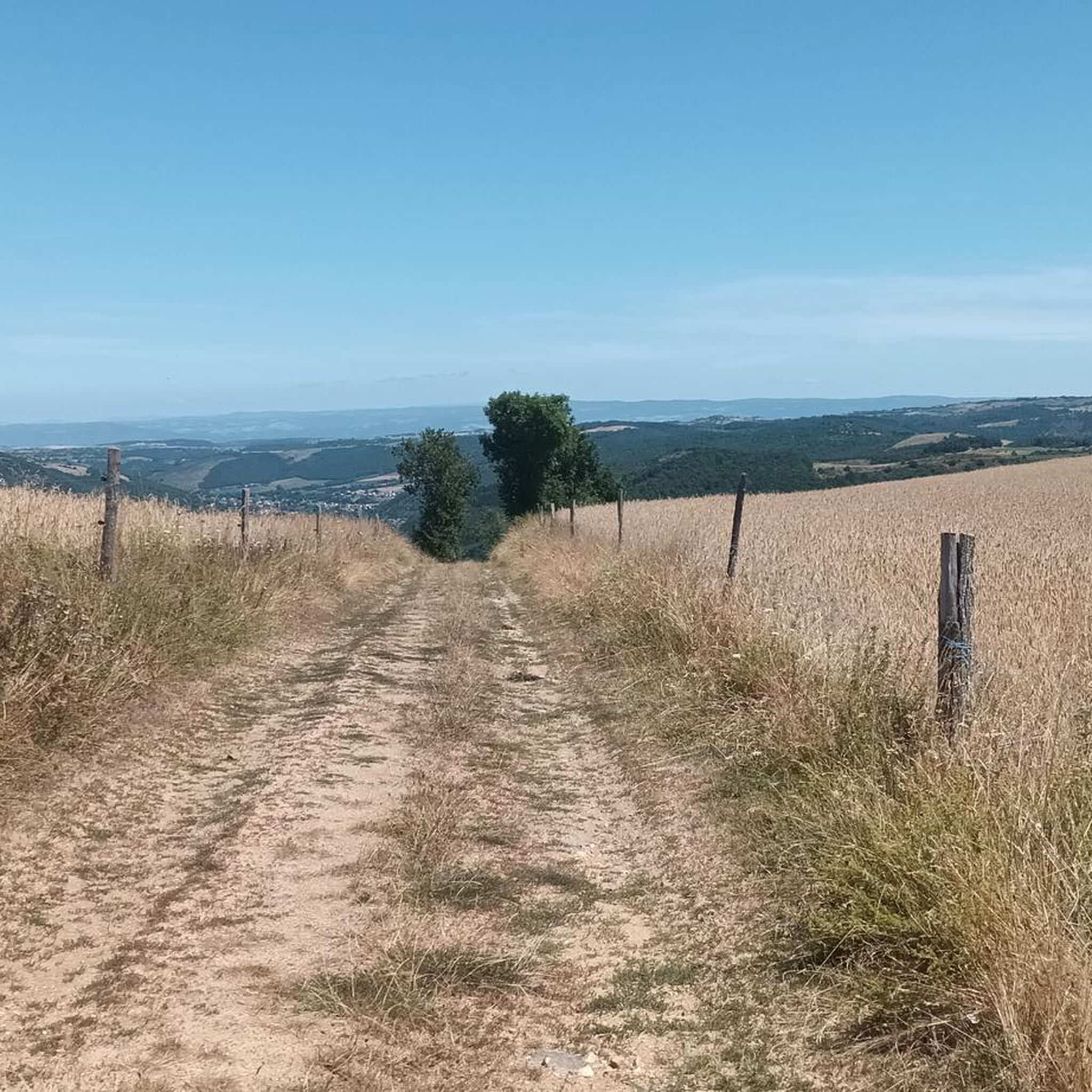
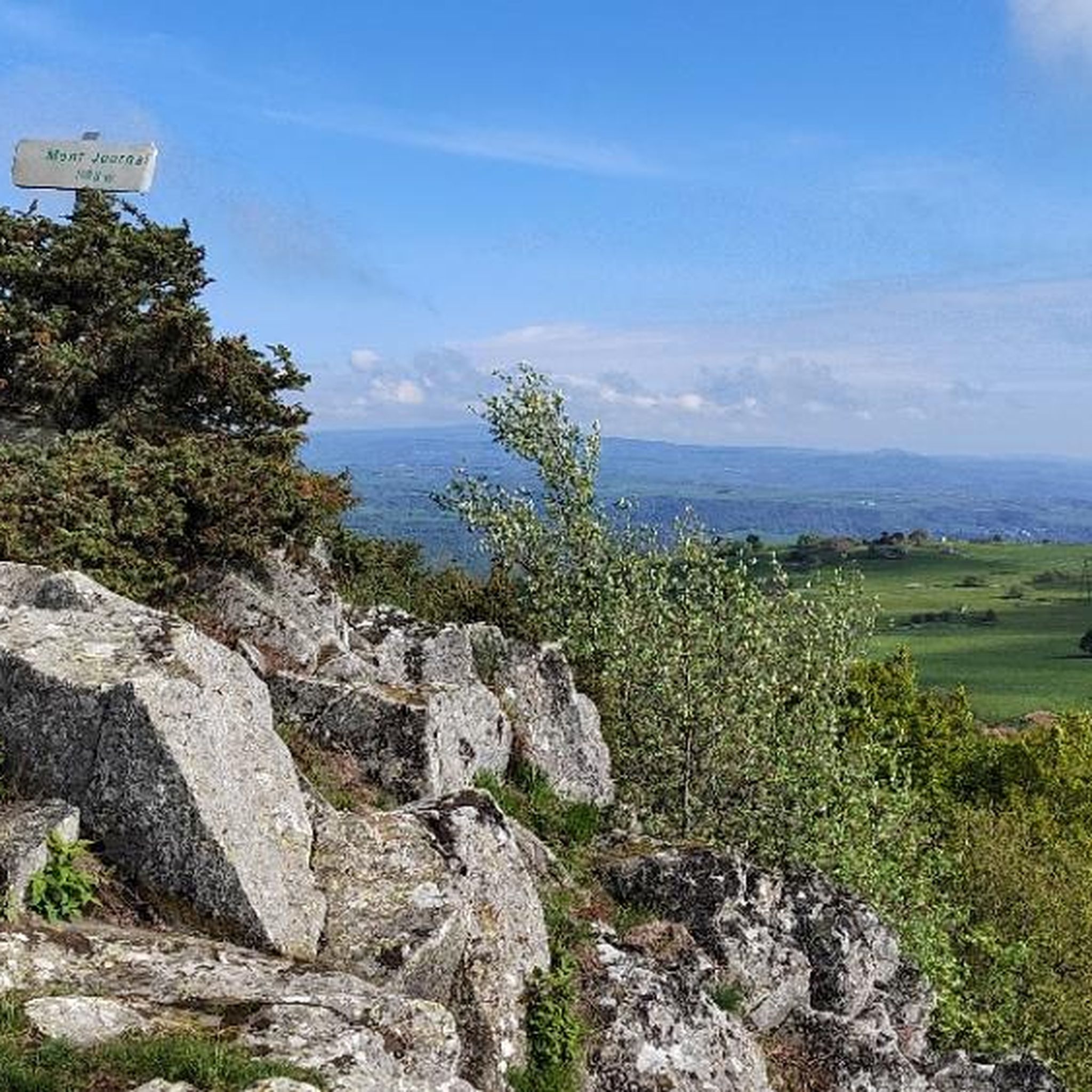

Tips from the Community

a lighter pass in between. lies on the watershed between the drainage basins of the Loire and Dordogne rivers
0
0

Many restaurants, bars and shopping opportunities. Fridays a quite large market
0
0

It is unpleasant to ride a bike over this bridge.
0
0


Great walk, without too many difficulties.
0
0

A charming village boasting beautiful architecture and remarkable buildings. Some establishments offer a relaxing and pleasing setting for a refreshing drink on a terrace during an outing. The Allier River, which gives its name to the village, is a must-see.
1
0
Magnificent town in Haute-Loire with a picturesque historic town center.
0
0

A beautiful, partly shady climb from Claux to the pass. Then the real challenge begins at Puy Mary.
0
0
Frequently Asked Questions
How many road cycling routes are available around Saint-Mary-Le-Plain?
There are over 60 road cycling routes in the Saint-Mary-Le-Plain area, offering a wide range of options for different skill levels. These routes traverse the Cantalien countryside, characterized by its volcanic origins and varied altitudes.
What are the typical difficulty levels for road cycling routes in this region?
The routes around Saint-Mary-Le-Plain cater to various abilities. You'll find 3 easy routes, 39 moderate routes, and 24 difficult routes. The volcanic terrain often means engaging ascents and descents, providing a good challenge for experienced cyclists, while easier options offer gentler rides through the countryside.
What kind of scenery and landmarks can I expect to see while road cycling here?
The region offers a blend of natural and architectural beauty. You can expect views of the Arcueil river, traditional stone structures, and the volcanic landscapes of the Cantal. Notable landmarks include the historic Col de la Fageole, and the impressive Garabit Viaduct on some routes. The area is also home to the Church of Saint-Mary and the ancient Tour d'Anval.
Are there any challenging climbs or mountain passes for experienced road cyclists?
Yes, the volcanic nature of the Cantal department means there are significant climbs. Routes like the Col de Vestizoux (1317 m) – Chamaroux Pass loop from Molompize feature substantial elevation gains, making them ideal for cyclists seeking a demanding experience. The broader Cantal region, including areas like Puy Mary, is known for its high-altitude cycling paths and challenging passes.
What is the best time of year for road cycling around Saint-Mary-Le-Plain?
The best time for road cycling in the Cantal region, including Saint-Mary-Le-Plain, is typically from spring through autumn. During these months, the weather is generally more favorable, and the natural landscapes are at their most vibrant. Summer offers warmer temperatures, while spring and autumn provide cooler rides and beautiful seasonal colors.
Are there any family-friendly road cycling options in the area?
While many routes feature varied terrain and climbs, there are easier options available. Look for routes categorized as 'easy' in the guide, which will generally have less elevation gain and shorter distances, making them more suitable for families or those new to road cycling. The quiet countryside roads can offer a pleasant experience for all.
What do other road cyclists say about the routes in Saint-Mary-Le-Plain?
The road cycling routes around Saint-Mary-Le-Plain are highly regarded by the komoot community, with an average rating of 4.8 stars from over 20 reviews. Cyclists often praise the diverse volcanic landscapes, the challenging climbs, and the scenic views offered by the Cantalien countryside.
Can I find circular road cycling routes starting from Saint-Mary-Le-Plain?
Yes, many of the routes in the area are designed as loops, allowing you to start and finish in the same location. For example, the Col de la Fageole loop from Saint-Mary-le-Plain is a popular circular option that takes you through varied Cantalien scenery.
Are there places to stop for refreshments or accommodation along the routes?
While Saint-Mary-Le-Plain is a discreet village, the broader Cantal region has various towns and hamlets where you can find cafes, pubs, and accommodation. It's advisable to check the route details and plan your stops in advance, especially on longer rides, to ensure you have access to amenities.
What are some of the less crowded road cycling trails in the region?
The Cantalien countryside, particularly around Saint-Mary-Le-Plain, is known for its tranquil and less-trafficked roads compared to more popular tourist destinations. Exploring routes that venture deeper into the Parc Naturel Régional des Volcans d'Auvergne often provides a peaceful cycling experience away from crowds.
Is there public transport available to reach Saint-Mary-Le-Plain for cyclists?
Public transport options directly to Saint-Mary-Le-Plain may be limited due to its rural location. It is part of the Cantal department, which has some regional bus services, but these might not always accommodate bicycles. Driving to the area and parking is often the most convenient option for cyclists. For detailed information on regional transport, it's best to consult local Cantal transport authorities.
Where can I park my car when starting a road cycling route in Saint-Mary-Le-Plain?
In Saint-Mary-Le-Plain, you can typically find parking in the village center, often near the Church of Saint-Mary. As a small village, parking facilities are usually informal but generally available. Always ensure you park responsibly and do not obstruct local access or private property.
Most popular attractions around Saint-Mary-Le-Plain

Get inspired with the komoot mobile app


Explore more
Browse the best Road cycling routes in other regions.
