The best walks and hikes around Saint-Mary-Le-Plain
4.5
(28)
156
hikers
19
hikes
Hiking around Saint-Mary-Le-Plain offers exploration of diverse volcanic landscapes and rich natural features within the Cantal department of France. The region is characterized by its position within the Massif Central, featuring varied terrain from 640m to 1021m in altitude. Hikers can discover unique geological formations, including those shaped by the Arcueil river, and experience the proximity to the Cantal Volcano. This area provides a network of trails through mountains, high plateaus, and valleys.
Best hiking trails around Saint-Mary-Le-Plain
- The most…
Last updated: June 25, 2026
4.1
(8)
37
hikers
12.1km
03:33
330m
330m
Moderate hike. Good fitness required. Mostly accessible paths. Sure-footedness required.
4.7
(3)
15
hikers
13.9km
04:06
380m
380m
Moderate hike. Good fitness required. Easily-accessible paths. Suitable for all skill levels.

Sign up for free
5.0
(2)
10
hikers
6.27km
02:09
330m
330m
Moderate hike. Good fitness required. Easily-accessible paths. Suitable for all skill levels.
3.5
(2)
12
hikers
3.38km
00:57
70m
70m
Easy hike. Great for any fitness level. Easily-accessible paths. Suitable for all skill levels.
8
hikers
5.81km
01:54
260m
260m
Easy hike. Great for any fitness level. Easily-accessible paths. Suitable for all skill levels.
Get access to more routes and recommendations from other explorers.
Sign up for free
Already have an account?
Our route recommendations are based on thousands of hikes, rides, and runs completed by other people on komoot.
Start today with a free account
Your next adventure awaits.
Login or Signup
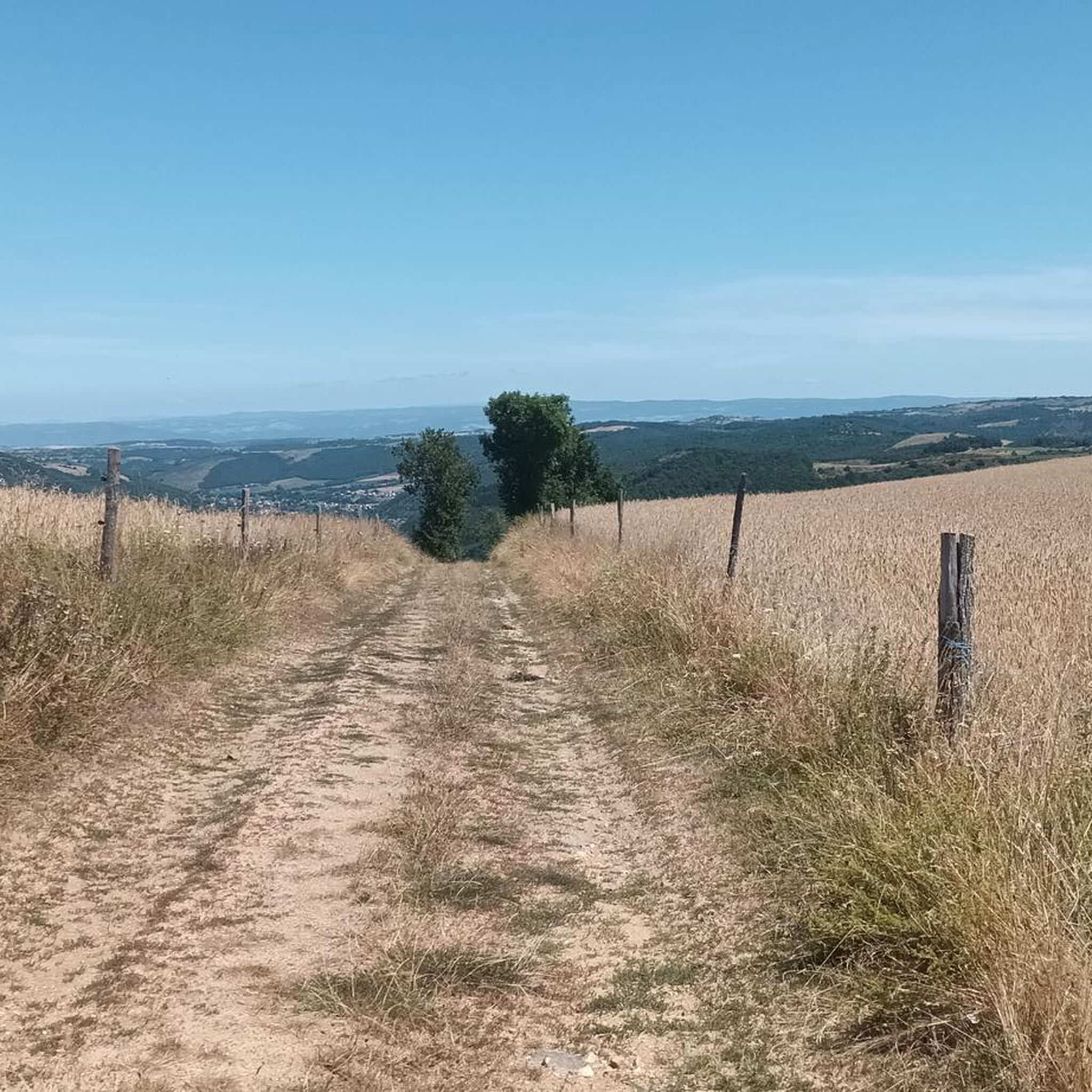
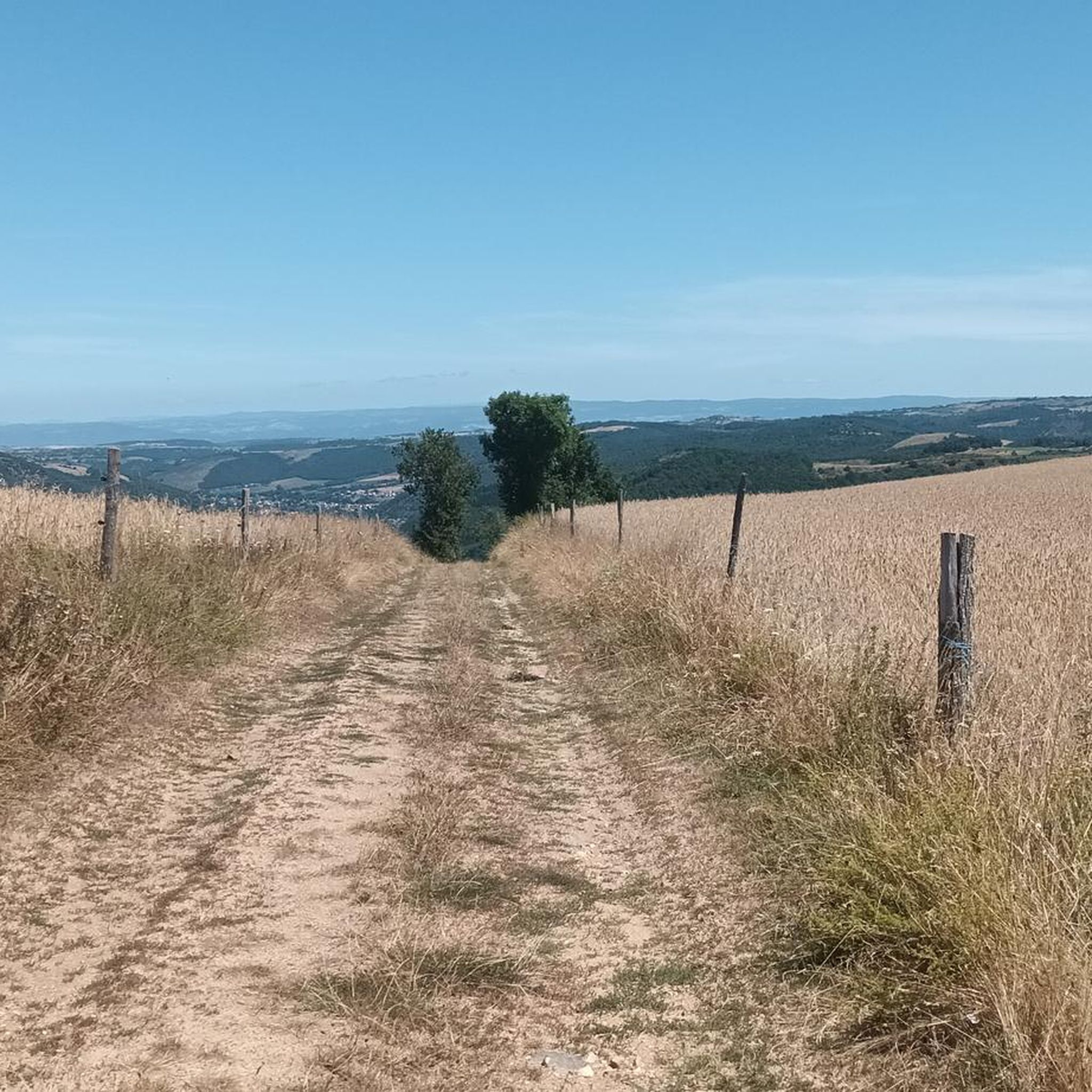
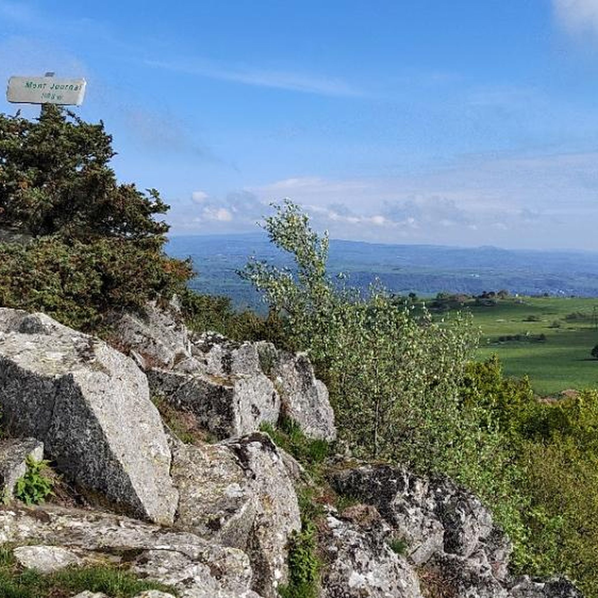

Tips from the Community


The riverside footpath is only recommended in dry weather. (Beware of lots of dog poop.)
1
0
The campsite 🏕️, starting point for interesting hikes.
1
0

The village of Massiac is part of the “Villages Etapes”, a network listing municipalities which offer passing visitors a multitude of shops and services in a pleasant setting. Bathed in an almost Mediterranean climate. The village is located in the heart of the Alagnon valley.
0
0

The Chapelle Sainte-Madeleine de Chalet has dominated Massiac on a rocky outcrop since the 12th century. The site is ideal for enjoying the view of the Allagnon valley.
1
0
Frequently Asked Questions
How many hiking trails are available around Saint-Mary-Le-Plain?
There are over 15 hiking trails around Saint-Mary-Le-Plain, offering a variety of experiences from easy strolls to more challenging routes. The komoot community has documented 17 tours in total, with 7 easy and 10 moderate options.
What types of landscapes can I expect to see while hiking in Saint-Mary-Le-Plain?
Hiking in Saint-Mary-Le-Plain offers diverse volcanic landscapes, as the area is part of the Massif Central and close to the Cantal Volcano. You'll encounter varied terrain, from high plateaus to valleys, and unique geological formations carved by the Arcueil river, including 'marmitage' or giant's kettles. The region also features significant natural landmarks like the Chêne Sully and panoramic views from areas near Puy Mary.
Are there any easy or beginner-friendly hikes in Saint-Mary-Le-Plain?
Yes, Saint-Mary-Le-Plain offers several easy hiking options suitable for beginners. For example, the Bridge – Campsite loop from Valjouze is an easy route covering about 3.4 km. Another accessible option is the Château d'Aurouze loop from Molompize, which is around 5.8 km and also rated easy.
Are there any circular hiking routes in Saint-Mary-Le-Plain?
Yes, many of the trails around Saint-Mary-Le-Plain are circular, allowing you to start and end at the same point. Popular loop trails include the Château d'Aurouze loop from Massiac - Blesle, which offers views of the Arcueil river, and the Église loop from Ferrières, a moderate 6.4 km trail.
Are there family-friendly hiking options in Saint-Mary-Le-Plain?
The region provides several routes suitable for families, particularly the easier trails. The varied terrain and natural features like the Arcueil river can make for engaging walks for children. Look for routes rated as 'easy' in the komoot guide, such as the Bridge – Campsite loop from Valjouze, which is shorter and has less elevation gain.
What historical or natural landmarks can I explore while hiking?
While hiking, you can discover several interesting landmarks. The Chapelle Sainte Madeleine is a historic chapel often passed on trails. You can also explore the imposing Tour d'Anval, which overlooks the Arcueil river, and seek out the remarkable Chêne Sully, an ancient oak tree. The region's volcanic past also means unique geological formations like the Gorges of the Sianne.
Can I bring my dog on the hiking trails in Saint-Mary-Le-Plain?
Generally, dogs are welcome on many hiking trails in the region, especially if kept on a leash. However, specific rules can vary, particularly in protected natural areas or near livestock. It's always advisable to check local signage or specific trail regulations before heading out with your dog.
What makes the hiking in Saint-Mary-Le-Plain unique?
The hiking in Saint-Mary-Le-Plain is unique due to its distinct volcanic character, being part of the Massif Central and near Europe's largest stratovolcano, the Cantal Volcano. This geological history creates dramatic landscapes, from high peaks like Puy Mary to the unique 'marmitage' formations along the Arcueil river. The blend of natural beauty, historical elements, and well-marked trails offers a truly immersive outdoor experience.
What do other hikers enjoy the most about hiking in Saint-Mary-Le-Plain?
The trails in Saint-Mary-Le-Plain are highly rated by the komoot community, with an average score of 4.5 stars from over 20 reviews. Hikers often praise the diverse volcanic landscapes, the panoramic views, and the opportunity to explore both natural wonders and historical sites. The well-maintained footpaths and varied terrain for different ability levels are also frequently highlighted.
Is parking available at the trailheads in Saint-Mary-Le-Plain?
While specific parking details for every trailhead are not always listed, many popular starting points for hikes in the Saint-Mary-Le-Plain area, especially those near villages like Massiac or Molompize, typically offer designated parking areas. For routes leading to major attractions like Puy Mary, there are often established parking facilities at access points such as the Col du Pas de Peyrol.
Are there any hikes that feature unique natural formations like rivers or gorges?
Yes, the region is known for its natural water features. The Arcueil river is a significant natural treasure, with sections exhibiting 'marmitage' or giant's kettles formed by vortex erosion. You can also explore the scenic Gorges of the Sianne, which offer dramatic landscapes carved by water.
Most popular routes around Saint-Mary-Le-Plain
Most popular attractions around Saint-Mary-Le-Plain

Get inspired with the komoot mobile app


Explore more
Browse the best Hikes in other regions.
