The best running trails around Groslée-Saint-Benoît
4.5
(64)
1,533
runners
14
runs
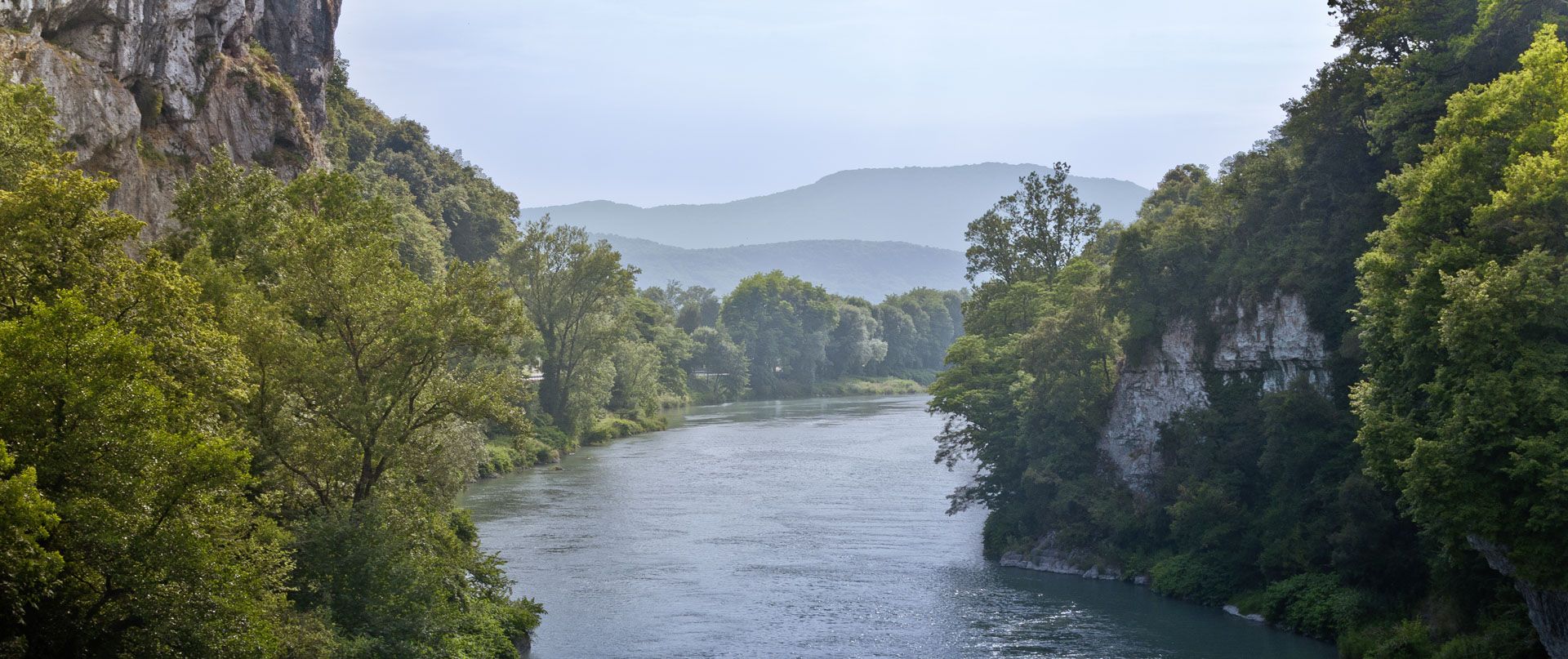
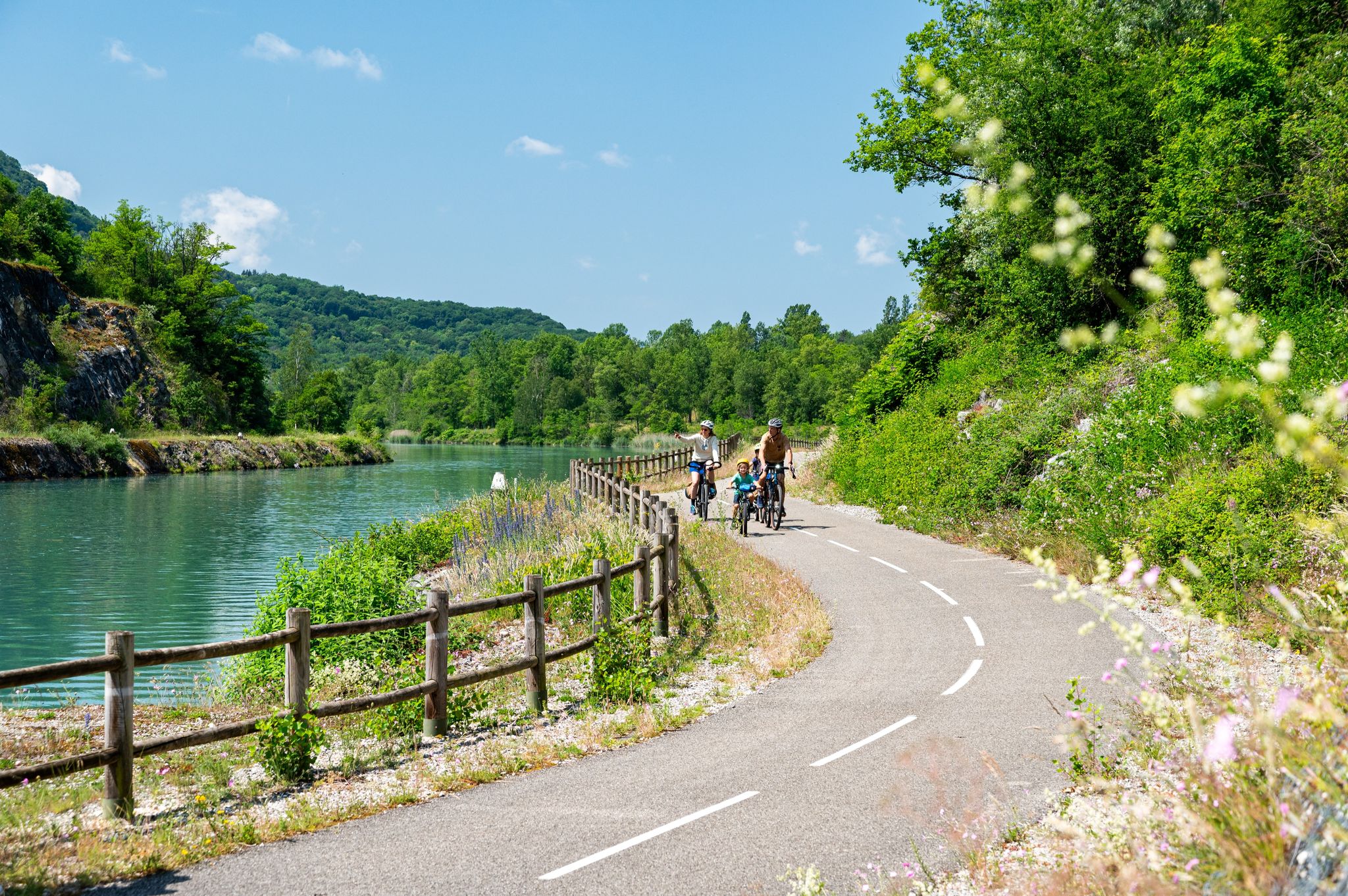
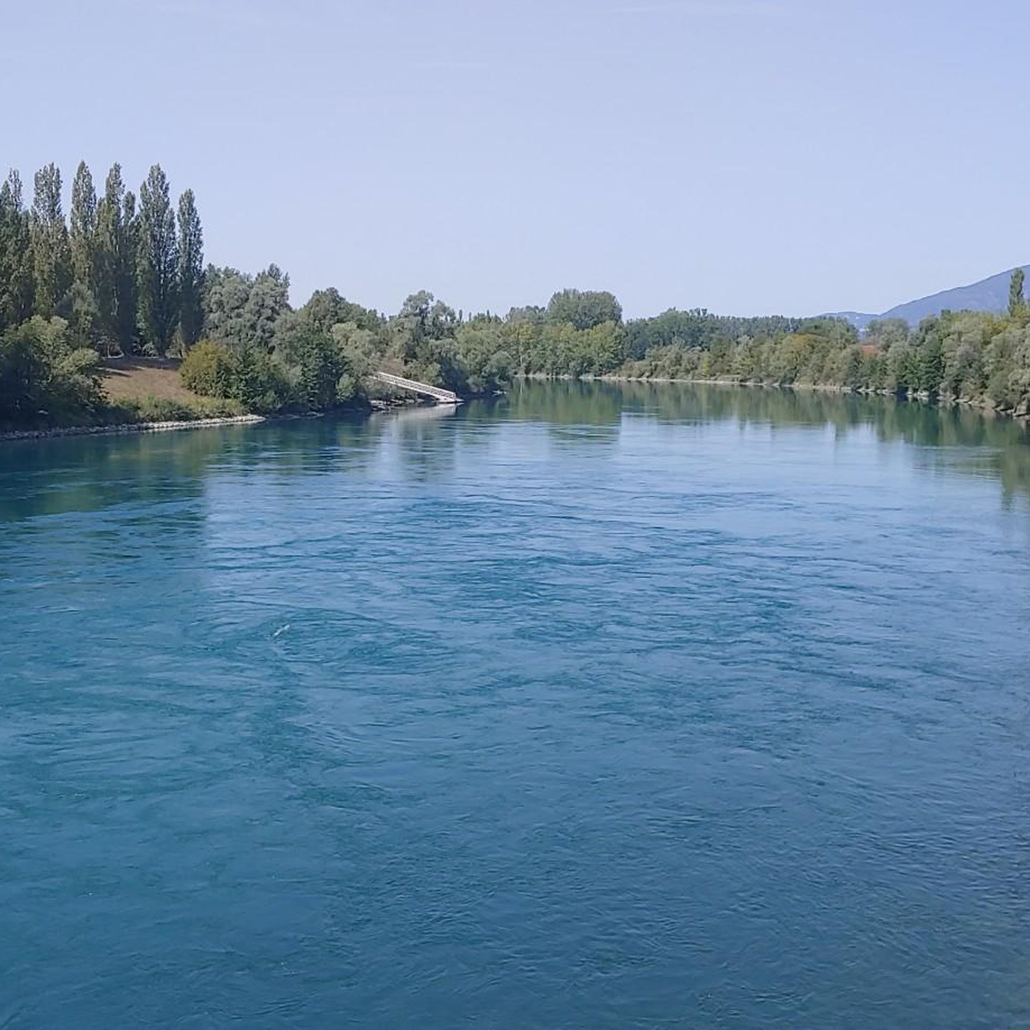
Jogging around Groslée-Saint-Benoît offers diverse landscapes for runners, characterized by the Rhône River and its banks, the varied terrain of the Bugey region, and extensive forests. The area features both flat, scenic paths along waterways and more challenging routes through hills and countryside. Natural attractions like the Cascade de Glandieu provide picturesque backdrops for running, while wetlands and meanders offer unique natural settings.
Best jogging routes around Groslée-Saint-Benoît
- The most popular jogging route is Gippet Amandine loop from Certelle-Sud,…
Last updated: June 28, 2026
5.0
(2)
15
runners
14.0km
01:31
30m
40m
Moderate run. Good fitness required. Mostly paved surfaces. Suitable for all skill levels.
18
runners
12.8km
01:35
520m
520m
Hard run. Very good fitness required. Mostly paved surfaces. Suitable for all skill levels.

Sign up for free
5.0
(1)
20
runners
13.7km
01:26
50m
50m
Moderate run. Good fitness required. Mostly paved surfaces. Suitable for all skill levels.
3.0
(1)
18
runners
6.95km
00:43
10m
10m
Moderate run. Good fitness required. Mostly paved surfaces. Suitable for all skill levels.
4.0
(1)
18
runners
22.6km
02:53
770m
770m
Hard run. Very good fitness required. Sure-footedness, sturdy shoes and alpine experience required.
Get access to more routes and recommendations from other explorers.
Sign up for free
Already have an account?
Our route recommendations are based on thousands of hikes, rides, and runs completed by other people on komoot.
Start today with a free account
Your next adventure awaits.
Login or Signup
Popular around Groslée-Saint-Benoît



Tips from the Community

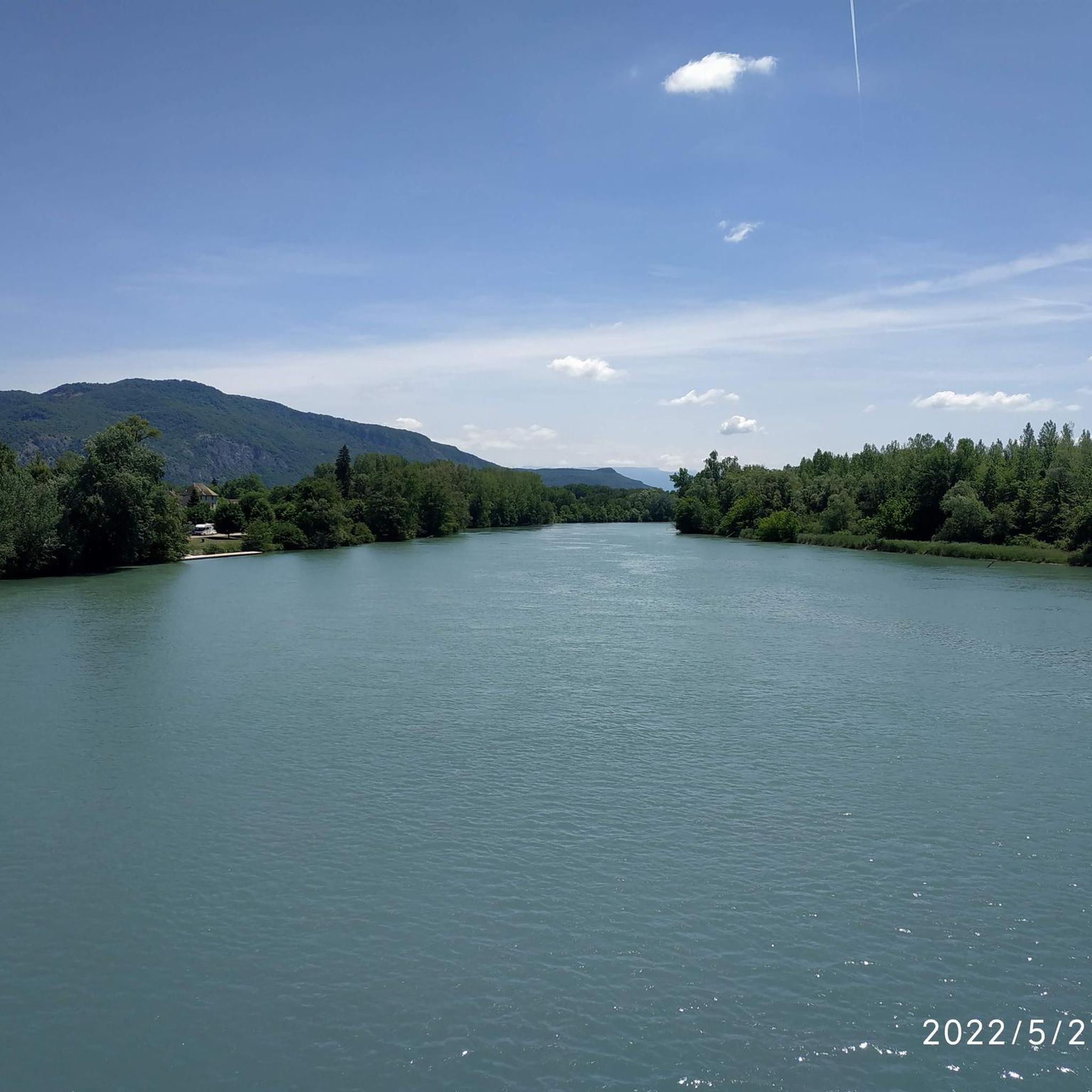
Beautiful view of the Rhône and the Jura mountains
0
0

The Groslée bridge is a suspension bridge crossing the Rhône between the municipalities of Groslée-Saint-Benoit (Ain) and Brangues (Isère). Designed by Ferdinand Arnodin and completed in 1912, it has a main span of 177.21 m in length. Source: Wikipedia
0
0


Shady lawn, picnic areas and rubbish bins (on the side that does not face the Rhone). toilets nearby
0
0

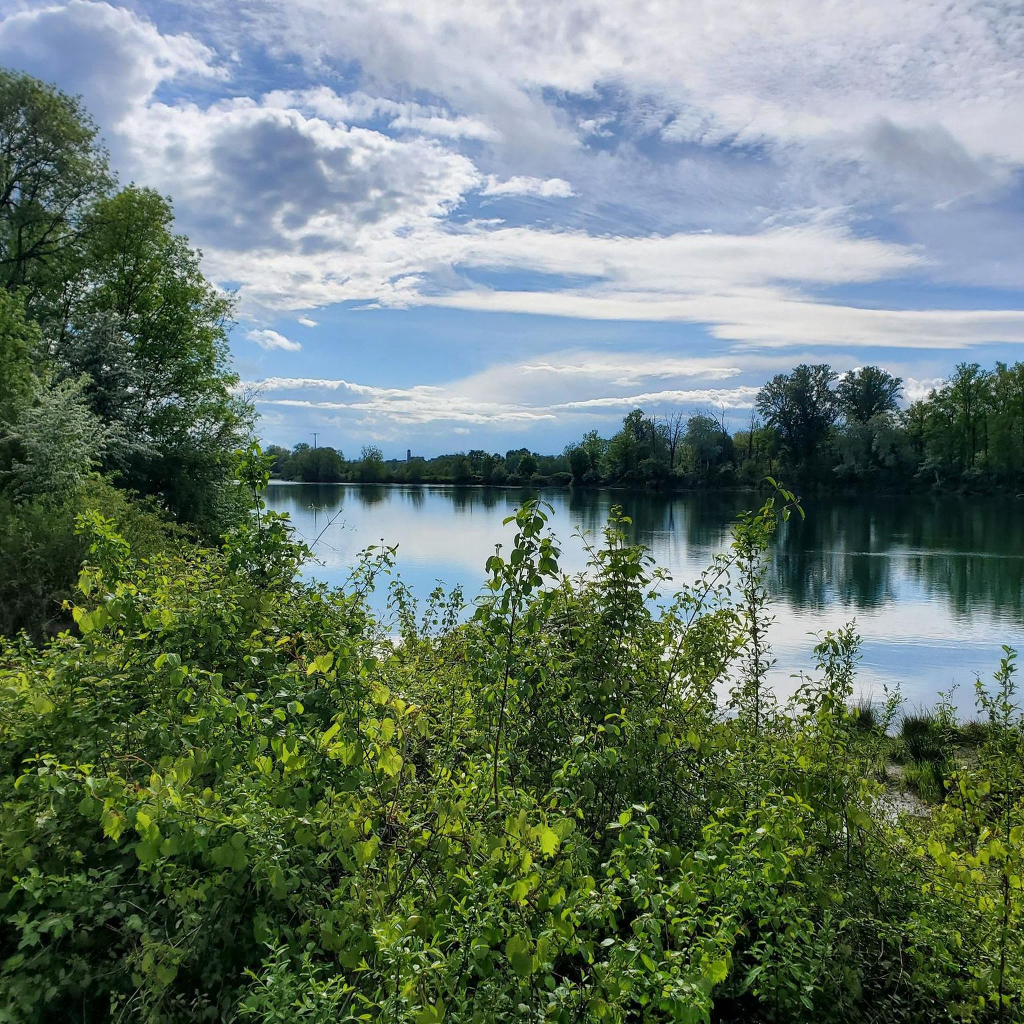
A beautiful part of the Via Rhôna which crosses the National Nature Reserve of the French Haut-Rhône.
2
0

Beautiful bridge over the Rhone at Groslee. There is also a restaurant where you can linger.
1
0


Frequently Asked Questions
How many running routes are available in Groslée-Saint-Benoît?
Groslée-Saint-Benoît offers a good selection of running routes, with around 14 trails documented on komoot. These routes cater to various preferences, from moderate riverside jogs to more challenging mountain runs.
What kind of terrain can I expect on the jogging trails in Groslée-Saint-Benoît?
The terrain for jogging in Groslée-Saint-Benoît is quite varied. You'll find flat, scenic paths along the Rhône River, including sections of the ViaRhôna cycle path. Other routes traverse the varied landscape of the Bugey region, featuring hills, forests, and some significant elevation gains, especially on trails leading to viewpoints.
Are there any running routes with waterfalls or scenic viewpoints?
Yes, the region boasts several picturesque spots. The spectacular Cascade de Glandieu is a major natural attraction, and while swimming is prohibited, paths lead near the falls, offering an idyllic backdrop for a run. You can also find routes that incorporate the Brive Waterfall or the Glandieu Waterfall. For stunning panoramic views, consider routes that pass by Belvédère Saint-Joseph, offering vistas of the Rhône, the Alps, and Mont Blanc.
What are some good options for moderate-difficulty running routes?
For a moderate run, you might enjoy the Gippet Amandine loop from Certelle-Sud, which is about 11.7 km and largely flat. Another popular choice is the Gippet Amandine – Pont de Groslée loop from Groslée, a 14 km path that often follows the Rhône River through the countryside.
Are there any challenging running routes with significant elevation gain?
Absolutely. If you're looking for a challenge, the Belvédère Saint-Joseph loop from Groslée-Saint-Benoit is a difficult 12.8 km trail with over 500 meters of elevation gain, rewarding you with incredible views. For an even longer and more demanding run, the Lac de Conzieu 1 – Belvédère Saint-Joseph loop from Groslée-Saint-Benoit covers nearly 27 km with almost 900 meters of ascent.
What do other runners say about the trails in Groslée-Saint-Benoît?
The running routes in Groslée-Saint-Benoît are highly regarded by the komoot community, holding an average rating of 4.6 stars from over 60 reviews. Runners frequently praise the diverse landscapes, from the peaceful riverside paths to the rewarding climbs in the Bugey region, and the overall natural beauty of the area.
Are there any shorter, easier running loops available?
Yes, for a shorter and more accessible run, you can try the Gippet Amandine loop from Groslée. This moderate route is approximately 6.9 km long with minimal elevation, making it suitable for a quicker jog or those looking for a less strenuous option.
Can I find circular running routes in the area?
Many of the popular running routes in Groslée-Saint-Benoît are designed as circular loops, allowing you to start and finish at the same point. Examples include the Gippet Amandine loop from Certelle-Sud and the Belvédère Saint-Joseph loop from Groslée-Saint-Benoit, offering convenient options for your run.
Are there any historical or cultural sights along the running paths?
While the primary focus is on natural beauty, some routes may pass near historical elements. The region is part of the Bugey, known for its traditional villages. You might encounter sights like the ruins of the 13th-century Château des Marches or the Château de Neyrieu in Saint-Benoît, adding a cultural dimension to your run. The Tour de Groslée, for instance, starts from the church square and offers views of the countryside.
What is the best time of year to go jogging in Groslée-Saint-Benoît?
Groslée-Saint-Benoît offers pleasant jogging conditions throughout much of the year. Spring and autumn provide mild temperatures and beautiful scenery, with changing foliage or blooming wildflowers. Summer can be warm, so early morning or late afternoon runs are ideal. Even in winter, many paths remain accessible, offering a different, serene experience, especially along the Rhône.
Are there any specific areas known for their natural beauty or biodiversity that I can explore while running?
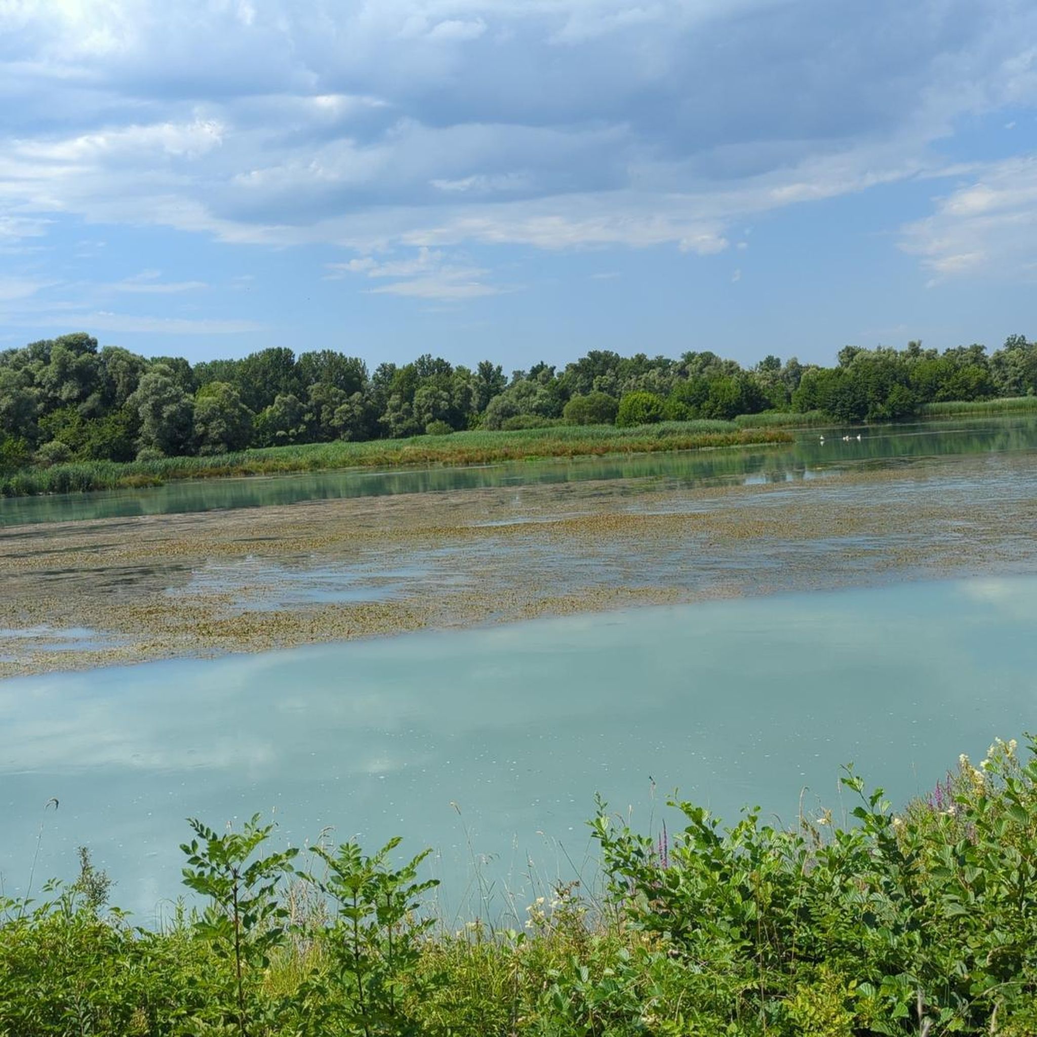
Yes, the area is rich in natural features. The Rhône River banks are a significant draw, offering preserved natural areas. The former Saugey meander, located in the Haut-Rhône National Nature Reserve, provides an educational trail through wetlands rich in biodiversity, showcasing how the Rhône shaped the landscape. This area offers a unique natural setting for runs that combine nature and discovery.
Where can I find more information about the Cascade de Glandieu?
The Cascade de Glandieu is a classified 'Sensitive Natural Area' and a truly impressive sight. You can find more details about this 60-meter waterfall and its surroundings on the local tourism websites. For additional information, you can visit ain-tourisme.com or cascadesdefrance.fr.
Most popular routes around Groslée-Saint-Benoît
Most popular attractions around Groslée-Saint-Benoît

Get inspired with the komoot mobile app


Explore more
Browse the best Running Trails & Routes in other regions.
