The best running trails around Forstmühler Fost
4.5
(386)
7,135
runners
444
runs
Jogging routes around Forstmühler Fost traverse a diverse landscape characterized by extensive trail networks and varied terrain. The region features dense woodlands, rolling hills, and natural surfaces, providing a stimulating environment for runners. Many routes follow alongside water features, offering scenic views and tranquil paths. This area combines well-maintained trails with engaging natural scenery, suitable for different ability levels.
Best jogging routes around Forstmühler Fost
- The most popular jogging route is Unterlichtenwald – View of Hammermühle loop from Sulzbach an…
Last updated: June 27, 2026
5.0
(2)
43
runners
17.8km
02:02
320m
320m
Hard run. Very good fitness required. Sure-footedness, sturdy shoes and alpine experience required.
5.0
(1)
9
runners
13.1km
01:27
280m
280m
Moderate run. Good fitness required. Mostly paved surfaces. Suitable for all skill levels.

Sign up for free
8
runners
Hard run. Good fitness required. Sure-footedness, sturdy shoes and alpine experience required.
4
runners
13.2km
01:26
250m
250m
Moderate run. Good fitness required. Mostly paved surfaces. Suitable for all skill levels.
6
runners
7.66km
00:51
110m
110m
Moderate run. Good fitness required. Mostly paved surfaces. Suitable for all skill levels.
Get access to more routes and recommendations from other explorers.
Sign up for free
Already have an account?
Our route recommendations are based on thousands of hikes, rides, and runs completed by other people on komoot.
Start today with a free account
Your next adventure awaits.
Login or Signup
Tips from the Community

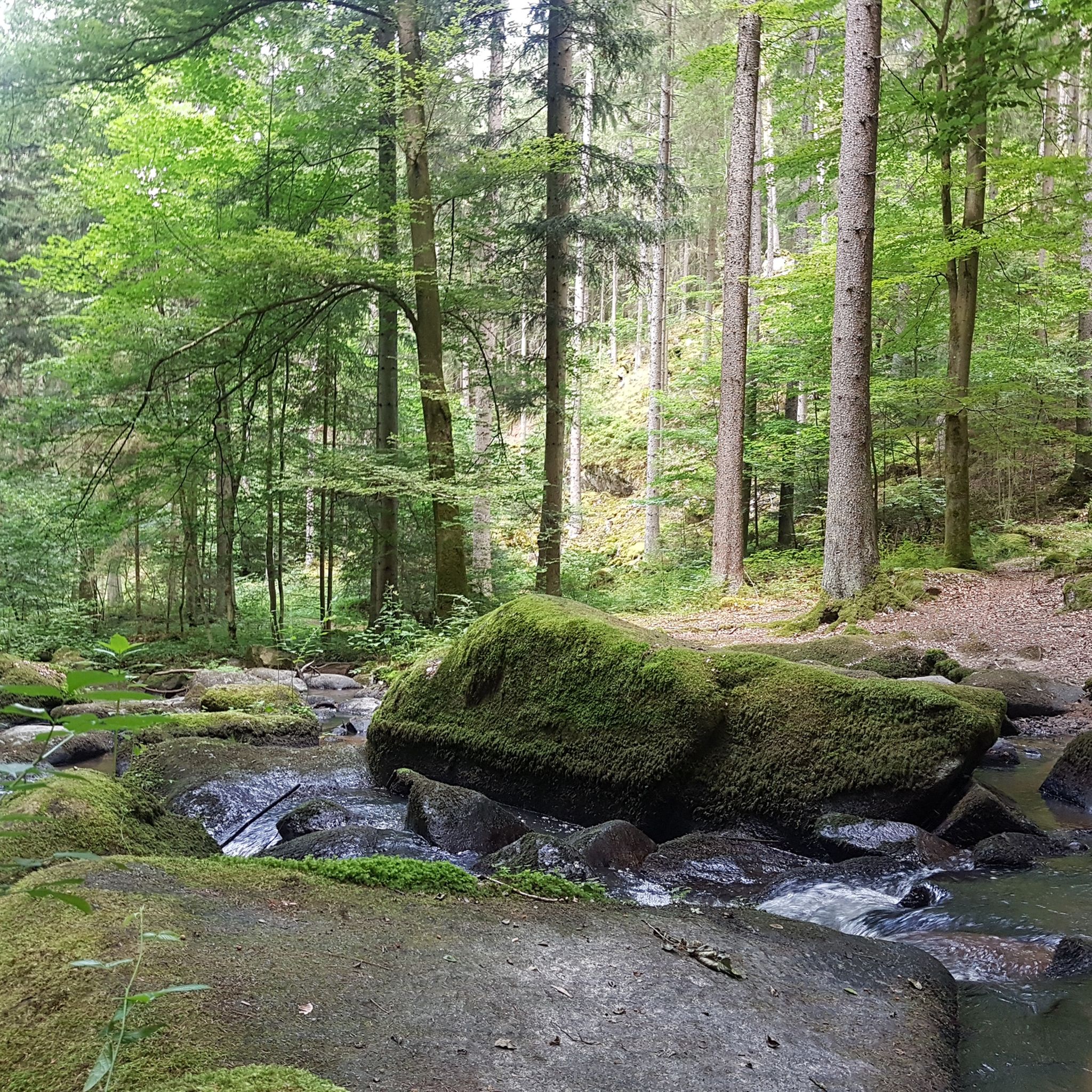
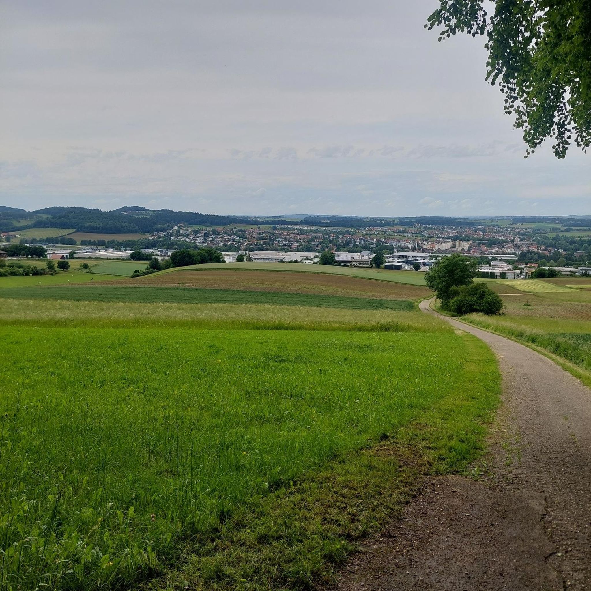
From above you have a great view of the Otterbach stream and the rock formations below.
1
0

The Otterbach The Otterbach originates in the church village of Süssenbach, in the municipality of Wald in the Chams district, at approximately 477 m above sea level, through the confluence of the Weismühlbach and Steinbach streams. From there, it flows steadily southwestward, initially also called the Süssenbach, in loops that are particularly wide at the beginning. After passing through about a dozen smaller villages in Wald, it crosses the border into the Regensburg district and enters the municipality of Altenthann, passing through the village of Forstmühle there, and then flows northwest past the large, unincorporated forest area of the Forstmühle Forest. It passes successively the Altenthann hamlet of Bruckhäusl on the left bank, its church village of Heuweg on the right bank and on the heights above the valley, the village of Oberlichtenwald, which is located on the same bank as the stream, and the village of Unterlichtenwald on the right bank of the estuary in the wide floodplain. There, the most important tributary, the Sulzbach, flows along the other side of the village. Its upper reaches, together with its own course, even exceed the length of the Otterbach main branch up to this point, but contribute about a quarter less to the catchment area. From there, the St. 2145 state road uses the valley. The valley now narrows again between steep forest slopes, and the Otterbach enters the territory of Markt Donaustauf, where it successively passes the isolated villages of Neumühle and Klammer on its banks. The valley then widens into a large field bay, where it flows between the hamlets of Hammermühle and Dachsberg. Before Scheuchenberg, the stream, which ultimately flows almost southward, deviates to the right and southwest, crosses the church village of Sulzbach an der Donau, flows under the St. 2125 state road, which follows the stream, and flows into the Danube on the left after 17 kilometers. A popular hiking trail runs along the stream between Forstmühle and Hammermühle. Source: Excerpts from www.wikipedia.de
2
0

It's really worth stopping by at Koreawirt 👍
0
0

Beautiful round of Donaustauf. Could be shortened.
1
0
The view is worth a break or detour
3
0

Very good traditional Bavarian cuisine! Reservations recommended! ⭐️😀🍀
5
0
Memorial stone for Franz Josef Strauss In the Princely Thiergarten, the CSU Regensburg-Land district association had a memorial stele erected on the initiative of Chairman MP Peter Aumer to mark the 30th anniversary of Franz Josef Strauss' death. The stele commemorates the place where the Prime Minister of Bavaria collapsed unconscious after a heart attack and died shortly afterwards. On Saturday, October 6th, 2018, Monika Hohlmeier, the daughter of Franz Josef Strauss, unveiled this monument. Princess Gloria von Thurn und Taxis and Minister of State Albert Füracker were also present. The life motto of Franz Josef Strauss is engraved into the granite stele, which weighs 900 kilograms: “Gratefully backwards, courageously forwards, faithfully upwards.”
2
0

Great location beer garden next to the Sulzbach.
5
0
Frequently Asked Questions
How many running routes are available in Forestmühler Fost?
Forestmühler Fost offers an extensive network of over 450 running routes. This includes a wide variety of trails, from easy paths to more challenging inclines, ensuring options for all ability levels.
What do other runners say about the trails in Forestmühler Fost?
The running routes in Forestmühler Fost are highly rated by the komoot community, with an average score of 4.5 stars from over 350 reviews. More than 7,000 runners have explored the varied terrain, often praising the diverse landscapes, well-maintained trails, and scenic natural features.
Are there easy running routes for beginners in Forestmühler Fost?
Yes, Forestmühler Fost features 46 easy running routes, perfect for beginners or those looking for a more relaxed jog. These paths often traverse relatively flat sections and offer a gentle introduction to the area's beautiful scenery.
What kind of terrain can I expect on the jogging trails in Forestmühler Fost?
You can expect a diverse range of terrain, from dense woodlands and pine plantations to open meadows. Many paths feature natural surfaces with roots, gravel, or unpaved sections, while some areas might include rolling hills for a more challenging workout. The region is known for its varied landscapes and extensive trail networks.
Are there challenging running trails for experienced runners in Forestmühler Fost?
Absolutely. Forestmühler Fost offers 75 difficult running routes, designed for experienced runners seeking a challenge. These trails often feature significant elevation gains and more rugged terrain, such as the demanding Unterlichtenwald – View of Hammermühle loop from Sulzbach an der Donau, which includes substantial climbs through forested areas.
Are there circular running routes in Forestmühler Fost?
Yes, many of the running routes in Forestmühler Fost are circular, allowing you to start and finish at the same point. For example, the popular Otterbach Valley – Otterbach Stream loop from Wanderparkplatz offers a scenic circular path through varied forest terrain.
Can I bring my dog on the running trails in Forestmühler Fost?
Generally, dogs are welcome on many trails in forested areas, but it's always best to check local signage for specific restrictions, especially regarding leash requirements or protected wildlife areas. The diverse and extensive trail networks in Forestmühler Fost provide ample space for you and your canine companion to enjoy a run together.
What natural features can I expect to see while jogging in Forestmühler Fost?
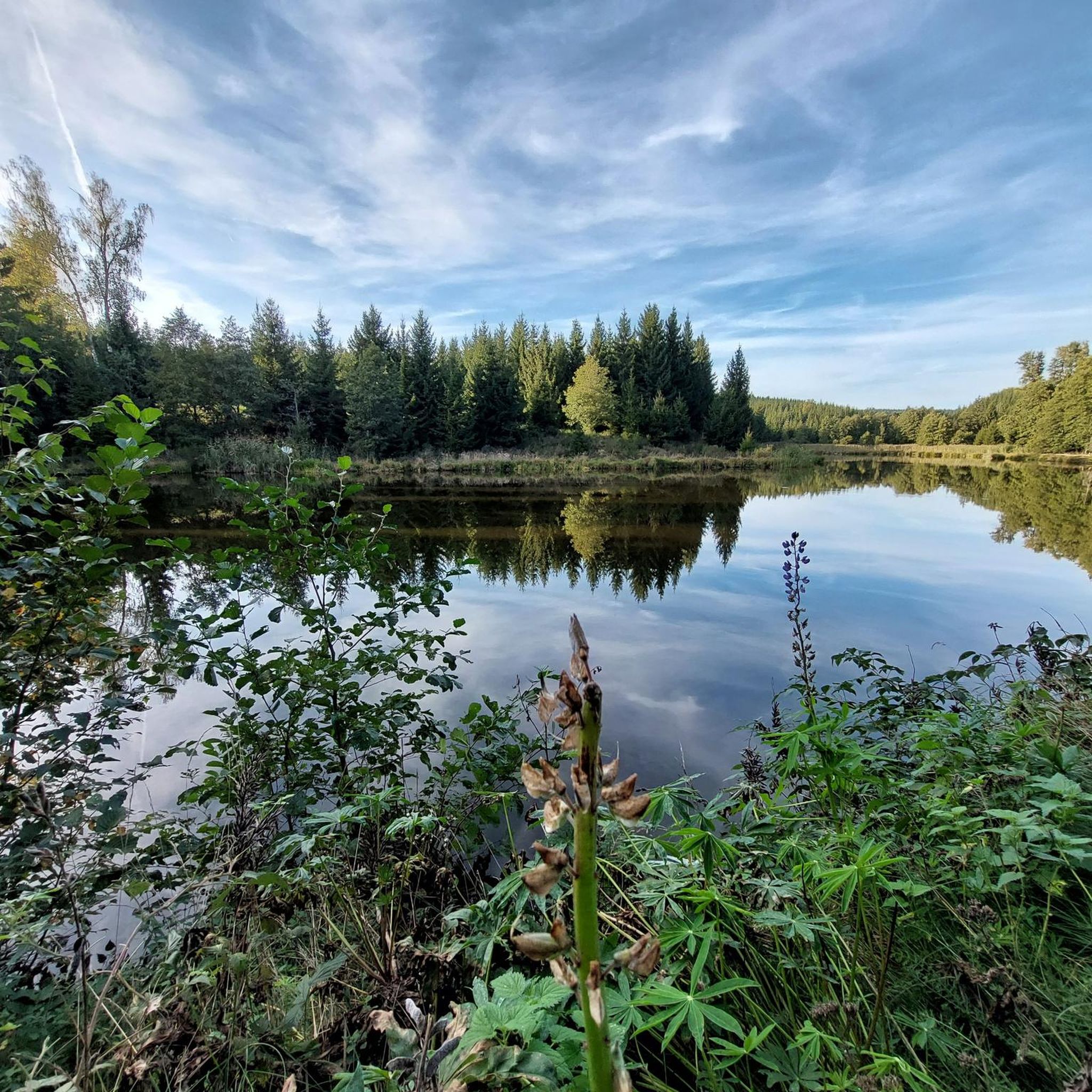
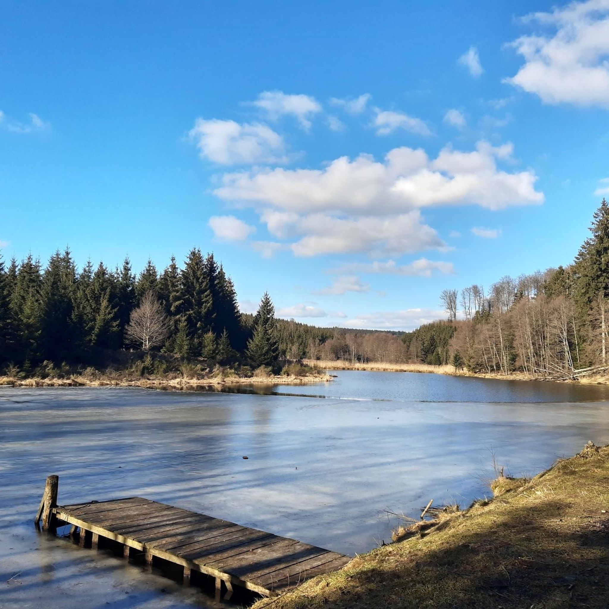
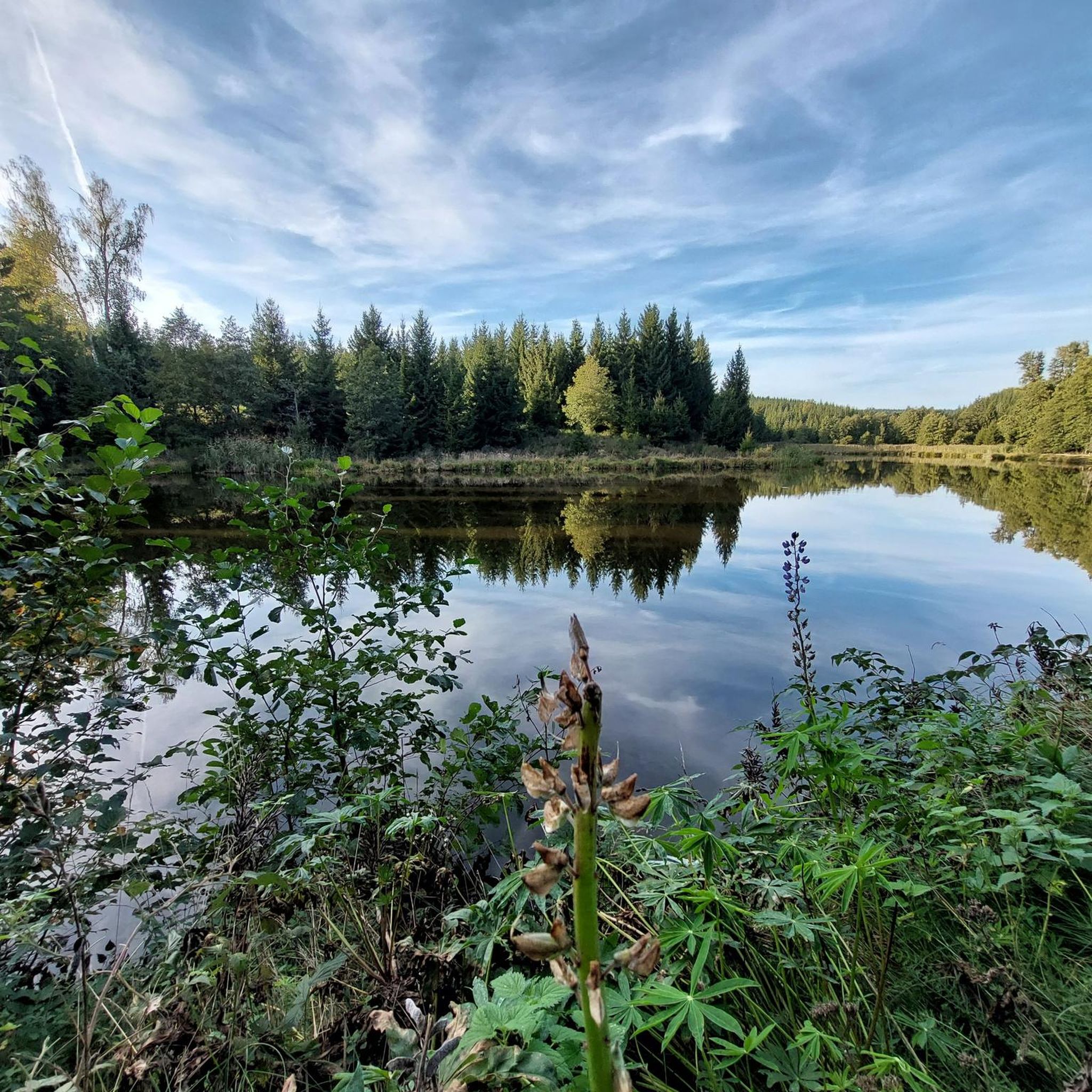
Forestmühler Fost is rich in natural beauty. You'll encounter dense woods, varied flora, and often run alongside tranquil water bodies like streams and rivers. The Otterbach Valley is a notable natural feature, offering scenic views and a peaceful running environment.
Are there any interesting landmarks or points of interest around Forstmühler Fost?
Yes, beyond the natural beauty, you might discover unique elements. The area includes highlights such as the Aschenbrennermarter and the Gate to Thurn & Taxis Forest, which add an interesting dimension to your run. The Franz Josef Strauß Memorial – Steep Path to Scheuchenberg loop from Wanderparkplatz also leads to a significant local point of interest.
Are the running routes in Forestmühler Fost suitable for families?
Many of the easy and moderate routes in Forestmühler Fost are suitable for families, offering pleasant paths through nature. With 46 easy routes available, you can find options that are less strenuous and enjoyable for all ages, allowing families to experience the outdoors together.
Where can I park when visiting the running trails in Forestmühler Fost?
Many trailheads in Forestmühler Fost, including those for routes like the Otterbach Valley – Otterbach Stream loop and the Franz Josef Strauß Memorial – Steep Path to Scheuchenberg loop, are accessible from designated 'Wanderparkplatz' (hiking car parks). These provide convenient starting points for your run.
What's the best time of year for running in Forestmühler Fost?
Forestmühler Fost offers a rewarding running experience throughout the year. Spring brings lush greenery, summer provides shaded trails, autumn showcases vibrant foliage, and winter offers a serene, crisp atmosphere. The varied landscapes ensure visual appeal in every season, though checking local weather conditions is always advisable.
Most popular routes around Forstmühler Fost
Most popular attractions around Forstmühler Fost

Get inspired with the komoot mobile app


Explore more
Browse the best Running Trails & Routes in other regions.
