The best traffic-free bike rides around Forstmühler Fost
4.6
(273)
4,578
riders
40
rides
No traffic road cycling routes around Forstmühler Forst are characterized by extensive forested landscapes and proximity to the Danube River. The region features predominantly paved surfaces, offering varied elevation profiles with some routes including ascents over 1,500 feet (450 meters). This combination of forest and river scenery provides a diverse backdrop for road cycling, with options ranging from gentle riverside paths to more challenging climbs.
Best no traffic road cycling routes around Forstmühler Fost
- The most popular no traffic road…
Last updated: July 12, 2026
16
riders
Easy road ride. Great for any fitness level. Mostly well-paved surfaces and easy to ride.
8
riders
Moderate road ride. Good fitness required. Mostly well-paved surfaces and easy to ride.

Sign up for free
4
riders
98.2km
04:03
550m
550m
Moderate road ride. Good fitness required. Mostly well-paved surfaces and easy to ride.
8
riders
61.0km
03:10
700m
700m
Moderate road ride. Good fitness required. Mostly well-paved surfaces and easy to ride.
7
riders
Moderate road ride. Good fitness required. Mostly well-paved surfaces and easy to ride.
Get access to more routes and recommendations from other explorers.
Sign up for free
Already have an account?
Our route recommendations are based on thousands of hikes, rides, and runs completed by other people on komoot.
Start today with a free account
Your next adventure awaits.
Login or Signup
Popular around Forestmühler Fost
Tips from the Community

The Bogenberg, often called the „Holy Mountain of Lower Bavaria“, is much more than just an elevation on the Danube. It is a historically significant pilgrimage site, an important natural monument, and the „cradle“ of one of the most famous Bavarian symbols. After the family line died out in 1242, their possessions and coat of arms passed to the Wittelsbachs. Thus, the lozenge coat of arms of Bogen became the Bavarian state symbol. You can learn more at the Kreismuseum Bogenberg, which is located directly on the mountain.
0
0

is mostly nice and quiet, but drags on like chewing gum
0
0


Beautiful church, perfectly landscaped.
2
0

Monastery Church of St. Peter and Paul The first church building, which was part of the Oberaltaich Abbey, founded around 1102, was consecrated in 1129 and was a three-aisled Romanesque basilica without a transept, with a flat roof inside. At the beginning of the Thirty Years' War, the medieval monastery church was demolished in 1621 and rebuilt from 1622 to 1630 - using the two western towers again. This was done under Abbot Veit Höser, who was also responsible for the planning, while the construction management was in the hands of the Graubünden master mason Ulrich Walchner. The church was consecrated in 1630 in the presence of Emperor Ferdinand II and Elector Maximilian I. In 1632, the church and monastery were plundered and devastated by a Swedish army led by Bernhard von Weimar. The current baroque church complex is a three-aisled hall church with a five-bay floor plan, surrounded by galleries on all sides. The unusual spatial form without excluding an actual choir building is further articulated by the fact that a two-storey chapel extension with a three-quarter circular floor plan is attached to the church building on all four sides. The vaulting of the church space is achieved by an unarticulated groin vault in the central nave, groin vaults in the side aisles and lancet vaults in the galleries. The principal piece of the church furnishings is the baroque high altar from 1693 with its six-columned structure, the altarpiece of which with the crucifixion of St. Peter by Johann Georg Knappich could be lowered by a mechanism on holidays in favor of the stage-like staging of the handing over of the keys to Peter, which was created around 1730. In the south-west corner of the church is the tomb of the founders of Counts Friedrich and Aswin von Bogen with a red marble cover plate from 1418, and in the northern Albertus Chapel is the high grave of Blessed Albert with a red marble cover plate from 1395. In 1727-1730, Abbot Dominicus II. Perger had the abbey church, built in 1630, refurbished on the occasion of the monastery's upcoming millennium celebrations. Joseph Anton Merz from Straubing carried out the extensive fresco work on the vaults according to the prelate's precise instructions, which are among the top achievements of southern German ceiling painting. Source: Excerpts from www.wikipedia.de
3
0

A church building in Kiefenholz was first mentioned in a document in 1146. The elevation of the eastern tower and the construction of the nave date back to the 17th and 18th centuries.
3
0
The branch church of St. Bartholomew belongs to the parish of the Nativity of Mary in the Donaustauf deanery of the diocese of Regensburg. The hall church, built around 1400, was built in the 17th and 18th centuries. Century rebuilt. The church furnishings include altars from the 17th century.
4
0

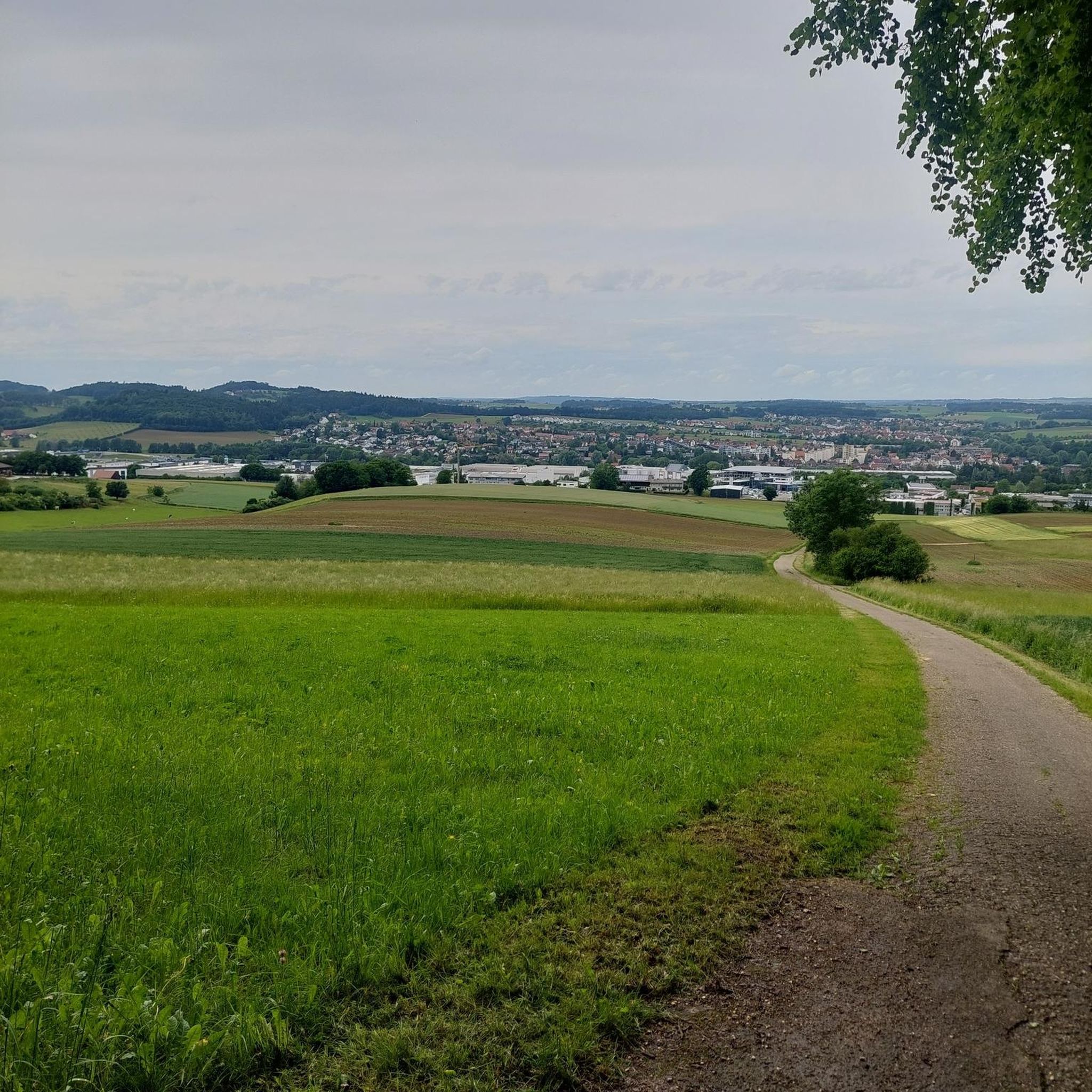
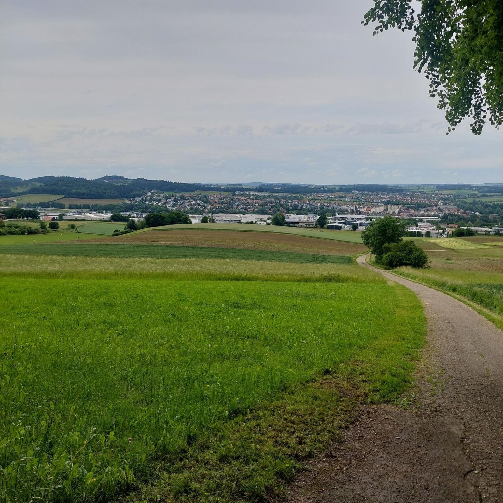
If you want to be close to nature despite riding a racing bike, you should choose this route.
0
0
Frequently Asked Questions
How many no traffic road cycling routes are available in Forestmühler Forst?
Forestmühler Forst offers a wide selection of traffic-free road cycling routes, with over 40 options to explore. These routes cater to various fitness levels, ensuring there's a suitable ride for everyone.
What are the difficulty levels of the no traffic road cycling routes?
The routes in Forestmühler Forst range from easy to difficult. You'll find 5 easy routes perfect for a relaxed ride, 27 moderate routes offering a good challenge, and 10 difficult routes for experienced cyclists seeking significant elevation gains.
Are there any easy no traffic road cycling routes suitable for beginners?
Yes, there are several easy, traffic-free road cycling routes ideal for beginners or those looking for a relaxed ride. An excellent option is the St. James' Church, Kiefenholz – Kruckenberg Village and Church loop from Demling, which covers approximately 22.5 km with minimal elevation.
Can I find routes with significant elevation gain for a challenging ride?
Absolutely. For cyclists seeking a challenge, Forestmühler Forst offers routes with substantial elevation gains. For instance, the Kruckenberg Village and Church loop from Demling features nearly 700 meters of ascent over its 61 km, providing a demanding yet rewarding experience.
What kind of landscapes can I expect on these traffic-free routes?
You can expect a diverse and scenic experience. The routes often wind through the tranquil, shaded environments of the Forestmühler Forst itself, and many also follow the picturesque Danube Cycle Path, offering stunning views of the river. This combination of lush forests and majestic riverside scenery creates a varied and engaging backdrop for your ride.
What attractions can I see along the no traffic road cycling routes?
Many routes offer views of notable attractions. You might cycle past the charming Otterbach Valley or the Otterbach Stream. Keep an eye out for historical landmarks like Wörth Castle on the Danube, and some routes even offer distant glimpses of the neoclassical Walhalla monument.
Are there circular no traffic road cycling routes in Forestmühler Forst?
Yes, many of the traffic-free road cycling routes in Forestmühler Forst are designed as loops, allowing you to start and finish at the same point. An example is the Rural Road Through the Fields loop from Bach an der Donau, offering a substantial 98 km circular ride.
What is the best time of year to go road cycling in Forestmühler Forst?
The best time for road cycling in Forestmühler Forst is generally from spring through autumn. During these seasons, the weather is most favorable, with pleasant temperatures and the natural landscapes, from the forests to the Danube, at their most vibrant. Winter cycling might be possible, but conditions can be challenging.
Are these no traffic road cycling routes suitable for families?
While many routes are designed for road cycling, some of the easier, flatter sections, especially those along the Danube Cycle Path, can be suitable for families with older children who are comfortable with longer distances. Always check the route's difficulty and elevation profile before heading out with younger family members.
Where can I park my car when visiting for a road cycling trip?
Parking options are typically available in the towns and villages that serve as common starting points for these routes, such as Bach an der Donau or Demling. Look for designated parking areas near the start of your chosen route to ensure convenient access.
What do other cyclists say about the no traffic road cycling routes here?
The no traffic road cycling routes in Forestmühler Forst are highly regarded by the komoot community, with an average rating of 4.66 out of 5 stars. Reviewers often praise the serene, traffic-free nature of the routes, the beautiful combination of forest and river scenery, and the varied challenges available for different fitness levels.
Are there any long-distance no traffic road cycling routes?
Yes, Forestmühler Forst offers several long-distance, traffic-free road cycling routes. For example, the Rural Road Through the Fields – Hirschberg Ascent loop from Bach an der Donau spans over 72 km, providing an extensive ride through the region's landscapes.
Most popular routes around Forstmühler Fost
Most popular attractions around Forstmühler Fost

Get inspired with the komoot mobile app


Explore more
Browse the best Road cycling routes in other regions.
