The best mountain hikes around Forstmühler Fost
4.0
(2)
13
hikers
5
hikes
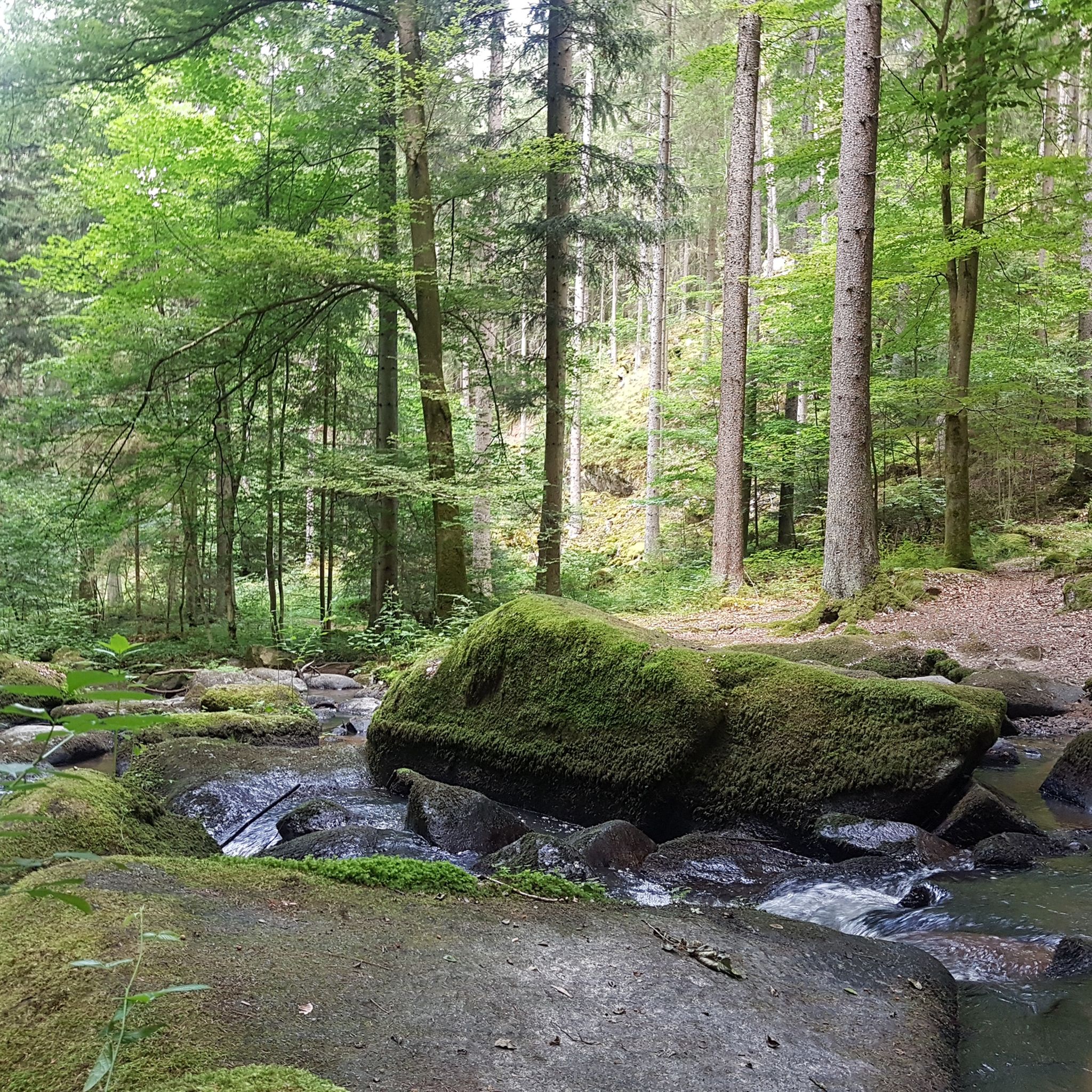
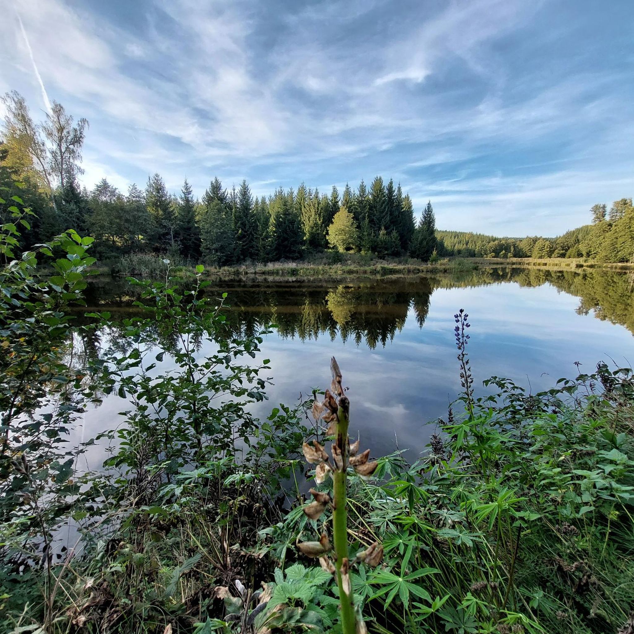
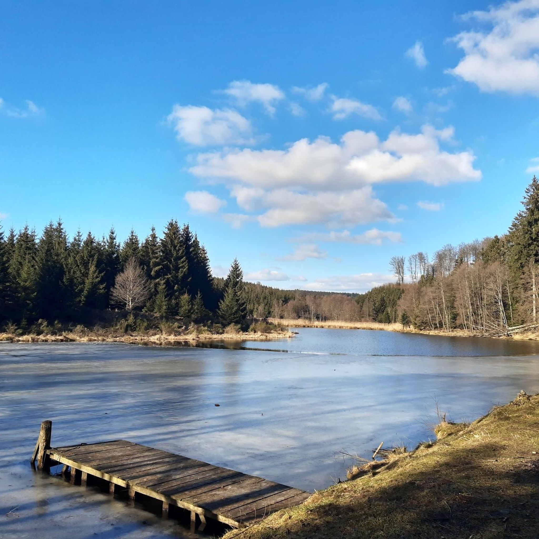
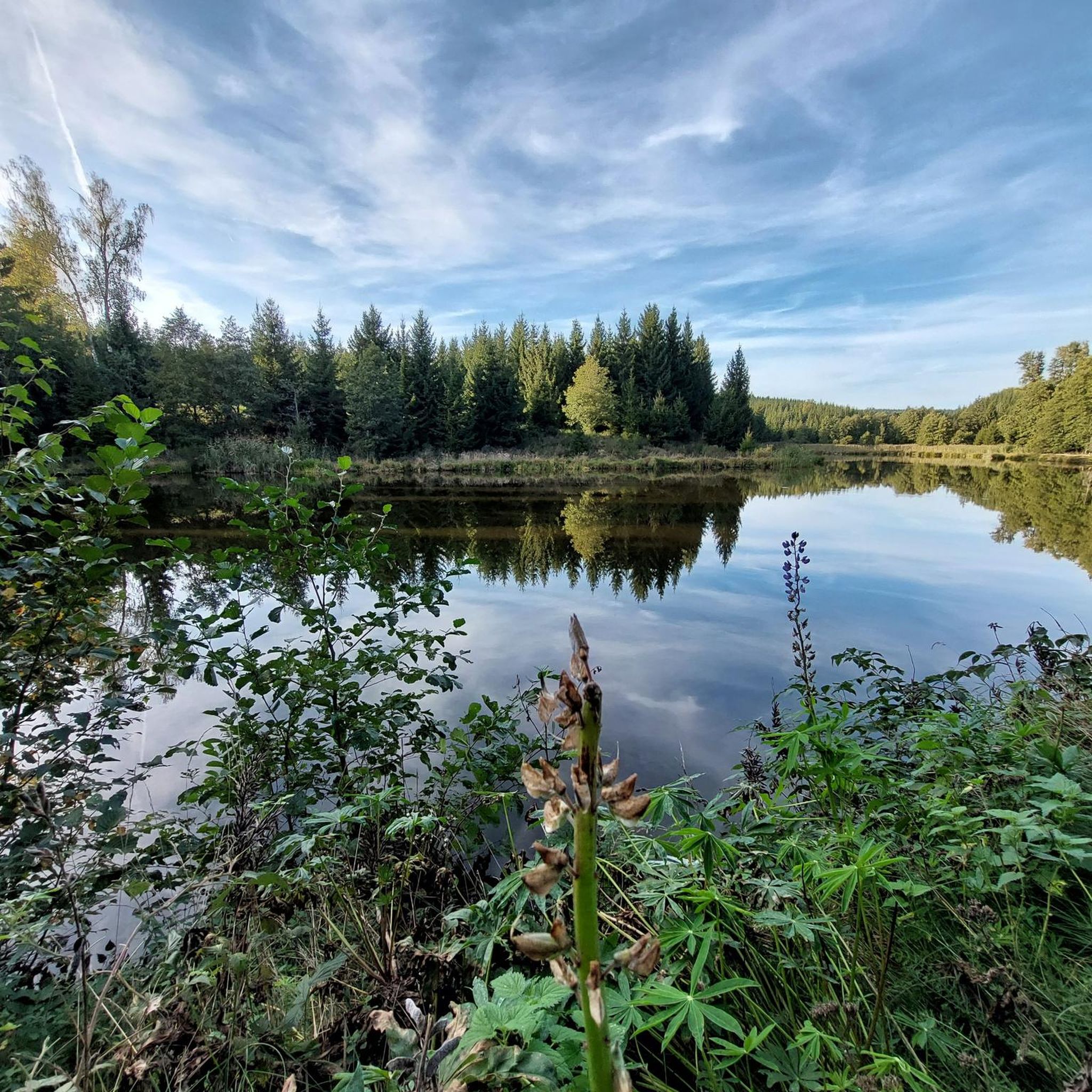
Mountaineering routes around Forstmühler Fost traverse a landscape characterized by valleys, streams, and forested hills. The region offers varied terrain suitable for mountain hiking, with routes often leading through dense woodlands and past natural features like wooden bridges. Elevations are generally moderate, providing accessible options for different skill levels.
Best mountaineering routes around Forstmühler Fost
- The most popular mountaineering route is Höllbachtal Trail – Höllbach Wooden Bridge loop from Rettenbach, a 2.8 miles (4.4 km) trail that takes 1…
Last updated: July 4, 2026
5.0
(1)
2
hikers
4.22km
01:11
70m
70m
Moderate mountaineering route. Great for any fitness level. Mostly accessible paths. Sure-footedness required.
3
hikers
10.0km
02:50
200m
200m
Moderate mountaineering route. Good fitness required. Mostly accessible paths. Sure-footedness required.

Sign up for free
4
hikers
9.81km
02:47
200m
200m
Moderate mountaineering route. Good fitness required. Mostly accessible paths. Sure-footedness required.
3.0
(1)
2
hikers
6.91km
02:04
210m
210m
Moderate mountaineering route. Good fitness required. Easily-accessible paths. Suitable for all skill levels.
2
hikers
3.65km
01:05
110m
110m
Easy mountaineering route. Great for any fitness level. Easily-accessible paths. Suitable for all skill levels.
Our route recommendations are based on thousands of hikes, rides, and runs completed by other people on komoot.
Start today with a free account
Your next adventure awaits.
Login or Signup
Tips from the Community

Hidden behind bushes & hedges... a real lost place!
3
0

There are two parking lots. One is a little higher up.
0
0

it's a dream here
0
1

A magnificent view of the Danube Valley and all the way to Regensburg. The geotrail also features an overview map and information panels with many explanations about the flora and fauna.
4
0
A magnificent view of the Danube Valley and all the way to Regensburg. There's also an overview map and information panels with many explanations about the flora and fauna along the Geotrail.
4
0

Perfect starting points for countless hikes
0
0
Beautiful surroundings, quiet location and great rock formations
1
1

Great view with a wide view
1
1
Frequently Asked Questions
How many mountaineering routes are available in Forstmühler Fost?
There are 5 distinct mountaineering routes around Forstmühler Fost, offering a variety of experiences through forested hills and stream valleys.
Are there any easy mountaineering routes for beginners in Forstmühler Fost?
Yes, Forstmühler Fost offers one easy mountaineering route. The Flowing trail – Dynamite Trail at Keilstein loop from Tegernheim is a great option, covering about 2.3 miles (3.6 km) with moderate elevation changes, making it suitable for those new to mountaineering.
What kind of terrain can I expect on mountaineering routes in Forstmühler Fost?
The mountaineering routes in Forstmühler Fost are characterized by forested hills, stream valleys, and varied elevation changes. You'll often find yourself traversing dense woodlands and passing natural features like wooden bridges, as seen on the Höllbachtal Trail – Höllbach Wooden Bridge loop from Rettenbach.
Are there any circular mountaineering routes in Forstmühler Fost?
Yes, all the mountaineering routes listed for Forstmühler Fost are circular. This includes popular options like the Hetzenbacher Höhe loop from Wald (VGem), which offers ascents to higher ground with scenic views.
What are some notable landmarks or natural features to see along the routes?
Along the mountaineering routes, you can discover several interesting points. The Höllbachtal Trail – Höllbach Wooden Bridge loop from Rettenbach features a distinctive wooden bridge. Additionally, you might encounter highlights such as the Otterbach Valley or the Aschenbrennermarter, which are points of interest in the area.
Are the mountaineering routes in Forstmühler Fost suitable for families?
Yes, the routes in Forstmühler Fost are generally accessible, with options ranging from easy to moderate difficulty. The Flowing trail – Dynamite Trail at Keilstein loop from Tegernheim is an easy route that families might find enjoyable, offering a shorter distance and less challenging terrain.
What do other mountaineers say about the routes in Forstmühler Fost?
The routes in Forstmühler Fost are highly rated by the komoot community, with an average score of 4.0 stars. Mountaineers often appreciate the varied terrain, the peaceful forested landscapes, and the well-defined paths that make for an enjoyable experience.
How long do the mountaineering routes typically take to complete?
The duration of the routes varies depending on their length and your pace. For example, the shorter Höllbachtal Trail – Höllbach Wooden Bridge loop from Rettenbach can be completed in about 1 hour 15 minutes, while longer routes like the Hetzenbacher Höhe loop from Wald (VGem) might take around 2 hours 50 minutes.
Are there any routes that lead to specific viewpoints or elevated areas?
Yes, some routes offer ascents to higher ground, providing views over the surrounding forested landscape. The Hetzenbacher Höhe loop from Wald (VGem) is known for offering such perspectives.
What is the longest mountaineering route available in Forstmühler Fost?
The longest mountaineering route in Forstmühler Fost is the Hetzenbacher Höhe loop from Wald (VGem), which spans approximately 6.2 miles (10.0 km) and features significant elevation changes.
Are there any routes that pass by chapels or other cultural sites?
Yes, the Fellinger Berg – Marien Chapel in the dense forest loop from Tegernheim is a route that leads through dense forest to a chapel, offering a blend of natural beauty and cultural interest.
Most popular routes around Forstmühler Fost
Most popular attractions around Forstmühler Fost

Get inspired with the komoot mobile app


Explore more
Browse the best Mountain Hikes & Routes in other regions.
