The best mountain hikes around Görisried
4.9
(131)
1,002
hikers
40
hikes
Mountaineering routes around Görisried offer access to the varied terrain of the Allgäu Alps. The region features a mix of alpine landscapes, forested slopes, and mountain peaks, providing diverse options for outdoor enthusiasts. With more than 40 mountaineering routes available, there are options ranging from moderate ascents to more challenging expeditions.
Best mountaineering routes around Görisried
- The most popular mountaineering route is Wurzelsteig Trail – Alpspitz Summit (Allgäu Alps) loop from Nesselwang, a 6.9 miles (11.1 km) trail that…
Last updated: July 1, 2026
4.8
(18)
85
hikers
Hard mountaineering route. Very good fitness required. Mostly accessible paths. Sure-footedness required.
76
hikers
7.34km
02:54
550m
550m
Moderate mountaineering route. Good fitness required. Easily-accessible paths. Suitable for all skill levels.

Sign up for free
5.0
(5)
20
hikers
20.0km
07:49
1,150m
1,150m
Hard mountaineering route. Very good fitness required. Mostly accessible paths. Sure-footedness required.
4.0
(1)
22
hikers
Hard mountaineering route. Very good fitness required. Mostly accessible paths. Sure-footedness required.
11
hikers
19.6km
07:05
1,060m
1,060m
Hard mountaineering route. Very good fitness required. Mostly accessible paths. Sure-footedness required.
Get access to more routes and recommendations from other explorers.
Sign up for free
Already have an account?
Our route recommendations are based on thousands of hikes, rides, and runs completed by other people on komoot.
Start today with a free account
Your next adventure awaits.
Login or Signup
Popular around Görisried
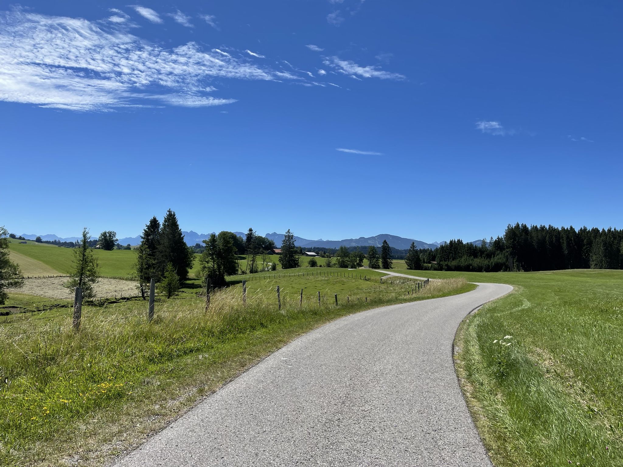
Hike from Augsburg to the Allgäu Alps
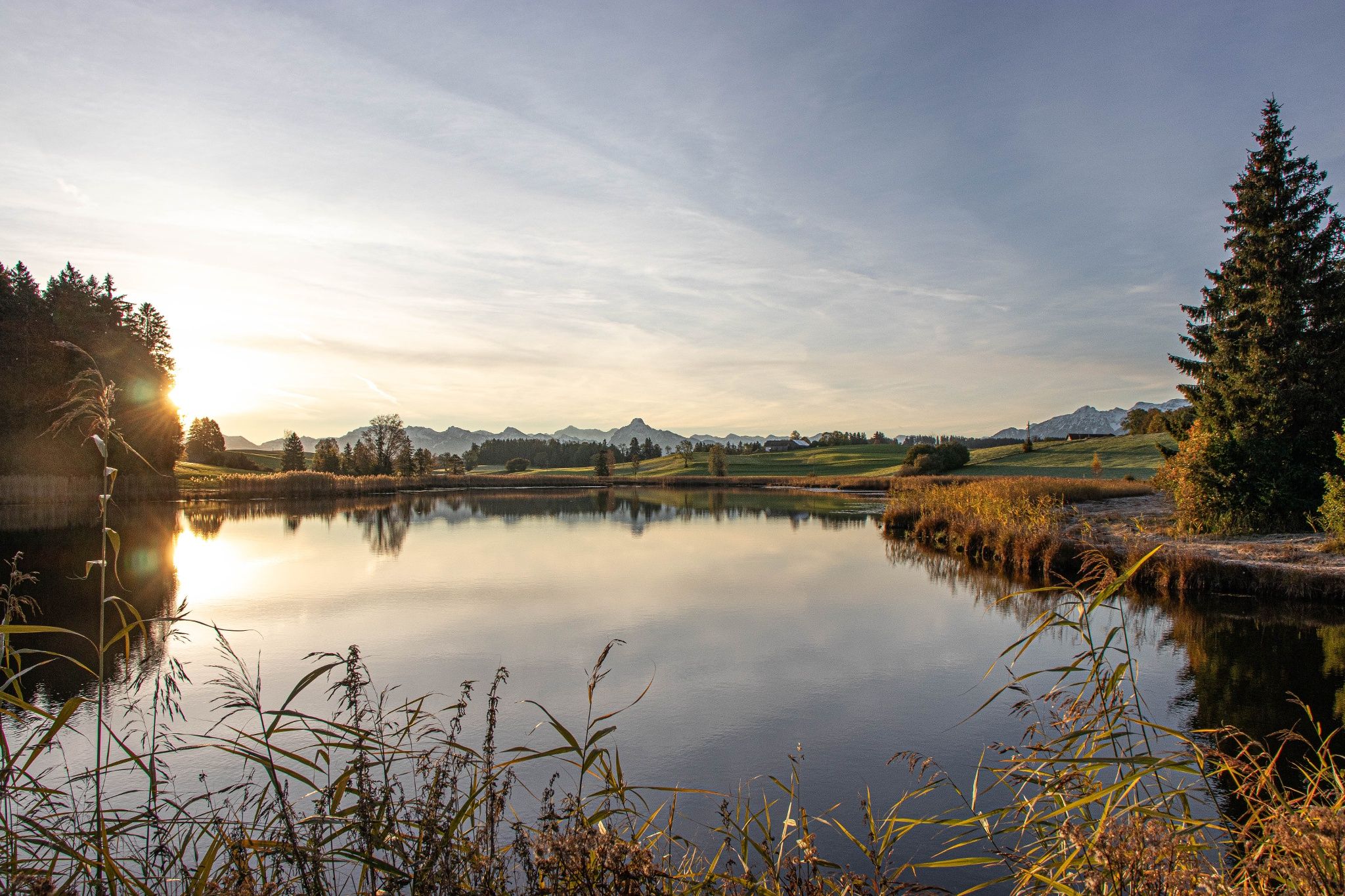
Hike with the Alps in view – discovery Tours in Germany’s Ostallgäu
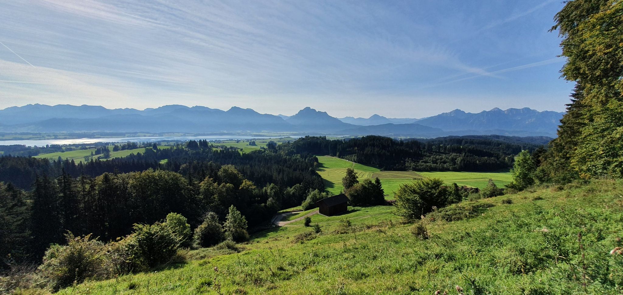
Curtain up, nature film on! — Logenplatz route in Germany's Ostallgäu
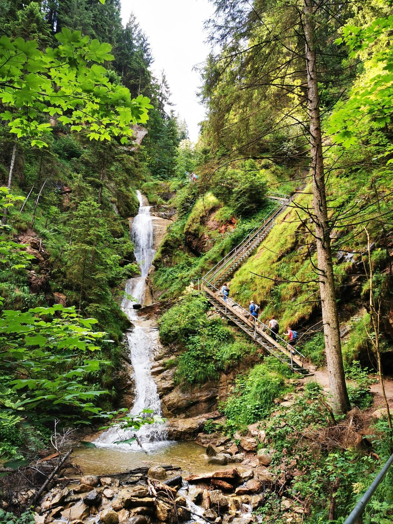
Discover Alpine lakes on the Watercourse Route – Allgäu hiking trilogy
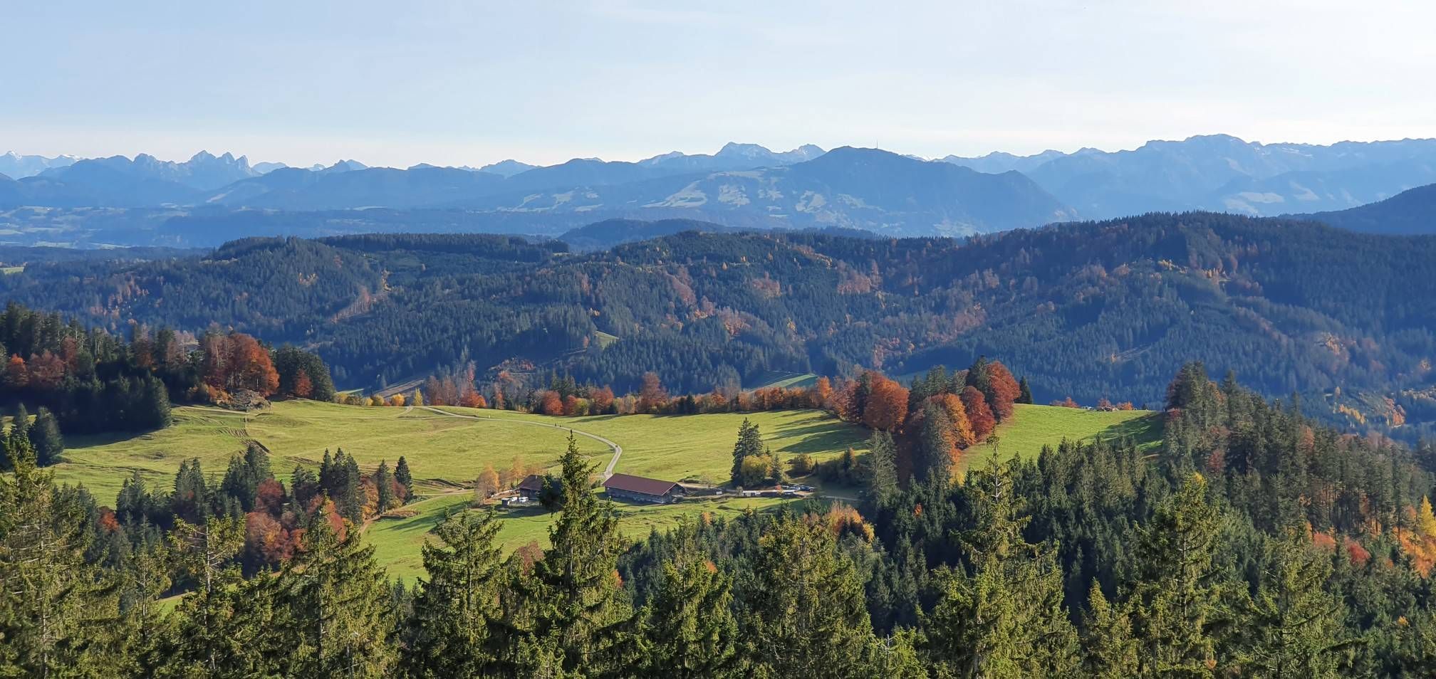
Alpine foothills on the Meadow Walkers’ Route – Allgäu hiking trilogy
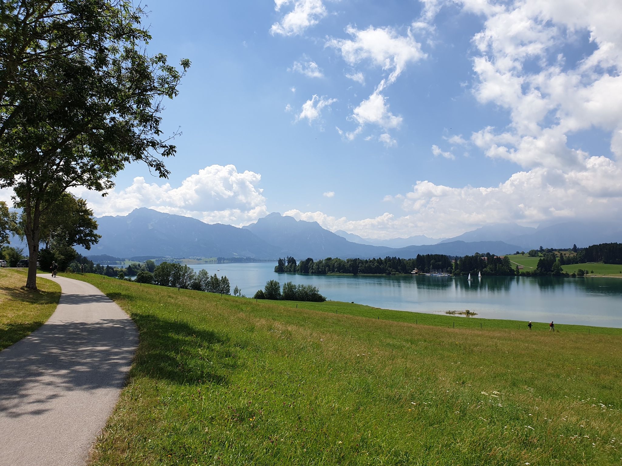
Historic landscapes, palaces & castles – cycling in the Schlosspark in Allgäu
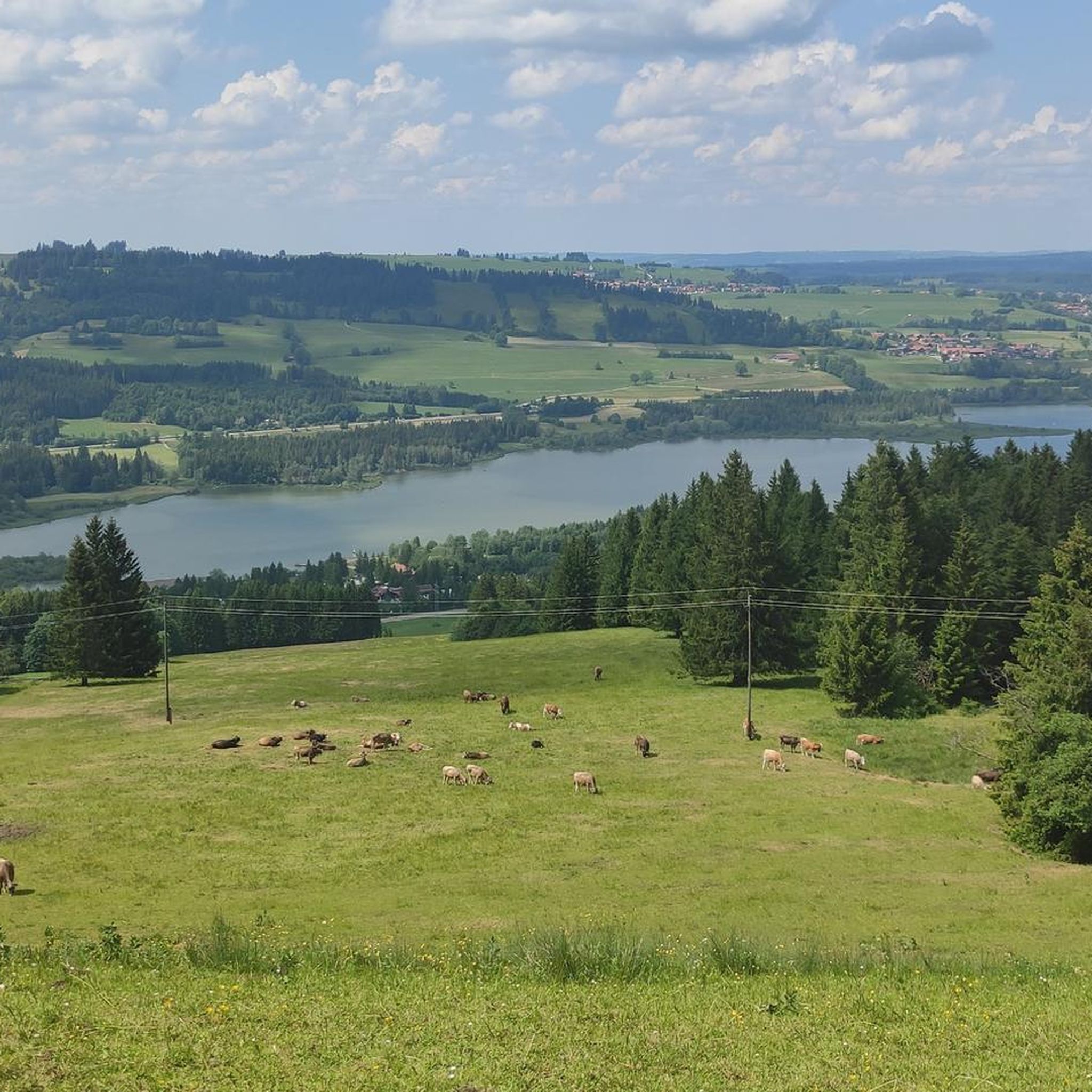
Cycling around Görisried
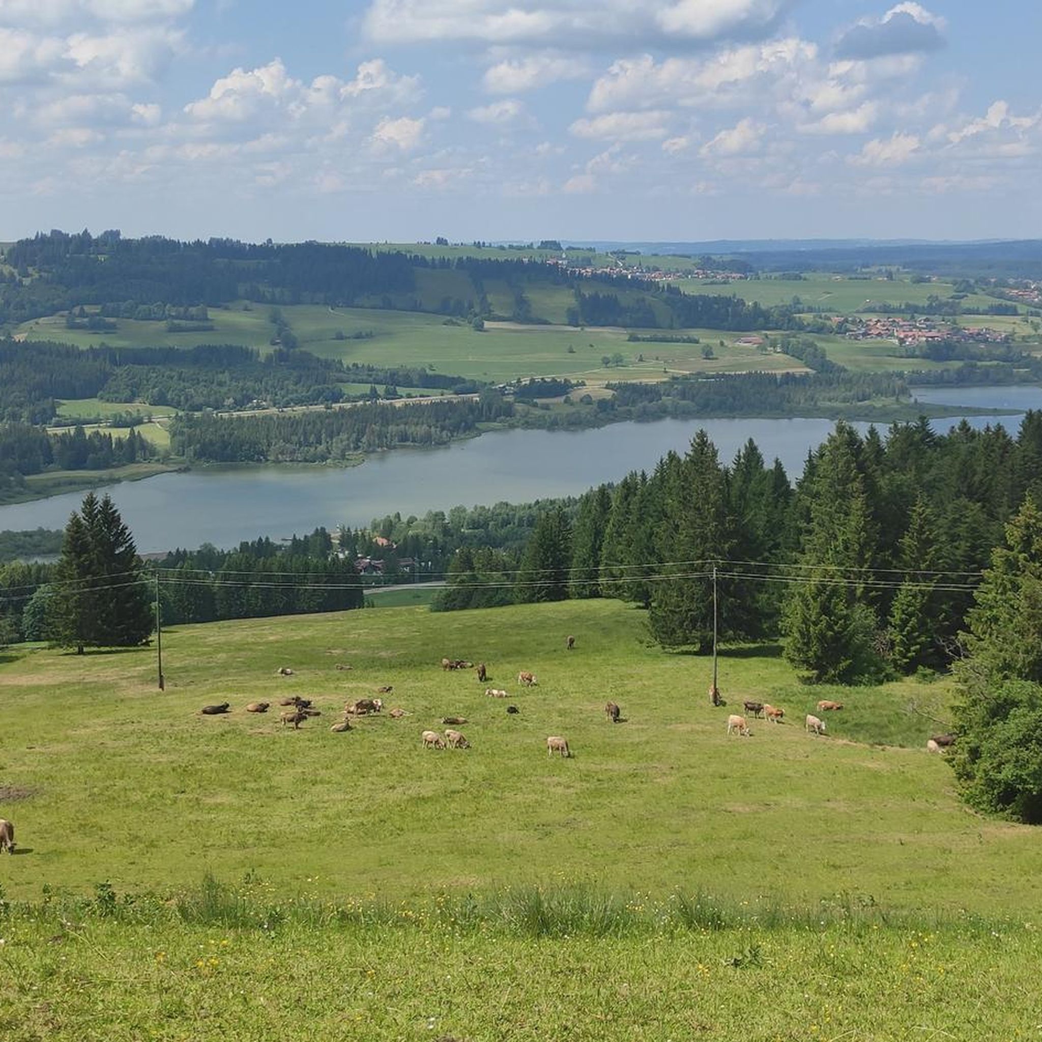
Hiking around Görisried
MTB Trails around Görisried
Gravel biking around Görisried
Other adventures around Görisried


Tips from the Community


Great spot to enjoy the view - but only when there are no pedestrians there!
0
0

The Alpspitz (1575 m) is a subsidiary peak of the Edelsberg. It lies on the northeastern edge of the Allgäu Alps, directly on the edge of the Alps. Important valley towns in the Alpspitz are Nesselwang to the north, within whose territory it is located, as well as Pfronten to the east and Jungholz to the southwest. Two kilometers to the west lies the independent Reuterwanne (1539 m). The summit is easily accessible via forest roads and hiking trails. The quickest and shortest access is from the north via the mountain station of the Alpspitzbahn Nesselwang cable car, located on a saddle 75 m below the summit. Other routes lead, for example, via the ruins of Nesselburg Castle or the Maria Trost pilgrimage church. A wooden cross stands on the summit. Source: https://de.wikipedia.org/wiki/Alpspitz_(Allg%C3%A4uer_Alpen)
1
0
The Baroque Maria Trost Church and its adjoining youth hostel are located above the town of Nesselwang in a uniquely beautiful forest clearing at an altitude of 1,123 meters. The church and hostel are only accessible on foot, a 45-minute climb (by car only with a special permit or toll). From the Zinkenbichel Chapel in the center of Nesselwang, you can ascend the scenic Maria Trost Avenue, then the wildly romantic Calvary Trail with its fourteen Stations of the Cross, or take the longer, less strenuous hike. Source: https://www.bja-augsburg.de/Jugendhaeuser/Unsere-Jugendhaeuser/Bergheim-Maria-Trost-Nesselwang
1
0
The alpine hut, idyllically situated amidst the alpine meadows on the Edelsberg, is open from June to the beginning of September (only open on weekends - the hut remains closed in case of persistent rain). At 1,495 meters, the alpine shepherd cares for the free-roaming "Schumpen" (young cattle) – as the Allgäu people call them. From the beginning of September, they return to their farmers' stables well-fed and healthy. Until then, the Allgäu young cattle have had ample opportunity to graze on the diverse grasses of the alpine meadows. In addition to the unique mountain panorama, there is a delicious snack and refreshing drinks. At the Dinserhütte, the Nöß family not only ensures the well-being of the young cattle, but also welcomes hikers and mountain bikers. Source: https://www.pfronten.de/aktiv/berghuetten/dinserhuette/#regdl=kategorien
2
0
With the pilgrimage church Maria Trost, the market town of Nesselwang has one of the most important pilgrimages in Bavarian Swabia. The baroque Marian pilgrimage site is located at an altitude of 1123 m on a forest clearing above the town, with which it is connected by the Kalvarienbergweg (Calvary Way), which leads from the Zinkenbichl chapel in Nesselwang via the Maria-Trost-Allee to the mountain height in three-quarters of an hour. Quelle: https://www.pg-pfronten-nesselwang.de/pfarreien/pfarrei-nesselwang/wallfahrtskirche-maria-trost/
1
0
The reservoir was completed in 1962 and is used for flood protection and power generation. The Grüntensee and some areas of its shores are also used as recreational areas. On the north shore of the Grüntensee is the Kletterwald Grüntensee (a high ropes course). The lake was named after the Grünten mountain, which is about 11 kilometers southwest and is a striking feature on the northern edge of the Allgäu Alps. Source: https://de.wikipedia.org/wiki/Gr%C3%BCntensee
1
0
The AlpspitzKICK is a highlight in the Allgäu region. It not only offers fantastic views of the Alpine foothills, but the spectacular zipline at the Alpspitzbahn cable car in Nesselwang is something for those with a strong sense of stability: It descends a total of 1.2 kilometers in two sections on a cable. Speeds of up to 120 kilometers per hour are reached. The start is at the mountain station at approximately 1,500 meters, very close to the summit of the Alpspitze.
2
0
Frequently Asked Questions
How many mountaineering routes are available around Görisried?
There are over 40 mountaineering routes around Görisried, offering a wide range of options for different skill levels. These include 1 easy route, 30 moderate routes, and 11 difficult routes.
Are there any family-friendly mountaineering routes in the area?
While many routes are moderate, which can be suitable for families with some hiking experience, there is at least one easy mountaineering route available. For a moderate option that offers scenic views, consider the Alpspitz Summit (Allgäu Alps) – View of Grüntensee loop from Nesselwang, which is 5.7 miles (9.2 km) long.
Are there any circular mountaineering routes around Görisried?
Yes, many of the mountaineering routes around Görisried are circular. For example, the Mountaineering loop from Nesselwang is a moderate 4.3 km (2.7 miles) loop, perfect for a shorter outing. Another option is the Wurzelsteig Trail – Alpspitz Summit (Allgäu Alps) loop from Nesselwang, a moderate 6.9 miles (11.1 km) trail.
What kind of natural attractions can I see along the mountaineering routes?
The region boasts diverse natural beauty. You might encounter stunning waterfalls, such as the Waterfall trail Nesselwang, or enjoy panoramic views from summits like Reuterwanne summit and Edelsberg Summit and Pavilion. Some routes also pass by tranquil lakes like Schlossweiher Schweinegg.
What is the best season for mountaineering in Görisried?
The Allgäu Alps, including the area around Görisried, are generally best for mountaineering from late spring through early autumn (May to October). During these months, trails are typically clear of snow, and the weather is more stable. Always check local weather conditions before heading out, especially in shoulder seasons.
Are there any challenging mountaineering routes for experienced hikers?
Yes, Görisried offers 11 difficult mountaineering routes. A notable challenging option is the Waterfall trail Nesselwang – Edelsberg Summit and Pavilion loop from Nesselwang, which spans nearly 20 km (12.4 miles) with over 1100 meters of elevation gain.
What do other mountaineers say about the routes in Görisried?
The mountaineering routes in Görisried are highly regarded by the komoot community, holding an average rating of 4.9 stars from over 150 reviews. Users frequently praise the varied alpine landscapes, well-maintained paths, and the stunning views of the Allgäu Alps.
Are there any historical landmarks or castles near the mountaineering trails?
Yes, the region is rich in history. You can explore fascinating ruins such as Eisenberg Castle Ruins, Hohenfreyberg Castle Ruins, and Nesselburg Castle Ruins. These historical sites often provide interesting detours or viewpoints along your mountaineering adventures.
Is public transport available to reach the trailheads?
While specific public transport options vary by trailhead, the Allgäu region generally has a network of buses connecting towns and villages. It's advisable to check local bus schedules for routes serving Nesselwang or other starting points near Görisried, as many mountaineering tours begin from these locations.
Are there cafes or places to eat near the mountaineering routes?
Yes, you'll find various refreshment stops in the towns and villages surrounding Görisried, such as Nesselwang. Some routes might also pass by traditional mountain huts or alms, like Schlossberg Alm, where you can enjoy local food and drinks.
Can I bring my dog on the mountaineering trails?
Many trails in the Allgäu Alps are dog-friendly, but it's always recommended to keep your dog on a leash, especially in areas with livestock or wildlife. Be mindful of any specific local regulations or protected areas that might restrict dogs. Always carry enough water for both yourself and your pet.
What are the typical parking facilities like at the trailheads?
Most popular trailheads in the Görisried area, particularly those starting from towns like Nesselwang, offer designated parking areas. Some may be free, while others might require a small fee. It's always a good idea to arrive early during peak season to secure a spot.
Are there any hidden gem mountaineering routes that are less crowded?
While the main routes are popular, the extensive network of over 40 trails means you can often find quieter paths. Exploring some of the moderate or difficult routes that are not the absolute 'top picks' can lead to more secluded experiences. For instance, the Edelsberg Pavilion – Alpspitz Summit (Allgäu Alps) loop from Nesselwang offers a challenging and rewarding experience through alpine terrain.
Most popular routes around Görisried
Most popular attractions around Görisried

Get inspired with the komoot mobile app


Explore more
Browse the best Mountain Hikes & Routes in other regions.
