The best gravel rides around Görisried
4.6
(143)
843
riders
94
rides
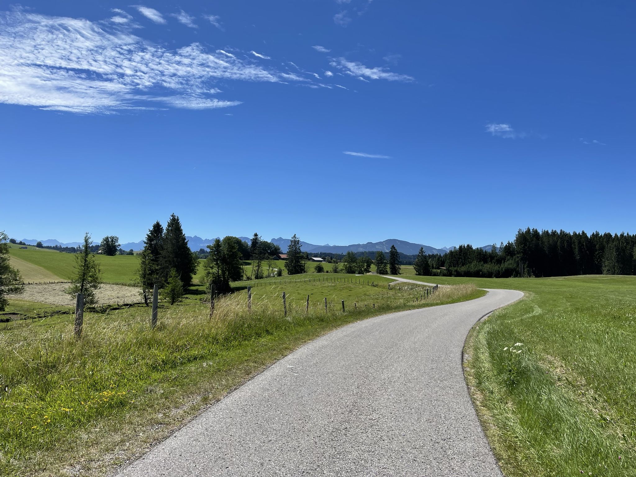
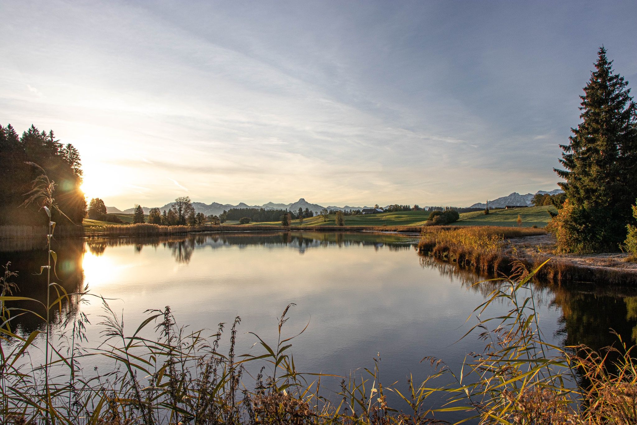
Gravel biking around Görisried offers diverse terrain at the foot of the Allgäu Alps. The region features a mix of long gravel sections, forest paths, and narrow asphalt roads, providing routes away from heavy traffic. Hilly, green meadows, dark forests, and numerous farms characterize the landscape, with varied ascents and descents. Natural features include the Allgäu Alps, lush meadows, and crystal-clear lakes like Rottachsee, which influence the varied topography.
Best gravel bike trails around Görisried
- The most popular gravel bike…
Last updated: July 11, 2026
4.4
(29)
155
riders
44.9km
02:36
490m
490m
Hard gravel ride. Very good fitness required. Mostly paved surfaces. Suitable for all skill levels.
4.7
(9)
44
riders
42.3km
02:40
650m
650m
Hard gravel ride. Very good fitness required. You may need to push your bike for some segments of this route.

Sign up for free
4.0
(4)
35
riders
20.0km
01:05
180m
180m
Moderate gravel ride. Good fitness required. Mostly paved surfaces. Suitable for all skill levels.
4.4
(5)
36
riders
Hard gravel ride. Very good fitness required. Mostly paved surfaces. Suitable for all skill levels.
5.0
(1)
6
riders
48.8km
03:02
600m
600m
Hard gravel ride. Very good fitness required. Mostly paved surfaces. Suitable for all skill levels.
Get access to more routes and recommendations from other explorers.
Sign up for free
Already have an account?
Our route recommendations are based on thousands of hikes, rides, and runs completed by other people on komoot.
Start today with a free account
Your next adventure awaits.
Login or Signup
Popular around Görisried
Hike from Augsburg to the Allgäu Alps
Hike with the Alps in view – discovery Tours in Germany’s Ostallgäu
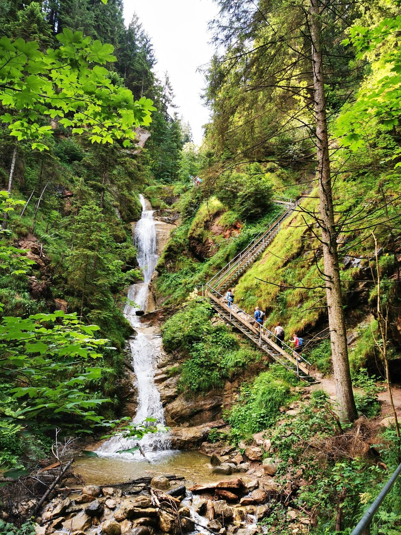
Curtain up, nature film on! — Logenplatz route in Germany's Ostallgäu
Discover Alpine lakes on the Watercourse Route – Allgäu hiking trilogy
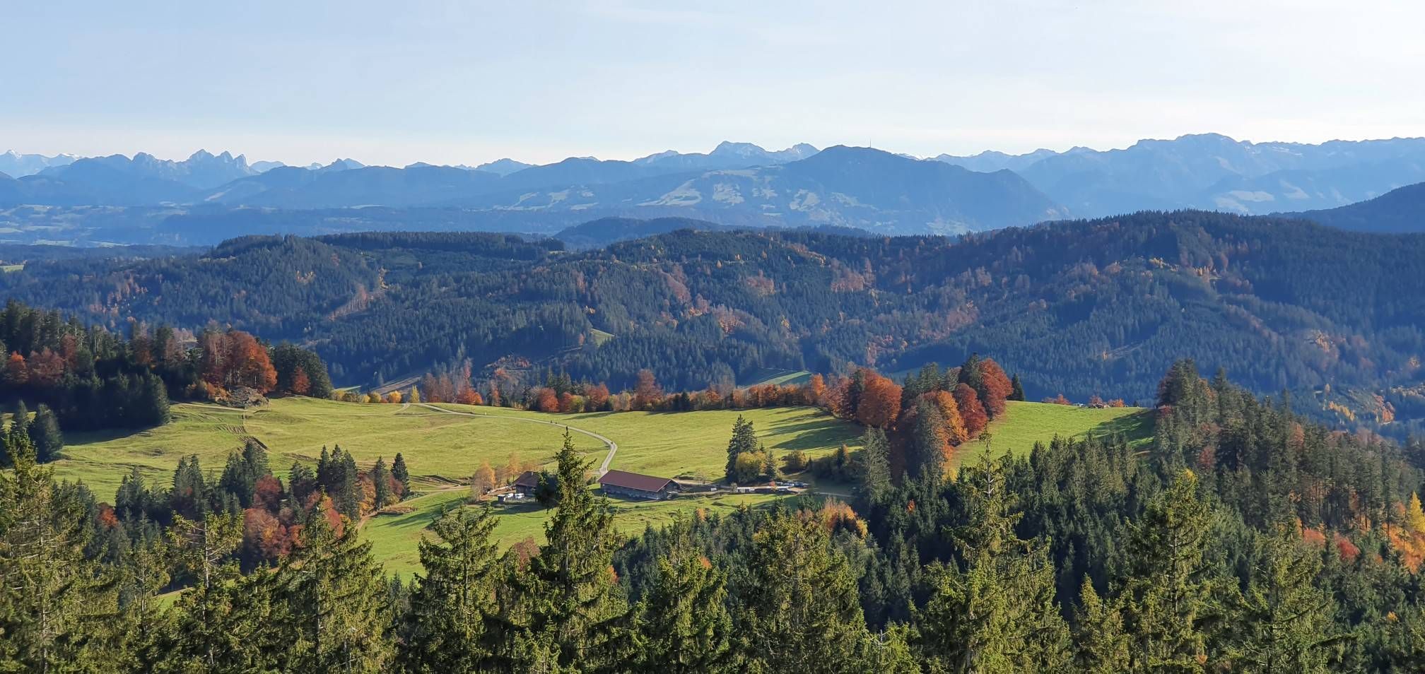
Alpine foothills on the Meadow Walkers’ Route – Allgäu hiking trilogy
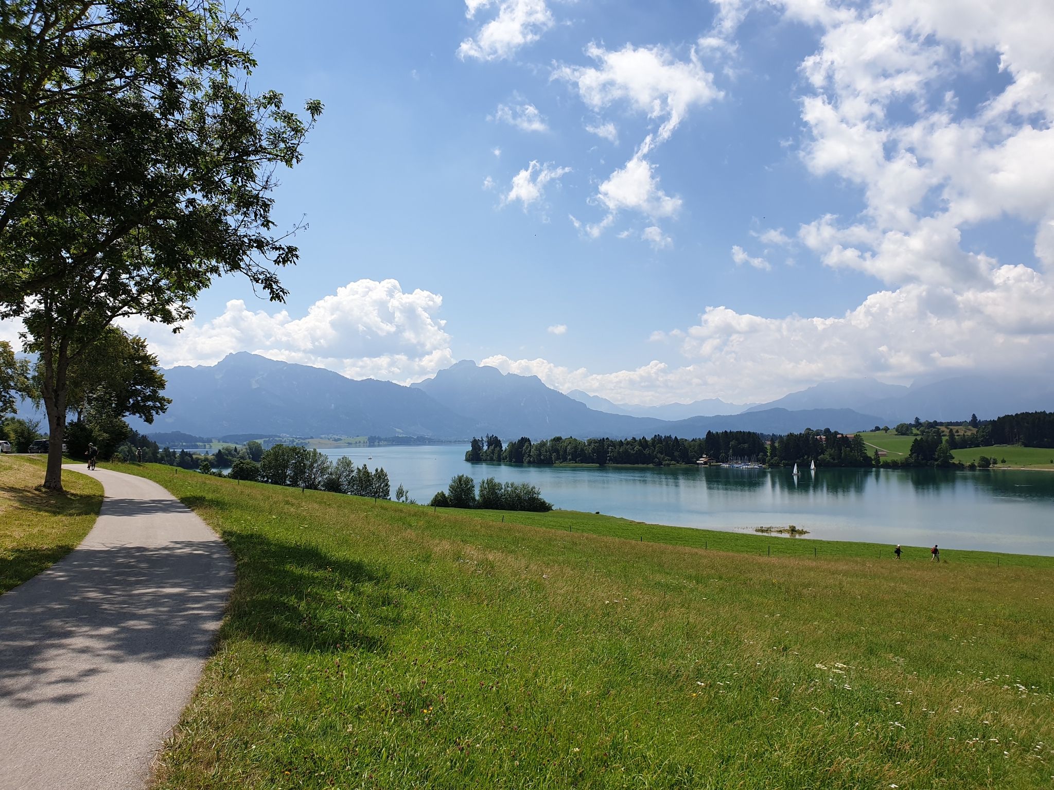
Historic landscapes, palaces & castles – cycling in the Schlosspark in Allgäu
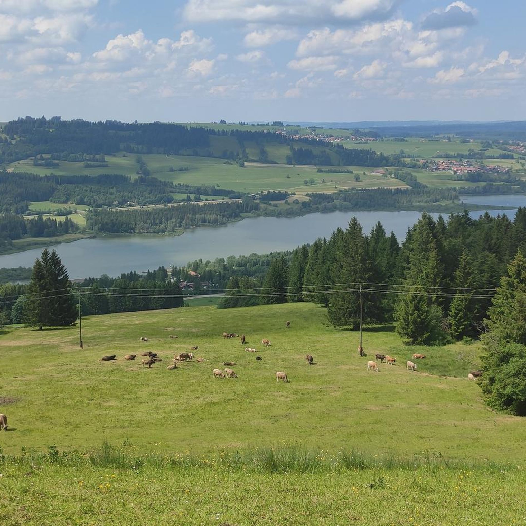
Cycling around Görisried
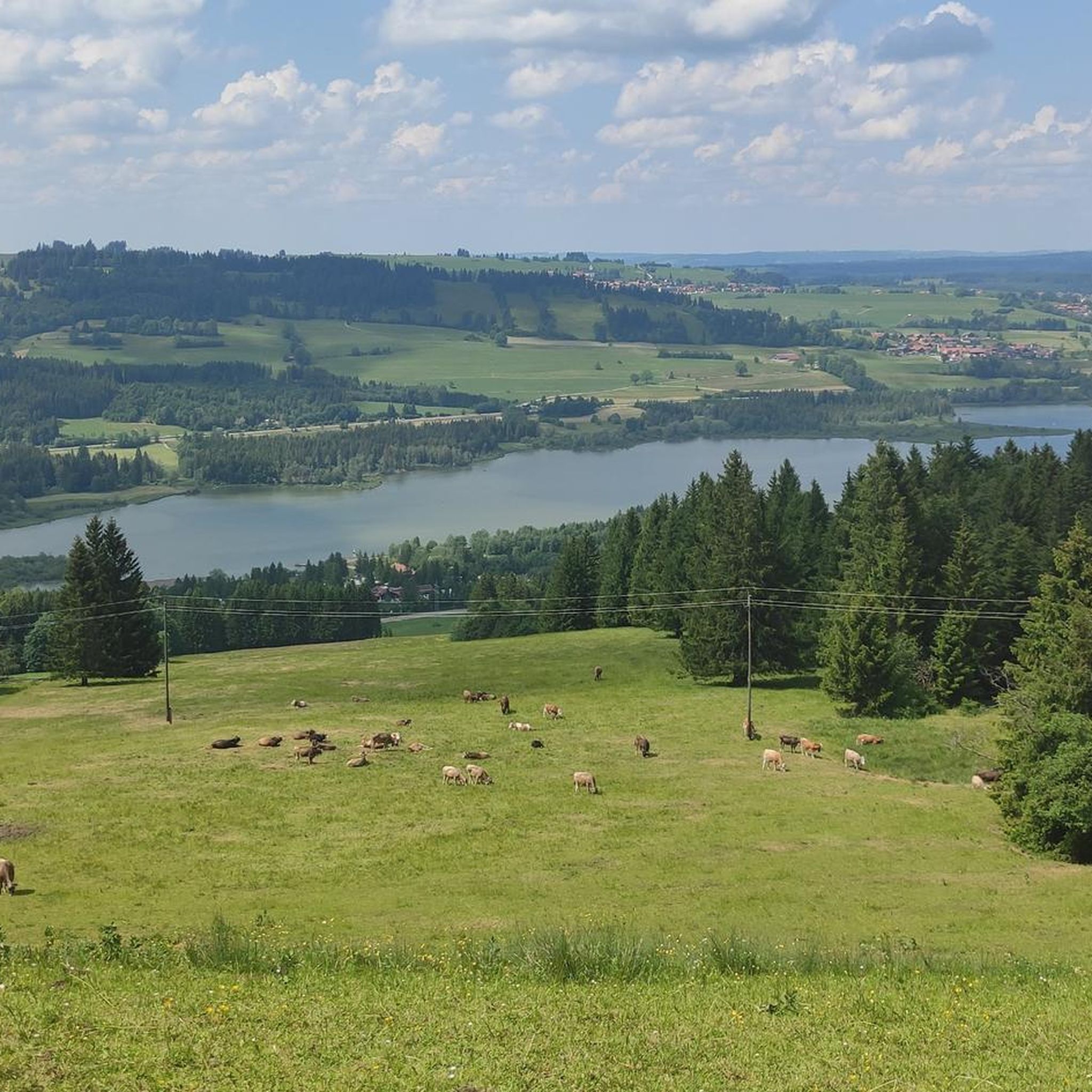
Hiking around Görisried
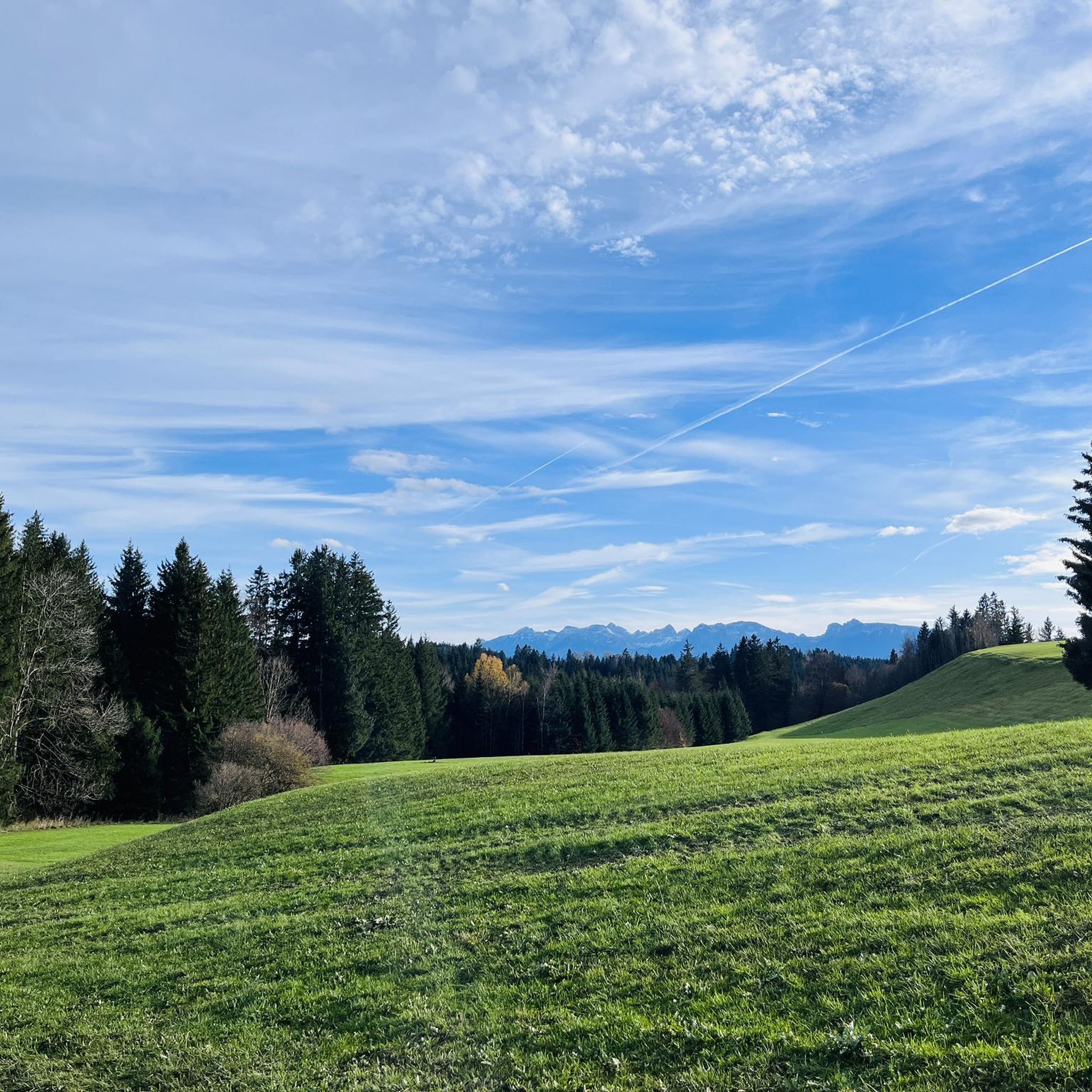
MTB Trails around Görisried
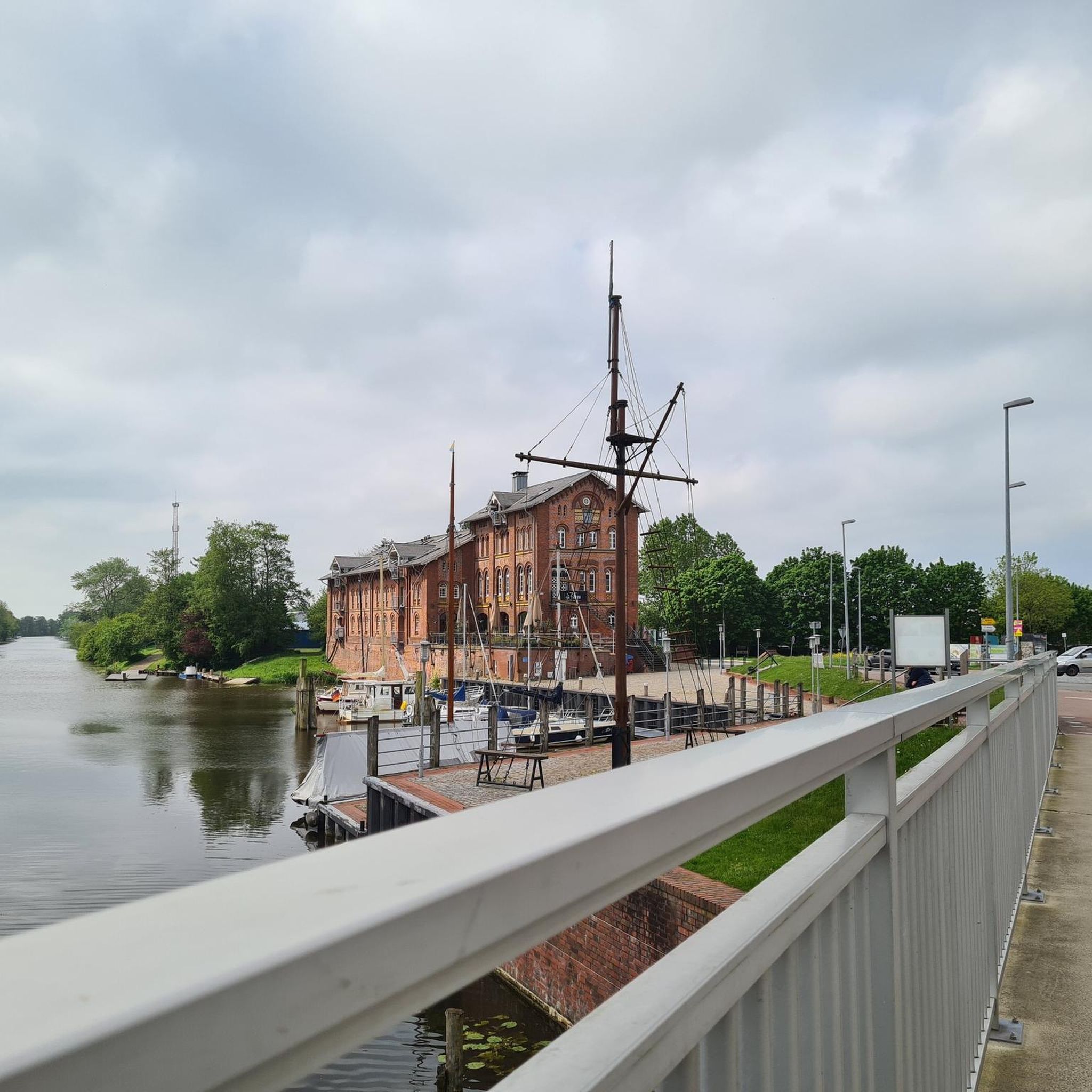
Mountain Hikes around Görisried
Other adventures around Görisried


Tips from the Community

Very beautiful lakeside path with many swimming opportunities, very natural, varied ups and downs around the lake
0
0

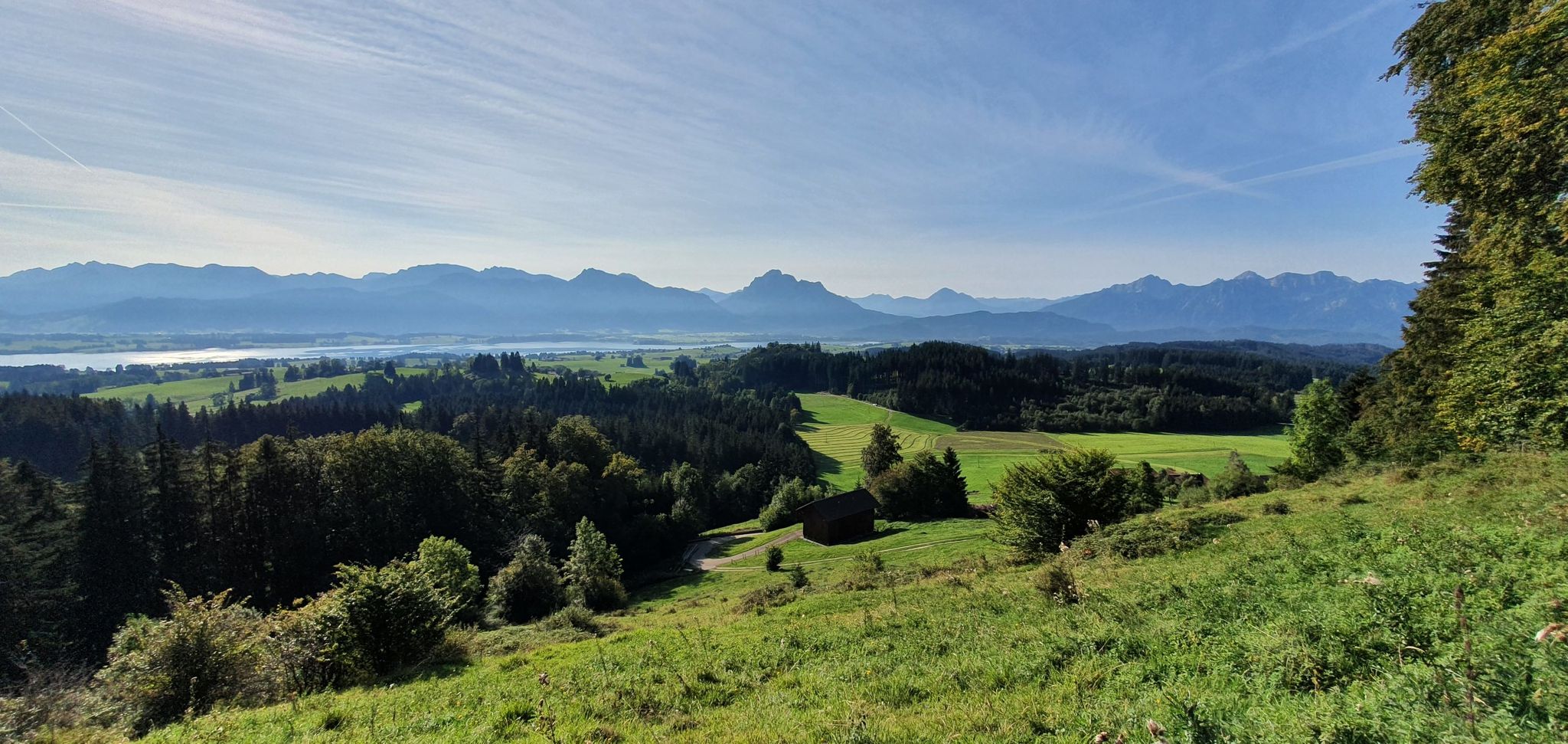
Best viewpoint at Hochgreuth
0
0
Unique viewpoint at Hochgreuth.
0
0

Great trail around the Grüntensee
1
0

Super beautiful, partially steep cycle path.
0
0


Beautiful circular route around the long lake with idyllic spots.
1
0

Dreamlike view
0
0
Frequently Asked Questions
What kind of terrain can I expect on gravel bike trails in Görisried?
The region around Görisried offers diverse terrain, including a mix of long gravel sections, forest paths, and narrow asphalt roads, allowing for routes away from heavy traffic. You'll encounter hilly landscapes with varied ascents and descents, lush meadows, and dark forests. While generally not overly technical, some sections might feature coarser gravel or occasional roots.
Are there gravel bike routes for beginners or more advanced riders in Görisried?
Yes, Görisried offers routes for various ability levels. You can find moderate paths, but also more challenging routes with significant elevation gain. For example, the Vils Valley Trail – View of the Vils Valley loop from Oy-Mittelberg is a difficult route with nearly 500 meters of elevation gain, while the Lake Grünten – Grüntensee loop from Nesselwang is a moderate option.
What natural features or landmarks can I see along the gravel bike trails in Görisried?
Many routes offer enchanting panoramic views of the Allgäu Alps, lush meadows, and dark forests. You can also enjoy views of crystal-clear lakes like Rottachsee and Grüntensee. For instance, the View of the Allgäu Alps – View of Grüntensee loop from Wertach-Haslach provides expansive views of the Allgäu Alps and Grüntensee, and the View of Lake Rottach – Lake Rottach loop from Wertach-Haslach offers scenic views of Lake Rottach.
Are there any circular gravel bike routes available in Görisried?
Yes, many of the gravel bike routes around Görisried are designed as loops. Examples include the Vils Valley Trail – View of the Vils Valley loop from Oy-Mittelberg, the View of the Allgäu Alps – View of Grüntensee loop from Wertach-Haslach, and the View of Lake Rottach – Lake Rottach loop from Wertach-Haslach, all offering convenient circular tours.
What do other gravel bikers enjoy most about the trails in Görisried?
The gravel biking routes in Görisried are highly rated by the komoot community, with an average score of 4.7 stars from over 200 reviews. Riders often praise the varied terrain, the beautiful views of the Allgäu Alps and lakes, and the opportunity to cycle away from heavy traffic through serene meadows and forests.
Are there any specific lakes I can visit or see while gravel biking in Görisried?
Yes, the region is known for its crystal-clear lakes. You can enjoy views of Lake Rottach and Grüntensee on various routes. The View of Lake Rottach – Lake Rottach loop from Wertach-Haslach specifically leads through hilly landscapes with views of Lake Rottach.
What is the best time of year for gravel biking in Görisried?
Görisried offers year-round outdoor appeal. While specific gravel biking conditions vary, the spring, summer, and autumn months generally provide the most favorable weather for exploring the diverse terrain. In winter, the area transforms into a destination for other winter sports, so be prepared for snow and colder conditions if riding then.
Are there any family-friendly gravel bike trails in Görisried?
While many routes feature hilly terrain and significant elevation, there are options suitable for various fitness levels. For families, it's advisable to look for routes described as 'moderate' or 'easy' to ensure a comfortable experience. The Lake Grünten – Grüntensee loop from Nesselwang is a moderate option that might be suitable for families looking for a shorter ride.
Where can I find parking for gravel biking in Görisried?
While specific parking locations for each trailhead are not detailed here, Görisried and its surrounding villages like Oy-Mittelberg and Wertach-Haslach, which serve as starting points for many routes, typically offer public parking facilities. It's recommended to check local signage upon arrival for designated parking areas.
Are there any other outdoor activities or attractions near the gravel biking trails in Görisried?
Beyond gravel biking, Görisried is a hub for other outdoor activities. You can explore hiking trails like the Naturerlebnispfad Görisried or the Waterfall trail Nesselwang. The region also has cultural attractions like the Church of St. Magnus and is close to the world-famous Neuschwanstein Castle, offering options for rest days or companions.
What is the typical duration for a gravel bike ride in Görisried?
The duration of gravel bike rides in Görisried varies significantly depending on the route's distance and difficulty. For example, the Vils Valley Trail – View of the Vils Valley loop from Oy-Mittelberg typically takes about 2 hours 36 minutes, while the View of Lake Rottach – Lake Rottach loop from Wertach-Haslach is often completed in about 2 hours 40 minutes. Longer routes, like the Forest Path Near Unterjoch – Unterjoch Alpine Pastures loop from Nesselwang, can take over 3 hours.
Most popular routes around Görisried
Most popular attractions around Görisried

Get inspired with the komoot mobile app


Explore more
Browse the best Gravel rides in other regions.
