The best running trails around Pettneu am Arlberg
4.6
(97)
3,519
runners
117
runs
Jogging around Pettneu am Arlberg offers routes through an alpine setting, nestled at 1,228 meters between the Lechtal Alps and the Verwall Group. The region is characterized by the Rosanna River, which carves through the Stanzertal valley, providing dedicated paths for running. Diverse trails range from riverside routes to paths with moderate elevation changes, suitable for various fitness levels. This landscape provides a natural environment for outdoor activities, including extensive networks of running and Nordic walking routes.
Best jogging routes around Pettneu am Arlberg
- The most popular jogging route is Galzigbahn Valley Station – Bridge Over the Rosanna loop from Wildruhefläche Nessler, a 6.2 miles (9.9 km) moderate trail that takes 1 hour 6 minutes to complete. This route follows the Rosanna River, offering a scenic run.
- Another top favourite among local runners is St. Anton am Arlberg – Galzigbahn Valley Station loop from Wildruhefläche Rendl, a difficult 9.6 miles (15.4 km) path. This route offers views of the surrounding alpine landscape and takes approximately 1 hour 38 minutes.
- Local runners also love the Bridge Over the Rosanna – Along the banks of the Rosanna loop from Pettneu am Arlberg, an 11.9 miles (19.2 km) trail leading along the Rosanna River through the Stanzertal valley, often completed in about 2 hours 3 minutes.
- Jogging around Pettneu am Arlberg is defined by the Lechtal Alps, the Verwall Group, and the Rosanna River. The network offers options for different ability levels, from easy riverside paths to more challenging trails with significant elevation gain.
- The routes in Pettneu am Arlberg are highly rated by the komoot community with an average score of 4.6 stars from over 90 reviews. More than 3000 runners have used komoot to explore Pettneu am Arlberg's varied terrain.
Last updated: July 7, 2026
3.7
(3)
124
runners
Moderate run. Good fitness required. Mostly paved surfaces. Suitable for all skill levels.
5.0
(3)
71
runners
Hard run. Very good fitness required. Mostly paved surfaces. Suitable for all skill levels.

Sign up for free
58
runners
Hard run. Very good fitness required. Mostly paved surfaces. Suitable for all skill levels.
5.0
(1)
51
runners
20.8km
02:17
390m
390m
Hard run. Very good fitness required. Mostly paved surfaces. Suitable for all skill levels.
5.0
(14)
16
runners
10.3km
01:23
440m
440m
Hard run. Very good fitness required. Sure-footedness, sturdy shoes and alpine experience required.
Get access to more routes and recommendations from other explorers.
Sign up for free
Already have an account?
Our route recommendations are based on thousands of hikes, rides, and runs completed by other people on komoot.
Start today with a free account
Your next adventure awaits.
Login or Signup
Popular around Pettneu am Arlberg
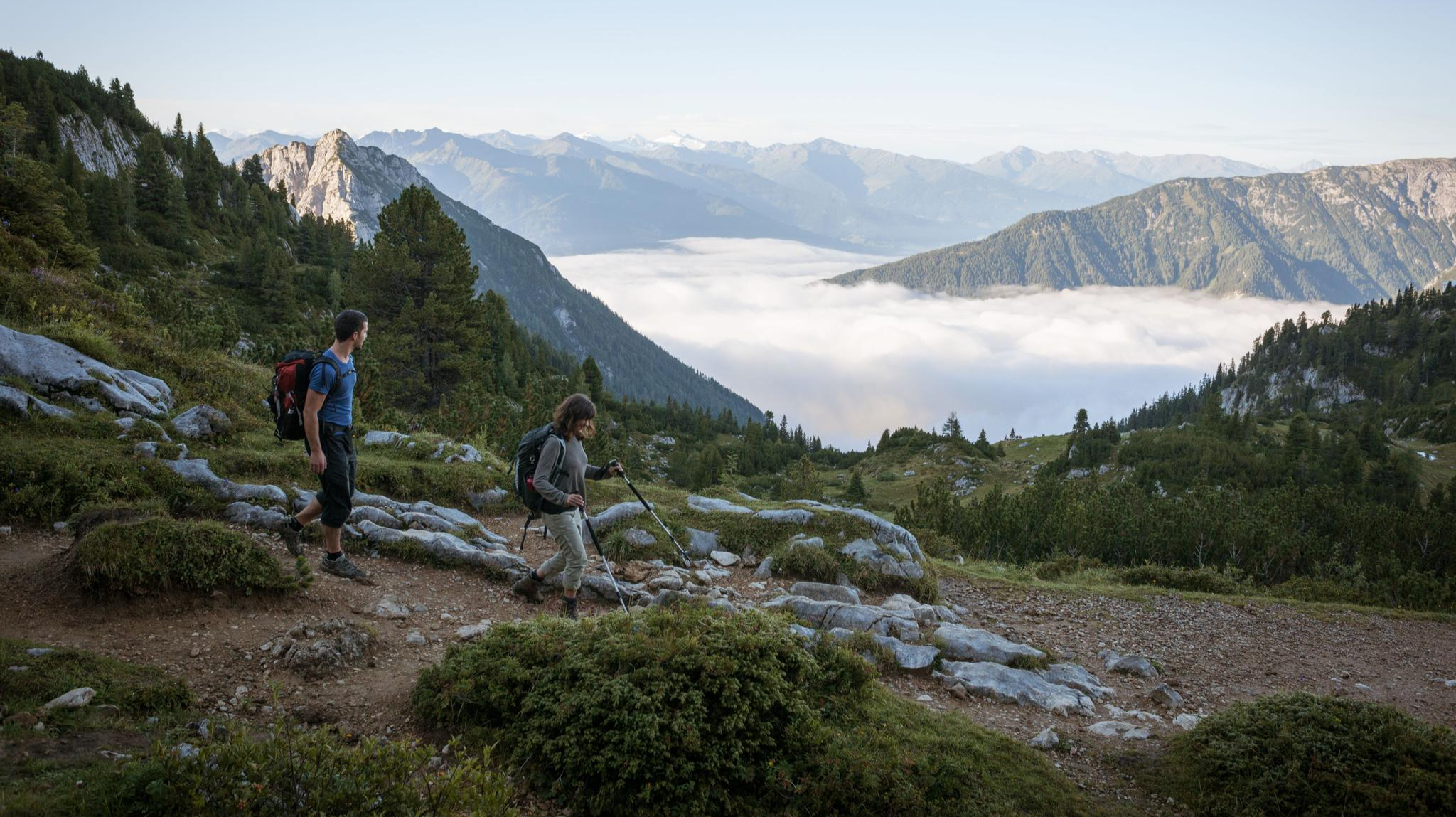
Eagle Walk – Majestic hiking along Tirol's trail
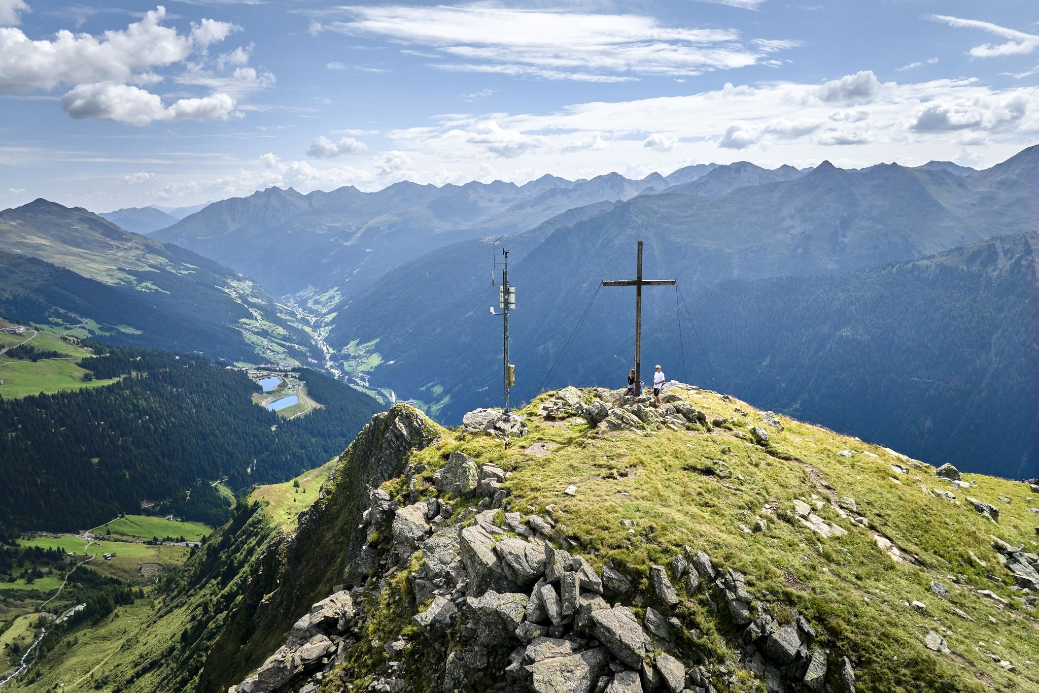
Paznauner High Trail – long-distance hike in 9 stages
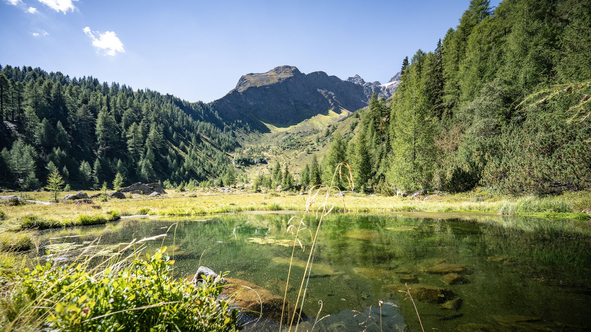
Wild water, light blue – mountain lake Tours in St. Anton am Arlberg
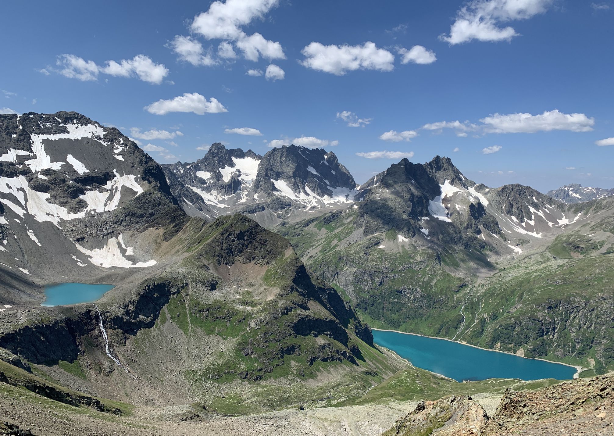
Wild and untouched – Austria’s Verwall-Runde hiking trail
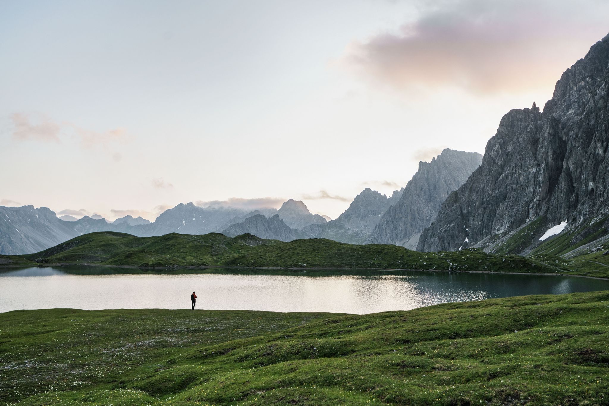
Hiking for human dynamos on the Lechtal Mountain Trail – Great Walks

An alpine adventure – from east to west through Austria
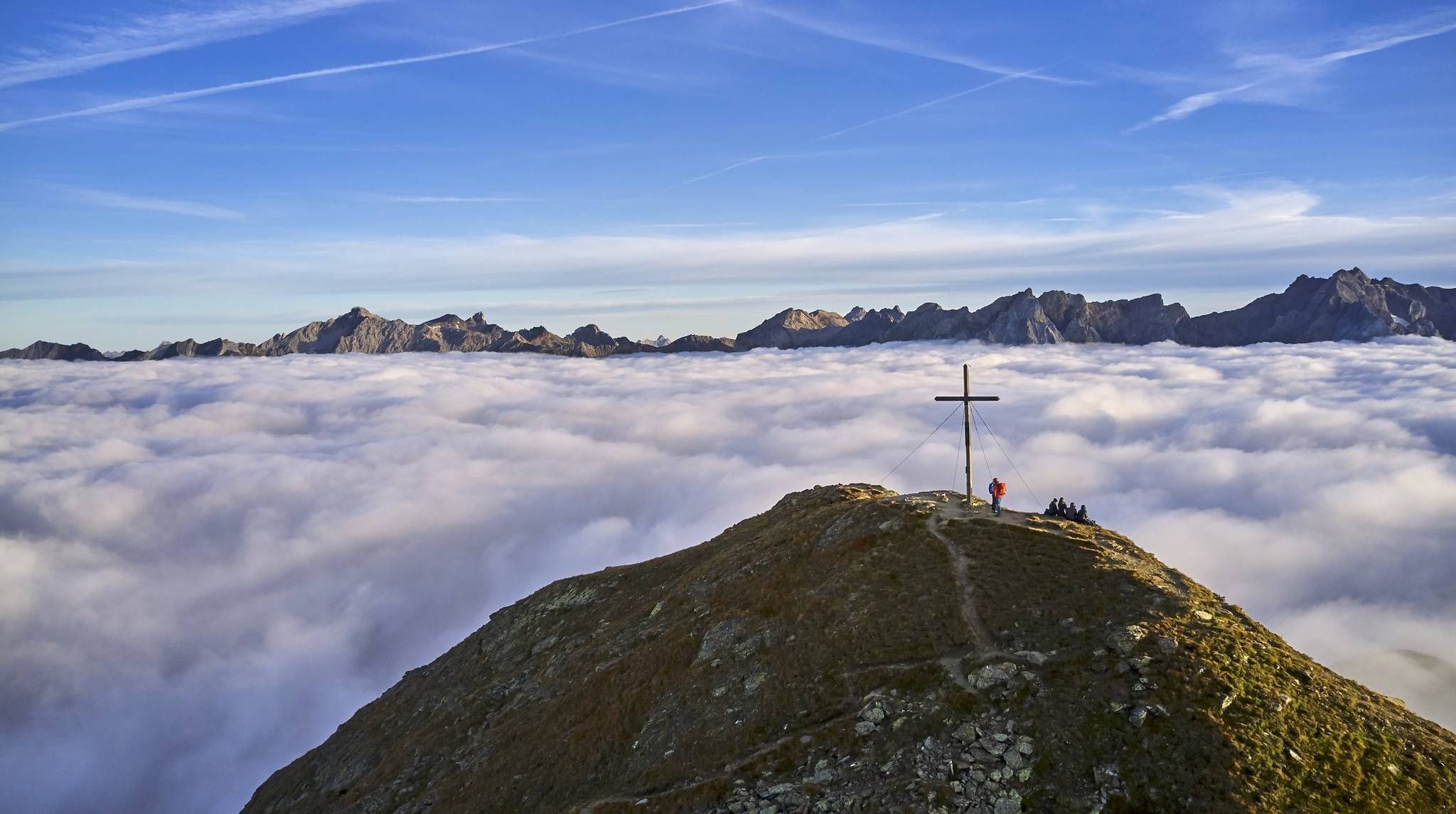
Hiking the Paznauner High Trail in 9 stages
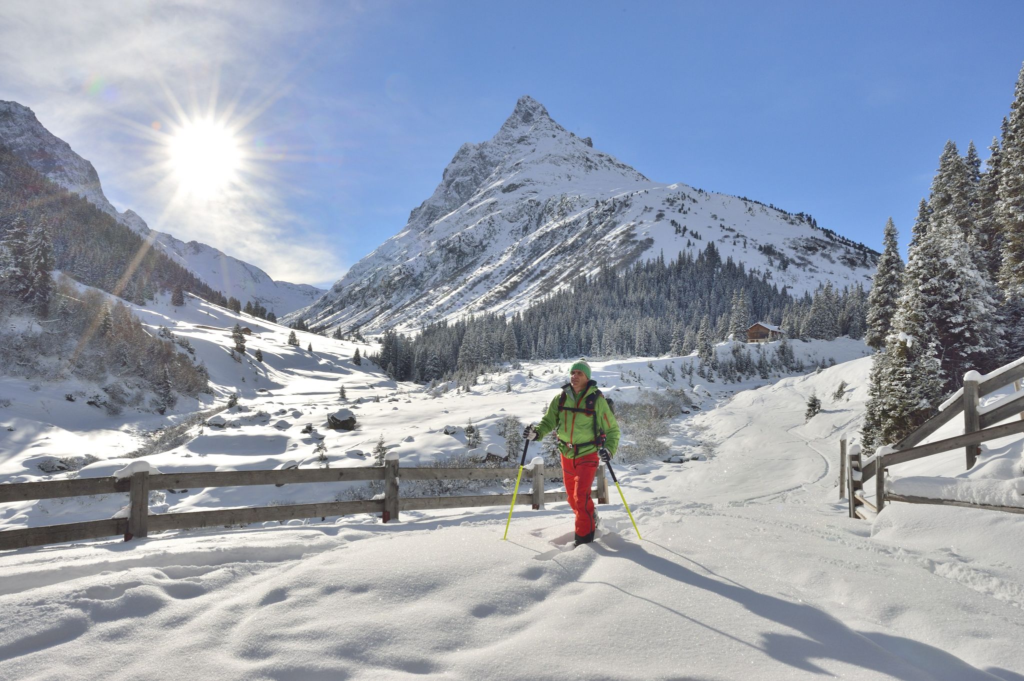
Find the snow! Winter hiking in Vorarlberg and on the Arlberg in Austria
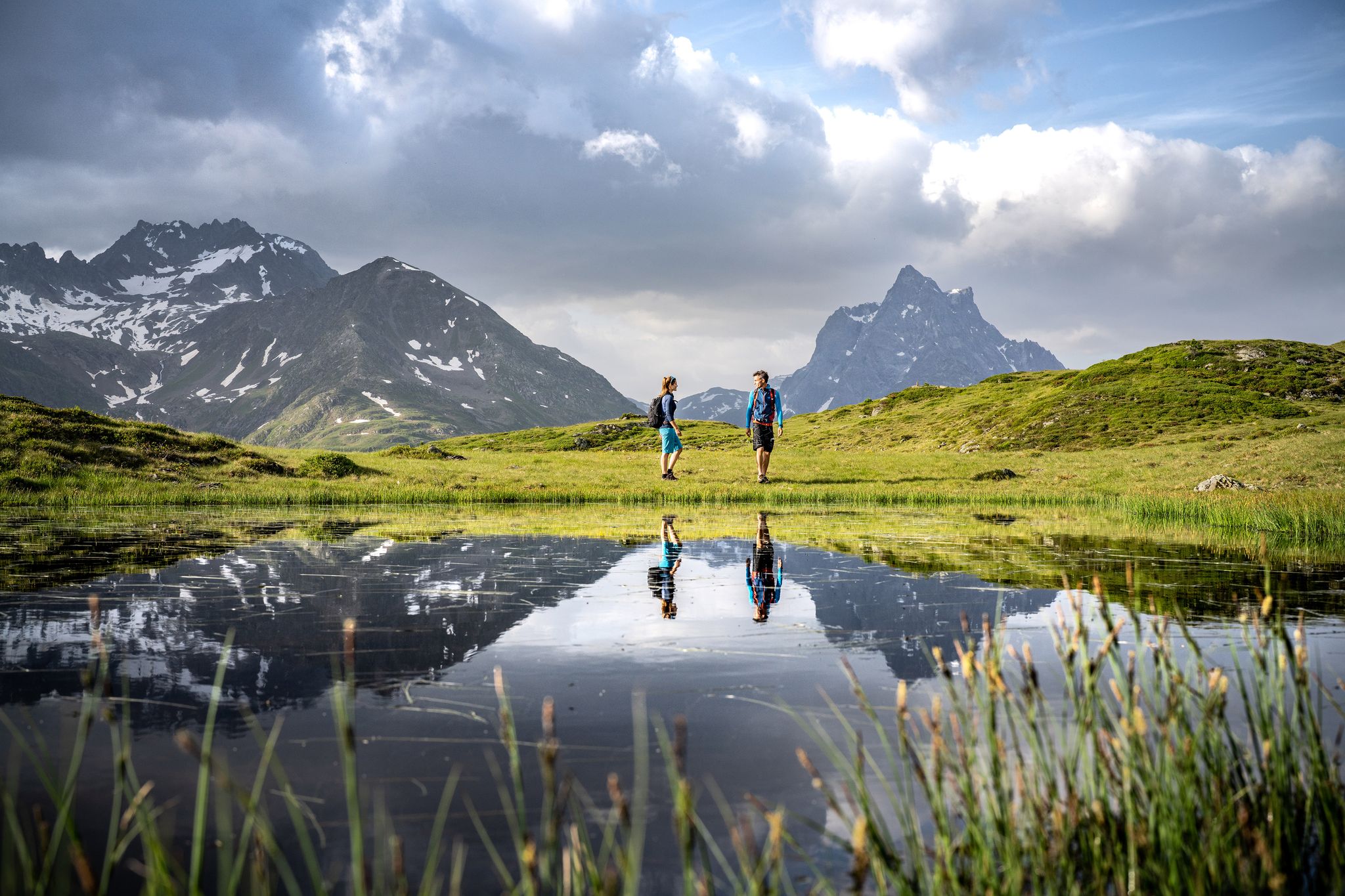
Enjoy the beauty around St. Anton am Arlberg - 12 day hikes
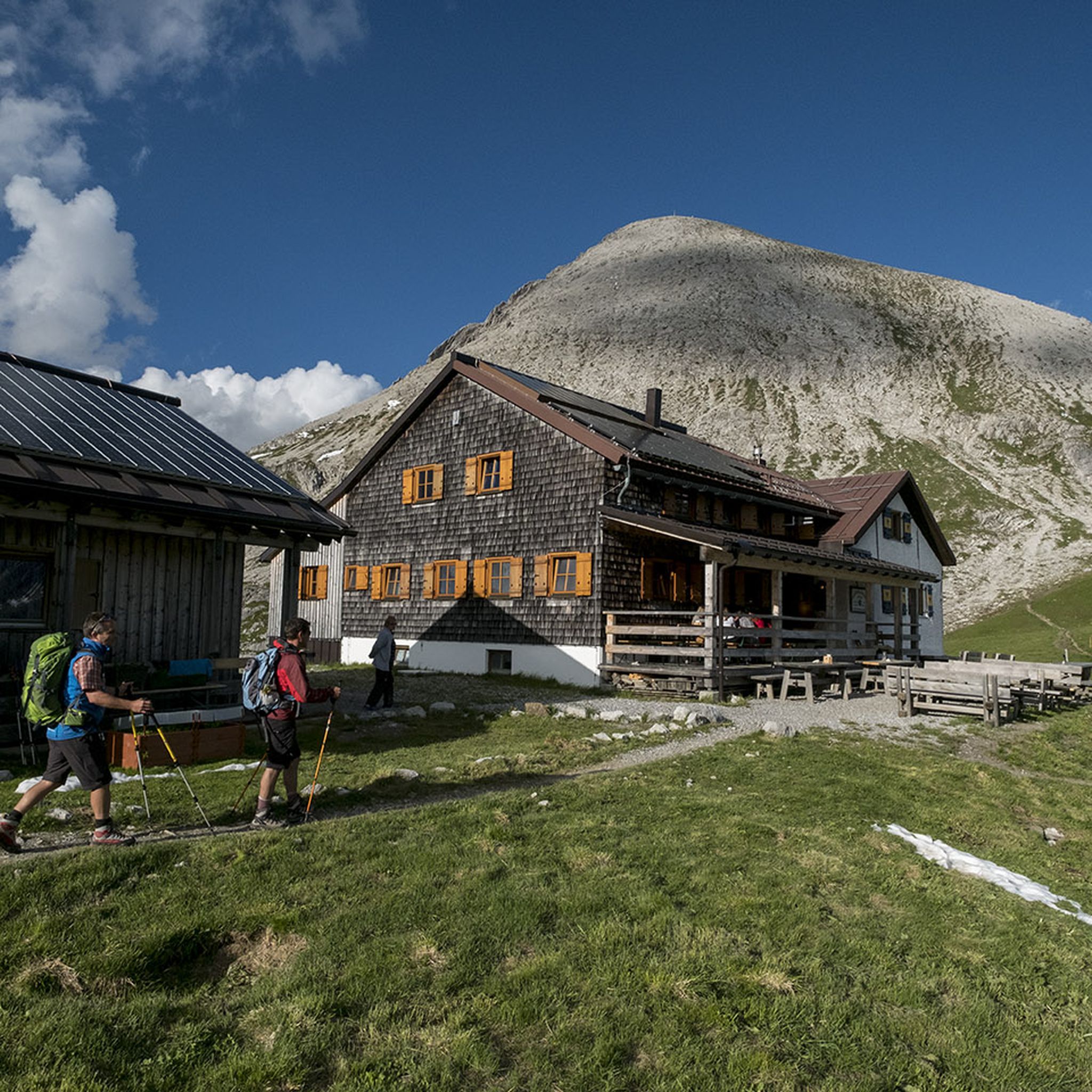
Hiking around Pettneu am Arlberg
Other adventures around Pettneu am Arlberg


Tips from the Community

Art on the way, a beautiful idea and entertaining
0
0


This bridge is located at the end of the Verwalltal valley at the Salzhaus. The bus also goes here.
2
0

Beautiful wooden bridge over the Rosanna for pedestrians and cyclists below the large railway bridge on which the Arlberg Railway runs.
0
0

A welcome opportunity to take a break before the climb.
3
0
The new Rendlbahn takes you up to the Alpenrosenweg and other trails quite quickly.
1
0
A relaxing place in summer, fully booked and very busy in winter.
1
0

Frequently Asked Questions
How many running routes are available in Pettneu am Arlberg?
Pettneu am Arlberg offers a wide selection of running routes, with over 120 trails available. These range from easy riverside paths to more challenging mountain runs, catering to various fitness levels.
What do other runners say about the trails in Pettneu am Arlberg?
The running trails in Pettneu am Arlberg are highly regarded by the komoot community, boasting an average rating of 4.6 stars from over 90 reviews. Runners frequently praise the diverse terrain, stunning alpine scenery, and well-maintained paths along the Rosanna River and through the Stanzertal valley.
Are there easy running routes suitable for beginners in Pettneu am Arlberg?
Yes, Pettneu am Arlberg has several easy running routes perfect for beginners or those looking for a relaxed run. The Galzigbahn Valley Station – Bridge Over the Rosanna loop from Wildruhefläche Nessler is a moderate 9.9 km trail that follows the Rosanna River, offering a scenic and relatively flat experience.
What about more challenging running trails for experienced runners?
For experienced runners seeking a challenge, Pettneu am Arlberg offers numerous difficult trails. The St. Anton am Arlberg – Galzigbahn Valley Station loop from Wildruhefläche Rendl is a difficult 15.4 km path with rewarding views of the alpine landscape. Another option is the Nessleralm – Hirschenbad Biotope loop from Pettneu am Arlberg, a challenging 10.3 km route with significant elevation gain.
Are there any longer running routes for endurance training?
Absolutely. For longer endurance runs, consider the Bridge Over the Rosanna – Along the banks of the Rosanna loop from Pettneu am Arlberg, which is an 19.2 km trail following the Rosanna River through the Stanzertal valley. Another excellent choice is the Sculpture Trail (St. Anton) – Verwallsee loop from Sankt Jakob am Arlberg, a 20.7 km route with notable elevation changes.
Can I find running routes that pass by natural attractions like gorges or waterfalls?
Yes, the region around Pettneu am Arlberg is rich in natural beauty. You can explore paths near the Rosanna Gorge, known for its 'mystical walking trail' and cascading waterfalls. The wildly romantic Schnann Gorge (Schnanner Gorge) also offers surrounding paths for exploration. The Rosanna Gorge Trail is a highlight in itself.
Are there circular running routes in the Pettneu am Arlberg area?
Many of the running routes in Pettneu am Arlberg are designed as loops, offering varied scenery without retracing your steps. Examples include the popular Galzigbahn Valley Station – Bridge Over the Rosanna loop and the longer Bridge Over the Rosanna – Along the banks of the Rosanna loop.
Are the running trails in Pettneu am Arlberg accessible by public transport?
Pettneu am Arlberg is well-integrated into the Stanzertal valley's transport network. Many routes, especially those along the Rosanna River and the Stanzertal cycle path, are accessible from various points in the villages, including Pettneu itself, St. Jakob, and Schnann, which are served by public transport.
Are there family-friendly jogging options in Pettneu am Arlberg?
The Stanzertal valley offers excellent family-friendly options. The paved Stanzertal cycle path, which is also part of an official running and Nordic walking route, provides an easier, panoramic route suitable for families to enjoy together. These paths generally have minimal elevation changes.
What is the best time of year for running in Pettneu am Arlberg?
The best time for running in Pettneu am Arlberg is generally from late spring to early autumn (May to October), when the weather is mild, and the alpine trails are clear of snow. Some paths, like the Rosanna Path, are also used for cross-country skiing in winter, offering opportunities for winter running depending on conditions.
Are there places to relax after a run in Pettneu am Arlberg?
After an active day on the trails, you can unwind at the Wellnesspark Arlberg Stanzertal in Pettneu. It features an indoor swimming pool, sauna, and solarium, providing perfect facilities for recovery and relaxation.
Can I bring my dog on the running trails in Pettneu am Arlberg?
Many trails in the Pettneu am Arlberg region are dog-friendly, but it's always advisable to keep your dog on a leash, especially in nature protection areas or near livestock. Please ensure you carry water for your dog and clean up after them to maintain the pristine environment.
Most popular routes around Pettneu am Arlberg
Most popular attractions around Pettneu am Arlberg

Get inspired with the komoot mobile app


Explore more
Browse the best Running Trails & Routes in other regions.
