The best running trails around Golling an der Erlauf
4.6
(97)
1,489
runners
160
runs
Jogging routes around Golling an der Erlauf traverse a landscape characterized by impressive mountains, scenic waterways, and lush valleys. The region features diverse terrain, from the flat paths along the Salzach River to more challenging routes in the foothills of the Hagengebirge and Tennengebirge mountains. Runners can find trails through wooded areas, past natural monuments like the Golling Waterfall, and around clear lakes in the Bluntautal Nature Reserve. This variety provides options for different running preferences and fitness levels.
Best jogging routes around Golling an der Erlauf
- The most popular jogging route is Sittenberger Reith loop from Golling an der Erlauf, a 5.2 miles (8.4 km) moderate trail that takes about 55 minutes to complete, offering a balanced run near the town.
- Another top favourite among local runners is Sittenberger Reith loop from Pöchlarn, a moderate 6.3 miles (10.2 km) path that can be completed in about 1 hour 8 minutes, featuring varied terrain.
- Local runners also love the Melk Hydroelectric Power Plant – Melk Power Plant loop from Pöchlarn, a 11.4 miles (18.3 km) trail leading through riverine landscapes, often completed in about 1 hour 55 minutes.
- Jogging around Golling an der Erlauf is defined by clear waterways, mountain reflections in lakes, and diverse forest paths. The network offers options for different ability levels, from easy riverside runs to more demanding trails with elevation gain.
- The routes in Golling an der Erlauf are highly rated by the komoot community with an average score of 4.7 stars from over 80 reviews. More than 1500 runners have used komoot to explore Golling an der Erlauf's varied terrain.
Last updated: July 1, 2026
5.0
(3)
52
runners
Hard run. Very good fitness required. Mostly paved surfaces. Suitable for all skill levels.
5.0
(1)
22
runners
10.3km
01:08
20m
20m
Moderate run. Good fitness required. Mostly paved surfaces. Suitable for all skill levels.

Sign up for free
21
runners
17.8km
01:55
40m
40m
Hard run. Very good fitness required. Mostly paved surfaces. Suitable for all skill levels.
5.0
(1)
16
runners
8.38km
00:56
20m
20m
Moderate run. Good fitness required. Mostly paved surfaces. Suitable for all skill levels.
5.0
(1)
8
runners
Hard run. Very good fitness required. Mostly paved surfaces. Suitable for all skill levels.
Get access to more routes and recommendations from other explorers.
Sign up for free
Already have an account?
Our route recommendations are based on thousands of hikes, rides, and runs completed by other people on komoot.
Start today with a free account
Your next adventure awaits.
Login or Signup
Tips from the Community

A detour to the town center of Pöchlarn is highly recommended for cyclists on the Danube Cycle Path. The center is easily accessible from the riverbank, usually in just a few minutes via short cycle paths or quiet streets. There, you can explore the charming old town, take a break at one of the cafes or restaurants, or visit a small shop. After your visit, the route leads easily back to the Danube Cycle Path, making this detour a perfect addition to a day trip.
2
0


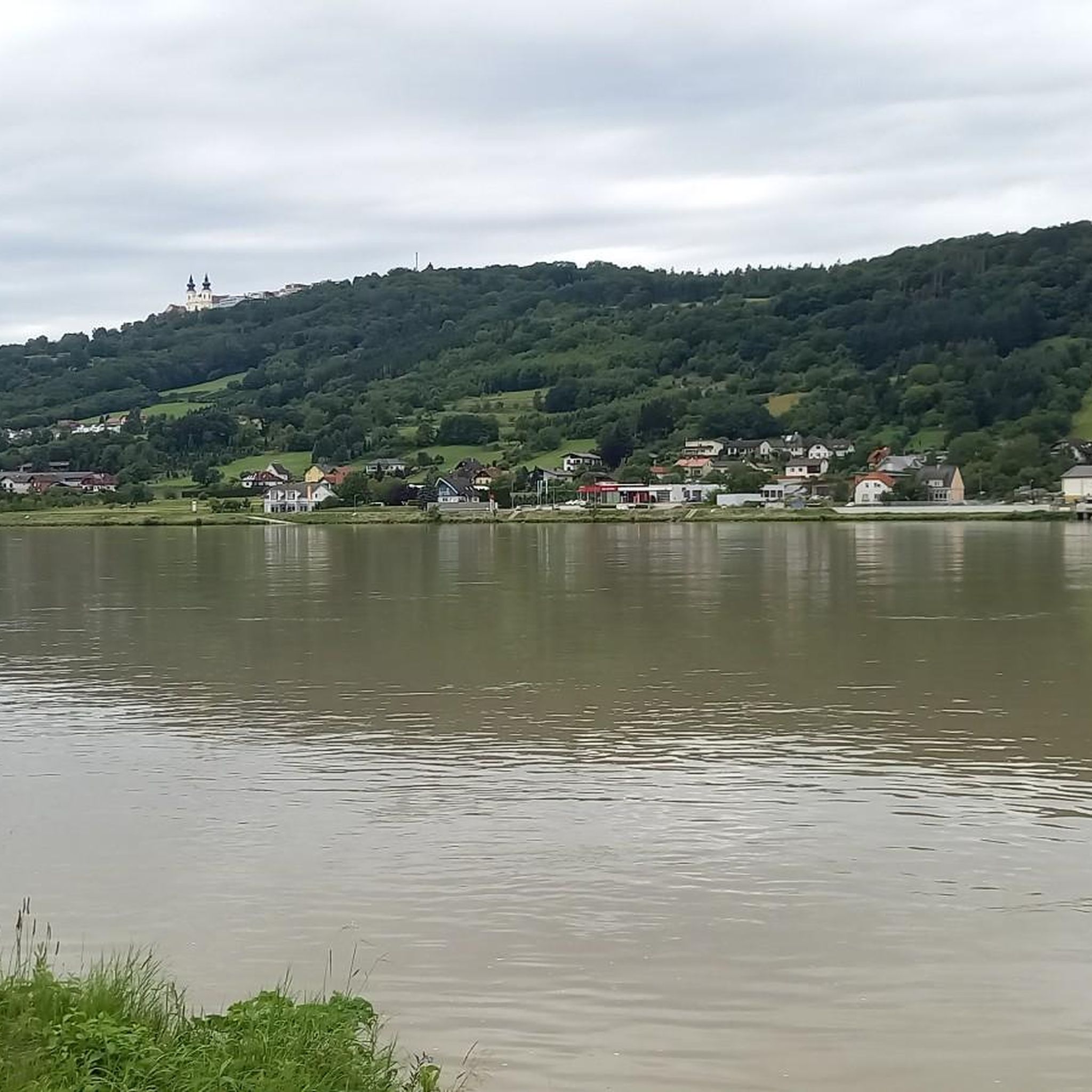
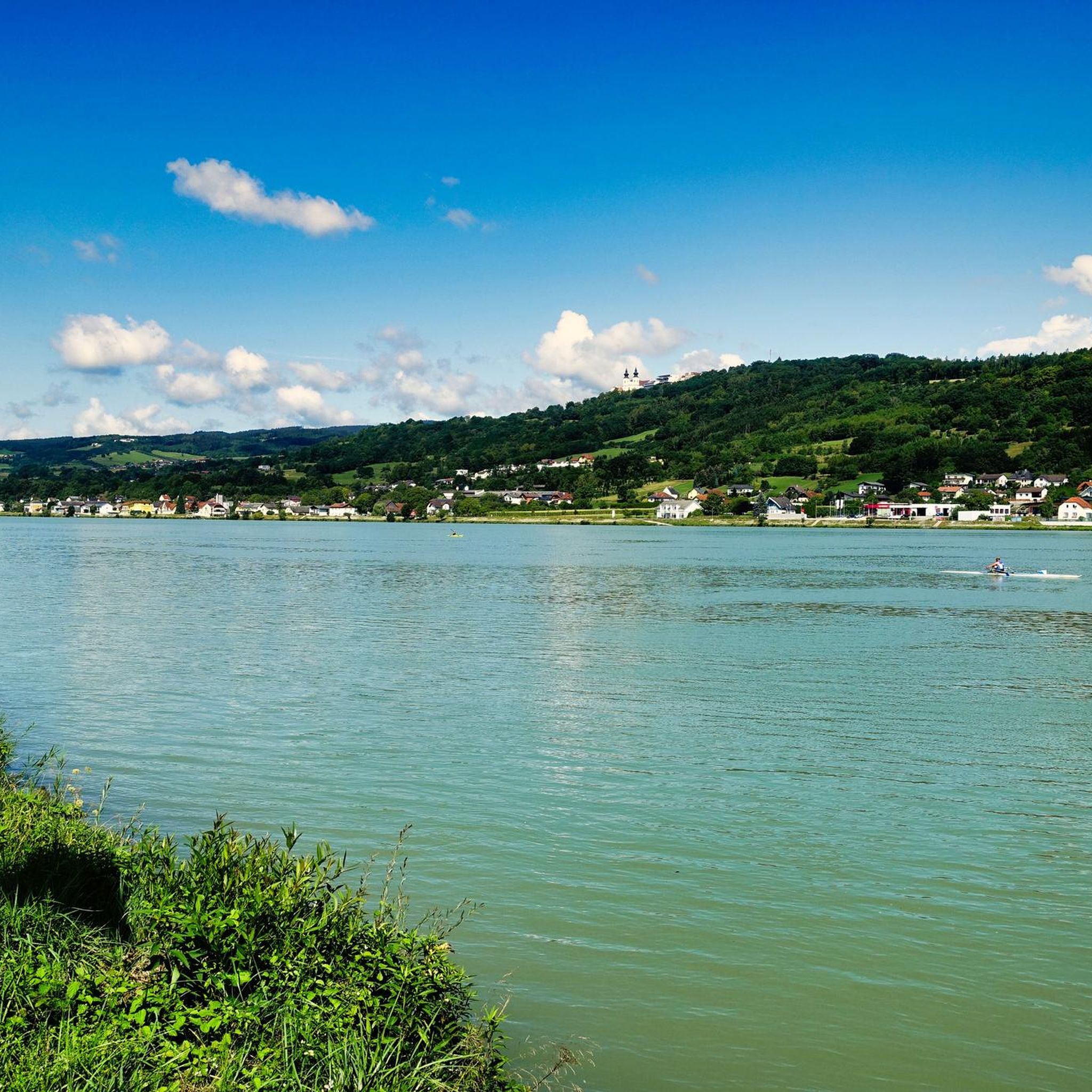
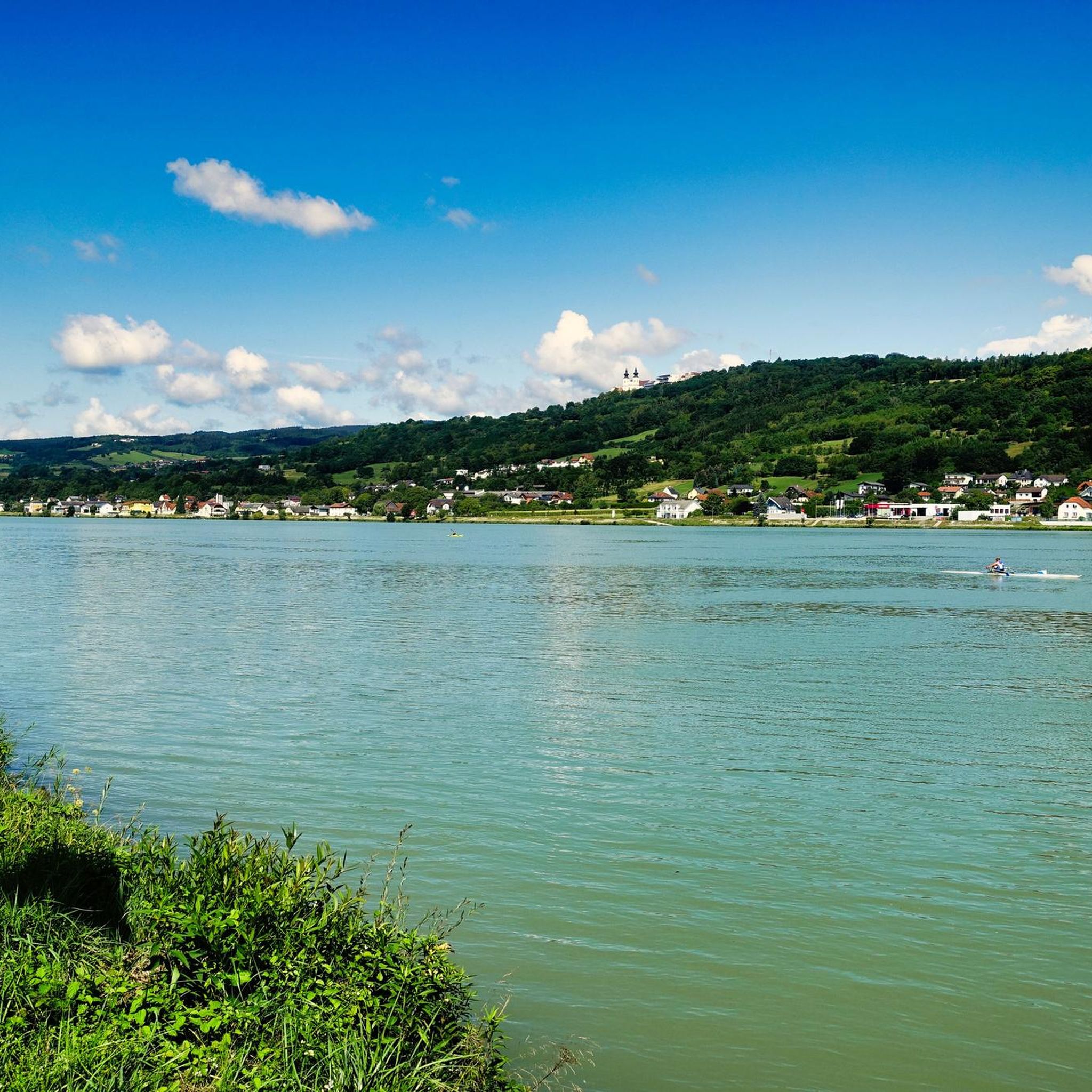
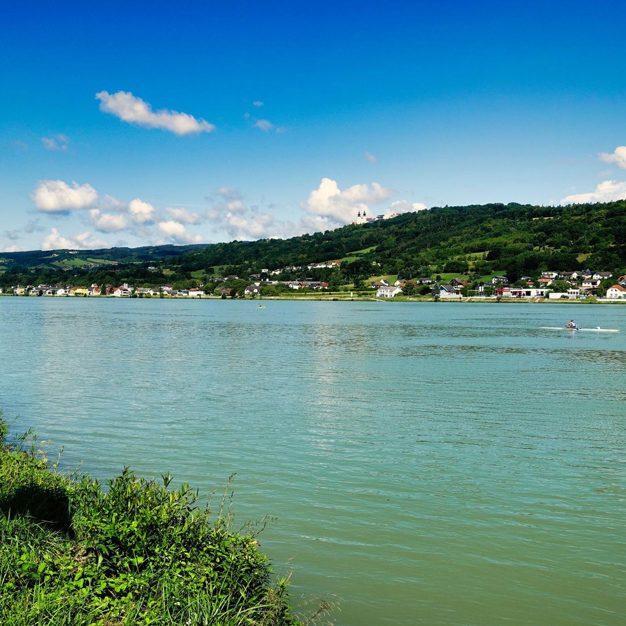
From the bridge you have a good view of Melk Abbey.
0
0

No wind at the Danube, you soon realize that you forgot the sunscreen ☀️
2
0
The bench is a perfect place to take a break and enjoy the view over the water.
2
0


Stopover with culinary delicacies
1
1
Frequently Asked Questions
How many running routes are available in Golling an der Erlauf?
Golling an der Erlauf offers a wide selection of running routes, with over 160 trails recorded on komoot. These range from easy riverside paths to more challenging mountain runs, catering to various fitness levels.
What kind of terrain can I expect on the jogging routes in Golling an der Erlauf?
The region provides diverse terrain for runners. You'll find flat, scenic paths along the Salzach River, wooded trails, and more demanding routes in the foothills of the Hagengebirge and Tennengebirge mountains. This variety ensures options for different running preferences and training opportunities.
Are there any easy or beginner-friendly running routes in the area?
Yes, Golling an der Erlauf has several easy routes perfect for beginners or those seeking a relaxed run. For instance, the Bluntautal Nature Reserve offers circular trails like the "Bluntautal Valley – Lakes Bluntau loop" (4.00km), which is categorized as an easy hike and ideal for jogging. Paths along the River Salzach also provide accessible, flatter options.
Can I find routes with significant elevation gain for a more challenging run?
Absolutely. While many routes offer gentle inclines, the region's proximity to the Hagengebirge and Tennengebirge mountains means there are challenging trails with notable elevation gain for experienced trail runners. These routes often lead through wooded mountain paths, providing a more strenuous workout.
What natural attractions or landmarks can I see along the running routes?
Many running routes in Golling an der Erlauf pass by stunning natural features and historical sites. You can run near the impressive Golling Waterfall, explore the crystal-clear waters of the Bluntautal Nature Reserve, or enjoy views of the dramatic Salzachöfen Gorge. Some routes also offer glimpses of historic sites like Persenbeug Castle or Melk Abbey.
Are there any circular running routes in Golling an der Erlauf?
Yes, many of the running routes in the area are circular, allowing you to start and end at the same point. A popular moderate option is the Sittenberger Reith loop from Golling an der Erlauf, which covers 8.4 km. Another longer circular route is the Pöchlarn – Pöchlarn Town Centre loop from Pöchlarn, spanning 17.8 km.
What do other runners say about jogging in Golling an der Erlauf?
The running routes in Golling an der Erlauf are highly regarded by the komoot community, with an average rating of 4.7 stars from over 80 reviews. Runners often praise the varied terrain, the stunning natural beauty, and the well-maintained paths that cater to different ability levels.
Are there any long-distance running trails for endurance training?
For those looking for longer runs, Golling an der Erlauf offers several extended routes. The Melk Hydroelectric Power Plant – Melk Power Plant loop from Pöchlarn is a challenging 18.3 km trail, while the Steinbach Gorge – Restaurant "Zur Alten Fähre" loop from Marbach an der Donau provides another demanding option at 11.2 km.
Are the running routes in Golling an der Erlauf suitable for families?
Yes, several routes are family-friendly. The Egelsee Pond and Seasons Path recreational area, for example, features a path perfect for short walks and is designed to playfully introduce visitors to nature. The "Golling Castle – Egelsee Pond loop" (6.55km) is a moderate route suitable for a family run.
What are some good options for parking near the running trails?
Parking availability varies by trail. Many popular trailheads, especially those leading to attractions like the Golling Waterfall or within the Bluntautal Nature Reserve, typically have designated parking areas. It's advisable to check specific route details on komoot for parking information related to your chosen trail.
Can I access running routes using public transport?
Golling an der Erlauf is generally well-connected, and some running routes are accessible via public transport. The town itself has train and bus connections, and certain trailheads might be within walking distance or a short bus ride from public transport stops. Checking local bus schedules and route starting points is recommended.
Are there any specific viewpoints along the running trails?
Yes, the region boasts several viewpoints offering spectacular vistas. You can find highlights like the View of Maria Taferl from the Danube cycle path near Krummnussbaum or the Naturfreundestein, which can be incorporated into your running routes for a scenic break.
Most popular routes around Golling an der Erlauf
Most popular attractions around Golling an der Erlauf

Get inspired with the komoot mobile app


Explore more
Browse the best Running Trails & Routes in other regions.
