Routes

Planner

Features

Updates

App

Login or Signup

Get the App

Login or Signup

Routes
Hikes

United States

Routes
Hikes

United States

The best walks and hikes in the United States of America

4.6

(1923)

29,809

hikers

74,015

hikes

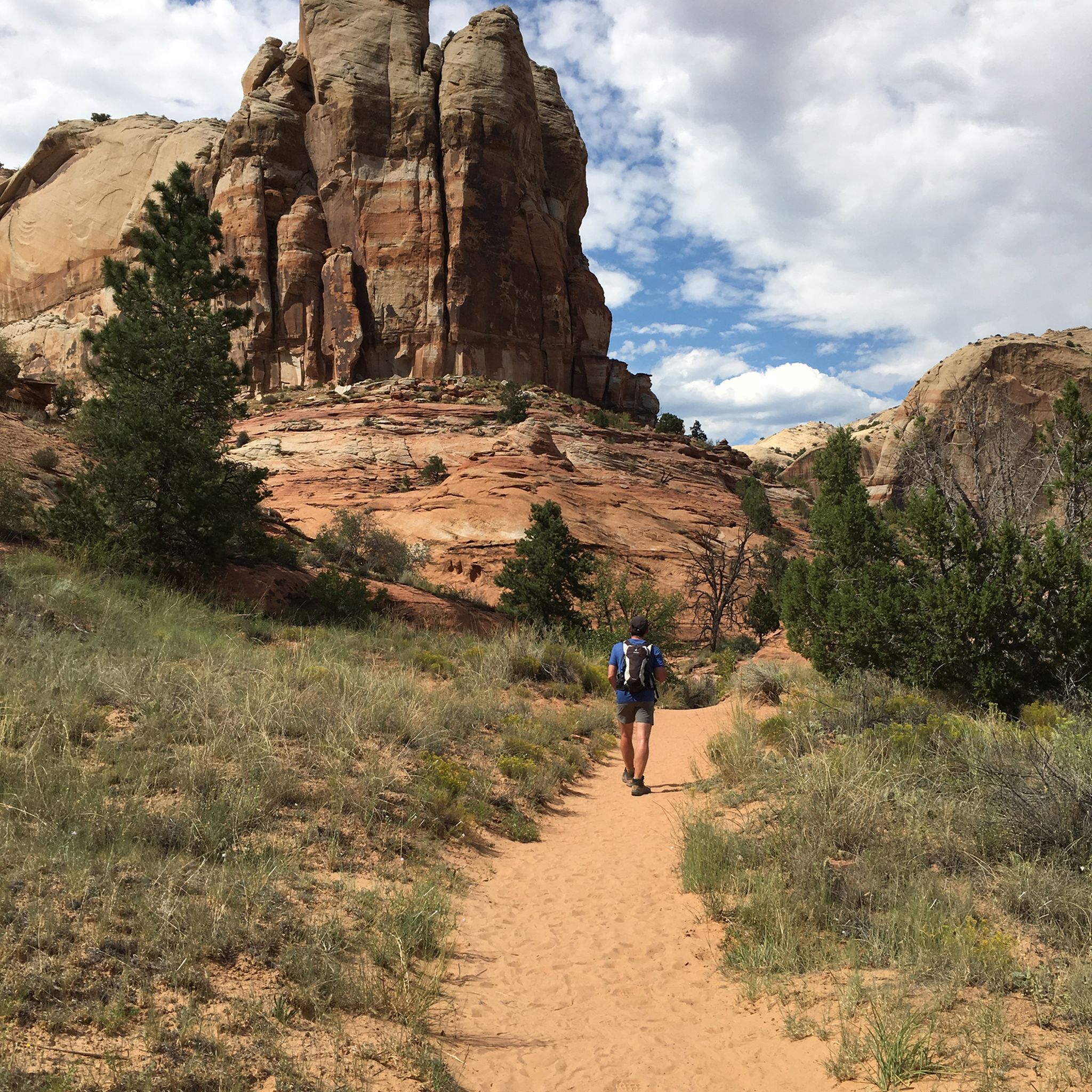
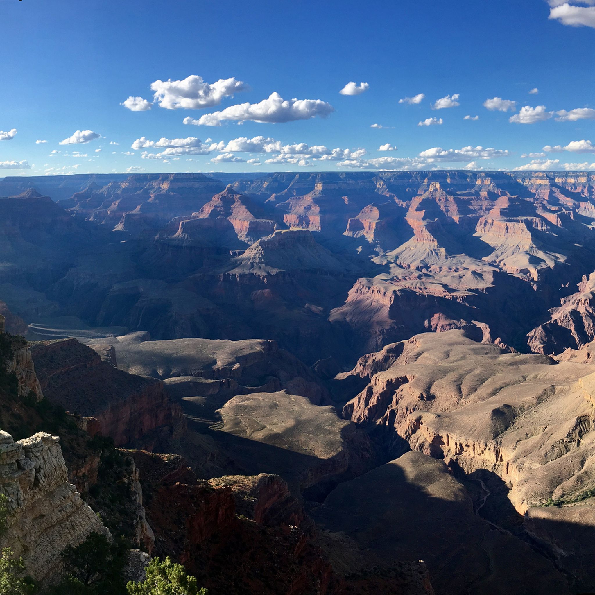
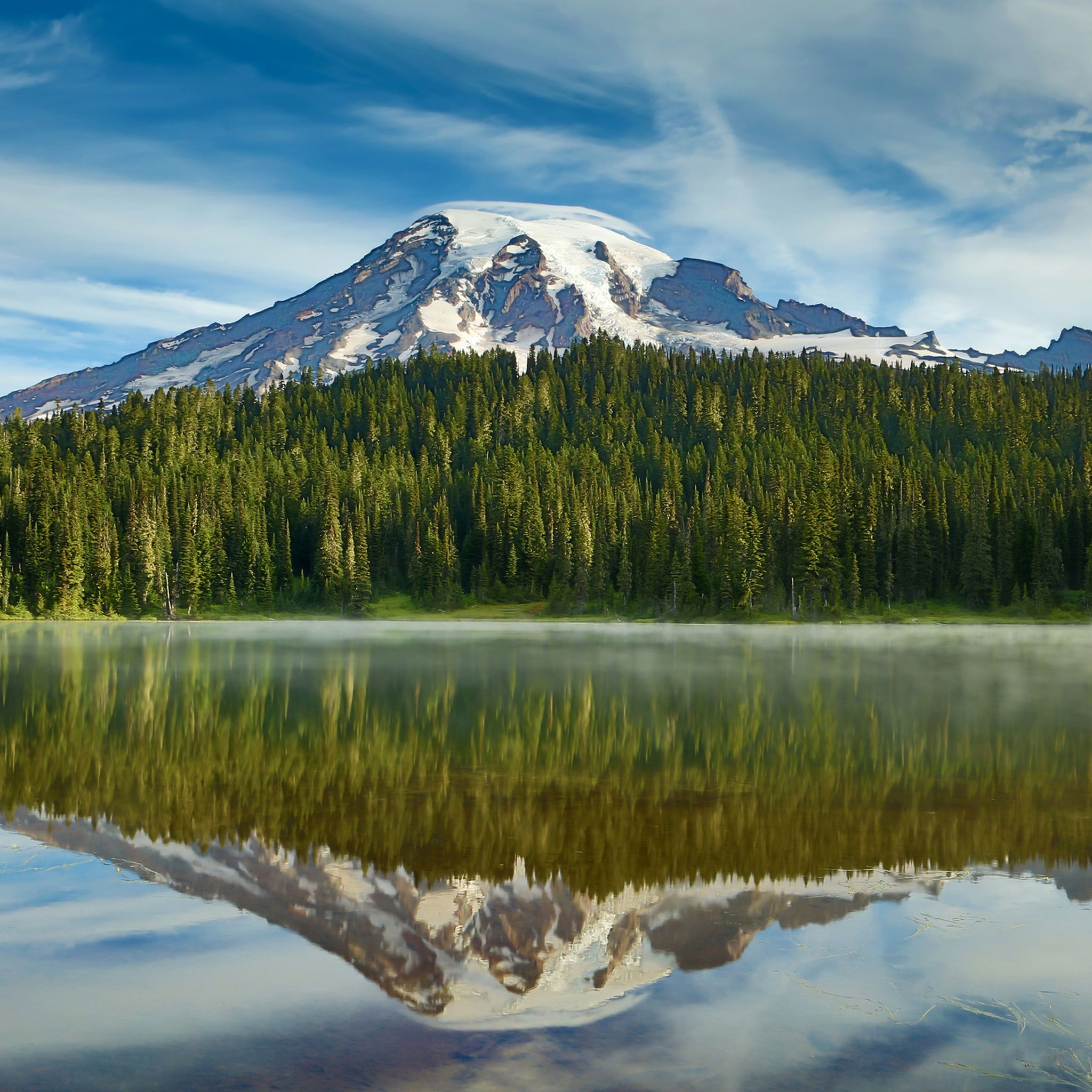
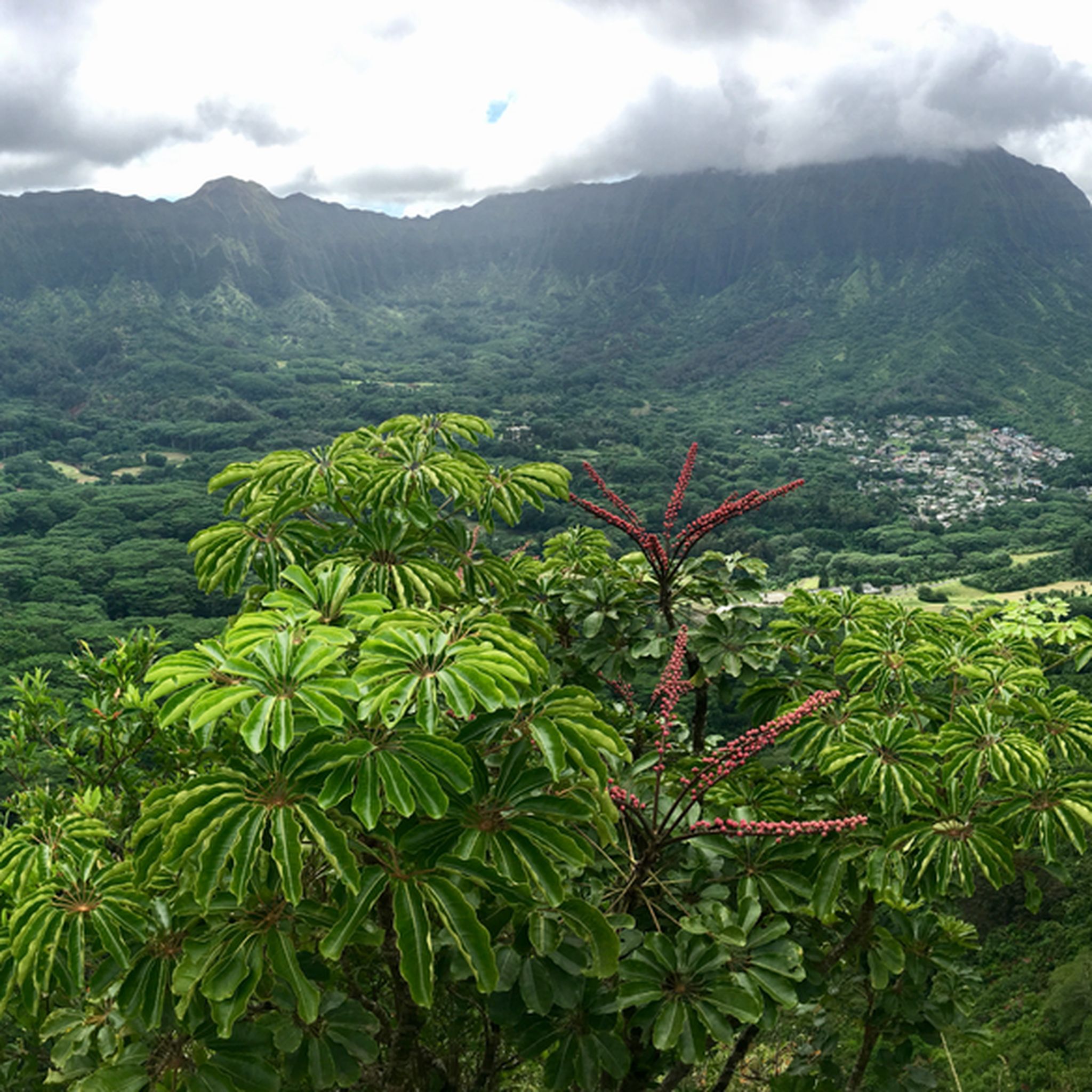
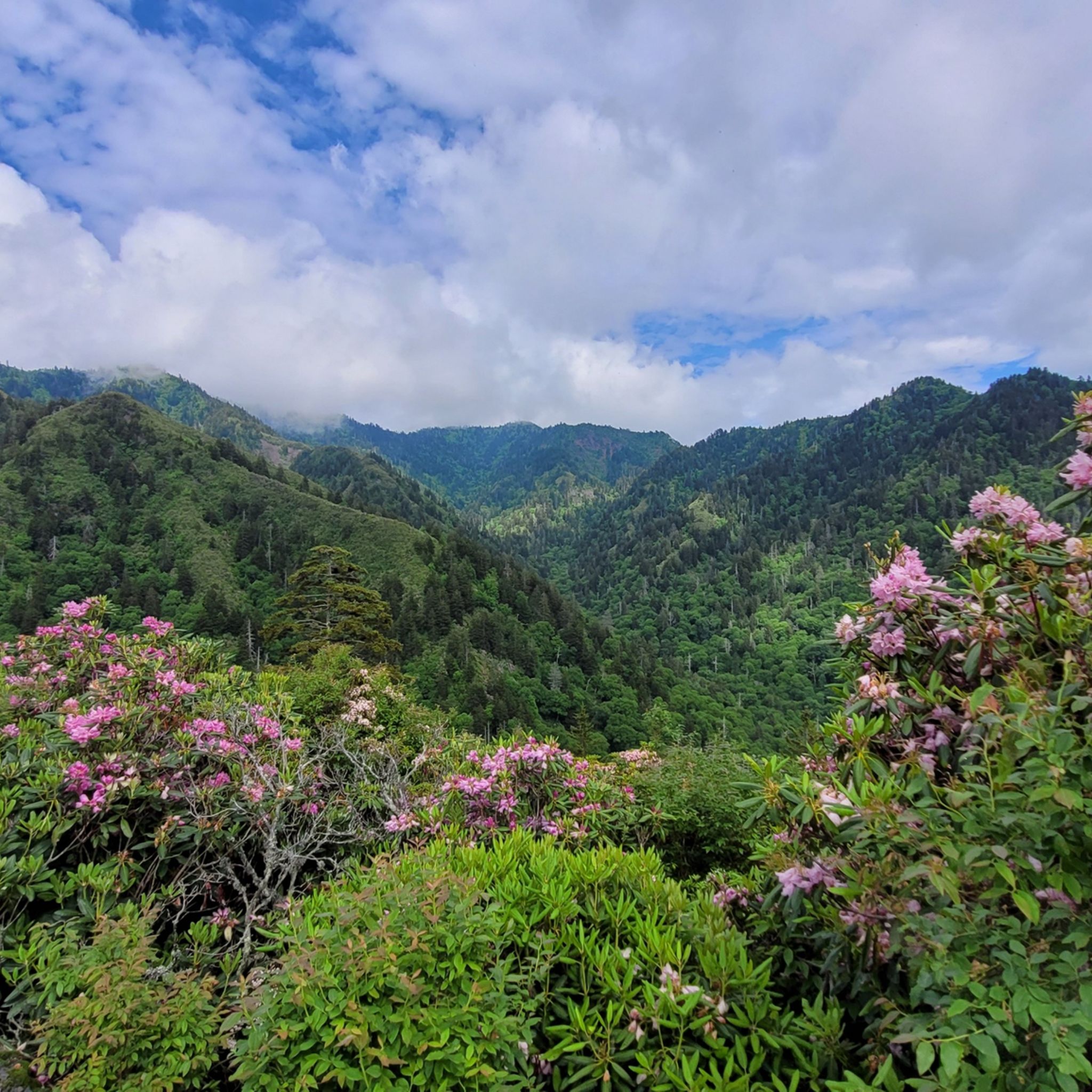
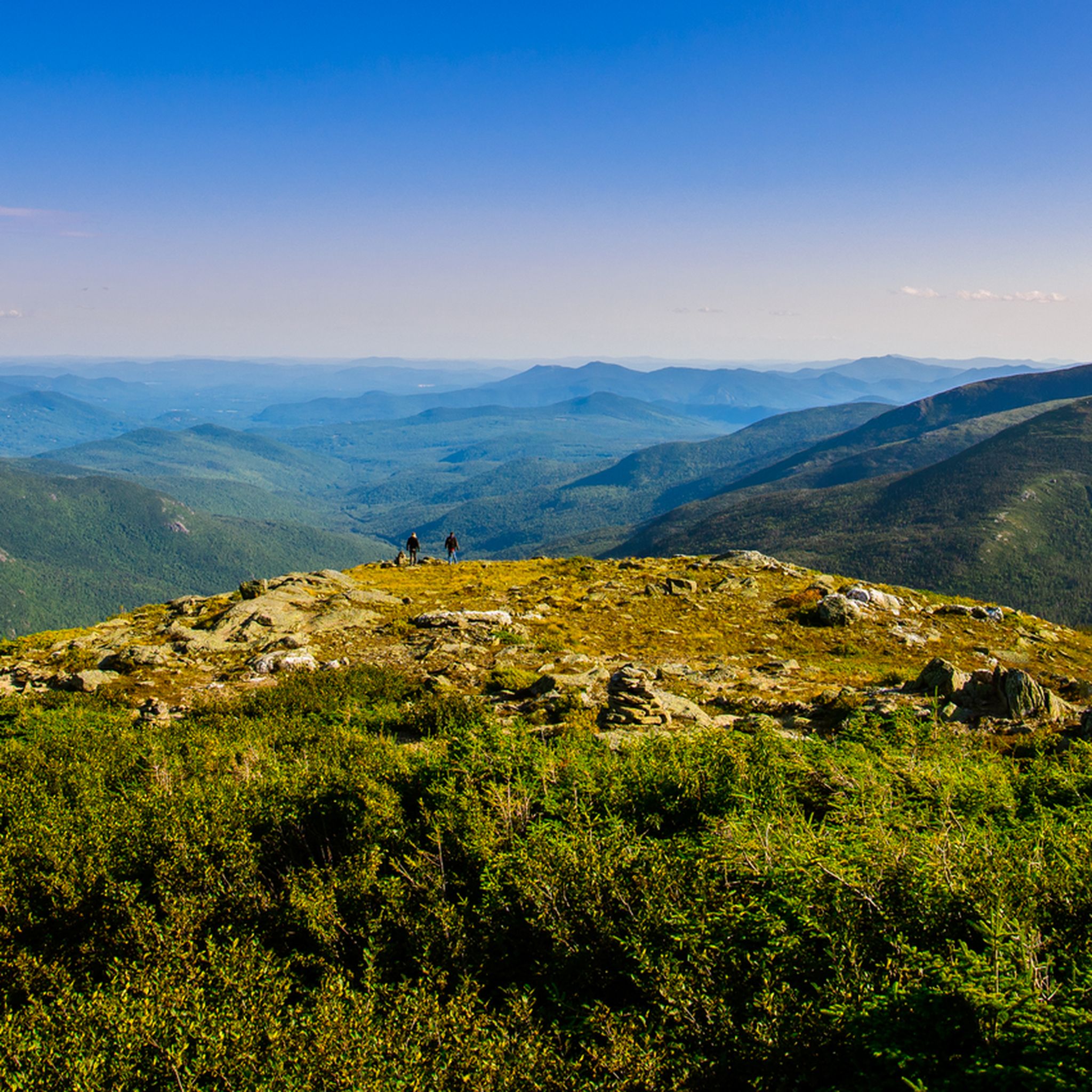
Hiking in the United States of America offers access to diverse landscapes, from towering mountain ranges and expansive deserts to lush forests and dramatic coastlines. The country features a vast network of trails across its many national parks and wilderness areas. Hikers can explore rugged peaks, alpine lakes, red rock formations, and ancient forests. This geographical variety provides a wide range of experiences for all levels of outdoor activity.

Best hiking trails in the United States of America

  • The most popular hiking route is Navajo and Queen's Garden Loop — Bryce Canyon National Park, an easy 3.3 miles (5.3 km) trail that takes about 1 hour 37 minutes to complete, winding through unique hoodoo formations.
  • Another top favourite among local hikers is Vernal Falls and Nevada Falls loop from Curry Village — Yosemite National Park, a difficult 8.4 miles (13.4 km) path offering views of two major waterfalls.
  • Local hikers also love the Delicate Arch from Wolfe Ranch — Arches National Park, a 3.3 miles (5.3 km) trail leading through desert terrain to a prominent natural arch, often completed in about 1 hour 56 minutes.
  • Hiking in the United States of America is defined by mountain ranges, desert canyons, and coastal paths. The extensive network of routes offers options for various ability levels, from short walks to multi-day expeditions.
  • The routes in United States are highly rated by the komoot community with an average score of 4.7 stars from over 13,000 reviews. More than 213,000 hikers have used komoot to explore United States's varied terrain.

Last updated: July 10, 2026

4.9

(706)

6,181

hikers

#1.

Queen's Garden and Navajo Loop Trail

5.34km

01:37

190m

190m

The Queen's Garden and Navajo Loop Trail offers an immersive journey into the heart of Bryce Canyon's iconic amphitheater, winding among thousands of unique hoodoo formations. You'll descend into a landscape of vibrant orange and pink spires, getting up close to famous landmarks like Thor’s Hammer and the delicate Queen's Garden Hoodoos. The trail provides a constant visual feast, making it one of the most rewarding easy hikes in the park.

This popular route is an easy 3.3-mile (5.3 km) loop with 609 feet (186 metres) of elevation gain, typically taking about 1 hour and 37 minutes to complete. To make the most of your visit, aim to start early in the morning or later in the afternoon to avoid crowds and enjoy cooler temperatures. Parking at the trailhead can fill up quickly, so arriving early is key for a smooth start to your adventure.

As one of Bryce Canyon National Park's signature trails, this loop is an excellent introduction to the park's unique geology and offers a fantastic opportunity for photography. It's a family-friendly option that provides a deep dive into the canyon's features without requiring advanced hiking skills. Consider combining it with other viewpoints along the rim for a full day of exploration.

Navigate with device

Send to Phone

Save

Easy

4.9

(659)

5,202

hikers

The Vernal and Nevada Falls via Mist Trail is a challenging 8.3-mile (13.4 km) hike in Yosemite National Park, gaining 2221 feet (677 metres) over an estimated 5 hours and 18 minutes. This difficult route immerses you in the power of two major waterfalls, Vernal and Nevada Falls, as you ascend steep granite steps carved into the cliffside. The trail is renowned for its close-up views and the drenching mist from Vernal Fall, creating rainbows on sunny days.

To tackle this popular route, plan an early morning start to avoid the crowds, especially if you are aiming for the top of Nevada Fall. During spring and early summer, the mist from Vernal Fall is intense, so waterproof clothing is highly recommended. The trailhead is easily accessible, but parking can fill up quickly, making an early arrival essential for a smoother experience.

Considered one of Yosemite's most popular trails, the Mist Trail offers an unforgettable experience, particularly the unique granite staircase alongside Vernal Fall. While the initial section to Vernal Fall can be very busy, the crowds tend to thin out on the more strenuous climb to Nevada Fall. You can also opt to return via the John Muir Trail, which provides a different perspective and a less steep descent, making for a scenic loop.

Hard
guide_signup
Let us show you the way with the komoot mobile app
With a free komoot account, you can easily find, customize, and navigate endless outdoor adventures.

Sign up for free

4.9

(311)

5,196

hikers

5.28km

01:56

170m

170m

The Delicate Arch Trail offers an unforgettable journey through Arches National Park's dramatic red rock landscape, leading to Utah's most iconic natural arch. You'll navigate a varied terrain, starting on a relatively flat path before ascending a steep, exposed slickrock slope marked by cairns, with stunning panoramic views unfolding around you. The route winds through desert scrub, sandstone fins, and spires, eventually revealing the magnificent Delicate Arch, often framed by the nearby Frame Arch.

Planning your visit requires careful consideration of the elements. This 3.3-mile (5.3 km) hike, with 544 feet (166 metres) of elevation gain and an estimated duration of 1 hour and 55 minutes, is rated moderate but can feel strenuous due to the lack of shade and significant climb. In summer, temperatures often exceed 100 degrees Fahrenheit, necessitating early morning or late afternoon starts and plenty of water. Winter hikers should be prepared for ice and snow on steep sections, requiring traction devices.

Delicate Arch is not just a geological wonder; it's a symbol of Utah, standing 46 feet high and 32 feet wide. Along the trail, you'll also encounter historical landmarks like the Wolfe Ranch cabin and ancient Ute Indian petroglyphs, adding cultural depth to the natural beauty. The trail culminates in a natural amphitheater where you can admire the arch, making it a truly rewarding experience despite its popularity.

Moderate

4.9

(360)

4,708

hikers

7.20km

03:41

530m

530m

The Angels Landing Trail is a truly unique and difficult hike in Zion National Park, offering an exhilarating journey to one of the park's most spectacular viewpoints. This 4.5-mile (7.2 km) route involves a significant 1737 feet (530 metres) of elevation gain, typically taking about 3 hours and 41 minutes. You'll navigate challenging terrain, including the famous Walter's Wiggles switchbacks and an exposed final ascent to the Angels Landing summit, where chains are bolted into the rock to assist hikers.

Planning your visit requires careful attention to the Angels Landing Trail permit system; permits are mandatory to hike past Scout Lookout and are secured through a lottery on Recreation.gov. Given the extreme exposure and narrow path, avoid hiking during wet weather, storms, or high winds, as conditions can become very dangerous. The trail is not suitable for those with a fear of heights or young children, and it's best to start early from the Grotto trailhead.

What makes Angels Landing so notable is its iconic chain section, an impressive engineering feat first installed in 1926, providing stability on the final, thrilling push to the 5,790-foot (1,760 m) summit. From the top, you're rewarded with a breathtaking 360-degree panorama of Zion Canyon's rugged spires and ancient rock layers. This hike is a true test of physical and mental fortitude, offering an unparalleled adventure for experienced hikers.

Hard

4.9

(147)

1,186

hikers

8.51km

03:54

590m

590m

The Mist Trail is a truly immersive hiking experience, taking you right into the heart of Yosemite's powerful waterfalls. You'll navigate over 600 granite steps carved into the cliffside, feeling the refreshing spray from Vernal Fall as you ascend. The journey continues past the stunning Emerald Pool and Silver Apron, leading you to the majestic Nevada Fall, with continuous dramatic vistas of the Merced River and distant views of Liberty Cap and Half Dome.

This moderate 5.3-mile (8.5 km) hike involves a significant 1947 feet (593 metres) of elevation gain, typically taking around 3 hours and 54 minutes. Be prepared for a strenuous climb on often wet and slippery steps, especially during spring runoff. The trail is easily accessed by shuttle, but if you're driving, plan for early arrival as Mist Trail parking can be challenging. Good traction footwear is a must for this adventure.

Considered Yosemite's signature hike, the Mist Trail is renowned for its unparalleled access to two magnificent waterfalls, Vernal and Nevada Falls, which together drop over 900 feet. It's a must-do for anyone seeking a challenging climb combined with awe-inspiring natural beauty, making it one of the top rated hikes in Yosemite Valley.

Moderate

4.9

(147)

1,186

hikers

8.51km

03:54

590m

590m

The Mist Trail plunges you into the heart of Yosemite's raw power, delivering a sensory overload of thundering waterfalls and drenching mist. This moderate 5.3-mile (8.5 km) hike, with its 1947 feet (593 metres) of elevation gain, leads you up steep granite steps to the base of Vernal Fall, where you'll feel the full force of the spray. Continuing on, the trail winds past the serene Emerald Pool and Silver Apron before reaching the impressive Nevada Fall, offering a truly unforgettable experience over roughly 3 hours and 54 minutes.

To tackle this popular route, you'll want to use the park shuttle to reach the trailhead, as parking can be scarce. Be prepared for crowds, especially during peak season, and know that the granite steps can be wet and slippery from the constant mist, particularly in spring and early summer. Good traction footwear is essential, and a waterproof layer will keep you comfortable as you get up close to the falls.

What makes the Mist Trail truly stand out is its unique

Moderate

The Vernal Fall and Clark Point Loop via Mist Trail and John Muir Trail offers an immersive Yosemite experience, taking you from the banks of the Merced River to the thundering spray of Vernal Fall. You'll navigate granite steps and forested paths, with the highlight being the powerful waterfall and the serene Emerald Pool. The trail culminates at Clark Point, where you're treated to expansive views of Nevada Fall and Half Dome, making the sustained climb well worth the effort.

To plan your visit, head to the Happy Isles Nature Center, the starting point for this adventure. Parking can be challenging, so an early start or utilizing Yosemite's shuttle service is highly recommended. This moderate 6.4-mile (10.3 km) loop, with its 1506 feet (459 metres) of elevation gain, typically takes around 3 hours and 49 minutes, so bring ample water and snacks. Spring offers the most dramatic waterfall flows, while fall provides cooler temperatures and clearer skies.

This loop is a quintessential Yosemite hike, combining the thrill of the Mist Trail's close encounter with Vernal Fall with the panoramic rewards of Clark Point. It's a fantastic way to experience two of Yosemite's most famous waterfalls and gain a unique perspective on the valley's grandeur, including distant views of Half Dome. The route provides a good challenge for those seeking a rewarding day hike in the heart of the park.

Moderate

4.9

(46)

917

hikers

1.71km

00:29

30m

30m

The Canyon Overlook Trail offers an incredible effort-to-reward ratio, guiding you through diverse terrain carved into sandstone walls. You will encounter rocky sections, slickrock, and even a hidden alcove with ferns, all leading to the breathtaking Canyon Overlook Viewpoint. This easy 1.1-mile (1.7 km) hike, with just 108 feet (33 metres) of elevation gain, takes around 28 minutes, providing panoramic views of Zion Canyon's iconic formations like the Towers of the Virgin and West Temple.

Planning your visit is straightforward, as the trailhead is accessible by private vehicle on Highway 9, just east of the Zion-Mount Carmel Tunnel, meaning no shuttle is required. While it is a family-friendly route, be mindful of some exposed drop-offs, though many are protected by railings. For the best experience and photography, aim to hike during sunrise or sunset, and wear appropriate footwear for the varied terrain.

This trail is celebrated for its spectacular views without requiring an arduous climb, making it one of the most popular trails and routes in Zion. Keep an eye out for bighorn sheep along the way, and enjoy unique features like boardwalks and a narrow bridge suspended over the Pine Creek Narrows. The viewpoint also offers a unique perspective of the historic Zion-Mt. Carmel Highway and tunnel below.

Easy

4.7

(57)

1,247

hikers

Step into a world of giants on the General Sherman Tree Trail, a paved path that winds through the awe-inspiring Giant Forest sequoia grove. You'll descend into a cathedral of towering trees, passing interpretive exhibits that share their ancient history, before arriving at the base of the General Sherman Tree, the largest living tree by volume. The sheer scale of these colossal redwoods, especially the General Sherman Tree, is truly humbling and makes for an unforgettable experience.

This 1.4-mile (2.2 km) hiking route is rated easy, but don't let that fool you entirely; while the initial half-mile is downhill, the return journey involves a steady uphill climb of 178 feet (54 metres). At an elevation of 6,000–7,000 feet, this can feel more challenging than expected, so plan for breaks. The trail typically takes about 38 minutes, but allow extra time for photos and soaking in the scenery. For those with mobility concerns, an accessible trail is available near Generals Highway.

Beyond the main attraction, the General Sherman Tree Trail offers a glimpse into the unique ecosystem of Sequoia National Park. You can extend your exploration by connecting to the Congress Trail, a two-mile loop that showcases more notable sequoia groups like the Senate and House. Visiting in winter offers a serene, snow-covered landscape, but be sure to bring traction devices for your footwear to navigate potentially icy conditions.

Easy

4.8

(56)

1,203

hikers

5.21km

01:36

190m

200m

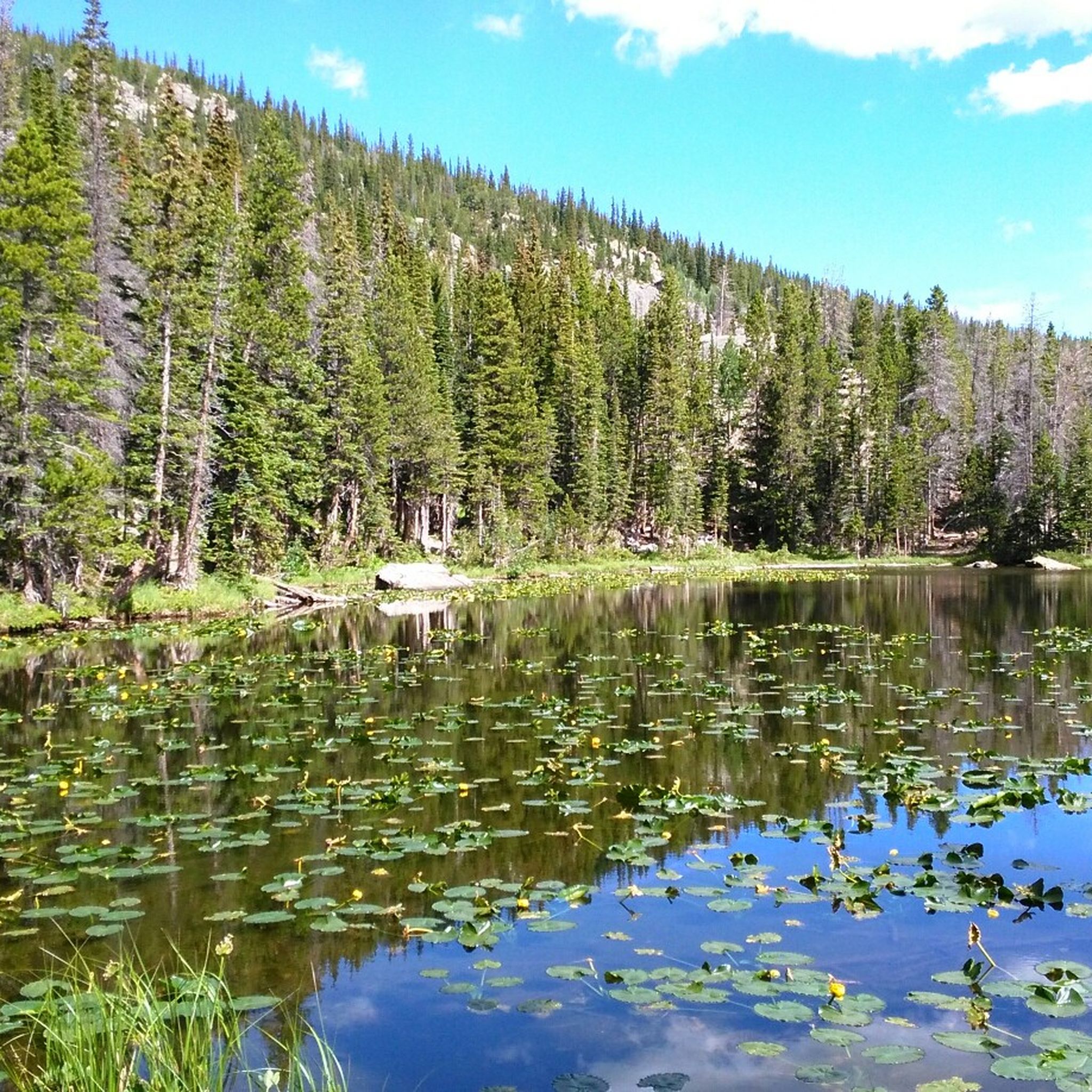
The Emerald Lake Trail offers a quintessential Rocky Mountain National Park experience, winding through dense forests and past three stunning alpine lakes. You'll first encounter the lily-pad-dotted Nymph Lake, then the dramatic, reflective waters of Dream Lake, before reaching the grand finale at Emerald Lake, framed by the jagged spires of Hallett Peak. The trail transitions from paved sections to rugged dirt paths with rocks and steps, providing a varied and engaging journey through breathtaking scenery.

This easy 3.2-mile (5.2 km) out-and-back hike involves 636 feet (194 metres) of elevation gain and typically takes about 1 hour and 36 minutes. The trailhead is located in the popular Bear Lake Corridor, which often requires a timed-entry permit during peak season, so secure your reservation well in advance. Parking at Bear Lake fills up extremely early, so plan to arrive at dawn or utilize the park's shuttle system to avoid disappointment.

What makes this route truly special is the incredible scenic payoff for a relatively short and accessible hike, making it a favorite for families and those new to high-altitude trekking. The vibrant turquoise of Dream Lake and the glacial-fed Emerald Lake, set against towering peaks, showcase the park's natural beauty. Keep an eye out for wildflowers in summer and consider a winter visit for a magical snowshoeing adventure, but always be prepared for rapid weather changes.

Easy
Sign up for free to see 74,006 more hikes in the United States of America.

Get access to more routes and recommendations from other explorers.

Sign up for free

Already have an account?

Our route recommendations are based on thousands of hikes, rides, and runs completed by other people on komoot.

Start today with a free account

Your next adventure awaits.
Login or Signup

Popular around United States

Hiking in California

Hiking in Utah

Hiking in Arizona

Hiking in Hawaii

Hiking in Washington

Hiking in Colorado

Hiking in the Appalachian Mountains

Hiking in New Hampshire

Hiking in New York

Hiking in Wyoming

Other adventures in the United States of America

John Muir Trail – Along the legendary trail through the magical Sierra Nevada

Hiking Collection by

Caro "Bandit"

Tips from the Community

Sigrid
October 27, 2025, Two Bridges, Navajo Loop Trail

A stunningly beautiful hike in Bryce Canyon. The Navajo Peekaboo Loop is a popular and challenging hike in Bryce Canyon National Park, connecting two of the most famous trails in the Bryce Amphitheater. Impressive, narrow switchbacks lead steeply down into the canyon and past rock formations with imaginative names like Thor's Hammer and Wall Street.

Translated by Google

0

0

Rocky Mountain National Park (RMNP) in Colorado is one of the most famous and highest national parks in the USA. Longs Peak is the highest point at 4,345 meters. The landscape is characterized by mountain forests with aspens, pines, and expansive meadows, where elk are common. Dense coniferous forests and mountain lakes, as well as rugged, treeless plateaus with only low-growing plants, bighorn sheep, and marmots can also be found. A highlight is the Trail Ridge Road, the highest continuously paved mountain pass in North America, leading through the alpine tundra. The most popular hiking area, with its numerous lakes, is the Bear Lake Corridor. The park is open year-round, although many roads and trails are closed during the winter months due to snow or are only accessible with appropriate equipment. Due to its immense popularity, time-slot reservations are often required for access during peak season.

Translated by Google

1

0

Beautiful, quiet lake with a great view.

Translated by Google

1

0

Sigrid
October 19, 2025, Bear Lake

It is located at the end of the scenic Bear Lake Road, one of the most popular areas of Rocky Mountain National Park. It lies at an elevation of approximately 2,880 meters (9,450 feet), surrounded by forest, offering impressive views of the majestic peaks of Hallett Peak. A very easy, paved Nature Trail (loop) leads around the lake in just about 0.6 miles (about 1 km).

Translated by Google

1

0

Sigrid
October 19, 2025, Dream Lake

The narrow lake is picturesquely situated at the foot of the majestic Hallett Peak and is known for its reflective water surfaces, which reflect the surrounding steep cliffs and peaks. It lies at an elevation of approximately 3,019 meters (9,905 feet).

Translated by Google

0

0

Sigrid
October 17, 2025, Wolfe Ranch Cabin

The Wolfe Ranch in Arches National Park is a historic settlement site and the starting point for the hike to the famous Delicate Arch. A simple log cabin (built in 1906) and other remnants (such as a cellar and a pen) of a small ranch founded by Civil War veteran John Wesley Wolfe in the late 19th century. Located on Salt Wash, northeast of present-day Moab, where Wolfe and his family attempted to raise cattle and farm in isolation, the ranch remains serve as a historical attraction and a parking area and trailhead for the popular Delicate Arch hiking trail and a short trail to petroglyphs (rock carvings). It offers a glimpse into the harsh pioneer life in arid Utah.

Translated by Google

0

0

Sigrid
October 17, 2025, Delicate Arch Trail

It is reached via a strenuous but popular hiking trail (approximately 4.8 km round trip, with climbs and sections over slickrock) from the Wolfe Ranch parking lot. There is also an easier viewpoint further away. The arch is especially popular at sunset and sunrise, when the light highlights the red rocks.

Translated by Google

0

0

Lake and mountains – what more could you want?

Translated by Google

2

0

Frequently Asked Questions

How many hiking trails are available in the United States?

The United States offers a vast network of trails, with over 51,000 hiking routes documented on komoot. These range from easy strolls to challenging multi-day expeditions, catering to all experience levels across diverse landscapes.

What types of landscapes can I expect to hike through in the U.S.?

Hiking in the U.S. provides access to an incredible variety of landscapes. You can explore towering mountain ranges like the Appalachians and Rockies, expansive deserts and canyons such as the Grand Canyon and Utah's national parks, lush forests including the Redwoods and Olympic National Park, and dramatic coastlines. Unique geological features like glaciers, volcanoes, and distinctive rock formations are also prevalent.

Are there any easy, family-friendly hikes in the United States?

Yes, there are many easy and family-friendly options. For instance, the Navajo and Queen's Garden Loop in Bryce Canyon National Park is an easy 3.3-mile trail winding through unique hoodoo formations. Another accessible option is the Horseshoe Bend Trail in Glen Canyon National Recreation Area, offering stunning views with minimal elevation gain.

Where can I find hikes with waterfalls in the U.S.?

Many regions in the U.S. are known for their waterfalls. Yosemite National Park is particularly famous for them. You can experience the powerful cascades on routes like the difficult Vernal Falls and Nevada Falls loop or the challenging Yosemite Falls Trail.

Are there any circular hiking routes available?

Yes, many trails in the U.S. are designed as loops, offering varied scenery without retracing your steps. Examples include the Navajo and Queen's Garden Loop in Bryce Canyon and the Devils Garden Loop in Arches National Park, which takes you past several natural arches.

What are some notable landmarks or attractions I can see while hiking?

The U.S. is rich with iconic landmarks. In Zion National Park, you can hike towards Angels Landing, a famous peak. Yosemite National Park features the majestic Half Dome Summit. Other unique sights include the Diamond Head State Monument in Hawaii or the Back of the Hollywood Sign on Mount Lee for urban views.

What do other hikers enjoy most about hiking in the United States?

The hiking routes in the United States are highly rated by the komoot community, with an average score of 4.7 stars from over 13,000 reviews. Hikers frequently praise the unparalleled natural beauty, the diversity of landscapes, and the well-maintained trails that offer experiences from serene forest walks to challenging mountain ascents.

Are there any challenging multi-day hikes or difficult trails?

Absolutely. The U.S. is home to some of the world's most challenging trails. For example, the Vernal Falls and Nevada Falls loop in Yosemite is a difficult 8.4-mile path with significant elevation gain. Another demanding route is the West Rim Trail to Angels Landing in Zion National Park, known for its strenuous climb and exposed sections.

Can I find trails that lead to unique geological formations?

Yes, the U.S. is renowned for its unique geology. The Delicate Arch trail in Arches National Park leads to one of the most famous natural arches in the world. Bryce Canyon National Park, with its 'hoodoo' rock formations, offers trails like the Navajo and Queen's Garden Loop that immerse you in this distinctive landscape.

What are some options for hiking in desert environments?

The American Southwest is a prime destination for desert hiking. National parks like Arches, Zion, and Bryce Canyon offer trails through red rock formations, slot canyons, and natural arches. The Delicate Arch from Wolfe Ranch is a classic desert hike, providing a memorable experience in Arches National Park.

Are there any huts or resthouses available on longer trails?

Yes, some longer trails and national parks offer facilities for hikers. For instance, in the Grand Canyon, you can find the 1.5-Mile Resthouse and Phantom Ranch. Timberline Lodge in Oregon is another notable hut that serves as a base for exploring Mount Hood.

Most popular routes in the United States of America

Easy hikes in the United States of America

Most popular attractions in the United States of America

Natural Monuments

Store rating

Get inspired with the komoot mobile app

With a free komoot account, you can easily find, customize, and navigate endless outdoor adventures.

or

Join komoot Now

Store rating

Didn’t find what you were looking for?

Check out more Hikes throughout United States below and find the perfect route in your destination.

VirginiaMassachusettsNew HampshireKansasOklahomaArkansasSouth DakotaMississippiGeorgiaWyomingUtahWest VirginiaDelawareConnecticutSouth CarolinaPuerto RicoCarolinaMarylandRhode IslandCanóvanas MunicipioYauco MunicipioBayamón MunicipioGuaynabo MunicipioLajas MunicipioHawaiʻi CountyLuquillo MunicipioKauaʻi CountyLas Piedras MunicipioOregon Islands WildernessCeiba MunicipioFajardoGuayanillaGuaynaboJuncosLajasLuquilloNaguaboSan JuanToa BajaTrujillo AltoVega BajaYaucoMaineNew JerseyNevadaUnited States Virgin IslandsHonolulu CountyFajardo MunicipioNaguabo MunicipioHumacao MunicipioDorado MunicipioKentuckyCaliforniaCeibaAppalachian MountainsTexasOhioWisconsinCanóvanasLoízaHawaiiMinnesotaSan FranciscoTrujillo Alto MunicipioSan Juan MunicipioLoíza MunicipioToa Baja MunicipioCarolina MunicipioRío Grande MunicipioNew YorkDistrict Of ColumbiaLas PiedrasGuayanilla MunicipioMonroe CountyNorth CarolinaWashingtonOregonPennsylvaniaMontanaIdahoBayamónNew MexicoVermontCabo Rojo MunicipioCabo RojoNorth DakotaIllinoisJuncos MunicipioNebraskaLouisianaArizonaVega Baja MunicipioAlaskaAlabamaMissouriRío GrandeCatañoMaui CountyColoradoTennesseeFloridaIowaMichiganIndianaWashington D.CCata O MunicipioSan Francisco

Other places to explore

Forests in United States

Nearby adventure guides

Things to Do in Selway-Bitterroot Wilderness

background

Get ready to conquer new peaks

Sign up for Free

Explore
RoutesRoute plannerFeaturesHikesMTB TrailsRoad cycling routesBikepackingSitemap
Download the app
Follow Us on Socials

© komoot GmbH

Privacy Policy