The best volcano hikes and walks in the United States of America
4.6
(2013)
30,816
hikers
84
hikes
Volcano hiking trails in the United States of America span a vast and geologically active landscape, characterized by towering volcanic peaks, ancient lava flows, and diverse ecosystems. From the Cascade Range in the Pacific Northwest to the volcanic fields of the Southwest, the country offers a wide array of volcanic features. These areas often present varied terrain, including alpine forests, high-altitude deserts, and crater rims, providing distinct hiking experiences. The extensive network of trails allows access to these unique geological formations.
Best volcano hiking trails in the United States of America
- The most popular volcano hiking route is South Sister Climber Trail, a 5.9 miles (9.4 km) trail that takes 4 hours 36 minutes to complete. This difficult route ascends a prominent volcanic peak, offering expansive views.
- Another top favourite among local hikers is Kendrick Mountain Trail #22, a moderate 4.3 miles (7.0 km) path. This trail leads through forested slopes to a volcanic summit, providing panoramic vistas.
- Local hikers also love the Lava Butte Rim Trail, a 2.2 miles (3.6 km) trail leading through a volcanic crater rim, often completed in about 1 hour 4 minutes.
- Hiking in the United States of America is defined by volcanic peaks, diverse forests, and high-altitude landscapes. The network offers options for various ability levels, from easy rim walks to challenging summit ascents.
- The routes in United States are highly rated by the komoot community with an average score of 4.6 stars from over 1900 reviews. More than 30000 hikers have used komoot to explore United States's varied terrain.
Last updated: October 20, 2026
5.0
(12)
159
hikers
11.3km
07:33
1,640m
890m
Embark on the challenging Mount Saint Helens Summit via Ptarmigan Trail, a difficult route that spans 7.0 miles (11.3 km) and demands a significant elevation gain of 5388 feet (1642 metres). You can expect to spend around 7 hours and 33 minutes on this strenuous hike. The journey begins in a lush, regrowing forest, gradually transitioning to a demanding boulder field before you tackle the loose volcanic ash and sand leading to the summit. From the crater rim, you are rewarded with expansive views of the volcano's interior and distant Cascade peaks. This trail offers a raw, immersive experience of a volcanic landscape in recovery.
Planning your ascent requires careful consideration, as permits are mandatory for climbing between April 1 and October 31. These permits are highly sought after, especially for weekend dates, so secure yours well in advance. Be prepared for full sun exposure and potentially strong winds once you climb above the treeline. Always maintain a safe distance from the crater rim, as conditions can be unpredictable. Look for blue markers along the route to help guide your way to the top.
This route takes you directly to the iconic crater rim of Mount Saint Helens, offering a unique perspective on the 1980 eruption's impact and the subsequent natural regeneration. The landscape tells a powerful story of destruction and rebirth, from the initial forested sections showing signs of recovery to the stark, volcanic terrain higher up. You will witness the raw power of nature and the resilience of the environment as you traverse this historic and geologically significant mountain. The panoramic vistas from the summit are a testament to the region's dramatic beauty.
5.0
(1)
61
hikers
13.0km
09:17
2,080m
890m
Prepare for a challenging ascent on the Worm Flows Climbing Route, a difficult hike that takes you through the dynamic landscape of Mount St. Helens. You will cover 8.1 miles (13.0 km) with a substantial elevation gain of 6809 feet (2075 metres), typically requiring around 9 hours and 16 minutes to complete. The journey begins on the Swift Ski Trail, leading you past the picturesque Chocolate Falls before the terrain opens up to exposed mudflows and rocky sections, eventually giving way to consistent snow and ice as you climb higher towards the summit. From the top, you can expect expansive views of the crater and distant peaks like Mount Rainier and Mount Adams.
This route is best undertaken in winter and early spring, but be ready for deep snow, ice, and strong winds, which add to the difficulty. A climbing permit is essential for this trail, so make sure to secure yours well in advance of your planned trip. You will also need specialized gear, including an ice axe, crampons, and potentially snowshoes, to navigate the alpine conditions safely and effectively. Proper preparation ensures you are equipped for the demanding environment.
The Worm Flows Climbing Route offers a unique opportunity to experience the raw, volcanic environment of Mount St. Helens National Volcanic Monument. It provides a distinct perspective on the mountain's geology, showcasing the dramatic changes in terrain from dense forest to exposed, high-altitude volcanic features. This trail is particularly notable for its winter and early spring access to the summit, making it a prime destination for experienced climbers seeking a challenging and rewarding adventure in a truly iconic Pacific Northwest setting.

5.0
(1)
24
hikers
9.44km
04:36
1,460m
0m
If you're seeking a truly demanding hike, the South Sister Climber Trail delivers a significant challenge. This difficult route spans 5.9 miles (9.4 km) and involves a strenuous 4785 feet (1458 metres) of elevation gain, typically taking around 4 hours and 36 minutes to complete. You'll begin in a dense forest, but the scenery quickly opens up to reveal expansive views of the surrounding peaks. As you ascend, the terrain transforms into rugged lava fields and scree, leading you towards the impressive Lewis Glacier. The ultimate reward is reaching the South Sister Summit, where you're treated to sweeping 360-degree panoramic views that include Broken Top, Middle Sister, and Mount Bachelor.
Planning your visit requires a limited entry permit, so make sure to secure this well in advance. Starting your hike early in the day is highly recommended to avoid potential afternoon thunderstorms and intense heat on the exposed upper sections. Be prepared for varying conditions, as you might encounter snowfields, especially earlier in the season, which could necessitate microspikes for safe passage. Always check the latest trail conditions before heading out.
This trail is a standout in the Three Sisters Wilderness, offering a unique opportunity to summit one of Oregon's iconic peaks. The journey takes you through diverse ecosystems, from lush forest to stark volcanic landscapes, showcasing the raw beauty of the Cascade Range. It's a classic high-alpine experience that provides a deep connection to the region's geological history and offers unparalleled vistas of the surrounding wilderness.
5.0
(25)
385
hikers
8.02km
03:46
550m
550m
Embark on the Lassen Peak Trail, a moderate 5.0 miles (8.0 km) hike that leads you to the summit of Lassen Peak. As you ascend, you will gain 1813 feet (552 metres) over approximately 3 hours and 45 minutes, with panoramic vistas unfolding around you. The path begins on packed dirt, winding through twisted mountain hemlock before transitioning to rockier sections. Near the top, the terrain becomes loose cinders, giving it a distinct lunar surface appearance. From the summit, you are rewarded with expansive views across Lassen Volcanic National Park, including Cinder Cone and even Mount Shasta on clear days.
Before you set out, be aware that snow can linger on the trail well into the summer months, so always check conditions and wear appropriate footwear. The route offers very little shade for most of its length, making sun protection like hats and sunscreen essential for your comfort. Weather at higher elevations can shift rapidly, even in summer, so it is wise to pack extra layers to stay prepared for sudden temperature drops or unexpected snow. Starting your hike early in the day is often recommended to avoid afternoon heat and potential thunderstorms.
This trail offers a unique perspective on the powerful volcanic activity that shaped the region, particularly the 1914-1917 eruptions. From the summit, you can look down upon the Devastated Area, a stark reminder of Lassen Peak's explosive past. The geological features you encounter, from the cindery slopes to the distant volcanic cones, highlight the dynamic nature of this national park. It is a journey that combines physical challenge with a deep dive into natural history.
5.0
(1)
5
hikers
3.59km
01:04
150m
20m
Embark on an easy hike around the rim of a cinder cone with the Lava Butte Rim Trail. This 2.2-mile (3.6 km) route involves a gentle climb of 476 feet (145 metres) and takes about 1 hour and 3 minutes to complete. As you walk, you will gain 360-degree views of the surrounding volcanic landscape. Look down into the impressive 150-foot deep crater of Lava Butte itself. To the west, the majestic peaks of the Cascade Mountains, including North Sister, Middle Sister, and Mount Bachelor, dominate the horizon.
Planning your visit to Lava Butte requires some awareness, especially during busy times. Vehicle access to the summit is often regulated in peak season, sometimes needing a shuttle or timed passes to manage visitor numbers. Dogs are welcome on the trail and the road leading up to the butte. If you wish to extend your hiking adventure, you can start your journey from the Lava Lands Visitor Center, adding to the overall distance and elevation gain.
This trail offers a unique chance to explore a cinder cone within the Newberry National Volcanic Monument. Informational signs placed along the route explain the geology and history of this fascinating area. You will learn about the formation of the butte and the wider volcanic landscape. It is a great way to experience a significant geological feature with minimal effort.
Get access to more routes and recommendations from other explorers.
Already have an account?
Our route recommendations are based on thousands of hikes, rides, and runs completed by other people on komoot.
Start today with a free account
Your next adventure awaits.
Popular around United States
Volcano hikes in Oregon

Volcano hikes in California
Volcano hikes in Hawaii
Volcano hikes in Maui County

Volcano hikes in Arizona

Volcano hikes in Idaho

Volcano hikes in Kauaʻi County

Volcano hikes in New Mexico
John Muir Trail – Along the legendary trail through the magical Sierra Nevada
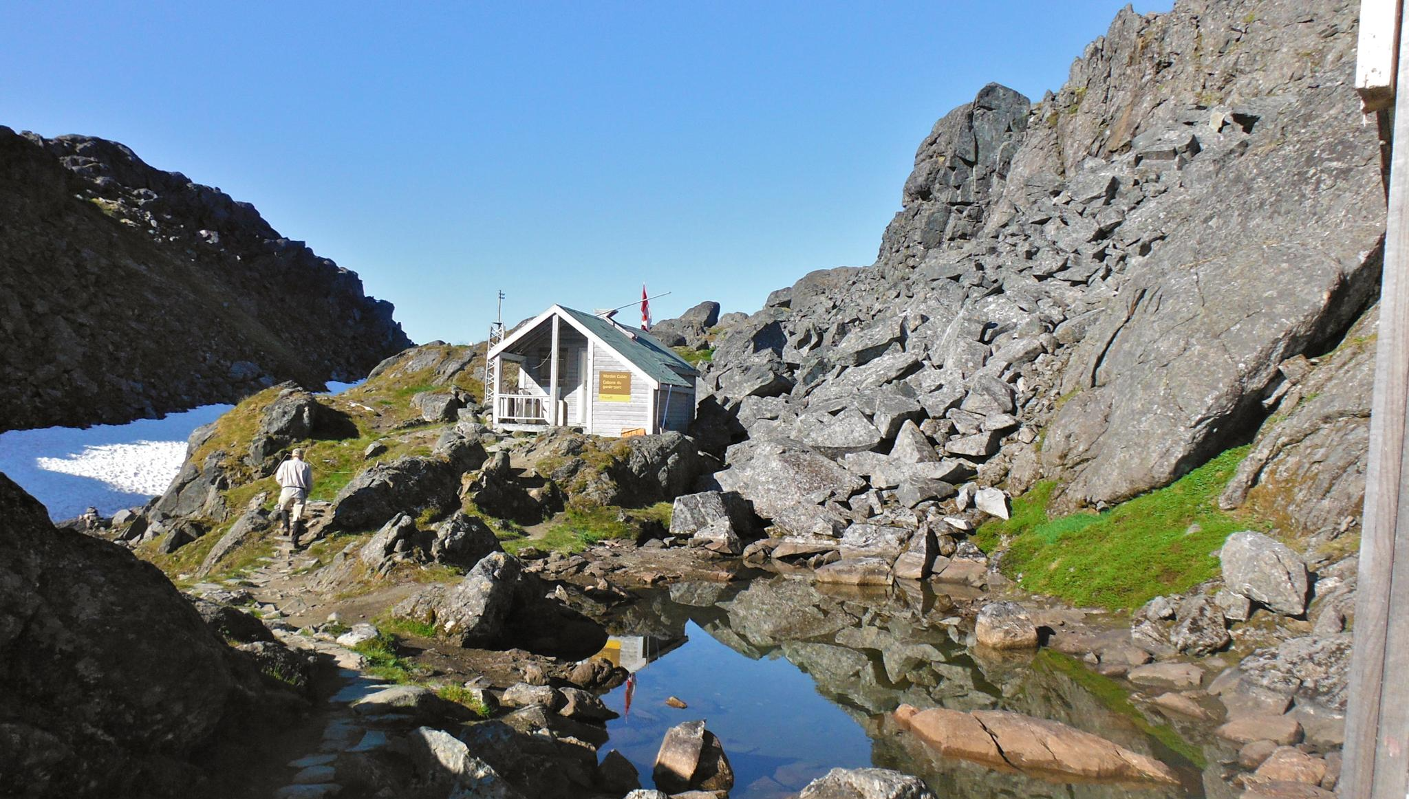
The Chilkoot Trail — Gold Rush history among soaring mountains
Other adventures in the United States of America


Tips from the Community

As you approach the Lewis Tarn, you may be fooled by the false summit, as you cannot see the true summit on the approach. Many people turn around at this glacial lake rather than hiking the last .8 of a mile to the top as the trail gets quite steep after this point.
0
0
The views to the north of the South Sister summit are worth the .4 of a mile hike to the far side. We were able to see all the way to Mt Rainier. When you reach the summit circle trail, go to the right for the easiest access.
0
0

Lassen Peak, or Mount Lassen, is a 10,457-foot lava dome volcano and highest peak in Lassen Volcanic National Park in Northern California. It is the southernmost active volcano in the Cascade Range of the Western United States. This is a steep, challenging climb from the parking lot at roughly 8,450 feet with fantastic panoramic views from the summit. Please be aware that this is still an active volcano so before you set out, be sure to check in with park officials!
0
0
Trails in this area require a Central Cascades Wilderness permit, available from recreation.gov. Permits are issued in a rolling 10 day and 2 day out window, so check for permits 10 or 2 days prior to the day you wish to use the trail. These permits to both day and overnight use; it is important to obtain one before heading out.
0
0
The geologic history of Oregon on display as you walk this trail is incredible. Interpretative signs explain many facets of the unique landscape - from the eruption history to the flora and fauna that live there. The volcanic history of Central Oregon is told here, and it is worth a stop!
1
0

This is the boundary of the Three Sisters Wilderness along the South Sister Climbers Trail. Before you enter the wilderness, you need to obtain a permit at recreation.gov. And yes, there are rangers checking your permit along the trail.
0
0

If you don't have time to climb or drive on the butte, you should still do this very easy hike. There are great views and boards that explain a lot of things well.
0
0

Frequently Asked Questions
How many volcano hiking trails are available in the United States?
There are over 75 volcano hiking trails documented in the United States, offering a wide range of experiences from easy strolls to challenging ascents. You'll find 29 easy, 33 moderate, and 16 difficult routes to explore.
Are there family-friendly volcano hikes in the US?
Yes, many volcanic areas in the US offer trails suitable for families. For an accessible option, consider the Lava Butte Rim Trail, which is rated as easy and provides great views without extensive elevation gain. Always check specific trail conditions and difficulty ratings to ensure they match your family's abilities.
Can I bring my dog on volcano hiking trails in the United States?
Policies regarding dogs vary significantly by location, especially within National Parks and Wilderness Areas. While some trails may allow leashed dogs, others prohibit them to protect wildlife and natural habitats. Always check the specific regulations for the park or forest you plan to visit before bringing your dog. Many areas outside of strict wilderness designations are more accommodating.
What is the best time of year to hike volcanoes in the USA?
The best time to hike volcanoes in the USA generally depends on the region and elevation. Higher elevation volcanic peaks, like those in the Pacific Northwest, are typically best from late spring through early fall (June to September) to avoid snow and ice. Lower elevation or desert volcanic areas, such as those in Arizona or New Mexico, are often more pleasant in cooler months (fall, winter, and spring) to avoid extreme summer heat.
What should I wear for volcano hiking in America?
Volcano hiking often involves varied terrain and weather. It's recommended to wear sturdy hiking boots with good ankle support, layered clothing to adapt to changing temperatures, and bring rain gear. Depending on the trail, you might encounter loose volcanic rock, so gaiters can be helpful. Always pack plenty of water, sun protection, and navigation tools.
Are there any circular volcano hikes in the US?
Yes, some volcanic areas offer circular routes that allow you to experience diverse landscapes without retracing your steps. An example of a longer, challenging loop is the Summit, Horshoe, Snag, Cinder Cone, Rainbow, Twin, and Echo Lakes Loop, which takes you through a variety of volcanic features and lakes. Always check the route details for length and difficulty.
What kind of wildlife might I see on volcano hikes in the USA?
Volcanic regions, despite their dramatic landscapes, can host diverse wildlife. Depending on the specific area, you might spot deer, elk, various bird species, and smaller mammals. In some areas, you could even encounter bears or mountain lions, so it's always wise to be aware of your surroundings and practice wildlife safety. Always maintain a respectful distance and never feed wild animals.
What do other hikers enjoy most about volcano hiking in the United States?
The komoot community highly rates volcano hiking in the US, with an average score of 4.6 stars from over 1950 ratings. Reviewers often praise the unique geological formations, the dramatic panoramic views from summits, and the sense of awe inspired by these powerful natural landscapes. The diversity of trails, from easy rim walks to challenging climbs, also contributes to the positive feedback.
Are there any notable attractions or landmarks near volcano hiking trails?
Many volcano hiking trails are situated within or near areas rich in natural beauty and attractions. For instance, you might find stunning viewpoints like Sunset Point or Sunrise Point, or even impressive waterfalls such as Snoqualmie Falls. Some trails lead to significant summits like Half Dome Summit, offering incredible vistas of the surrounding volcanic and mountainous terrain.
Are permits required for volcano hikes in the United States?
Permit requirements vary greatly depending on the specific volcano and its location. Many popular or sensitive volcanic areas, especially within National Parks or Wilderness Areas, require permits for day hikes or overnight trips to manage visitor numbers and protect the environment. For example, some challenging climbs like the South Sister Climber Trail might require permits. Always check with the relevant park or forest service well in advance of your trip.
Are there any moderate volcano hikes for those looking for a bit more challenge?
Absolutely! If you're seeking a moderate challenge, the Kendrick Mountain Trail #22 offers a rewarding experience with significant elevation gain but is generally manageable for hikers with some experience. These types of trails provide a good balance of physical exertion and stunning volcanic scenery.
Where can I find a cafe or refreshments near volcano hiking areas?
While many volcano hiking trails are in remote areas, you can often find cafes or small towns with amenities nearby, especially closer to park entrances or popular trailheads. For example, you might find a spot like Splitrock Tap & Wheel near some trail systems. It's always a good idea to research local services before heading out, as options can be limited in wilderness settings.
Most popular routes in the United States of America
Most popular attractions in the United States of America

Get inspired with the komoot mobile app


Didn’t find what you were looking for?
Check out more Hikes throughout United States below and find the perfect route in your destination.
Explore more
Browse the best Hikes in other regions.
