The best MTB trails around Wolfertschwenden
4.5
(1488)
5,581
riders
592
rides
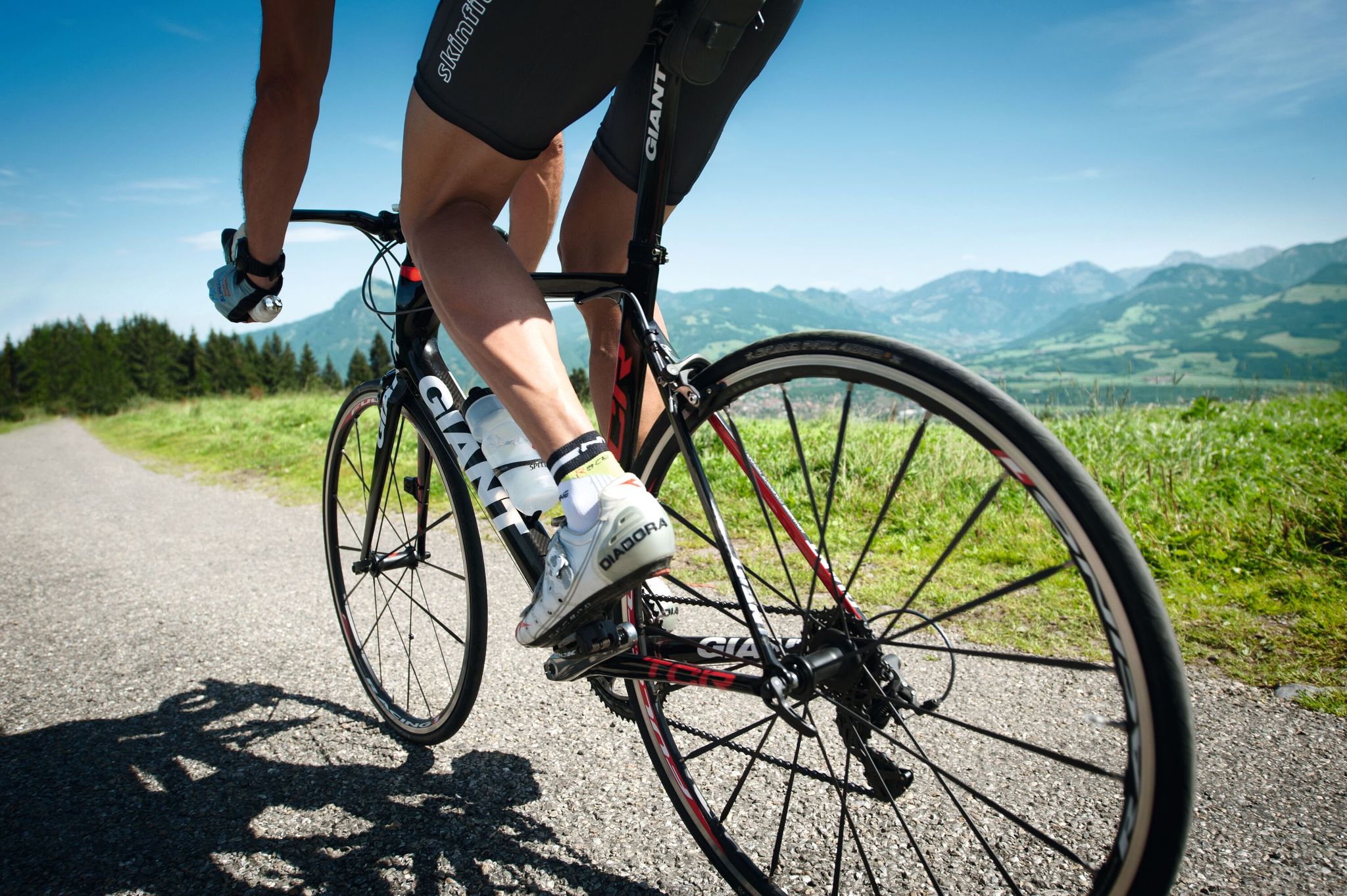
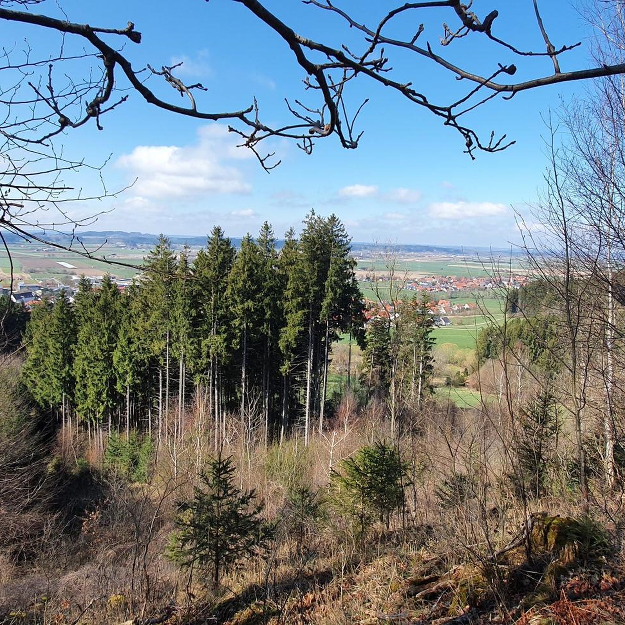
Mountain bike trails around Wolfertschwenden are set within the scenic Unterallgäu region, characterized by rolling hills, picturesque forests, and diverse landscapes. The area offers an extensive network of routes that traverse varied terrain, including forest paths and singletracks. These trails provide options for both moderate altitude challenges and enjoyable descents, with the Iller River also featuring paths suitable for cycling.
Best mountain bike trails around Wolfertschwenden
- The most popular mountain bike trail is Downhill singletrack – View of the Illerschleife…
Last updated: October 13, 2026
4.5
(63)
241
riders
41.2km
03:23
700m
700m
Hard mountain bike ride. Good fitness required. Advanced riding skills necessary. Some portions of the route may require you to push your bike.
4.3
(23)
75
riders
42.2km
02:47
530m
530m
Moderate mountain bike ride. Good fitness required. Suitable for all skill levels.

4.4
(10)
47
riders
Hard mountain bike ride. Good fitness required. Advanced riding skills necessary. Some portions of the route may require you to push your bike.
4.5
(39)
75
riders
25.7km
02:02
350m
350m
Hard mountain bike ride. Good fitness required. Advanced riding skills necessary. Some portions of the route may require you to push your bike.
4.7
(16)
36
riders
28.8km
01:57
290m
290m
Easy mountain bike ride. Great for any fitness level. Suitable for all skill levels.
Get access to more routes and recommendations from other explorers.
Already have an account?
Our route recommendations are based on thousands of hikes, rides, and runs completed by other people on komoot.
Start today with a free account
Your next adventure awaits.
Other adventures around Wolfertschwenden

Tips from the Community

I live in Kempten and have already been here in both directions. The path has its charms, but I have nevertheless removed it from my list. In rainy weather, the path is terrible because it washes away the gravel and creates gullies that are difficult to ride with a bike. The sign that you should dismount is something everyone has to decide for themselves; today it was slippery but rideable and I did as Haibike-3 did. I cycled on. However, the concrete slabs and the curve before the bridge were annoying. The route is actually too narrow for oncoming traffic, which is why I let the uphill cyclists pass. For me, the whole thing is too strenuous with a bike.
0
0

Technical, natural skill trail near Bad Grönenbach with roots, narrow passages and varied terrain. Short, but crisp and technically demanding. The Hammer Trail is really fun, especially in dry conditions.
0
0

The Gerichtslinde (court lime tree) is not located in Waizenkirchen, but in Reicholzried in the Allgäu.
0
0

Beautiful suspension bridge over the Iller with a viewing tower offering a magnificent view. It swings quite a bit in strong winds.
0
0
Currently quite a mud bath on the path, but a bit higher up it's okay.
1
0

The suspension bridge and the approximately 20-meter-high observation tower invite visitors to explore. From the tower, you can enjoy a magnificent view of the weir and the idyllic floodplains of the Iller River. A pebble beach is also located nearby, right on the riverbank, perfect for dipping your feet in the cool water.
2
0

An ideal place for a break, a picnic, or simply to cool your feet or take a bath...
0
0

Suspension bridge construction & observation tower
1
0
Frequently Asked Questions
How many mountain bike trails are available around Wolfertschwenden?
There are over 600 mountain bike trails in and around Wolfertschwenden. This extensive network offers a wide variety of routes for different skill levels and preferences.
What kind of terrain can I expect on mountain bike trails in Wolfertschwenden?
The region around Wolfertschwenden is characterized by rolling hills, picturesque forests, and varied terrain. You'll find a mix of forest paths, singletracks, and gravel paths, especially along the Iller River. These routes offer both moderate altitude challenges and enjoyable descents.
Are there mountain bike trails suitable for beginners or those looking for an easy ride?
Yes, Wolfertschwenden offers a good selection of easier trails. There are 159 routes classified as easy. An example is the Kempter Gate Memmingen – Memmingen Old Town loop from Bad Grönenbach, which is an easy 21.6-mile (34.8 km) ride.
Are there challenging mountain bike trails for experienced riders?
Absolutely. For experienced riders seeking a challenge, there are 68 difficult mountain bike routes. A popular option is the Downhill singletrack – View of the Illerschleife loop from Bad Grönenbach, a difficult 25.5-mile (41.1 km) trail featuring a downhill singletrack with views of the Iller River bend.
Can I find circular mountain bike routes in the area?
Many of the mountain bike trails around Wolfertschwenden are designed as loops, allowing you to start and finish at the same point. For example, the Forest Trail to the River – Hammer Trail loop from Bad Grönenbach is a challenging 16.9-mile (27.2 km) circular route through dense forests and alongside the river.
What natural features or landmarks can I see along the mountain bike trails?
The region offers several natural attractions. You can explore gorges like the Buchentobel Gorge or the Aurikelschlucht. The Iller River itself provides scenic paths, and you might encounter lakes such as Schachenweiher or Sachsenrieder Weiher. The broader Allgäu region is also known for its panoramic views from elevated points.
Are there family-friendly mountain bike trails around Wolfertschwenden?
Yes, there are many routes suitable for families. The paths along the Iller River are generally calmer and feature gravel surfaces, making them suitable for leisurely rides. For a specific route, the Panorama Swing in Allgäu – Sachsenrieder Pond loop from Bad Grönenbach is an easy 17.8-mile (28.6 km) trail that leads through the scenic Allgäu landscape and past Sachsenrieder Pond.
What do other mountain bikers enjoy most about mountain biking in Wolfertschwenden?
The area is highly rated by the komoot community, with an average score of 4.6 stars from over 1100 reviews. Mountain bikers often praise the varied terrain, the picturesque forests, and the extensive network of trails that cater to different skill levels. The scenic views, especially along the Iller River and from higher points, are also frequently highlighted.
Is it possible to access mountain bike trails using public transport?
While specific public transport connections directly to every trailhead might vary, the broader Unterallgäu region has public transport options. It's advisable to check local bus or train schedules for connections to towns like Bad Grönenbach or Memmingen, from where many trails originate or are easily accessible.
Where can I find parking for mountain biking in Wolfertschwenden?
Parking is generally available in and around the towns and villages where many trails begin, such as Bad Grönenbach or Memmingen. Look for designated parking areas near trailheads or in town centers, which often provide convenient access to the routes.
Are there any cafes or places to eat along the mountain bike routes?
Yes, the towns and villages in the Unterallgäu region, including Wolfertschwenden, Bad Grönenbach, and Memmingen, offer various cafes, pubs, and restaurants where you can refuel. Many routes pass through or near these settlements, making it easy to find a stop for refreshments.
What is the best time of year for mountain biking in Wolfertschwenden?
The spring, summer, and autumn months generally offer the best conditions for mountain biking in Wolfertschwenden. During these seasons, the weather is typically mild, and the trails are clear. While some trails may be accessible in winter, conditions can be challenging due to snow and ice, so it's best to check local weather and trail reports.
Most popular routes around Wolfertschwenden
Most popular attractions around Wolfertschwenden

Get inspired with the komoot mobile app


Explore more
Browse the best MTB trails in other regions.
