The best road cycling routes in Wicklow
4.4
(239)
11,943
riders
434
rides
Road cycling in Wicklow offers a diverse landscape of hills, mountains, and valleys, providing varied terrain for cyclists. The region features an extensive network of minor roads, often avoiding heavy traffic, which traverse the Wicklow Mountains National Park. This area is characterized by rugged mountain peaks, heather-covered moorlands, and serene lakes, making it a destination for both challenging ascents and leisurely rides. Its proximity to Dublin also makes it an accessible location for outdoor activities.
Best road cycling routes in Wicklow
- The most popular road cycling route is Sally Gap, Glencree and Enniskerry loop from Laragh — Wicklow Mountains National Park, a difficult 45.9 miles (73.9 km) trail that takes 3 hours 32 minutes to complete. This route features the iconic Sally Gap and traverses parts of the Wicklow Mountains National Park.
- Another top favourite among local road cyclists is Poulaphouca Reservoir loop from Blessington, an easy 21.4 miles (34.4 km) path. This route offers picturesque cycling along the tranquil waters of the Poulaphouca Reservoir.
- Local road cyclists also love the Glencree and Enniskerry loop from Bray, a 22.8 miles (36.7 km) trail leading through Glencree and Enniskerry, often completed in about 1 hour 51 minutes.
- Road cycling in Wicklow is defined by mountain passes like Sally Gap and Wicklow Gap, scenic lakes such as Blessington Lakes, and the historic Glendalough valley. The network offers options for various ability levels, from gentle paths to challenging mountain climbs.
- The routes in Wicklow are highly rated by the komoot community with an average score of 4.5 stars from over 70 reviews. More than 5,800 road cyclists have used komoot to explore Wicklow's varied terrain.
Last updated: October 10, 2026
4.7
(3)
141
riders
73.9km
03:33
1,000m
1,000m
Hard road ride. Very good fitness required. Mostly well-paved surfaces and easy to ride.
3.5
(4)
104
riders
34.4km
01:31
300m
300m
This easy 21.4-mile road cycling loop from Blessington offers scenic views of Poulaphouca Reservoir and the Wicklow Mountains.

3.0
(2)
87
riders
36.7km
01:51
510m
510m
This moderate 22.8-mile road cycling loop from Bray explores the scenic Glencree Valley and Enniskerry in Wicklow Mountains National Park.
5.0
(1)
80
riders
69.6km
03:24
1,020m
1,020m
Hard road ride. Very good fitness required. Mostly well-paved surfaces and easy to ride.
41
riders
101km
05:02
1,540m
1,540m
Hard road ride. Very good fitness required. Mostly well-paved surfaces and easy to ride.
5.0
(3)
24
riders
36.0km
01:39
370m
370m
Moderate road ride. Good fitness required. Mostly well-paved surfaces and easy to ride.
4.3
(3)
17
riders
47.8km
02:12
500m
500m
Cycle the moderate 29.7-mile Roundwood and Rathdrum loop from Laragh, enjoying Wicklow Mountains scenery and Vartry Reservoir views.
12
riders
55.9km
02:48
870m
870m
Cycle the moderate 34.7 miles (55.9 km) Aughrim and Rathdrum loop from Laragh, gaining 2846 feet (867 metres) in the Wicklow Mountains.
2
riders
18.5km
01:24
290m
290m
Easy road ride. Great for any fitness level. Mostly well-paved surfaces and easy to ride.
1
riders
27.5km
01:13
270m
270m
Easy road ride. Great for any fitness level. Mostly well-paved surfaces and easy to ride.
Get access to more routes and recommendations from other explorers.
Already have an account?
Our route recommendations are based on thousands of hikes, rides, and runs completed by other people on komoot.
Start today with a free account
Your next adventure awaits.
Popular around Wicklow
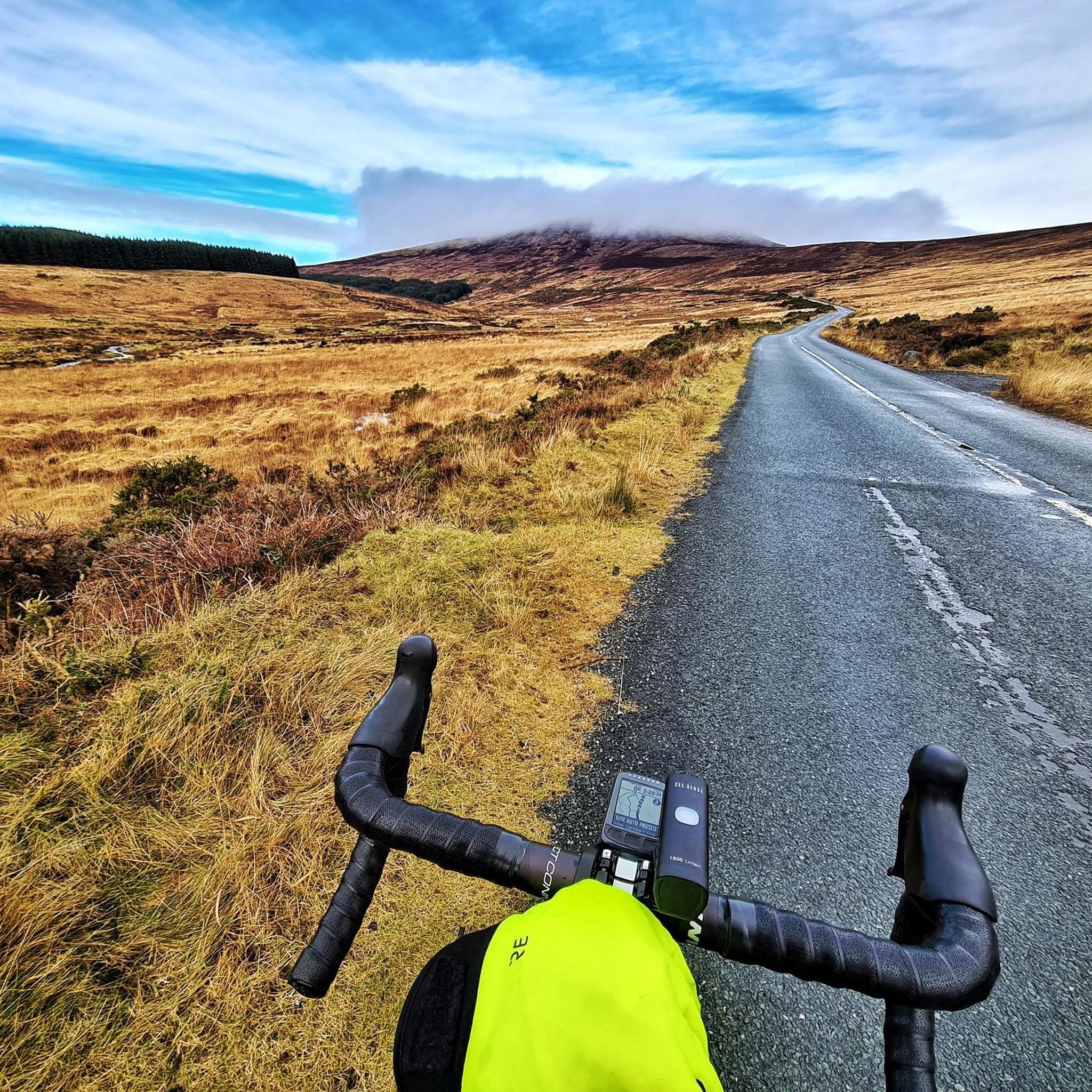
Road Cycling Routes around The Municipal District of Wicklow
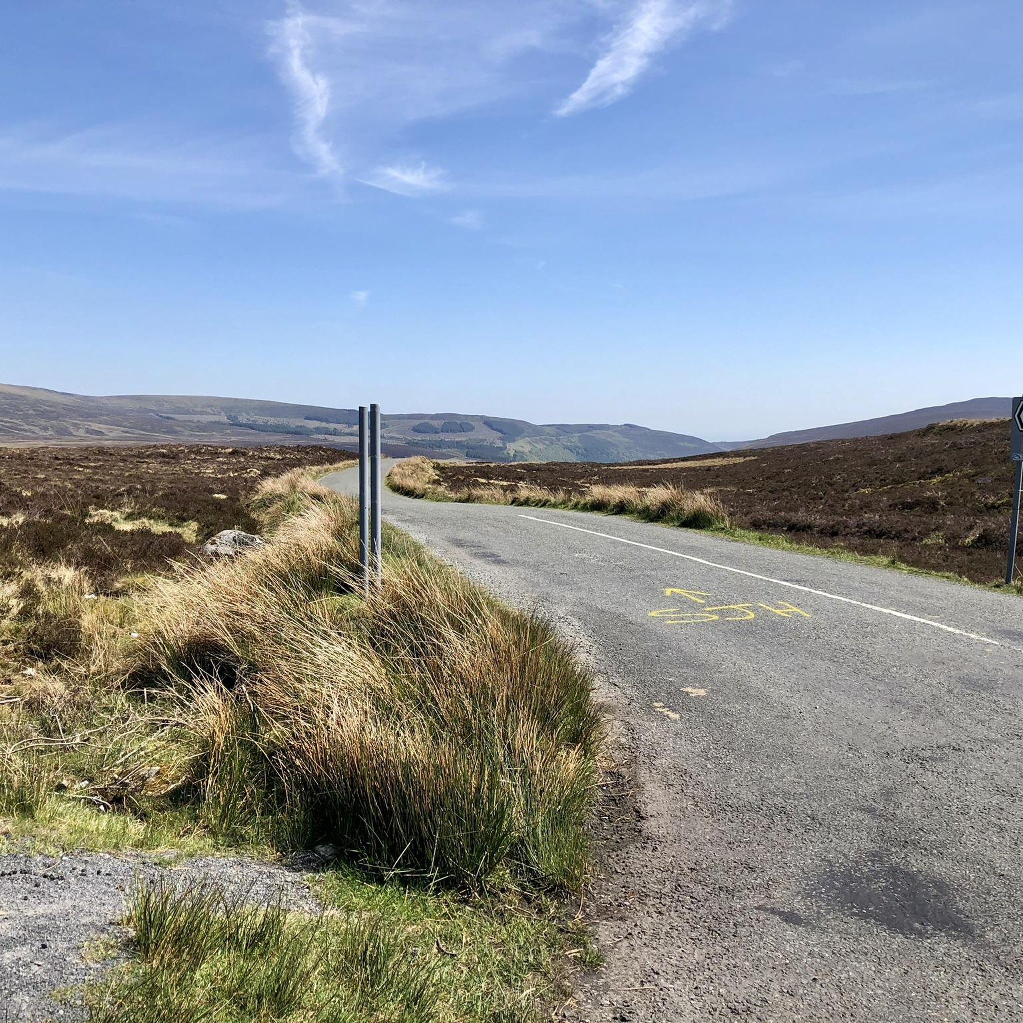
Road Cycling Routes around The Municipal District of Bray
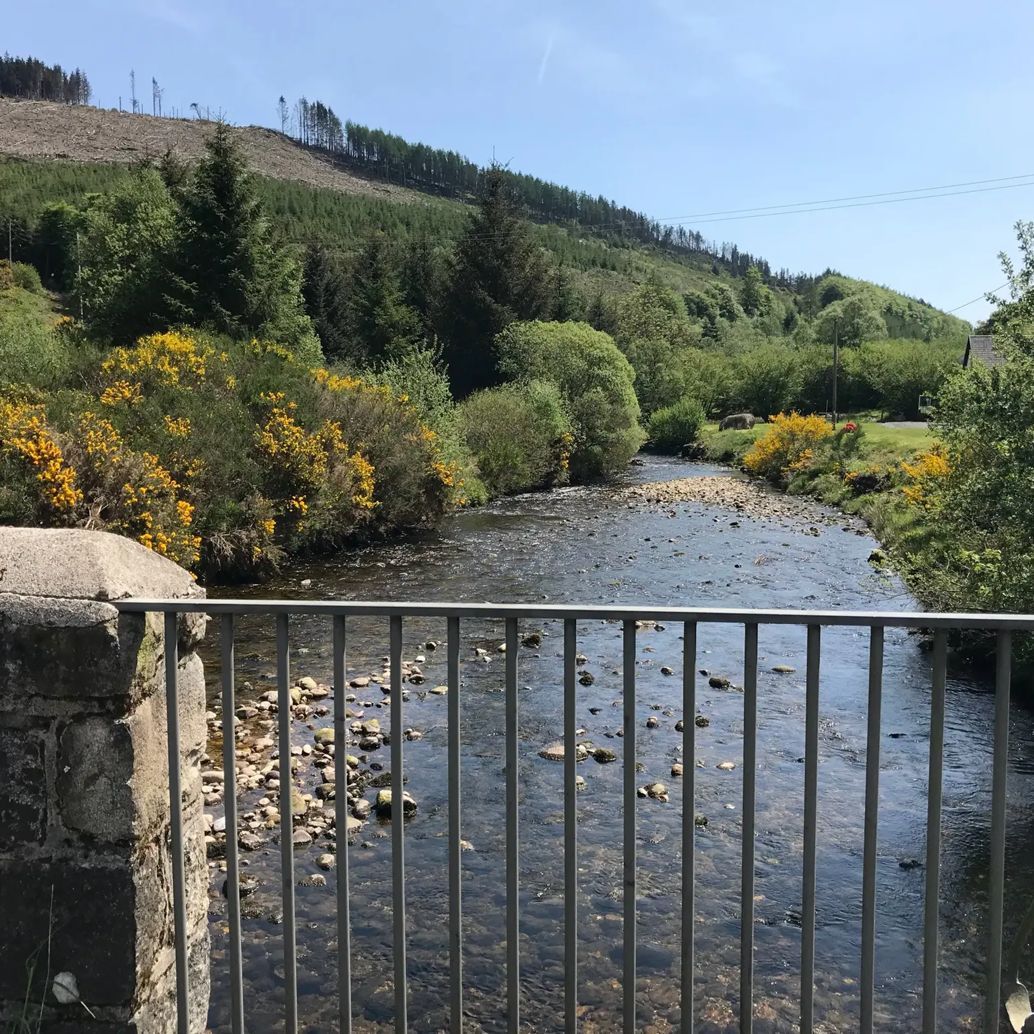
Road Cycling Routes around The Municipal District of Baltinglass
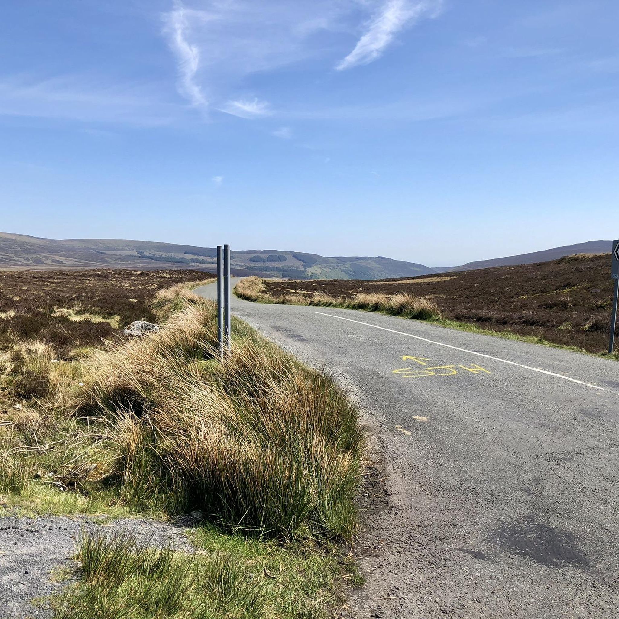
Road Cycling Routes in the Wicklow Mountains National Park
Road Cycling Routes around The Municipal District of Arklow
Road Cycling Routes around The Municipal District of Greystones
Running the Wicklow Way – From the city to the mountains
The Wicklow Way — discover Ireland's east
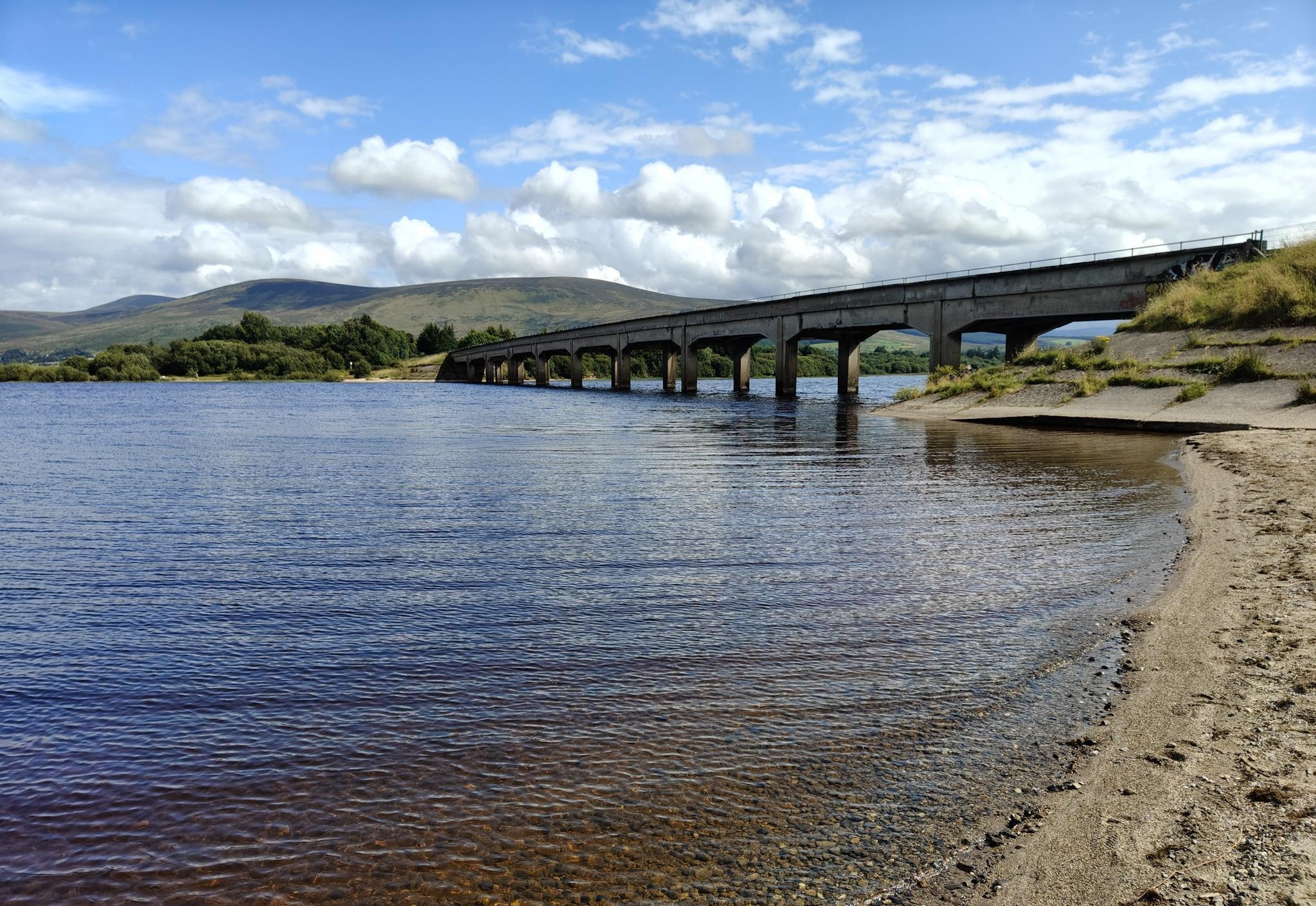
Lough shores and country roads – Blessington Loop

Follow the water - Along Ireland's rivers and lakes
Other adventures in Wicklow


Tips from the Community

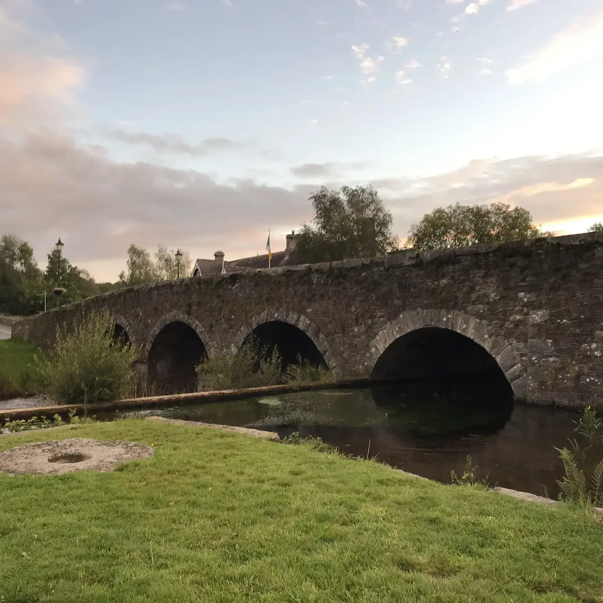
This 19th-century arch bridge over the Derry Water River is a fine example of Irish civil engineering. The construction is entirely built from local granite, with the precisely cut keystones in the arches immediately catching the eye. These arches are not only elegant but also technically designed to optimally absorb the varying water pressure of the river. The robust parapets of rough natural stone allow the structure to blend seamlessly into the landscape of Aughrim, making the bridge a characteristic monument on the border between history and nature.
10
0
The waterfall plunges in multiple stages, 80–100 meters, down a wide granite ledge. The combination of steep walls, open highlands, and the winding river below makes this one of the most dramatic panoramas in the entire R115 corridor.
6
0
Sally Gap, one of the highest and most open crossroads in the Wicklow Mountains. Here, the R759 and the Old Military Road (R115) intersect at over 500 meters altitude, in the middle of a vast moorland and heath landscape without buildings or shelter. The panorama is a full 360°: the dark bogs of Liffey Head Bog, the flanks of Kippure, the valleys towards Glencree, and the long, empty Military Road that runs like a pencil line through the highlands. This location is world-famous as a backdrop for films and series such as Braveheart, Vikings, and P.S. I Love You.
8
0
You are here on one of the most characteristic sections of the Old Military Road, built between 1800 and 1809 by the British Army to control the Wicklow Mountains after the 1798 Rebellion. This section of the L1013 runs across an open high plateau with wide, rugged views towards Glencree, Kippure and the northern Wicklow Mountains.
7
0
For the cyclist, this is the main attraction. The café is located in the old armoury and is known for its hearty soups, homemade cakes, and good coffee. You could almost call it a cycling café.
7
0


At the foot of Maulin, the Dargle River plunges 121 meters deep. It is a breathtaking sight.
1
0
Frequently Asked Questions
How many road cycling routes are available in Wicklow?
Wicklow offers a wide selection of road cycling routes, with over 480 tours available on komoot. These routes cater to various skill levels, from easy to difficult, ensuring there's something for every cyclist.
Are there easy road cycling routes suitable for beginners or families in Wicklow?
Yes, Wicklow has numerous easy road cycling routes perfect for beginners or family outings. For instance, the Poulaphouca Reservoir loop from Blessington is an easy 21.4-mile (34.4 km) path offering picturesque cycling along tranquil waters. There are 84 easy routes in total to explore.
What are some challenging road cycling routes for experienced cyclists in Wicklow?
Experienced cyclists seeking a challenge will find plenty in Wicklow. Routes often incorporate iconic mountain passes like Sally Gap and Wicklow Gap. A demanding option is the Sally Gap, Glencree and Enniskerry loop from Laragh, a difficult 45.9-mile (73.9 km) trail with over 1,000 meters of elevation gain. Another challenging route is the Sally Gap and Slieve Man loop from Roundwood, which covers over 100 km and features more than 1,500 meters of climbing.
Can I find circular road cycling routes in Wicklow?
Yes, many of Wicklow's road cycling routes are designed as loops, allowing you to start and finish in the same location. Examples include the Roundwood and Rathdrum loop from Laragh and the Aughrim to Tinahely loop, offering varied distances and ascents.
What natural features or landmarks can I expect to see along Wicklow's road cycling routes?
Wicklow, known as the 'Garden of Ireland,' offers diverse landscapes. Cyclists can encounter rugged mountain peaks, heather-covered moorlands, and serene lakes. Notable features include the iconic Sally Gap and Wicklow Gap mountain passes, the tranquil Blessington Lakes, and the historic Glendalough Monastic Site nestled in a glacial valley. You might also pass by distinctive peaks like the Great Sugarloaf and Little Sugarloaf.
Are there any routes that pass by waterfalls in Wicklow?
Yes, some routes offer views of Wicklow's beautiful waterfalls. The Bray to Powerscourt Waterfall and back route is a great option, leading directly to the stunning Powerscourt Waterfall. Other routes might offer glimpses of natural attractions like Glenmacnass Waterfall.
Where can I find parking for road cycling routes in Wicklow?
Many popular starting points for road cycling routes in Wicklow, especially those within or near the Wicklow Mountains National Park, offer designated parking areas. It's advisable to check specific route details or local council websites for information on parking availability and any potential fees at your chosen starting location.
Is public transport available to access road cycling routes in Wicklow?
While Wicklow is accessible from Dublin, public transport options directly to the start of many remote road cycling routes can be limited. Some larger towns like Bray or Blessington, which serve as starting points for routes, are better connected by bus or train. For detailed public transport information, it's best to consult local transport providers like Bus Éireann or Irish Rail.
What is the best time of year for road cycling in Wicklow?
The best time for road cycling in Wicklow is generally from spring through early autumn (April to October). During these months, the weather is typically milder, with longer daylight hours and less chance of rain, making for more enjoyable rides. However, Wicklow's weather can be unpredictable, so always check the forecast before heading out.
Are there any long-distance road cycling options in Wicklow?
Wicklow is well-suited for long-distance road cycling, with routes that can extend over 100 km and feature significant elevation gains. Many routes combine multiple mountain passes and scenic areas, such as the Wicklow Gap, Blessington and Sally Gap loop from Laragh, which covers nearly 70 km and over 1,000 meters of climbing. Some routes are even part of the renowned Wicklow 200 sportive.
What do other cyclists say about road cycling in Wicklow?
Road cycling in Wicklow is highly rated by the komoot community, with an average score of 4.5 stars from over 70 reviews. More than 5,800 road cyclists have used komoot to explore Wicklow's varied terrain. Reviewers often praise the diverse landscapes, challenging climbs, and the extensive network of minor roads that provide an immersive cycling experience away from heavy traffic.
Are there routes that include iconic passes like Sally Gap or Wicklow Gap?
Absolutely. Wicklow is famous for its iconic mountain passes, and many road cycling routes incorporate them. The Sally Gap, Glencree and Enniskerry loop from Laragh is a prime example, traversing the Sally Gap. The Wicklow Gap, Blessington and Sally Gap loop from Laragh includes both passes, offering a significant challenge and breathtaking views.
Can I find routes around the Blessington Lakes?
Yes, the Blessington Lakes area is a popular spot for road cycling, offering picturesque routes with stunning waterside views. The Poulaphouca Reservoir loop from Blessington is an easy route that provides a serene riding experience along the tranquil waters. There are also moderate options like the Poulaphouca Reservoir loop from Blessington, which offers a slightly longer distance and more elevation.
Are there any specific routes recommended for scenic viewpoints?
Many routes in Wicklow offer spectacular scenic viewpoints, particularly those that climb into the Wicklow Mountains. The passes like Sally Gap and Wicklow Gap are renowned for their panoramic vistas. Routes around Lough Tay (Guinness Lake) also provide striking beauty. For specific viewpoints, consider routes that pass by View of Powerscourt Waterfall or offer views from higher elevations like Djouce Summit.
Are there any hidden gem road bike trails in Wicklow?
While many routes in Wicklow are well-known, the extensive network of minor roads means there are always less-traveled paths to discover. Exploring the smaller roads around areas like the Vartry Lakes or venturing into the less frequented parts of the Wicklow Mountains National Park can reveal serene and beautiful routes away from the main cycling hubs. Look for routes starting from smaller villages like Aughrim or Roundwood for a potentially quieter experience, such as the Aughrim and Rathdrum loop from Laragh.
Most popular routes in Wicklow
Most popular attractions in Wicklow

Get inspired with the komoot mobile app


Didn’t find what you were looking for?
Check out more Road cycling routes throughout Wicklow below and find the perfect route in your destination.
Explore more
Browse the best Road cycling routes in other regions.
