The best cycling routes around Weigler
4.6
(1599)
7,299
riders
306
rides
Touring cycling routes around Weigler are situated within the Rhön-Grabfeld district of Bavaria, Germany, offering a blend of landscapes. The area features the eastern parts of the Rhön Mountains, characterized by open views and native forests, alongside the gently rolling and fertile Grabfeld region. Rivers like the Fränkische Saale flow through the district, providing varied terrain for cycling. This region's volcanic past is evident in its basalt formations, contributing to diverse cycling experiences.
Best touring cycling routes around Weigler
- The…
Last updated: August 11, 2026
4.0
(1)
59
riders
26.1km
01:32
100m
100m
Easy bike ride. Great for any fitness level. Mostly paved surfaces. Suitable for all skill levels.
5.0
(4)
7
riders
28.3km
02:15
260m
260m
Moderate bike ride. Good fitness required. Mostly paved surfaces. Suitable for all skill levels.

Sign up for free
5.0
(1)
11
riders
31.9km
02:26
320m
320m
Moderate bike ride. Good fitness required. Mostly paved surfaces. Suitable for all skill levels.
7
riders
35.3km
02:52
360m
360m
Hard bike ride. Good fitness required. You may need to push your bike for some segments of this route.
5.0
(1)
8
riders
14.8km
01:10
140m
140m
Hard bike ride. Great for any fitness level. You may need to push your bike for some segments of this route.
Get access to more routes and recommendations from other explorers.
Sign up for free
Already have an account?
Our route recommendations are based on thousands of hikes, rides, and runs completed by other people on komoot.
Start today with a free account
Your next adventure awaits.
Login or Signup
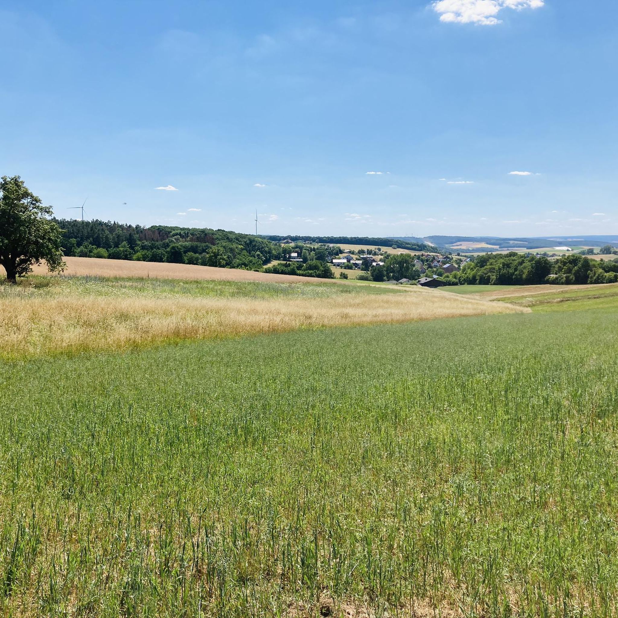
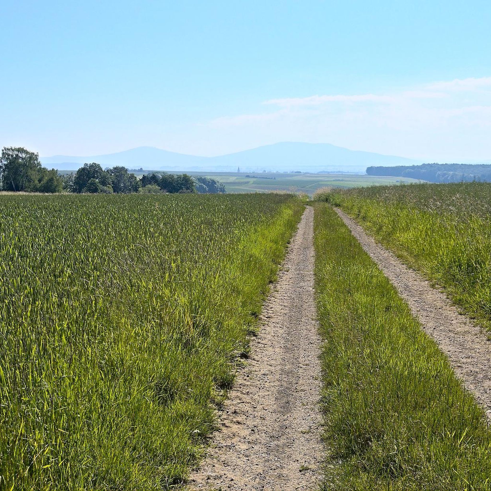
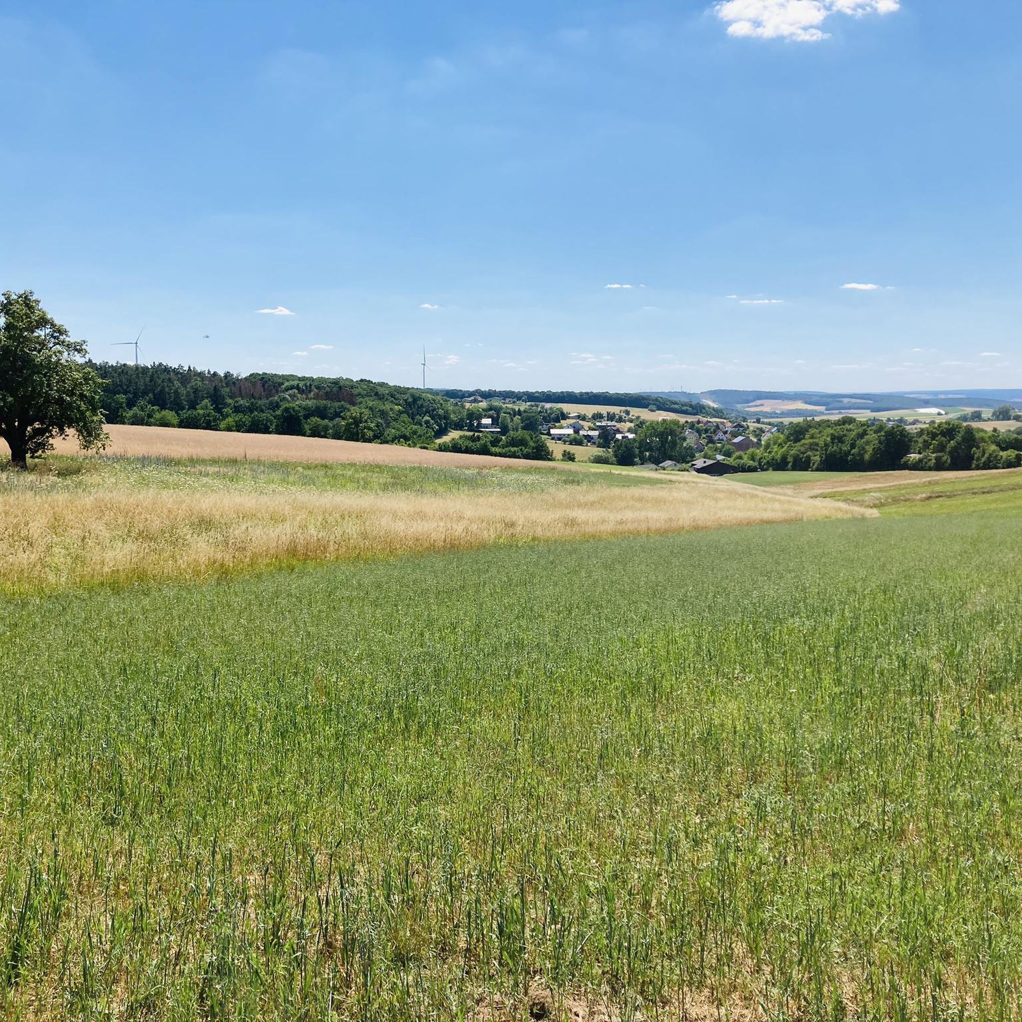
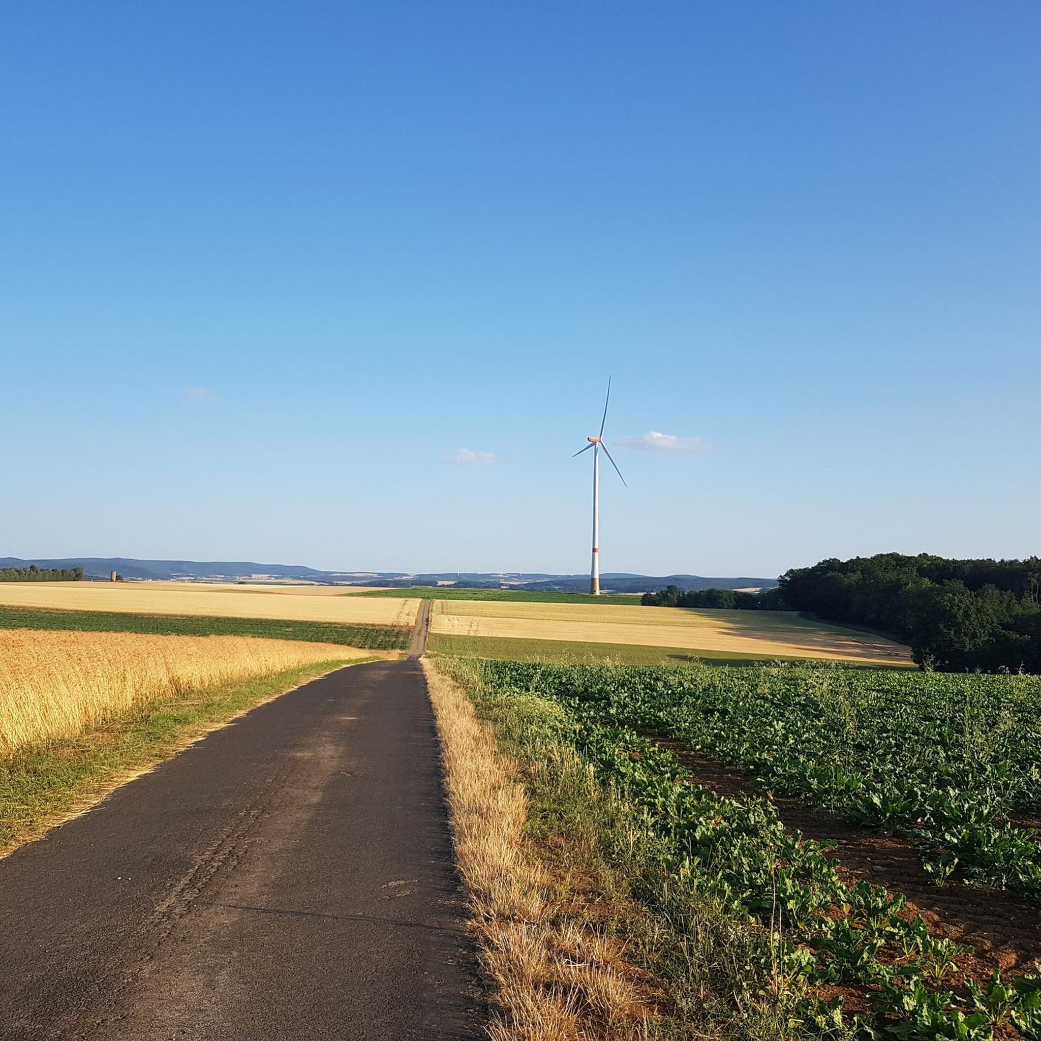
Tips from the Community

Old village well: In historical village chronicles and art monument inventories, a historical well (village well) from the 16th century (dated 1573) on the market square is mentioned for the village center of Irmelshausen. (KI)
0
0

St.-Vitus-Kirche: The parish church shapes the townscape; the original village church formed the center of the community together with a fortified church in the Middle Ages. On the way to the church and the Saalebrücke, there are significant cultural monuments such as historical Rococo wayside shrines and a statue of St. Nepomuk.
3
0
The Saale Cycleway extends for around 400 kilometers from the Saale source in the Fichtelgebirge (Bavaria) through Thuringia to the mouth of the Saale into the Elbe near Barby (Saxony-Anhalt).
3
0
The Saale Cycle Path extends for around 400 kilometers from the Saale source in the Fichtelgebirge (Bavaria) through Thuringia to the mouth of the Saale into the Elbe near Barby (Saxony-Anhalt).
3
0
The historic Saale Bridge in Hollstadt is an 18th-century, three-span, round-arched stone bridge. It crosses the Franconian Saale and is now protected as a historical monument.
3
0

Always this magnificent view again.
3
0
Fabulous beautiful view of the Gleichberg area, the short detour up here is worth it.
3
0

A nice little bridge here.
1
0
Frequently Asked Questions
How many touring cycling routes are available around Weigler?
There are over 320 touring cycling routes in the Weigler area, offering a wide range of options for different preferences and skill levels. These include 96 easy routes, 156 moderate routes, and 76 difficult routes.
What kind of terrain can I expect on touring cycling routes in the Weigler area?
The Weigler area, situated within the Rhön-Grabfeld district, offers diverse terrain. You'll find routes through the eastern parts of the Rhön Mountains with open views and native forests, ideal for gravel riding. The Grabfeld region to the south features gently rolling, fertile landscapes. The area's volcanic past is evident in basalt formations, and rivers like the Fränkische Saale provide appealing valley routes. Expect a mix of paved and unpaved sections with moderate climbs.
What do other cyclists say about the touring routes around Weigler?
The touring cycling routes around Weigler are highly rated by the komoot community, with an average score of 4.6 stars from over 1,500 reviews. More than 7,800 touring cyclists have used komoot to explore the varied terrain, often praising the scenic views and well-maintained paths.
Are there touring cycling routes suitable for beginners or families in Weigler?
Yes, the region offers numerous routes suitable for beginners and families. With 96 easy routes available, you can find options that are less challenging. For example, the Stone Bench – Martin Balling Bench loop from Rappershausen is an easy 14.5 km route that takes just over an hour to complete, perfect for a relaxed family outing.
Are there any circular touring cycling routes near Weigler?
Many touring cycling routes around Weigler are designed as loops, allowing you to start and end at the same point. Popular circular routes include the Milzgrund Scenic Route – Waltershausen Castle loop from Rappershausen, which is 27.6 km, and the Streu River Trail – Reutberg Field of Steles loop from Rappershausen, a 31.7 km path.
What natural attractions can I see while touring cycling around Weigler?
While cycling, you can encounter various natural highlights. The broader Rhön region is home to the 'Black Moor' (Schwarzes Moor), a unique raised bog with a boardwalk for exploration. You'll also see reminders of the area's volcanic past, with basalt columns and blocks. The Irmelshausen Lake is a beautiful spot, and the Streu River Trail offers picturesque riverside views.
Are there historical sites or cultural landmarks to explore on a touring bike near Weigler?
Yes, the surrounding area is rich in history and culture. You can cycle past or visit sites like Bad Königshofen Town Hall with carillon or the Marketplace Mellrichstadt. The German-German Border Memorial – Irmelshausen Lake loop from Waltershausen route, for instance, offers a glimpse into recent history.
Can I find scenic viewpoints on the touring cycling routes?
Absolutely. The Rhön Mountains, which are part of the district, are known for their breathtaking open views across the landscape. Higher peaks in the broader Rhön, such as the Heidelstein, provide wonderful panoramas. Many routes traverse these areas, offering ample opportunities for scenic stops.
Is it possible to find cafes or places to rest along the touring cycling routes?
Yes, you'll find places to rest and refuel. For example, the Irmelshausen Lake – Lakeside kiosk loop from Wargolshausen route passes by the Lakeside kiosk, a convenient spot for a break. The region also has charming villages where you can find local eateries and cafes.
What is the best time of year for touring cycling in Weigler?
The gently rolling landscapes and open views of the Rhön-Grabfeld district are particularly inviting during spring, summer, and early autumn. These seasons offer pleasant temperatures and lush scenery, making for ideal cycling conditions. Always check local weather conditions before heading out.
Are there any specific long-distance cycling paths that pass through the Weigler region?
Yes, the broader Rhön-Grabfeld district is part of a well-developed cycling network. The Grabfeld Cycling Route, with its 'West' and 'East' variants, leads through unspoiled nature and picturesque villages. The Rhön Cycle Path is also part of the longer TRANSTRISKELE pummpälzia route, offering connections to more extensive tours.
Most popular attractions around Weigler

Get inspired with the komoot mobile app


Explore more
Browse the best Cycling routes in other regions.
