The best walks and hikes around Weigler
4.5
(866)
4,534
hikers
341
hikes
Hiking around Weigler features a landscape characterized by woodlands, gentle hills, and natural monuments. The region offers a network of trails that traverse varied terrain, including forested paths and open areas. Elevation gains on routes are generally moderate, making the area accessible for different hiking abilities. This environment provides opportunities for exploring natural features and quiet paths.
Best hiking trails around Weigler
- The most popular hiking route is Wooden Bear Sculptures – Pedunculate Oak Natural Monument loop from Rappershausen,…
Last updated: October 4, 2026
4.7
(15)
43
hikers
Moderate hike. Good fitness required. Easily-accessible paths. Suitable for all skill levels.
5.0
(2)
12
hikers
13.5km
03:36
150m
150m
Moderate hike. Good fitness required. Easily-accessible paths. Suitable for all skill levels.

4.3
(3)
9
hikers
2.98km
00:46
20m
20m
Easy hike. Great for any fitness level. Easily-accessible paths. Suitable for all skill levels.
3.0
(2)
5
hikers
11.3km
03:06
180m
170m
Moderate hike. Good fitness required. Easily-accessible paths. Suitable for all skill levels.
8
hikers
Easy hike. Great for any fitness level. Easily-accessible paths. Suitable for all skill levels.
Get access to more routes and recommendations from other explorers.
Already have an account?
Our route recommendations are based on thousands of hikes, rides, and runs completed by other people on komoot.
Start today with a free account
Your next adventure awaits.
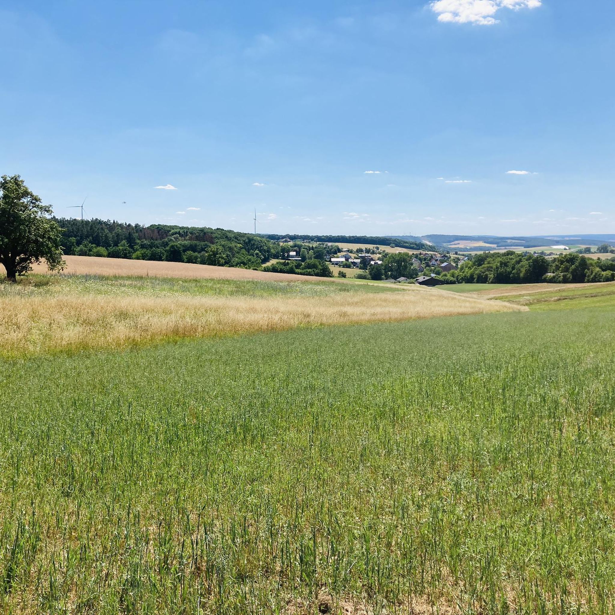
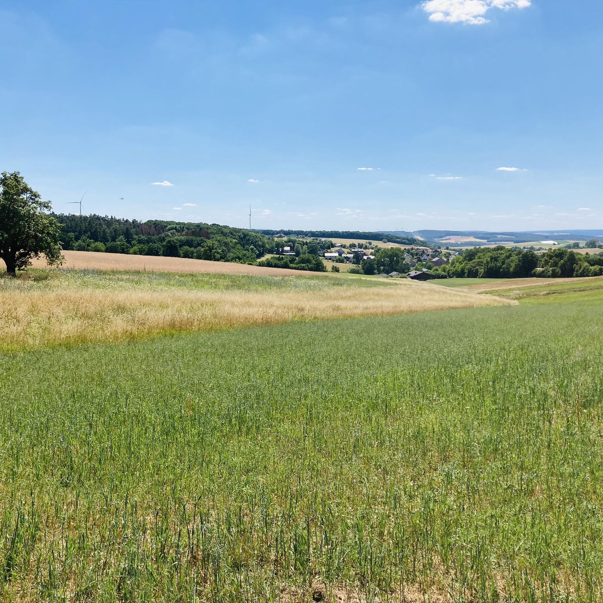
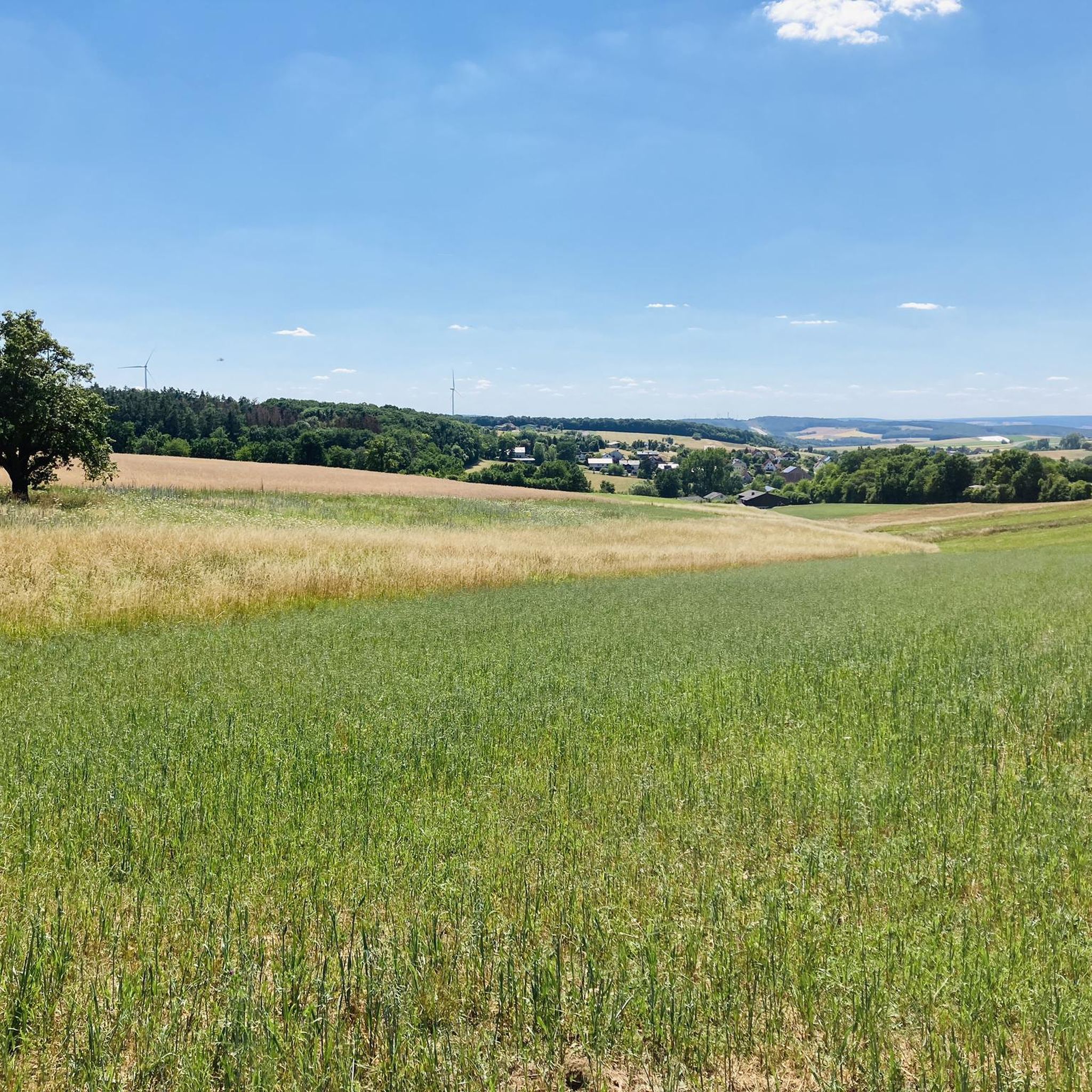
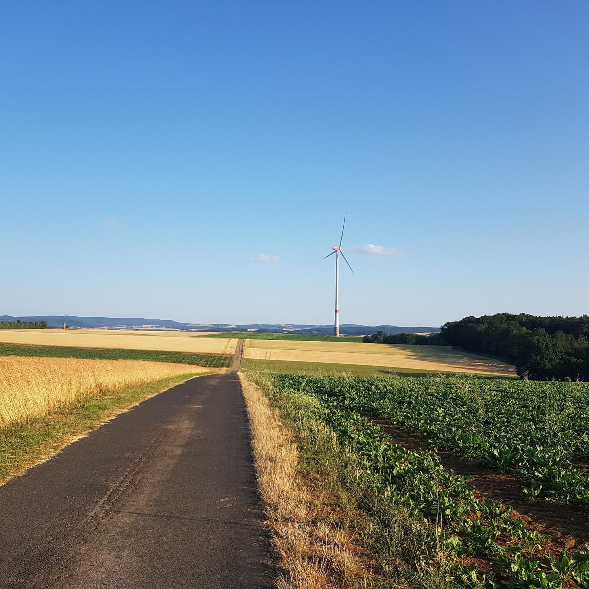
Tips from the Community

The filial church of the Immaculate Heart of Mary is located in Junkershausen, a district of the Bavarian municipality of Hollstadt in the Rhön-Grabfeld district of Lower Franconia. The patronage refers to the Immaculate Heart of Mary. For several centuries, the village of Junkershausen belonged to the Bildhausen monastery but had no church of its own. Even a century and a half after secularization, the people of Junkershausen had to attend services in the neighboring village of Wargolshausen. The long-cherished wish for their own church was only fulfilled between 1947 and 1949 with the construction of the current church. For this purpose, a separate quarry was even opened. On October 10, 1949, the church was consecrated by the Bishop of Würzburg, Julius Döpfner. Source: https://de.wikipedia.org/wiki/Unbeflecktes_Herz_Mari%C3%A4_(Junkershausen)
12
0

planted in 1648
1
0
Type: Tree veteran Access: publicly accessible Country: Germany State: Bavaria District: Rhön-Grabfeld Place: 97618 / Wargolshausen Geo-coordinates: E10°21.32028' / N50°21.77977' Tree species: Winter lime Age: approx. 375 years Girth: 6.9 m (measured) Measurement date (girth): 22.12.2021 Height: 13.0 m Single or group: Single tree Planting date (year): 1648 last visit: 22.12.2021 Condition: vital Source: Internet
16
0

German History 1949-1989 A visit is only recommended in good weather or with a mountain bike.
0
0

Added to the collection: komoot.com/de-de/collection/3600632/-naturdenkmaeler-besondere-baeume-und-weitere-schaetze-der-natur
0
0

The trails in the small wooded area belong to the school camp and are absolutely fantastic. The pump track next to the campsite is amazing... 🤩 And the best part: anyone who wants to can use the trails and the pump track at their own risk. Awesome! A big thank you to the municipality of Hendungen!
0
0

The former GDR border installation is definitely worth a look.
0
0

Frequently Asked Questions
How many hiking trails are available around Weigler?
There are over 360 hiking trails around Weigler, offering a wide range of options for different skill levels and preferences. This includes more than 210 easy routes and 140 moderate trails.
What kind of landscape can I expect when hiking in Weigler?
Hiking around Weigler features a landscape characterized by woodlands, gentle hills, and natural monuments. The trails traverse varied terrain, including forested paths and open areas, with generally moderate elevation gains.
Are there any easy hikes suitable for beginners or families in Weigler?
Yes, Weigler offers many easy routes. A great option is the English Oak Natural Monument – Rappershausen Border Tower loop from Rappershausen, which is 1.8 miles (3.0 km) long and takes about 46 minutes to complete, leading through woodlands and past a significant natural monument.
What do other hikers enjoy most about the trails in Weigler?
The trails in Weigler are highly rated by the komoot community, with an average score of 4.6 stars from over 750 reviews. Hikers often praise the quiet woodlands, well-marked paths, and the opportunity to explore natural features and historical landmarks.
Are there any circular walks available in Weigler?
Yes, many trails in Weigler are designed as circular routes. For example, the Wooden Bear Sculptures – Pedunculate Oak Natural Monument loop from Rappershausen is a moderate 5.9-mile (9.5 km) trail featuring unique wooden sculptures and a notable natural monument.
What are some notable landmarks or attractions I can see while hiking in Weigler?
While hiking, you can discover various points of interest. Consider visiting the Bad Königshofen Town Hall with carillon or the Market Square Fountain, Mellrichstadt. For natural beauty, the Irmelshausen Lake is also a beautiful spot.
Are there any longer, more challenging hikes in Weigler?
While most trails are easy to moderate, there are a few longer options. The White Tower – Findelberg Pilgrimage Church loop from Waltershausen is a moderate 8.4-mile (13.5 km) path that offers a mix of historical landmarks and scenic forest sections, providing a good challenge.
Can I find trails that lead to natural monuments in Weigler?
Absolutely. The region is known for its natural monuments. The Wooden Bear Sculptures – Pedunculate Oak Natural Monument loop from Rappershausen is one such trail that takes you past a significant natural monument.
What is a good moderate hike to experience the varied terrain of Weigler?
For a moderate hike that showcases the varied terrain, try the Hiking loop from Wargolshausen. This 11.3 km (7.0 miles) route offers a good mix of woodlands and open areas with moderate elevation changes.
Are there any trails that feature specific types of trees or forests?
Yes, you can find trails highlighting specific tree species. The Douglas fir loop from Wargolshausen is an easy 5.6 km (3.5 miles) route that takes you through areas featuring Douglas fir trees.
Most popular attractions around Weigler

Get inspired with the komoot mobile app


Explore more
Browse the best Hikes in other regions.
