The best gravel rides around Weigler
4.5
(9)
53
riders
31
rides
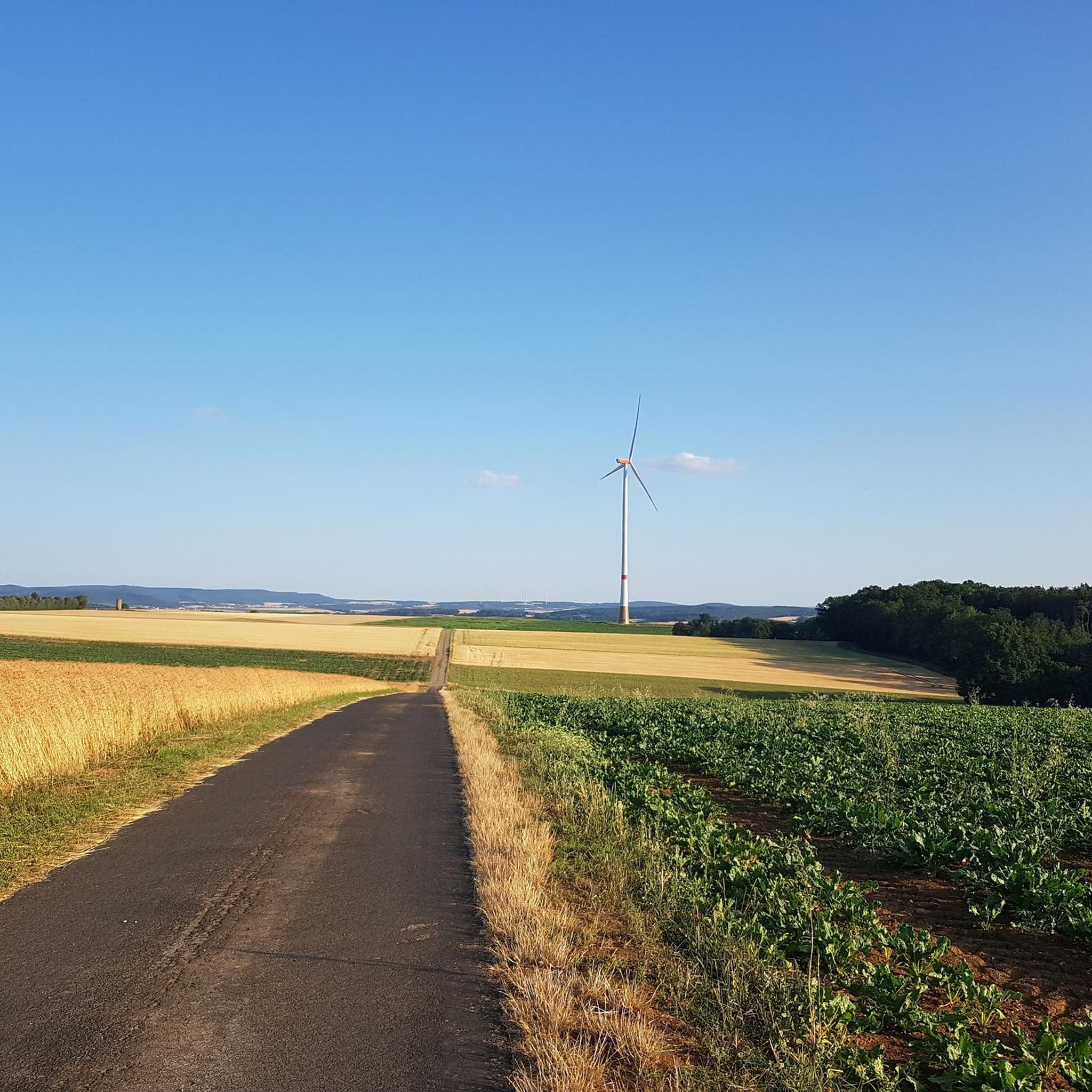
Gravel bike trails around Weigler are situated in a region characterized by a mix of rolling hills and river valleys, offering varied terrain for cycling. The landscape includes open fields, wooded sections, and routes that follow waterways like the Saale. Elevations are moderate, with some climbs reaching over 500 meters, providing a diverse experience for gravel bikers. The network offers options for different ability levels, from moderate to difficult routes.
Best gravel bike trails around Weigler
- The most popular gravel…
Last updated: October 19, 2026
4.7
(3)
16
riders
46.1km
02:34
310m
310m
Moderate gravel ride. Good fitness required. Mostly paved surfaces. Suitable for all skill levels.
9
riders
60.3km
03:34
620m
620m
Hard gravel ride. Very good fitness required. Mostly paved surfaces. Suitable for all skill levels.

10
riders
42.8km
02:37
410m
410m
Moderate gravel ride. Good fitness required. Mostly paved surfaces. Suitable for all skill levels.
4.5
(2)
5
riders
58.4km
03:26
500m
500m
Hard gravel ride. Very good fitness required. Mostly paved surfaces. Suitable for all skill levels.
4.5
(2)
5
riders
Moderate gravel ride. Good fitness required. Mostly paved surfaces. Suitable for all skill levels.
Get access to more routes and recommendations from other explorers.
Already have an account?
Our route recommendations are based on thousands of hikes, rides, and runs completed by other people on komoot.
Start today with a free account
Your next adventure awaits.
Tips from the Community

Ostheim is a nice little town and there is always something going on :-)
0
0

The town hall is currently being renovated (08/2026) and is unfortunately completely covered.
0
0

The historic Saale Bridge in Hollstadt is an 18th-century, three-span, round-arched stone bridge. It crosses the Franconian Saale and is now protected as a historical monument.
3
0
Historic stone arch bridge over the Saale.
4
0
River valley of the Fränkische Saale at the foot of the Rhön in northern Unterfranken. Predominantly flat to gently rolling profile along the river meadows; ideal for beginners, families, as well as pleasure cyclists and hikers. Well-maintained (mostly asphalted or finely gravelled) paths, largely away from motorized road traffic.
3
0

Opportunity for a break, right next to it an interesting board about the course of the Baunach.
5
0
Here you are at the front Baumachsee, a detour to the rear Baunachsee is worthwhile. There is a seating area as well as an information board about the course of the Baunach.
9
0

A nice little bridge here.
1
0
Frequently Asked Questions
How many gravel bike trails are available in the Weigler region?
There are over 50 gravel bike trails available around Weigler, offering a variety of routes for different preferences. The komoot community has explored these trails over 180 times.
What kind of terrain can I expect on gravel bike trails around Weigler?
The Weigler region features a diverse landscape with rolling hills, river valleys, open fields, and wooded sections. Routes often follow waterways like the Saale. While elevations are moderate, some climbs can reach over 500 meters, providing a varied experience.
Are there gravel bike routes suitable for beginners in Weigler?
The gravel bike trails in Weigler are generally categorized as moderate to difficult. There are no routes specifically listed as 'easy' in the current selection, so beginners should be prepared for some challenging sections and elevation changes.
Are there any long-distance gravel routes in Weigler?
Yes, many routes in Weigler offer significant distances. For example, the Cycle Path in the Elstal Valley – Bridge Over the Brend loop from Hollstadt is a moderate 46.1-mile (74.2 km) route that takes approximately 3 hours 20 minutes to complete.
Can I find circular gravel bike routes in Weigler?
Yes, the majority of gravel bike routes in Weigler are designed as circular loops, allowing you to start and end at the same point. An example is the Hilly landscape near Sülzfeld – Meiningen Market Square loop from Behrungen, a moderate 32.1-mile (51.7 km) trail.
What do other gravel bikers say about the trails in Weigler?
The gravel bike trails in Weigler are highly rated by the komoot community, with an average score of 4.6 stars from over 19 reviews. Riders often appreciate the varied terrain and scenic views offered by the region's rolling hills and river valleys.
Are there any interesting landmarks or attractions along the gravel bike trails?
Yes, you can find several interesting points along or near the trails. For instance, you might pass by the historic Bad Königshofen Town Hall with carillon or the bustling Marketplace Mellrichstadt. The region also features natural highlights like Irmelshausen Lake.
Are there places to stop for refreshments or a break along the routes?
Yes, some routes pass by facilities where you can take a break. For example, the Sulzfelder Lake – Beer Garden at Sulzfeld Bathing Lake loop from Bad Königshofen im Grabfeld goes past Sulzfelder Lake, which often has amenities. You might also find places like the Kirschgarten Park and Grill or a Lakeside kiosk in the area.
What is the best time of year for gravel biking in Weigler?
While specific seasonal details are not provided, the varied landscape of rolling hills and river valleys suggests that spring and autumn would offer pleasant temperatures and beautiful scenery. Summer can also be enjoyable, but always check local weather conditions before heading out.
Are there any routes that offer expansive views?
Yes, some routes are known for their scenic vistas. The View of Kreuzberg – View of the Rhön loop from Wülfershausen an der Saale is a difficult route specifically highlighted for its expansive views, including towards the Rhön region.
Are there any gravel routes that follow rivers or waterways?
Many routes in Weigler incorporate river valleys and follow waterways, such as the Saale. The Saale Bridge, Hollstadt – Jörgentor City Gate (Münnerstadt) loop from Saal an der Saale is a prime example, leading through river valleys and past historic towns.
Most popular attractions around Weigler

Get inspired with the komoot mobile app


Explore more
Browse the best Gravel rides in other regions.
