The best MTB trails around Hamme
4.1
(546)
6,860
riders
15
rides
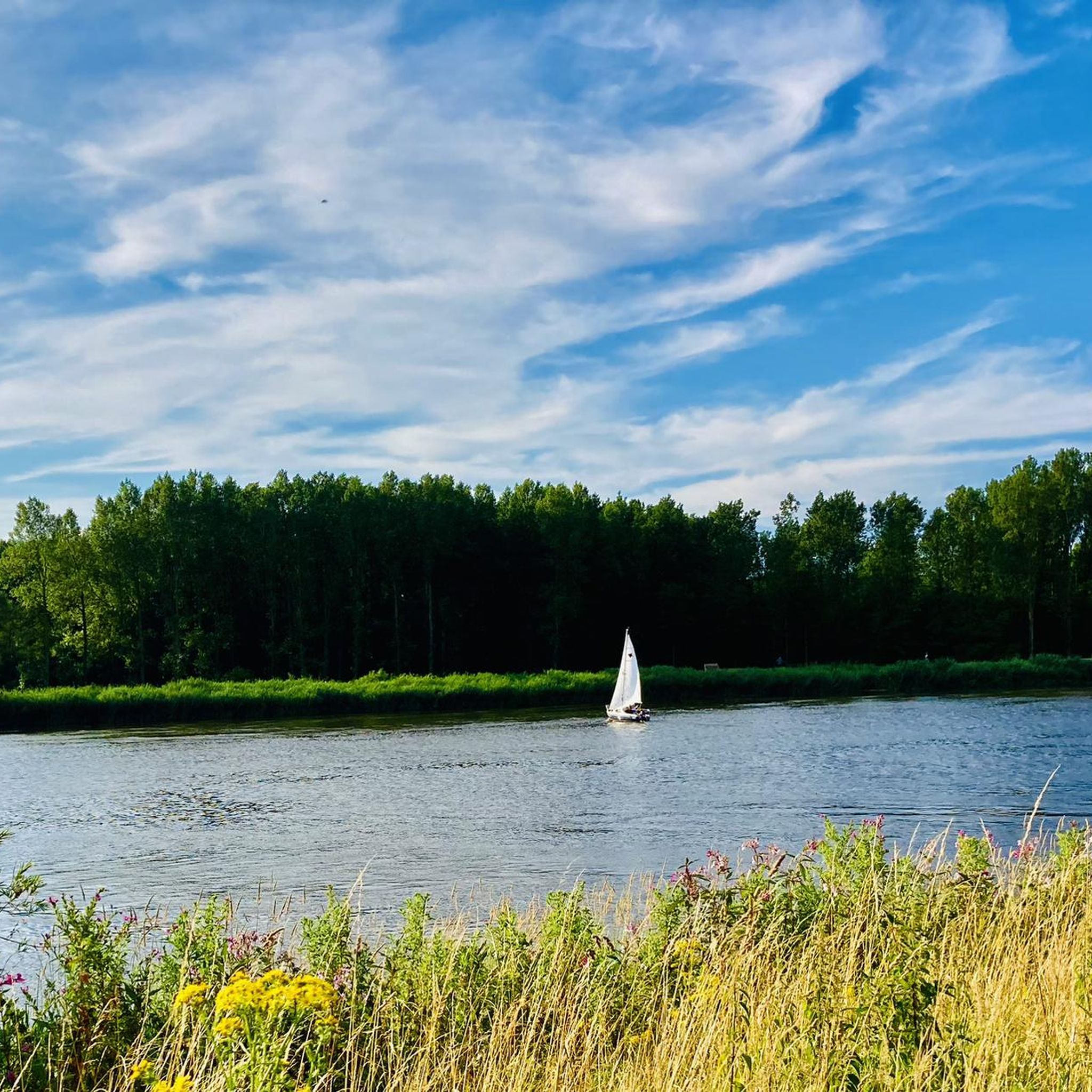
Mountain bike trails Hamme offer varied terrain for outdoor enthusiasts. The region is characterized by its riverine landscapes, with the Scheldt and Durme rivers shaping the environment. While generally flat, the area includes dykes that provide short, steep climbs and descents, adding technical interest to rides. Trails wind through forests, meadows, and along riverbanks, providing diverse riding experiences.
Best mountain bike trails around Hamme
- The most popular mountain bike trail is Hazenpad Singletrack – Ferry to Mariekerke loop from Hamme, a 28.7 miles (46.2 km) trail that takes 2 hours 56 minutes to complete. This moderate route follows river paths and singletrack sections.
- Another top favourite among local mountain bikers is Old Durme Gravel Path – Old Durme Meander Path loop from Hamme, a moderate 37.7 miles (60.8 km) path. This route features gravel paths along the Old Durme, offering scenic views of the water and surrounding nature.
- Local mountain bikers also love the Sombeke Singletrack – Waasmunster Bike Park loop from Hamme, a 30.4 miles (48.9 km) trail leading through varied terrain including singletrack, often completed in about 3 hours 13 minutes.
- Mountain biking around Hamme is defined by river paths, dykes, and forested sections. The network offers options for different ability levels, from easy riverside rides to more challenging singletrack.
- The routes in Hamme are highly rated by the komoot community with an average score of 4.2 stars from over 500 reviews. More than 8000 mountain bikers have used komoot to explore Hamme's varied terrain.
Last updated: July 6, 2026
33
riders
3.86km
00:16
0m
0m
Easy mountain bike ride. Great for any fitness level. Suitable for all skill levels.
4.8
(4)
27
riders
25.4km
01:30
30m
30m
Easy mountain bike ride. Great for any fitness level. Suitable for all skill levels.

Sign up for free
4.0
(2)
29
riders
Easy mountain bike ride. Great for any fitness level. Suitable for all skill levels.
4.3
(3)
21
riders
27.7km
01:46
30m
30m
Moderate mountain bike ride. Great for any fitness level. Advanced riding skills necessary.
9
riders
46.7km
02:46
180m
180m
Moderate mountain bike ride. Good fitness required. Suitable for all skill levels.
Get access to more routes and recommendations from other explorers.
Sign up for free
Already have an account?
Our route recommendations are based on thousands of hikes, rides, and runs completed by other people on komoot.
Start today with a free account
Your next adventure awaits.
Login or Signup

Other adventures around Hamme

Tips from the Community


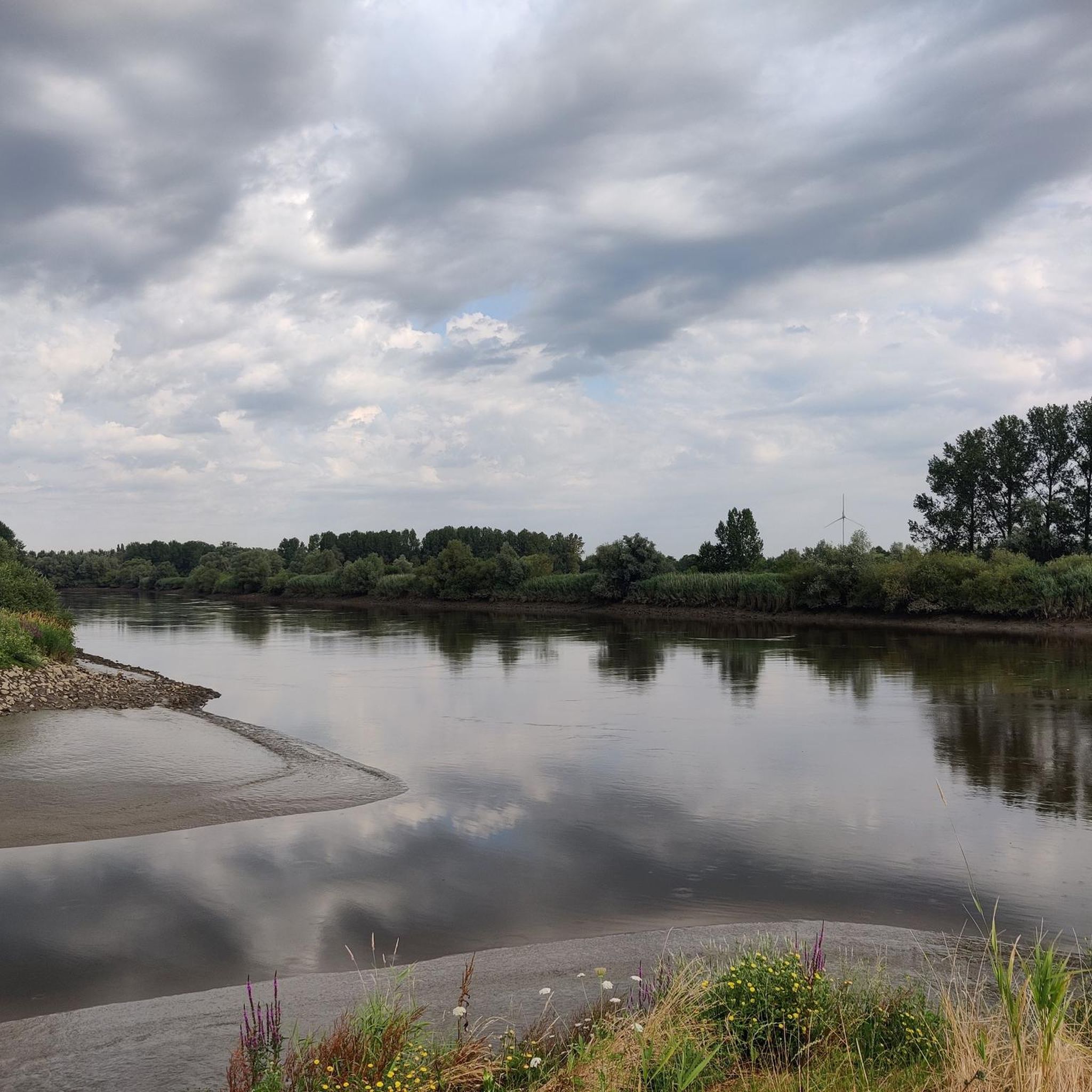
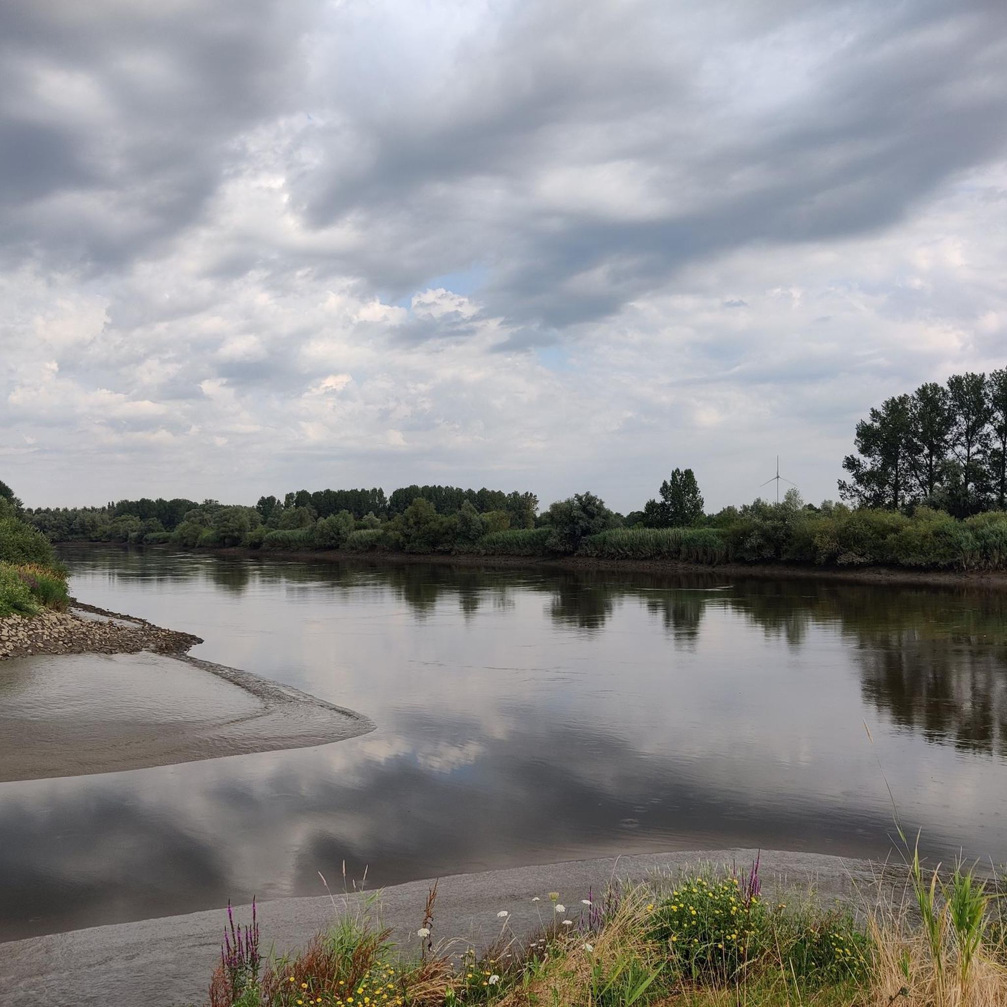
The towpath along the Scheldt between Drie Goten (Hamme) and Kastel (Moerzeke) is wonderful for cycling, walking, etc. Beautiful views of nature, the Scheldt guaranteed (in clear weather 😉).
9
0
The ferry service is essential as a connection between the two banks of the Scheldt (Hamme Driegoten - Bornem Weert) for cyclists and pedestrians. Not only for tourism, but also for commuters.
13
0
Name for the hamlet in the east of Hamme near the Scheldt, which here forms the border with the province of Antwerp. Old toponym referring to the three inlets, gutters or holes in the Scheldt bank opposite Weert, between the confluence with the Durme and the border with Moerzeke. On the map of Moerzeke from 1571 by P. Buck and F. Horenbault indicated with "Dry Ghote" as a place with limited development where several roads and dikes converged; the representation of a sailing boat refers to an old landing place with Scheldt ferry. The street used to be partly called Conckeldijkstraat and formed part of the road connection that leads from the municipal centre over the Oostkouter to the ferry of Driegoten. The Driegoten-Weert foot ferry still exists here, now mainly for the purpose of walking and cycling tourism. (Inventory of Immovable Heritage)
14
0
Frequently Asked Questions
How many mountain bike trails are there in Hamme, and what are their difficulty levels?
Hamme offers a diverse selection of mountain bike trails. There are 14 routes available, with 5 classified as easy, 8 as moderate, and 1 as difficult, catering to various skill levels.
What kind of terrain can I expect on mountain bike trails in Hamme?
Mountain bike trails in Hamme feature varied terrain. While generally flat, especially along the Scheldt and Durme Rivers, you'll encounter dykes that provide short, steep climbs and descents. Routes wind through forests, meadows, and along riverbanks, with options for singletrack and gravel paths. The region also boasts a dedicated 'Skills park Hamme' with technical features like drops, bridges, and stairs.
Are there mountain bike trails suitable for beginners in Hamme?
Yes, Hamme has several easy mountain bike trails perfect for beginners. A good option is the Buntwegel – Meulenbroek Pond Trail loop from Baasrode, which is 25.3 km long and offers a gentle introduction to the area's scenic routes.
Are there any challenging mountain bike trails for experienced riders in Hamme?
For experienced riders seeking a challenge, Hamme offers routes with technical sections and varied terrain. The region's 'Skills park Hamme' near Dendermonde provides a 1 km blue-rated singletrack with drops, bridges, and stairs, ideal for honing technical abilities. Additionally, some longer routes incorporate singletrack sections and dykes for more demanding rides.
Are there family-friendly mountain bike trails in Hamme?
Yes, many of Hamme's trails are suitable for families, especially the easier routes that follow the flat river paths. These provide a relaxed cycling experience through picturesque scenery. Always check the specific route details on komoot for distance and elevation to ensure it matches your family's ability.
Are mountain bike trails in Hamme dog-friendly?
While many natural areas in Hamme are accessible, specific rules for dogs on mountain bike trails can vary. It's generally advisable to keep dogs on a leash, especially in nature reserves or areas with wildlife. Always check local signage or regulations at the trailhead to ensure a pleasant experience for everyone.
What can I see along the mountain bike trails in Hamme?
Mountain bike trails in Hamme offer scenic views of the Scheldt and Durme Rivers, winding through lush forests and meadows. You can also explore nearby attractions such as Fort Steendorp, Berlare Castle Park, or the tranquil Peat Pits of Berlare Broek, which are often close to the routes.
Is parking available near the mountain bike trails in Hamme?
Parking availability varies depending on the starting point of each trail. Many routes begin in or near Hamme's town center or at designated recreational areas, where public parking is often available. It's recommended to check the specific tour details on komoot for information on parking at the trailhead you plan to use.
What do other mountain bikers enjoy the most about mountain biking in Hamme?
The mountain bike trails in Hamme are highly rated by the komoot community, with an average score of 4.2 stars from over 590 reviews. Riders often praise the varied terrain, including river paths, dykes, and singletrack sections, as well as the scenic natural beauty along the Scheldt and Durme rivers.
Are there any circular mountain bike routes in Hamme?
Yes, many of the mountain bike routes in Hamme are designed as circular loops, allowing you to start and end at the same point. An example is the Old Durme Gravel Path – Old Durme Meander Path loop from Hamme, which is a moderate 60.8 km route featuring gravel paths along the Old Durme.
What is the best time of year for mountain biking in Hamme?
Mountain biking in Hamme is enjoyable throughout much of the year. Spring and autumn offer pleasant temperatures and vibrant scenery. Summer can also be great, though trails might be busier. During winter, some trails, especially those along riverbanks, might be muddy or subject to flooding, so it's always wise to check local conditions before heading out.
Are there cafes or pubs near the mountain bike trails in Hamme?
Yes, Hamme and its surrounding villages offer various cafes and pubs where you can refuel after your ride. Many routes pass through or near populated areas, making it convenient to find a spot for a drink or a meal. You can often find specific recommendations or points of interest marked on komoot maps.
Most popular attractions around Hamme

Get inspired with the komoot mobile app


Explore more
Browse the best MTB trails in other regions.
