The best walks and hikes on Vancouver Island
4.6
(2175)
17,932
hikers
545
hikes
Hiking on Vancouver Island offers a diverse range of landscapes, from rugged coastlines and sandy beaches to ancient forests and mountainous terrain. The island features extensive trail networks that traverse varied ecosystems, including old-growth woodlands and alpine environments. Hikers can explore dramatic shorelines, ascend peaks, and discover serene lakes and rivers. This region provides a restorative connection to nature through its distinct physical features.
Best hiking trails on Vancouver Island
- The most popular hiking route is Kinsol Trestle Trail, a 2.2 miles (3.5 km) trail that takes about 1 hour to complete. This easy path features a historic wooden trestle bridge spanning the Koksilah River.
- Another top favourite among local hikers is Mount Ozzard — Ucluelet, British Columbia, a moderate 5.6 miles (9.0 km) path. This route involves a steady ascent, offering panoramic views of the surrounding Ucluelet area.
- Local hikers also love the Jack Point trail — Biggs Park, a 3.0 miles (4.7 km) trail leading through coastal forest and along the shoreline, often completed in about 1 hour 15 minutes.
- Hiking on Vancouver Island is defined by rugged coastlines, ancient forests, and mountainous terrain. The network offers options for various ability levels, from easy coastal walks to challenging multi-day treks.
- The routes in Vancouver Island are highly rated by the komoot community with an average score of 4.6 stars from over 1800 reviews. More than 15000 hikers have used komoot to explore Vancouver Island's varied terrain.
Last updated: August 26, 2026
4.7
(18)
289
hikers
3.50km
00:56
40m
40m
Easy hike. Great for any fitness level. Easily-accessible paths. Suitable for all skill levels.
4.3
(8)
186
hikers
7.88km
03:53
880m
880m
Moderate hike. Good fitness required. Easily-accessible paths. Suitable for all skill levels.

Sign up for free
4.7
(17)
177
hikers
7.47km
01:58
60m
60m
Moderate hike. Great for any fitness level. Mostly accessible paths. Sure-footedness required.
5.0
(5)
75
hikers
8.06km
02:26
260m
260m
Moderate hike. Good fitness required. Easily-accessible paths. Suitable for all skill levels.
3.8
(5)
77
hikers
9.03km
03:12
520m
520m
Moderate hike. Good fitness required. Easily-accessible paths. Suitable for all skill levels.
Get access to more routes and recommendations from other explorers.
Sign up for free
Already have an account?
Our route recommendations are based on thousands of hikes, rides, and runs completed by other people on komoot.
Start today with a free account
Your next adventure awaits.
Login or Signup
Popular around Vancouver Island
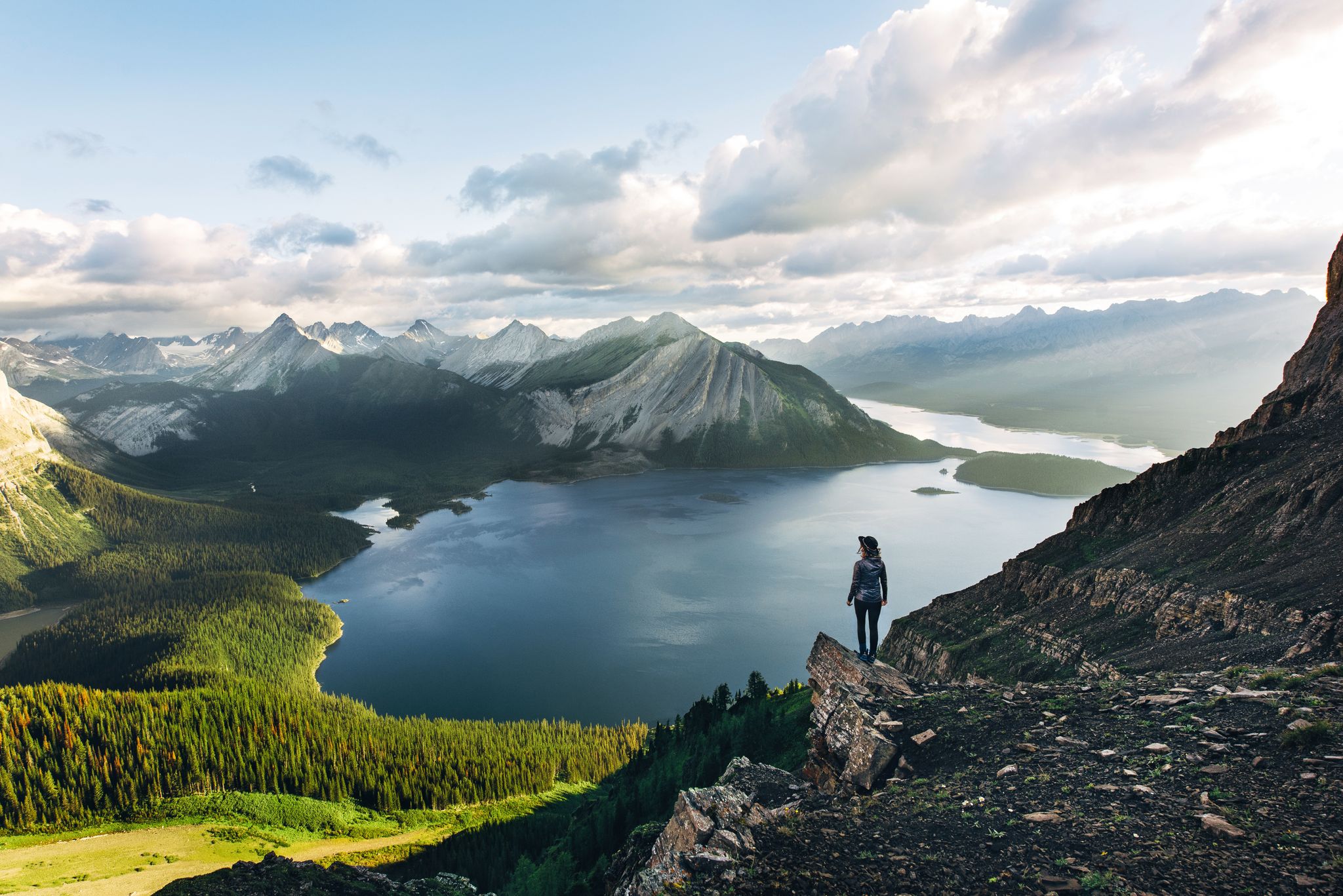
Long-distance hiking in Canada – between mountains and coast
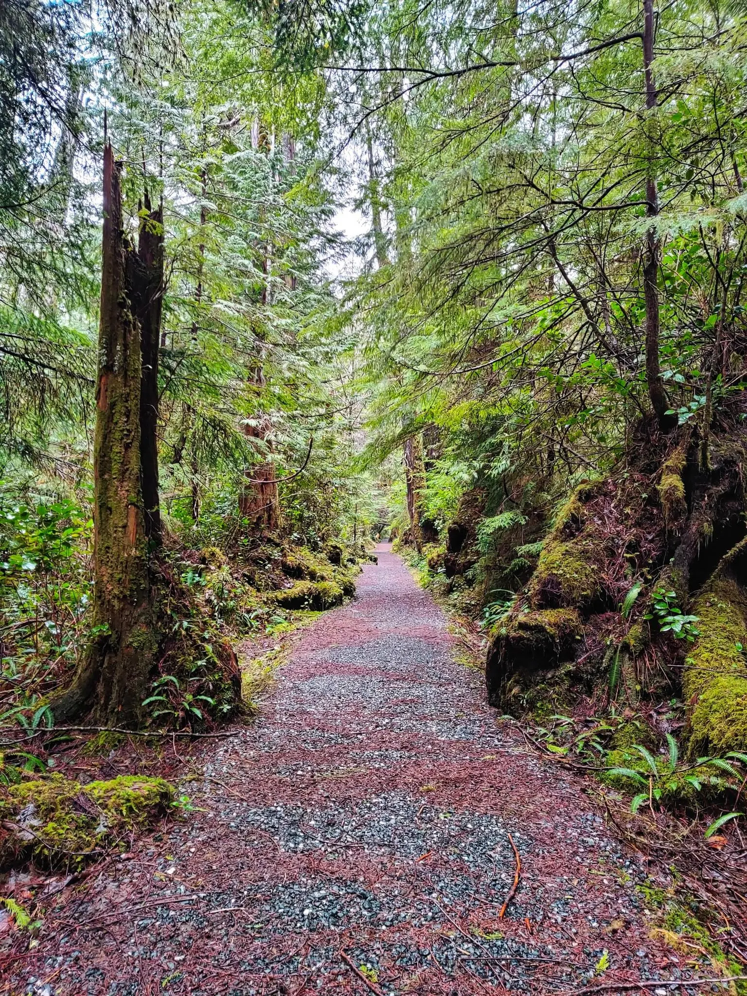
North Coast Trail — Vancouver Island's Wildest Adventure
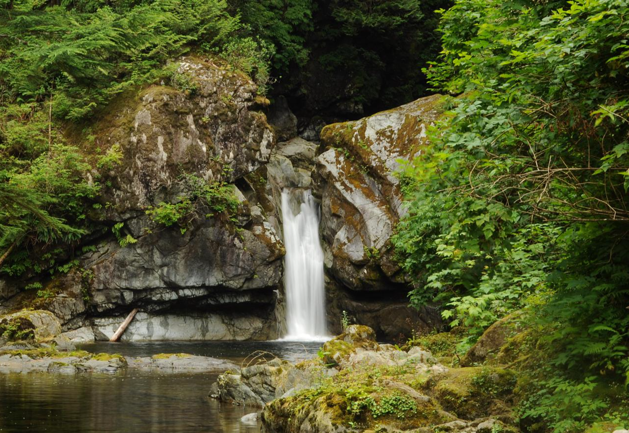
West Coast Trail — Seven days on the Graveyard of the Pacific

Pacific charm and peak happiness in British Columbia
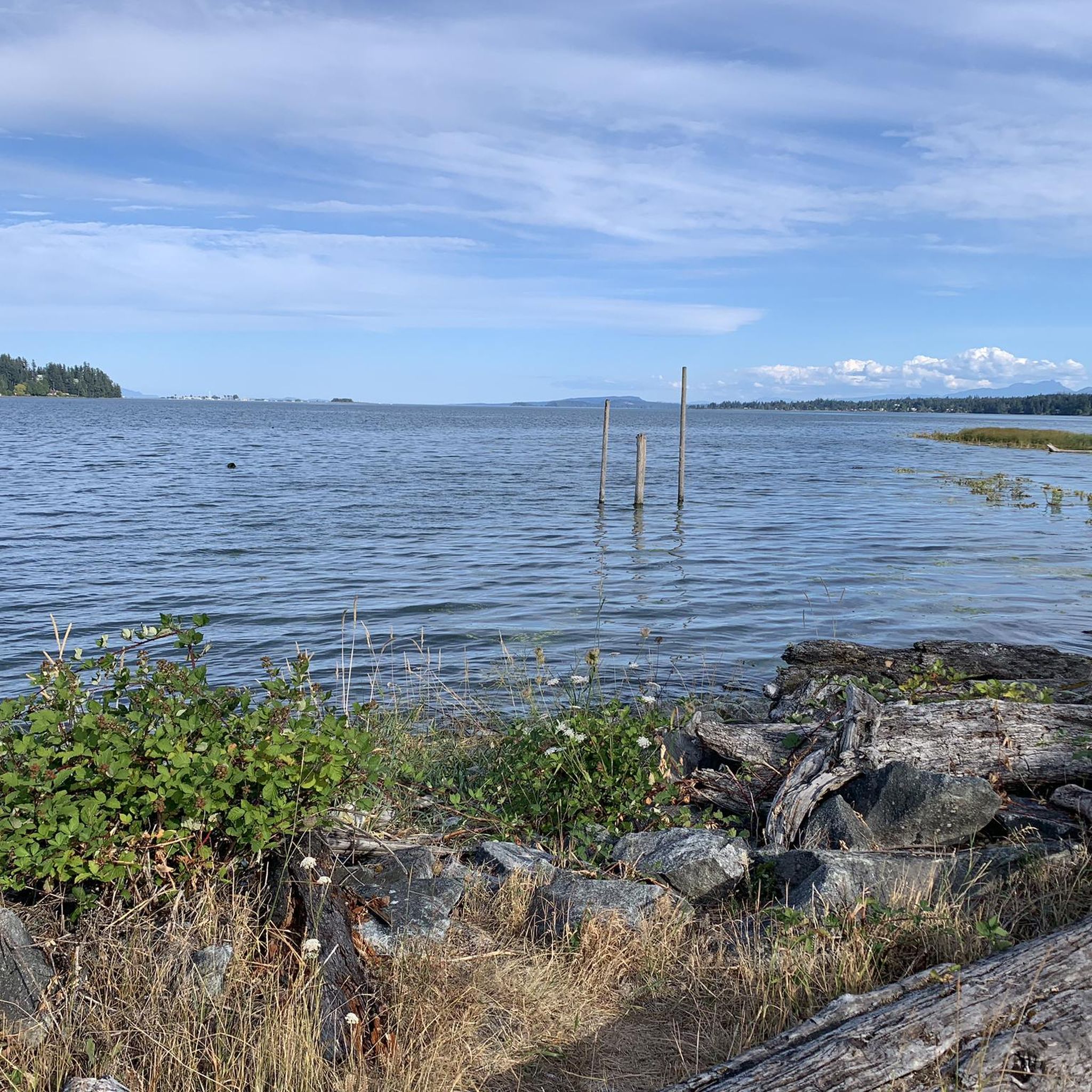
Cycling on Vancouver Island
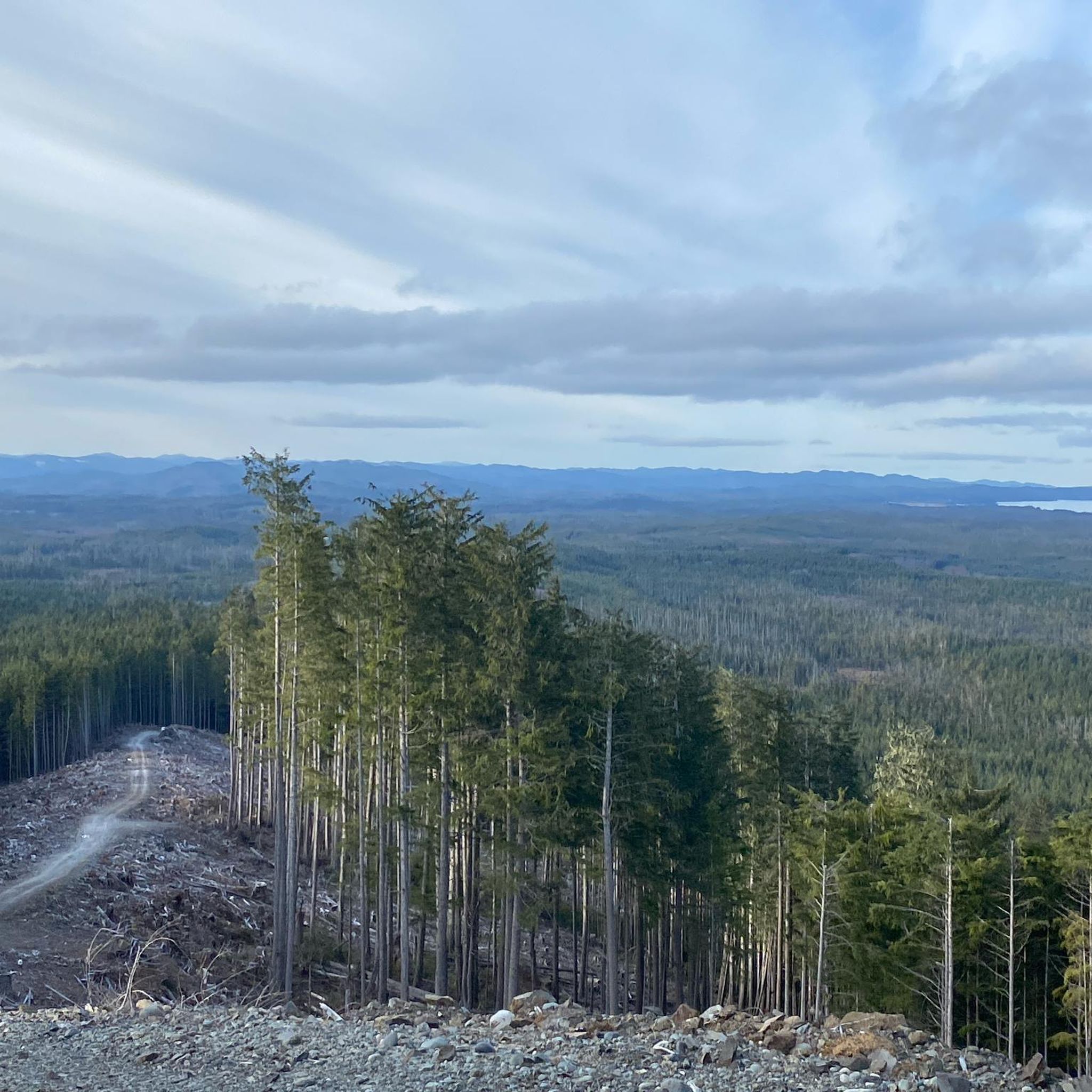
MTB Trails on Vancouver Island
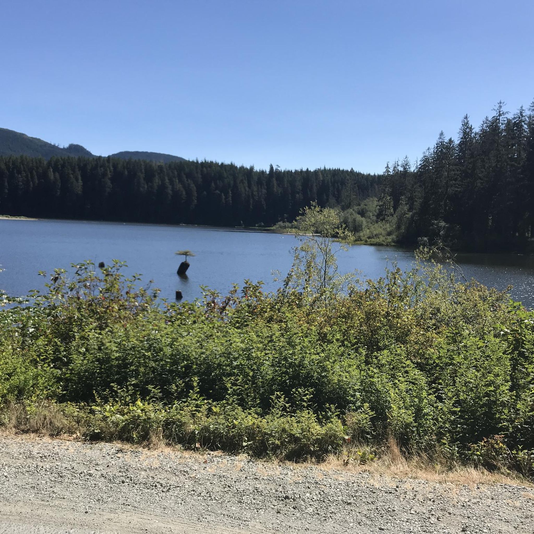
Running Trails on Vancouver Island
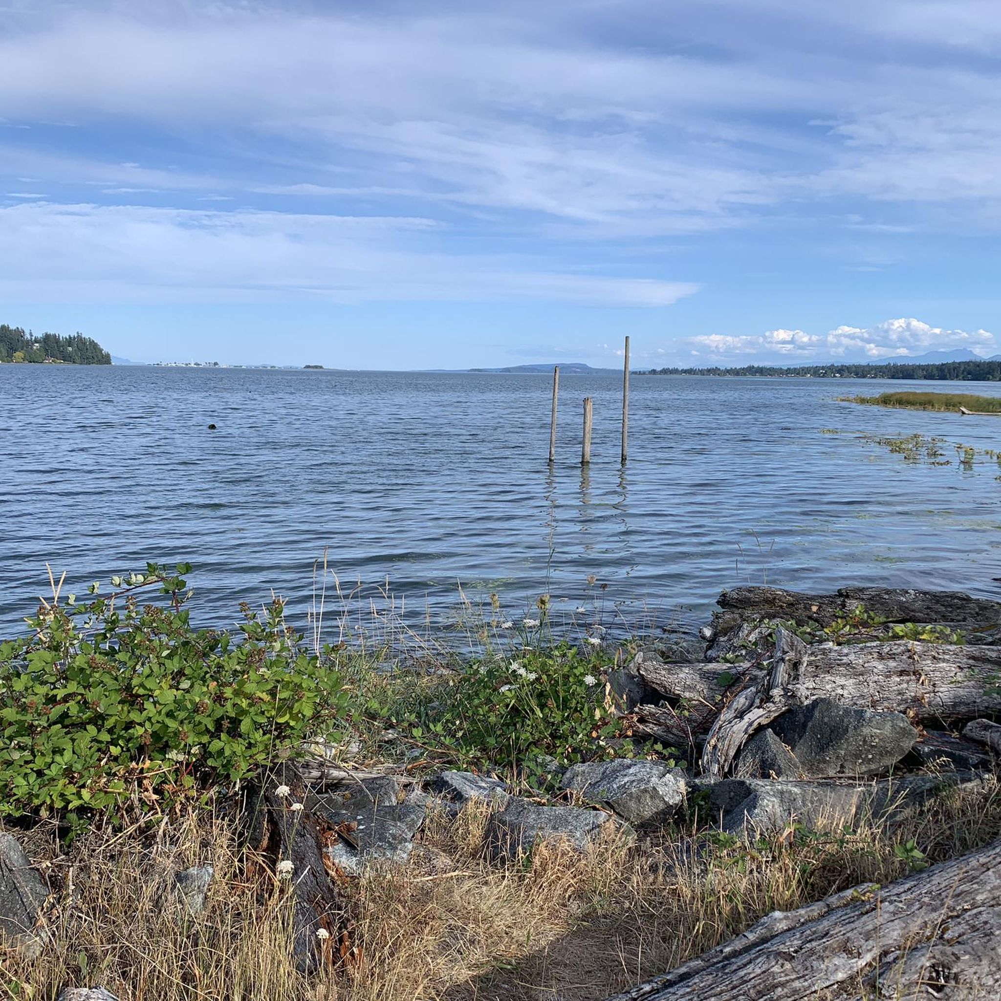
Road Cycling Routes on Vancouver Island
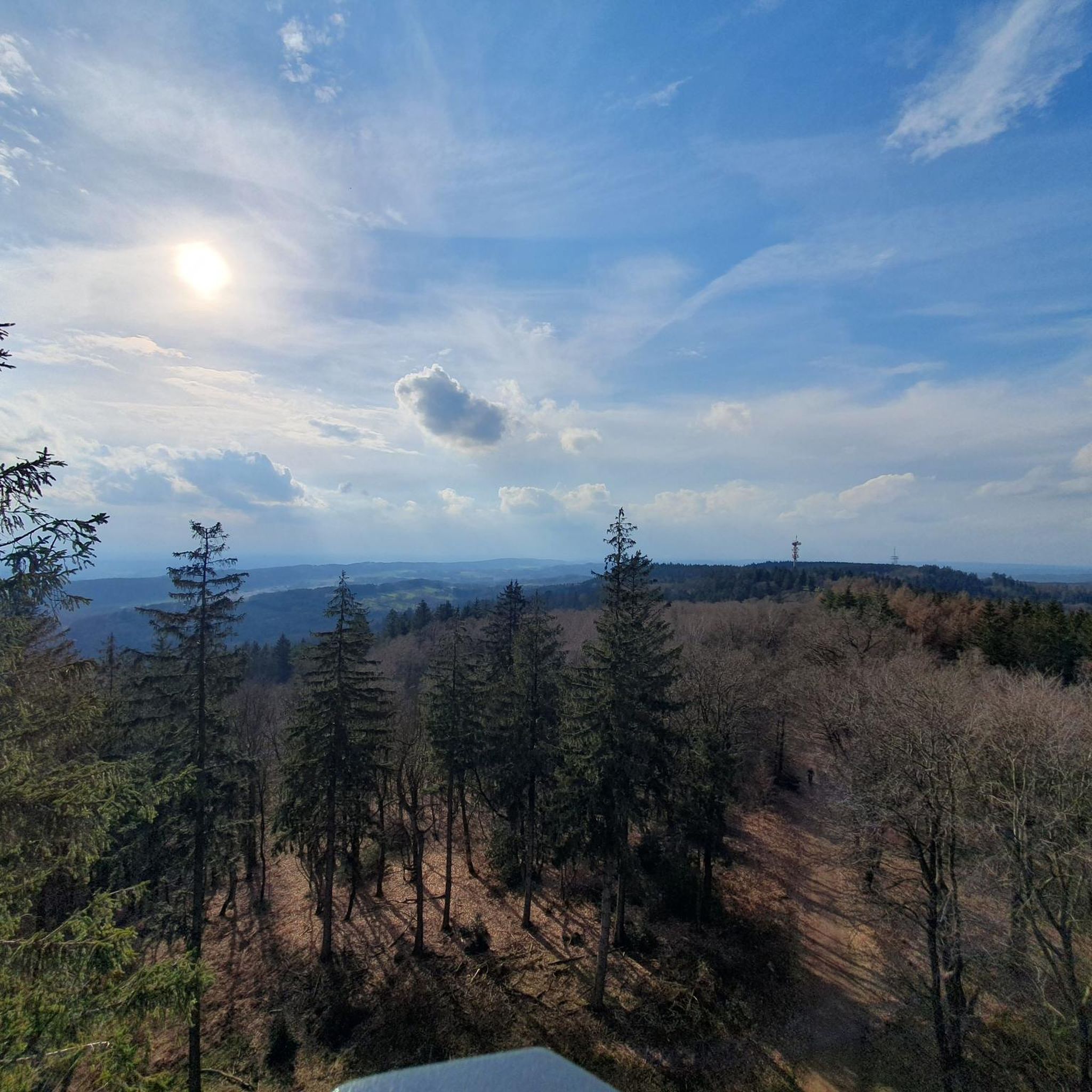
Gravel biking on Vancouver Island
Other adventures on Vancouver Island


Tips from the Community

The path leading down to the Morrell Lake viewpoint transitions into well-maintained dirt and gravel tracks that are mostly flat and comfortable for hikers of all skill levels. Because this area is much more secluded, it is a prime spot for photography, or birdwatching without the crowds.
0
0
The park features a mix of dense forest areas and open spaces, meaning your views change as you explore. In the spring, you will see bright new growth, while the fall brings crisp air and beautiful autumn colors.
0
0

The Copper Mine Trail provides a steady climb through the western end of East Sooke Regional Park, tracing the area's industrial history. As the path winds through dense forest toward the rugged coastline, you might spot remnants of 19th-century mining shafts and notched stumps left behind by early loggers. A short detour to the summit of Mount Maguire rewards you with sweeping views of the surrounding parkland before the trail descends to meet the famous Coast Trail. Or add on the Anderson Trail for a great loop hike that takes in all the area has to offer. It’s an ideal choice for those who enjoy a mix of deep-woods exploration and a glimpse into Vancouver Island’s industrial past.
0
0
A short but steep route leads up to the Mount Ozzard radio tower from here. It's not the most exciting hike you'll ever do but getting the view from the top makes it worth it.
0
0
The way up is on a gravel road, so not the most inspiring trail. However, if you manage to reach the summit on a clear day you'll have incredible panoramic views that are worth the slog uphill.
0
0

Cobalt Lake is a beautiful alpine lake nestled below 5040 Peak, known for its vivid blue water and picturesque mountain backdrop. The lake sits at approximately 1,250 meters in elevation and is a popular overnight stop for hikers headed to the summit. There are tent pads and the nearby Hišimy̓awiƛ Alpine Hut for shelter, and the sunsets over the lake and surrounding peaks make it a memorable high-country experience.
0
0
The Hišimy̓awiƛ Alpine Hut, perched at 1,350 meters on the slopes of 5040 Peak, is a modern backcountry shelter operated by the Alpine Club of Canada’s Vancouver Island section. Named by the Ucluelet First Nation, “Hišimy̓awiƛ” means “gather together,” reflecting its welcoming role for hikers, skiers, and mountaineers. The hut features solar power, a high-efficiency wood pellet stove, propane cooktops, and breathtaking views of surrounding peaks and alpine lakes.
0
0
5040 Peak is a fantastic, rugged summit, rising to 5,040 feet (ca. 1,536 m) between Port Alberni and Tofino. The hike to the top is steep and challenging, gaining nearly 900 meters over 6.9 kilometers, but your reward is incredible panoramic views of Triple Peak, Cats Ear Peak, and dramatic cloud inversions. Many hikers camp near Cobalt Lake en route to the summit, making it a popular overnight adventure with unforgettable sunsets.
0
0
Frequently Asked Questions
How many hiking trails are available on Vancouver Island?
Vancouver Island offers a vast network of over 480 hiking routes. These trails cater to various skill levels, with approximately 280 easy routes, 165 moderate routes, and 40 difficult routes available for exploration.
What kind of landscapes can I expect to see while hiking on Vancouver Island?
Hiking on Vancouver Island provides access to incredibly diverse landscapes. You can explore rugged coastlines and sandy beaches, ancient forests with towering trees, and challenging mountainous terrain. The island's trails traverse varied ecosystems, including old-growth woodlands, alpine environments, and areas with serene lakes and rivers.
Are there any easy, family-friendly walks on Vancouver Island?
Yes, Vancouver Island has many easy and family-friendly options. For instance, the Kinsol Trestle Trail is an easy 3.5 km path featuring a historic wooden trestle bridge. Another gentle option is the Whiffin Spit Trail, offering a pleasant coastal walk. Many provincial parks also offer well-maintained, shorter trails suitable for families, such as those found in Thetis Lake Regional Park.
Can I find hikes with waterfalls on Vancouver Island?
Absolutely. Elk Falls Provincial Park, near Campbell River, is a prime location for waterfall hikes, featuring a dramatic 25m-high waterfall accessible via a steel suspension bridge. You can also find unique geological features like the Hole-in-the-Wall, which is a waterfall flowing through a rock formation.
Are there any trails that offer spectacular views?
Many trails on Vancouver Island boast incredible views. The Mount Ozzard trail near Ucluelet offers panoramic vistas after a steady ascent. For stunning coastal scenery, the Wild Pacific Trail in Ucluelet provides spectacular ocean views. Jocelyn Hill in Gowlland Tod Provincial Park also offers expansive views of Saanich Inlet and Finlayson Arm.
What are some challenging multi-day hiking options on Vancouver Island?
For experienced hikers seeking a challenge, Vancouver Island is home to world-renowned multi-day treks. The West Coast Trail is a demanding 75km journey through rainforests and beaches. A great alternative is the Juan de Fuca Trail, a 47km path with similar rugged coastal scenery. Further north, Cape Scott Park offers the challenging North Coast Trail, a 58km remote wilderness experience.
Are there any unique natural attractions or landmarks to explore near the trails?
Yes, Vancouver Island is rich in unique natural attractions. You can visit the impressive Kinsol Trestle, a historic wooden bridge. Explore ancient forests at Cathedral Trail, MacMillan Park, home to the massive Big Tree (Douglas-fir). The island also features fascinating cave systems like Little Huson Caves and Horne Lake Caves Provincial Park.
What do other hikers say about the trails on Vancouver Island?
The hiking routes on Vancouver Island are highly rated by the komoot community, with an average score of 4.6 stars from over 1800 reviews. Hikers often praise the diverse terrain, from coastal paths to forest trails, and the opportunity for a restorative connection to nature.
Are there any coastal walks where I can enjoy ocean views?
Vancouver Island is famous for its dramatic coastlines. The Wild Pacific Trail in Ucluelet offers spectacular ocean views and insights into the region's natural history. The Jack Point trail also leads through coastal forest and along the shoreline, providing beautiful seaside vistas.
Can I bring my dog on hikes on Vancouver Island?
Dog-friendly policies vary by park and trail on Vancouver Island. Many regional parks and some provincial parks allow dogs on leash, but it's always best to check the specific regulations for the trail you plan to visit. For example, the Whiffin Spit Trail is known to be a popular spot for dog walkers.
Are there any loop trails on Vancouver Island?
Yes, you can find several loop trails on Vancouver Island. Mount Benson Regional Park offers an 8 km strenuous loop trail with panoramic views. Many shorter trails within regional and provincial parks are also designed as loops, providing a convenient way to explore without retracing your steps.
What is the best time of year for hiking on Vancouver Island?
Vancouver Island offers hiking opportunities year-round, but the best time depends on the type of hike. Spring and fall provide mild temperatures and fewer crowds, ideal for coastal and forest trails. Summer is perfect for higher elevation and multi-day treks, though some alpine areas may still have snow. Winter hiking is possible in lower elevations, but requires appropriate gear and caution due to wetter conditions.
Where can I experience ancient forests or old-growth trees?
Vancouver Island is renowned for its ancient forests. MacMillan Provincial Park, home to Cathedral Grove, allows you to walk among colossal Douglas-fir trees, some over 800 years old. The Wild Pacific Trail also winds through ancient trees, offering a glimpse into the region's natural history.
Most popular routes on Vancouver Island
Most popular attractions on Vancouver Island

Get inspired with the komoot mobile app


Explore more
Browse the best Hikes in other regions.
