The best traffic-free bike rides on Vancouver Island
4.8
(38)
380
riders
29
rides
No traffic gravel bike trails on Vancouver Island traverse a diverse landscape characterized by rugged coastlines, ancient forests, and coastal mountains. The region features an extensive network of converted railway lines and forest service roads, providing varied terrain for gravel biking. These routes often follow river valleys, pass through temperate rainforests, and offer views of the island's natural features.
Best no traffic gravel bike trails on Vancouver Island
- The most popular no traffic gravel bike trail is Lake Cowichan – 66 Mile Trestle loop from Duncan, a 44.6 miles (71.8 km) trail that takes 4 hours 32 minutes to complete. This route explores the extensive gravel paths of the Cowichan Valley, featuring historic trestles.
- Another top favourite among local gravel bikers is 66 Mile Trestle – Holt Creek Trestle loop from Lake Cowichan, a difficult 34.7 miles (55.8 km) path. This trail offers a challenging ride through forested areas, connecting multiple trestles.
- Local gravel bikers also love the Cowichan Valley Trail – Kinsol Trestle loop from Shawnigan Beach Estates Greenbelt, a 41.6 miles (66.9 km) trail leading through the Cowichan Valley, often completed in about 5 hours 30 minutes.
- Gravel biking on Vancouver Island is defined by converted railway lines, extensive forest service roads, and diverse coastal and forest landscapes. The network offers options for different ability levels, from moderate to difficult routes.
- The routes in Vancouver Island are highly rated by the komoot community with an average score of 4.8 stars from more than 30 reviews. More than 300 gravel bikers have used komoot to explore Vancouver Island's varied terrain.
Last updated: September 4, 2026
5.0
(1)
32
riders
70.4km
04:29
590m
590m
Hard gravel ride. Very good fitness required. Mostly paved surfaces. Suitable for all skill levels.
5.0
(1)
21
riders
55.8km
03:49
500m
500m
Hard gravel ride. Very good fitness required. Mostly paved surfaces. Suitable for all skill levels.

Sign up for free
17
riders
Hard gravel ride. Very good fitness required. Mostly paved surfaces. Suitable for all skill levels.
5.0
(1)
21
riders
29.4km
01:39
250m
250m
Moderate gravel ride. Good fitness required. Mostly paved surfaces. Suitable for all skill levels.
4.7
(6)
23
riders
59.6km
03:56
510m
510m
Hard gravel ride. Very good fitness required. Mostly paved surfaces. Suitable for all skill levels.
Get access to more routes and recommendations from other explorers.
Sign up for free
Already have an account?
Our route recommendations are based on thousands of hikes, rides, and runs completed by other people on komoot.
Start today with a free account
Your next adventure awaits.
Login or Signup
Popular around Vancouver Island
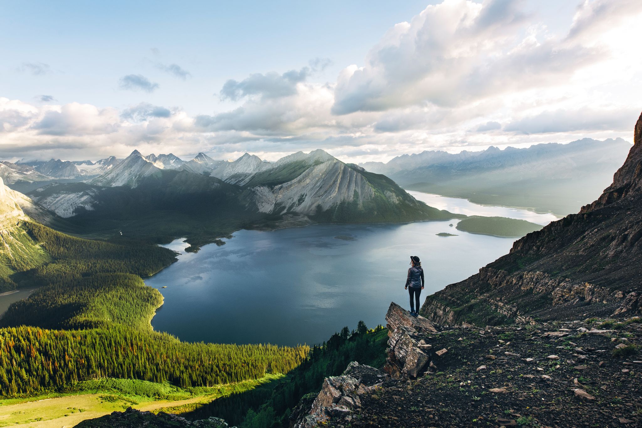
Long-distance hiking in Canada – between mountains and coast
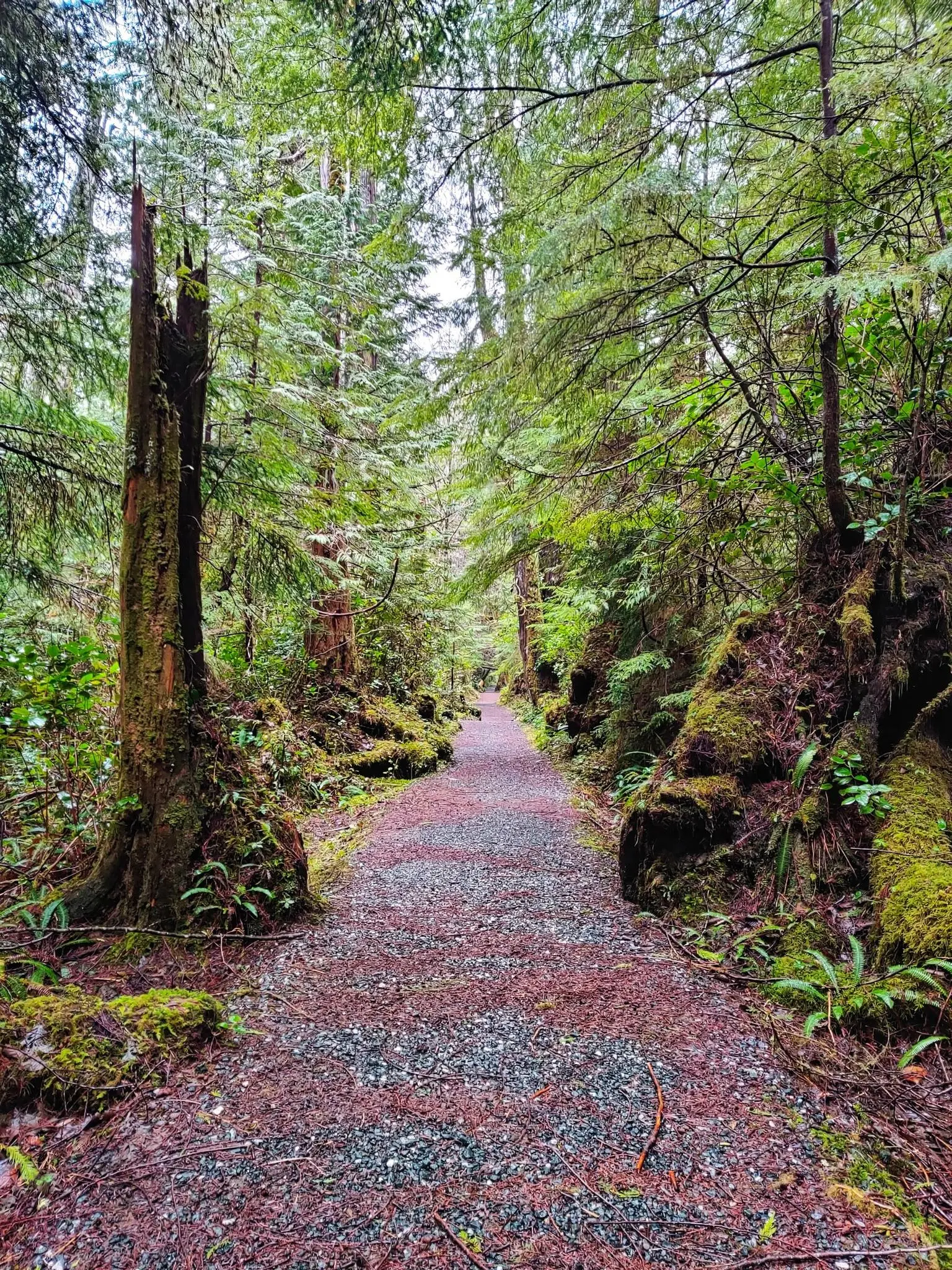
North Coast Trail — Vancouver Island's Wildest Adventure
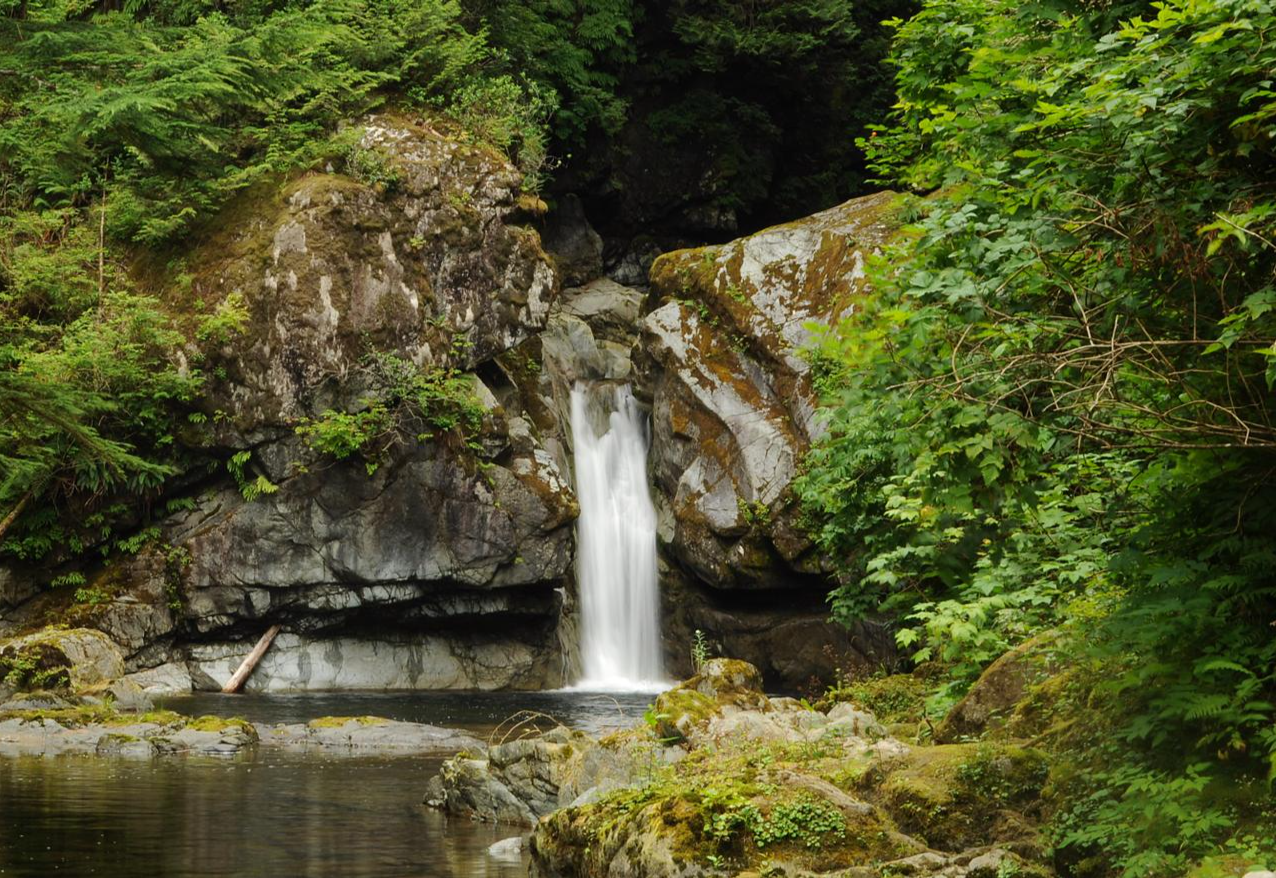
West Coast Trail — Seven days on the Graveyard of the Pacific

Pacific charm and peak happiness in British Columbia
Traffic-free bike rides on Vancouver Island
Traffic-free bike rides on Vancouver Island
Other adventures on Vancouver Island


Tips from the Community

There are a bunch of seaplanes and other small aircraft that are usually parked along the fence opposite the Riverway Path. You can check them out as you pass by.
0
0

A decent sized gravel parking area off Koksilah Road. The Koksilah Ancient Forest Trailhead begins near the 8 km mark on Koksilah Road, where a gated logging road branches off and is blocked by rocks marked with pink tape. Most hikers park here and walk uphill about 10 minutes to reach the start of the forest trail, marked with blue flagging tape on the right.
0
0

Cumberland Community Forest stretches more than 500 acres, and is mostly second-growth coastal forest with a web of well-maintained trails. These trails are open to hiking, mountain biking, trail running.
0
0

You can also grab a coffee and take it down to one of the picnic tables along Marine Drive. A great place to look across towards Comox Marina and Goosespit.
0
0

Cool little airport that has some interesting aircraft to check out.
0
0
Baked Fresh Daily… Get There Early Before Their Famous Jelly Donuts Are Gone !!<>!!
0
0

Information about the Kinsol Trestle can be found on the Cowichan Valley Regional District (CVRD) website, including a fact sheet on its history and a brochure. https://www.cvrd.ca/1379/Kinsol-Trestle
2
0
Frequently Asked Questions
How many traffic-free gravel bike trails are available on Vancouver Island?
Vancouver Island offers a wide selection of traffic-free gravel bike trails, with over 30 routes specifically curated for this experience. These routes range from moderate to difficult, providing diverse options for various skill levels.
What kind of scenery can I expect on traffic-free gravel rides on Vancouver Island?
You can expect incredibly diverse scenery, from lush coastal forests and ancient old-growth trees to rugged coastlines and pristine lakes. Many routes follow converted railway lines, offering views of impressive historic trestles and tranquil river valleys. The island's extensive network of forest service roads also provides access to more remote, scenic areas without vehicle traffic.
Are there any historical landmarks or notable structures along these traffic-free gravel routes?
Yes, many traffic-free gravel routes on Vancouver Island incorporate historical landmarks. For instance, the Cowichan Valley Trail – Kinsol Trestle loop from Shawnigan Beach Estates Greenbelt allows you to experience the famous Kinsol Trestle, one of the tallest wooden trestles in the world. Other routes in the Cowichan Valley also feature impressive trestles like the 66 Mile Trestle.
Are there any waterfalls or natural attractions accessible from these gravel trails?
Absolutely! Vancouver Island's natural beauty is a highlight. While riding, you might find yourself near stunning natural attractions. For example, you can explore areas close to Nymph Falls or Ammonite Falls. The region also boasts magnificent old-growth forests like those near Cathedral Trail, MacMillan Park.
Are there loop routes available for traffic-free gravel biking on Vancouver Island?
Yes, several excellent loop routes are available. A popular option is the Lake Cowichan – 66 Mile Trestle loop from Duncan, which offers a substantial ride through the Cowichan Valley's extensive gravel paths. Another great choice is the 66 Mile Trestle – Holt Creek Trestle loop from Lake Cowichan, providing a scenic journey through the area's natural beauty.
What is the best time of year to ride traffic-free gravel trails on Vancouver Island?
The best time to ride traffic-free gravel trails on Vancouver Island is generally from spring through fall (April to October) when the weather is milder and drier. However, some lower-elevation trails can be ridden year-round, especially those on converted railway lines like the Cowichan Valley Trail, which are less affected by snow. Always check local conditions before heading out.
Are there challenging traffic-free gravel routes for experienced riders?
Yes, Vancouver Island offers numerous challenging traffic-free gravel routes. Many of the 30+ routes in this guide are rated as 'difficult,' featuring significant elevation gains and longer distances. The extensive network of forest service roads, particularly in areas north of Campbell River or around the Comox Valley, provides formidable terrain for experienced gravel bikers seeking a challenge away from traffic.
What do other gravel bikers enjoy most about the traffic-free trails on Vancouver Island?
The komoot community highly rates the traffic-free gravel trails on Vancouver Island, with an average score of 4.8 stars. Reviewers often praise the tranquility of riding away from cars, the stunning natural beauty of the forests and coastlines, and the well-maintained surfaces of converted rail trails. The opportunity to explore historic trestles and diverse landscapes is also frequently highlighted.
Are these traffic-free gravel trails suitable for families?
Many sections of the converted railway lines, such as parts of the Cowichan Valley Trail and Galloping Goose Trail, are ideal for families due to their wide, packed gravel surfaces and gentle gradients. These trails offer a safe and enjoyable environment for riders of all ages, free from vehicle traffic. Look for routes described as 'easy' or 'moderate' for the most family-friendly options.
Can I access these traffic-free gravel trails using public transport?
While some trailheads, particularly closer to urban centers like Victoria or Duncan, might have limited public transport access, many of the more remote traffic-free gravel trails and forest service roads require private vehicle access. It's advisable to research specific routes and local transit options in advance if you plan to rely on public transport.
Are there multi-day options for traffic-free gravel biking on Vancouver Island?
Yes, Vancouver Island is excellent for multi-day traffic-free gravel biking adventures. The extensive network of forest service roads and interconnected rail trails allows for longer journeys. The 'Tree to Sea Loop' in the northern part of the island, for example, is a formidable 1,000-kilometer gravel loop that connects valleys, coastal villages, and mountains, offering opportunities for bikepacking and waterside camping away from traffic.
Most popular routes on Vancouver Island
Most popular attractions on Vancouver Island

Get inspired with the komoot mobile app


Explore more
Browse the best Gravel rides in other regions.
