The best hikes from bus stations on Vancouver Island
4.6
(2175)
17,932
hikers
93
hikes
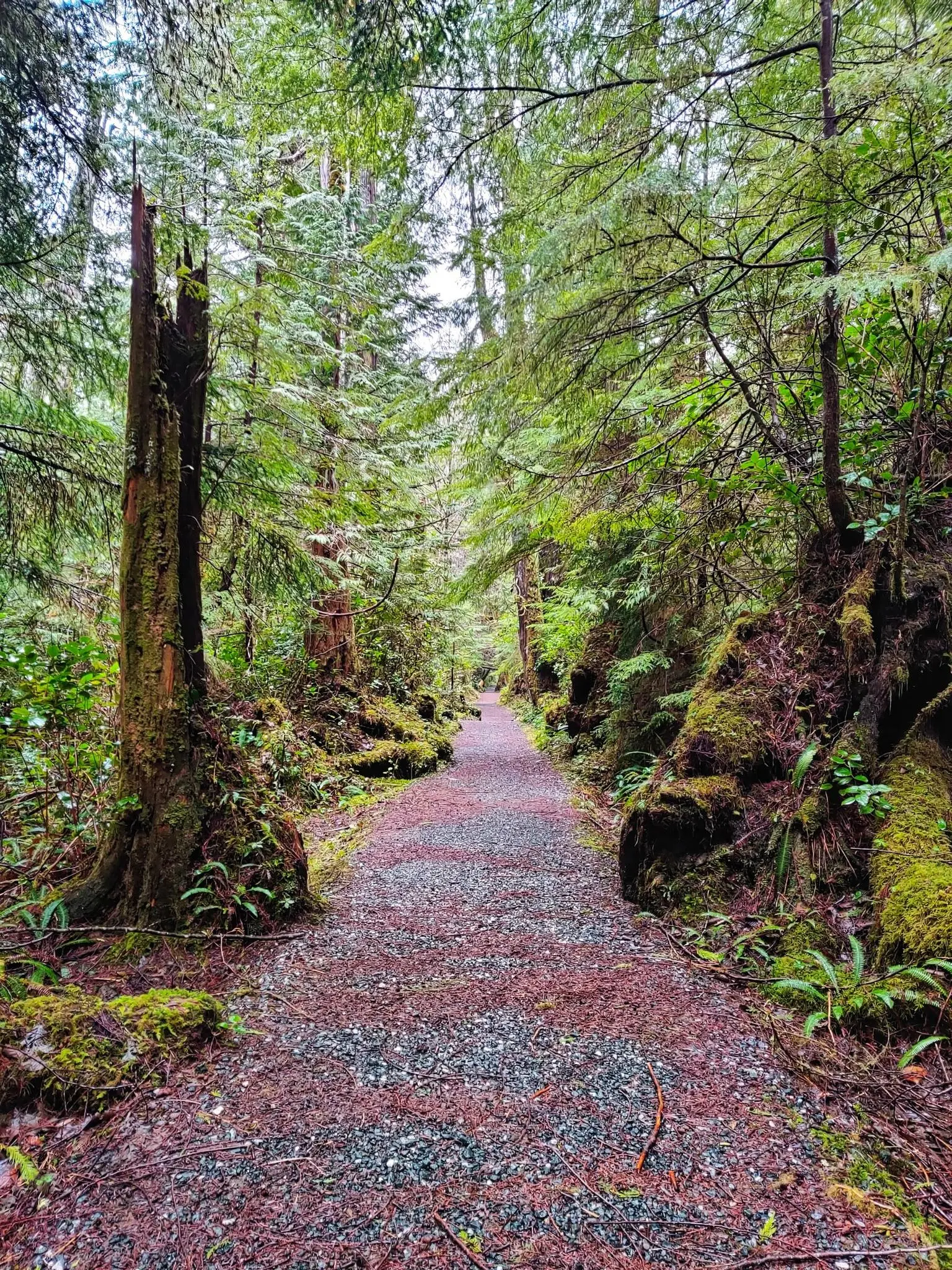
Hiking on Vancouver Island offers diverse landscapes, from rugged coastlines and ancient temperate rainforests to mountainous interiors and serene lakes. The island's terrain features significant elevation changes in its mountain ranges, while coastal areas provide flatter paths. Numerous rivers and waterfalls carve through the landscape, creating varied environments for exploration.
Best bus station hiking trails on Vancouver Island
- The most popular bus station hiking route is Wild Pacific Trail – View of the Pacific Ocean loop from Ucluelet, a 5.5 miles (8.9 km) moderate trail that takes 2 hours 20 minutes to complete. This route offers coastal views and lookout points along the Pacific.
- Another top favourite among local hikers is Cabin Point from East Sooke Road loop — East Sooke Regional Park, a moderate 7.4 miles (11.9 km) path. This trail traverses windswept coastlines and forest paths within a regional park.
- Local hikers also love the Beach Estates Park Trail, a 1.2 miles (1.9 km) trail leading through coastal parkland, often completed in about 33 minutes.
- Hiking on Vancouver Island is defined by rugged coastlines, dense temperate rainforests, and diverse mountain terrain. The network offers options for various ability levels, from easy park walks to more challenging coastal and forest trails.
- The routes in Vancouver Island are highly rated by the komoot community with an average score of 4.6 stars from over 1800 reviews. More than 15000 hikers have used komoot to explore Vancouver Island's varied terrain.
Last updated: August 26, 2026
4.7
(17)
177
hikers
7.47km
01:58
60m
60m
Moderate hike. Great for any fitness level. Mostly accessible paths. Sure-footedness required.
4.8
(162)
1,071
hikers
Moderate hike. Good fitness required. Easily-accessible paths. Suitable for all skill levels.

Sign up for free
5.0
(1)
4
hikers
11.9km
03:38
410m
410m
Moderate hike. Good fitness required. Easily-accessible paths. Suitable for all skill levels.
3
hikers
16.5km
04:17
110m
110m
Moderate hike. Good fitness required. Easily-accessible paths. Suitable for all skill levels.
2
hikers
12.5km
03:26
180m
190m
Moderate hike. Good fitness required. Easily-accessible paths. Suitable for all skill levels.
Get access to more routes and recommendations from other explorers.
Sign up for free
Already have an account?
Our route recommendations are based on thousands of hikes, rides, and runs completed by other people on komoot.
Start today with a free account
Your next adventure awaits.
Login or Signup


Other adventures on Vancouver Island


Tips from the Community

The bridge towers roughly 95 feet above the canyon floor, spanning the Trent River on aging timber beams with no side rails, and a small pedestrian platform built for anyone caught on the bridge when a train passed. Rail service was permanently discontinued, and the trestle has sat untouched ever since, slowly reclaimed by the surrounding forest, with trees along the riverbanks now towering over the structure in places.
0
0
The path is popular among local mountain bikers, hikers, and trail runners who enjoy a moderately challenging workout beneath dense forest canopy, with a well-placed bench along the way offering a nice spot to rest and take in views of the river below.
0
0
Located at the quiet dead-end of Hatton Road in the Courtenay-Royston area of Vancouver Island, this spot sits close to the edge of the Chinook Forest Woodlands, a well-known local trail network that includes routes like Moe's Misery.
0
0
The path leading down to the Morrell Lake viewpoint transitions into well-maintained dirt and gravel tracks that are mostly flat and comfortable for hikers of all skill levels. Because this area is much more secluded, it is a prime spot for photography, or birdwatching without the crowds.
0
0
The park features a mix of dense forest areas and open spaces, meaning your views change as you explore. In the spring, you will see bright new growth, while the fall brings crisp air and beautiful autumn colors.
0
0

The E&N Trail is a popular multi-use, 8-kilometer trail that runs through Nanaimo between Dunstar Road and Rosehill Avenue. It passes through or near a number of neighbourhoods and parks, making it a great option for recreational outings or as a car free commute path.
0
0
Caledonia Park has football field, public showers, and access to a variety of hiking and biking trails. You can also cross over the Millstone River to access the nearby Bowen Park and it's picturesque waterfalls.
0
0

Babbington Hill is a short but rewarding summit with a nice viewpoint set in a coastal forest. This hill rises above the Anderson Cove area, and the summit is a rocky opening with views of the Sooke Basin, Juan de Fuca Strait, and the forests of East Sooke.
1
0
Frequently Asked Questions
How many bus-accessible hiking trails are available on Vancouver Island?
There are over 100 bus-accessible hiking trails on Vancouver Island, offering a wide range of experiences from easy strolls to more challenging routes. You'll find a diverse selection to explore.
What kind of landscapes can I expect to see on bus-accessible hikes on Vancouver Island?
Vancouver Island's bus-accessible trails lead through incredibly diverse landscapes. You can expect to hike along rugged coastlines with stunning ocean views, through lush, ancient temperate rainforests, and past picturesque waterfalls and tranquil lakes. Many trails offer opportunities to experience the island's unique natural beauty, from towering old-growth trees to dramatic sea stacks.
Are there any easy, family-friendly bus-accessible hikes?
Yes, there are many easy and family-friendly options. For a gentle coastal walk, consider the Amphitrite Point Lighthouse – Inspiration Point loop from Ucluelet, which is an easy 6.6 km route. Another great choice is the Beach Estates Park Trail, a shorter 1.9 km easy hike. These trails are generally well-maintained and suitable for various ages and fitness levels.
Can I find trails that are suitable for dogs?
Many trails on Vancouver Island are dog-friendly, but it's always best to check specific park regulations before you go. Generally, regional parks and many provincial parks allow dogs on leash. Always ensure your dog is under control and that you clean up after them to preserve the natural environment for everyone.
Are there any bus-accessible trails that feature waterfalls or unique natural attractions?
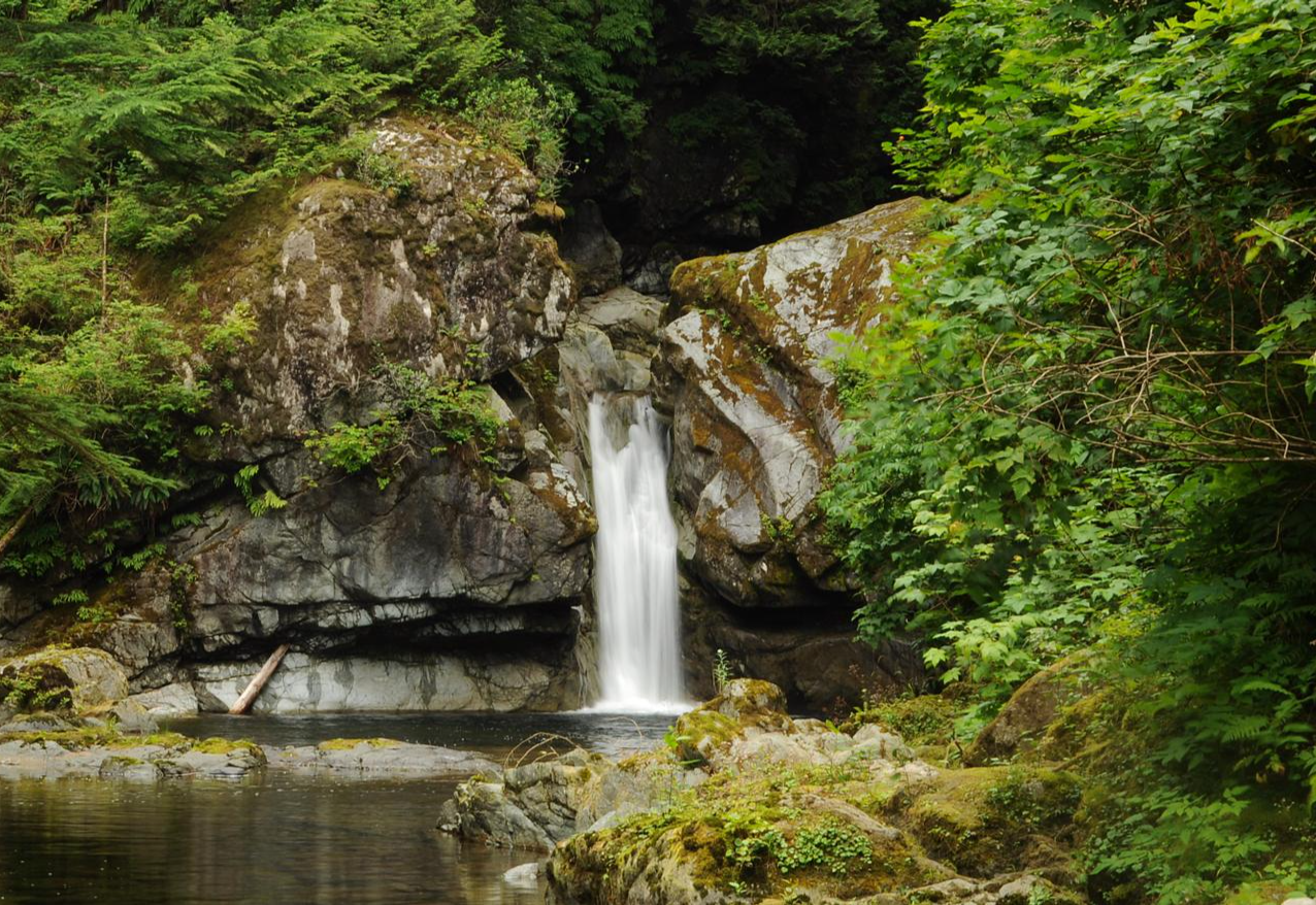
Absolutely! Vancouver Island is known for its stunning waterfalls and natural features. While specific bus routes vary, many trails lead to or are near attractions like Stamp Falls and Canyon, Hole-in-the-Wall, and Nymph Falls. You might also find trails near the famous Kinsol Trestle, a historic wooden railway bridge.
What is the best time of year to go hiking on Vancouver Island using public transport?
The best time for hiking on Vancouver Island is generally from late spring to early fall (May to October), when the weather is milder and trails are most accessible. However, coastal trails can be enjoyed year-round, with storm watching being a popular activity in the wetter months. Always check local weather conditions and bus schedules, as some routes may have reduced service in off-peak seasons.
Are there any longer or more challenging bus-accessible routes for experienced hikers?
Yes, for those seeking a more challenging experience, the Cabin Point from East Sooke Road loop — East Sooke Regional Park offers a moderate 11.8 km hike with significant elevation gain. The Wild Pacific Trail – View of the Pacific Ocean loop from Ucluelet is another moderate option at 8.9 km, providing stunning coastal views and a good workout.
What do other hikers say about the bus-accessible trails on Vancouver Island?
The bus-accessible trails on Vancouver Island are highly rated by the komoot community, with an average score of 4.6 out of 5 stars from over 1,800 ratings. Reviewers often praise the stunning natural beauty, the variety of landscapes, and the convenience of accessing these trails via public transport.
Are there any circular routes accessible by bus?
Yes, many bus-accessible trails on Vancouver Island are designed as loops, allowing you to start and end at the same point, which is convenient when relying on public transport. Examples include the Wild Pacific Trail loop from Ucluelet and the Cabin Point loop in East Sooke Regional Park.
Can I find historical sites or unique landmarks along these trails?
Yes, some bus-accessible trails lead to or pass by interesting historical sites and unique landmarks. For instance, the Canso Plane Wreck – Canso Bomber Ruins Trail loop takes you to a fascinating historical site. Additionally, the Kinsol Trestle is a magnificent historical structure that can be incorporated into a hike.
What should I bring for a bus-accessible hike on Vancouver Island?
When planning a bus-accessible hike, it's essential to bring appropriate gear for the weather, as conditions can change quickly. This includes layers of clothing, waterproof outerwear, sturdy hiking shoes, water, snacks, and a first-aid kit. Always carry a fully charged phone and consider bringing a portable charger. Don't forget to check bus schedules for your return journey!
Most popular routes on Vancouver Island
Most popular attractions on Vancouver Island

Get inspired with the komoot mobile app


Explore more
Browse the best Hikes in other regions.
