The best cycling routes around Soumagne
4.5
(174)
1,480
riders
37
rides
Touring cycling around Soumagne, located in the Belgian province of Liège, features a varied landscape of hills, expansive fields, and forests. The region's undulating terrain provides diverse cycling opportunities, with routes ranging from paved surfaces to more challenging unpaved segments. The proximity to the Herve Plateau contributes to picturesque pastoral scenery, characterized by gentle hills and rich agricultural land. This area offers a mix of challenging and leisurely routes, catering to different fitness levels.
Best touring cycling routes around Soumagne
…Last updated: October 8, 2026
4.5
(37)
330
riders
Hard bike ride. Very good fitness required. Mostly paved surfaces. Suitable for all skill levels.
4.2
(60)
224
riders
44.5km
02:48
510m
510m
Hard bike ride. Very good fitness required. Mostly paved surfaces. Suitable for all skill levels.

4.6
(7)
198
riders
61.2km
04:44
790m
790m
Hard bike ride. Very good fitness required. You may need to push your bike for some segments of this route.
4.7
(7)
157
riders
43.9km
03:17
500m
500m
Hard bike ride. Very good fitness required. You may need to push your bike for some segments of this route.
4.8
(20)
113
riders
Easy bike ride. Great for any fitness level. Mostly paved surfaces. Suitable for all skill levels.
Get access to more routes and recommendations from other explorers.
Already have an account?
Our route recommendations are based on thousands of hikes, rides, and runs completed by other people on komoot.
Start today with a free account
Your next adventure awaits.
Tips from the Community

The Blegny Mine (Rue Lambert Marlet 23, Blegny) is one of Belgium's most important industrial monuments and was included in July 2012 as part of the four great Walloon mining sites on the UNESCO World Heritage List.
3
0

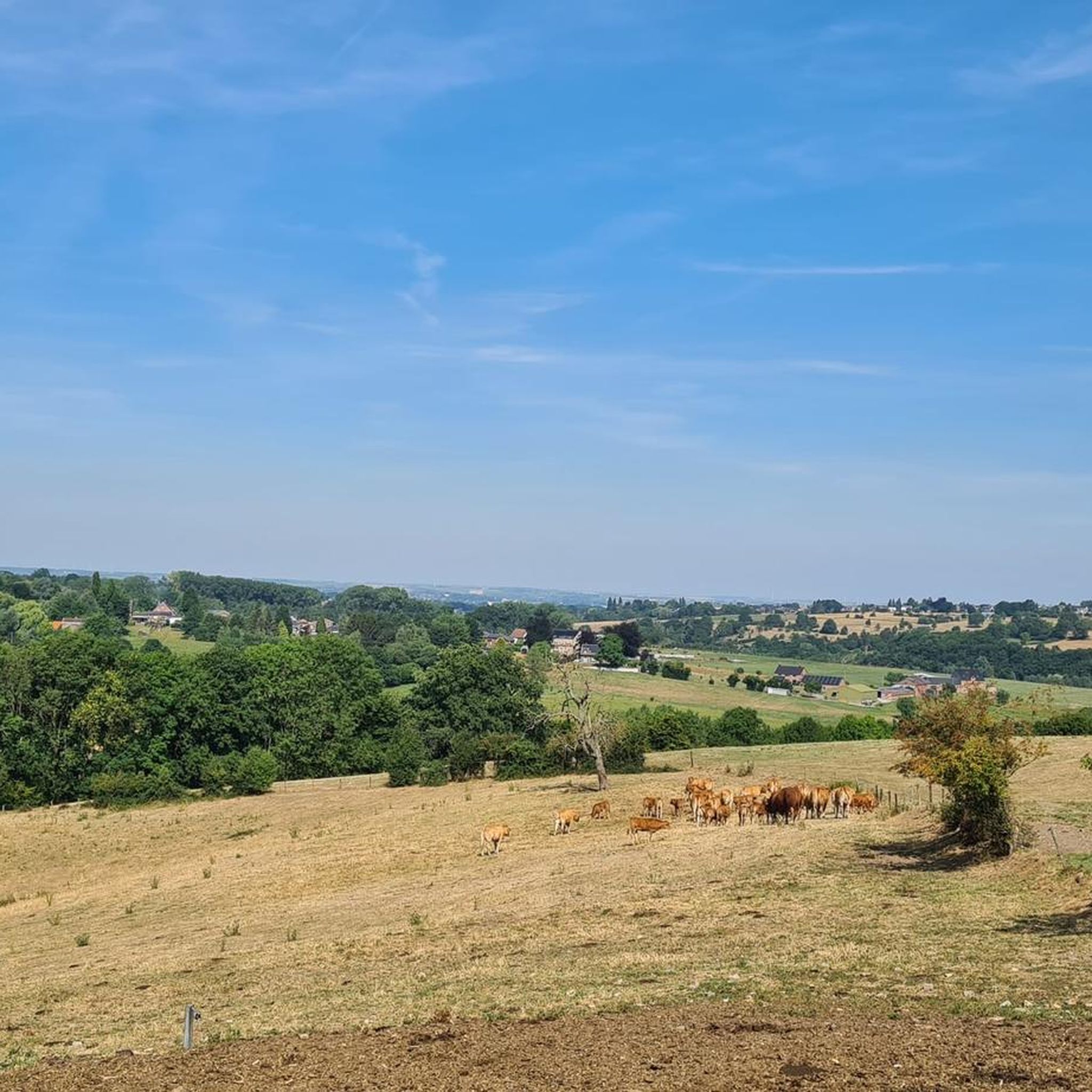
A great view from the railway line into the valley
1
0

Main attractions in Blegny * The Mine Shafts are (-30m and -60m) deep: Visitors can descend into the underground mine galleries with an authentic cage lift to experience the working conditions of the 'koempels' (miners). This can be done via the official Blegny-Mine website. * The Mine Museum: An extensive exhibition that takes you through eight centuries of Walloon coal mining history. * Biotope of the Terril: A walk with an audio guide on the slag heap, where you learn how nature has reclaimed the old mining waste mountain. * Tourist train: A relaxing ride through the rural landscape of the Pays de Herve. Practical information for visitors * Location: Located in the Pays de Herve region, approximately 15 kilometers northeast of Liège. * Underground temperature: In the mine galleries, the temperature is constantly around 15 degrees Celsius; a jacket and sturdy shoes are recommended. A safety helmet is mandatory and is provided on site. * Accessibility: The underground tour includes two staircases (130 and 160 steps), but can also be adapted for wheelchair users upon prior request.
0
0

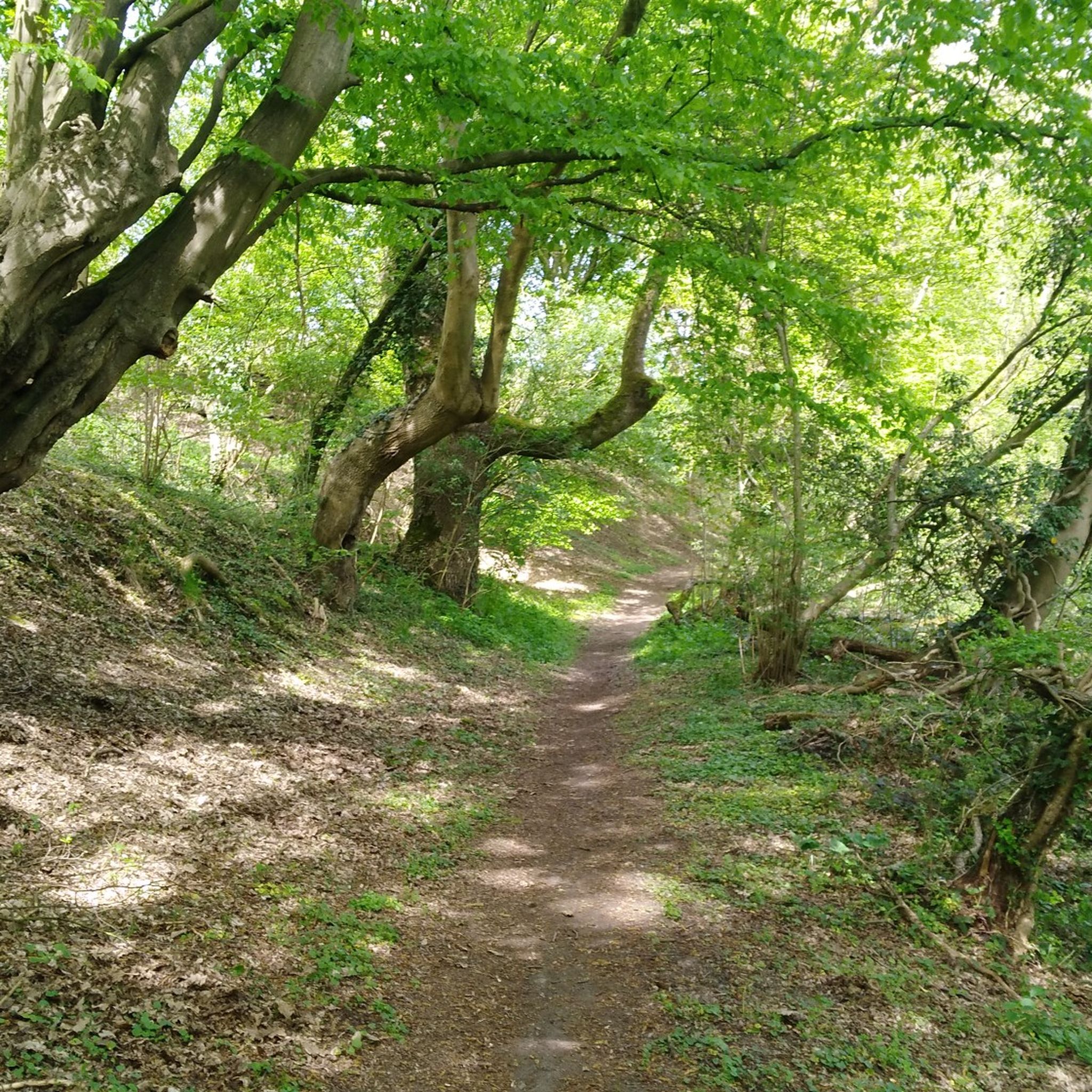
Beautiful hiking trail through the valley of the Bacsay, a tributary of the Bolland
0
0
One of the 12 forts of the defense belt around Liège. Played a role in both WWI and WWII. Guided tours by appointment. Nowadays used as an adventure course.
0
0
One of the 12 forts that formed a defensive belt around Liège. Played a role in both world wars. Can be visited by appointment. Now also used as a sporty adventure area.
0
0
Wooden wayside cross with corpus on a stone base.
4
0
Frequently Asked Questions
What kind of terrain can I expect when touring cycling around Soumagne?
Soumagne offers a varied landscape characterized by hilly terrain, expansive fields, and forests. You'll find a mix of paved surfaces suitable for all skill levels, as well as more challenging unpaved segments. The proximity to the Herve Plateau also means picturesque pastoral scenery with gentle hills.
Are there touring cycling routes suitable for beginners or those looking for an easy ride?
Yes, Soumagne has routes suitable for beginners. For an easy ride with minimal elevation and scenic views, consider the Viewpoint – Former Retinne railway station loop from Soumagne. This 12.5-mile (20.1 km) path is a top favorite among local touring cyclists.
What are some notable landmarks or natural features I can see along the touring cycling routes in Soumagne?
Cyclists can explore a variety of attractions. You might encounter historical sites like the Fiérain Waterfall and Old Mill Site, or natural beauty such as the Lovegnébeek Valley. The region also features the Julienne Ponds and the Gravière Brock Nature Reserve.
Are there any circular touring cycling routes in the Soumagne area?
Yes, many routes around Soumagne are designed as loops. An example is the Bacsay Housse Stone Bridge – Forest Descent Trail loop from Ayeneux, which is a 26.7-mile (43.0 km) route featuring significant elevation gain through forested areas. Another option is the Wayside Cross on Rue Biomont – Tribomont Castle loop from Soumagne, a moderate 18.1-mile (29.1 km) ride.
What do other touring cyclists say about the routes in Soumagne?
The touring cycling routes in Soumagne are highly rated by the komoot community, with an average score of 4.7 stars from over 30 reviews. Cyclists often praise the varied terrain, from gentle hills to challenging forest descents, and the picturesque pastoral scenery.
Can I find places to eat or rest along the touring cycling routes?
Yes, the region offers opportunities for breaks. The historic Val-Dieu Abbey, for instance, provides a tranquil stop where visitors can enjoy local products at its on-site brewery. Many routes also pass through charming villages where you can find cafes or pubs.
What is the best time of year to go touring cycling in Soumagne?
Soumagne's varied landscapes are enjoyable throughout much of the year. Spring and autumn offer pleasant temperatures and beautiful scenery, while summer provides longer daylight hours. The region's mix of paved and unpaved routes means there are options even during cooler or wetter periods, though some unpaved segments might be more challenging in adverse weather.
Are there any family-friendly touring cycling routes in Soumagne?
While specific 'family-friendly' designations are not always explicit, routes with minimal elevation and paved surfaces are generally suitable for families. The Viewpoint – Former Retinne railway station loop from Soumagne, an easy 12.5-mile (20.1 km) path, could be a good option for families due to its gentle profile and scenic views.
Are there any historical sites to visit while cycling in Soumagne?
Absolutely. Cyclists can visit the Val-Dieu Abbey, the only Belgian abbey to have survived the French Revolution, or the Observation Bunker MN18 and Knuppelstock Orientation Table, which offers panoramic views and a glimpse into WWII history. The imposing ruins of Franchimont Castle, an 11th-century medieval fortress, are also a notable historical stop.
How long are the touring cycling routes typically in Soumagne?
The touring cycling routes around Soumagne vary significantly in length. You can find shorter, easy paths like the Viewpoint – Former Retinne railway station loop from Soumagne at 12.5 miles (20.1 km), up to longer, more challenging rides such as the Fort Barchon – Julienne Valley Ponds loop from Fléron, which is 38.3 miles (61.6 km).
Is there a network of cycling paths or nodes in Soumagne?
Yes, Soumagne benefits from a network of cycling nodes, particularly in areas like Melen, which helps in planning diverse routes. This network allows cyclists to customize their rides and explore various parts of the region efficiently.
Can I find viewpoints with panoramic scenery along the routes?
Yes, the hilly landscape around Soumagne offers several viewpoints. The Knuppelstock Orientation Table, near the Observation Bunker MN18, provides magnificent vistas of the surrounding hilly landscape, including the border area between the Netherlands and Belgium. Many routes also offer scenic views of expansive fields and forests.
Most popular attractions around Soumagne

Get inspired with the komoot mobile app


Explore more
Browse the best Cycling routes in other regions.
