The best cycling routes around Vernio
4.5
(227)
3,011
riders
16
rides
Touring cycling routes around Vernio are characterized by mountainous terrain and diverse natural features within the Province of Prato, Tuscany. The region offers challenging climbs and panoramic vistas of the Bisenzio Valley, with peaks such as Monte Maggiore reaching 917m. Routes often wind through lush forests, along the Bisenzio River, and past natural attractions like the Cascate dell'Acqua Cheta. This landscape provides a varied backdrop for touring cyclists, ranging from paved paths to more demanding unpaved segments.
Best touring cycling…
Last updated: October 16, 2026
4.5
(8)
230
riders
63.0km
04:20
1,150m
1,150m
Hard bike ride. Very good fitness required. Mostly paved surfaces. Suitable for all skill levels.
5.0
(3)
33
riders
51.8km
03:36
970m
970m
Hard bike ride. Very good fitness required. Mostly paved surfaces. Suitable for all skill levels.

5.0
(1)
22
riders
36.3km
02:24
500m
500m
Hard bike ride. Very good fitness required. Mostly paved surfaces. Suitable for all skill levels.
4.0
(2)
20
riders
53.6km
03:36
880m
880m
Hard bike ride. Very good fitness required. Mostly paved surfaces. Suitable for all skill levels.
5.0
(1)
19
riders
76.8km
05:26
1,530m
1,530m
Hard bike ride. Very good fitness required. Mostly paved surfaces. Suitable for all skill levels.
Get access to more routes and recommendations from other explorers.
Already have an account?
Our route recommendations are based on thousands of hikes, rides, and runs completed by other people on komoot.
Start today with a free account
Your next adventure awaits.
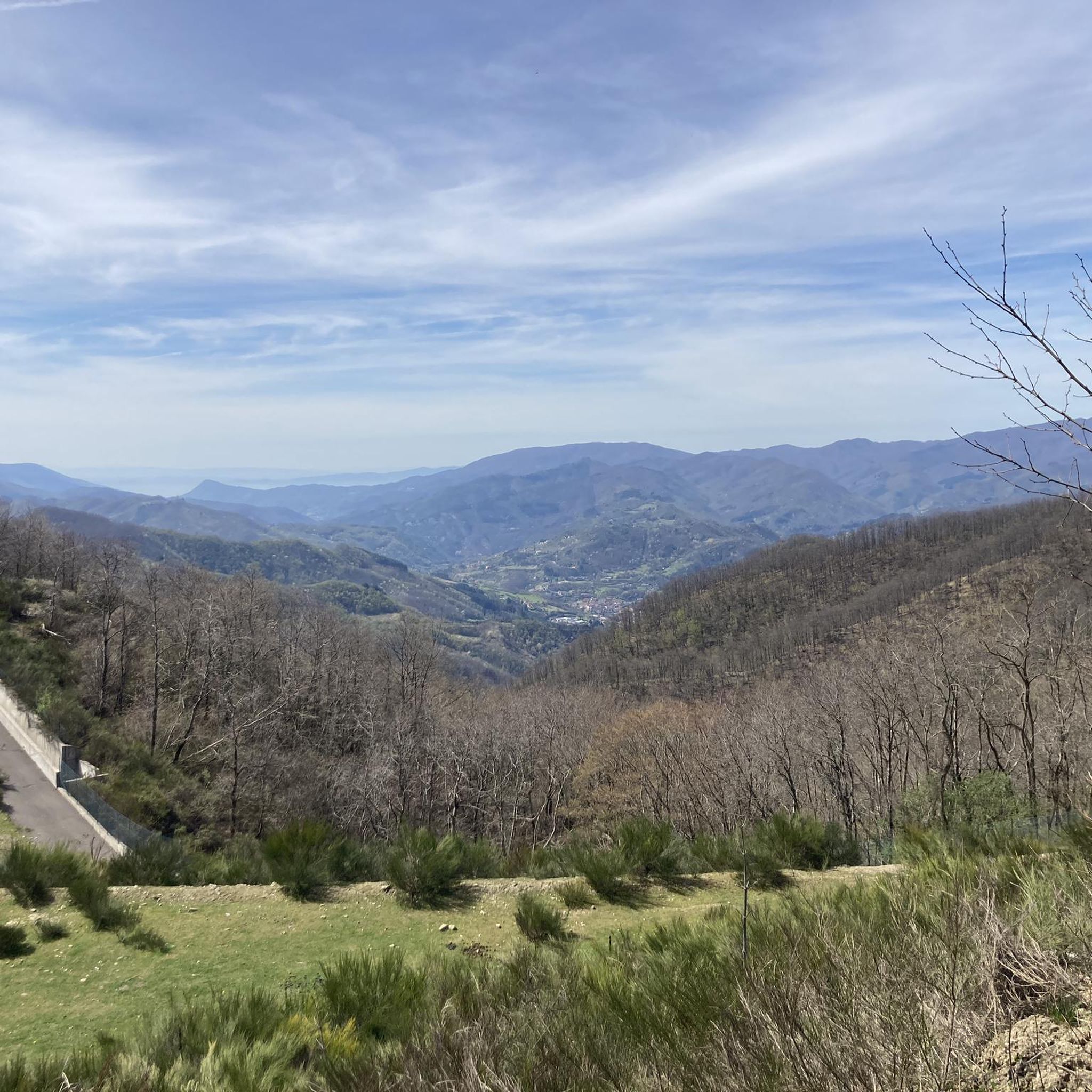
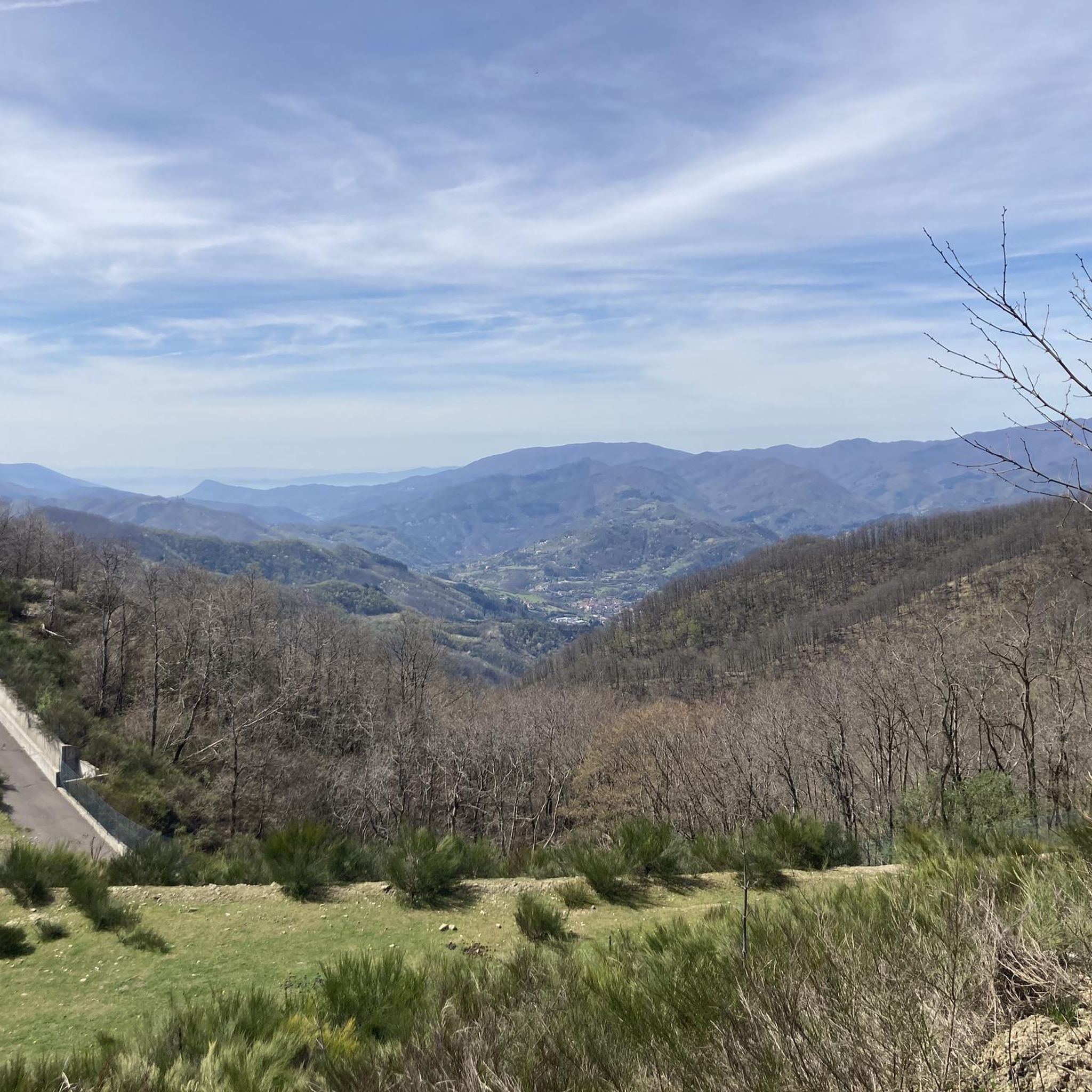
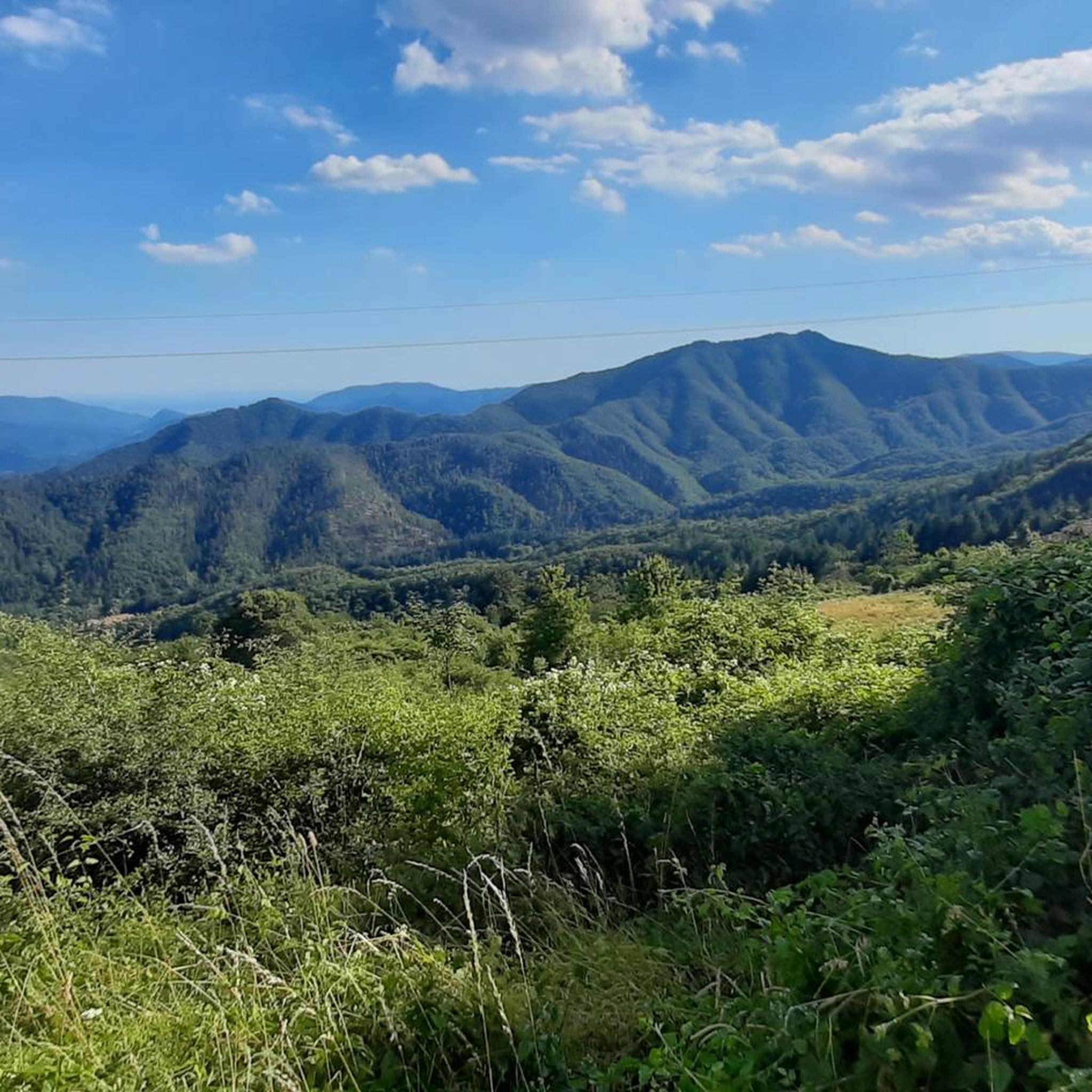
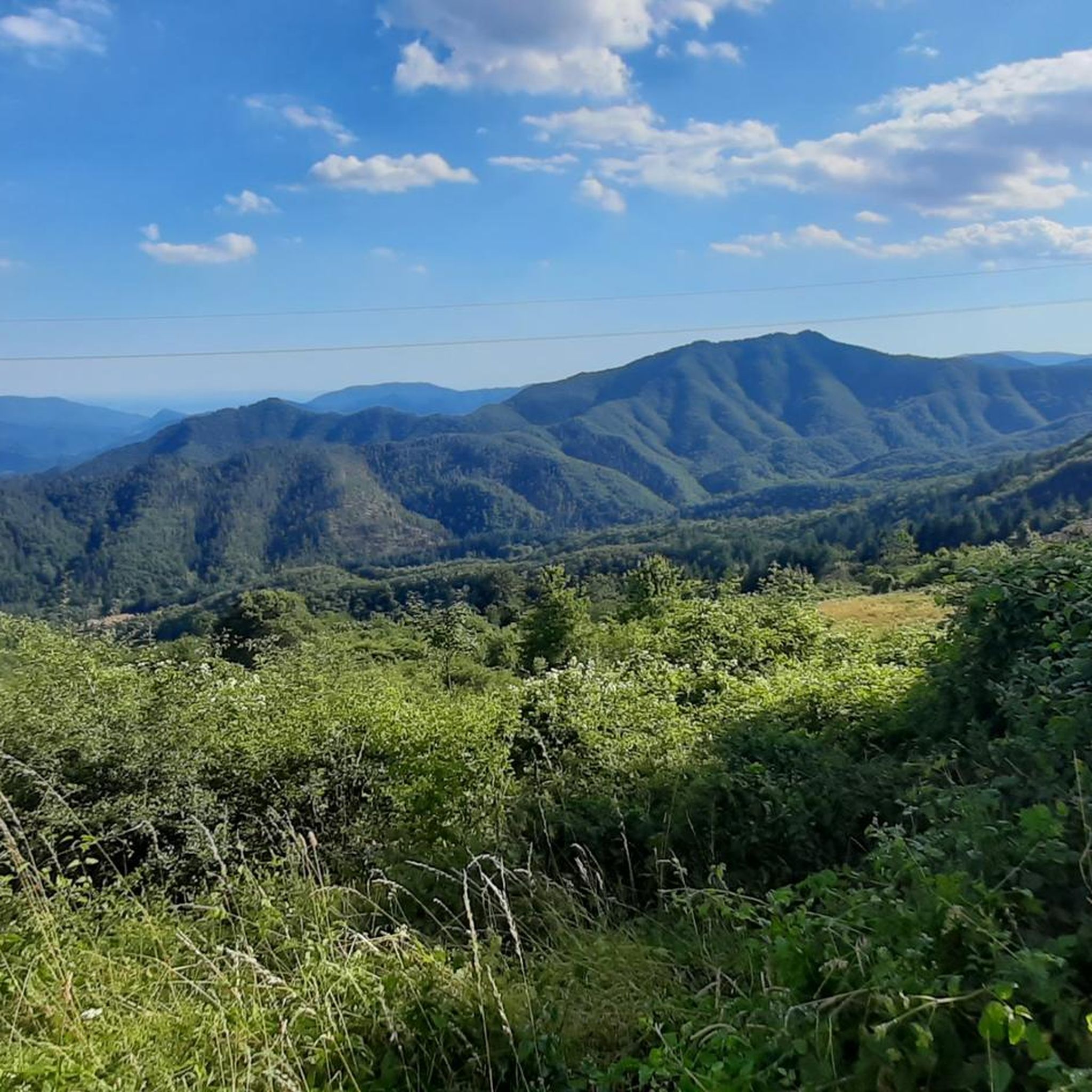
Tips from the Community

The Lago del Brasimone (also known as the Scalere basin) is a splendid artificial lake located in the Bolognese Apennines, within the municipal territory of Camugnano. It is situated at about 800 meters above sea level and is entirely included in the Regional Park of the Suviana and Brasimone Lakes.
0
0
The Lake Suviana is the largest artificial basin in the metropolitan city of Bologna and one of the largest in Emilia-Romagna. Located in the Bolognese Apennines at about 400 meters above sea level, it was formed in the early 1930s following the construction of a 90-meter-high dam for hydroelectric power generation. Today it is one of the most popular tourist destinations in the region for relaxation, swimming, and outdoor activities.
1
0

Lake Brasimone (also known as the Scalere basin and the Brasimone basin) is an artificial lake located in the Bolognese Apennines along the Brasimone stream, in the municipality of Camugnano and is part of the Suviana and Brasimone lakes regional park.
1
0

Along the beautiful and cool road that leads from Montepiano to the Badia, on the left, in the middle of an avenue of beech trees, there is a beautiful park and from here you can access the Mulino del Sole, the last home of the great Venetian painter Saetti
2
0


Fraction of the Municipality of Camugnano. The bridge is located on the Limentra Orientale river, a tributary of the Reno.
3
0
Frequently Asked Questions
How many touring cycling routes are available around Vernio?
There are over 15 touring cycling routes documented around Vernio on komoot, explored by more than 200 cyclists. These routes are highly rated, with an average score of 4.6 stars.
Are there any easy touring cycling routes for beginners in Vernio?
While many routes in Vernio feature challenging climbs, there are 4 moderate touring cycling routes available. These offer a good balance for those looking for less strenuous rides, often following the Bisenzio River. The Lake Brasimone – View of Lake Brasimone loop from Vernio-Montepiano-Cantagallo, for example, offers extensive views without extreme difficulty.
What kind of terrain can I expect on touring cycling routes in Vernio?
Vernio is characterized by its predominantly mountainous terrain, offering challenging climbs and rewarding panoramic vistas of the Bisenzio Valley. Routes often wind through lush forests and along the Bisenzio River. You'll find a mix of mostly paved surfaces suitable for touring bikes, though some routes may include unpaved segments.
Are there any circular touring cycling routes around Vernio?
Yes, many touring cycling routes in Vernio are designed as loops. For instance, the Parish Church of San Lorenzo in Usella – Green Lake loop from Vernio is a popular difficult route that leads through forests and meadows, incorporating historical sites. Another option is the Lake Brasimone – Lake Brasimone loop from Montepiano, offering challenging climbs and views of the Bisenzio Valley.
What natural attractions can I see along the touring cycling routes in Vernio?
Cyclists can find routes that lead to natural attractions like the spectacular Cascate dell'Acqua Cheta (Water Cheta Waterfalls), providing a beautiful natural backdrop. You can also encounter lush forests, green meadows, and the Bisenzio River. The Lake Brasimone is another prominent natural feature often included in routes.
What historical or cultural landmarks can I explore while cycling in Vernio?
Cycling routes often incorporate stops at various historical and cultural sites. You might pass through San Quirico, the communal capital, or Sant'Ippolito with its Romanesque Parish Church. The Remains of the Military Flaminia, an ancient Roman road, also offers a unique historical element to some rides. The Rocca di Vernio, an ancient home of noble families, is another notable landmark.
What is the best season to go touring cycling in Vernio?
Vernio offers a pleasant cycling experience for much of the year. The spring and autumn months generally provide the most comfortable temperatures for touring cycling, with lush landscapes in spring and vibrant colors in autumn. Summer can be warm, especially on climbs, but the higher elevations offer cooler air. Winter cycling is possible but may be limited by colder temperatures and potential snow at higher altitudes.
Are there any challenging touring cycling routes for experienced riders?
Yes, Vernio is well-suited for experienced touring cyclists seeking a challenge. Many routes feature significant elevation gains and cover longer distances. For example, the Piano del Voglio – Futa Pass loop from Rasora is a difficult route with over 1100 meters of elevation gain. Another demanding option is the Lake Brasimone – Lake Brasimone loop from Bagucci, which covers over 73 km and nearly 1500 meters of ascent.
Are there family-friendly touring cycling options in Vernio?
While many routes involve mountainous terrain, some sections along the Bisenzio River are flatter and more suitable for families. Look for moderate routes or sections of longer routes that stick to cycleways or quieter roads. The Bisenzio River Cycle Path, extending from Prato to Vernio, offers a mix of surfaces and passes through Vaiano, making it a good option for a more relaxed family outing.
What amenities are available near the cycling routes, such as cafes or viewpoints?
Many routes pass through or near Vernio's hamlets like San Quirico, Montepiano, and Vaiano, where you can find cafes and other amenities. Montepiano, a popular summer resort, offers places to stop. Additionally, the mountainous terrain provides numerous natural viewpoints, such as those from Monte Maggiore Summit (917 m), offering panoramic vistas of the Bisenzio Valley and the surrounding Tuscan countryside.
Is public transport available to access cycling routes in Vernio?
Vernio is located approximately 30 kilometers northwest of Florence and 20 kilometers north of Prato. Public transport options, such as regional trains and buses, connect Vernio to these larger cities, which can help in accessing the region. It's advisable to check local transport schedules and policies regarding bicycle carriage before planning your trip.
Where can I park my car when starting a touring cycling route in Vernio?
Parking is generally available in the main towns and hamlets of Vernio, such as San Quirico or Montepiano. When planning your route, it's recommended to identify suitable parking areas near your chosen starting point, especially for longer tours. Many routes begin and end in these villages, making them convenient for parking.
Most popular attractions around Vernio

Get inspired with the komoot mobile app


Explore more
Browse the best Cycling routes in other regions.
