The best road cycling routes around Vernio
4.4
(170)
3,484
riders
15
rides
Road cycling routes around Vernio are characterized by the hilly and mountainous terrain of the Tuscan-Emilian Apennines. The region features significant elevation changes, offering challenging climbs and descents on mostly paved surfaces. Cyclists can expect varied topography, from wooded sections to open grasslands, with routes traversing wild hills and mountains. This area provides diverse road cycling experiences suitable for different fitness levels.
Best road cycling routes around Vernio
- The most popular road cycling route is Sasseta Village – Montepiano loop…
Last updated: July 8, 2026
5.0
(11)
96
riders
38.5km
01:59
590m
590m
Moderate road ride. Good fitness required. Mostly well-paved surfaces and easy to ride.
4.3
(6)
31
riders
65.2km
03:33
1,350m
1,350m
Hard road ride. Very good fitness required. Mostly well-paved surfaces and easy to ride.

Sign up for free
21
riders
43.8km
02:39
1,120m
1,120m
Hard road ride. Very good fitness required. Mostly well-paved surfaces and easy to ride.
5.0
(1)
22
riders
Moderate road ride. Good fitness required. Mostly well-paved surfaces and easy to ride.
17
riders
Hard road ride. Very good fitness required. Mostly well-paved surfaces and easy to ride.
Get access to more routes and recommendations from other explorers.
Sign up for free
Already have an account?
Our route recommendations are based on thousands of hikes, rides, and runs completed by other people on komoot.
Start today with a free account
Your next adventure awaits.
Login or Signup
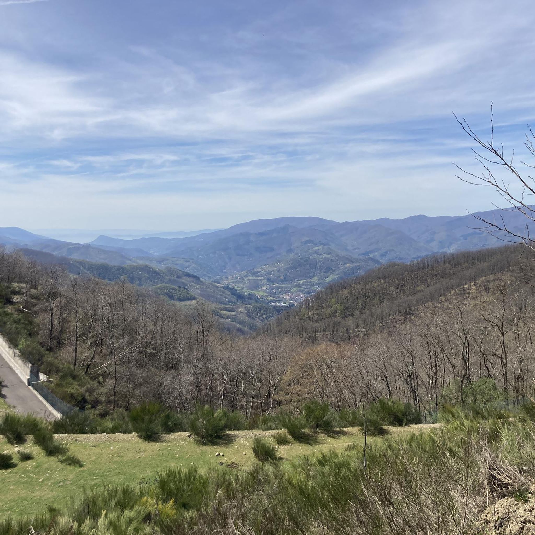
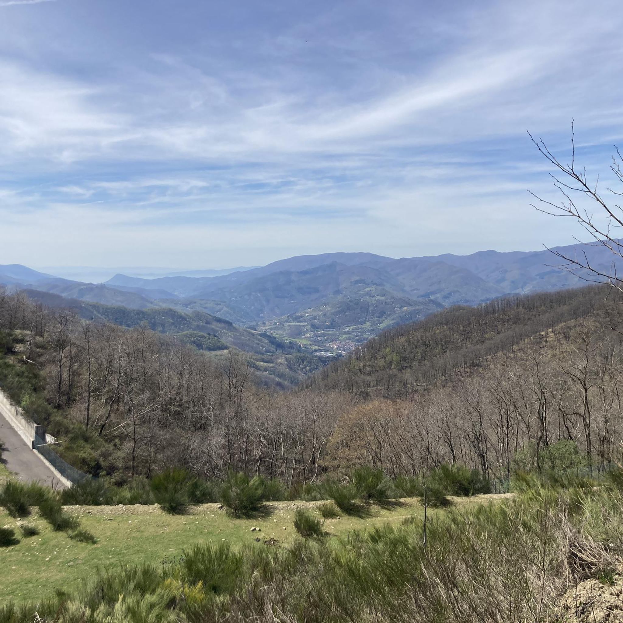
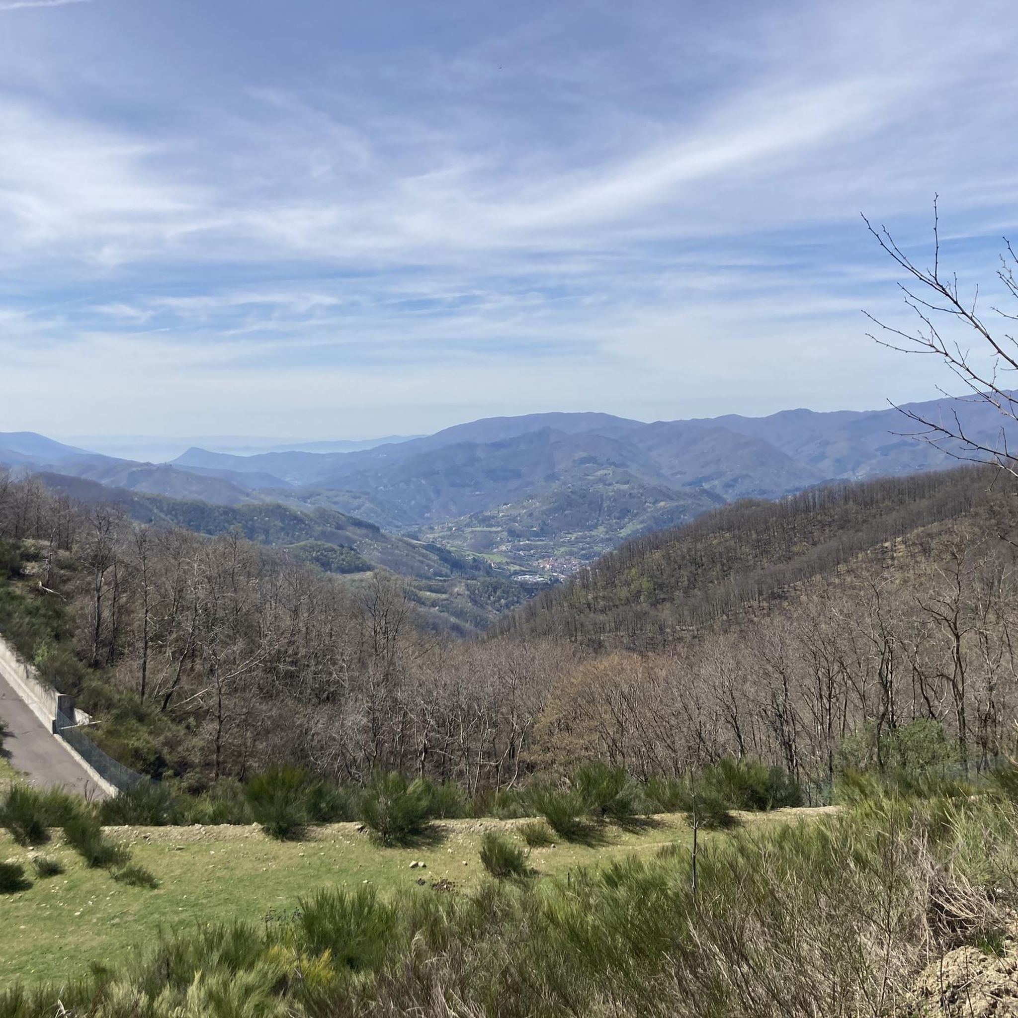
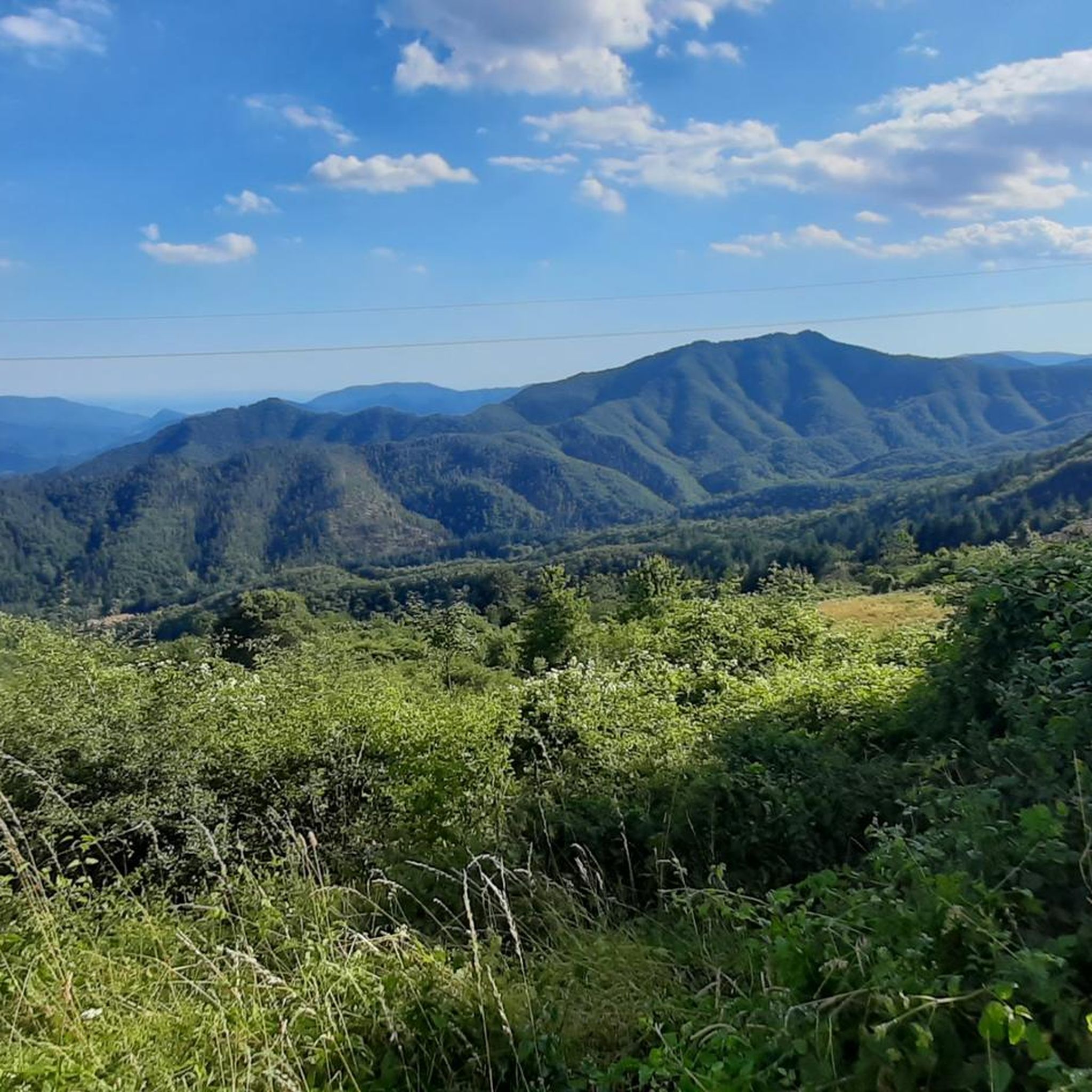
Tips from the Community

The Lago del Brasimone (also known as the Scalere basin) is a splendid artificial lake located in the Bolognese Apennines, within the municipal territory of Camugnano. It is situated at about 800 meters above sea level and is entirely included in the Regional Park of the Suviana and Brasimone Lakes.
0
0
The Pinone di Carmignano is a famous hilly pass located at about 425 meters above sea level on the ridge of Montalbano, in the province of Prato. It is a fundamental naturalistic, historical, and sporting hub of central Tuscany, famous for its woods, cycling paths, and archaeological sites.
0
0
La Salita di Via della Soda is a very challenging cycling and running climb located in the Val di Bisenzio, known for connecting the area of Vernio (locations Celle/Le Soda) with the ridge towards Barberino di Mugello. Although not directly in the municipality of Vaiano, it is often included by enthusiasts in road bike loop itineraries that start from or pass through Vaiano.
0
0

Passo Pinone from Poggio a Caiano via Via Carmignanese is a climb in the Prato region. The climb is 10.1 km long and covers 395 m of elevation gain with an average gradient of 3.9%, resulting in a difficulty score of 207. The summit of the climb is at 425 m above sea level. Want to know more? Click through to the source: https://climbfinder.com/nl/beklimmingen/passo-pinone-poggio-a-caiano
2
0
Passo Pinone from Poggio a Caiano via Via Carmignanese is a climb in the Prato region. The climb is 10.1 km long and gains 395 m in elevation with an average gradient of 3.9%, resulting in a difficulty score of 207. The top of the climb is at 425 m above sea level. Source: https://climbfinder.com/nl/beklimmingen/passo-pinone-poggio-a-caiano
3
0

You can get there via the SR 325 which is entirely on asphalt, but you have to be careful of the traffic.
0
0

Lake Brasimone (also known as the Scalere basin and the Brasimone basin) is an artificial lake located in the Bolognese Apennines along the Brasimone stream, in the municipality of Camugnano and is part of the Suviana and Brasimone lakes regional park.
1
0

The pass connects Montepiano, municipality of Vernio (PO) with Mangona, municipality of Barberino di Mugello (FI)
4
0
Frequently Asked Questions
How many road cycling routes are available around Vernio?
Vernio offers a selection of 12 road cycling routes, catering to various skill levels. Among these, 4 are considered moderate, and 8 are classified as difficult, providing ample choice for cyclists seeking different challenges.
What kind of terrain can I expect on road cycling routes in Vernio?
Road cycling routes around Vernio are characterized by the hilly and mountainous terrain of the Tuscan-Emilian Apennines. You can expect significant elevation changes, offering both challenging climbs and descents on mostly paved surfaces. The area features varied topography, from wooded sections to open grasslands, traversing wild hills and mountains.
What is the best time of year for road cycling in Vernio?
The region's climate generally makes spring and autumn ideal for road cycling in Vernio. During these seasons, temperatures are milder, and the natural scenery is particularly vibrant, offering comfortable conditions for tackling the hilly terrain.
Are there any challenging road cycling routes in Vernio?
Yes, Vernio is known for its challenging road cycling routes, with 8 out of 12 routes classified as difficult. For instance, the Sasseta Village – Montepiano loop from Vernio-Montepiano-Cantagallo is a difficult 27.2-mile (43.8 km) trail with over 3,600 feet (1,100 meters) of elevation gain, taking approximately 2 hours 38 minutes to complete.
Are there any moderate road cycling routes in Vernio?
Yes, Vernio also offers moderate road cycling options. The Montepiano – Monte Tavianella loop from Montepiano is a moderate 17.9-mile (28.8 km) route with about 2,281 feet (695 meters) of elevation gain, typically completed in around 1 hour 47 minutes.
What natural features or landmarks can I see along road cycling routes in Vernio?
Road cycling routes in Vernio offer diverse natural beauty. You can enjoy views of significant natural features like Lake Brasimone, especially on routes such as the Montepiano – Lake Brasimone loop from Vernio-Montepiano-Cantagallo. The area also features wooded sections and open grasslands, particularly towards the ridges of peaks like Monte Maggiore.
Are there any historical sites accessible by road bike in Vernio?
Yes, Vernio's routes can lead you through areas rich in history. You might encounter remnants of the ancient Roman road, Military Flaminia, or the Emilia-Romagna–Tuscany Border Marker. A notable cycling itinerary, 'The Wool and Silk Route' between San Quirico di Vernio and Montepiano, also offers a journey through ancient villages and medieval fortresses.
What do other road cyclists enjoy about cycling in Vernio?
The road cycling routes in Vernio are highly rated by the komoot community, with an average score of 4.4 stars from over 30 reviews. Cyclists often praise the varied terrain, the challenging climbs, and the breathtaking panoramic views, particularly from spots like the Calvana ridge.
Are there any loop road cycling routes in Vernio?
Yes, many of Vernio's road cycling routes are designed as loops, offering a convenient way to explore the region. Examples include the Sasseta Village – Montepiano loop from Vernio-Montepiano-Cantagallo and the Pinone Pass – Carmignano Town Center loop from Vernio-Montepiano-Cantagallo.
Is it possible to find accommodation or places to eat along the routes?
While specific cafes and pubs are not detailed for every route, the region around Vernio, being part of Tuscany, offers various options for accommodation and dining. Cyclists can find places to refuel and rest in towns and villages along or near the routes. Some routes may pass by refuges or farmhouses like Spedaletto Farmhouse or Acquerino Refuge.
Are there options for long-distance road cycling routes in Vernio?
Yes, Vernio offers several long-distance road cycling routes for those seeking extended rides. The Montepiano – Lake Brasimone loop from Vernio-Montepiano-Cantagallo is a substantial 78.3-mile (126.0 km) trail, often completed in about 6 hours 52 minutes, providing a comprehensive tour of the Apennine landscape.
Can I find family-friendly road cycling routes in Vernio?
Due to the predominantly hilly and mountainous terrain with significant elevation changes, most road cycling routes in Vernio are classified as moderate to difficult. While some sections might be suitable for families with older, experienced cyclists, routes specifically designed as 'family-friendly' for all ages may be limited. It's advisable to check individual route profiles for elevation and distance to determine suitability.
Most popular attractions around Vernio

Get inspired with the komoot mobile app


Explore more
Browse the best Road cycling routes in other regions.
