The best MTB trails around Gleisdorf
4.4
(92)
511
riders
64
rides
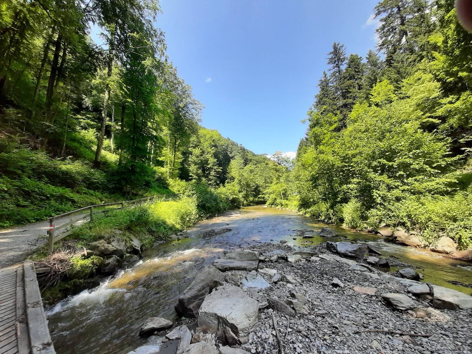
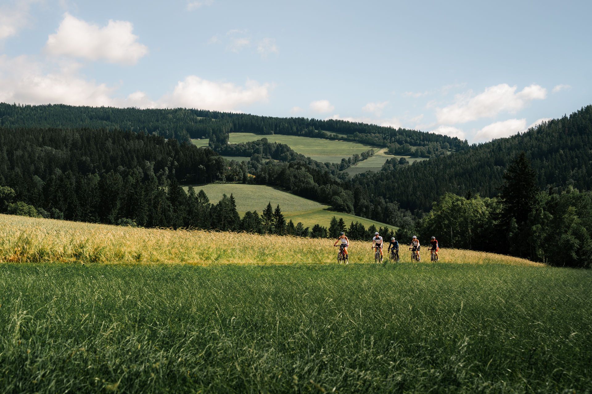
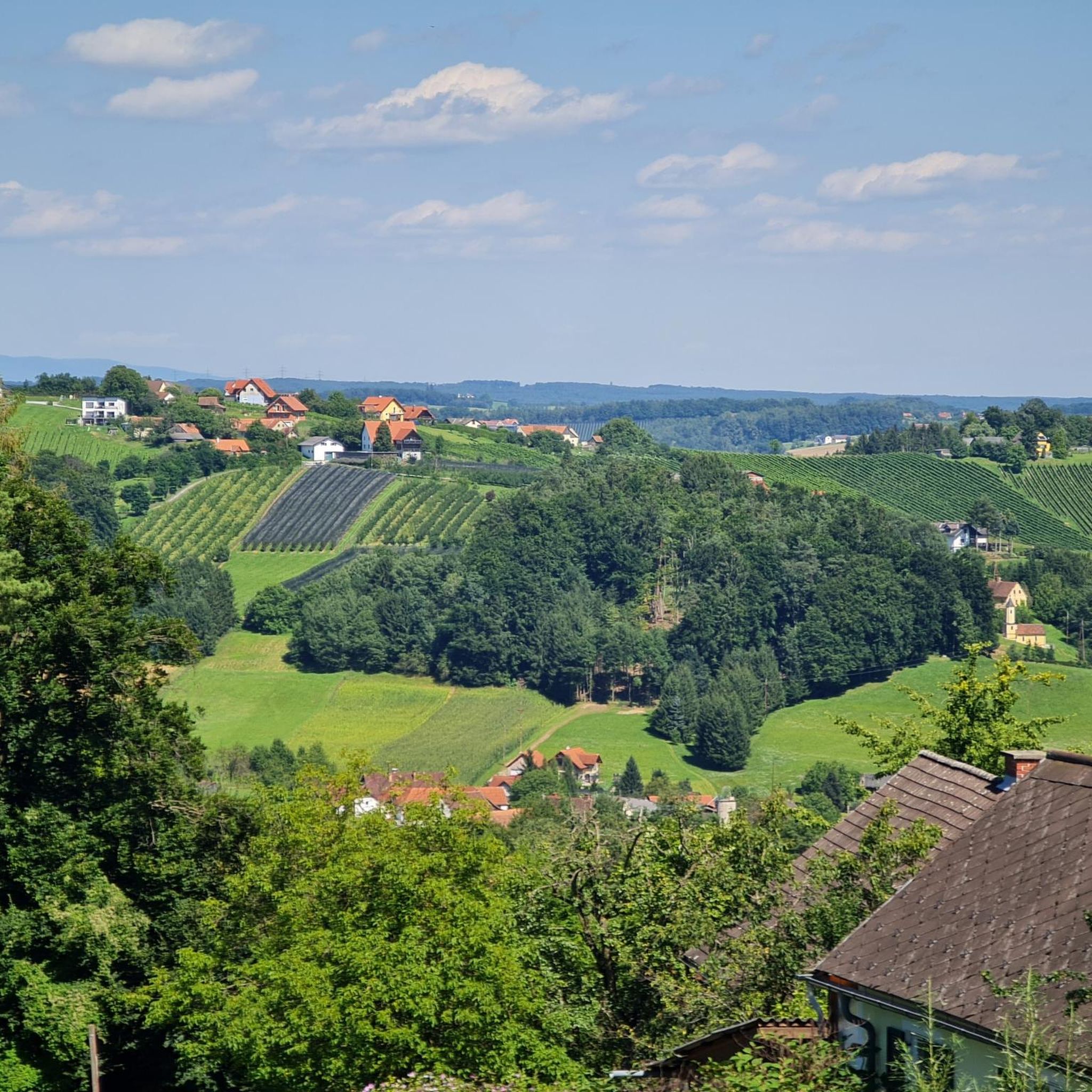
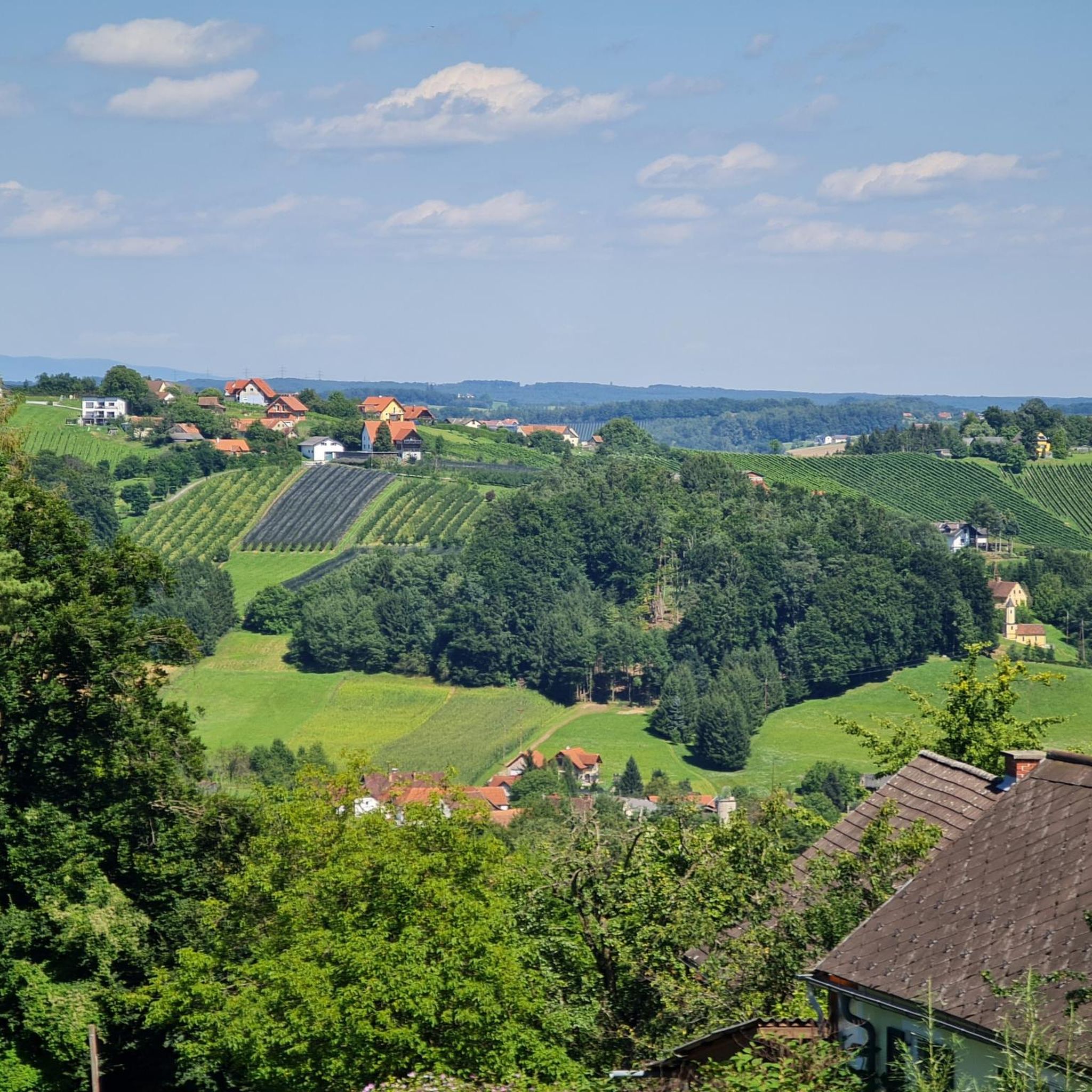
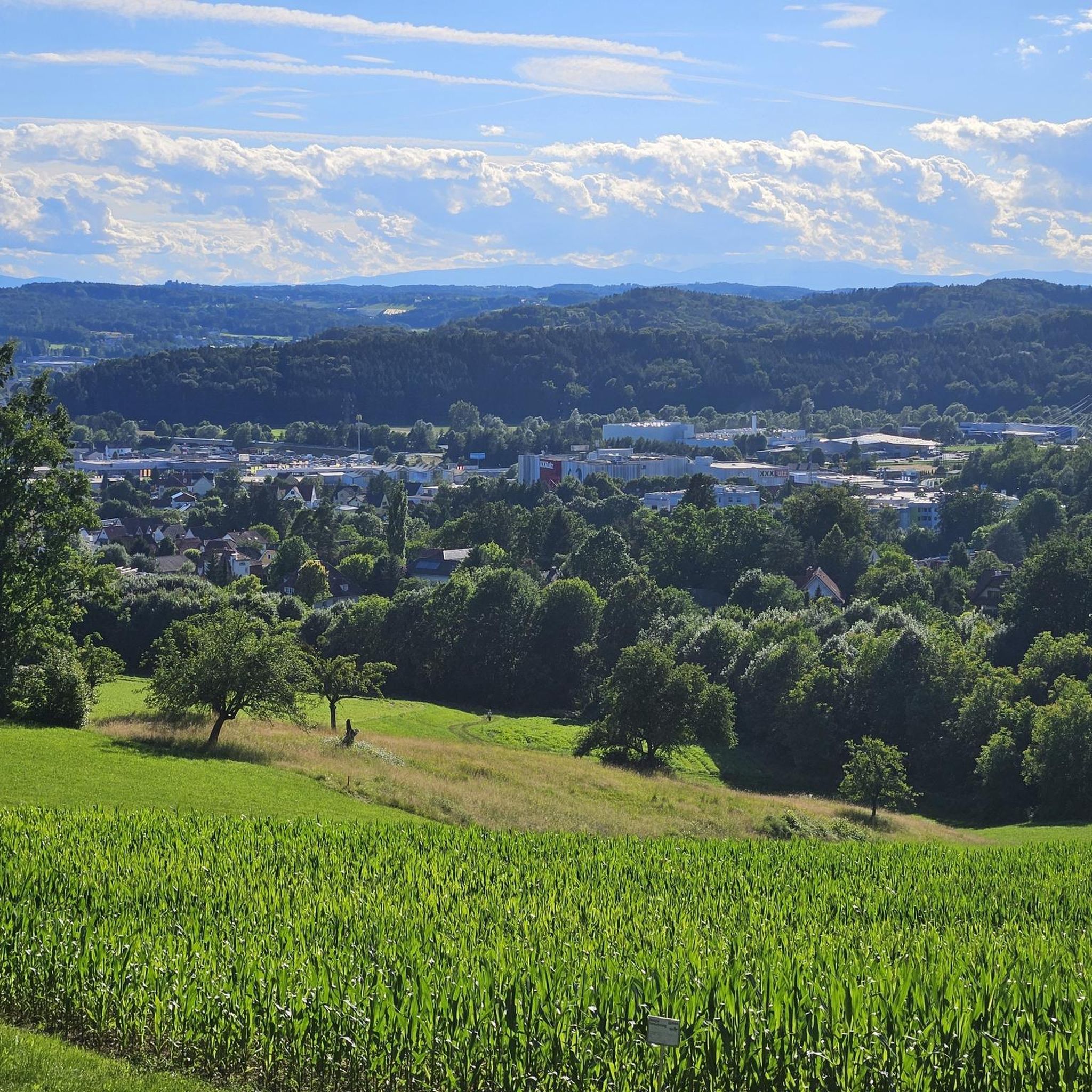
Mountain biking around Gleisdorf offers diverse terrain characterized by rolling hills and elevation changes, providing varied experiences for riders. The landscape features extensive wooded areas, such as the Root Forest, and is influenced by the Rába River. Elevations in the region range between 340 and 403 meters, contributing to the dynamic nature of the trails. This area provides a mix of moderate and challenging paths suitable for different skill levels.
Best mountain bike trails around Gleisdorf
- The most popular mountain…
Last updated: August 31, 2026
4.5
(11)
41
riders
37.6km
02:49
590m
590m
Moderate mountain bike ride. Good fitness required. Suitable for all skill levels.
4.4
(5)
27
riders
Moderate mountain bike ride. Good fitness required. Advanced riding skills necessary.

Sign up for free
4.3
(8)
34
riders
37.6km
02:23
310m
310m
Moderate mountain bike ride. Good fitness required. Advanced riding skills necessary.
4.6
(7)
22
riders
38.1km
02:57
680m
680m
Moderate mountain bike ride. Good fitness required. Advanced riding skills necessary.
4.8
(4)
37
riders
Moderate mountain bike ride. Good fitness required. Suitable for all skill levels.
Get access to more routes and recommendations from other explorers.
Sign up for free
Already have an account?
Our route recommendations are based on thousands of hikes, rides, and runs completed by other people on komoot.
Start today with a free account
Your next adventure awaits.
Login or Signup


Tips from the Community

A nice resting place and shelter from wind and weather.
0
0


Over 140 steps you reach the 32m high observation tower, completed in 2002. From here you can see the entire southeastern and western part of Styria
0
0

I drove today. Everything's working!
0
0

Great view and always good for a stop!
0
0
Beautiful view
0
0

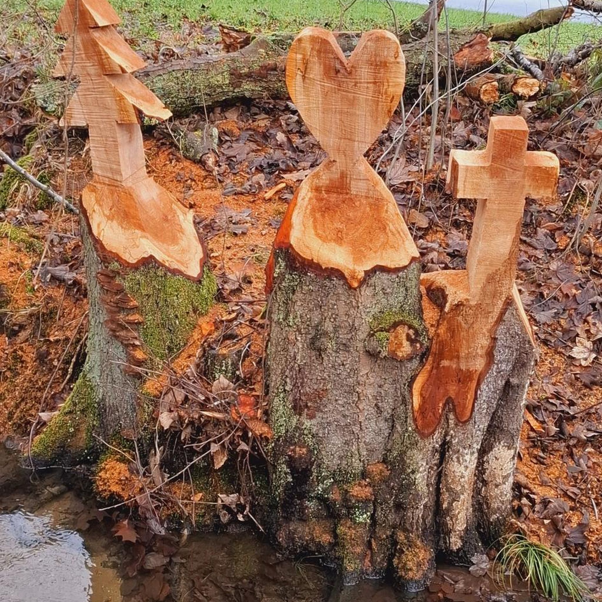
Since the beginning of 2018, ten horseshoe sculptures have been erected in the Weiz-Gleisdorf energy region as part of the LEADER project "Kunst.Hot.Spot." The total project volume amounts to €85,500, 60 percent of which is funded by LEADER funds. It all began in the municipality of Naas with the ceremonial opening of a Styrian panther in July 2018. Eight more horseshoe sculptures followed in the municipalities of Thannhausen, Puch bei Weiz, St. Ruprecht an der Raab, Hofstätten an der Raab, Mitterdorf an der Raab, Mortantsch, Gleisdorf, and Weiz. The ten sculptures represent a Styrian panther. Panther with municipal coat of arms (Naas), mother cow with calf (Thannhausen), apple with heart (Puch), book and viola (St. Ruprecht/R.), squirrel (Hofstätten), municipal coat of arms in 3D (Mitterdorf), mouflon (Mortantsch), Styrian panther with municipal logo (Gleisdorf), Weiz "W" and the Styrian panther with apple. An overview can be found here: https://www.energieregion.at/kunst-hot-spots-uebersicht/
0
0

Drove on November 24: slippery and lots of fallen trees blocking the way. Soonst beautiful.
0
0
Frequently Asked Questions
How many mountain bike trails are available around Gleisdorf?
Gleisdorf offers an extensive network of mountain bike trails, with over 180 tours listed in the broader Mountainbike Region Gleisdorf. Komoot alone features 68 mountain bike routes in the area, providing a wide range of options for riders.
What are the typical difficulty levels for mountain biking in Gleisdorf?
The trails around Gleisdorf cater to various skill levels. You'll find a mix of moderate paths suitable for most riders, as well as more challenging routes for those seeking a technical ride. Out of the 68 routes on komoot, 18 are easy, 45 are moderate, and 5 are difficult.
Are there any circular mountain bike routes in Gleisdorf?
Yes, many of the mountain bike routes around Gleisdorf are designed as loops. For example, the Parish Church of Gleisdorf – Kleeberg Observation Tower loop from Gleisdorf is a popular circular route that combines cultural sights with scenic views.
What kind of terrain can I expect on the mountain bike trails in Gleisdorf?
The landscape around Gleisdorf is characterized by rolling hills and varied elevation changes, offering dynamic riding experiences. You'll encounter extensive wooded areas, such as those found on the Parish Church of Gleisdorf – Root Forest Trail loop from Gleisdorf, and open sections with scenic vistas.
What are some notable viewpoints or attractions accessible by mountain bike in Gleisdorf?
Several routes offer access to prominent viewpoints and historical sites. The Kleeberg Observation Tower provides breathtaking panoramic views from its 31.4-meter height. Another route, the Parish Church of Gleisdorf – Freiberg Castle loop from Gleisdorf, takes you past historical landmarks like Freiberg Castle.
Are there any family-friendly mountain bike trails in Gleisdorf?
Yes, Gleisdorf offers routes suitable for families, particularly those categorized as 'easy' or 'moderate'. These trails often feature less technical terrain and manageable distances, allowing for an enjoyable experience for riders of varying ages and skill levels. Look for routes with lower elevation changes and smoother paths.
What do other mountain bikers say about the trails in Gleisdorf?
The mountain bike trails in Gleisdorf are highly regarded by the komoot community, holding an average rating of 4.4 stars from over 70 reviews. More than 500 mountain bikers have used komoot to explore the area, often praising the diverse terrain and well-maintained paths.
Are there any specific trails for more advanced mountain bikers?
While many trails are moderate, the region also offers more challenging paths for advanced riders. The 'Mountainbike Region Gleisdorf' includes a dedicated Trailcenter with a flow MTB-track, berms, and jumps, as well as a pumptrack, ideal for skill development and dynamic riding. For a challenging route on komoot, consider one of the 5 difficult trails available.
What is the best time of year for mountain biking in Gleisdorf?
The region is generally suitable for mountain biking from spring through autumn, when the weather is mild and trails are dry. The rolling hills and wooded areas provide pleasant conditions during these seasons. Winter riding might be possible on some trails, but conditions can vary with snow and ice.
Are there any other interesting places to explore near the mountain bike routes?
Beyond the trails, you can visit the Kulm Celtic Village (Keltendorf Kulm) Open-Air Museum, which offers a glimpse into over 4,000 years of settlement history. There are also several lakes nearby, such as StrandGut at Badesee Eggersdorf, which can be a refreshing stop after a ride.
Are there options for longer mountain bike tours in Gleisdorf?
Yes, Gleisdorf offers several longer routes. For instance, the Hochsetz Viewpoint – Matschepampe Singletrail loop from Gleisdorf West is a moderate 38.1 km trail, providing a substantial ride for those looking for extended time on the bike.
Most popular routes around Gleisdorf
Most popular attractions around Gleisdorf

Get inspired with the komoot mobile app


Explore more
Browse the best MTB trails in other regions.
